 Block
Busseyville, Wisconsin
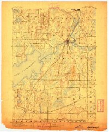
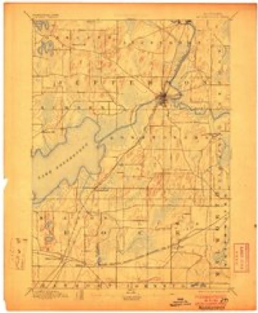
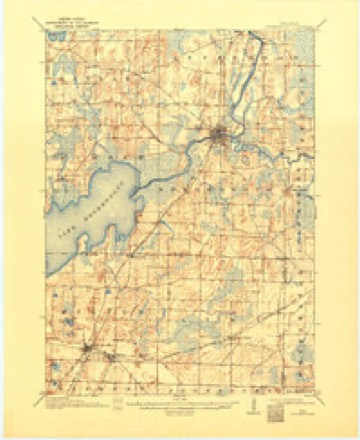
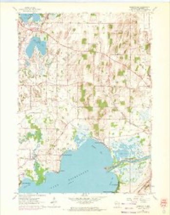
18 topographic sheets cover this place, the earliest surveyed in 1891 and the latest in 1980. It stands in Sumner town. It lies in ZIP code area 53534. It stands on Koshkonong Creek. The Survey maps it on the Busseyville quadrangle.
Topographic sheets covering this place
10 surveys from 18 printed sheetsMatched by testing this settlement's coordinate against the published boundary of every sheet in the United States Geological Survey's historical collection. Each opens the scanned sheet at the Survey.
- 1891 USGS Koshkonong quadrangle1:62500
- 1894 USGS Koshkonong quadrangle1:62500, 2 printings
- 1906 USGS Koshkonong quadrangle1:62500, 3 printings
- 1954 USGS Rockford quadrangle1:250000
- 1955 USGS Rockford quadrangle1:250000
- 1958 USGS Rockford quadrangle1:250000, 4 printings
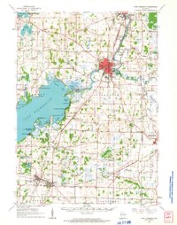
- 1961 USGS Busseyville quadrangle1:24000, 2 printings
- 1961 USGS Fort Atkinson quadrangle1:62500, 2 printings
- 1963 USGS Rockford quadrangle1:250000
- 1980 USGS Lake Geneva quadrangle1:100000





In the county-history sources
1,406 words on this townshipThe History of Jefferson County, Wisconsin, Containing ... Biographical Sketches .., published 1879 has no passage naming this settlement, which was common for smaller places. Its township is covered in full.
The chapter on Sumner Town covers the township.
Read the chapter on Sumner Town - 1,406 words.
Fires near this place
15 since 2013Regional context, not property-specific evidence. The federal wildfire occurrence database lists 15 fires within 5 miles of Busseyville between 2013 and 2020, burning about 19 acres in total. None started naturally. 1 was recorded as arson. Distance is straight-line from the map coordinates, so a fire counted here may appear on a neighbouring settlement's page as well.
| Reported cause | Fires |
|---|---|
| Missing data/not specified/undetermined | 6 |
| Debris and open burning | 6 |
| Arson/incendiarism | 1 |
| Power generation/transmission/distribution | 1 |
| Recreation and ceremony | 1 |
The most recent of them, most recent first, with the day each was reported and the service that recorded it.
| Date | Cause | Size | Reported by | Name on the report |
|---|---|---|---|---|
| 5 August 2018 | Missing data/not specified/undetermined | under an acre | Wisconsin Department of Natural Resources | 1808574 |
| 15 June 2019 | Debris and open burning | under an acre | Wisconsin Department of Natural Resources | 19509 |
| 9 May 2020 | Missing data/not specified/undetermined | 1.0 acres | Wisconsin Department of Natural Resources | 20504 |
| 17 May 2018 | Arson/incendiarism | 1.0 acres | Wisconsin Department of Natural Resources | 1805345 |
| 22 April 2019 | Debris and open burning | under an acre | Wisconsin Department of Natural Resources | 1904331 |
| 11 April 2018 | Missing data/not specified/undetermined | under an acre | Wisconsin Department of Natural Resources | 1804260 |
| 31 March 2019 | Debris and open burning | under an acre | Wisconsin Department of Natural Resources | 1903267 |
| 21 March 2020 | Debris and open burning | 1.0 acres | Wisconsin Department of Natural Resources | 20258 |
Settlements close enough to share some of these fires:
Mines and quarries near this place
1 within 5 milesRegional context, not property-specific evidence. The federal mineral resources record lists 1 working within 5 miles of Busseyville: 1 past producer. None of them still produces. What was taken out: Sand and Gravel, Construction. Distance is straight-line from the map coordinates, so a quarry counted here may appear on a neighbouring settlement's page as well.
| Where | Site | Commodity | Status | Recorded |
|---|---|---|---|---|
| Wolf Construction Co. Pit | Sand and Gravel, Construction | Past Producer |
Storms near this place
22 since 1996Regional context, not property-specific evidence. The National Weather Service names Busseyville in 22 storm reports between 1996 and 2026: 8 thunderstorm wind, 5 tornado, 4 hail, 3 flash flood. No death or injury is recorded in these reports. Each account below is quoted exactly as the forecast office filed it, from the NOAA Storm Events Database, and each date opens the federal record of that event.
| When | Event | Place named | Harm | What the report says |
|---|---|---|---|---|
| June 2010 | Tornado (EF1) | Busseyville | $620,000 | An EF1 tornado developed in Busseyville just south of the intersection of Draves Road and Loga Road, and moved northeast about 1.3 miles and dissipated at the intersection of STH 106 and Carcajou Rd. Thirty residential structures were minimally affected, 1 had minor damage , and 2 sustained major damage (one of which had a large tree collapse part of the structure). A vehicle was damaged when a large tree branch fell on it. Total private sector damage was estimated at $620,000, which included $590,000 for residential structures, $25,000 for farm buildings, and $5,000 for the damaged vehicle. Uprooted trees and snapped tree limbs were noted along the path of the tornado. Some crop damage was noted with a loss estimate of about $10,000. Public sector service (non-damage) costs were limited to just debris clearance which totaled $8,000. The exact start location was Lat.42.89798 Lon. -88.98371. The exact end location was Lat 42.91102 Lon. -88.96454. The EF-rating was based on DI 27 (TH) DOD3 which suggests wind speeds between 90 and 100 mph. The average path width was 50 yards. |
| June 2005 | Thunderstorm Wind | Busseyville | $10,000 | Some large trees were toppled and a couple power lines were snapped. |
| May 2005 | Thunderstorm Wind | Busseyville | $10,000 | Powerlines down. |
| June 2024 | Flash Flood | Busseyville | $5,000 | Flowing water from open fields and residential yards across portions of Lake Drive and into Lake Koshkonong. Flooding basements reported. |
| June 2022 | Thunderstorm Wind | Busseyville | $5,000 | Tree branches down onto two vehicles. Power lines down. |
| June 2013 | Flash Flood | Busseyville | $4,000 | The Jefferson County Emergency Manager reported flooding problems and erosion at the State Highway 26 construction zone near the Rock County border with water rising to 1 to 2 feet deep. Urban flooding was reported in Fort Atkinson with street drainage issues. |
| June 2016 | Flash Flood | Busseyville | $3,000 | Up to 6.5 inches of rain in two hours brought flash flooding of creeks and fields in the Town of Sumner. Many roads were washed out including state highway 106 from Schwemmer Road to Kreutz Road with a foot drop off in some areas. The Becker Road bridge sustained excessive damage on the sidewalls due to large tree limbs blocking the middle of the bridge, thereby diverting water around the sides. Up to 2 feet of water was observed going over the bridge. Approximately 100 or more acres of farmland was flooded mainly near North Shore Road, High Ridge Road, and Burnham Road. |
| April 2026 | Flood | Busseyville | $1,000 | The Rock River at Lake Koshkonong rose to Moderate flood stage. There was widespread flooding of roads and docks in the Town of Koshkonong and Town of Sumner including Vets Lane, Blackhawk Island Road and Oxbow Bend Road. There was knee-deep water over Blackhawk Island Road. Lamp Road on the west side of the river also became flooded. Lake Koshkonong merged with Mud Lake to the east of Lake Koshkonong. |
| April 2026 | Tornado (EF0) | Busseyville | $1,000 | Continuation of the Dane County/Rockdale tornado. Only briefly went into Jefferson county with a field tree line hit. |
| April 1996 | Thunderstorm Wind | Busseyville | $500 | no account filed |
| July 1997 | Thunderstorm Wind | Busseyville | $400 | no account filed |
| February 2024 | Tornado (EF1) | Busseyville | - | This portion of the tornado was also mainly EF-0 or EF-1 type damage as it tracked along the north side of Lake Koshkonong through Busseyville. A few barns and outbuildings made of sheet metal had damage to them along with one residence. |
| October 2019 | Tornado (EF0) | Busseyville | - | Sporadic damage noted along the path of the weak tornado along the southwest side of Fort Atkinson. Clearly started in a corn field that had corn stalks pulled up and deposited on a farm house across the street. Ended on the southern side of the city where a few houses sustained damage, mainly from trees falling on them. |
| July 2011 | Thunderstorm Wind | Busseyville | - | Law enforcement officials reported trees and power lines down in an 8-mile wide swath from near Busseyville to north of Palmyra due to damaging thunderstorm wind gusts estimated at 56 knots (64 mph). Corn crops were also blown down by the damaging winds. |
| July 2006 | Thunderstorm Wind | Busseyville | - | Trees down. |
| August 2005 | Tornado (F1) | Busseyville | - | This tornado was a continuation of the F3 tornado that tore through the area north of Stoughton (Dane Co.). It crossed into Jefferson County at 1805CST where CTH C starts, about 2.8 miles north-northwest of Busseyville (Jefferson Co.). It traveled east-southeast for about 1.6 miles and dissipated just south of the end of Hartwig Road, about 2.2 miles north-northwest of Busseyville, at 1805 CST. Damage to large tees was noted, as well as some minor crop damage. This portion of the tornado track was rated F1 with estimated wind speeds of 64-97 knots (73-112 mph). The average path width was 50 yards. |
| April 2025 | Hail | Busseyville | - | no account filed |
| March 2017 | Hail | Busseyville | - | no account filed |
| June 2008 | Funnel Cloud | Busseyville | - | no account filed |
| March 2007 | Hail | Busseyville | - | no account filed |
| May 2005 | Hail | Busseyville | - | no account filed |
| August 2002 | Thunderstorm Wind | Busseyville | - | no account filed |
Nearest settlements
The eight closest, with where each one stands in the county. Distances are straight-line, computed from the Geographic Names Information System coordinates.
| Map | Place | Distance | Sheets |
|---|---|---|---|
| Glenn Oaks Beach | 1.3 miles | 18 | |
| Koshkonong Manor | 1.5 miles | 18 | |
| Carcajou | 1.5 miles | 18 | |
| North Shore | 3.7 miles | 18 | |
| Lake Koshkonong | 3.7 miles | 18 | |
| Koshkonong Mounds | 4.4 miles | 19 | |
| Vinnie Ha Ha | 4.6 miles | 18 | |
| Blackhawk Island | 5.1 miles | 18 |
Provenance
This settlement is recorded in the Geographic Names Information System as feature 1562463. The sheet list is computed by point-in-boundary test against the United States Geological Survey's historical topographic inventory. Both are works of the United States government and carry no copyright under 17 U.S.C. 105.
Wildfire. Short, Karen C. 2022. Spatial wildfire occurrence data for the United States, 1992-2020 [FPA_FOD_20221014]. 6th Edition. Fort Collins, CO: Forest Service Research Data Archive. https://doi.org/10.2737/RDS-2013-0009.6 Collected with United States Government funding and usable without additional permissions or fees.
Mines and quarries. USGS Mineral Resources Data System (MRDS) https://mrdata.usgs.gov/mrds/ A work of the United States government, no copyright under 17 U.S.C. 105.
Storms. NOAA National Centers for Environmental Information, Storm Events Database https://www.ncei.noaa.gov/stormevents/ A work of the United States government, no copyright under 17 U.S.C. 105. Narratives are quoted verbatim from the National Weather Service report and are not edited or summarised.