 Block
Carrollville, Wisconsin
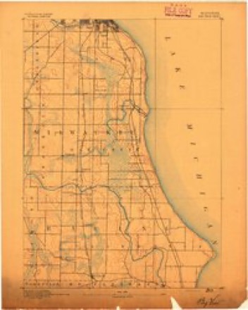
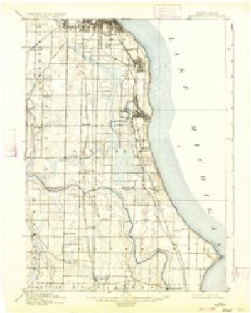
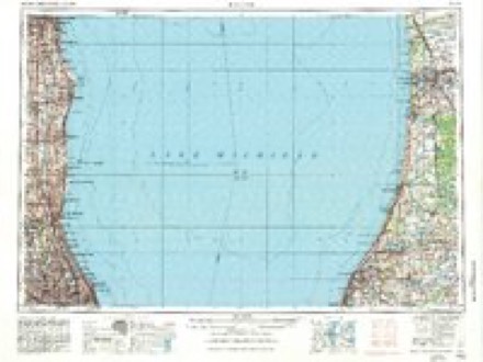
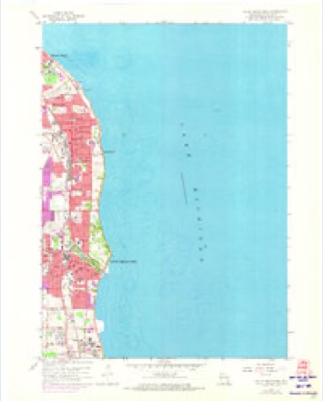
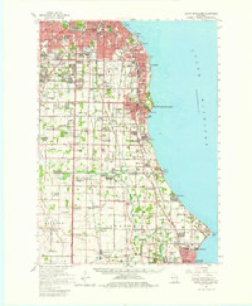
17 topographic sheets cover this place, the earliest surveyed in 1891 and the latest in 1980. It stands in Oak Creek City. It lies in ZIP code area 53154. The Survey maps it on the South Milwaukee quadrangle.
Topographic sheets covering this place
7 surveys from 17 printed sheetsMatched by testing this settlement's coordinate against the published boundary of every sheet in the United States Geological Survey's historical collection. Each opens the scanned sheet at the Survey.
- 1891 USGS Bayview quadrangle1:62500, 2 printings
- 1901 USGS Bayview quadrangle1:62500, 4 printings
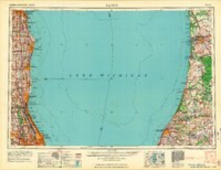
- 1958 USGS Racine quadrangle1:250000, 3 printings
- 1958 USGS South Milwaukee quadrangle1:24000, 4 printings
- 1958 USGS South Milwaukee quadrangle1:62500, 2 printings
- 1962 USGS Racine quadrangle1:250000
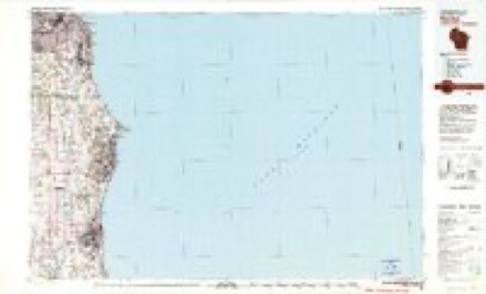
- 1980 USGS Racine quadrangle1:100000
Fires near this place
13 since 2018Regional context, not property-specific evidence. The federal wildfire occurrence database lists 13 fires within 5 miles of Carrollville between 2018 and 2020, burning about 5 acres in total. None started naturally. 1 was recorded as arson. Distance is straight-line from the map coordinates, so a fire counted here may appear on a neighbouring settlement's page as well.
| Reported cause | Fires |
|---|---|
| Missing data/not specified/undetermined | 9 |
| Debris and open burning | 2 |
| Smoking | 1 |
| Arson/incendiarism | 1 |
The most recent of them, most recent first, with the day each was reported and the service that recorded it.
| Date | Cause | Size | Reported by | Name on the report |
|---|---|---|---|---|
| 18 August 2020 | Missing data/not specified/undetermined | under an acre | Wisconsin Department of Natural Resources | 2001474 |
| 9 July 2020 | Missing data/not specified/undetermined | under an acre | Wisconsin Department of Natural Resources | 2001423 |
| 9 July 2018 | Missing data/not specified/undetermined | 1.0 acres | Wisconsin Department of Natural Resources | 2317 |
| 6 July 2018 | Missing data/not specified/undetermined | under an acre | Wisconsin Department of Natural Resources | 1801254 |
| 5 July 2018 | Missing data/not specified/undetermined | 1.0 acres | Wisconsin Department of Natural Resources | 1801249 |
| 29 July 2018 | Missing data/not specified/undetermined | under an acre | Wisconsin Department of Natural Resources | 1343 |
| 3 June 2020 | Missing data/not specified/undetermined | under an acre | Wisconsin Department of Natural Resources | 2000944 |
| 27 May 2018 | Debris and open burning | 1.0 acres | Wisconsin Department of Natural Resources | 1391 |
Settlements close enough to share some of these fires:
Mines and quarries near this place
2 within 5 milesRegional context, not property-specific evidence. The federal mineral resources record lists 2 workings within 5 miles of Carrollville: 1 unknown, 1 past producer. None of them still produces. What was taken out: Stone, Sand and Gravel, Construction. Distance is straight-line from the map coordinates, so a quarry counted here may appear on a neighbouring settlement's page as well.
| Where | Site | Commodity | Status | Recorded |
|---|---|---|---|---|
| Lake Michigan Sand Pit | Sand and Gravel, Construction | Past Producer | ||
| Own Crews | Stone | Unknown |
Storms near this place
3 since 2024Regional context, not property-specific evidence. The National Weather Service names Carrollville in 3 storm reports between 2024 and 2025: 2 hail, 1 flash flood. The reports record 1 death. Each account below is quoted exactly as the forecast office filed it, from the NOAA Storm Events Database, and each date opens the federal record of that event.
| When | Event | Place named | Harm | What the report says |
|---|---|---|---|---|
| August 2025 | Flash Flood | Carrollville | 1 killed, $60,000,000 | Widespread and numerous reports of flash flooding in streets, in addition to rivers, creeks, and streams across the southern two thirds of Milwaukee County. 1800 homes were classified as major damage or destroyed due to flash flooding of the Lincoln and Honey Creeks. Many instances of flooded basements across the impacted area. Six foundations collapsed into basements of homes in the 60th street neighborhood near Lincoln Creek, with two homes being condemned. Additional basement collapse reported in West Allis near Honey Creek. Many vehicles stranded in flood waters, with multiple water rescues conducted by the Milwaukee Fire Department. Water reached the bottom of car doors at Wisconsin State Fair Park. Reports of water inside vehicles along Delaware Avenue in Bay View. Multiple runway and taxiway closures reported at Mitchell International Airport and Timmerman Field from flooding. Impacts contribute to an estimated $65,813,855 in public and individual infrastructure damages countywide. Brief (30-45 minute total duration) rises into moderate flood stage along the Kinnickinnic River at Milwaukee and Oak Creek in South Milwaukee between 12:30 & 2:30 AM local time on August 10. At 10 feet, water impacts the yards of homes along Oak Creek in South Milwaukee. At 16 feet, flood water is approximately 1 foot over the top of the concrete-lined channel of the Kinnickinnic River at Milwaukee, affecting homes in the residential neighborhood next to the river. Homeless camp swept away as a result of rapid rises along the Kinnickinnic River, leaving some dead and missing. |
| May 2025 | Hail | Carrollville | - | no account filed |
| May 2024 | Hail | Carrollville | - | no account filed |
Nearest settlements
The eight closest, with where each one stands in the county. Distances are straight-line, computed from the Geographic Names Information System coordinates.
| Map | Place | Distance | Sheets |
|---|---|---|---|
| Oak Creek | 0.6 miles | 17 | |
| South Milwaukee | 2.1 miles | 17 | |
| Oakwood | 4.0 miles | 17 | |
| Cudahy | 5.5 miles | 17 | |
| Saint Francis | 6.2 miles | 16 | |
| Greendale | 8.6 miles | 16 | |
| Franklin | 9.7 miles | 18 | |
| Greenfield | 10.1 miles | 18 |
Provenance
This settlement is recorded in the Geographic Names Information System as feature 1562745. The sheet list is computed by point-in-boundary test against the United States Geological Survey's historical topographic inventory. Both are works of the United States government and carry no copyright under 17 U.S.C. 105.
Wildfire. Short, Karen C. 2022. Spatial wildfire occurrence data for the United States, 1992-2020 [FPA_FOD_20221014]. 6th Edition. Fort Collins, CO: Forest Service Research Data Archive. https://doi.org/10.2737/RDS-2013-0009.6 Collected with United States Government funding and usable without additional permissions or fees.
Mines and quarries. USGS Mineral Resources Data System (MRDS) https://mrdata.usgs.gov/mrds/ A work of the United States government, no copyright under 17 U.S.C. 105.
Storms. NOAA National Centers for Environmental Information, Storm Events Database https://www.ncei.noaa.gov/stormevents/ A work of the United States government, no copyright under 17 U.S.C. 105. Narratives are quoted verbatim from the National Weather Service report and are not edited or summarised.