 Block
Centerville, Wisconsin
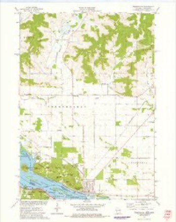
11 topographic sheets cover this place, the earliest surveyed in 1929 and the latest in 1985. It stands in Trempealeau town. It lies in ZIP code area 54661. It lies near Tamarack Valley. The Survey maps it on the Trempealeau quadrangle.
Topographic sheets covering this place
6 surveys from 11 printed sheetsMatched by testing this settlement's coordinate against the published boundary of every sheet in the United States Geological Survey's historical collection. Each opens the scanned sheet at the Survey.
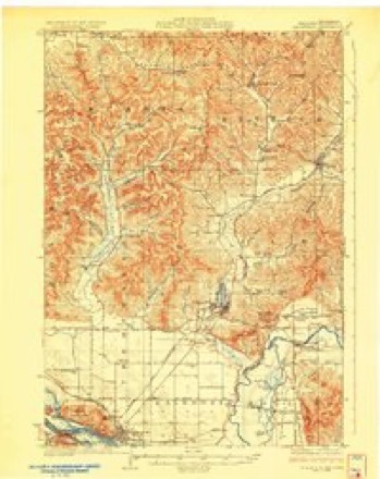
- 1929 USGS Galesville quadrangle1:62500, 2 printings
- 1953 USGS Eau Claire quadrangle1:250000, 4 printings
- 1958 USGS Eau Claire quadrangle1:250000
- 1964 USGS Eau Claire quadrangle1:250000
- 1973 USGS Trempealeau quadrangle1:24000
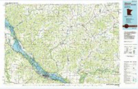
- 1985 USGS Winona quadrangle1:100000, 2 printings
In the county-history sources
4,024 words on this townshipHistory of Trempealeau County, Wisconsin, published 1917 has no passage naming this settlement, which was common for smaller places. Its township is covered in full.
The chapter on Trempealeau Town covers the township.
Read the chapter on Trempealeau Town - 4,024 words.
Fires near this place
9 since 1994Regional context, not property-specific evidence. The federal wildfire occurrence database lists 9 fires within 5 miles of Centerville between 1994 and 2020, burning about 3 acres in total. 2 started naturally. None was recorded as arson. Distance is straight-line from the map coordinates, so a fire counted here may appear on a neighbouring settlement's page as well.
| Reported cause | Fires |
|---|---|
| Missing data/not specified/undetermined | 3 |
| Railroad operations and maintenance | 2 |
| Natural | 2 |
| Smoking | 1 |
| Debris and open burning | 1 |
The most recent of them, most recent first, with the day each was reported and the service that recorded it.
| Date | Cause | Size | Reported by | Name on the report |
|---|---|---|---|---|
| 25 August 2014 | Natural | under an acre | Trempeleau National Wildlife Refuge | BFC |
| 10 July 2006 | Railroad operations and maintenance | under an acre | Minnesota Department of Natural Resources | not named |
| 15 June 1994 | Railroad operations and maintenance | under an acre | Minnesota Department of Natural Resources | not named |
| 7 May 2020 | Smoking | 1.0 acres | Wisconsin Department of Natural Resources | 2023 |
| 7 May 2004 | Natural | under an acre | Minnesota Department of Natural Resources | not named |
| 30 April 2018 | Missing data/not specified/undetermined | under an acre | Wisconsin Department of Natural Resources | 1825 |
| 12 April 2020 | Missing data/not specified/undetermined | 1.0 acres | Wisconsin Department of Natural Resources | 2018 |
| 19 March 2018 | Debris and open burning | under an acre | Wisconsin Department of Natural Resources | 1819 |
Settlements close enough to share some of these fires:
Mines and quarries near this place
10 of 21 shownRegional context, not property-specific evidence. The federal mineral resources record lists 21 workings within 5 miles of Centerville: 17 past producers, 3 occurrences, 1 producer. 1 still produces. What was taken out: Stone, Crushed/Broken, Sand and Gravel, Construction. Distance is straight-line from the map coordinates, so a quarry counted here may appear on a neighbouring settlement's page as well.
| Where | Site | Commodity | Status | Recorded |
|---|---|---|---|---|
| C Carhart Gravel Pit | Sand and Gravel, Construction | Past Producer | ||
| F Klein Gravel Pit | Sand and Gravel, Construction | Past Producer | ||
| F Klein Sand Pit | Sand and Gravel, Construction | Past Producer | ||
| Frank Eichman Pit | Sand and Gravel, Construction | Producer | ||
| H Kohnle Sand Pit | Sand and Gravel, Construction | Past Producer | ||
| R Bark Gravel Pit | Sand and Gravel, Construction | Past Producer | ||
| R Kriesel Sand Deposit | Sand and Gravel, Construction | Occurrence | ||
| Sonsalla Farms Gravel Pit | Sand and Gravel, Construction | Past Producer | ||
| Trempealeau Gravel Pit | Sand and Gravel, Construction | Past Producer | ||
| A Losinski Shale Quarry | Stone, Crushed/Broken | Past Producer |
Storms near this place
27 since 1996Regional context, not property-specific evidence. The National Weather Service names Centerville in 27 storm reports between 1996 and 2025: 12 hail, 7 thunderstorm wind, 3 tornado, 3 heavy rain. No death or injury is recorded in these reports. Each account below is quoted exactly as the forecast office filed it, from the NOAA Storm Events Database, and each date opens the federal record of that event.
| When | Event | Place named | Harm | What the report says |
|---|---|---|---|---|
| July 2017 | Hail | Centerville | $250,000 | Tennis ball sized hail was reported in Centerville. |
| July 2017 | Hail | Centerville | $230,000 | Baseball sized hail broke windows near Perrot State Park. |
| July 2017 | Hail | Centerville | $220,000 | Egg sized hail was reported west of Centerville. |
| September 2011 | Lightning | Centerville | $150,000 | A house was destroyed by a fire started by a lightning strike. |
| June 2021 | Hail | Centerville | $95,000 | Egg sized hail was reported west of Centerville. |
| December 2021 | Tornado (EF1) | Centerville | $25,000 | This EF1 tornado initially formed in Winona County Minnesota before crossing the Mississippi River and moving through the Trempealeau Wildlife Refuge. Hundreds of trees were damaged by the tornado before it dissipated along the northeast side of the refuge. |
| July 2013 | Tornado (EF0) | Centerville | $22,000 | The tornado began as a waterspout in the marsh waters just off the main channel of the Mississippi River southeast of Winona, Minnesota, but on the Wisconsin side. White spray could be seen for some distance as the waterspout pulled up water into the funnel. The tornado then moved onshore in the Trempealeau Wildlife Refuge and knocked down numerous trees for nearly a half mile. Water plants were found on the refuge roads suggesting they were thrown some distance. |
| June 2021 | Thunderstorm Wind | Centerville | $20,000 | Numerous trees were blown down in Centerville and just east along Highways 93 and 54. Some of the downed trees went through the roofs of homes. The winds also pushed over corn in nearby fields. |
| August 1997 | Thunderstorm Wind | Centerville | $6,500 | no account filed |
| September 2011 | Thunderstorm Wind | Centerville | $5,000 | Several trees were blown down along State Highway 35 between Centerville and Trempealeau. |
| June 2001 | Hail | Centerville | $2,000 | no account filed |
| August 2005 | Tornado (F0) | Centerville | $1,500 | no account filed |
| May 2025 | Hail | Centerville | - | Law enforcement reported quarter sized hail in Centerville. |
| October 2023 | Heavy Rain | Centerville | - | An automated weather observation station reported 4.89 inches of rainfall near Centerville. |
| October 2023 | Heavy Rain | Centerville | - | An automated weather observation station reported 4.16 inches of rainfall near Centerville. |
| October 2023 | Heavy Rain | Centerville | - | An automated weather observation station near Centerville reported 4.24 inches of rainfall. |
| December 2021 | Thunderstorm Wind | Centerville | - | A 65 mph wind gust west of Centerville was measured by a mesonet station. |
| August 2019 | Funnel Cloud | Centerville | - | A funnel cloud was sighted west of Centerville from a storm that had formed along the Mississippi River. |
| July 2017 | Hail | Centerville | - | Ping pong ball sized hail fell southwest of Centerville. The hail damaged grapes at a local winery. |
| June 2015 | Hail | Centerville | - | Golfball sized hail fell north of Centerville. The hail damaged about 30 percent of the apple crop of one orchard near Centerville. |
| June 2015 | Hail | Centerville | - | Golfball sized hail fell in Centerville. |
| April 2014 | Thunderstorm Wind | Centerville | - | An estimated wind gust of 60 mph occurred in Centerville. |
| July 2013 | Hail | Centerville | - | Ping pong ball to golf ball sized hail fell in Centerville. |
| August 2012 | Thunderstorm Wind | Centerville | - | Strong winds blew down corn and combined with nickel sized hail stripped crops along and near Highway 35 between Galesville and Centerville. |
| April 2009 | Hail | Centerville | - | no account filed |
| June 2001 | Hail | Centerville | - | no account filed |
| May 1996 | Thunderstorm Wind | Centerville | - | no account filed |
Nearest settlements
The eight closest, with where each one stands in the county. Distances are straight-line, computed from the Geographic Names Information System coordinates.
| Map | Place | Distance | Sheets |
|---|---|---|---|
| Wrights Corners | 0.5 miles | 11 | |
| West Prairie | 3.4 miles | 18 | |
| Pine Creek (historical) | 4.2 miles | 18 | |
| Trempealeau | 4.5 miles | 11 | |
| Galesville | 5.5 miles | 11 | |
| Pine Creek | 6.0 miles | 16 | |
| Dodge | 6.9 miles | 16 | |
| Tamarack | 7.2 miles | 11 |
Provenance
This settlement is recorded in the Geographic Names Information System as feature 1562894. The sheet list is computed by point-in-boundary test against the United States Geological Survey's historical topographic inventory. Both are works of the United States government and carry no copyright under 17 U.S.C. 105.
Wildfire. Short, Karen C. 2022. Spatial wildfire occurrence data for the United States, 1992-2020 [FPA_FOD_20221014]. 6th Edition. Fort Collins, CO: Forest Service Research Data Archive. https://doi.org/10.2737/RDS-2013-0009.6 Collected with United States Government funding and usable without additional permissions or fees.
Mines and quarries. USGS Mineral Resources Data System (MRDS) https://mrdata.usgs.gov/mrds/ A work of the United States government, no copyright under 17 U.S.C. 105.
Storms. NOAA National Centers for Environmental Information, Storm Events Database https://www.ncei.noaa.gov/stormevents/ A work of the United States government, no copyright under 17 U.S.C. 105. Narratives are quoted verbatim from the National Weather Service report and are not edited or summarised.