 Block
Cleghorn, Wisconsin
12 topographic sheets cover this place, the earliest surveyed in 1927 and the latest in 1985. It stands in Pleasant Valley town. It lies in ZIP code area 54738. The Survey maps it on the Cleghorn quadrangle.
Topographic sheets covering this place
7 surveys from 12 printed sheetsMatched by testing this settlement's coordinate against the published boundary of every sheet in the United States Geological Survey's historical collection. Each opens the scanned sheet at the Survey.
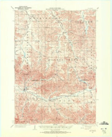
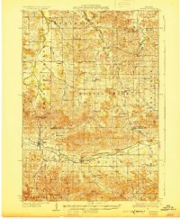
- 1927 USGS Strum quadrangle1:62500
- 1930 USGS Strum quadrangle1:62500, 2 printings
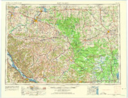
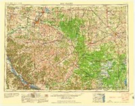
- 1953 USGS Eau Claire quadrangle1:250000, 4 printings
- 1958 USGS Eau Claire quadrangle1:250000
- 1964 USGS Eau Claire quadrangle1:250000
- 1973 USGS Cleghorn quadrangle1:24000
- 1985 USGS Eau Claire quadrangle1:100000, 2 printings
Fires near this place
11 since 2009Regional context, not property-specific evidence. The federal wildfire occurrence database lists 11 fires within 5 miles of Cleghorn between 2009 and 2020, burning about 133 acres in total. None started naturally. 2 were recorded as arson. Distance is straight-line from the map coordinates, so a fire counted here may appear on a neighbouring settlement's page as well.
| Reported cause | Fires |
|---|---|
| Missing data/not specified/undetermined | 6 |
| Debris and open burning | 3 |
| Arson/incendiarism | 2 |
The most recent of them, most recent first, with the day each was reported and the service that recorded it.
| Date | Cause | Size | Reported by | Name on the report |
|---|---|---|---|---|
| 31 July 2020 | Missing data/not specified/undetermined | 1.0 acres | Wisconsin Department of Natural Resources | 205237 |
| 26 July 2020 | Missing data/not specified/undetermined | under an acre | Wisconsin Department of Natural Resources | 2020040 |
| 1 July 2020 | Missing data/not specified/undetermined | 1.0 acres | Wisconsin Department of Natural Resources | 204370 |
| 10 June 2019 | Debris and open burning | under an acre | Wisconsin Department of Natural Resources | 87 |
| 12 May 2020 | Missing data/not specified/undetermined | under an acre | Wisconsin Department of Natural Resources | 116 |
| 12 May 2020 | Missing data/not specified/undetermined | under an acre | Wisconsin Department of Natural Resources | 117 |
| 30 April 2018 | Debris and open burning | 122 acres | Wisconsin Department of Natural Resources | PLEASANT VALLEY |
| 27 April 2019 | Debris and open burning | under an acre | Wisconsin Department of Natural Resources | 123 |
Settlements close enough to share some of these fires:
Mines and quarries near this place
4 within 5 milesRegional context, not property-specific evidence. The federal mineral resources record lists 4 workings within 5 miles of Cleghorn: 4 past producers. None of them still produces. What was taken out: Stone, Crushed/Broken. Distance is straight-line from the map coordinates, so a quarry counted here may appear on a neighbouring settlement's page as well.
| Where | Site | Commodity | Status | Recorded |
|---|---|---|---|---|
| Cleghorn Shale Quarry | Stone, Crushed/Broken | Past Producer | ||
| Eldore Henning Shale Quarry | Stone, Crushed/Broken | Past Producer | ||
| Lowes Creek Road Shale Quarry | Stone, Crushed/Broken | Past Producer | ||
| Myren Road Dolomite Quarry | Stone, Crushed/Broken | Past Producer |
Storms near this place
17 since 1996Regional context, not property-specific evidence. The National Weather Service names Cleghorn in 17 storm reports between 1996 and 2026: 8 hail, 3 flash flood, 2 thunderstorm wind, 2 tornado. No death or injury is recorded in these reports. Each account below is quoted exactly as the forecast office filed it, from the NOAA Storm Events Database, and each date opens the federal record of that event.
| When | Event | Place named | Harm | What the report says |
|---|---|---|---|---|
| September 2015 | Flash Flood | Cleghorn | $300,000 | Local officials reported several roads closed across southern Eau Claire County due to excessive rainfall, with amounts of 3 to 5 inches in a 3 hour period. Several culverts were damaged along Highway 53 and Highway 12 near Augusta. State officials estimated that there was about $300,000 in road damage in Eau Claire County. |
| April 2026 | Flash Flood | Cleghorn | - | Trained spotter reported water flowing over the roadway along Lowes Creek Rd just west of State Highway 93. |
| May 2025 | Hail | Cleghorn | - | Two rounds of hail fell near Deerfield Road south of Eau Claire over the course of about 15 minutes. The largest hail report was 2 inches in diameter around the intersection of Deerfield and State Highway 93. |
| April 2025 | Tornado (EF1) | Cleghorn | - | A pole barn was destroyed with parts of the barn in nearby trees and a field. Trees were uprooted and trunks snapped as the tornado moved to the east. The maximum estimated wind speed was 95 mph. |
| April 2025 | Tornado (EF1) | Cleghorn | - | This tornado started just northeast of Mondovi in Buffalo County (see entry by NWS La Crosse). It crossed into Eau Claire County, snapping trees and then large branches, before|dissipating. The maximum estimated wind speed was 95 mph. |
| May 2022 | Funnel Cloud | Cleghorn | - | There was a report of a funnel cloud southeast of Eau Claire. |
| March 2019 | Flood | Cleghorn | - | As snow began to melt, areal flooding started, especially along the smaller creeks and streams that lead into the Eau Claire, and Chippewa Rivers. Several roads were closed throughout the County due to washouts. Many homes and businesses were also flooded, with the City of Eau Claire reported sewer backups. |
| August 2016 | Flash Flood | Cleghorn | - | Due to excessive rainfall amounts of 3 to 6 inches in far southern Eau Claire County, Highway 93 was closed in both directions between County U to County I, and U.S. Highway 53 was closed in both directions between County HH and Lark Road. |
| June 2013 | Thunderstorm Wind | Cleghorn | - | A large tree blew down across Highway W, northeast of Mondovi. |
| July 2003 | Hail | Cleghorn | - | Ground nearly covered. |
| July 2014 | Hail | Cleghorn | - | no account filed |
| August 2013 | Hail | Cleghorn | - | no account filed |
| August 2013 | Hail | Cleghorn | - | no account filed |
| May 2008 | Hail | Cleghorn | - | no account filed |
| October 2006 | Hail | Cleghorn | - | no account filed |
| September 2000 | Hail | Cleghorn | - | no account filed |
| June 1996 | Thunderstorm Wind | Cleghorn | - | no account filed |
Nearest settlements
The eight closest, with where each one stands in the county. Distances are straight-line, computed from the Geographic Names Information System coordinates.
| Map | Place | Distance | Sheets |
|---|---|---|---|
| Allen | 3.5 miles | 12 | |
| Green Acres | 3.9 miles | 12 | |
| Brackett | 4.2 miles | 12 | |
| Nix Corner | 4.9 miles | 12 | |
| Foster | 6.7 miles | 12 | |
| Nelsonville (historical) | 7.8 miles | 11 | |
| Hale Corner | 8.1 miles | 12 | |
| Putnam Heights | 8.2 miles | 15 |
Provenance
This settlement is recorded in the Geographic Names Information System as feature 1563173. The sheet list is computed by point-in-boundary test against the United States Geological Survey's historical topographic inventory. Both are works of the United States government and carry no copyright under 17 U.S.C. 105.
Wildfire. Short, Karen C. 2022. Spatial wildfire occurrence data for the United States, 1992-2020 [FPA_FOD_20221014]. 6th Edition. Fort Collins, CO: Forest Service Research Data Archive. https://doi.org/10.2737/RDS-2013-0009.6 Collected with United States Government funding and usable without additional permissions or fees.
Mines and quarries. USGS Mineral Resources Data System (MRDS) https://mrdata.usgs.gov/mrds/ A work of the United States government, no copyright under 17 U.S.C. 105.
Storms. NOAA National Centers for Environmental Information, Storm Events Database https://www.ncei.noaa.gov/stormevents/ A work of the United States government, no copyright under 17 U.S.C. 105. Narratives are quoted verbatim from the National Weather Service report and are not edited or summarised.