 Block
Clifton, Wisconsin
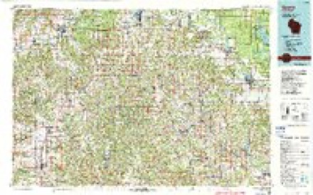
13 topographic sheets cover this place, the earliest surveyed in 1919 and the latest in 1985. It stands in Clifton town. It lies in ZIP code area 54618. It stands on Indian Creek. The Survey maps it on the Camp Douglas quadrangle. It stands 981 feet above sea level.
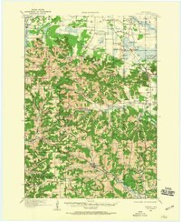
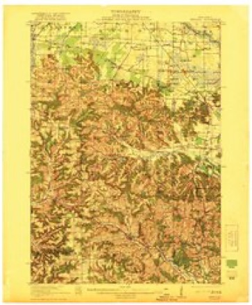
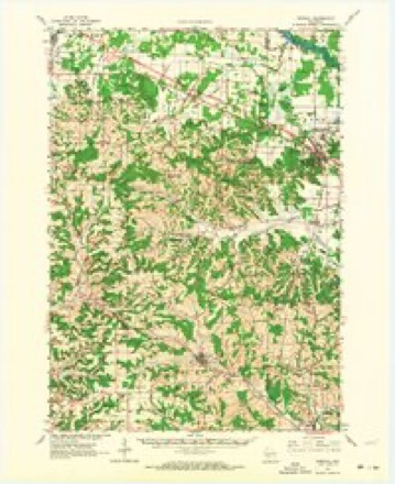
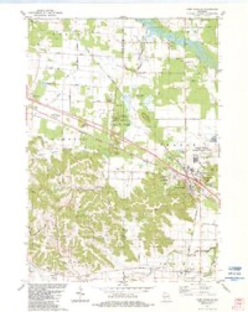
Topographic sheets covering this place
9 surveys from 13 printed sheetsMatched by testing this settlement's coordinate against the published boundary of every sheet in the United States Geological Survey's historical collection. Each opens the scanned sheet at the Survey.
- 1919 USGS Kendall quadrangle1:62500
- 1921 USGS Kendall quadrangle1:62500, 2 printings
- 1958 USGS La Crosse quadrangle1:250000, 2 printings
- 1961 USGS La Crosse quadrangle1:250000
- 1962 USGS Kendall quadrangle1:62500, 2 printings
- 1965 USGS La Crosse quadrangle1:250000
- 1976 USGS La Crosse quadrangle1:250000
- 1983 USGS Camp Douglas quadrangle1:24000
- 1985 USGS Sparta quadrangle1:100000, 2 printings




In the county-history sources
4,791 words on this townshipHistory of Monroe County, Wisconsin, Past and Present : Including an Account of the Cities, Towns and Villages of the County [microform], published 1912 names this settlement in its chapter on Clifton Town. These are the passages that mention it, exactly as the scans read.
In a joint meeting AA'hich Avas called by the Dorset, Clifton and South Ridge congregations, January 10. 1877. it Avas agreed to appoint Rev. C. Zlomke from Atlantic. la., to the charge. He entered the field during !May. preaching on tAVO consecutive Sundays at Dorset and Clifton, and devoting every third Sabbath day to missionary Avork in the South Ridge and AYilton settlements. His salary amounted to $325, Immanuel's contributing $125. When he Avas granted an honorarj' dismissal, June 27, 1880,
Passage source: History of Monroe County, Wisconsin, Past and Present : Including an Account of the Cities, Towns and Villages of the County [microform], published 1912.
Rev. F. Steyer, who had been appointed by the remaining three congregations, took up his residence at Clifton and came to preach in the Strozinsky school house to the few aforenamed Lutherans. Instruction for confirmation was conducted in a vacant house belonging to Mr. Bruno Krueger. After a few months they worshiped in district school house No. 5. At last, the congregation failing to collect the promised $200 salary, the Rev. Wirz was asked to resign, June 4, 1886. On April 17, 1887, Rev. Steyer was allowed to preach in the church, whereupon he was chosen pastor May 2d.
Passage source: History of Monroe County, Wisconsin, Past and Present : Including an Account of the Cities, Towns and Villages of the County [microform], published 1912.
In the spring of 1889 Rev. Steyer dissolved his connection with this congregation in order to go to Fair Haven, Stearns county, INIinnesota, and Rev. J. Himmler came to fill the vacancy, his installation taking place on the 7th day of July, 1889. He labored diligently in the midst of this congregation and at Clifton, South Ridge and Wilton, having in the meantime separated from this charge with intentions of calling their own minister.
Passage source: History of Monroe County, Wisconsin, Past and Present : Including an Account of the Cities, Towns and Villages of the County [microform], published 1912.
Machine-read from a century-old scan, so expect the errors a machine makes: misspelled names, dropped words, stray characters.
Read the whole chapter on Clifton Town - it names this place 9 more 9 times.
Fires near this place
52 since 1992Regional context, not property-specific evidence. The federal wildfire occurrence database lists 52 fires within 5 miles of Clifton between 1992 and 2020, burning about 60 acres in total. 1 started naturally. 5 were recorded as arson. Distance is straight-line from the map coordinates, so a fire counted here may appear on a neighbouring settlement's page as well.
| Reported cause | Fires |
|---|---|
| Equipment and vehicle use | 20 |
| Debris and open burning | 15 |
| Missing data/not specified/undetermined | 8 |
| Arson/incendiarism | 5 |
| Railroad operations and maintenance | 2 |
| Natural | 1 |
| Other causes | 1 |
The most recent of them, most recent first, with the day each was reported and the service that recorded it.
| Date | Cause | Size | Reported by | Name on the report |
|---|---|---|---|---|
| 20 September 2005 | Equipment and vehicle use | under an acre | Wisconsin Department of Natural Resources | not named |
| 2 September 2020 | Equipment and vehicle use | under an acre | Wisconsin Department of Natural Resources | 52 MILEMARKER |
| 11 August 2007 | Natural | under an acre | Wisconsin Department of Natural Resources | not named |
| 8 July 2007 | Missing data/not specified/undetermined | 1.5 acres | Wisconsin Department of Natural Resources | not named |
| 5 July 2019 | Equipment and vehicle use | under an acre | Wisconsin Department of Natural Resources | MM52 |
| 28 July 2010 | Missing data/not specified/undetermined | under an acre | Wisconsin Department of Natural Resources | S 12&16 R.O.W. |
| 28 July 2010 | Missing data/not specified/undetermined | under an acre | Wisconsin Department of Natural Resources | MILL BLUFF POND |
| 1 July 1996 | Equipment and vehicle use | under an acre | Wisconsin Department of Natural Resources | not named |
Settlements close enough to share some of these fires:
Mines and quarries near this place
4 within 5 milesRegional context, not property-specific evidence. The federal mineral resources record lists 4 workings within 5 miles of Clifton: 3 past producers, 1 producer. 1 still produces. What was taken out: Stone, Crushed/Broken. Distance is straight-line from the map coordinates, so a quarry counted here may appear on a neighbouring settlement's page as well.
| Where | Site | Commodity | Status | Recorded |
|---|---|---|---|---|
| Kahler Quarry | Stone, Crushed/Broken | Past Producer | ||
| Lietz Quarry | Stone, Crushed/Broken | Past Producer | ||
| Ridge Lime Co. Quarry | Stone, Crushed/Broken | Past Producer | ||
| Schultz Quarry | Stone, Crushed/Broken | Producer |
Storms near this place
1 since 2021Regional context, not property-specific evidence. The National Weather Service names Clifton in 1 storm report in 2021: 1 hail. No death or injury is recorded in these reports. Each account below is quoted exactly as the forecast office filed it, from the NOAA Storm Events Database, and each date opens the federal record of that event.
| When | Event | Place named | Harm | What the report says |
|---|---|---|---|---|
| August 2021 | Hail | Clifton | - | Quarter sized hail was reported just west of Clifton. |
Nearest settlements
The eight closest, with where each one stands in the county. Distances are straight-line, computed from the Geographic Names Information System coordinates.
| Map | Place | Distance | Sheets |
|---|---|---|---|
| Oakdale | 5.7 miles | 13 | |
| Kendall | 6.0 miles | 13 | |
| Glendale | 6.7 miles | 13 | |
| Hoffman Corners | 8.7 miles | 13 | |
| Wilton | 10.1 miles | 11 | |
| Shennington | 10.3 miles | 10 | |
| Tomah | 10.4 miles | 13 | |
| Wyeville | 10.4 miles | 11 |
Elsewhere
Matched on this settlement's Geographic Names Information System number rather than its name, so it cannot be a different place of the same name in another state.
| Wikipedia article on Clifton | An encyclopaedic summary. Its text is share-alike, so it is linked here rather than copied. |
| Wikidata item Q5133168 | The structured record the population and elevation above come from. Public domain (CC0). |
Provenance
This settlement is recorded in the Geographic Names Information System as feature 1563187. The sheet list is computed by point-in-boundary test against the United States Geological Survey's historical topographic inventory. Both are works of the United States government and carry no copyright under 17 U.S.C. 105.
Wildfire. Short, Karen C. 2022. Spatial wildfire occurrence data for the United States, 1992-2020 [FPA_FOD_20221014]. 6th Edition. Fort Collins, CO: Forest Service Research Data Archive. https://doi.org/10.2737/RDS-2013-0009.6 Collected with United States Government funding and usable without additional permissions or fees.
Mines and quarries. USGS Mineral Resources Data System (MRDS) https://mrdata.usgs.gov/mrds/ A work of the United States government, no copyright under 17 U.S.C. 105.
Storms. NOAA National Centers for Environmental Information, Storm Events Database https://www.ncei.noaa.gov/stormevents/ A work of the United States government, no copyright under 17 U.S.C. 105. Narratives are quoted verbatim from the National Weather Service report and are not edited or summarised.