 Block
De Soto, Wisconsin
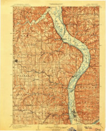
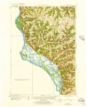
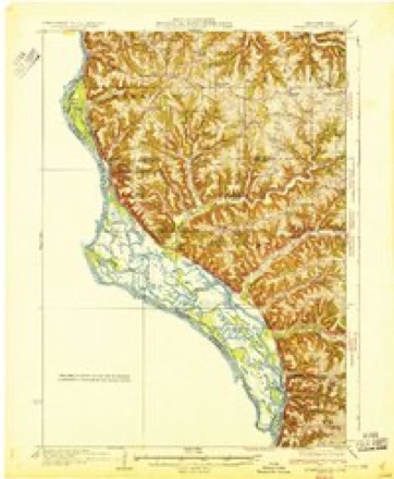
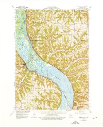
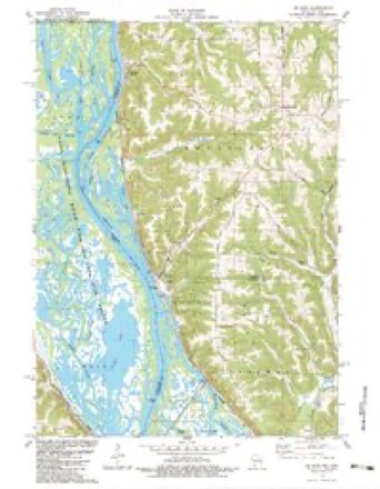
18 topographic sheets cover this place, the earliest surveyed in 1903 and the latest in 1985. It lies in ZIP code area 54624. It lies near Lawrence Hill. The Survey maps it on the De Soto quadrangle. 309 people lived here at the 2020 count. It stands 653 feet above sea level.
Topographic sheets covering this place
10 surveys from 18 printed sheetsMatched by testing this settlement's coordinate against the published boundary of every sheet in the United States Geological Survey's historical collection. Each opens the scanned sheet at the Survey.
- 1903 USGS Waukon quadrangle1:125000, 5 printings
- 1929 USGS Ferryville quadrangle1:62500, 2 printings
- 1932 USGS Ferryville quadrangle1:62500
- 1958 USGS La Crosse quadrangle1:250000, 2 printings
- 1961 USGS La Crosse quadrangle1:250000
- 1965 USGS La Crosse quadrangle1:250000
- 1966 USGS Ferryville quadrangle1:62500, 2 printings
- 1976 USGS La Crosse quadrangle1:250000
- 1983 USGS De Soto quadrangle1:24000
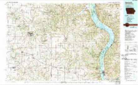
- 1985 USGS Decorah quadrangle1:100000, 2 printings




Fires near this place
15 since 1998Regional context, not property-specific evidence. The federal wildfire occurrence database lists 15 fires within 5 miles of De Soto between 1998 and 2020, burning about 23 acres in total. None started naturally. None was recorded as arson. Distance is straight-line from the map coordinates, so a fire counted here may appear on a neighbouring settlement's page as well.
| Reported cause | Fires |
|---|---|
| Debris and open burning | 8 |
| Missing data/not specified/undetermined | 5 |
| Smoking | 1 |
| Recreation and ceremony | 1 |
The most recent of them, most recent first, with the day each was reported and the service that recorded it.
| Date | Cause | Size | Reported by | Name on the report |
|---|---|---|---|---|
| 12 May 2008 | Recreation and ceremony | under an acre | Wisconsin Department of Natural Resources | not named |
| 7 April 2004 | Debris and open burning | 6.0 acres | Wisconsin Department of Natural Resources | not named |
| 5 April 2020 | Debris and open burning | under an acre | Wisconsin Department of Natural Resources | 232020 |
| 24 April 2018 | Missing data/not specified/undetermined | 2.0 acres | Iowa Department of Natural Resources | not named |
| 24 April 2018 | Missing data/not specified/undetermined | 1.8 acres | Wisconsin Department of Natural Resources | COLOMBUS FIRE |
| 24 April 2018 | Debris and open burning | under an acre | Wisconsin Department of Natural Resources | DESOTO FIRE |
| 23 April 2018 | Missing data/not specified/undetermined | under an acre | Wisconsin Department of Natural Resources | HOWATH RD |
| 21 April 2010 | Missing data/not specified/undetermined | 8.0 acres | Iowa Department of Natural Resources | LEO GARIN, 1763 WHALEN HILL RD, LANSING, IOWA |
Mines and quarries near this place
4 within 5 milesRegional context, not property-specific evidence. The federal mineral resources record lists 4 workings within 5 miles of De Soto: 1 occurrence, 1 producer, 1 past producer, 1 unknown. 1 still produces. What was taken out: Stone, Crushed/Broken, Lead, Stone. Distance is straight-line from the map coordinates, so a quarry counted here may appear on a neighbouring settlement's page as well.
| Where | Site | Commodity | Status | Recorded |
|---|---|---|---|---|
| Kraemer Quarry | Stone | Unknown | ||
| Prospects Near Lansing | Lead | Occurrence | Galena | |
| Everson Quarry | Stone, Crushed/Broken | Producer | ||
| Hjelle Quarry | Stone, Crushed/Broken | Past Producer |
Storms near this place
18 since 2002Regional context, not property-specific evidence. The National Weather Service names De Soto in 18 storm reports between 2002 and 2024: 7 flash flood, 4 heavy rain, 3 hail, 3 flood. No death or injury is recorded in these reports. Each account below is quoted exactly as the forecast office filed it, from the NOAA Storm Events Database, and each date opens the federal record of that event.
| When | Event | Place named | Harm | What the report says |
|---|---|---|---|---|
| August 2007 | Flash Flood | De Soto | $20,000,000 | Flash flooding and mudslides were reported over mainly the northern half of the county. Hardest hit areas were in the steep terrain and along Highway 35 from Lynxville to De Soto. Some roads were closed due to flood waters and in one case a large boulder fell on to Highway 35.||In Crawford County, about 415 people applied for FEMA assistance. |
| September 2016 | Flash Flood | De Soto | $5,300,000 | A train derailment occurred near Ferryville when flood waters washed out the roadbed. Around 1,000 gallons of diesel fuel leaked out of one locomotive into the water. Runoff from heavy rains also washed out a portion of State Highway 35 south of Lynxville. A mudslide covered a portion of State Highways 35/82 south of De Soto. A mudslide northeast of Wauzeka sent a large boulder onto State Highway 60. State Highway 35 was closed between De Soto and Prairie du Chien due to flooding and mudslides. Roads were damaged across much of the county with the most damage occurring in the townships of Freeman, Utica, Clayton and Haney. Freeman was hit the hardest with every township road sustaining major damage. A large portion of Rush Creek Road north of Ferryville was washed out. The flooding also caused a large hole to form in State Highway 171 near Gays Mills. Two private structures were destroyed and another 67 damaged by the flooding. |
| June 2008 | Flash Flood | De Soto | $320,000 | Flash flooding was reported in many of the steep valleys with creeks rising rapidly and water over some roads. Mudslides began along Highway 35 in far western ends of the county. |
| June 2008 | Flood | De Soto | $100,000 | Sandbagging was being done in Steuben. Flooding was reported on numerous township roads. There were numerous rock and mud slides on Highways 35 and 60. |
| May 2017 | Flood | De Soto | $50,000 | One person drowned when he unknowingly drove his vehicle into a section of washed out road south of De Soto. Persistent high flows along the Mississippi River caused a portion of State Highway 82 to wash out. |
| June 2024 | Flash Flood | De Soto | $25,000 | The public reported mudslides along Highway 35 near Lansing Bridge or Highway 82. Other mudslides were reported in the region as well. |
| June 2024 | Flash Flood | De Soto | $20,000 | The public reported Lawrence Hill Road was washed out. |
| September 2024 | Hail | De Soto | $12,000 | A CO-OP observer reported golf ball sized hail 1 mile southeast of De Soto. |
| September 2016 | Flash Flood | De Soto | $3,000 | Debris and rocks from a landslide hit a car at State Highways 35 and 82 south of De Soto. |
| September 2016 | Flash Flood | De Soto | $1,000 | A mudslide in De Soto sent debris over one lane of State Highway 82. |
| September 2024 | Hail | De Soto | - | A trained spotter reported dime to quarter sized hail in De Soto. |
| July 2017 | Thunderstorm Wind | De Soto | - | An estimated 60 mph wind gust occurred just south of De Soto. |
| September 2016 | Heavy Rain | De Soto | - | In Victory, 5.10 inches of rain fell. |
| September 2016 | Flood | De Soto | - | Flooding continued across much of Crawford County with numerous roads remaining closed from the 22nd into the 26th. |
| December 2015 | Heavy Rain | De Soto | - | A total of 4.23 inches of rain fell. Other totals in the county included 3.65 inches near Steuben and 3.50 inches near Gays Mills. |
| June 2013 | Heavy Rain | De Soto | - | The COOP observer near De Soto reported 3.62 inches of rain. |
| April 2013 | Heavy Rain | De Soto | - | The COOP observer in DeSoto reported 2.6 inches of rain. |
| April 2002 | Hail | De Soto | - | no account filed |
Nearest settlements
The eight closest, with where each one stands in the county. Distances are straight-line, computed from the Geographic Names Information System coordinates.
| Map | Place | Distance | Sheets |
|---|---|---|---|
| Ferryville | 7.2 miles | 18 | |
| Reed | 9.1 miles | 18 | |
| Rising Sun | 12.8 miles | 10 | |
| Fairview | 14.1 miles | 10 | |
| Lynxville | 14.3 miles | 19 | |
| Mount Sterling | 16.1 miles | 10 | |
| Towerville | 16.5 miles | 10 | |
| Seneca | 16.8 miles | 10 |
Elsewhere
Matched on this settlement's Geographic Names Information System number rather than its name, so it cannot be a different place of the same name in another state.
| Wikipedia article on De Soto | An encyclopaedic summary. Its text is share-alike, so it is linked here rather than copied. |
| Wikidata item Q2417261 | The structured record the population and elevation above come from. Public domain (CC0). |
Provenance
This settlement is recorded in the Geographic Names Information System as feature 1563761. The sheet list is computed by point-in-boundary test against the United States Geological Survey's historical topographic inventory. Both are works of the United States government and carry no copyright under 17 U.S.C. 105.
Wildfire. Short, Karen C. 2022. Spatial wildfire occurrence data for the United States, 1992-2020 [FPA_FOD_20221014]. 6th Edition. Fort Collins, CO: Forest Service Research Data Archive. https://doi.org/10.2737/RDS-2013-0009.6 Collected with United States Government funding and usable without additional permissions or fees.
Mines and quarries. USGS Mineral Resources Data System (MRDS) https://mrdata.usgs.gov/mrds/ A work of the United States government, no copyright under 17 U.S.C. 105.
Storms. NOAA National Centers for Environmental Information, Storm Events Database https://www.ncei.noaa.gov/stormevents/ A work of the United States government, no copyright under 17 U.S.C. 105. Narratives are quoted verbatim from the National Weather Service report and are not edited or summarised.