 Block
Gratiot, Wisconsin
12 topographic sheets cover this place, the earliest surveyed in 1902 and the latest in 1984. It stands in Gratiot town. It lies in ZIP code area 53541. It stands on Trout Brook. The Survey maps it on the Apple River quadrangle. 224 people lived here at the 2020 count. It stands 823 feet above sea level.
Population over time
2 figuresGratiot fell from 236 to 224 between 2010 and 2020. These are the recorded population figures Wikidata holds for this place, reached through the Geographic Names Information System number this page is keyed on rather than by name, so they belong to this place and not to another of the same name. Most are census counts, but not all are: an early figure may be a founding or settlement estimate, and an estimate published within five years of a census is left out. The change column is computed, and is left blank where more than 20 years separate a figure from the one before it, because a gap that long is not a change between two counts.
| Year | People | Change |
|---|---|---|
| 2010 | 236 | |
| 2020 | 224 | -12 (-5%) |
Topographic sheets covering this place
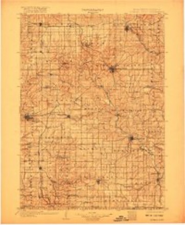
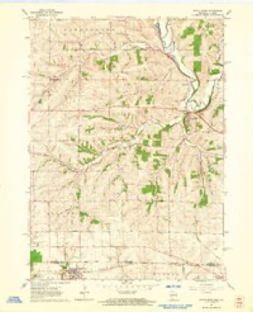
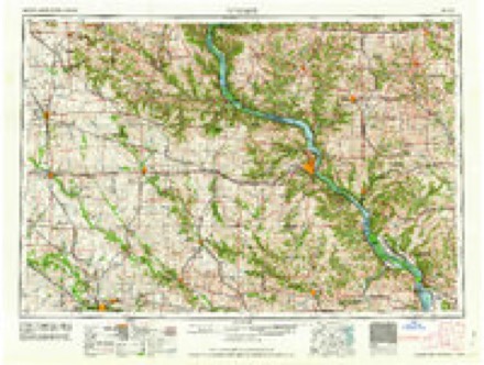
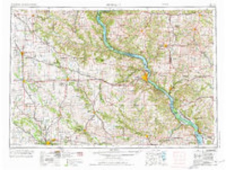
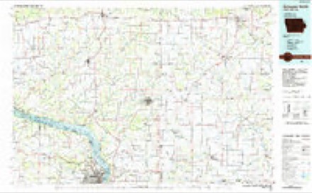
7 surveys from 12 printed sheetsMatched by testing this settlement's coordinate against the published boundary of every sheet in the United States Geological Survey's historical collection. Each opens the scanned sheet at the Survey.
- 1902 USGS Mineral Point quadrangle1:125000, 4 printings
- 1959 USGS Dubuque quadrangle1:250000
- 1961 USGS Dubuque quadrangle1:250000
- 1962 USGS Apple River quadrangle1:24000
- 1962 USGS Dubuque quadrangle1:250000, 2 printings
- 1976 USGS Dubuque quadrangle1:250000
- 1984 USGS Dubuque North quadrangle1:100000, 2 printings
In the county-history sources
28,387 words on this townshipHistory of Lafayette County, Wisconsin, Containing an Account of Its Settlement, Growth, Development and Resources; an Extensive and Minute Sketch of Its Cities, Towns and Villages ... Its War Record, Biographical Sketches ... the Whole Preceded by a History of Wisconsin, Statistics of the State, and an Abstract of Its Laws and Constitution, and of the Constitution of the United States, published 1881 names this settlement in its chapter on Gratiot Town. These are the passages that mention it, exactly as the scans read.
S. W. liEIIONT, Postmaster and dealer in general stock, Gratiot; born in Maine, in 1845; came to Wisconsin, in 1855, and engaged in farming with his father ; enlisted 1862, in the 22d W. V. I.; discharged in 1863; re-enlisted in 1864, and was discharged in 1806; owns town property. His wife, Marion Lutter, was born at Wiota, in 1849; they were married in 1873, and have hud three children - Maud, born Aug. 18, 1874; Agnes, born Nov. 20, 1876; Sarah, born April 13, 1880. In politics, Republican ; in religion, Disciple ; his wife is a United Brethren. He has been Town Clerk of Wiota and of Gratiot. After the war he attended the Normal School at Platteville, and then engaged as teacher.
H. O. l^USS, manufacturer of boots and shoes, Gratiot; born in Christiania, Norway, Jan. 20, 1840 ; came to America in 1867, and to Monroe, Wis., and remained there with his uncle a short time ; then to Jordan, then to Blue Mound ; remained there about eight months; then to Warren, and remained there about two years at work for Thornton & Parker ; then to Gratiot ; worked for John Bakken ; then returned to Norway and remained eight months ; then returned to Gratiot and bought property and went into business for himself. In religion, Lutheran ; in politics. Republican. His mother resides with his sister, Mrs. Kelly, of Gratiot.
PETJER PAUIiSOlV, manufacturer of boots and shoes, Riverside; P. 0. Gratiot; born in Norway, April 1, 1844 ; came to America in 1872, and was in Chicago one year and a half working at his trade, and then a short time in the foundry ; he came to Wisconsin, in 1873, to Wiota, and worked at his trade, then went to Warren, 111. ; then to Riverside in 1875. His wife, Julia Gilbertson, was born in Norway in 1853 ; came to America in 1870 ; was married in 1875 ; they have had three children - Gilbert, born Feb. 11, 1876 ; Paulina, born Feb. 25, 1878 ; Revart, born May 26, 1880. In pdlitics, Republican; in religion, Lutheran.
Machine-read from a century-old scan, so expect the errors a machine makes: misspelled names, dropped words, stray characters.
Read the whole chapter on Gratiot Town - it names this place 25 more 25 times.
Fires near this place
3 since 2019Regional context, not property-specific evidence. The federal wildfire occurrence database lists 3 fires within 5 miles of Gratiot between 2019 and 2020, burning about 5 acres in total. None started naturally. None was recorded as arson. Distance is straight-line from the map coordinates, so a fire counted here may appear on a neighbouring settlement's page as well.
| Reported cause | Fires |
|---|---|
| Debris and open burning | 2 |
| Missing data/not specified/undetermined | 1 |
The most recent of them, most recent first, with the day each was reported and the service that recorded it.
| Date | Cause | Size | Reported by | Name on the report |
|---|---|---|---|---|
| 24 April 2019 | Debris and open burning | under an acre | Wisconsin Department of Natural Resources | 2019010 |
| 19 April 2019 | Debris and open burning | under an acre | Wisconsin Department of Natural Resources | 2019009 |
| 3 November 2020 | Missing data/not specified/undetermined | 5.0 acres | Wisconsin Department of Natural Resources | 20062 |
Settlements close enough to share some of these fires:
Mines and quarries near this place
8 within 5 milesRegional context, not property-specific evidence. The federal mineral resources record lists 8 workings within 5 miles of Gratiot: 4 occurrences, 2 past producers, 1 unknown, 1 producer. 1 still produces. What was taken out: Copper, Stone, Crushed/Broken, Stone, Sand and Gravel, Construction. Distance is straight-line from the map coordinates, so a quarry counted here may appear on a neighbouring settlement's page as well.
| Where | Site | Commodity | Status | Recorded |
|---|---|---|---|---|
| Opie Quarry | Stone | Unknown | ||
| Tiffany Pit | Sand and Gravel, Construction | Producer | ||
| Appell Quarry | Stone, Crushed/Broken | Past Producer | ||
| Oppie Quarry | Stone, Crushed/Broken | Past Producer | ||
| Unnamed Prospect Along Copper Cre | Copper | Occurrence | ||
| Unnamed Prospect Along Copper Cre | Copper | Occurrence | ||
| Unnamed Prospect Along Pecatonica | Copper | Occurrence | ||
| Unnamed Prospect Along Pecatonica | Copper | Occurrence |
Storms near this place
18 since 1997Regional context, not property-specific evidence. The National Weather Service names Gratiot in 18 storm reports between 1997 and 2024: 12 thunderstorm wind, 4 hail, 2 tornado. The reports record 1 injury. Each account below is quoted exactly as the forecast office filed it, from the NOAA Storm Events Database, and each date opens the federal record of that event.
| When | Event | Place named | Harm | What the report says |
|---|---|---|---|---|
| July 2018 | Thunderstorm Wind | Gratiot | 1 hurt, $200,000 | Downburst winds of 80 mph rolled and damaged 10 large campers. Nearby corn was flattened. |
| April 1997 | Thunderstorm Wind | Gratiot | $100,000 | no account filed |
| July 2018 | Thunderstorm Wind | Gratiot | $30,000 | Much of the roof of a large barn collapsed. |
| June 2010 | Tornado (EF1) | Gratiot | $15,000 | An EF1 tornado developed in a rural area about 4.5 miles southeast of Darlington about 1/2 mile southwest of the intersection of Walnut Road and Pecatonica Road. The tornado moved east-northeast for about 2.2 miles, and dissipated about 0.4 miles north of the intersection of Walnut Road and Tish Road. Tornadic damage was sporadic in the second-half of the tornado's life. One residence experienced siding and window damage. An outbuilding used as a garage on a farmstead lost its metal roof. One large hardwood tree was blown down and other tree limbs were broken. Minor crop damage was noted, but loss estimates were not available. The exact start location was Lat 42.63352 Lon. -90.04077. The exact end location was Lat. 42.64554 Lon. -90.00035. The EF-rating was based on DI 1 (SBO), DOD 5 which suggests wind speeds between 90 and 95 mph. Average path width was 50 yards. |
| July 2000 | Thunderstorm Wind | Gratiot | $15,000 | no account filed |
| May 2024 | Thunderstorm Wind | Gratiot | $7,000 | Straight-line winds caused damage to a farmstead. There were large tree limbs down and some roofing material to an old farm outbuilding removed. |
| May 2000 | Hail | Gratiot | $5,000 | no account filed |
| June 1997 | Thunderstorm Wind | Gratiot | $1,000 | no account filed |
| July 2021 | Thunderstorm Wind | Gratiot | - | A few trees downed trees. |
| July 2012 | Thunderstorm Wind | Gratiot | - | Law enforcement officials reported trees and power lines were blown down in a swath from Gratiot to South Wayne by severe thunderstorm wind gusts estimated at 56 knots (64 mph). |
| July 2009 | Tornado (EF0) | Gratiot | - | A NWS storm survey team found evidence of a brief tornado about 2 miles northeast of the Village of Gratiot on a farm just southwest of the intersection of STH 78 and West Chruch Rd. It moved east-southeast on a 95 degree bearing and dissipated on STH 78. Damage was limited mainly to trees (uprooted or branches snapped). The beginning/ending GPS coordinates were 41.60841/-89.99102 and 42.60773/-89.98941 with a damage indicator of DI 27 (TH), DOD 3. The winds were estimated at about 80 mph, and the average path width about 15 yards. |
| June 2008 | Thunderstorm Wind | Gratiot | - | Powerful thunderstorms winds knocked down large trees. |
| February 2024 | Hail | Gratiot | - | no account filed |
| April 2020 | Hail | Gratiot | - | no account filed |
| April 2011 | Hail | Gratiot | - | no account filed |
| August 2004 | Thunderstorm Wind | Gratiot | - | no account filed |
| April 2002 | Thunderstorm Wind | Gratiot | - | no account filed |
| August 2002 | Thunderstorm Wind | Gratiot | - | no account filed |
Nearest settlements
The eight closest, with where each one stands in the county. Distances are straight-line, computed from the Geographic Names Information System coordinates.
| Map | Place | Distance | Sheets |
|---|---|---|---|
| Riverside | 1.0 miles | 12 | |
| Red Rock | 4.6 miles | 12 | |
| Wiota | 5.4 miles | 14 | |
| Dunbarton | 6.0 miles | 13 | |
| South Wayne | 7.6 miles | 13 | |
| Avon | 8.2 miles | 12 | |
| Darlington | 8.8 miles | 12 | |
| Lamont | 8.9 miles | 14 |
Elsewhere
Matched on this settlement's Geographic Names Information System number rather than its name, so it cannot be a different place of the same name in another state.
| Wikipedia article on Gratiot | An encyclopaedic summary. Its text is share-alike, so it is linked here rather than copied. |
| Wikidata item Q1887230 | The structured record the population and elevation above come from. Public domain (CC0). |
Provenance
This settlement is recorded in the Geographic Names Information System as feature 1565778. The sheet list is computed by point-in-boundary test against the United States Geological Survey's historical topographic inventory. Both are works of the United States government and carry no copyright under 17 U.S.C. 105.
Wildfire. Short, Karen C. 2022. Spatial wildfire occurrence data for the United States, 1992-2020 [FPA_FOD_20221014]. 6th Edition. Fort Collins, CO: Forest Service Research Data Archive. https://doi.org/10.2737/RDS-2013-0009.6 Collected with United States Government funding and usable without additional permissions or fees.
Mines and quarries. USGS Mineral Resources Data System (MRDS) https://mrdata.usgs.gov/mrds/ A work of the United States government, no copyright under 17 U.S.C. 105.
Storms. NOAA National Centers for Environmental Information, Storm Events Database https://www.ncei.noaa.gov/stormevents/ A work of the United States government, no copyright under 17 U.S.C. 105. Narratives are quoted verbatim from the National Weather Service report and are not edited or summarised.