 Block
Greenwood, Wisconsin
11 topographic sheets cover this place, the earliest surveyed in 1953 and the latest in 1984. It stands in Greenwood City. It lies in ZIP code area 54437. It stands on Rock Creek. The Survey maps it on the Greenwood quadrangle. 1,058 people lived here at the 2020 count. It stands 1,181 feet above sea level.
On record in Greenwood
Buildings and businesses the archive holds for this place. Each opens its own page, with the source record it came from.
On the National Register 1 record
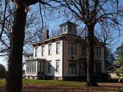 Robert Schofield Houselisted 1982
Population over time
2 figuresGreenwood grew from 1,026 to 1,058 between 2010 and 2020. These are the recorded population figures Wikidata holds for this place, reached through the Geographic Names Information System number this page is keyed on rather than by name, so they belong to this place and not to another of the same name. Most are census counts, but not all are: an early figure may be a founding or settlement estimate, and an estimate published within five years of a census is left out. The change column is computed, and is left blank where more than 20 years separate a figure from the one before it, because a gap that long is not a change between two counts.
| Year | People | Change |
|---|---|---|
| 2010 | 1,026 | |
| 2020 | 1,058 | +32 (+3%) |
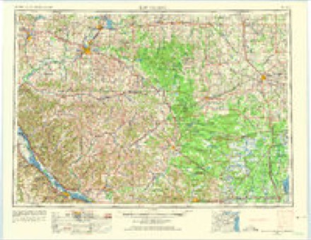
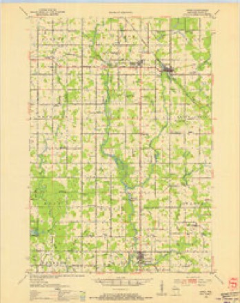
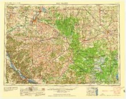
Topographic sheets covering this place
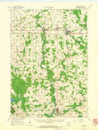
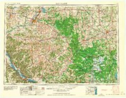
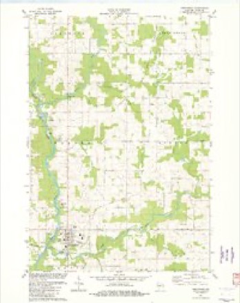
7 surveys from 11 printed sheetsMatched by testing this settlement's coordinate against the published boundary of every sheet in the United States Geological Survey's historical collection. Each opens the scanned sheet at the Survey.
- 1953 USGS Eau Claire quadrangle1:250000, 4 printings
- 1953 USGS Owen quadrangle1:48000
- 1958 USGS Eau Claire quadrangle1:250000
- 1963 USGS Owen quadrangle1:62500
- 1964 USGS Eau Claire quadrangle1:250000
- 1982 USGS Greenwood quadrangle1:24000
- 1984 USGS Marshfield quadrangle1:100000, 2 printings
In the county-history sources
1,795 words on this townshipHistory of Clark County Wisconsin, published 1918 names this settlement in its chapter on Greenwood City. These are the passages that mention it, exactly as the scans read.
Greenwood, situated not far from the geographical center of the county, is platted on a rise of ground, at the junction of the Black River and Rock Creek. Its pretty artificial lake, its sightly business houses and residences, its high water tower, its gently undulating adjacent farm lands, and its miles of good roads radiating in many directions, all tend to add to its beauty and charm, while its two railroads - the Fairchild & Northwestern and the Minneapolis, St. Paul and Sault Ste. Marie, better known as the "Soo" - add to its importance as a trading and shipping center. Its principal shipments are dairy products.
Passage source: History of Clark County Wisconsin, published 1918.
In 1870, Chandler & Brown, from Black River Falls, opened the first regular store, and the same year, W. H. Begley opened a hotel. Begley operated the stage coach from Black River Falls, and employed Jesse Crane as his first driver. On this stage line, two and a half miles south of Greenwood, Henry Huntzicker had a log tavern. A half mile further south, George H. Huntzicker had a log cabin. Between the two, but across the road, Jacob Huntzicker had his home. In 1875, George H. Huntzicker erected a larger tavern, which he operated until the late eighties.
Passage source: History of Clark County Wisconsin, published 1918.
The village of Greenwood was platted June 6, 1871, by William Welsh. He was assisted by Charles Hogue, Oscar Nutting and Frank Brown. The name was given by Mary Honeywell, later Mrs. Smith Honeywell, as befitting the beauty of the natural surroundings. It was replatted Aug. 16, 1895, by William B. Agnew for some sixty owners.
Passage source: History of Clark County Wisconsin, published 1918.
Machine-read from a century-old scan, so expect the errors a machine makes: misspelled names, dropped words, stray characters.
Read the whole chapter on Greenwood City - it names this place 7 more 7 times.
Fires near this place
5 since 2000Regional context, not property-specific evidence. The federal wildfire occurrence database lists 5 fires within 5 miles of Greenwood between 2000 and 2018, burning about 6 acres in total. None started naturally. None was recorded as arson. Distance is straight-line from the map coordinates, so a fire counted here may appear on a neighbouring settlement's page as well.
| Reported cause | Fires |
|---|---|
| Missing data/not specified/undetermined | 2 |
| Recreation and ceremony | 1 |
| Debris and open burning | 1 |
| Power generation/transmission/distribution | 1 |
The most recent of them, most recent first, with the day each was reported and the service that recorded it.
| Date | Cause | Size | Reported by | Name on the report |
|---|---|---|---|---|
| 9 July 2015 | Missing data/not specified/undetermined | under an acre | Wisconsin Department of Natural Resources | RESEWOOD FIRE |
| 12 July 2018 | Power generation/transmission/distribution | under an acre | Wisconsin Department of Natural Resources | 22 |
| 8 May 2008 | Missing data/not specified/undetermined | under an acre | Wisconsin Department of Natural Resources | not named |
| 4 November 2000 | Debris and open burning | 1.0 acres | Wisconsin Department of Natural Resources | not named |
| 29 October 2008 | Recreation and ceremony | 3.6 acres | Wisconsin Department of Natural Resources | not named |
Settlements close enough to share some of these fires:
Mines and quarries near this place
2 within 5 milesRegional context, not property-specific evidence. The federal mineral resources record lists 2 workings within 5 miles of Greenwood: 1 past producer, 1 producer. 1 still produces. What was taken out: Sand and Gravel, Construction. Distance is straight-line from the map coordinates, so a quarry counted here may appear on a neighbouring settlement's page as well.
| Where | Site | Commodity | Status | Recorded |
|---|---|---|---|---|
| Greenwood Pit | Sand and Gravel, Construction | Producer | ||
| Schuering Pit | Sand and Gravel, Construction | Past Producer |
Storms near this place
25 since 1995Regional context, not property-specific evidence. The National Weather Service names Greenwood in 25 storm reports between 1995 and 2024: 11 thunderstorm wind, 9 hail, 2 flash flood, 2 tornado. No death or injury is recorded in these reports. Each account below is quoted exactly as the forecast office filed it, from the NOAA Storm Events Database, and each date opens the federal record of that event.
| When | Event | Place named | Harm | What the report says |
|---|---|---|---|---|
| September 2015 | Flash Flood | Greenwood | $1,100,000 | Flood waters from the Black River covered County Road G just west of Greenwood. Waters flowing through a drainage ditch undercut Chickadee Road near Gorman Avenue southwest of Willard. County Highway M was closed north of County Highway I when a culvert was washed out. This is the second time in three years that this section of County M has been washed out. County Highway B was undermined by water west of Humbird. The flood waters also prompted the closing of the county's ATV and horse trails. The flood waters damaged the dam at Emerson Lake with repairs estimated to cost almost a quarter of a million dollars. Highway damage along was estimated at $536,200. |
| December 2021 | Tornado (EF1) | Greenwood | $160,000 | This EF1 tornado formed west of Greenwood near the intersection of County Highways G and O. The tornado was only on the ground for about a mile but caused extensive damage to two farms. A barn roof was removed, a pole shed destroyed, power pole snapped and roof damage to an outbuilding. |
| December 2021 | Thunderstorm Wind | Greenwood | $50,000 | A large tree was blown on to a business in Greenwood. Branches from the tree went through parts of the roof and the owner was temporarily trapped inside the business when the exit was blocked. |
| June 2024 | Tornado (EF0) | Greenwood | $20,000 | A very brief EF-0 tornado touched down damaging outbuildings and a barn south of Greenwood. |
| December 2021 | Thunderstorm Wind | Greenwood | $10,000 | A farm outbuilding was damaged near Greenwood. |
| September 2019 | Thunderstorm Wind | Greenwood | $5,000 | Trees and power lines were blown down in Greenwood. |
| September 2018 | Thunderstorm Wind | Greenwood | $2,000 | Trees were blown down near Greenwood. |
| September 2018 | Thunderstorm Wind | Greenwood | $2,000 | Trees were blown down along State Highway 73 north of Greenwood. |
| June 2018 | Thunderstorm Wind | Greenwood | $2,000 | Trees were snapped off in Greenwood. |
| September 2012 | Thunderstorm Wind | Greenwood | $1,000 | Trees were blown down near the Post Office in Greenwood. |
| September 2000 | Thunderstorm Wind | Greenwood | $500 | no account filed |
| August 2010 | Thunderstorm Wind | Greenwood | $250 | Trees were blown as thunderstorms passed, which blocked County Road MM. |
| July 2024 | Flash Flood | Greenwood | - | Local officials reported water flowing over County Road O near Greenwood. |
| July 2023 | Hail | Greenwood | - | Broadcast media reported penny sized hail near Greenwood. |
| July 2011 | Funnel Cloud | Greenwood | - | Spotted near County Road MM west of Greenwood from a distance. |
| July 2008 | Hail | Greenwood | - | no account filed |
| April 2006 | Hail | Greenwood | - | no account filed |
| June 2006 | Thunderstorm Wind | Greenwood | - | no account filed |
| August 2006 | Hail | Greenwood | - | no account filed |
| April 2002 | Hail | Greenwood | - | no account filed |
| September 2000 | Hail | Greenwood | - | no account filed |
| August 2000 | Thunderstorm Wind | Greenwood | - | no account filed |
| May 1998 | Hail | Greenwood | - | no account filed |
| May 1998 | Hail | Greenwood | - | no account filed |
| August 1995 | Hail | Greenwood | - | no account filed |
Nearest settlements
The eight closest, with where each one stands in the county. Distances are straight-line, computed from the Geographic Names Information System coordinates.
Elsewhere
Matched on this settlement's Geographic Names Information System number rather than its name, so it cannot be a different place of the same name in another state.
| Wikipedia article on Greenwood | An encyclopaedic summary. Its text is share-alike, so it is linked here rather than copied. |
| Wikidata item Q1570368 | The structured record the population and elevation above come from. Public domain (CC0). |
Provenance
This settlement is recorded in the Geographic Names Information System as feature 1565856. The sheet list is computed by point-in-boundary test against the United States Geological Survey's historical topographic inventory. Both are works of the United States government and carry no copyright under 17 U.S.C. 105.
Wildfire. Short, Karen C. 2022. Spatial wildfire occurrence data for the United States, 1992-2020 [FPA_FOD_20221014]. 6th Edition. Fort Collins, CO: Forest Service Research Data Archive. https://doi.org/10.2737/RDS-2013-0009.6 Collected with United States Government funding and usable without additional permissions or fees.
Mines and quarries. USGS Mineral Resources Data System (MRDS) https://mrdata.usgs.gov/mrds/ A work of the United States government, no copyright under 17 U.S.C. 105.
Storms. NOAA National Centers for Environmental Information, Storm Events Database https://www.ncei.noaa.gov/stormevents/ A work of the United States government, no copyright under 17 U.S.C. 105. Narratives are quoted verbatim from the National Weather Service report and are not edited or summarised.