 Block
Honey Creek, Wisconsin
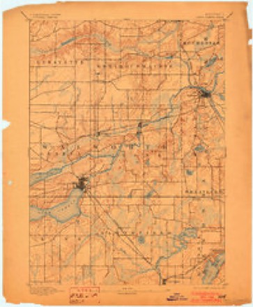
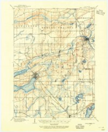
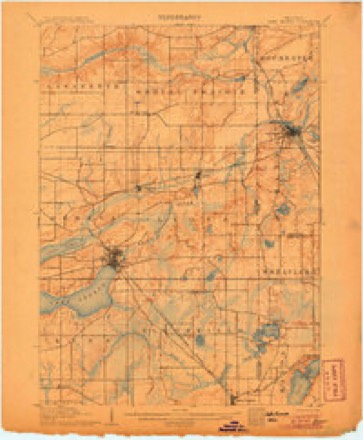
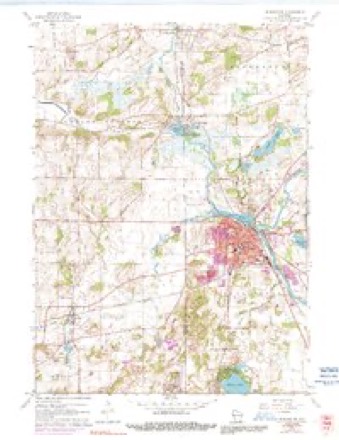
19 topographic sheets cover this place, the earliest surveyed in 1893 and the latest in 1980. It stands in Spring Prairie town. It lies in ZIP code area 53105. The Survey maps it on the Burlington quadrangle. It stands 807 feet above sea level.
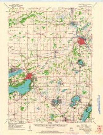
Topographic sheets covering this place
10 surveys from 19 printed sheetsMatched by testing this settlement's coordinate against the published boundary of every sheet in the United States Geological Survey's historical collection. Each opens the scanned sheet at the Survey.
- 1893 USGS Geneva quadrangle1:62500, 2 printings
- 1904 USGS Lake Geneva quadrangle1:62500
- 1906 USGS Lake Geneva quadrangle1:62500, 4 printings
- 1954 USGS Rockford quadrangle1:250000
- 1955 USGS Rockford quadrangle1:250000
- 1958 USGS Rockford quadrangle1:250000, 4 printings
- 1960 USGS Burlington quadrangle1:24000, 3 printings
- 1960 USGS Lake Geneva quadrangle1:62500
- 1963 USGS Rockford quadrangle1:250000
- 1980 USGS Lake Geneva quadrangle1:100000





In the county-history sources
5,113 words on this townshipHistory of Walworth County, Wisconsin .., published 1912 names this settlement in its chapter on Spring Prairie Town. These are the passages that mention it, exactly as the scans read.
First settlers found about three-fourths of the township more or less wooded - forests and openings. Spring prairie, in the southwestern part, and Gardners prairie, in the southeastern quarter, have each from fifteen hundred to two thousand acres of natural garden. A smaller meadow, a half section or more in area, lies near Honey Creek, in the northeast. Sugar creek enters at section 7, crosses a little south of east and meets Honey creek near the county line at the southeast corner of section 13. The latter comes out of East Troy and runs nearly due southward through sections 1. 12 and 13. Spring brook, entering at section 19, meets Sugar creek near the town center. Marsh creek begins in section 10. and by way of section 1 1 reaches Honey creek in section 12. White river winds a few miles in section 36 and escapes into Racine county by way of the southeast corner of section 25. The southern sections are drained by small southward-flowing branches of the White. These larger streams were in earlier days made useful for driving saw-mills and grist-mills. For a few miles along Sugar creek, on each side, the ground rises to parallel ridges which give the highway from Spring Prairie village to East Troy almost a down-eastern ruggedness of profile Limestone crops out in some of the valleys, more noticeably in sections 16 and 36. though quarries have been worked but superficially and for local use. This is presumptively of the Niagara formation. Elevations above sea-level, at ten points of observation, vary between ju<< and 979 feet - the lowest in sections 36. the highest in section 5. The average height in sections 7 and 8 is 918 feet.
Passage source: History of Walworth County, Wisconsin .., published 1912.
Benjamin Haight died in 1866. His first wife was Alma Beach. Genealogists find Haight and Hoyt descended from the same remote ancestors, but there was no known kinship between Mr. Haight and the Hoyts at Honey Creek.
Passage source: History of Walworth County, Wisconsin .., published 1912.
Benjamin Hoyt 1 1778-1860) was son of Joseph Hoyt and Abigail. daughter of Samuel and Mary Flanders. Older father ancestors were 1, John; 2, Thomas; 3. Benjamin; 4, Enoch. In 1807 he married Susan Hayes, who died in 1862. leaving seven children. Of these, not before named here. Simon Batchelder Hoyt (1811-1861) married Elizabeth D. Cady, at Honey Creek. Benjamin Hoyt, Jr. (born 1829), married, first, Sarah Robinson: second, Alvira Kellev. The elder Hoyt was born in Deerfield, New Hampshire: his children were born at Cabot, Vermont. From their third American ancestors. Benjamin Hoyt and Hannah Pillsburg, were also descended tin- Hoyl 1 if Allen Grove.
Passage source: History of Walworth County, Wisconsin .., published 1912.
Machine-read from a century-old scan, so expect the errors a machine makes: misspelled names, dropped words, stray characters.
Read the whole chapter on Spring Prairie Town - it names this place 2 more 2 times.
Fires near this place
13 since 2018Regional context, not property-specific evidence. The federal wildfire occurrence database lists 13 fires within 5 miles of Honey Creek between 2018 and 2020, burning about 56 acres in total. 1 started naturally. 2 were recorded as arson. Distance is straight-line from the map coordinates, so a fire counted here may appear on a neighbouring settlement's page as well.
| Reported cause | Fires |
|---|---|
| Missing data/not specified/undetermined | 5 |
| Debris and open burning | 4 |
| Arson/incendiarism | 2 |
| Natural | 1 |
| Recreation and ceremony | 1 |
The most recent of them, most recent first, with the day each was reported and the service that recorded it.
| Date | Cause | Size | Reported by | Name on the report |
|---|---|---|---|---|
| 26 August 2018 | Natural | 1.0 acres | Wisconsin Department of Natural Resources | 217 |
| 4 May 2018 | Missing data/not specified/undetermined | under an acre | Wisconsin Department of Natural Resources | 97 |
| 7 April 2018 | Missing data/not specified/undetermined | under an acre | Wisconsin Department of Natural Resources | 67 |
| 20 April 2019 | Debris and open burning | 42 acres | Wisconsin Department of Natural Resources | TICHIGAN |
| 19 April 2020 | Recreation and ceremony | under an acre | Wisconsin Department of Natural Resources | 20032 |
| 13 April 2019 | Debris and open burning | under an acre | Wisconsin Department of Natural Resources | 1900076 |
| 31 March 2019 | Arson/incendiarism | 2.0 acres | Wisconsin Department of Natural Resources | 105 |
| 23 March 2018 | Missing data/not specified/undetermined | 8.0 acres | Wisconsin Department of Natural Resources | 63 |
Settlements close enough to share some of these fires:
Mines and quarries near this place
6 within 5 milesRegional context, not property-specific evidence. The federal mineral resources record lists 6 workings within 5 miles of Honey Creek: 4 past producers, 2 producers. 2 still produce. What was taken out: Sand and Gravel, Construction. Distance is straight-line from the map coordinates, so a quarry counted here may appear on a neighbouring settlement's page as well.
| Where | Site | Commodity | Status | Recorded |
|---|---|---|---|---|
| Alby Pit Number 1 | Sand and Gravel, Construction | Producer | ||
| Alby Pit Number 2 | Sand and Gravel, Construction | Past Producer | ||
| Oakes Pit | Sand and Gravel, Construction | Past Producer | ||
| Racine County Hwy Dept Frost Pit | Sand and Gravel, Construction | Producer | ||
| Rochester Pit | Sand and Gravel, Construction | Past Producer | ||
| Wuttke Pit | Sand and Gravel, Construction | Past Producer |
Storms near this place
2 since 2005Regional context, not property-specific evidence. The National Weather Service names Honey Creek in 2 storm reports between 2005 and 2024: 1 hail, 1 thunderstorm wind. No death or injury is recorded in these reports. Each account below is quoted exactly as the forecast office filed it, from the NOAA Storm Events Database, and each date opens the federal record of that event.
| When | Event | Place named | Harm | What the report says |
|---|---|---|---|---|
| March 2024 | Thunderstorm Wind | Honey Creek | $1,000 | Photo of tree damage included in report. |
| June 2005 | Hail | Honey Creek | - | no account filed |
Nearest settlements
The eight closest, with where each one stands in the county. Distances are straight-line, computed from the Geographic Names Information System coordinates.
| Map | Place | Distance | Sheets |
|---|---|---|---|
| Hilburn | 3.7 miles | 24 | |
| Lake Beulah | 5.1 miles | 24 | |
| Army Lake (historical) | 5.4 miles | 24 | |
| Potter Lake | 5.5 miles | 24 | |
| Skyview Terrace | 5.7 miles | 24 | |
| East Troy | 5.7 miles | 24 | |
| Spring Prairie | 6.4 miles | 19 | |
| Lyons | 7.2 miles | 19 |
Elsewhere
Matched on this settlement's Geographic Names Information System number rather than its name, so it cannot be a different place of the same name in another state.
| Wikipedia article on Honey Creek | An encyclopaedic summary. Its text is share-alike, so it is linked here rather than copied. |
| Wikidata item Q5893488 | The structured record the population and elevation above come from. Public domain (CC0). |
Provenance
This settlement is recorded in the Geographic Names Information System as feature 1566649. The sheet list is computed by point-in-boundary test against the United States Geological Survey's historical topographic inventory. Both are works of the United States government and carry no copyright under 17 U.S.C. 105.
Wildfire. Short, Karen C. 2022. Spatial wildfire occurrence data for the United States, 1992-2020 [FPA_FOD_20221014]. 6th Edition. Fort Collins, CO: Forest Service Research Data Archive. https://doi.org/10.2737/RDS-2013-0009.6 Collected with United States Government funding and usable without additional permissions or fees.
Mines and quarries. USGS Mineral Resources Data System (MRDS) https://mrdata.usgs.gov/mrds/ A work of the United States government, no copyright under 17 U.S.C. 105.
Storms. NOAA National Centers for Environmental Information, Storm Events Database https://www.ncei.noaa.gov/stormevents/ A work of the United States government, no copyright under 17 U.S.C. 105. Narratives are quoted verbatim from the National Weather Service report and are not edited or summarised.