 Block
Kennan, Wisconsin
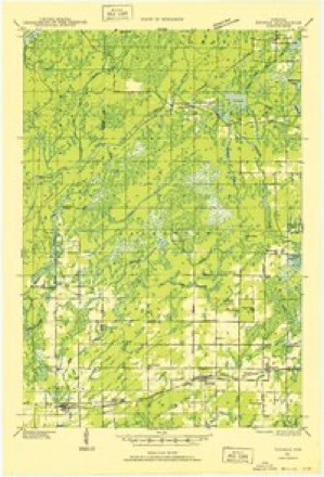
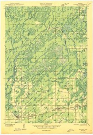
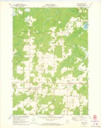
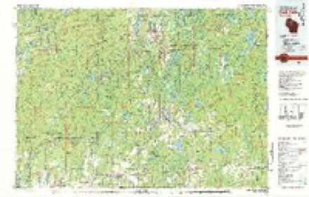
8 topographic sheets cover this place, the earliest surveyed in 1941 and the latest in 1980. It stands in Kennan town. It lies in ZIP code area 54537. The Survey maps it on the Kennan quadrangle. 365 people lived here at the 2020 count. It stands 1,332 feet above sea level.
Topographic sheets covering this place
6 surveys from 8 printed sheetsMatched by testing this settlement's coordinate against the published boundary of every sheet in the United States Geological Survey's historical collection. Each opens the scanned sheet at the Survey.
- 1941 USGS Kennan quadrangle1:48000, 2 printings
- 1945 USGS Kennan quadrangle1:48000
- 1953 USGS Rice Lake quadrangle1:250000, 2 printings
- 1959 USGS Rice Lake quadrangle1:250000
- 1971 USGS Kennan quadrangle1:24000
- 1980 USGS Park Falls quadrangle1:100000
Fires near this place
43 since 1992Regional context, not property-specific evidence. The federal wildfire occurrence database lists 43 fires within 5 miles of Kennan between 1992 and 2019, burning about 30 acres in total. 1 started naturally. 2 were recorded as arson. Distance is straight-line from the map coordinates, so a fire counted here may appear on a neighbouring settlement's page as well.
| Reported cause | Fires |
|---|---|
| Debris and open burning | 22 |
| Equipment and vehicle use | 6 |
| Missing data/not specified/undetermined | 5 |
| Smoking | 2 |
| Other causes | 2 |
| Arson/incendiarism | 2 |
| Recreation and ceremony | 1 |
| Fireworks | 1 |
| Power generation/transmission/distribution | 1 |
| Natural | 1 |
The most recent of them, most recent first, with the day each was reported and the service that recorded it.
| Date | Cause | Size | Reported by | Name on the report |
|---|---|---|---|---|
| 7 September 1999 | Natural | under an acre | Wisconsin Department of Natural Resources | not named |
| 6 August 1992 | Arson/incendiarism | under an acre | Wisconsin Department of Natural Resources | not named |
| 1 August 2005 | Debris and open burning | under an acre | Wisconsin Department of Natural Resources | not named |
| 9 July 2006 | Equipment and vehicle use | under an acre | Wisconsin Department of Natural Resources | not named |
| 30 July 2005 | Debris and open burning | under an acre | Wisconsin Department of Natural Resources | not named |
| 1 July 2008 | Fireworks | under an acre | Great Lakes Agency | FIREWORKS |
| 6 June 2017 | Equipment and vehicle use | 1.0 acres | Wisconsin Department of Natural Resources | MOONSHINE ALLEY |
| 2 June 2002 | Smoking | under an acre | Wisconsin Department of Natural Resources | not named |
Settlements close enough to share some of these fires:
Mines and quarries near this place
10 of 15 shownRegional context, not property-specific evidence. The federal mineral resources record lists 15 workings within 5 miles of Kennan: 9 occurrences, 6 past producers. None of them still produces. What was taken out: Sand and Gravel, Construction. Distance is straight-line from the map coordinates, so a quarry counted here may appear on a neighbouring settlement's page as well.
| Where | Site | Commodity | Status | Recorded |
|---|---|---|---|---|
| Elm Drive Gravel Deposit | Sand and Gravel, Construction | Occurrence | ||
| Elm Drive Gravel Pit | Sand and Gravel, Construction | Past Producer | ||
| Liberty Lane Gravel Pit | Sand and Gravel, Construction | Past Producer | ||
| Moonshine Alley Gravel Deposit #1 | Sand and Gravel, Construction | Occurrence | ||
| Moonshine Alley Gravel Deposit #2 | Sand and Gravel, Construction | Occurrence | ||
| Morgan Creek Gravel Deposit | Sand and Gravel, Construction | Occurrence | ||
| Morgan Creek Gravel Pit #1 | Sand and Gravel, Construction | Past Producer | ||
| Morgan Creek Gravel Pit #2 | Sand and Gravel, Construction | Past Producer | ||
| Oak Ridge Avenue Gravel Pit | Sand and Gravel, Construction | Past Producer | ||
| Old Mill Creek Gravel Deposit | Sand and Gravel, Construction | Occurrence |
Storms near this place
18 since 1998Regional context, not property-specific evidence. The National Weather Service names Kennan in 18 storm reports between 1998 and 2023: 9 hail, 6 thunderstorm wind, 3 tornado. No death or injury is recorded in these reports. Each account below is quoted exactly as the forecast office filed it, from the NOAA Storm Events Database, and each date opens the federal record of that event.
| When | Event | Place named | Harm | What the report says |
|---|---|---|---|---|
| May 2011 | Thunderstorm Wind | Kennan | $3,000 | Several small farm outbuildings were destroyed. Nearby large barns and house only sustained minor damage. |
| June 2019 | Tornado (EF0) | Kennan | - | The tornado began at 654 PM CDT just east of Rusk Road and north of US Highway 8 in a wooded area and moved toward the east-southeast. Large hardwood branches were broken on County Road J just north of US Highway 8 northwest of Kennan. It crossed US Highway 8 near County Highway N on the northeast side of Kennan with no visible damage. The tornado crossed Midway Road east of Woodlawn Road to the west-southwest of Catawba and flipped a chicken coop and removed a roof from an outbuilding. It then continued east-southeast and crossed County Road I between Main Street and Moonshine Alley where a farmstead lost shingles off a single family home and several trees were damaged. It was at this location that the tornado reached its peak intensity. The tornado continued to move toward the east-southeast with little damage observed until it crossed County Road O and Otteson Road west of Ogema. A softwood tree and several large branches were broken as it crossed County Road O. As the tornado crossed Otteson Road it dished in overhead doors attached to an outbuilding, rolled a farm tractor onto its side, pushed a shed several yards, and partially removed the shingles from the same shed. The tornado lifted at 736 PM CDT in a wooded area south of Otteson Road and west of 10 Crossing Road. |
| July 2018 | Thunderstorm Wind | Kennan | - | A few trees were blown down south of Kennan. |
| May 2017 | Hail | Kennan | - | The relayed by the Price County Sheriff. |
| May 2017 | Tornado (EF0) | Kennan | - | A supercell thunderstorm tracked across northwest Wisconsin during the late afternoon and early evening of 5/16/2017. The storm produced a strong, 83-mile-long track tornado which affected 4 Wisconsin counties (Polk, Barron, Rusk, and Price). The tornado developed at 4:42 pm over southeastern Polk County, east of Clear Lake, then moved east-northeastward across southern Barron County, and then east across southern Rusk counties into southwest Price County. The tornado tore across the Prairie Lake Estate 50-unit mobile home park halfway between Chetek and Cameron in Barron County. Dozens of mobile homes were destroyed and damaged from high-end EF-2 wind speeds. About a couple dozen people were injured, one seriously, and one adult man lost his life. The most intense damage was north of the Village of Conrath in Rusk County. A family home was completely destroyed down to the foundation, which resulted in an EF rating of 3 (140 mph). The remainder of the tornado's path ranged from EF0 to EF1 with mainly tree damage and occasional structural damage. The damage in Price County, along the last miles of its track, was EF0. The tornado dissipated at 7:10 pm. The tornado lasted 2 hours and 28 minutes.||As of June 2017, this was Wisconsin's longest tracked tornado on record since modern National Weather Service tornado records were established in 1950. |
| May 2011 | Thunderstorm Wind | Kennan | - | Large trees were blown down in far southwest Price County. |
| April 2009 | Hail | Kennan | - | Hail up to dime size fell on Highway 8. |
| August 2008 | Thunderstorm Wind | Kennan | - | Several trees were blown down near Highway J. The report was a public report relayed by law enforcement. |
| June 2001 | Thunderstorm Wind | Kennan | - | Trees were blown down. The wind speed is estimated. |
| July 2023 | Hail | Kennan | - | no account filed |
| July 2023 | Hail | Kennan | - | no account filed |
| July 2023 | Hail | Kennan | - | no account filed |
| August 2018 | Hail | Kennan | - | no account filed |
| May 2011 | Hail | Kennan | - | no account filed |
| August 2010 | Hail | Kennan | - | no account filed |
| June 2009 | Hail | Kennan | - | no account filed |
| September 2002 | Thunderstorm Wind | Kennan | - | no account filed |
| May 1998 | Tornado (F0) | Kennan | - | no account filed |
Nearest settlements
The eight closest, with where each one stands in the county. Distances are straight-line, computed from the Geographic Names Information System coordinates.
| Map | Place | Distance | Sheets |
|---|---|---|---|
| Catawba | 3.1 miles | 8 | |
| Pennington | 10.3 miles | 10 | |
| Cranberry Lake | 14.8 miles | 10 | |
| Phillips | 15.1 miles | 10 | |
| Prentice | 16.0 miles | 10 | |
| Worcester | 16.4 miles | 10 | |
| Ogema | 16.5 miles | 9 | |
| Lugerville | 17.4 miles | 10 |
Elsewhere
Matched on this settlement's Geographic Names Information System number rather than its name, so it cannot be a different place of the same name in another state.
| Wikipedia article on Kennan | An encyclopaedic summary. Its text is share-alike, so it is linked here rather than copied. |
| Wikidata item Q2205117 | The structured record the population and elevation above come from. Public domain (CC0). |
Provenance
This settlement is recorded in the Geographic Names Information System as feature 1567405. The sheet list is computed by point-in-boundary test against the United States Geological Survey's historical topographic inventory. Both are works of the United States government and carry no copyright under 17 U.S.C. 105.
Wildfire. Short, Karen C. 2022. Spatial wildfire occurrence data for the United States, 1992-2020 [FPA_FOD_20221014]. 6th Edition. Fort Collins, CO: Forest Service Research Data Archive. https://doi.org/10.2737/RDS-2013-0009.6 Collected with United States Government funding and usable without additional permissions or fees.
Mines and quarries. USGS Mineral Resources Data System (MRDS) https://mrdata.usgs.gov/mrds/ A work of the United States government, no copyright under 17 U.S.C. 105.
Storms. NOAA National Centers for Environmental Information, Storm Events Database https://www.ncei.noaa.gov/stormevents/ A work of the United States government, no copyright under 17 U.S.C. 105. Narratives are quoted verbatim from the National Weather Service report and are not edited or summarised.