 Block
Lauderdale, Wisconsin
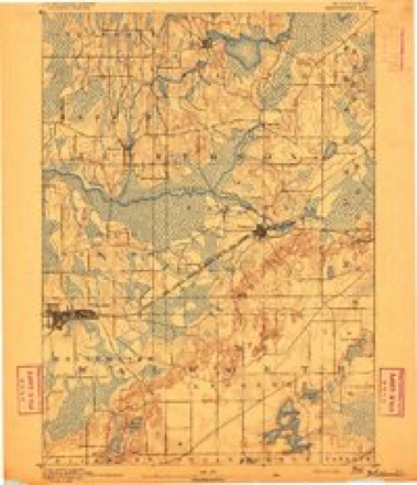
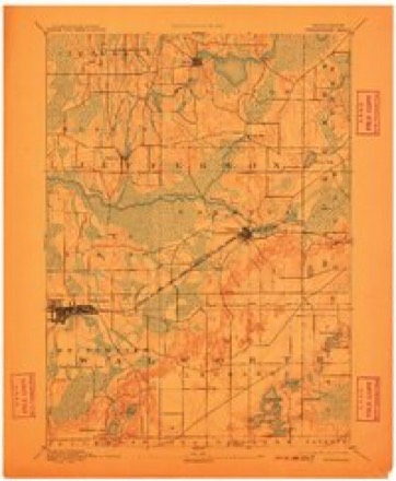
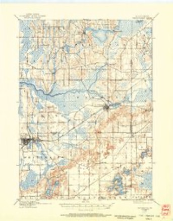
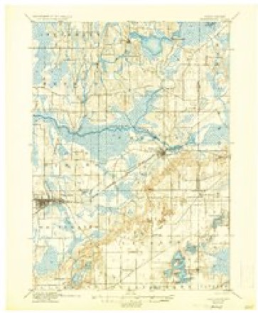
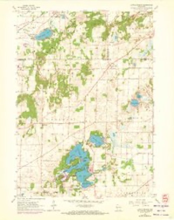
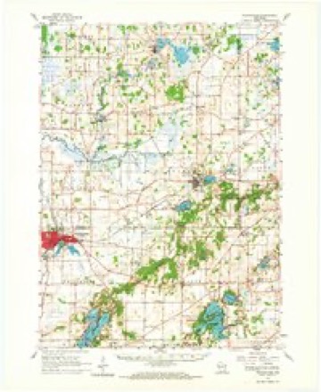
32 topographic sheets cover this place, the earliest surveyed in 1892 and the latest in 1980. It stands in La Grange town. It lies in ZIP code area 53121. It lies near Dewings Island. The Survey maps it on the Little Prairie quadrangle. It stands 909 feet above sea level.
Topographic sheets covering this place
11 surveys from 32 printed sheetsMatched by testing this settlement's coordinate against the published boundary of every sheet in the United States Geological Survey's historical collection. Each opens the scanned sheet at the Survey.
- 1892 USGS Whitewater quadrangle1:62500
- 1893 USGS Whitewater quadrangle1:62500, 7 printings
- 1903 USGS Whitewater quadrangle1:62500, 5 printings
- 1924 USGS Whitewater quadrangle1:62500, 4 printings
- 1954 USGS Rockford quadrangle1:250000
- 1955 USGS Rockford quadrangle1:250000
- 1958 USGS Rockford quadrangle1:250000, 4 printings
- 1960 USGS Little Prairie quadrangle1:24000, 3 printings
- 1960 USGS Whitewater quadrangle1:62500, 4 printings
- 1963 USGS Rockford quadrangle1:250000
- 1980 USGS Lake Geneva quadrangle1:100000





In the county-history sources
13,030 words on this townshipHistory of Walworth County, Wisconsin, Containing an Account of Its Settlement, Growth, Development and Resources...its War Record, Biographical Sketches, Portraits of Prominent Men and Early Settlers; the Whole Preceded by a History of Wisconsin...and an Abstract of Its Laws and Constitution.., published 1882 names this settlement in its chapter on La Grange Town. These are the passages that mention it, exactly as the scans read.
La Grange is one of the northern tier of towns, situated east of Whitewater and north of Sugar Creek. Speaking generally, the northern and soi^theastern portions of the town consist of rolling or hilly land, the central and southwestern of prairie land. The central sections of the town are quite flat, with slight elevations and sand-sinks. These latter are more frequent than in other parts of the county. An exception to the general hilly character of the north is the northwestern corner, in which is located a marsh containing some five sections. The direction of the hills and bluffs is from northeast to southwest. Heart Prairie, in the southwest, contains about six sections of land, and Kound Prairie, in the center of the town, one. The soil in these localities is not sandy and gravelly as in the north, but consists of clay loam and sand, mixed. To the east, its character changes to a heavy clay or sand. Originally, most of the town consisted of oak openings, \vith small gi-oves of black and white oak. The town is well watered. The Soiith Branch of the Scuf)ernong flows north through Sections 6 and 7 and a portion of 18, into Jefferson County. Pleasant Lake, in Section 24, Green, Middle and Mill Lakes, Sections 25, 26, 35 and 36, are situated in the southwestern corner. The latter three have Honey Creek as an outlet, which runs in an easterly direction. These bodies of water are smrounded generally by high bluffs and timbered land. Pickerel, pike, rock and black bass, perch, etc., find their natiu-al homes in them. They have been stocked also with Mackinaw trout. The depth of the water varies from ten to sixty feet. The town is given up almost entirely to farming, there be- no villages within its limits. Nearly eveiy variety of small grain is raised, the average yield being: Wheat, ten bushels per acre; oats, thirty; and corn, twenty-five. Very few of tJEte farms are devoted to dairying, the only butter and cheese factory in town, operated hy W. D. Stow, being biu'ned in 1879. The raising of swine is can-ied on quite extensively, B. Fowler, a resident of Heart Prairie, being particularly successful in bringing his breed of Poland-China pigs to a high state of perfection.
Passage source: History of Walworth County, Wisconsin, Containing an Account of Its Settlement, Growth, Development and Resources...its War Record, Biographical Sketches, Portraits of Prominent Men and Early Settlers; the Whole Preceded by a History of Wisconsin...and an Abstract of Its Laws and Constitution.., published 1882.
The first school in town was a private one, opened on Round Prairie in 1840, and taught by Melissa Cornish. Now, the town of La Grange consists of foiu- school districts and six joint districts, in which are 301 children of school age. Of this munber, the attendance is 211. The schools munber eight, and the teachers eight; wages of the male teachers, $32 per month, and female, $21.75. The schoolhouses are valued at $3,000; sites, $250; apparatus, $25; total valuation, $3,275.
Passage source: History of Walworth County, Wisconsin, Containing an Account of Its Settlement, Growth, Development and Resources...its War Record, Biographical Sketches, Portraits of Prominent Men and Early Settlers; the Whole Preceded by a History of Wisconsin...and an Abstract of Its Laws and Constitution.., published 1882.
Machine-read from a century-old scan, so expect the errors a machine makes: misspelled names, dropped words, stray characters.
Read the whole chapter on La Grange Town - it names this place 4 more 4 times.
Fires near this place
19 since 2018Regional context, not property-specific evidence. The federal wildfire occurrence database lists 19 fires within 5 miles of Lauderdale between 2018 and 2020, burning about 40 acres in total. None started naturally. None was recorded as arson. Distance is straight-line from the map coordinates, so a fire counted here may appear on a neighbouring settlement's page as well.
| Reported cause | Fires |
|---|---|
| Debris and open burning | 9 |
| Missing data/not specified/undetermined | 8 |
| Smoking | 1 |
| Recreation and ceremony | 1 |
The most recent of them, most recent first, with the day each was reported and the service that recorded it.
| Date | Cause | Size | Reported by | Name on the report |
|---|---|---|---|---|
| 9 April 2019 | Debris and open burning | under an acre | Wisconsin Department of Natural Resources | 19012 |
| 8 April 2019 | Missing data/not specified/undetermined | 10 acres | Wisconsin Department of Natural Resources | 153 |
| 7 April 2018 | Debris and open burning | 10 acres | Wisconsin Department of Natural Resources | 137 |
| 6 April 2019 | Debris and open burning | under an acre | Wisconsin Department of Natural Resources | 19011 |
| 29 April 2018 | Debris and open burning | 15 acres | Wisconsin Department of Natural Resources | 172 |
| 29 April 2018 | Debris and open burning | 1.0 acres | Wisconsin Department of Natural Resources | 18026 |
| 28 April 2018 | Debris and open burning | 1.0 acres | Wisconsin Department of Natural Resources | 170 |
| 23 April 2018 | Missing data/not specified/undetermined | under an acre | Wisconsin Department of Natural Resources | 2018020 |
Settlements close enough to share some of these fires:
Mines and quarries near this place
3 within 5 milesRegional context, not property-specific evidence. The federal mineral resources record lists 3 workings within 5 miles of Lauderdale: 2 producers, 1 past producer. 2 still produce. What was taken out: Sand and Gravel, Construction. Distance is straight-line from the map coordinates, so a quarry counted here may appear on a neighbouring settlement's page as well.
| Where | Site | Commodity | Status | Recorded |
|---|---|---|---|---|
| Nelson Pit | Sand and Gravel, Construction | Past Producer | ||
| Paddock Pit | Sand and Gravel, Construction | Producer | ||
| Potter Pit | Sand and Gravel, Construction | Producer |
Nearest settlements
The eight closest, with where each one stands in the county. Distances are straight-line, computed from the Geographic Names Information System coordinates.
| Map | Place | Distance | Sheets |
|---|---|---|---|
| Lauderdale Shores | 1.1 miles | 32 | |
| Tibbets | 2.5 miles | 19 | |
| Adams | 2.7 miles | 32 | |
| Abells Corners | 2.8 miles | 19 | |
| La Grange | 3.4 miles | 32 | |
| Mayhews (historical) | 3.5 miles | 24 | |
| Millard | 4.1 miles | 19 | |
| Heart Prairie | 4.6 miles | 32 |
Elsewhere
Matched on this settlement's Geographic Names Information System number rather than its name, so it cannot be a different place of the same name in another state.
| Wikipedia article on Lauderdale | An encyclopaedic summary. Its text is share-alike, so it is linked here rather than copied. |
| Wikidata item Q6497847 | The structured record the population and elevation above come from. Public domain (CC0). |
Provenance
This settlement is recorded in the Geographic Names Information System as feature 1567874. The sheet list is computed by point-in-boundary test against the United States Geological Survey's historical topographic inventory. Both are works of the United States government and carry no copyright under 17 U.S.C. 105.
Wildfire. Short, Karen C. 2022. Spatial wildfire occurrence data for the United States, 1992-2020 [FPA_FOD_20221014]. 6th Edition. Fort Collins, CO: Forest Service Research Data Archive. https://doi.org/10.2737/RDS-2013-0009.6 Collected with United States Government funding and usable without additional permissions or fees.
Mines and quarries. USGS Mineral Resources Data System (MRDS) https://mrdata.usgs.gov/mrds/ A work of the United States government, no copyright under 17 U.S.C. 105.