 Block
Lisbon, Wisconsin
20 topographic sheets cover this place, the earliest surveyed in 1892 and the latest in 1991. It stands in Lisbon Village. It lies in ZIP code area 53089. The Survey maps it on the Sussex quadrangle.
Topographic sheets covering this place
9 surveys from 20 printed sheetsMatched by testing this settlement's coordinate against the published boundary of every sheet in the United States Geological Survey's historical collection. Each opens the scanned sheet at the Survey.
- 1892 USGS Waukesha quadrangle1:62500
- 1901 USGS Waukesha quadrangle1:62500
- 1906 USGS Waukesha quadrangle1:62500, 4 printings
- 1957 USGS Madison quadrangle1:250000, 3 printings
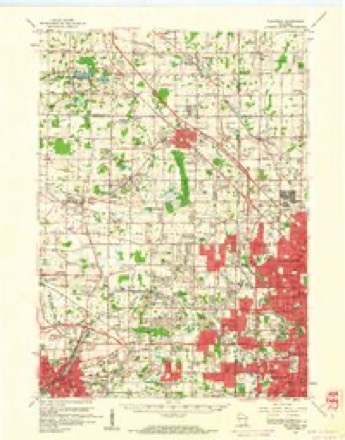
- 1959 USGS Sussex quadrangle1:24000, 4 printings
- 1959 USGS Waukesha quadrangle1:62500, 3 printings
- 1960 USGS Madison quadrangle1:250000, 2 printings
- 1984 USGS Oconomowoc quadrangle1:100000
- 1991 USGS Oconomowoc quadrangle1:100000
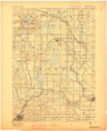
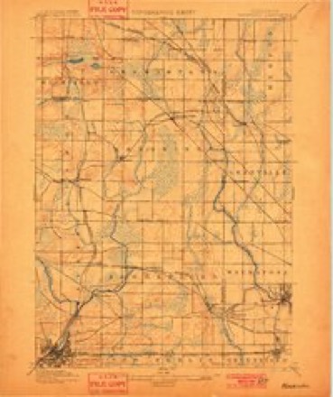
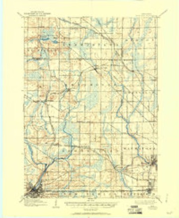

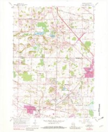

What happened here
An account from the chapter on Lisbon village. The inset identifies its exact source book and publication year.
Seven Murders
The county of Waukesha had got a reputation abroad for having had but one murder, apd a large number of her inhabitants thought the reputation a just one, as the only life-taking remembered, except the shooting of Henry Keene by' David Bonham, was the stabbing of Peschke by Dr. Bigelow, which was not generally considered murder.
In the county-history sources
63,227 words on this townshipThe History of Waukesha County, Wisconsin. Containing an Account of Its Settlement, Growth, Development and Resources; an Extensive and Minute Sketch of Its Cities, Towns and Villages--their Improvements, Industries, Manufactories, Churches, Schools and Societies; Its War Record, Biographical Sketches, Portraits of Prominent Men and Early Settlers; the Whole Preceded by a History of Wisconsin, Statistics of the State, and an Abstract of Its Laws and Constitution and of the Constitution of the United States, published 1880 names this settlement in its chapter on Lisbon Village. These are the passages that mention it, exactly as the scans read.
The first stone quarry ever worked in Waukesha County was opened in the early spring of 1840 by Lyman Goodnow. The land in which the stone was noticed was leased by him from Morris D. Cutler, in the village of Waukesha, and the first stone taken out was used in building the old Prairieville Academy that same spring. The work was prosecuted in the top layers, but the product of even that portion of the quarries proved so compact and hard that from that day the fame of Waukesha limestone was firmly established.
Bark River. - The most remote head-waters of this stream have their source in Washington County ; but by far the larger portion of its volume is furnished by the astonishing number, size and character of the lakes and springs in three of the northwest towns of the county, Merton, Delafield and Summit. Its bed lies in Lisbon, Merton, Delafield, Summit and Ottawa. On Section 6, of Ottawa, the Bark River crosses into Jefl"erson County, flowing west, in which it empties into Rock River, at Fort Atkinson. It affords several good water-powers, mostly by damming the outlets of the lakes through which it flows.
The Draft. - There was but little excitement in Waukesha County when the announcement was made that her citizens would be obliged to submit to a draft to fill her quota in Lincoln's call for 600,000 men. A gallant effort had been made to avert the humiliation of a draft, but it was not quite successful. Therefore, in September, 1862, Vernon Tichenor, of Waukesha, was appointed Commissioner to superintend the draft in this county, and Dr. R. Dunlap was appointed examining surgeon. The quota for the county was announced as follows : Waukesha, 194; Vernon, 63; New Berlin, 104; Brookfield, 116 ; Summit, 63; Oconomowoe, 121; Mukwonago, 75; Eagle, 70; Ottawa, 59; Delafield, 74; Genesee, 90; Menomonee, 125; Lisbon, 78; Pewaukee, 85; Muskego, 76; Merton, 81; total, 1,474. To this wae added 210 for decimated companies belonging to the county, which had theretofore enlisted, which swelled the number to 1,684. Before the arrival of the time for the draft to take place, however, the quota was reduced by enlistment to less than 200, and finally to 191.
Machine-read from a century-old scan, so expect the errors a machine makes: misspelled names, dropped words, stray characters.
Read the whole chapter on Lisbon Village - it names this place 20 more 20 times.
Fires near this place
25 since 2004Regional context, not property-specific evidence. The federal wildfire occurrence database lists 25 fires within 5 miles of Lisbon between 2004 and 2020, burning about 32 acres in total. 2 started naturally. None was recorded as arson. Distance is straight-line from the map coordinates, so a fire counted here may appear on a neighbouring settlement's page as well.
| Reported cause | Fires |
|---|---|
| Missing data/not specified/undetermined | 14 |
| Debris and open burning | 7 |
| Natural | 2 |
| Recreation and ceremony | 1 |
| Equipment and vehicle use | 1 |
The most recent of them, most recent first, with the day each was reported and the service that recorded it.
| Date | Cause | Size | Reported by | Name on the report |
|---|---|---|---|---|
| 31 August 2012 | Natural | 1.0 acres | Wisconsin Department of Natural Resources | not named |
| 1 July 2020 | Debris and open burning | under an acre | Wisconsin Department of Natural Resources | 222 |
| 8 June 2019 | Debris and open burning | under an acre | Wisconsin Department of Natural Resources | 1900183 |
| 20 June 2020 | Debris and open burning | under an acre | Wisconsin Department of Natural Resources | 2002129 |
| 11 June 2020 | Debris and open burning | under an acre | Wisconsin Department of Natural Resources | 20259 |
| 8 May 2018 | Missing data/not specified/undetermined | under an acre | Wisconsin Department of Natural Resources | 1800143 |
| 4 May 2019 | Missing data/not specified/undetermined | under an acre | Wisconsin Department of Natural Resources | 19560 |
| 4 May 2018 | Missing data/not specified/undetermined | under an acre | Wisconsin Department of Natural Resources | 1800812 |
Settlements close enough to share some of these fires:
Mines and quarries near this place
10 of 25 shownRegional context, not property-specific evidence. The federal mineral resources record lists 25 workings within 5 miles of Lisbon: 14 producers, 9 past producers, 2 unknowns. 14 still produce. What was taken out: Sand and Gravel, Construction, Limestone, Dimension, Stone, Crushed/Broken, Stone. Distance is straight-line from the map coordinates, so a quarry counted here may appear on a neighbouring settlement's page as well.
| Where | Site | Commodity | Status | Recorded |
|---|---|---|---|---|
| Four Halquist Quarries | Stone | Unknown | ||
| Genessee & Lannon Quarries | Stone | Unknown | ||
| Fonda Limestone Quarry | Stone, Crushed/Broken | Producer | ||
| Main Quarry and Mill | Stone, Crushed/Broken | Producer | ||
| Vulcan Materials Co Sussex Quarry | Stone, Crushed/Broken | Producer | ||
| Burg Limestone Quarry | Limestone, Dimension | Past Producer | ||
| Carlsons Limestone Quarry | Limestone, Dimension | Past Producer | ||
| Cawley Limestone Quarry | Limestone, Dimension | Past Producer | ||
| Dudovick Limestone Operation | Limestone, Dimension | Producer | ||
| Halquist Stone Company Ideal Quarry | Limestone, Dimension | Producer |
Nearest settlements
The eight closest, with where each one stands in the county. Distances are straight-line, computed from the Geographic Names Information System coordinates.
| Map | Place | Distance | Sheets |
|---|---|---|---|
| Sussex | 1.9 miles | 20 | |
| Lake Five | 3.0 miles | 22 | |
| Merton | 3.2 miles | 22 | |
| Willow Springs | 3.5 miles | 20 | |
| Colgate | 3.5 miles | 20 | |
| Lannon | 4.3 miles | 20 | |
| Camp Whitcomb | 4.4 miles | 22 | |
| Pewaukee | 5.1 miles | 22 |
Provenance
This settlement is recorded in the Geographic Names Information System as feature 2831241. The sheet list is computed by point-in-boundary test against the United States Geological Survey's historical topographic inventory. Both are works of the United States government and carry no copyright under 17 U.S.C. 105.
Wildfire. Short, Karen C. 2022. Spatial wildfire occurrence data for the United States, 1992-2020 [FPA_FOD_20221014]. 6th Edition. Fort Collins, CO: Forest Service Research Data Archive. https://doi.org/10.2737/RDS-2013-0009.6 Collected with United States Government funding and usable without additional permissions or fees.
Mines and quarries. USGS Mineral Resources Data System (MRDS) https://mrdata.usgs.gov/mrds/ A work of the United States government, no copyright under 17 U.S.C. 105.