 Block
New London, Wisconsin
7 topographic sheets cover this place, the earliest surveyed in 1955 and the latest in 1992. It stands in New London City. It lies in ZIP code area 54961. The Survey maps it on the New London quadrangle. 7,348 people lived here at the 2020 count. It stands 768 feet above sea level.
On record in New London
Buildings and businesses the archive holds for this place. Each opens its own page, with the source record it came from.
On the National Register 1 record
- William H. Hatten Recreation Parklisted 2024
Topographic sheets covering this place
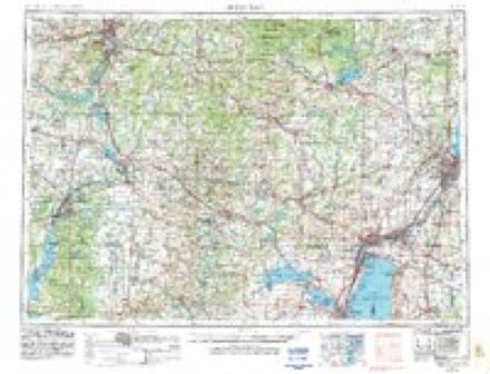
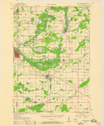
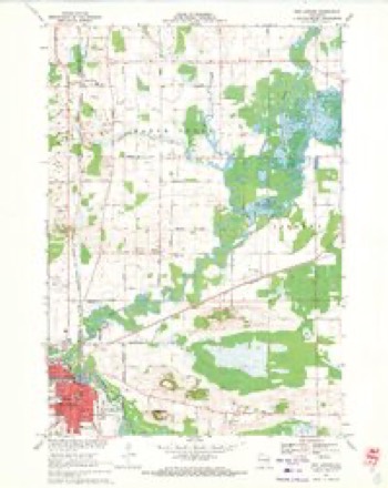
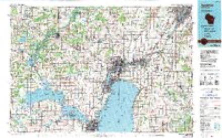
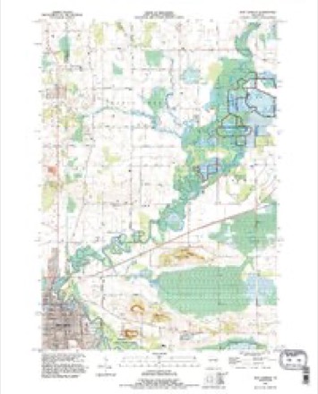
5 surveys from 7 printed sheetsMatched by testing this settlement's coordinate against the published boundary of every sheet in the United States Geological Survey's historical collection. Each opens the scanned sheet at the Survey.
- 1955 USGS Green Bay quadrangle1:250000, 2 printings
- 1956 USGS New London quadrangle1:48000
- 1969 USGS New London quadrangle1:24000
- 1984 USGS Appleton quadrangle1:100000, 2 printings
- 1992 USGS New London quadrangle1:24000
In the county-history sources
826 words on this townshipHistory of Waupaca County, Wisconsin, published 1890 names this settlement in its chapter on New London City. These are the passages that mention it, exactly as the scans read.
The City of New London is located on Sections 1, 12, and 13, of the Town of Mukwa, and also on a contiguous portion of Outagamie County. Like many Western towns, its growth from an insignificant hamlet to an important city has been truly phenomenal ; and we can not think that New London has seen its best days. Its natural and acquired advantages, its capital, its push, all will combine to save it from the fate of so many mushroom prodigies of the West.
Passage source: History of Waupaca County, Wisconsin, published 1890.
New London has 36 stores, 3 saw mills, 1 excelsior mill, 1 furniture factory, 1 planing mill, 1 grist mill, 2 breweries, 1 bottling works, 4 wagon works, 1 bee-hive factory, 1 grain elevator, 1 haypressing establishment, 1 bank, 5 hotels, 6 churches, a good high school and ward and parochial schools, and 1 nev>rspaper.
Passage source: History of Waupaca County, Wisconsin, published 1890.
We have been permitted to copy a well written paper, giving an account of the first school taught in New London. It is from the pen of Mrs. C. L. Allen, formerly Miss Maria Millerd, and first read before the Old Settlers' Society, of New London:
Passage source: History of Waupaca County, Wisconsin, published 1890.
Machine-read from a century-old scan, so expect the errors a machine makes: misspelled names, dropped words, stray characters.
Read the whole chapter on New London City - it names this place 2 more 2 times.
Fires near this place
67 since 1994Regional context, not property-specific evidence. The federal wildfire occurrence database lists 67 fires within 5 miles of New London between 1994 and 2020, burning about 72 acres in total. 1 started naturally. None was recorded as arson. Distance is straight-line from the map coordinates, so a fire counted here may appear on a neighbouring settlement's page as well.
| Reported cause | Fires |
|---|---|
| Debris and open burning | 32 |
| Equipment and vehicle use | 13 |
| Missing data/not specified/undetermined | 11 |
| Railroad operations and maintenance | 5 |
| Recreation and ceremony | 2 |
| Misuse of fire by a minor | 1 |
| Other causes | 1 |
| Smoking | 1 |
| Natural | 1 |
The most recent of them, most recent first, with the day each was reported and the service that recorded it.
| Date | Cause | Size | Reported by | Name on the report |
|---|---|---|---|---|
| 16 September 2002 | Equipment and vehicle use | under an acre | Wisconsin Department of Natural Resources | not named |
| 3 July 2018 | Equipment and vehicle use | under an acre | Wisconsin Department of Natural Resources | MERGER FIRE |
| 2 July 2006 | Missing data/not specified/undetermined | under an acre | Wisconsin Department of Natural Resources | not named |
| 15 July 2009 | Recreation and ceremony | under an acre | Wisconsin Department of Natural Resources | POPPYS ROCK |
| 15 July 2006 | Missing data/not specified/undetermined | under an acre | Wisconsin Department of Natural Resources | not named |
| 11 July 2018 | Equipment and vehicle use | under an acre | Wisconsin Department of Natural Resources | HIGHWAY 54 DITCHLINE |
| 11 July 2018 | Equipment and vehicle use | under an acre | Wisconsin Department of Natural Resources | HIGHWAY 54 DITCHLINE TWO |
| 20 June 2005 | Missing data/not specified/undetermined | under an acre | Wisconsin Department of Natural Resources | not named |
Settlements close enough to share some of these fires:
Mines and quarries near this place
10 of 12 shownRegional context, not property-specific evidence. The federal mineral resources record lists 12 workings within 5 miles of New London: 7 past producers, 3 occurrences, 2 producers. 2 still produce. What was taken out: Sand and Gravel, Construction, Stone, Crushed/Broken. Distance is straight-line from the map coordinates, so a quarry counted here may appear on a neighbouring settlement's page as well.
| Where | Site | Commodity | Status | Recorded |
|---|---|---|---|---|
| Black Creek Limestone Quarry | Stone, Crushed/Broken | Producer | ||
| Turney Hill Sandstone Quarry | Stone, Crushed/Broken | Past Producer | ||
| A Matz Gravel Pit | Sand and Gravel, Construction | Past Producer | ||
| B Duch Gravel Pit | Sand and Gravel, Construction | Past Producer | ||
| Givens Road Sand Deposit | Sand and Gravel, Construction | Occurrence | ||
| Mary Lemke Gravel Pit | Sand and Gravel, Construction | Past Producer | ||
| Murphy Construction Company | Sand and Gravel, Construction | Producer | ||
| New London Pit | Sand and Gravel, Construction | Past Producer | ||
| R Lathrop Sand Deposit | Sand and Gravel, Construction | Occurrence | ||
| R Lathrop Sand Pit | Sand and Gravel, Construction | Past Producer |
Storms near this place
36 since 1997Regional context, not property-specific evidence. The National Weather Service names New London in 36 storm reports between 1997 and 2026: 14 thunderstorm wind, 13 hail, 3 tornado, 2 flood. The reports record 1 injury. Each account below is quoted exactly as the forecast office filed it, from the NOAA Storm Events Database, and each date opens the federal record of that event.
| When | Event | Place named | Harm | What the report says |
|---|---|---|---|---|
| July 1997 | Thunderstorm Wind | New London | 1 hurt, $20,000 | no account filed |
| August 2013 | Tornado (EF2) | New London | $1,000,000 | Another fast-moving tornado formed within a line of severe thunderstorms and raced to the southeast. The tornado struck a church, causing severe damage (DI 9, DOD 6 and 7). A large portion of the roof collapsed, causing failure of two walls. A wall on a new portion of the church was pushed in. In addition, hundreds of trees were snapped or uprooted. Several homes along the path sustained damage, mainly from fallen trees. The tornado exited Waupaca County about one mile south of New London at about 12:25 am CDT. The average path width in Waupaca County was 100 yards. |
| July 2019 | Tornado (EF0) | New London | $100,000 | A tornado formed at 11:09 AM CDT and damaged a few trees before entering Outagamie County at 11:10 AM CDT about 1.4 miles south of New London. |
| August 2010 | Thunderstorm Wind | New London | $100,000 | Thunderstorm winds downed more than 1,000 trees throughout New London. A 28 foot trailer was blown onto its side and a section of the roof of the Sara Lee plant was damaged. At least 2 homes sustained damage from fallen trees. |
| August 2007 | Lightning | New London | $7,500 | no account filed |
| August 2005 | Tornado (F0) | New London | $1,000 | no account filed |
| April 2026 | Flood | New London | - | Widespread low-land flooding occurred in Waupaca County, resulting in considerable flood damage along the Wolf River from New London to Fremont to 97 homes. Evacuations occurred in the town of New London for multiple days. Power and gas was shutoff as flood waters impacted many homes and businesses. |
| June 2025 | Thunderstorm Wind | New London | - | Thunderstorm winds uprooted a large pine tree near New London. The time of this report is an estimate based on radar data. |
| April 2022 | Hail | New London | - | Quarter size hail fell in New London. |
| September 2021 | Hail | New London | - | Quarter size hail fell near New London. |
| September 2021 | Hail | New London | - | Penny size hail fell in New London. |
| September 2021 | Hail | New London | - | Golf ball size hail fell in New London. |
| April 2020 | Thunderstorm Wind | New London | - | Thunderstorm winds downed trees and power lines in New London. The time of this event is an estimate based on radar data. |
| May 2017 | Thunderstorm Wind | New London | - | A thunderstorm wind gust to 58 mph was measured in New London. |
| June 2016 | Thunderstorm Wind | New London | - | Thunderstorm winds snapped 5 large pine trees in New London. |
| June 2015 | Heavy Rain | New London | - | Heavy rain caused minor street flooding at some intersections in New London. |
| June 2014 | Thunderstorm Wind | New London | - | Thunderstorm winds downed tree limbs throughout New London. |
| June 2013 | Hail | New London | - | Nickle size hail fell at New London. |
| July 2012 | Hail | New London | - | Walnut size hail fell at New London. |
| July 2012 | Hail | New London | - | Hail up to quarter size fell at New London. |
| September 2012 | Hail | New London | - | Penny size hail fell in New London. |
| July 2012 | Hail | New London | - | Nickel size hail fell north of New London. |
| September 2011 | Thunderstorm Wind | New London | - | Thunderstorm winds produced a measured 60 mph gust at New London. |
| July 2010 | Thunderstorm Wind | New London | - | Thunderstorm wind gusts to 80 mph downed numerous trees and power lines, making State Highway 54 from Northport to New London nearly impassible. |
| July 2010 | Thunderstorm Wind | New London | - | A spotter measured a thunderstorm wind gust of 65 mph at New London. |
| March 2008 | Heavy Rain | New London | - | Heavy rain fell across most of Waupaca County. The highest precipitation totals were 1.30 inches on the west side of New London and 1.27 inches at Weyauwega. |
| May 2006 | Hail | New London | - | no account filed |
| April 2005 | Thunderstorm Wind | New London | - | no account filed |
| June 2005 | Funnel Cloud | New London | - | no account filed |
| June 2005 | Thunderstorm Wind | New London | - | no account filed |
| June 2005 | Thunderstorm Wind | New London | - | no account filed |
| July 1999 | Flood | New London | - | no account filed |
| August 1998 | Hail | New London | - | no account filed |
| August 1998 | Thunderstorm Wind | New London | - | no account filed |
| August 1998 | Hail | New London | - | no account filed |
| August 1998 | Hail | New London | - | no account filed |
Nearest settlements
The eight closest, with where each one stands in the county. Distances are straight-line, computed from the Geographic Names Information System coordinates.
| Map | Place | Distance | Sheets |
|---|---|---|---|
| Northport | 3.1 miles | 7 | |
| Shaw Landing | 4.1 miles | 8 | |
| Carmel | 4.8 miles | 7 | |
| Ostrander | 5.2 miles | 7 | |
| Royalton | 6.7 miles | 7 | |
| Nowell (historical) | 7.4 miles | 7 | |
| North Readfield | 7.5 miles | 8 | |
| Readfield | 8.5 miles | 8 |
Elsewhere
Matched on this settlement's Geographic Names Information System number rather than its name, so it cannot be a different place of the same name in another state.
| Wikipedia article on New London | An encyclopaedic summary. Its text is share-alike, so it is linked here rather than copied. |
| Wikidata item Q1569868 | The structured record the population and elevation above come from. Public domain (CC0). |
Provenance
This settlement is recorded in the Geographic Names Information System as feature 1570226. The sheet list is computed by point-in-boundary test against the United States Geological Survey's historical topographic inventory. Both are works of the United States government and carry no copyright under 17 U.S.C. 105.
Wildfire. Short, Karen C. 2022. Spatial wildfire occurrence data for the United States, 1992-2020 [FPA_FOD_20221014]. 6th Edition. Fort Collins, CO: Forest Service Research Data Archive. https://doi.org/10.2737/RDS-2013-0009.6 Collected with United States Government funding and usable without additional permissions or fees.
Mines and quarries. USGS Mineral Resources Data System (MRDS) https://mrdata.usgs.gov/mrds/ A work of the United States government, no copyright under 17 U.S.C. 105.
Storms. NOAA National Centers for Environmental Information, Storm Events Database https://www.ncei.noaa.gov/stormevents/ A work of the United States government, no copyright under 17 U.S.C. 105. Narratives are quoted verbatim from the National Weather Service report and are not edited or summarised.