 Block
Raymond, Wisconsin
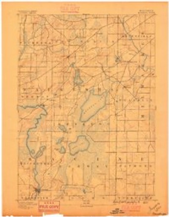
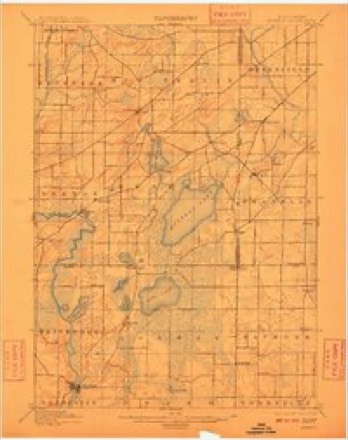
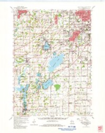
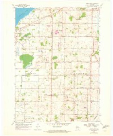
17 topographic sheets cover this place, the earliest surveyed in 1891 and the latest in 1980. It stands in Raymond Village. It lies in ZIP code area 53126. The Survey maps it on the North Cape quadrangle.
Topographic sheets covering this place
9 surveys from 17 printed sheetsMatched by testing this settlement's coordinate against the published boundary of every sheet in the United States Geological Survey's historical collection. Each opens the scanned sheet at the Survey.
- 1891 USGS Muskego quadrangle1:62500
- 1901 USGS Muskego quadrangle1:62500, 4 printings
- 1954 USGS Rockford quadrangle1:250000
- 1955 USGS Rockford quadrangle1:250000
- 1958 USGS Rockford quadrangle1:250000, 4 printings
- 1959 USGS Hales Corners quadrangle1:62500
- 1959 USGS North Cape quadrangle1:24000, 3 printings
- 1963 USGS Rockford quadrangle1:250000
- 1980 USGS Lake Geneva quadrangle1:100000





In the county-history sources
5,635 words on this townshipOfficial Record of the Old Settlers Society of Racine County, Wisconsin : with the Historical Address of Charles E. Dyer, Delivered at Burlington, Wis., February 22, 1871, published 1871 names this settlement in its chapter on Raymond Village. These are the passages that mention it, exactly as the scans read.
Among the very first settlers in Raymond, were Nathaniel Rogers and his son Joel Rogers. They were living there, on the arrival of Elisha Raymond, Sen., and his son, Alvin Raymond, who made their settlements in the town, on the 22d of September, 1835. Mr. Raymond, Sen., and his son Alvin, came on the vessel " Agnes Barton ," to Chicago, and from Chicago to Racine, on a little schooner manned by a Frenchman and two Indians. Upon their first tour into Raymond, they found the branch of Root River, which extends into the town, a full, clear stream, with a gravelly bottom, pleasant banks and unbroken current. Mr. Alvin Raymond in the following October, went to the Rapids and labored a year for Wm. See. Mr. Elisha Raymond bought a claim already made, covering a quarter section, for $25. He immediately rolled up some logs in cabin shape, put on some shakes for a roof, and lived there through the winter of 1835-36.
Passage source: Official Record of the Old Settlers Society of Racine County, Wisconsin : with the Historical Address of Charles E. Dyer, Delivered at Burlington, Wis., February 22, 1871, published 1871.
Nelson Bentley also arrived and settled in Raymond, in June, 1836. He drove a double team and wagon all the way from Manlius, N. Y. He and Seneca Raymond left Manlius on the same day, and both arrived at Racine on the same day, one coming by water from Oswego, and the other by his own conveyance, each making the journey in precisely six weeks.
Passage source: Official Record of the Old Settlers Society of Racine County, Wisconsin : with the Historical Address of Charles E. Dyer, Delivered at Burlington, Wis., February 22, 1871, published 1871.
In the summer of 1836, Mr. Raymond, Sr., built a capaccious two story log house on his claim. A stone chimney was built in the house from the ground floor, and it gives one a happy feeling to know of such comfort in a wilderness, as wras afforded in that house by the great old fashioned fire place with which it was provided.
Passage source: Official Record of the Old Settlers Society of Racine County, Wisconsin : with the Historical Address of Charles E. Dyer, Delivered at Burlington, Wis., February 22, 1871, published 1871.
Machine-read from a century-old scan, so expect the errors a machine makes: misspelled names, dropped words, stray characters.
Read the whole chapter on Raymond Village - it names this place 36 more 36 times.
Fires near this place
12 since 2018Regional context, not property-specific evidence. The federal wildfire occurrence database lists 12 fires within 5 miles of Raymond between 2018 and 2020, burning about 8 acres in total. None started naturally. None was recorded as arson. Distance is straight-line from the map coordinates, so a fire counted here may appear on a neighbouring settlement's page as well.
| Reported cause | Fires |
|---|---|
| Missing data/not specified/undetermined | 6 |
| Debris and open burning | 3 |
| Smoking | 2 |
| Power generation/transmission/distribution | 1 |
The most recent of them, most recent first, with the day each was reported and the service that recorded it.
| Date | Cause | Size | Reported by | Name on the report |
|---|---|---|---|---|
| 3 August 2018 | Missing data/not specified/undetermined | under an acre | Wisconsin Department of Natural Resources | 262 |
| 26 August 2020 | Missing data/not specified/undetermined | under an acre | Wisconsin Department of Natural Resources | 2001898 |
| 10 July 2018 | Missing data/not specified/undetermined | under an acre | Wisconsin Department of Natural Resources | 482 |
| 14 June 2020 | Missing data/not specified/undetermined | 1.0 acres | Wisconsin Department of Natural Resources | 2001223 |
| 5 May 2018 | Power generation/transmission/distribution | under an acre | Wisconsin Department of Natural Resources | 1376 |
| 26 April 2018 | Debris and open burning | 4.0 acres | Wisconsin Department of Natural Resources | 18037 |
| 23 March 2018 | Missing data/not specified/undetermined | 1.0 acres | Wisconsin Department of Natural Resources | 18023 |
| 18 March 2018 | Debris and open burning | under an acre | Wisconsin Department of Natural Resources | 81 |
Settlements close enough to share some of these fires:
Storms near this place
3 since 2002Regional context, not property-specific evidence. The National Weather Service names Raymond in 3 storm reports between 2002 and 2008: 1 thunderstorm wind, 1 tornado, 1 lightning. No death or injury is recorded in these reports. Each account below is quoted exactly as the forecast office filed it, from the NOAA Storm Events Database, and each date opens the federal record of that event.
| When | Event | Place named | Harm | What the report says |
|---|---|---|---|---|
| July 2008 | Lightning | Raymond | $3,000 | Lightning struck a home and the resultant fire damaged the roof and TV antenna. |
| July 2002 | Thunderstorm Wind | Raymond | $3,000 | no account filed |
| September 2007 | Tornado (EF0) | Raymond | $1,000 | A weak EF0 tornado spun up about 1/8 mile northwest of the intersection of 3 Mile Road and 68th Stree in central Racine County about 2 miles south-southeast (172 degrees) of Raymond, or 3.5 miles east-southeast (112 degrees) of North Cape. It initially tore up some mature corn crop, toppled a couple trees, crossed the intersection on a southeast path, tore some roof shingles off of a pole shed, and then dissipated in an open field. The average path length was about 15 yards. Damage indicator #1 (SBO) was used with a DOD value of 2 in the damage assessment for an expected wind value of about 75 mph. The initial spin up location was N42.77287 W88.00481 and the end point was N42.77119 W88.00054. |
Nearest settlements
The eight closest, with where each one stands in the county. Distances are straight-line, computed from the Geographic Names Information System coordinates.
| Map | Place | Distance | Sheets |
|---|---|---|---|
| Kneeland | 1.8 miles | 17 | |
| Kilbournville | 3.2 miles | 17 | |
| North Cape | 3.5 miles | 17 | |
| Thompsonville | 3.5 miles | 17 | |
| Yorkville | 4.1 miles | 18 | |
| Union Church | 4.2 miles | 17 | |
| Caledonia | 4.7 miles | 17 | |
| Ives Grove | 5.5 miles | 16 |
Provenance
This settlement is recorded in the Geographic Names Information System as feature 1572111. The sheet list is computed by point-in-boundary test against the United States Geological Survey's historical topographic inventory. Both are works of the United States government and carry no copyright under 17 U.S.C. 105.
Wildfire. Short, Karen C. 2022. Spatial wildfire occurrence data for the United States, 1992-2020 [FPA_FOD_20221014]. 6th Edition. Fort Collins, CO: Forest Service Research Data Archive. https://doi.org/10.2737/RDS-2013-0009.6 Collected with United States Government funding and usable without additional permissions or fees.
Storms. NOAA National Centers for Environmental Information, Storm Events Database https://www.ncei.noaa.gov/stormevents/ A work of the United States government, no copyright under 17 U.S.C. 105. Narratives are quoted verbatim from the National Weather Service report and are not edited or summarised.