 Block
Caledonia, Wisconsin
17 topographic sheets cover this place, the earliest surveyed in 1891 and the latest in 1980. It stands in Caledonia Village. It lies in ZIP code area 53108. The Survey maps it on the Franksville quadrangle. 25,361 people lived here at the 2020 count. It stands 659 feet above sea level.
On record in Caledonia
Buildings and businesses the archive holds for this place. Each opens its own page, with the source record it came from.
On the National Register 1 record
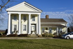 John Collins Houselisted 1974
Population over time
2 figuresCaledonia grew from 24,705 to 25,361 between 2010 and 2020. These are the recorded population figures Wikidata holds for this place, reached through the Geographic Names Information System number this page is keyed on rather than by name, so they belong to this place and not to another of the same name. Most are census counts, but not all are: an early figure may be a founding or settlement estimate, and an estimate published within five years of a census is left out. The change column is computed, and is left blank where more than 20 years separate a figure from the one before it, because a gap that long is not a change between two counts.
| Year | People | Change |
|---|---|---|
| 2010 | 24,705 | |
| 2020 | 25,361 | +656 (+3%) |
Topographic sheets covering this place
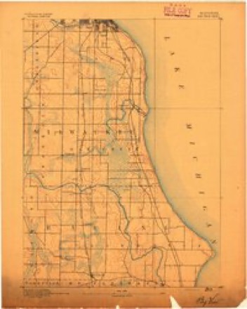
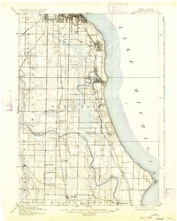
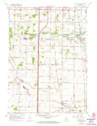
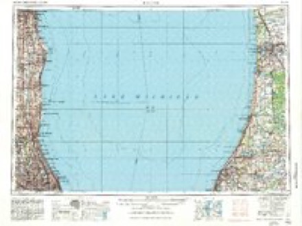
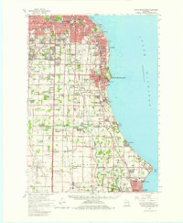
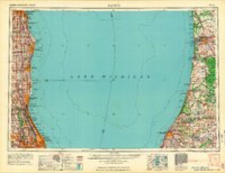
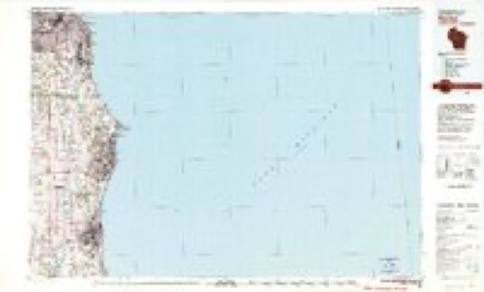
7 surveys from 17 printed sheetsMatched by testing this settlement's coordinate against the published boundary of every sheet in the United States Geological Survey's historical collection. Each opens the scanned sheet at the Survey.
- 1891 USGS Bayview quadrangle1:62500, 2 printings
- 1901 USGS Bayview quadrangle1:62500, 4 printings
- 1958 USGS Franksville quadrangle1:24000, 4 printings
- 1958 USGS Racine quadrangle1:250000, 3 printings
- 1958 USGS South Milwaukee quadrangle1:62500, 2 printings
- 1962 USGS Racine quadrangle1:250000
- 1980 USGS Racine quadrangle1:100000
In the county-history sources
6,561 words on this townshipOfficial Record of the Old Settlers Society of Racine County, Wisconsin : with the Historical Address of Charles E. Dyer, Delivered at Burlington, Wis., February 22, 1871, published 1871 names this settlement in its chapter on Caledonia Village. These are the passages that mention it, exactly as the scans read.
I have the word of Mr. Elam Beardsley, for saying, that he was the first actual white settler in Caledonia. It has been said that John Davis preceded him, but though Mr. Davis may have first asserted a claim in the town, I think that Mr. Beardsley established the first actual settlement, and that Mrs. Beardsley was the first white woman who came into the county for a permanent home. He came from Michigan, bringing with him his family, and on the third night after lie set out on his perilous journey, he and his household jewels slept in a shanty on his claim in Caledonia.
Passage source: Official Record of the Old Settlers Society of Racine County, Wisconsin : with the Historical Address of Charles E. Dyer, Delivered at Burlington, Wis., February 22, 1871, published 1871.
On the fifteenth day of February, they made their claim. They staked out as they supposed, enough land for four ; but when the survey was made, it was found that they had only secured a sufficient quantity of land for two claims. They then visited the Rapids, and found there, Mr, See, who was building his mill. Upon returning to their claim, they built a log shanty without a window in it. They soon returned to Michigan and removed to Chicago where the family lived two years. Meanwhile, Lucius S. Blake and his brother, A. H. Blake, came back to the claim and resided in their cabin two seasons. They ploughed a portion of the land, made some fencing, and held the claim by actual occupancy until Mr. Levi Blake removed to it with his family in the fall of 1837. Capt. Blake's capacious log house, which he built on his premises, was a land mark in the country. It was always open to the settlers, and the hospitality of its proprietor gave it the appropriate name of " Our House." The farm now owned by James Wilson, constituted part of the Blake claim. Early in 1835, Edward Bradley and his brother made claims in Caledonia, and during the summer of 1835 and spring of '36, other settlers arrived with their families ; among them were Simeon Butler, Isaac Butler, Thomas Butler, Joseph Adams, and Shintafer, whom Mr. Blake describes as a daring specimen of a borderer. I think at about the same time Ezra Beardsley, the father of Elam Beardsley, and Ira Hurlbut, also, settled in the town. Ezra Beardsley was known as a sturdy pioneer of great heart and noble hospitality.
Passage source: Official Record of the Old Settlers Society of Racine County, Wisconsin : with the Historical Address of Charles E. Dyer, Delivered at Burlington, Wis., February 22, 1871, published 1871.
About the 22d of Sept. 1835, Walter Cooley and his family came to Caledonia, accompanied by Eldad Smith and Mr. Elisha Raymond, sen. and family. Mr. Cooley came first to Racine alone, in May, 1835. He settled on a claim southwest of the Rapids, but afterwards located about one mile north, on or near a line of blazed trees which at that point, marked the route from Chicago to Milwaukee. In the spring of 1836, Mr. Cooley removed to the premises which until a late day he continued to own as his homestead, and as his country resort after he became a resident of Racine. His removal in 1836 was occasioned by the fact that he one day discovered, that he had located on the southeast corner of another man's claim.
Passage source: Official Record of the Old Settlers Society of Racine County, Wisconsin : with the Historical Address of Charles E. Dyer, Delivered at Burlington, Wis., February 22, 1871, published 1871.
Machine-read from a century-old scan, so expect the errors a machine makes: misspelled names, dropped words, stray characters.
Read the whole chapter on Caledonia Village - it names this place 16 more 16 times.
Fires near this place
21 since 2018Regional context, not property-specific evidence. The federal wildfire occurrence database lists 21 fires within 5 miles of Caledonia between 2018 and 2020, burning about 8 acres in total. None started naturally. None was recorded as arson. Distance is straight-line from the map coordinates, so a fire counted here may appear on a neighbouring settlement's page as well.
| Reported cause | Fires |
|---|---|
| Missing data/not specified/undetermined | 14 |
| Debris and open burning | 4 |
| Smoking | 3 |
The most recent of them, most recent first, with the day each was reported and the service that recorded it.
| Date | Cause | Size | Reported by | Name on the report |
|---|---|---|---|---|
| 3 August 2018 | Missing data/not specified/undetermined | under an acre | Wisconsin Department of Natural Resources | 262 |
| 26 August 2020 | Missing data/not specified/undetermined | under an acre | Wisconsin Department of Natural Resources | 2001898 |
| 9 July 2020 | Missing data/not specified/undetermined | 1.0 acres | Wisconsin Department of Natural Resources | 2001426 |
| 9 July 2018 | Missing data/not specified/undetermined | 1.0 acres | Wisconsin Department of Natural Resources | 2317 |
| 6 July 2018 | Missing data/not specified/undetermined | under an acre | Wisconsin Department of Natural Resources | 1801254 |
| 5 July 2018 | Missing data/not specified/undetermined | 1.0 acres | Wisconsin Department of Natural Resources | 1801249 |
| 10 July 2018 | Missing data/not specified/undetermined | under an acre | Wisconsin Department of Natural Resources | 482 |
| 14 June 2020 | Missing data/not specified/undetermined | 1.0 acres | Wisconsin Department of Natural Resources | 2001223 |
Settlements close enough to share some of these fires:
Mines and quarries near this place
1 within 5 milesRegional context, not property-specific evidence. The federal mineral resources record lists 1 working within 5 miles of Caledonia: 1 unknown. None of them still produces. What was taken out: Stone. Distance is straight-line from the map coordinates, so a quarry counted here may appear on a neighbouring settlement's page as well.
| Where | Site | Commodity | Status | Recorded |
|---|---|---|---|---|
| Own Crews | Stone | Unknown |
Storms near this place
14 since 1994Regional context, not property-specific evidence. The National Weather Service names Caledonia in 14 storm reports between 1994 and 2023: 8 thunderstorm wind, 4 hail, 1 lightning, 1 heavy rain. The reports record 1 death. Each account below is quoted exactly as the forecast office filed it, from the NOAA Storm Events Database, and each date opens the federal record of that event.
| When | Event | Place named | Harm | What the report says |
|---|---|---|---|---|
| June 1997 | Lightning | Caledonia | 1 killed | An elderly man trimming tress in his yard was struck and killed by lightning. |
| July 2000 | Thunderstorm Wind | Caledonia | $200,000 | no account filed |
| May 1998 | Thunderstorm Wind | Caledonia | $100,000 | no account filed |
| June 1999 | Thunderstorm Wind | Caledonia | $5,000 | no account filed |
| April 1994 | Thunderstorm Wind | Caledonia | $5,000 | no account filed |
| May 1998 | Thunderstorm Wind | Caledonia | $1,000 | no account filed |
| September 2010 | Thunderstorm Wind | Caledonia | - | An amateur radio operator reported a thunderstorm wind gust estimated at 52 knots (60 mph). |
| August 2023 | Hail | Caledonia | - | no account filed |
| March 2012 | Hail | Caledonia | - | no account filed |
| September 2010 | Hail | Caledonia | - | no account filed |
| September 2007 | Hail | Caledonia | - | no account filed |
| May 2004 | Heavy Rain | Caledonia | - | no account filed |
| July 2003 | Thunderstorm Wind | Caledonia | - | no account filed |
| August 1995 | Thunderstorm Wind | Caledonia | - | no account filed |
Nearest settlements
The eight closest, with where each one stands in the county. Distances are straight-line, computed from the Geographic Names Information System coordinates.
| Map | Place | Distance | Sheets |
|---|---|---|---|
| Kilbournville | 1.5 miles | 17 | |
| Husher | 1.6 miles | 17 | |
| Thompsonville | 2.5 miles | 17 | |
| Franksville | 3.3 miles | 17 | |
| Kneeland | 4.6 miles | 17 | |
| Raymond | 4.7 miles | 17 | |
| Tabor | 4.8 miles | 16 | |
| Ives Grove | 5.9 miles | 16 |
Elsewhere
Matched on this settlement's Geographic Names Information System number rather than its name, so it cannot be a different place of the same name in another state.
| Wikipedia article on Caledonia | An encyclopaedic summary. Its text is share-alike, so it is linked here rather than copied. |
| Wikidata item Q3345863 | The structured record the population and elevation above come from. Public domain (CC0). |
Provenance
This settlement is recorded in the Geographic Names Information System as feature 1562510. The sheet list is computed by point-in-boundary test against the United States Geological Survey's historical topographic inventory. Both are works of the United States government and carry no copyright under 17 U.S.C. 105.
Wildfire. Short, Karen C. 2022. Spatial wildfire occurrence data for the United States, 1992-2020 [FPA_FOD_20221014]. 6th Edition. Fort Collins, CO: Forest Service Research Data Archive. https://doi.org/10.2737/RDS-2013-0009.6 Collected with United States Government funding and usable without additional permissions or fees.
Mines and quarries. USGS Mineral Resources Data System (MRDS) https://mrdata.usgs.gov/mrds/ A work of the United States government, no copyright under 17 U.S.C. 105.
Storms. NOAA National Centers for Environmental Information, Storm Events Database https://www.ncei.noaa.gov/stormevents/ A work of the United States government, no copyright under 17 U.S.C. 105. Narratives are quoted verbatim from the National Weather Service report and are not edited or summarised.