 Block
River Falls, Wisconsin
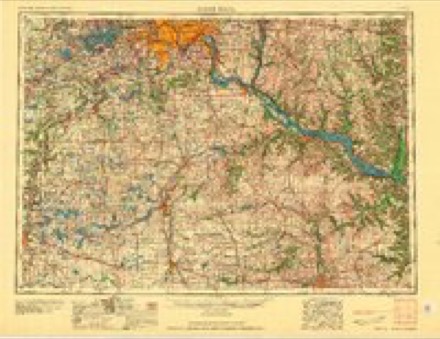
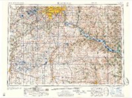
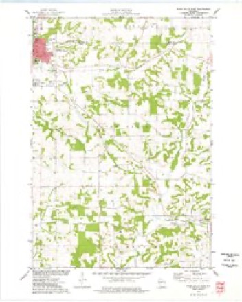
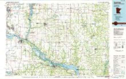
12 topographic sheets cover this place, the earliest surveyed in 1946 and the latest in 1990. It stands in River Falls City. It lies in ZIP code area 54022. It stands on South Fork Kinnickinnic River. The Survey maps it on the River Falls East quadrangle.
Research this city
On record in River Falls
Buildings and businesses the archive holds for this place. Each opens its own page, with the source record it came from.
On the National Register 7 records
 Roscius S. and Lydia R. Freeman Houselisted 2007
 Glen Park Municipal Swimming Poollisted 2007
 Glen Park Suspension Footbridgelisted 2018
 North Hall-River Falls State Normal Schoollisted 1986
 South Hall, River Falls State Normal Schoollisted 1976
- Roscius and Ingebor Freeman Houselisted 2025
- Jay and Bernice Grimm Houselisted 2025
Topographic sheets covering this place
9 surveys from 12 printed sheetsMatched by testing this settlement's coordinate against the published boundary of every sheet in the United States Geological Survey's historical collection. Each opens the scanned sheet at the Survey.
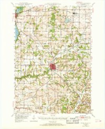
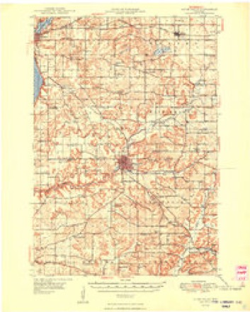
- 1946 USGS River Falls quadrangle1:62500
- 1949 USGS River Falls quadrangle1:62500, 2 printings
- 1953 USGS Saint Paul quadrangle1:250000, 3 printings
- 1953 USGS St. Paul quadrangle1:250000
- 1959 USGS Saint Paul quadrangle1:250000
- 1959 USGS St. Paul quadrangle1:250000
- 1974 USGS River Falls East quadrangle1:24000
- 1985 USGS Hastings quadrangle1:100000
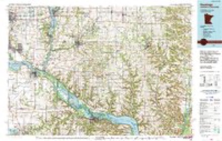
- 1990 USGS Hastings quadrangle1:100000
Fires near this place
13 since 2004Regional context, not property-specific evidence. The federal wildfire occurrence database lists 13 fires within 5 miles of River Falls between 2004 and 2020, burning about 66 acres in total. 1 started naturally. None was recorded as arson. Distance is straight-line from the map coordinates, so a fire counted here may appear on a neighbouring settlement's page as well.
| Reported cause | Fires |
|---|---|
| Missing data/not specified/undetermined | 8 |
| Debris and open burning | 3 |
| Natural | 1 |
| Equipment and vehicle use | 1 |
The most recent of them, most recent first, with the day each was reported and the service that recorded it.
| Date | Cause | Size | Reported by | Name on the report |
|---|---|---|---|---|
| 27 September 2020 | Missing data/not specified/undetermined | under an acre | Wisconsin Department of Natural Resources | 223 |
| 20 September 2020 | Missing data/not specified/undetermined | under an acre | Wisconsin Department of Natural Resources | 219 |
| 21 August 2018 | Equipment and vehicle use | under an acre | Wisconsin Department of Natural Resources | 185 |
| 30 June 2004 | Missing data/not specified/undetermined | under an acre | Wisconsin Department of Natural Resources | not named |
| 7 May 2019 | Missing data/not specified/undetermined | under an acre | Wisconsin Department of Natural Resources | 113 |
| 5 May 2018 | Natural | under an acre | Wisconsin Department of Natural Resources | 97 |
| 11 May 2020 | Missing data/not specified/undetermined | under an acre | Wisconsin Department of Natural Resources | 108 |
| 28 April 2018 | Debris and open burning | 60 acres | Wisconsin Department of Natural Resources | 91 |
Settlements close enough to share some of these fires:
Mines and quarries near this place
10 of 58 shownRegional context, not property-specific evidence. The federal mineral resources record lists 58 workings within 5 miles of River Falls: 41 past producers, 15 occurrences, 1 unknown, 1 producer. 1 still produces. What was taken out: Stone, Crushed/Broken, Sand and Gravel, Construction, Stone, Limestone, General. Distance is straight-line from the map coordinates, so a quarry counted here may appear on a neighbouring settlement's page as well.
| Where | Site | Commodity | Status | Recorded |
|---|---|---|---|---|
| Morrow Quarry | Stone | Unknown | ||
| River Falls Agricultural Lime Site | Limestone, General | Past Producer | ||
| Adolph Madsen Gravel Pit | Sand and Gravel, Construction | Past Producer | ||
| Angel Hill Drive Gravel Deposit | Sand and Gravel, Construction | Occurrence | ||
| Angel Hill Drive Gravel Pit | Sand and Gravel, Construction | Past Producer | ||
| C. & L. Deiss Gravel Deposit | Sand and Gravel, Construction | Occurrence | ||
| Cady Lane Gravel Pit | Sand and Gravel, Construction | Past Producer | ||
| Glover Road Sand Pit | Sand and Gravel, Construction | Past Producer | ||
| Radio Road Sand Pit | Sand and Gravel, Construction | Past Producer | ||
| Randall Road Gravel Pit #1 | Sand and Gravel, Construction | Past Producer |
Storms near this place
51 since 1994Regional context, not property-specific evidence. The National Weather Service names River Falls in 51 storm reports between 1994 and 2024: 28 thunderstorm wind, 16 hail, 3 flash flood, 2 heavy rain. No death or injury is recorded in these reports. Each account below is quoted exactly as the forecast office filed it, from the NOAA Storm Events Database, and each date opens the federal record of that event.
| When | Event | Place named | Harm | What the report says |
|---|---|---|---|---|
| May 2001 | Hail | River Falls | $20,000,000 | Wind driven baseball size hail damaged houses and vehicles, and knocked out hundreds of windows on the south side of town. The local University was particularly hard hit, including a greenhouse that was destroyed. |
| May 1996 | Thunderstorm Wind | River Falls | $1,000,000 | no account filed |
| May 1994 | Thunderstorm Wind | River Falls | $500 | no account filed |
| August 2024 | Thunderstorm Wind | River Falls | - | Report on social media of a large tree snapped at the trunk. |
| September 2022 | Hail | River Falls | - | Social media had several pictures of large hail that fell around River Falls, Wisconsin. One of the pictures measured 3 inches in diameter. Based on pictures and social media posts, there was a swath of this large hail that occurred on the northwest side of River Falls, and moved over the town, and exited on the southeast side. |
| July 2016 | Thunderstorm Wind | River Falls | - | An eight inch diameter tree was blown down near River Falls. |
| October 2016 | Hail | River Falls | - | A swath of dime and nickel size hail fell across northern Pierce County. |
| July 2015 | Heavy Rain | River Falls | - | A measured rainfall report of 6.54 inches occurred in River Falls. |
| July 2015 | Heavy Rain | River Falls | - | A CoCoRaHS observer measured 6.50 inches in a 4 hour period just south of River Falls. |
| July 2012 | Thunderstorm Wind | River Falls | - | Several large tree limbs were snapped off west of River Falls. |
| July 2011 | Thunderstorm Wind | River Falls | - | A large tree was blown down between River Falls, and Prescott, Wisconsin. |
| August 2010 | Flash Flood | River Falls | - | Numerous cars were stalled across the city of River Falls, Wisconsin due to rainfall amounts of three to five inches in less than 4 hours. |
| July 2008 | Thunderstorm Wind | River Falls | - | Several large tree limbs brought down across UW-River Falls campus. One 10 inch diameter pine tree top sheared off. |
| August 2007 | Thunderstorm Wind | River Falls | - | About one dozen trees down across town, including some on power lines and vehicles. |
| August 2007 | Thunderstorm Wind | River Falls | - | The River Falls street superintendent reported at least a dozen mature trees were toppled by the storm. This information reported by River Falls Journal. |
| August 2006 | Thunderstorm Wind | River Falls | - | Numerous trees down. |
| October 2006 | Thunderstorm Wind | River Falls | - | Large tree felled. |
| June 2005 | Thunderstorm Wind | River Falls | - | A tree was downed onto 690th in River Falls Township. |
| June 2005 | Thunderstorm Wind | River Falls | - | A few trees were downed. |
| June 2005 | Thunderstorm Wind | River Falls | - | A few trees were downed on the north side of town. |
| June 2005 | Tornado (F0) | River Falls | - | A tornado briefly touched down near the intersection of 900th Street and 850th Street in Section 16 of River Falls Township. The tornado downed more than 30 trees, blew off two access doors to an attic, and blew in the sliding door of a pole barn. After the tornado lifted, eyewitnesses said they saw the funnel cloud rise and fall from the storm as it moved to the northeast across Interstate 94. This storm was the same one that produced the F1 tornado in Hammond a short time later. |
| July 2005 | Hail | River Falls | - | Pea to nickel sized hail was reported. |
| July 2005 | Thunderstorm Wind | River Falls | - | A large oak tree was downed onto a car. Tree branches were downed between Maple and Division streets near Winter Street. A downed power line blocked Maple Street for about an hour. |
| July 2005 | Thunderstorm Wind | River Falls | - | Four inch tree limbs were downed near the intersection of County Road F and County Road M. |
| July 2005 | Flash Flood | River Falls | - | An isolated slow-moving thunderstorm formed over the River Falls area shortly after 6 PM and moved very little for 2 hours. It produced torrential rainfall which caused flooding in River Falls and in nearby rural areas. The intersection of County Road F and County Road M about 5 miles west of River Falls was flooded. Driveway flooding was reported along or adjacent to Highway 35 north northwest of River Falls. In River Falls high water covered the following intersections: Main and Pine, Roosevelt and Winter, and Maple and Wesley. A total of 4.25 inches of rain was recorded in only 75 minutes just north of the Pierce/St. Croix county line northwest of River Falls. A total of 3.24 inches was recorded on the east side of River Falls. A community parade in progress in downtown River Falls was washed out by the untimely downpour. |
| July 2005 | Thunderstorm Wind | River Falls | - | Trees and branches were downed across town, including one which fell across the intersection of Fourth Street and Pine Street. |
| October 2005 | Flash Flood | River Falls | - | Main Street and several other city streets were flooded. |
| May 2004 | Thunderstorm Wind | River Falls | - | A large tree was downed. |
| May 2004 | Thunderstorm Wind | River Falls | - | Downed trees blocked 630th Avenue near County Road E. |
| May 2004 | Thunderstorm Wind | River Falls | - | Downed trees blocked a road. |
| September 2002 | Thunderstorm Wind | River Falls | - | Trees down across road. |
| September 2002 | Thunderstorm Wind | River Falls | - | Scattered trees down. |
| May 2001 | Thunderstorm Wind | River Falls | - | Scattered trees down. |
| May 2001 | Thunderstorm Wind | River Falls | - | Measured at Rocky Branch School. Numerous trees down. |
| July 2000 | Hail | River Falls | - | Red Wing Republican newspaper reported an approximately two mile wide, 20 mile wide swath of destruction to crops began in the northwest portion of Pierce county (about 3 miles west of River Falls) and ended just north of Hager City. The vast majority of the damage was to corn, soybeans, small greens, and alfalfa crops. About 20,000 acres were lost. Twenty-one square miles were a total loss, and about about 40 square miles had some degree of damage from the windblown hail. Though not certain, it is likely this damage was from the same mesocyclone that produced widespread downburst damage from Lino Lakes, MN to Lake Elmo, MN (see corresponding entries in Minnesota portion). |
| July 2000 | Thunderstorm Wind | River Falls | - | Scattered trees down. Minor damage to barns and outbuildings. |
| June 1999 | Thunderstorm Wind | River Falls | - | Estimated windspeed. |
| May 1998 | Thunderstorm Wind | River Falls | - | Large trees blown down. Estimated windspeed. |
| May 2014 | Hail | River Falls | - | no account filed |
| June 2013 | Hail | River Falls | - | no account filed |
| July 2011 | Hail | River Falls | - | no account filed |
| July 2008 | Thunderstorm Wind | River Falls | - | no account filed |
| August 2008 | Hail | River Falls | - | no account filed |
| June 2007 | Hail | River Falls | - | no account filed |
| June 2005 | Hail | River Falls | - | no account filed |
| April 2004 | Hail | River Falls | - | no account filed |
| June 2001 | Hail | River Falls | - | no account filed |
| May 2001 | Hail | River Falls | - | no account filed |
| October 1996 | Hail | River Falls | - | no account filed |
| October 1996 | Hail | River Falls | - | no account filed |
| October 1996 | Lightning | River Falls | - | no account filed |
Nearest settlements
The eight closest, with where each one stands in the county. Distances are straight-line, computed from the Geographic Names Information System coordinates.
| Map | Place | Distance | Sheets |
|---|---|---|---|
| Beldenville | 8.6 miles | 12 | |
| Trimbelle | 9.2 miles | 14 | |
| Morton Corner | 9.4 miles | 11 | |
| Evergreen Estates | 11.1 miles | 15 | |
| Ellsworth | 11.5 miles | 15 | |
| East Ellsworth | 12.1 miles | 15 | |
| Martell | 12.2 miles | 11 | |
| Prescott | 12.2 miles | 12 |
Provenance
This settlement is recorded in the Geographic Names Information System as feature 1572347. The sheet list is computed by point-in-boundary test against the United States Geological Survey's historical topographic inventory. Both are works of the United States government and carry no copyright under 17 U.S.C. 105.
Wildfire. Short, Karen C. 2022. Spatial wildfire occurrence data for the United States, 1992-2020 [FPA_FOD_20221014]. 6th Edition. Fort Collins, CO: Forest Service Research Data Archive. https://doi.org/10.2737/RDS-2013-0009.6 Collected with United States Government funding and usable without additional permissions or fees.
Mines and quarries. USGS Mineral Resources Data System (MRDS) https://mrdata.usgs.gov/mrds/ A work of the United States government, no copyright under 17 U.S.C. 105.
Storms. NOAA National Centers for Environmental Information, Storm Events Database https://www.ncei.noaa.gov/stormevents/ A work of the United States government, no copyright under 17 U.S.C. 105. Narratives are quoted verbatim from the National Weather Service report and are not edited or summarised.