 Block
Schofield, Wisconsin
12 topographic sheets cover this place, the earliest surveyed in 1899 and the latest in 1993. It stands in Weston Village. It lies in ZIP code area 54476. It stands on Eau Claire River. The Survey maps it on the Wausau East quadrangle. 2,157 people lived here at the 2020 count. It stands 1,201 feet above sea level.
On record in Schofield
Buildings and businesses the archive holds for this place. Each opens its own page, with the source record it came from.
On the National Register 1 record
 Schofield Schoollisted 2015
Population over time
2 figuresSchofield fell from 2,169 to 2,157 between 2010 and 2020. These are the recorded population figures Wikidata holds for this place, reached through the Geographic Names Information System number this page is keyed on rather than by name, so they belong to this place and not to another of the same name. Most are census counts, but not all are: an early figure may be a founding or settlement estimate, and an estimate published within five years of a census is left out. The change column is computed, and is left blank where more than 20 years separate a figure from the one before it, because a gap that long is not a change between two counts.
| Year | People | Change |
|---|---|---|
| 2010 | 2,169 | |
| 2020 | 2,157 | -12 (-1%) |
Topographic sheets covering this place
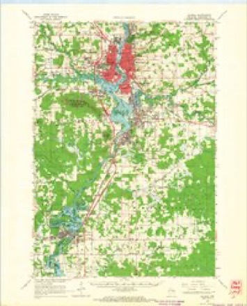
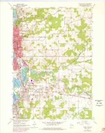
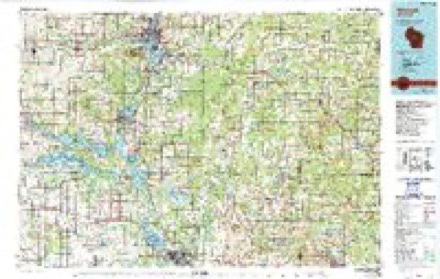
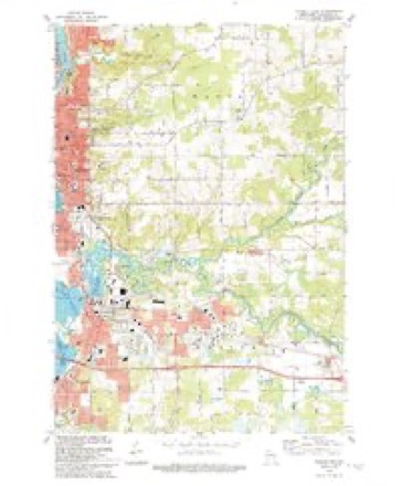
8 surveys from 12 printed sheetsMatched by testing this settlement's coordinate against the published boundary of every sheet in the United States Geological Survey's historical collection. Each opens the scanned sheet at the Survey.
- 1899 USGS Wausau quadrangle1:125000
- 1902 USGS Wausau quadrangle1:125000, 2 printings
- 1953 USGS Wausau quadrangle1:48000
- 1955 USGS Green Bay quadrangle1:250000, 2 printings
- 1963 USGS Wausau quadrangle1:62500, 2 printings
- 1963 USGS Wausau East quadrangle1:24000, 2 printings
- 1984 USGS Wausau quadrangle1:100000
- 1993 USGS Wausau East quadrangle1:24000
Fires near this place
81 since 1992Regional context, not property-specific evidence. The federal wildfire occurrence database lists 81 fires within 5 miles of Schofield between 1992 and 2020, burning about 90 acres in total. 1 started naturally. 6 were recorded as arson. Distance is straight-line from the map coordinates, so a fire counted here may appear on a neighbouring settlement's page as well.
| Reported cause | Fires |
|---|---|
| Equipment and vehicle use | 25 |
| Missing data/not specified/undetermined | 20 |
| Debris and open burning | 18 |
| Arson/incendiarism | 6 |
| Smoking | 4 |
| Recreation and ceremony | 3 |
| Misuse of fire by a minor | 2 |
| Fireworks | 1 |
| Other causes | 1 |
| Natural | 1 |
The most recent of them, most recent first, with the day each was reported and the service that recorded it.
| Date | Cause | Size | Reported by | Name on the report |
|---|---|---|---|---|
| 13 September 2018 | Equipment and vehicle use | under an acre | Wisconsin Department of Natural Resources | 678 |
| 29 August 1994 | Recreation and ceremony | 16 acres | Wisconsin Department of Natural Resources | not named |
| 24 July 2000 | Equipment and vehicle use | under an acre | Wisconsin Department of Natural Resources | not named |
| 22 July 2005 | Missing data/not specified/undetermined | under an acre | Wisconsin Department of Natural Resources | not named |
| 19 July 2000 | Equipment and vehicle use | under an acre | Wisconsin Department of Natural Resources | not named |
| 17 July 2018 | Missing data/not specified/undetermined | under an acre | Wisconsin Department of Natural Resources | 11260 |
| 13 July 2006 | Equipment and vehicle use | under an acre | Wisconsin Department of Natural Resources | not named |
| 12 July 2006 | Equipment and vehicle use | under an acre | Wisconsin Department of Natural Resources | not named |
Settlements close enough to share some of these fires:
Mines and quarries near this place
10 of 11 shownRegional context, not property-specific evidence. The federal mineral resources record lists 11 workings within 5 miles of Schofield: 4 unknowns, 3 occurrences, 2 past producers, 2 producers. 2 still produce. What was taken out: Sand and Gravel, Construction, Stone, Stone, Crushed/Broken. Distance is straight-line from the map coordinates, so a quarry counted here may appear on a neighbouring settlement's page as well.
| Where | Site | Commodity | Status | Recorded |
|---|---|---|---|---|
| Thurber Granite Pit | Stone, Crushed/Broken | Producer | ||
| Wimmer Pit | Stone, Crushed/Broken | Producer | ||
| Own Crews | Stone | Unknown | ||
| Sunburst Quarry | Stone | Unknown | ||
| Wimmer Quarry | Stone | Unknown | ||
| Cedar Creek Gravel Deposit | Sand and Gravel, Construction | Occurrence | ||
| County Pit | Sand and Gravel, Construction | Unknown | ||
| Kelly Gravel Pit | Sand and Gravel, Construction | Past Producer | ||
| Rothschild Gravel Deposit | Sand and Gravel, Construction | Occurrence | ||
| Rothschild Gravel Pit | Sand and Gravel, Construction | Past Producer |
Storms near this place
24 since 1995Regional context, not property-specific evidence. The National Weather Service names Schofield in 24 storm reports between 1995 and 2026: 12 hail, 7 thunderstorm wind, 2 lightning, 1 heavy rain. No death or injury is recorded in these reports. Each account below is quoted exactly as the forecast office filed it, from the NOAA Storm Events Database, and each date opens the federal record of that event.
| When | Event | Place named | Harm | What the report says |
|---|---|---|---|---|
| October 2007 | Lightning | Schofield | $8,300,000 | Lightning struck a 321 megawatt power plant in the Wausau area, causing damage severe enough to keep it off-line until late 2007 or early 2008. In addition to the cost of repairs to the plant, the utility company will have to pay at least an addition $30 million to purchase power to replace the amount that would have been generated by the plant while repairs are made. The plant was equipted with a state-of-the-art lightning suppression system that was operational at the time of the strike. |
| April 2026 | Tornado (EF3) | Schofield | $8,200,000 | A tornado developed about 3 miles west-southwest of Ringle, east of Kronenwetter near Martin and Creek Road, at about 4:46 PM CDT. The tornado moved northeast, crossing highway 29 and downing hundreds of trees. It then moved through neighborhoods along and near River Road from Shady Lane to north of Clubhouse Road. In this area, dozens of homes suffered significant roof damage, with failures of attached garages common. At least three homes in this area had complete removal of their roofs with failure of all external walls and several interior walls, consistent with EF-3 damage. Hundreds more trees were downed in this area, with many snapped near the base. Multiple sheds and outbuildings were destroyed. The tornado continued northeast, closely following the Eau Claire River, and dissipated between Gold Dust Road and County Road Z, 5 miles southwest of Hogarty, at about 5:03 PM CDT. The tornado destroyed 13 homes, produced major damage to 25 homes, with 101 homes reporting minor damage or affected by the tornado. An estimated $8.2 million worth of damage was reported from the tornado. Total path length is estimated to be 13.53 miles long, with a width of 600 yards. Peak wind estimated to be around 145 mph. |
| August 2008 | Lightning | Schofield | $8,000,000 | A lightning strike at 2:29 am CDT on August 23 generated a fire at the Gordon Aluminum Industries in Schofield. The fire destroyed a row of offices and generated enough heat to incapacitate nearby machinery. In addition to the fire damage at the plant, $300 million worth of unfinished aluminum had varying degrees of corrosion as a result of the smoke, ash, and water used to douse the flames.||The lightning strike rattled residences in the area. A blown gas main valve near the apparent source of the fire served to fuel the blaze. |
| June 1995 | Thunderstorm Wind | Schofield | $25,000 | Isolated severe storms developed powerful winds which resulted mostly in large trees and powerlines being blown down. Scattered locations in Price and St. Croix Counties had powerful winds which blew down large trees. In the Caroline (Shawano County) area the severe winds blew down several trees and the top of a high school scoreboard, and "pushed" a farmer's chopper wagon 700 feet across a field, the last 200 feet uphill. Intense downburst winds downed approximately 50 trees, and did $25,000 in damage to several houses and vehicles in the Schofield (Marathon County) area. Large trees were also toppled west of Fifield by a severe storms powerful winds. |
| September 2012 | Thunderstorm Wind | Schofield | $15,000 | Thunderstorm winds blew off part of a roof of a metal building system near Rothschild. |
| July 2011 | Thunderstorm Wind | Schofield | $15,000 | Thunderstorm winds knocked down numerous trees and power lines in the town of Schofield. One tree fell on a house. |
| September 2012 | Thunderstorm Wind | Schofield | $1,000 | Thunderstorm winds downed a large tree that fell onto and damaged a deck. |
| September 2012 | Thunderstorm Wind | Schofield | $500 | A thunderstorm wind gust, estimated at 80 mph, bent a highway sign to the ground. The sign, at the STH 29 and U.S. Highway 51 interchange, was on steel posts that bent at the base. |
| May 2025 | Hail | Schofield | - | Quarter size hail fell near Evergreen. |
| May 2025 | Hail | Schofield | - | Half dollar size hail fell near Evergreen. |
| August 2024 | Flash Flood | Schofield | - | Heavy rain caused flash flooding in Schofield and Rothschild in central Marathon County. Many roads were closed due to standing and flowing water. |
| May 2022 | Hail | Schofield | - | Quarter size hail fell in Schofield. |
| June 2021 | Thunderstorm Wind | Schofield | - | Thunderstorm winds downed trees and power lines in Rothschild. The time of this report is an estimate based on radar data. |
| October 2012 | Hail | Schofield | - | Quarter size hail fell in Schofield. |
| May 2011 | Hail | Schofield | - | Thunderstorms dropped penny to quarter size hail in Rothschild. |
| May 2011 | Hail | Schofield | - | Thunderstorms dropped quarter size hail in Schofield. |
| May 2011 | Hail | Schofield | - | Quarter size hail fell in Rothschild. |
| July 2011 | Thunderstorm Wind | Schofield | - | Thunderstorm winds downed trees in the town of Schofield. |
| August 2011 | Heavy Rain | Schofield | - | More than an inch and a half of rain, 1.55 inches, fell in Rothschild in 30 minutes. |
| July 2010 | Hail | Schofield | - | Quarter size hail fell at Rothschild. |
| May 2006 | Hail | Schofield | - | no account filed |
| May 2006 | Hail | Schofield | - | no account filed |
| May 2006 | Hail | Schofield | - | no account filed |
| July 2006 | Hail | Schofield | - | no account filed |
Nearest settlements
The eight closest, with where each one stands in the county. Distances are straight-line, computed from the Geographic Names Information System coordinates.
| Map | Place | Distance | Sheets |
|---|---|---|---|
| Rothschild | 1.8 miles | 12 | |
| Wausau Junction | 2.2 miles | 12 | |
| Kelly | 2.2 miles | 12 | |
| Weston | 3.3 miles | 12 | |
| Wausau | 3.7 miles | 12 | |
| East Hill | 3.7 miles | 12 | |
| Franklin Hill | 3.7 miles | 12 | |
| Rib Mountain | 3.8 miles | 12 |
Elsewhere
Matched on this settlement's Geographic Names Information System number rather than its name, so it cannot be a different place of the same name in another state.
| Wikipedia article on Schofield | An encyclopaedic summary. Its text is share-alike, so it is linked here rather than copied. |
| Wikidata item Q1570193 | The structured record the population and elevation above come from. Public domain (CC0). |
Provenance
This settlement is recorded in the Geographic Names Information System as feature 1573796. The sheet list is computed by point-in-boundary test against the United States Geological Survey's historical topographic inventory. Both are works of the United States government and carry no copyright under 17 U.S.C. 105.
Wildfire. Short, Karen C. 2022. Spatial wildfire occurrence data for the United States, 1992-2020 [FPA_FOD_20221014]. 6th Edition. Fort Collins, CO: Forest Service Research Data Archive. https://doi.org/10.2737/RDS-2013-0009.6 Collected with United States Government funding and usable without additional permissions or fees.
Mines and quarries. USGS Mineral Resources Data System (MRDS) https://mrdata.usgs.gov/mrds/ A work of the United States government, no copyright under 17 U.S.C. 105.
Storms. NOAA National Centers for Environmental Information, Storm Events Database https://www.ncei.noaa.gov/stormevents/ A work of the United States government, no copyright under 17 U.S.C. 105. Narratives are quoted verbatim from the National Weather Service report and are not edited or summarised.