 Block
Tabor, Wisconsin
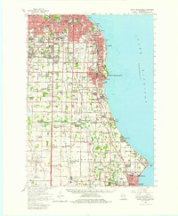
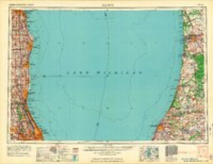
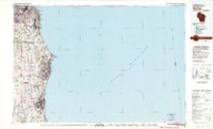
16 topographic sheets cover this place, the earliest surveyed in 1891 and the latest in 1980. It stands in Caledonia Village. It lies in ZIP code area 53402. The Survey maps it on the Racine North quadrangle.
Topographic sheets covering this place
7 surveys from 16 printed sheetsMatched by testing this settlement's coordinate against the published boundary of every sheet in the United States Geological Survey's historical collection. Each opens the scanned sheet at the Survey.
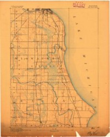
- 1891 USGS Bayview quadrangle1:62500, 2 printings
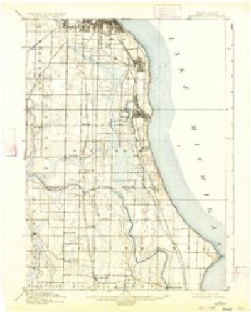
- 1901 USGS Bayview quadrangle1:62500, 4 printings
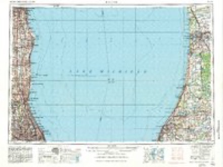
- 1958 USGS Racine quadrangle1:250000, 3 printings
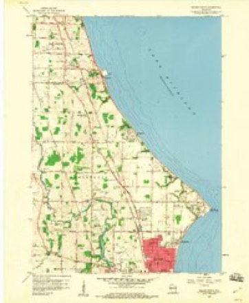
- 1958 USGS Racine North quadrangle1:24000, 3 printings
- 1958 USGS South Milwaukee quadrangle1:62500, 2 printings
- 1962 USGS Racine quadrangle1:250000
- 1980 USGS Racine quadrangle1:100000
In the county-history sources
6,561 words on this townshipOfficial Record of the Old Settlers Society of Racine County, Wisconsin : with the Historical Address of Charles E. Dyer, Delivered at Burlington, Wis., February 22, 1871, published 1871; The History of Racine and Kenosha Counties, Wisconsin .., published 1879 names this settlement in its chapter on Caledonia Village. These are the passages that mention it, exactly as the scans read.
Eldad Smith was one of the early settlers in Caledonia. He arrived in Racine on the 22d day of September, 1835, and remaining there a short time, went into Caledonia and purchased the claim of John Davis. It was a claim covering two hundred and forty acres. He built a log house and went there to live, on the 1st day of November, 1835, remaining until the winter of 1841, when he removed to Racine. He says t lat in the fall of 1835, in addition to those already named, Trystam Davis, Mr. Fowler, Mr. Stillman, Hugh Bennett, and Hiram Bennett were settled in Caledonia.
Passage source: Official Record of the Old Settlers Society of Racine County, Wisconsin : with the Historical Address of Charles E. Dyer, Delivered at Burlington, Wis., February 22, 1871, published 1871.
At the crossing of Skunk Creek, where Mr. Hood now resides, men were building the first bridge across the stream. Among them was Symmes Butler who had located near what is now called Caledonia Center. Resuming their travels, Mr Kimball and party soon reached the house of C H Blake, who was living in a log cabin on the claim which was afterwards the home of Capt. Levi Blake. Resting there until toward evening, they continued their tramp until, at night, they arrived at the residence of Symmes Butler. He was living on what was called Hoosier creek. Several families were living in the neighborhood, among them Mr. Janes, the founder of Janesville. They wTere cordially welcomed. The next morning, as they were preparing to depart, Mrs. Butler remarked: "When you get out in the woods, you will know the reason why my husband is so ragged ; he has been ruling through the woods so much he has left a rag on* every bush." With Mr. Butler as their guide, they rambled through groves of timber and openings, and crossed beautiful prairies and meadows, with only here and there % claim, and greatly exhilarated by the thought that all this goodly land could be bought for one dollar and twenty-five cents per acre ! Mr. Kimball made a claim at that time, and settled on it,. In the latter part of February, 1836, he returned to Chicago, and immediately made preparations for removing to Root river, with his aged parents. His brother, Leonard Kimball, preceded them to make preparations for their arrival. About the middle of March they started with three yoke of oxen and a wagon, and were two weeks making their journey. Arrived at their destination, they found an unfinished cabin on the premises, which was soon completed with its shake roof, rude stone chimney and elm bark floors.
Passage source: Official Record of the Old Settlers Society of Racine County, Wisconsin : with the Historical Address of Charles E. Dyer, Delivered at Burlington, Wis., February 22, 1871, published 1871.
JTOHN ELilASy dealer in groceries, dry goods, hardware and notions. Tabor; was bom in Bohemia in 1852 ; came to Wisconsin with his parents in 1854; married Miss Mary Dworak in 1878 ; she was born in Bohemia in 1859. Mr. Elias is the son of John Elias, who died April 19, 1875 ; he owns niaety-seven acres of land, situated five and one-half miles north of Racine, Sec. 18, Range 23, Town 4; he values his land at $90 per acre ; it is in a good state of cultivation ; Mr. Elias is Postmaster at Tabor ; when he was 21 years of age, he was elected Town Treasurer, and fulfilled his duties so satisfactorily that he was elected for a second term ; he was also elected as Town Clerk, but only served for six months, when he was obliged to resign on account of a cold, contracted while performing his duties ; in 1877, at the request of C. B. Richards & Boas, of 61 Broadway, N. Y., he accepted the agency for their steamship line for any point in Germany, Bohemia, and to Hamburg, from Racine; also makes remittances, for pirties desiring it. to any of these points.
Passage source: The History of Racine and Kenosha Counties, Wisconsin .., published 1879.
Machine-read from a century-old scan, so expect the errors a machine makes: misspelled names, dropped words, stray characters.
Read the whole chapter on Caledonia Village - it names this place 6 more 6 times.
Fires near this place
16 since 2018Regional context, not property-specific evidence. The federal wildfire occurrence database lists 16 fires within 5 miles of Tabor between 2018 and 2020, burning about 6 acres in total. None started naturally. 1 was recorded as arson. Distance is straight-line from the map coordinates, so a fire counted here may appear on a neighbouring settlement's page as well.
| Reported cause | Fires |
|---|---|
| Missing data/not specified/undetermined | 9 |
| Debris and open burning | 5 |
| Smoking | 1 |
| Arson/incendiarism | 1 |
The most recent of them, most recent first, with the day each was reported and the service that recorded it.
| Date | Cause | Size | Reported by | Name on the report |
|---|---|---|---|---|
| 9 July 2020 | Missing data/not specified/undetermined | 1.0 acres | Wisconsin Department of Natural Resources | 2001426 |
| 9 July 2020 | Missing data/not specified/undetermined | under an acre | Wisconsin Department of Natural Resources | 2001423 |
| 6 July 2018 | Missing data/not specified/undetermined | under an acre | Wisconsin Department of Natural Resources | 1801254 |
| 5 July 2018 | Missing data/not specified/undetermined | 1.0 acres | Wisconsin Department of Natural Resources | 1801249 |
| 15 June 2018 | Debris and open burning | under an acre | Wisconsin Department of Natural Resources | 1801102 |
| 6 May 2018 | Missing data/not specified/undetermined | under an acre | Wisconsin Department of Natural Resources | 181719 |
| 2 May 2018 | Debris and open burning | under an acre | Wisconsin Department of Natural Resources | 1803754 |
| 30 April 2018 | Missing data/not specified/undetermined | under an acre | Wisconsin Department of Natural Resources | 181633 |
Settlements close enough to share some of these fires:
Nearest settlements
The eight closest, with where each one stands in the county. Distances are straight-line, computed from the Geographic Names Information System coordinates.
| Map | Place | Distance | Sheets |
|---|---|---|---|
| Crestview | 1.3 miles | 16 | |
| Husher | 3.2 miles | 17 | |
| Ives | 3.5 miles | 16 | |
| Wind Point | 4.2 miles | 16 | |
| North Bay | 4.6 miles | 16 | |
| Caledonia | 4.8 miles | 17 | |
| Franksville | 5.7 miles | 17 | |
| Kilbournville | 6.2 miles | 17 |
Provenance
This settlement is recorded in the Geographic Names Information System as feature 1575214. The sheet list is computed by point-in-boundary test against the United States Geological Survey's historical topographic inventory. Both are works of the United States government and carry no copyright under 17 U.S.C. 105.
Wildfire. Short, Karen C. 2022. Spatial wildfire occurrence data for the United States, 1992-2020 [FPA_FOD_20221014]. 6th Edition. Fort Collins, CO: Forest Service Research Data Archive. https://doi.org/10.2737/RDS-2013-0009.6 Collected with United States Government funding and usable without additional permissions or fees.