 Block
From the record
One of 60 National Register listings published here for Sheboygan County · listed in 2011 · category: Site.
Sources: the case file at the National Archives · the National Register database, National Park Service
Listed on the National Register of Historic Places in 2011.
One of 60 National Register listings published here for Sheboygan County · listed in 2011 · category: Site.
Sources: the case file at the National Archives · the National Register database, National Park Service
Regional context, not property-specific evidence. The National Weather Service names Mosel, the town this property stands in, in 2 storm reports between 2024 and 2026: 2 hail. No death or injury is recorded in these reports. Each account below is quoted exactly as the forecast office filed it, from the NOAA Storm Events Database, and each date opens the federal record of that event.
| When | Event | Place named | Harm | What the report says |
|---|---|---|---|---|
| March 2026 | Hail | Mosel | - | Picture of one inch hail provided. |
| April 2024 | Hail | Mosel | - | no account filed |
No historic map-sheet match is published for this property yet. That does not mean no map exists. This record needs a coordinate-quality review before it can be joined to a sheet boundary. Browse the county's mapped places while that work is pending.
Other National Register properties close enough to walk or drive between, ordered by distance from this one. Both positions come from the same geocoding pass that matched these properties to their map sheets.
| Photograph | Property | Distance | Listed |
|---|---|---|---|
| SILVER LAKE (scow-schooner) Shipwreck | 2.3 miles | 2013 | |
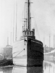 | SELAH CHAMBERLAIN (bulk carrier) Shipwreck | 4.9 miles | 2019 |
| MONTGOMERY shipwreck (schooner) | 5.7 miles | 2019 | |
| Washington Elementary School | 7.1 miles | 2017 | |
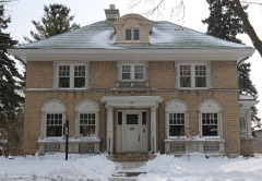 | Eliza Prange House | 7.3 miles | 2015 |
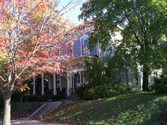 | Thomas M. and Bridget Blackstock House | 7.4 miles | 1995 |
| National Archives record | The nomination case file for reference 11000811 in Record Group 79. |
| Sheboygan County | All 60 listed properties in this county. |