 Block
From the record
One of 32 National Register listings published here for Ashland County · listed in 1977 · category: Building · built in 1893.
Sources: the case file at the National Archives · the National Register database, National Park Service
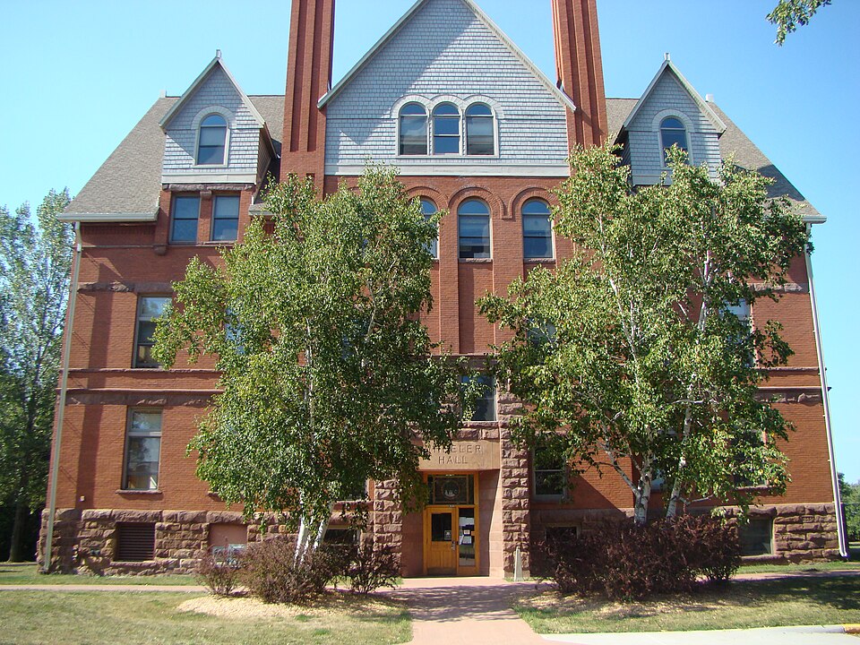
Built in 1893. Listed on the National Register of Historic Places in 1977.
One of 32 National Register listings published here for Ashland County · listed in 1977 · category: Building · built in 1893.
Sources: the case file at the National Archives · the National Register database, National Park Service
Regional context, not property-specific evidence. The federal wildfire occurrence database lists 47 fires within 5 miles of Wheeler Hall, Northland College between 1992 and 2019, burning about 121 acres in total. None started naturally. None was recorded as arson. Distance is straight-line from the map coordinates, so a fire counted here may appear on a neighbouring settlement's page as well.
| Reported cause | Fires |
|---|---|
| Debris and open burning | 18 |
| Missing data/not specified/undetermined | 9 |
| Equipment and vehicle use | 9 |
| Recreation and ceremony | 4 |
| Power generation/transmission/distribution | 3 |
| Fireworks | 2 |
| Smoking | 1 |
| Other causes | 1 |
The most recent of them, most recent first, with the day each was reported and the service that recorded it.
| Date | Cause | Size | Reported by | Name on the report |
|---|---|---|---|---|
| 5 September 1998 | Debris and open burning | under an acre | Wisconsin Department of Natural Resources | not named |
| 28 September 1995 | Missing data/not specified/undetermined | under an acre | Wisconsin Department of Natural Resources | not named |
| 18 September 2008 | Debris and open burning | 19 acres | Wisconsin Department of Natural Resources | not named |
| 14 September 2006 | Equipment and vehicle use | under an acre | Wisconsin Department of Natural Resources | not named |
| 1 September 2009 | Debris and open burning | 1.3 acres | Wisconsin Department of Natural Resources | JUNK FARM |
| 3 August 2007 | Recreation and ceremony | under an acre | Wisconsin Department of Natural Resources | not named |
| 1 August 2004 | Debris and open burning | 1.2 acres | Wisconsin Department of Natural Resources | not named |
| 8 July 2001 | Fireworks | under an acre | Great Lakes Agency | 2 LANDING |
Regional context, not property-specific evidence. The federal mineral resources record lists 2 workings within 5 miles of Wheeler Hall, Northland College: 1 past producer, 1 occurrence. None of them still produces. What was taken out: Sand and Gravel, Construction. Distance is straight-line from the map coordinates, so a quarry counted here may appear on a neighbouring settlement's page as well.
| Where | Site | Commodity | Status | Recorded |
|---|---|---|---|---|
| Ashland Sand Pit | Sand and Gravel, Construction | Past Producer | ||
| Chequamegon Bay Sand Deposit | Sand and Gravel, Construction | Occurrence |
Regional context, not property-specific evidence. The National Weather Service names Ashland, the town this property stands in, in 30 storm reports between 1999 and 2025: 15 thunderstorm wind, 9 hail, 3 flash flood, 1 lightning. No death or injury is recorded in these reports. Each account below is quoted exactly as the forecast office filed it, from the NOAA Storm Events Database, and each date opens the federal record of that event.
| When | Event | Place named | Harm | What the report says |
|---|---|---|---|---|
| July 2011 | Lightning | Ashland | $80,000 | no account filed |
| July 2016 | Flash Flood | Ashland | $1,000 | The Ashland County Sheriff Office reported nearly all roads across the city of Ashland were under water. |
| July 2025 | Thunderstorm Wind | Ashland | - | A photo was received showing a tree down in Ashland. |
| April 2023 | Flood | Ashland | - | Warm temperatures early in April led to rapid snowmelt of a well above normal snowpack across the region. Additionally, heavy rainfall on top of the snowpack led to additional high runoff across the county as well. Roads began to be impacted on the 11th with water overtopping low spots leading to washouts and failed culverts. Temperatures cooled during the middle of the month along with a heavy snow event the 16th into the 17th. This allowed the runoff to slow and water levels to drop. Numerous road closures were reported across the entire county due to failed culverts, washouts and gravel roads being washed away. Multiple communities issued disaster declarations due to the extent of washed out roads. Copper Falls State Park was also closed for a period due to damaged roads within the park. Damage estimates were not readily available from the county. |
| July 2023 | Thunderstorm Wind | Ashland | - | Tree limbs eight inches in diameter were knocked down in Ashland. |
| July 2023 | Thunderstorm Wind | Ashland | - | A power pole was knocked down and on fire in Ashland. |
| July 2016 | Flash Flood | Ashland | - | The Sheriff office in Ashland County reported nearly every street in the city of Ashland was under water. |
| July 2016 | Thunderstorm Wind | Ashland | - | There were numerous trees down in the city of Ashland. The tree diameters ranged from 8 to 10. Some branches were thrown 100' feet away. |
| July 2014 | Thunderstorm Wind | Ashland | - | There was a measured 54 knot wind gust at the Ashland Marina. |
| July 2014 | Thunderstorm Wind | Ashland | - | There was a 54 knot wind gust measured at the Ashland Marina. |
| August 2014 | Tornado (EF0) | Ashland | - | At least two witnesses saw a waterspout form over Chequamegon Bay and then briefly move inland as a tornado with the storms moving to the south-southwest. Pictures were taken of the waterspout. One witness described the tornado moved inland for about 10 seconds before dissipating near the median on Highway 2. |
| July 2011 | Thunderstorm Wind | Ashland | - | Numerous trees were blown down. |
| July 2011 | Thunderstorm Wind | Ashland | - | Numerous trees were blown down. |
| May 2008 | Thunderstorm Wind | Ashland | - | Large tree branches were blown down. |
| June 2007 | Thunderstorm Wind | Ashland | - | Trees and powerlines were blown down by the severe thunderstorm winds. |
| July 2006 | Hail | Ashland | - | The hail fell at Northland College. |
| July 2006 | Thunderstorm Wind | Ashland | - | Trees were reported down county-wide. |
| June 2005 | Thunderstorm Wind | Ashland | - | Power lines were blown down. |
| July 2005 | Flash Flood | Ashland | - | Water running over the top of White River Dam causing flooding of nearby road. |
| September 2005 | Thunderstorm Wind | Ashland | - | Numerous trees and power lines were blown down in the Ashland area. There was also minor structural damage. |
| June 2018 | Hail | Ashland | - | no account filed |
| July 2017 | Hail | Ashland | - | no account filed |
| July 2014 | Hail | Ashland | - | no account filed |
| August 2012 | Hail | Ashland | - | no account filed |
| August 2010 | Hail | Ashland | - | no account filed |
| May 2007 | Hail | Ashland | - | no account filed |
| May 2007 | Hail | Ashland | - | no account filed |
| July 2006 | Hail | Ashland | - | no account filed |
| July 1999 | Thunderstorm Wind | Ashland | - | no account filed |
| July 1999 | Thunderstorm Wind | Ashland | - | no account filed |
No historic map-sheet match is published for this property yet. That does not mean no map exists. This record needs a coordinate-quality review before it can be joined to a sheet boundary. Browse the county's mapped places while that work is pending.
Other National Register properties close enough to walk or drive between, ordered by distance from this one. Both positions come from the same geocoding pass that matched these properties to their map sheets.
| Photograph | Property | Distance | Listed |
|---|---|---|---|
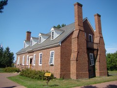 | Wakefield Hall | under 500 feet | 1995 |
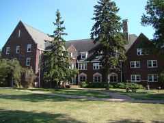 | Memorial Hall | under 500 feet | 1995 |
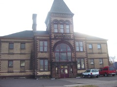 | Wilmarth School | 0.4 miles | 1980 |
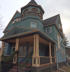 | Chapple and MacArthur Avenues Residential Historic District | 0.6 miles | 2014 |
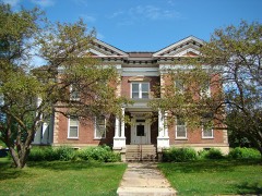 | Lewis C. and Caroline Wilmarth House | 0.7 miles | 2013 |
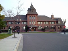 | Soo Line Depot | 0.7 miles | 1988 |
| National Archives record | The nomination case file for reference 77000029 in Record Group 79. |
| Ashland County | All 32 listed properties in this county. |