 Block
From the record
One of 60 National Register listings published here for Sheboygan County · listed in 1984 · category: Site.
Sources: the case file at the National Archives · the National Register database, National Park Service
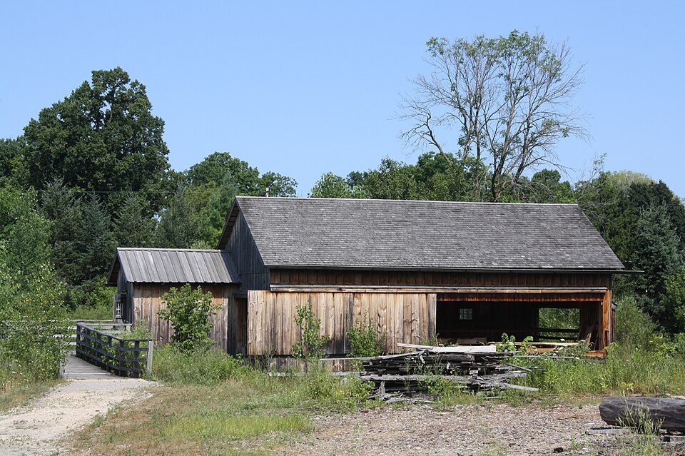
Listed on the National Register of Historic Places in 1984.
One of 60 National Register listings published here for Sheboygan County · listed in 1984 · category: Site.
Sources: the case file at the National Archives · the National Register database, National Park Service
This property stands in Greenbush Town. History of Sheboygan County, Wisconsin, Past and Present, published 1912 gives that township a chapter of its own.
The chapter covers the township.
Machine-read from a century-old scan, so expect the errors a machine makes: misspelled names, dropped words, stray characters.
Read the whole chapter on Greenbush Town - 64 words on its settlement, mills, schools and churches.
Regional context, not property-specific evidence. The federal wildfire occurrence database lists 11 fires within 5 miles of Robinson-Herrling Sawmill between 2012 and 2020, burning about 57 acres in total. None started naturally. None was recorded as arson. Distance is straight-line from the map coordinates, so a fire counted here may appear on a neighbouring settlement's page as well.
| Reported cause | Fires |
|---|---|
| Debris and open burning | 6 |
| Missing data/not specified/undetermined | 2 |
| Smoking | 2 |
| Equipment and vehicle use | 1 |
The most recent of them, most recent first, with the day each was reported and the service that recorded it.
| Date | Cause | Size | Reported by | Name on the report |
|---|---|---|---|---|
| 4 August 2018 | Smoking | under an acre | Wisconsin Department of Natural Resources | 251 |
| 21 July 2012 | Debris and open burning | under an acre | Wisconsin Department of Natural Resources | GLENBEULAH |
| 12 June 2019 | Debris and open burning | under an acre | Wisconsin Department of Natural Resources | 2018009 |
| 12 May 2018 | Debris and open burning | under an acre | Wisconsin Department of Natural Resources | 131 |
| 9 April 2019 | Debris and open burning | under an acre | Wisconsin Department of Natural Resources | 106 |
| 22 April 2019 | Debris and open burning | under an acre | Wisconsin Department of Natural Resources | 2019016 |
| 19 April 2019 | Debris and open burning | under an acre | Wisconsin Department of Natural Resources | 122 |
| 25 March 2018 | Smoking | under an acre | Wisconsin Department of Natural Resources | 83 |
Regional context, not property-specific evidence. The federal mineral resources record lists 6 workings within 5 miles of Robinson-Herrling Sawmill: 4 producers, 2 past producers. 4 still produce. What was taken out: Sand and Gravel, Construction, Stone, Crushed/Broken. Distance is straight-line from the map coordinates, so a quarry counted here may appear on a neighbouring settlement's page as well.
| Where | Site | Commodity | Status | Recorded |
|---|---|---|---|---|
| Sheboygan County Agricultural Dept | Stone, Crushed/Broken | Producer | ||
| Crystal Lake Crushed Stone Quarry | Sand and Gravel, Construction | Producer | ||
| Jens Pit | Sand and Gravel, Construction | Producer | ||
| Jones Pit | Sand and Gravel, Construction | Past Producer | ||
| Northwest Area Operations | Sand and Gravel, Construction | Producer | ||
| Schroeder Pit | Sand and Gravel, Construction | Past Producer |
Regional context, not property-specific evidence. The National Weather Service names Greenbush, the town this property stands in, in 13 storm reports between 1996 and 2021: 8 thunderstorm wind, 4 hail, 1 funnel cloud. No death or injury is recorded in these reports. Each account below is quoted exactly as the forecast office filed it, from the NOAA Storm Events Database, and each date opens the federal record of that event.
| When | Event | Place named | Harm | What the report says |
|---|---|---|---|---|
| April 2001 | Thunderstorm Wind | Greenbush | $400,000 | no account filed |
| July 2008 | Thunderstorm Wind | Greenbush | $300,000 | A line of severe storms moved west to east across Sheboygan County and generated widespread powerful winds that gusted to an estimated 61 to 70 knots (70 to 80 mph). In addition, a tornado spun up north of Sheboygan Falls at 1437 CST - see the tornado event write-up for deatils. The ASOS unit at the Sheboygan County Airport measured a gust of 53 knots (61 mph). Thousands of trees were snapped or toppled, and many power-lines were brought down by tree debris, mostly across the northern part of the county. An 81-year-old women in Plymouth was injured when the winds pushed a door of a store into her. She broke her arm and was hospitalized. Elsewhere in Plymouth, 2 vehicles were damaged by tree debris. North of Plymouth, 2 cabins at a camp ground were destroyed by toppled trees, and 3 other camp buldings were damaged. In Sheboygan Falls, at least 12 homes were damaged. In Kohler, a vehicle was crushed by a toppled tree. City and county 911 Communications Centers received thousands of calls within a 5 hour period. At least 14,000 homes in Sheboygan County lost electrical power. |
| July 1999 | Thunderstorm Wind | Greenbush | $20,000 | no account filed |
| July 2015 | Thunderstorm Wind | Greenbush | $10,000 | Branches and trees down in the northern portion of the county including Plymouth. |
| July 2006 | Thunderstorm Wind | Greenbush | $2,000 | Trees down. |
| August 2000 | Thunderstorm Wind | Greenbush | $1,000 | no account filed |
| August 2021 | Thunderstorm Wind | Greenbush | - | Multiple pines knocked down and damage to tree branches in the Greenbush area. |
| July 2010 | Thunderstorm Wind | Greenbush | - | Law enforcement officials reported trees blown down by thunderstorm wind gusts estimated up to 52 knots (60 mph). |
| July 2020 | Hail | Greenbush | - | no account filed |
| July 2020 | Hail | Greenbush | - | no account filed |
| April 2008 | Hail | Greenbush | - | no account filed |
| April 2002 | Hail | Greenbush | - | no account filed |
| July 1996 | Funnel Cloud | Greenbush | - | no account filed |
No historic map-sheet match is published for this property yet. That does not mean no map exists. This record needs a coordinate-quality review before it can be joined to a sheet boundary. Browse the county's mapped places while that work is pending.
Other National Register properties close enough to walk or drive between, ordered by distance from this one. Both positions come from the same geocoding pass that matched these properties to their map sheets.
| Photograph | Property | Distance | Listed |
|---|---|---|---|
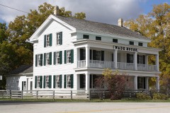 | Sylvanus Wade House | 0.1 miles | 1971 |
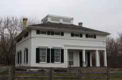 | Charles Robinson House | 0.2 miles | 1984 |
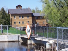 | Glenbeulah Mill/Grist Mill | 2.4 miles | 1984 |
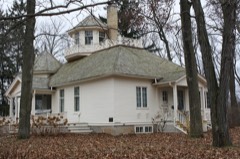 | Villa Laun | 4.2 miles | 1982 |
| Villa Von Baumbach | 4.6 miles | 1982 | |
 | Elkhart Lake Road Race Circuits | 4.8 miles | 2006 |
| National Archives record | The nomination case file for reference 84000685 in Record Group 79. |
| Sheboygan County | All 60 listed properties in this county. |