 Block
Brinton, Wyoming
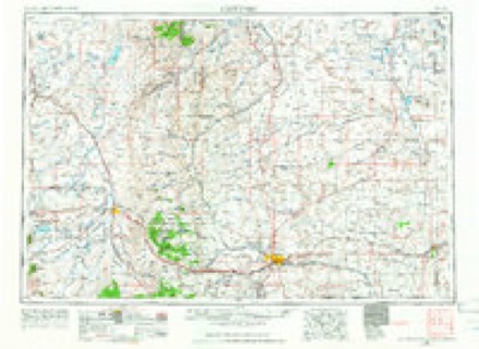
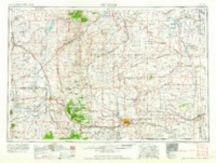
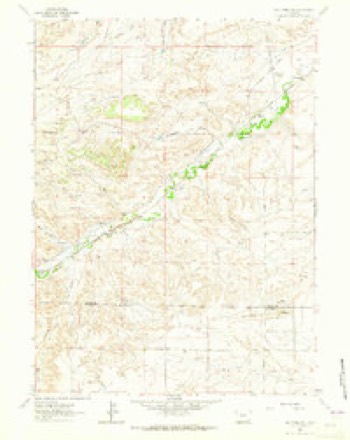
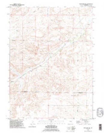
8 topographic sheets cover this place, the earliest surveyed in 1954 and the latest in 1990. It stands in the Chugwater census division. It lies in ZIP code area 82210. It lies near Mendenhal Draw. The Survey maps it on the Whitcomb Hill quadrangle.
Topographic sheets covering this place
4 surveys from 8 printed sheetsMatched by testing this settlement's coordinate against the published boundary of every sheet in the United States Geological Survey's historical collection. Each opens the scanned sheet at the Survey.
- 1954 USGS Cheyenne quadrangle1:250000, 3 printings
- 1958 USGS Cheyenne quadrangle1:250000, 2 printings
- 1962 USGS Whitcomb Hill quadrangle1:24000, 2 printings
- 1990 USGS Whitcomb Hill quadrangle1:24000
Fires near this place
5 since 2009Regional context, not property-specific evidence. The federal wildfire occurrence database lists 5 fires within 5 miles of Brinton between 2009 and 2020, burning about 194 acres in total. 2 started naturally. None was recorded as arson. Distance is straight-line from the map coordinates, so a fire counted here may appear on a neighbouring settlement's page as well.
| Reported cause | Fires |
|---|---|
| Natural | 2 |
| Missing data/not specified/undetermined | 2 |
| Equipment and vehicle use | 1 |
The most recent of them, most recent first, with the day each was reported and the service that recorded it.
| Date | Cause | Size | Reported by | Name on the report |
|---|---|---|---|---|
| 4 September 2020 | Missing data/not specified/undetermined | 130 acres | Platte County | RIFLE FIRE |
| 9 August 2016 | Missing data/not specified/undetermined | 1.0 acres | Wyoming State Forestry | not named |
| 18 August 2020 | Natural | 20 acres | Platte County | COW PATH |
| 15 August 2017 | Natural | 1.0 acres | Platte County | HAY FIRE |
| 16 March 2009 | Equipment and vehicle use | 42 acres | Wyoming State Forestry | not named |
Settlements close enough to share some of these fires:
Storms near this place
5 since 2016Regional context, not property-specific evidence. The National Weather Service names Brinton in 5 storm reports between 2016 and 2024: 2 flash flood, 2 hail, 1 tornado. No death or injury is recorded in these reports. Each account below is quoted exactly as the forecast office filed it, from the NOAA Storm Events Database, and each date opens the federal record of that event.
| When | Event | Place named | Harm | What the report says |
|---|---|---|---|---|
| June 2024 | Flash Flood | Brinton | - | A trained weather spotter provided video of water rapidly flowing over roadways and into nearby ditches between 5 and 7 miles S of Chugwater. |
| June 2024 | Hail | Brinton | - | The Chugwater Fire Department reported 1-inch diameter hail 5 miles S of Chugwater. |
| July 2019 | Tornado (EFU) | Brinton | - | A supercell thunderstorm first developed over far-east central Albany County near 3:45pm MDT. This storm moved east to east-southeast into Platte County near 4:15pm MDT with increasing signs of low-level rotation per KCYS radar. The storm continued east-southeast with weak low-level rotation and supportive reflectivity structure. A second Tornado Warning was issued at 4:57pm MDT. Numerous reports |of funnels from chasers and storm spotters were received just after 5pm MDT. Much stronger low-level rotation developed near 5:14pm MDT via KCYS radar with confirmed tornado touchdown occurring at 5:15pm MDT. The touchdown occurred 3 miles west of |Interstate 25 west of mile marker 49. The cone tornado was observed on the ground via live-stream, pictures, and video through numerous social media channels. Tornado remained west of Interstate 25 through the entirety of its life cycle as it roped out about 1 mile west of the interstate over open ranch land. Time of dissipation is near 5:30pm MDT. Despite extensive investigation along county roads, no damage targets|were able to be identified in the open ranch land and thus an unknown EF rating was assigned. |
| August 2016 | Flash Flood | Brinton | - | Flash flooding closed Interstate 25 between mile posts 45 and 47. |
| July 2018 | Hail | Brinton | - | no account filed |
Nearest settlements
The eight closest, with where each one stands in the county. Distances are straight-line, computed from the Geographic Names Information System coordinates.
Provenance
This settlement is recorded in the Geographic Names Information System as feature 1597230. The sheet list is computed by point-in-boundary test against the United States Geological Survey's historical topographic inventory. Both are works of the United States government and carry no copyright under 17 U.S.C. 105.
Wildfire. Short, Karen C. 2022. Spatial wildfire occurrence data for the United States, 1992-2020 [FPA_FOD_20221014]. 6th Edition. Fort Collins, CO: Forest Service Research Data Archive. https://doi.org/10.2737/RDS-2013-0009.6 Collected with United States Government funding and usable without additional permissions or fees.
Storms. NOAA National Centers for Environmental Information, Storm Events Database https://www.ncei.noaa.gov/stormevents/ A work of the United States government, no copyright under 17 U.S.C. 105. Narratives are quoted verbatim from the National Weather Service report and are not edited or summarised.