 Block
From the record
One of 36 National Register listings published here for Natrona County · listed in 1976 · category: Site.
Sources: the case file at the National Archives · the National Register database, National Park Service · the Wikipedia article
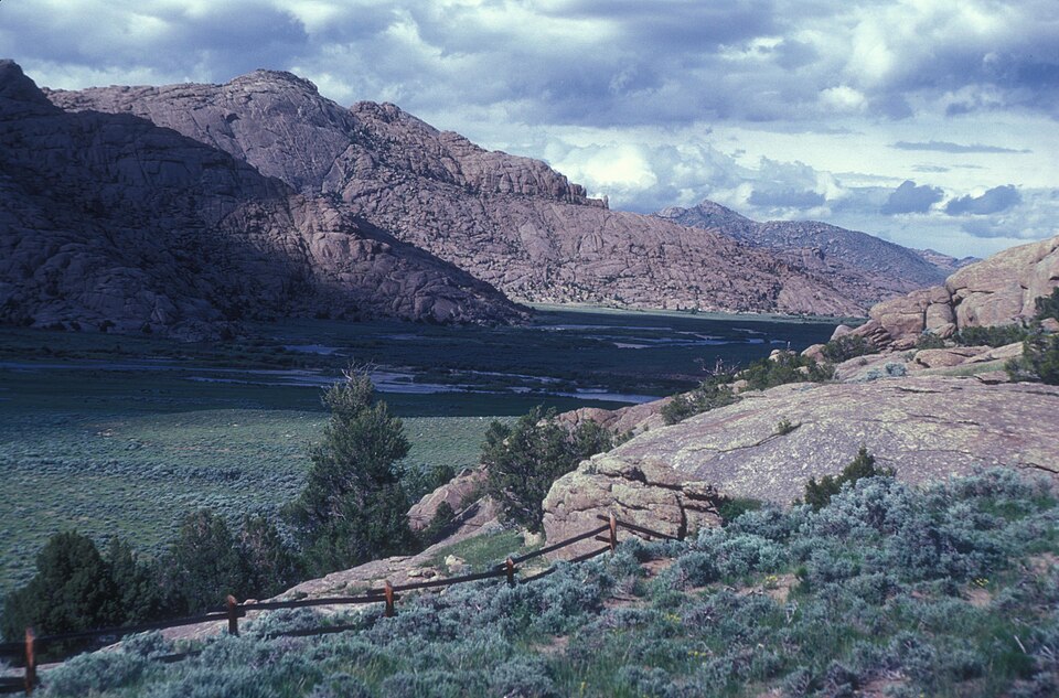
Listed on the National Register of Historic Places in 1976.
One of 36 National Register listings published here for Natrona County · listed in 1976 · category: Site.
Sources: the case file at the National Archives · the National Register database, National Park Service · the Wikipedia article
Regional context, not property-specific evidence. The federal wildfire occurrence database lists 13 fires within 5 miles of Split Rock, Twin Peaks between 1996 and 2020, burning about 156 acres in total. 8 started naturally. None was recorded as arson. Distance is straight-line from the map coordinates, so a fire counted here may appear on a neighbouring settlement's page as well.
| Reported cause | Fires |
|---|---|
| Natural | 8 |
| Missing data/not specified/undetermined | 2 |
| Fireworks | 1 |
| Power generation/transmission/distribution | 1 |
| Recreation and ceremony | 1 |
The most recent of them, most recent first, with the day each was reported and the service that recorded it.
| Date | Cause | Size | Reported by | Name on the report |
|---|---|---|---|---|
| 19 August 1996 | Fireworks | under an acre | Rawlins Field Office | DRY DRAW |
| 15 August 2000 | Natural | under an acre | Rawlins Field Office | BAJA |
| 14 August 2018 | Natural | 2.6 acres | Lander Field Office | SPLIT ROCK |
| 7 July 2017 | Natural | 18 acres | Casper Field Office | BEATON POCKET |
| 6 July 2001 | Natural | under an acre | Rawlins Field Office | SWEETWATER |
| 27 July 2004 | Natural | under an acre | Lander Field Office | LANKIN |
| 26 July 2004 | Natural | under an acre | Lander Field Office | VICE |
| 20 July 2017 | Missing data/not specified/undetermined | under an acre | Casper Field Office | CROSS 2 |
Regional context, not property-specific evidence. The federal mineral resources record lists 5 workings within 5 miles of Split Rock, Twin Peaks: 5 unknowns. None of them still produces. What was taken out: Pumice, Zeolites, Uranium. Distance is straight-line from the map coordinates, so a quarry counted here may appear on a neighbouring settlement's page as well.
| Where | Site | Commodity | Status | Recorded |
|---|---|---|---|---|
| Split Rock Mine | Uranium | Unknown | ||
| Unknown | Zeolites | Unknown | ||
| Split Rock Area | Pumice | Unknown | ||
| Split Rock Area #1 | Pumice | Unknown | ||
| Split Rock Area #2 | Pumice | Unknown |
No historic map-sheet match is published for this property yet. That does not mean no map exists. This record needs a coordinate-quality review before it can be joined to a sheet boundary. Browse the county's mapped places while that work is pending.
| National Archives record | The nomination case file for reference 76001959 in Record Group 79. |
| Wikipedia article | Community-written account of this property, licensed CC BY-SA. |
| Natrona County | All 36 listed properties in this county. |