 Block
From the record
5 National Register listings published here.
Sources: the National Register database, National Park Service
134 topographic sheets and 2 fire insurance atlases across 1 place.
5 National Register listings published here.
Sources: the National Register database, National Park Service
Taken for the Office of War Information and the Farm Security Administration, who photographed the country between 1935 and 1944. Works of United States government photographers, with no known restriction on use. Each opens its catalogue record.
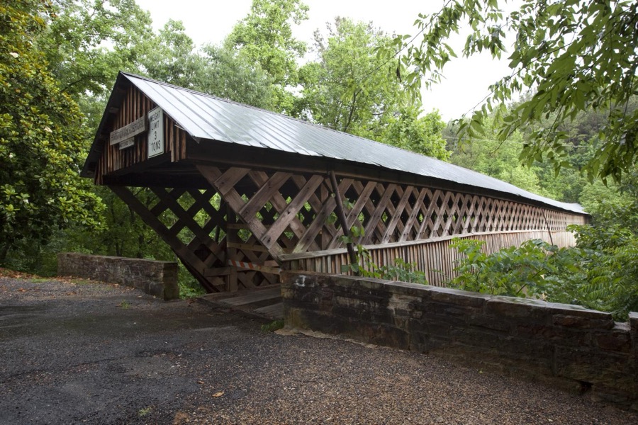
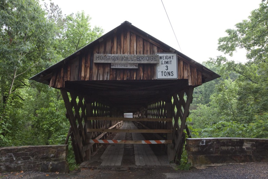
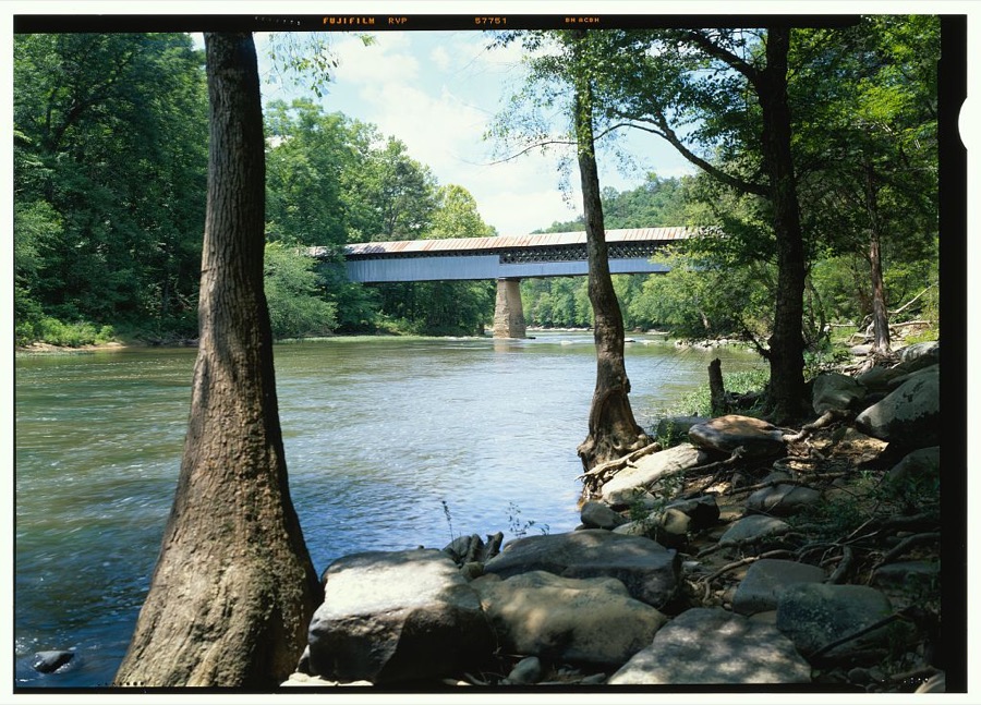
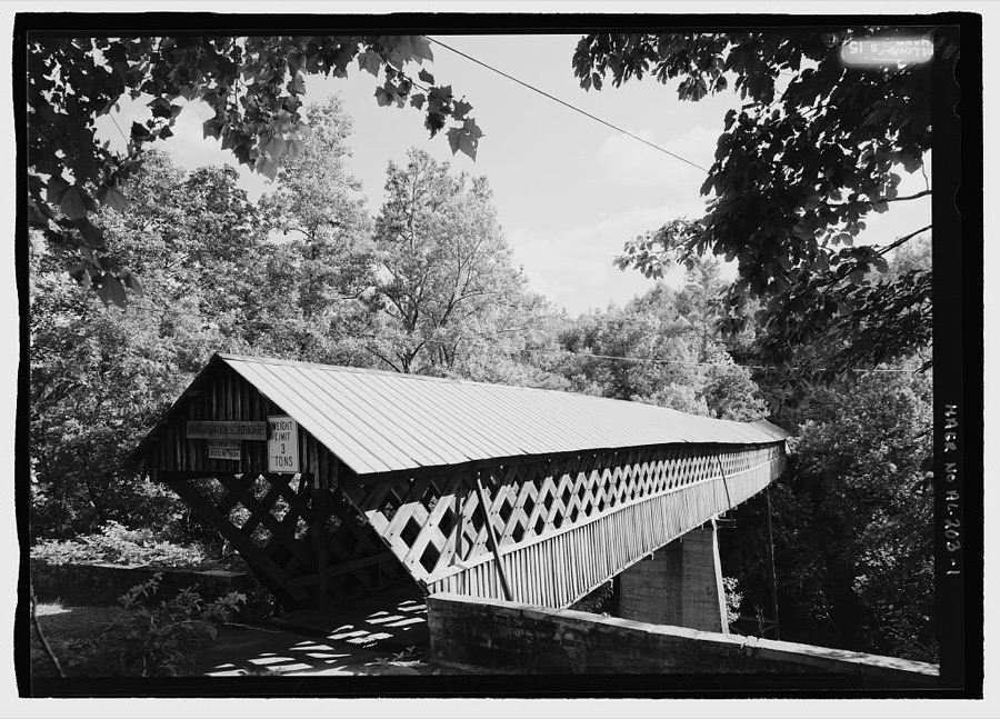
Every property in this county listed on the National Register of Historic Places, with the year it was listed and the federal nomination document.
| Photograph | Property | Type | Listed | Reference |
|---|---|---|---|---|
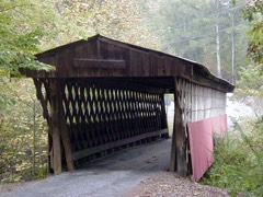 | Easley Covered Bridge | structure | 1981 | 81000125 |
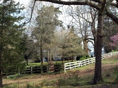 | Robert G. Griffith Sr. House | building | 2000 | 00000143 |
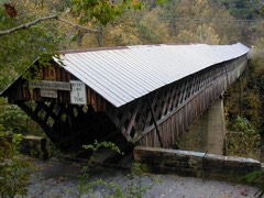 | Horton Mill Covered Bridge | structure | 1970 | 70000099 |
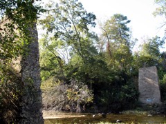 | Nectar Covered Bridge | structure | 1981 | 81000124 |
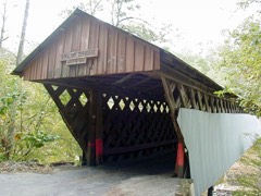 | Swann Covered Bridge | structure | 1981 | 81000123 |
Blount County has 4 covered bridges on the National Register. Each is a listed structure with a federal nomination on file.
| Easley Covered Bridge | Listed 1981 |
| Horton Mill Covered Bridge | Listed 1970 |
| Nectar Covered Bridge | Listed 1981 |
| Swann Covered Bridge | Listed 1981 |
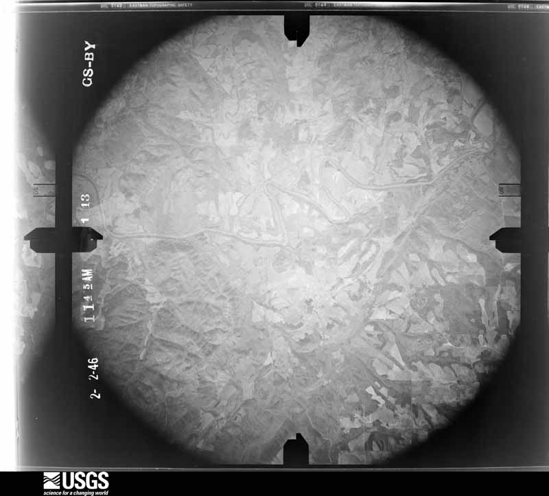
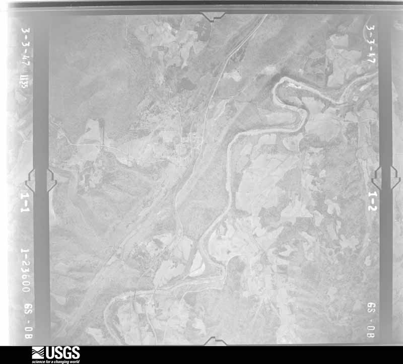
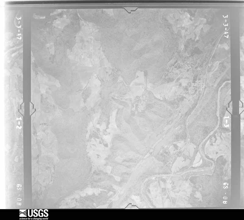
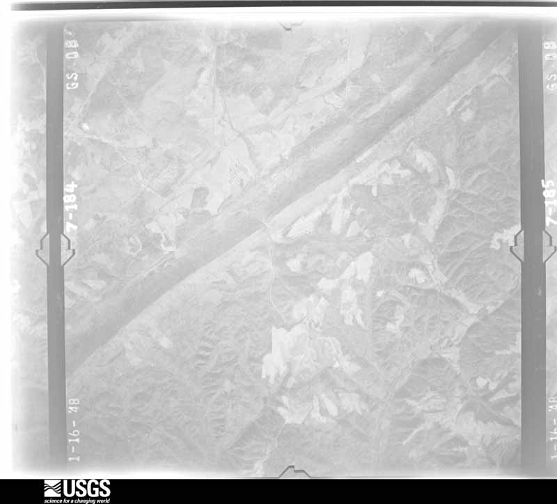
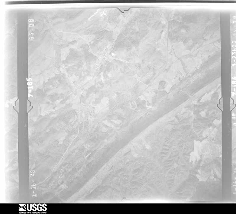
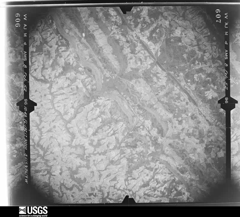
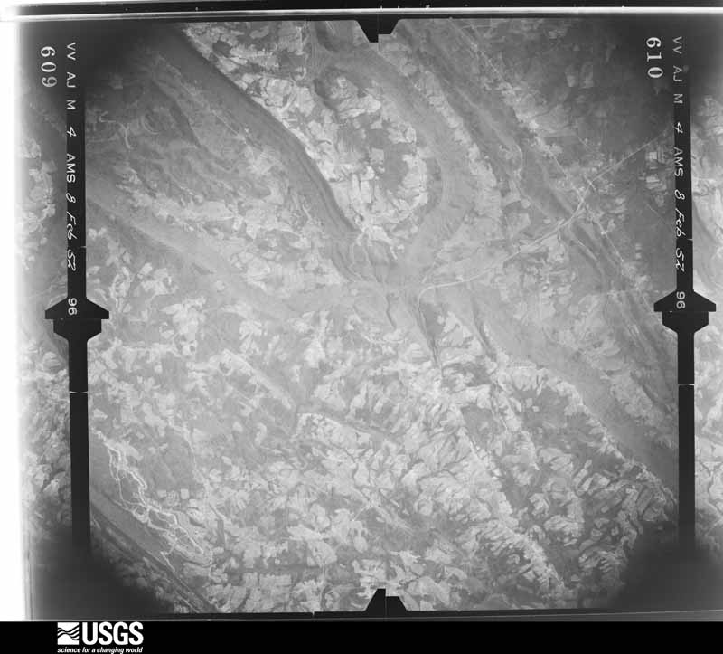
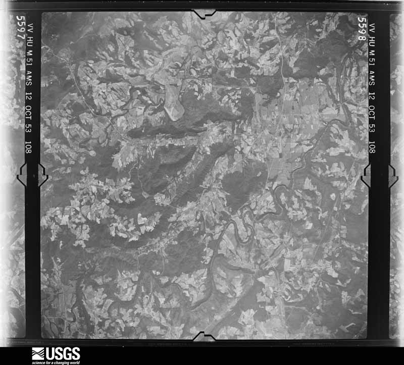
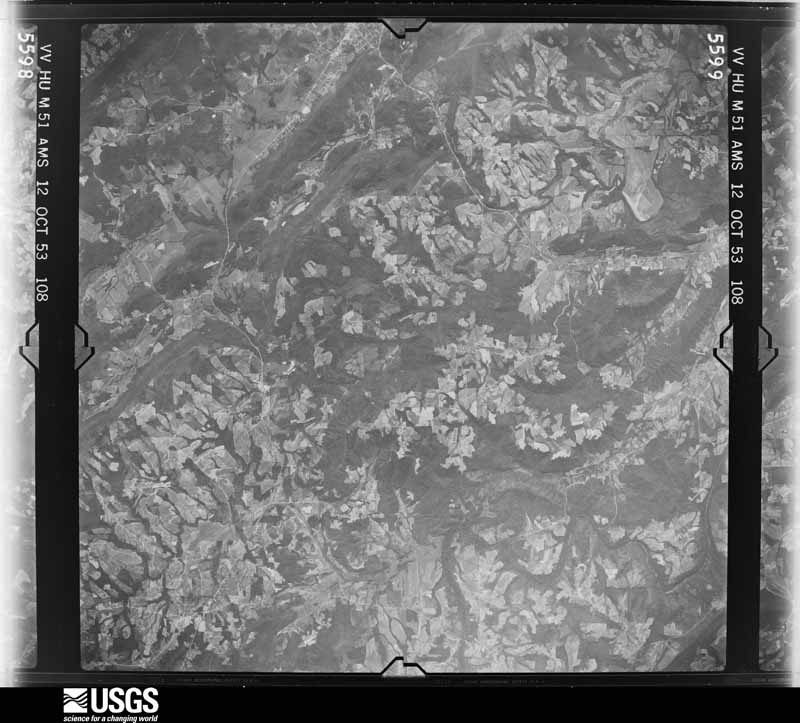
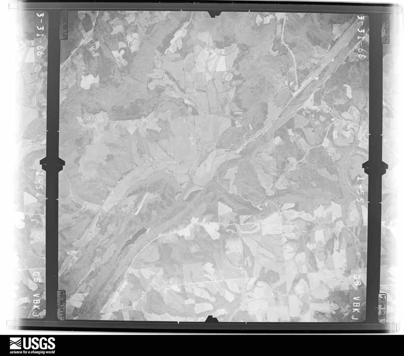
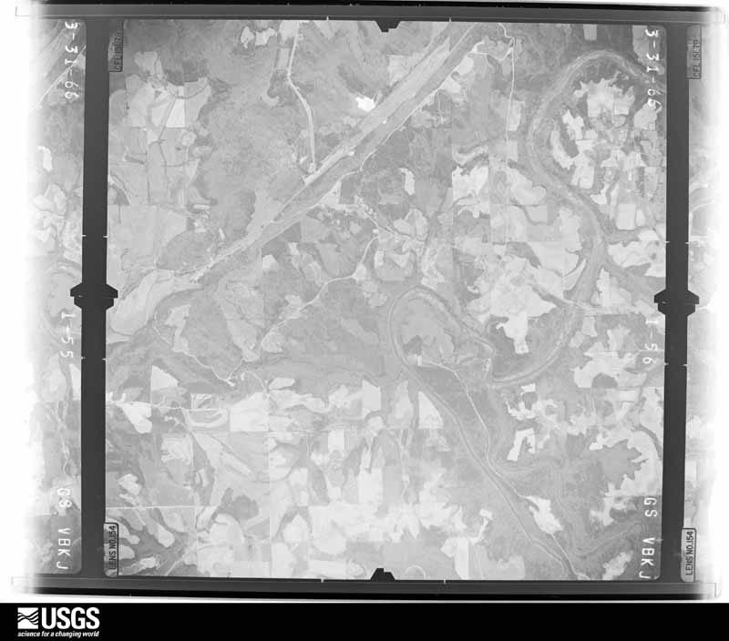
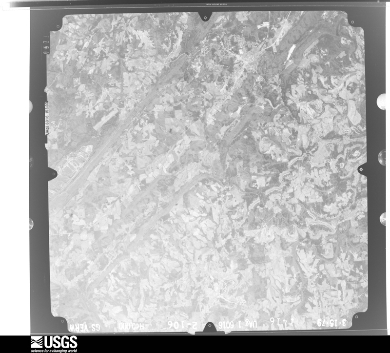
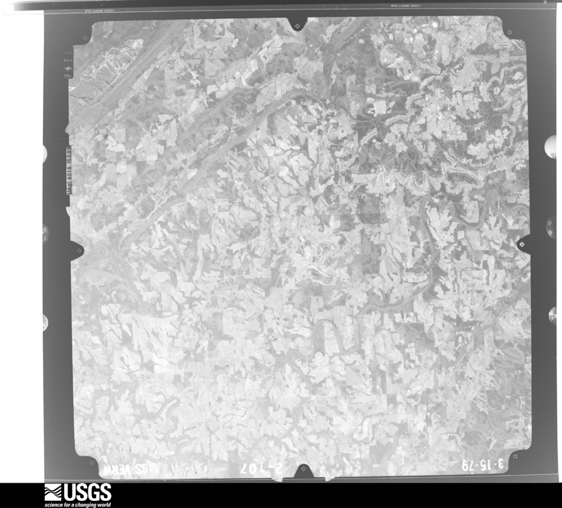
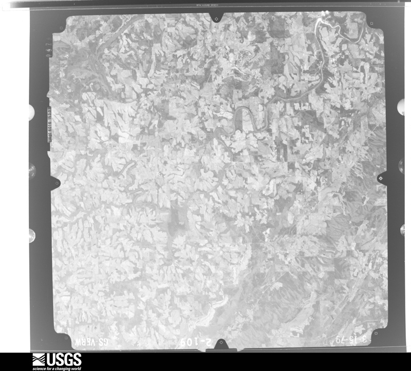
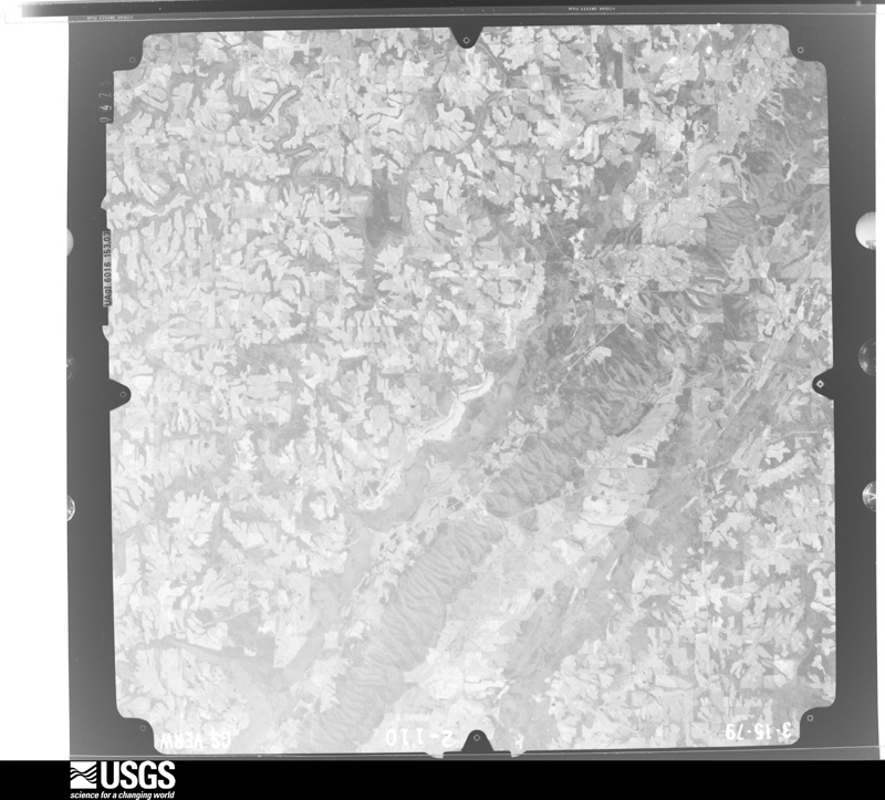
Flown by the U.S. Geological Survey between 1937 and 1989, the Aerial Photo Single Frames collection is the definitive mid-century view of the land: fields, roads and rivers as the camera saw them. The Survey holds 957 frames inside the rectangle that bounds this county; the 42 frames below were taken over the county itself, chosen across the decades of flights (at most four a year from that rectangle), so one flight cannot crowd out the rest. The full set is free to browse and download at EarthExplorer under the dataset Aerial Photo Single Frames.
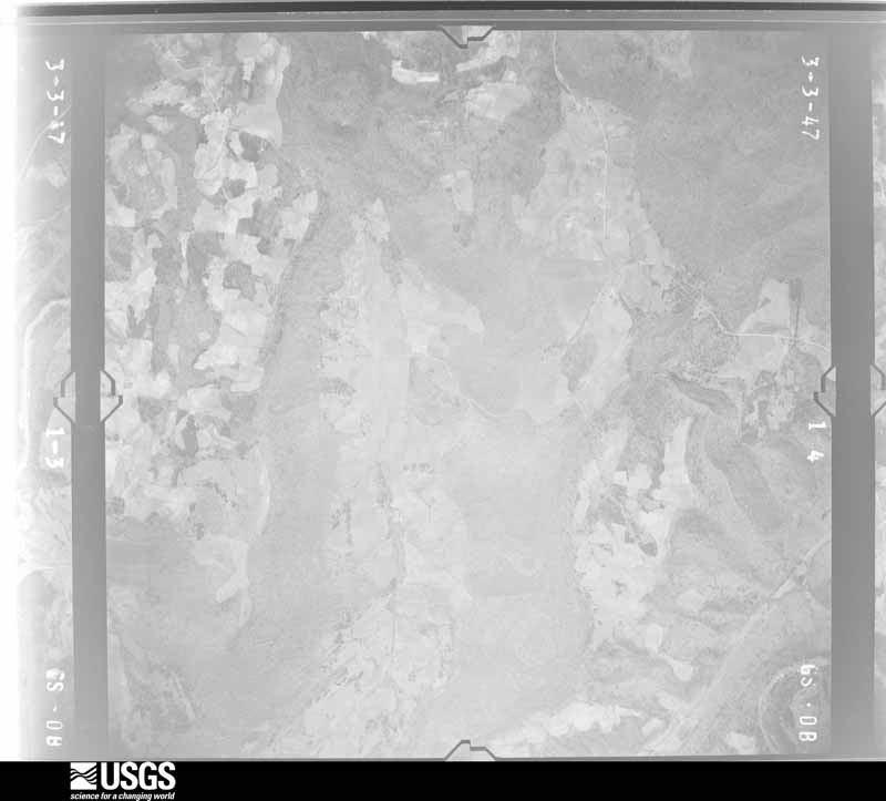
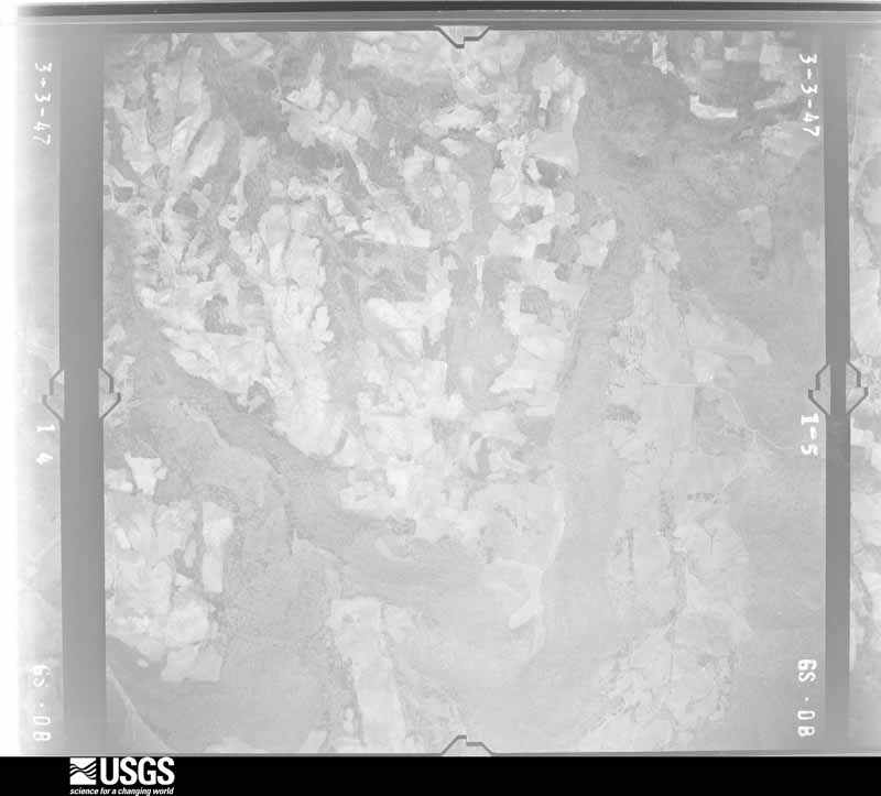
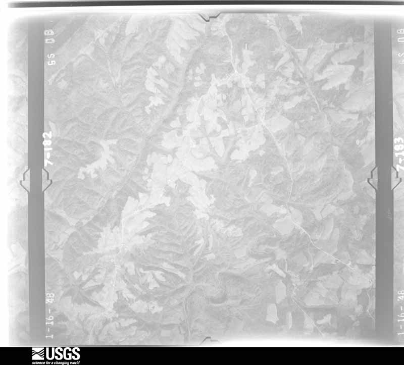
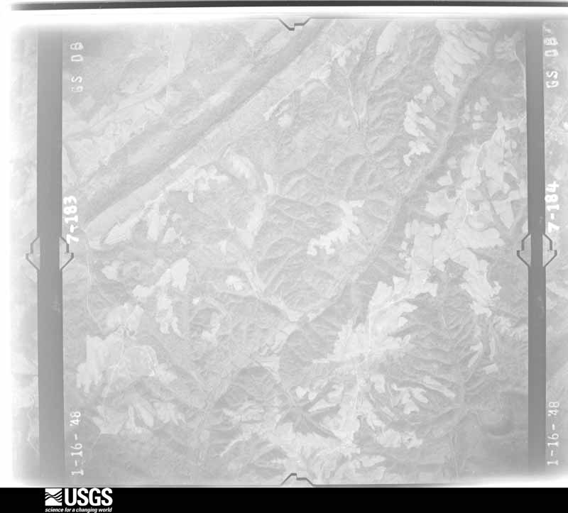
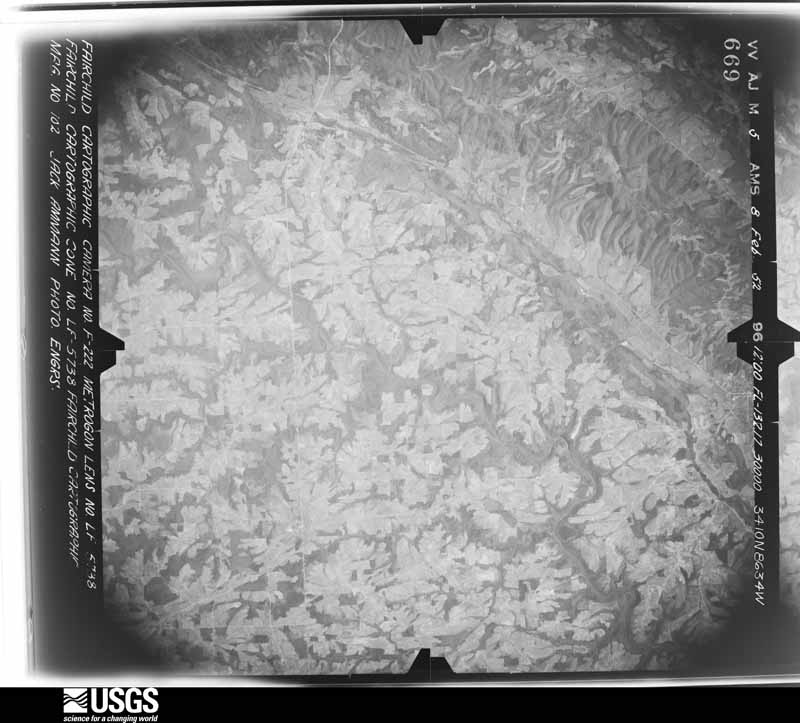
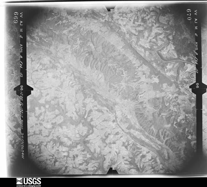
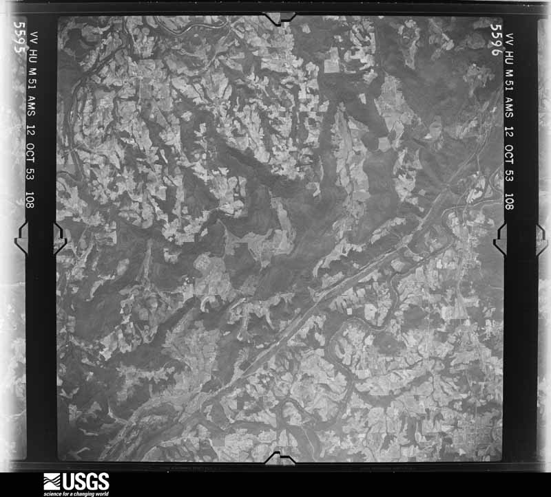
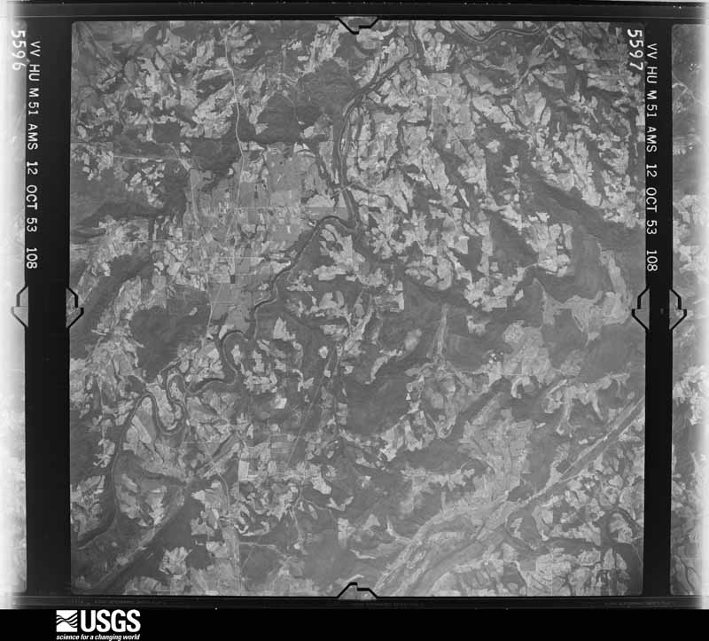
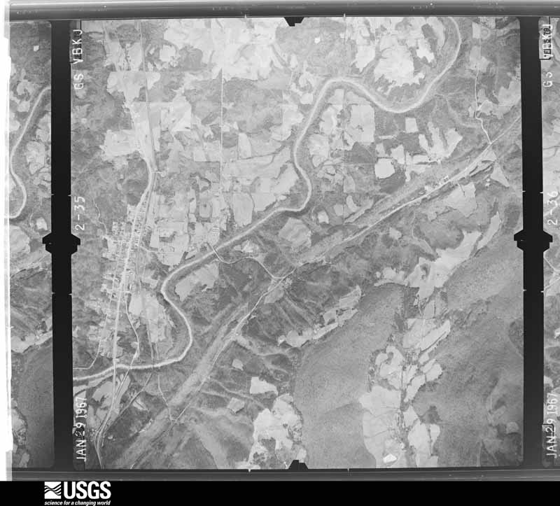
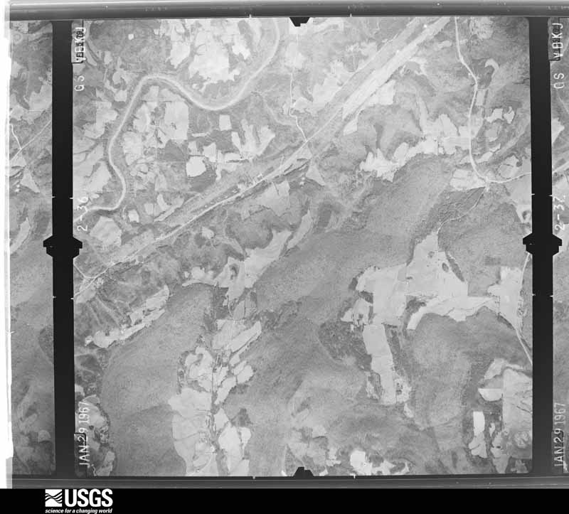
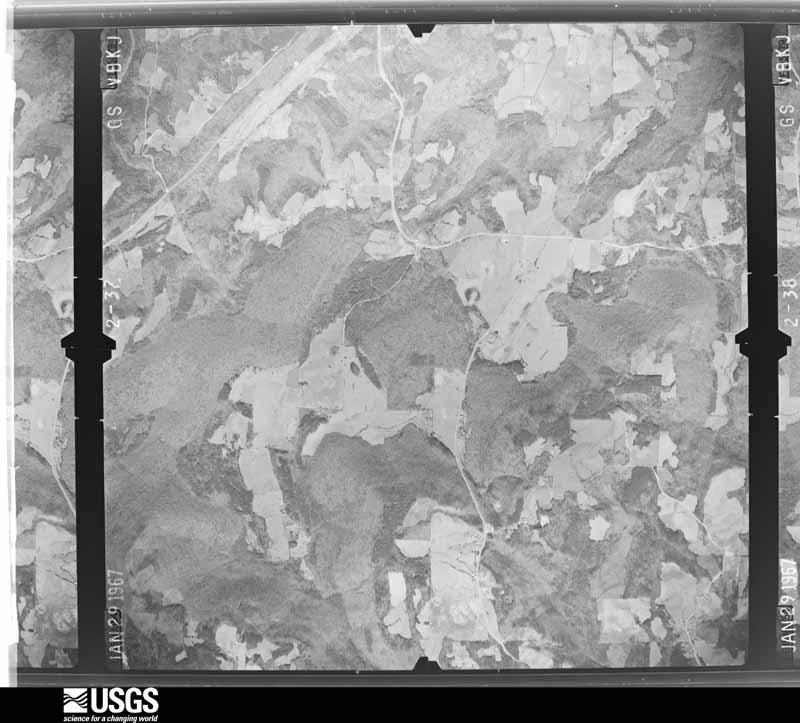
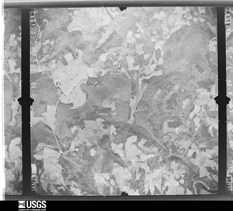
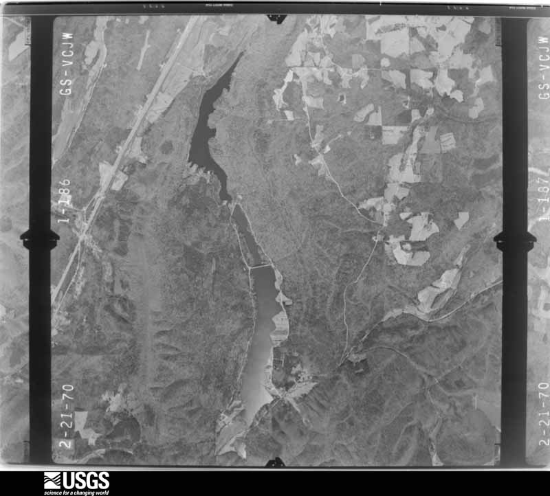
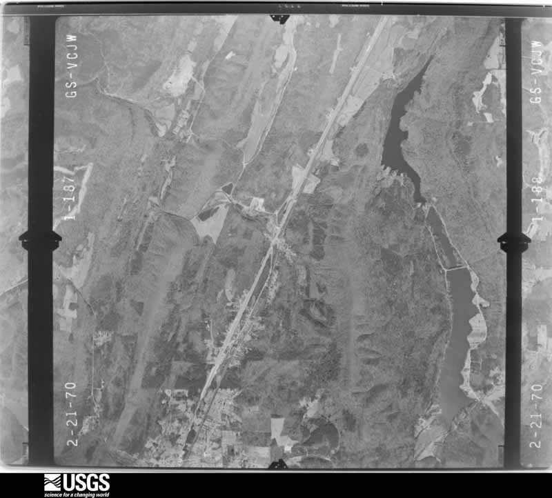
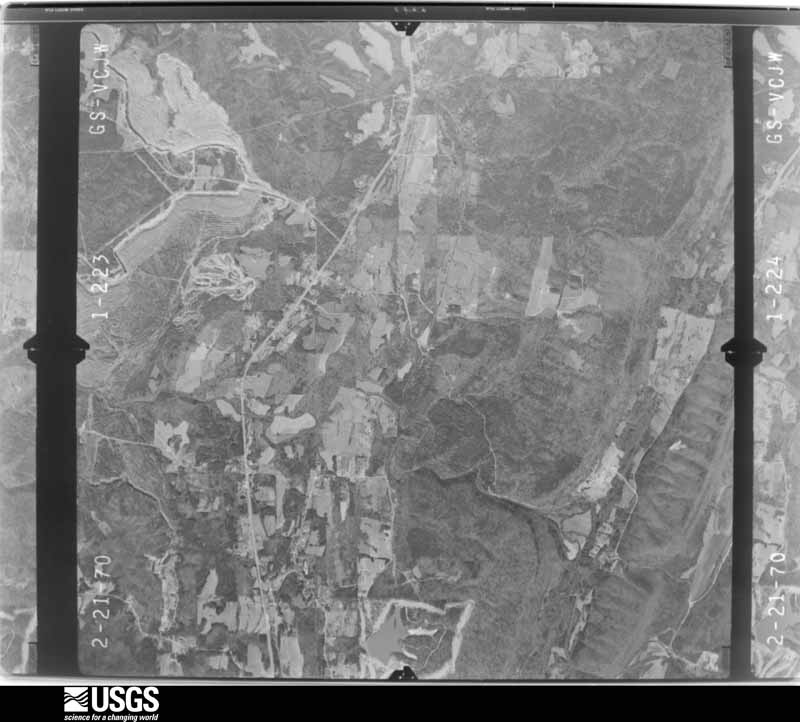
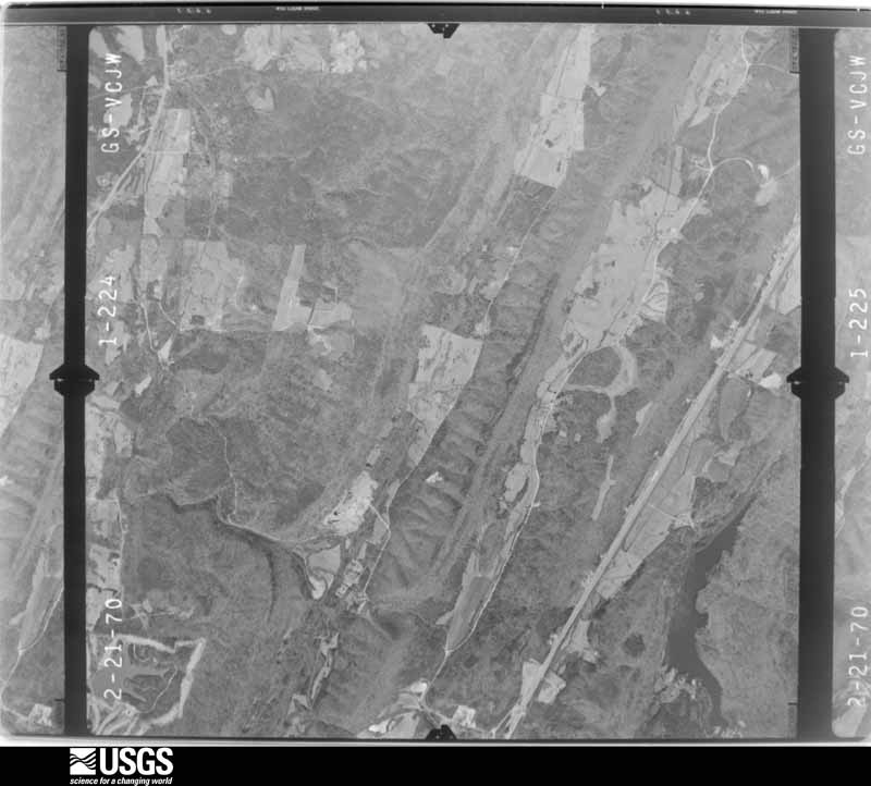
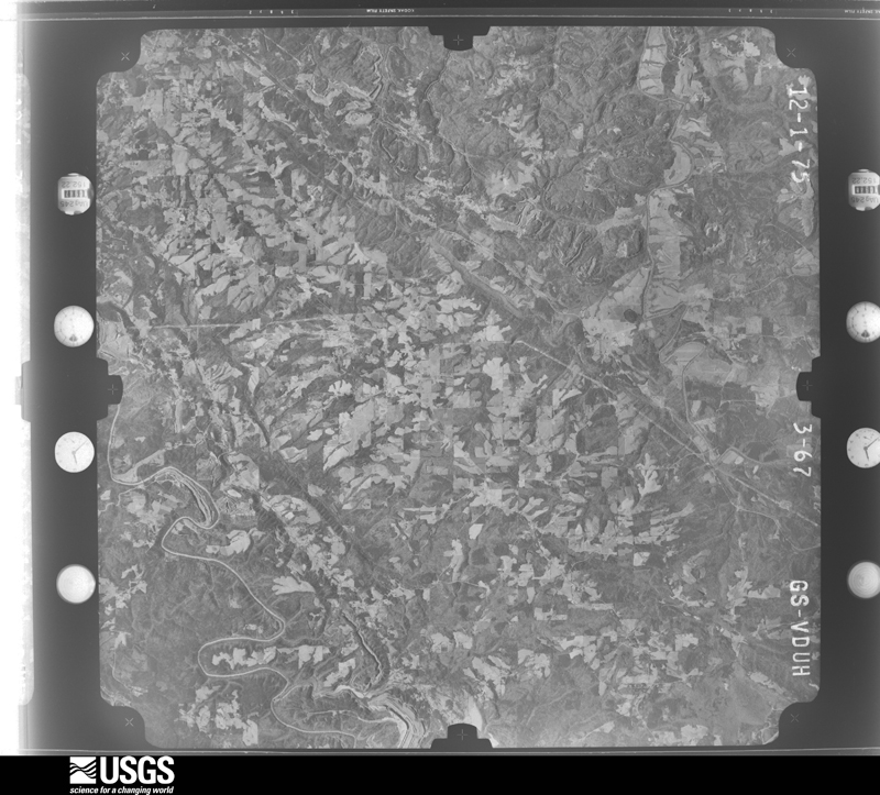
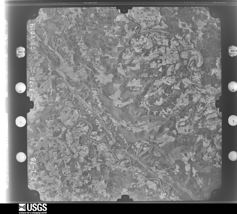
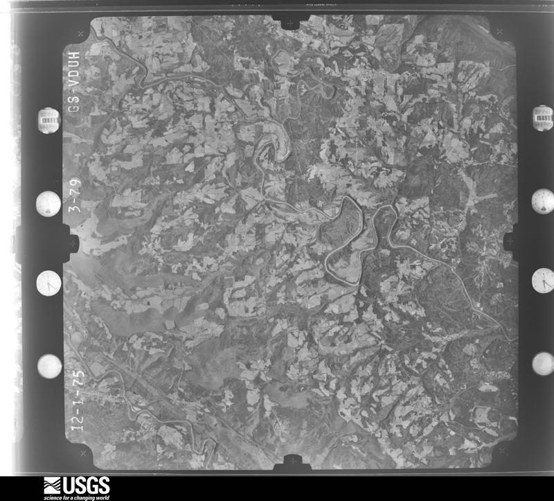
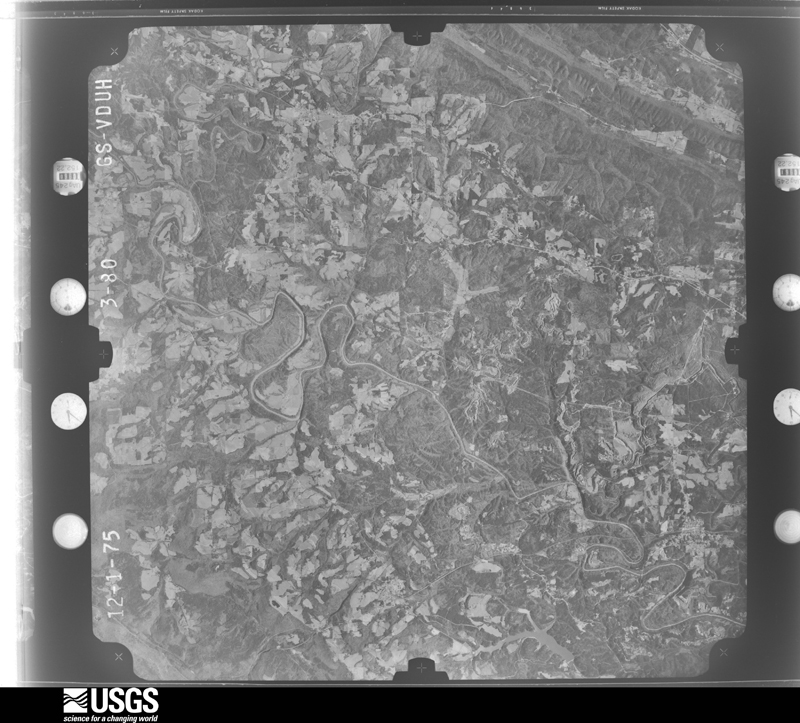



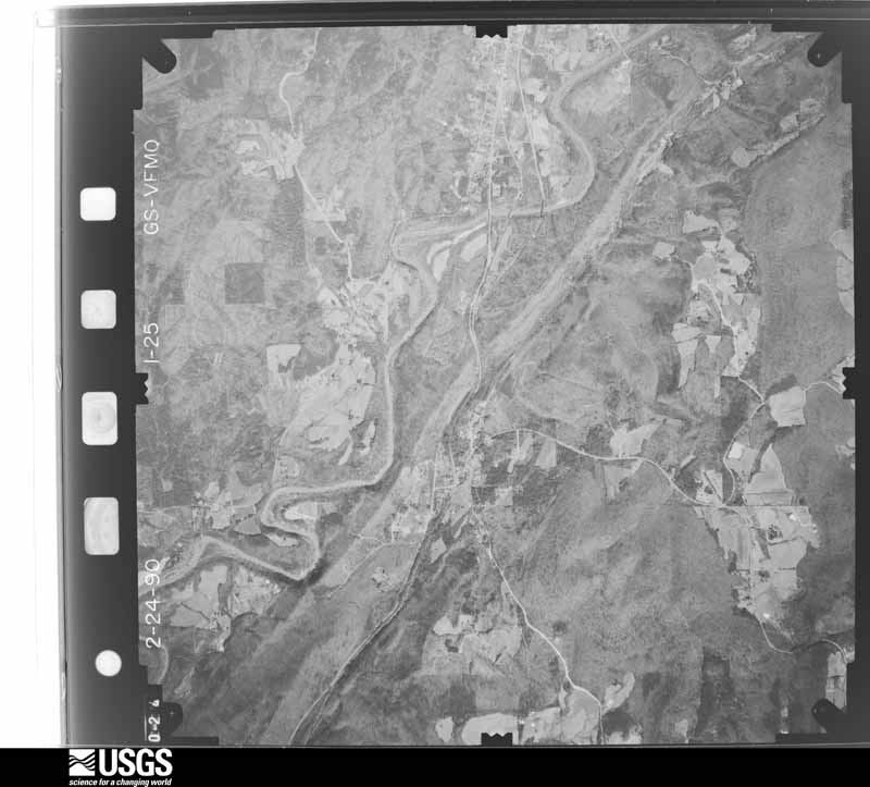
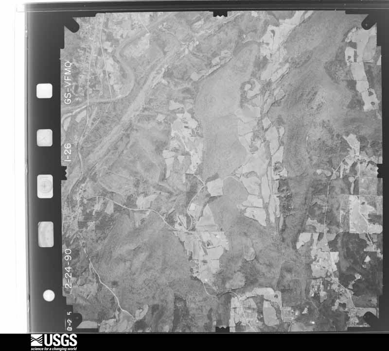
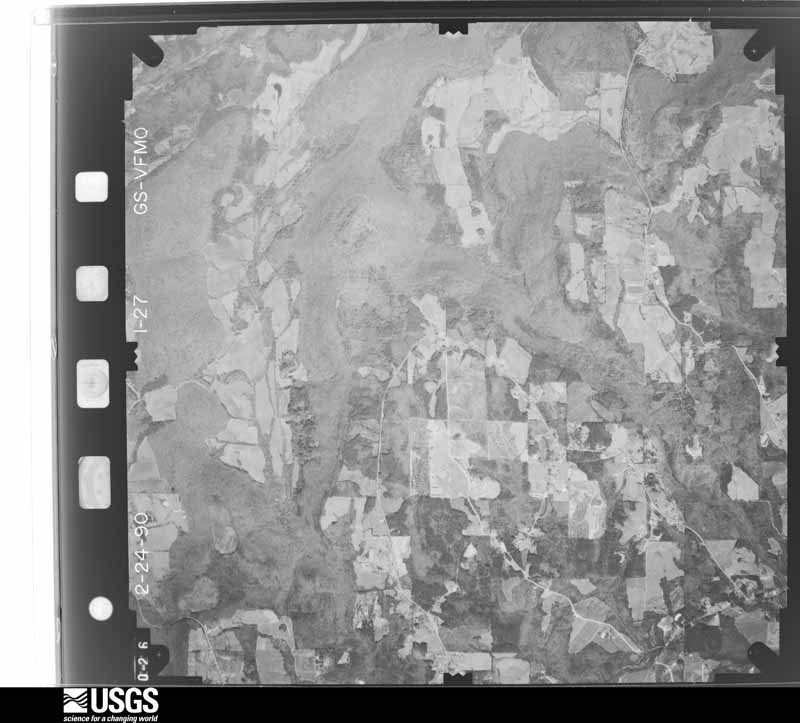
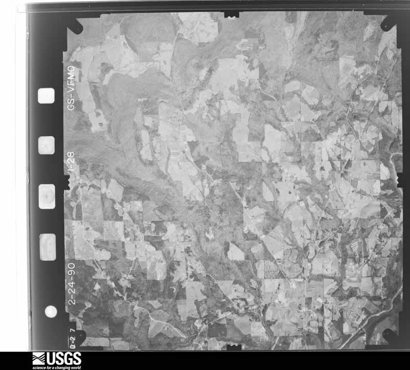
The thermometers that kept this county's weather, and the gages that measured the flow of its streams, as the federal records hold them. The extremes below are measured values from those records, not estimates.
Who lived here in 1950, one enumeration district at a time, as the Census Bureau described each district. Each row opens its official National Archives result, with Population Schedules and ED Maps available there.
Every wildfire the federal occurrence database records inside this county: 958 of them, burning about 9,136 acres. 11 started naturally and 154 were recorded as arson. Each settlement page carries the fires within five miles of it.
| Reported cause | Fires |
|---|---|
| Debris and open burning | 392 |
| Missing data/not specified/undetermined | 238 |
| Arson/incendiarism | 154 |
| Recreation and ceremony | 76 |
| Equipment and vehicle use | 47 |
| Smoking | 19 |
| Natural | 11 |
| Railroad operations and maintenance | 9 |
| Misuse of fire by a minor | 8 |
| Power generation/transmission/distribution | 3 |
| Fireworks | 1 |
The five largest, by the area the report gives. Five of them were set deliberately.
| Date | Cause | Size | Reported by | Name on the report |
|---|---|---|---|---|
| 23 November 2016 | Arson/incendiarism | 450 acres | Alabama Forestry Commission | 20161123-43 |
| 7 November 2016 | Arson/incendiarism | 357 acres | Alabama Forestry Commission | 20161107-3 |
| 16 August 2000 | Equipment and vehicle use | 220 acres | Alabama Forestry Commission | not named |
| 23 October 2010 | Debris and open burning | 158 acres | Alabama Forestry Commission | THE BROOM II FIRE |
| 11 April 1999 | Arson/incendiarism | 140 acres | Alabama Forestry Commission | not named |
| 7 April 2006 | Arson/incendiarism | 100 acres | Alabama Forestry Commission | not named |
| 20 August 2000 | Missing data/not specified/undetermined | 100 acres | Alabama Forestry Commission | not named |
| 17 March 2006 | Arson/incendiarism | 95 acres | Alabama Forestry Commission | not named |
Every settlement page carries the fires within five miles of it - see the settlement index below.
The NOAA Storm Events Database holds 565 reports for this county, causing 4 deaths, 105 injuries and about $35,786,500 in recorded property damage. Each settlement page carries the reports that name it.
| Kind of event | Reports |
|---|---|
| Thunderstorm Wind | 320 |
| Hail | 124 |
| Tornado | 60 |
| Flash Flood | 39 |
| Lightning | 11 |
| Flood | 7 |
| Heavy Rain | 2 |
| Funnel Cloud | 1 |
| Heavy Snow | 1 |
The most serious of them, by death, then injury, then recorded damage. The accounts are quoted exactly as the forecast office filed them.
| When | Event | Place named | Harm | What the report says |
|---|---|---|---|---|
| November 1957 | Tornado (F4) | not stated | 3 killed, 6 hurt, $250,000 | no account filed |
| July 2002 | Lightning | Oneonta | 1 killed | A two-year-old boy was struck by lightning and eventually died from the injuries. The injury occurred as the boy was outside helping his family in the garden about 4.5 miles west of Oneonta. |
| November 2001 | Tornado (F4) | Oneonta | 22 hurt, $800,000 | no account filed |
| August 2018 | Thunderstorm Wind | Hayden | 12 hurt | A large tent collapsed at an outdoor event at Traditions Park at Hayden due to wind. There were approximately 150 people inside the tent with 12 injuries reported. A survey team from the NWS office in Birmingham reported that the winds were likely sub-severe. |
| March 1976 | Tornado (F3) | not stated | 11 hurt, $250,000 | no account filed |
| April 1974 | Tornado (F2) | not stated | 11 hurt, $250,000 | no account filed |
| April 2011 | Tornado (EF3) | Bangor | 10 hurt, $19,500,000 | The fourteenth segment of this long track tornado crossed back over the Mulberry Fork of the Black Warrior River from eastern Cullman County (See Storm Data for Huntsville) into western Blount County southwest of Bangor. This tornado began in Pickens County, 5 miles northeast of Pickensville, and tracked through Tuscaloosa, Fayette, Walker, Cullman (See Storm Data for Huntsville), and Blount Counties, before dissipating in Marshall (See Storm Data for Huntsville) County. As the tornado moved northeast, the path width gradually increased from 0.25 mi (440 yds) to a maximum of 0.70 mi (1232 yds) in Blountsville. The tornado continued its path of significant tree damage as it crossed US Hwy 31 and moved northeast toward Blountsville, strengthening to an EF2 rating, with winds of 130 mph. As the tornado crossed US Hwy 431, multiple well built brick and slab foundation homes were damaged on Maple Drive, one of which had only interior walls left standing. Several other outbuildings were also destroyed. As the storm continued to the northeast of Blountsville, it strengthened further to an EF3 rating, with winds of 145 mph. A home near Osborne Lake, south of Blue Springs, was left with only interior walls standing. The tornado continued northeast and damaged hundreds of trees. Just northeast of US Hwy 278, a single family home was destroyed and a dump truck was thrown at least 30 ft. The tornado continued to cause significant tree damage as it neared the Marshall County line east of Nesmith Rd and south of CR 25, in northern Blount County. |
| November 1994 | Tornado (F1) | Cleveland | 5 hurt, $500,000 | A tornado produced a damage path 1.6 miles in length and about 100 yards wide on a northeasterly track. The first damage occurred about 1 miles east of Cleveland in central Blount County. After damaging or destroying several mobile homes and a couple of permanent structures, the tornado crossed U. S. Highway 231 and continued northeast damaging several more structures and another mobile home. All five injuries occurred in mobile homes, three in one and two in another. Injuries to one man required 100 stitches. |
| April 2011 | Tornado (EF2) | Nyota | 3 hurt, $4,000,000 | A tornado developed along a Quasi-Linear Convective System. It initially touched down in far northern Jefferson County, northeast of Warrior, and tracked northeastward into Blount County and across the western bank of Mountain Woods Lake before it lifted northeast of Sagefield Rd. As the tornado moved into Blount County near Sibleyville Rd, it intensified to an EF2 rating with winds of 135 mph. An outbuilding was destroyed and many trees downed near the county line. The tornado continued northeast, before making a slight eastward turn and moving along the western edge of Mountain Woods Lake. Along the lake, twenty to twenty-five homes were damaged with at least 3 homes destroyed. Three injuries occurred while a family was sheltered in their home, which was destroyed. In addition, multiple boat docks and garages were damaged or destroyed. Along the portion of the path in Blount County, hundreds of trees were snapped or uprooted. |
| February 1952 | Tornado (F1) | not stated | 3 hurt, $2,500,000 | no account filed |
| September 2006 | Tornado (F2) | Allgood | 3 hurt, $1,500,000 | The tornado touched down just southwest of the Allgood community, north of Highway 75. The tornado then tracked northeastward, remaining north of Highway 75 the entire time. It dissipated in the city of Oneonta, just north of the Blount County Courthouse near 7th Street. Numerous trees and power lines were blown down along the tornado path. Oneonta High School suffered significant damage to its football field press box, and two concession stands were destroyed. The high school structure also sustained roof damage. The Blount County Courthouse sustained roof damage and many flagpoles were broken down. Several homes and out-buildings received major damage and a local gas station had its canopy blown off. Three people were injured as the tornado moved through, one seriously. |
| March 1975 | Tornado (F1) | not stated | 3 hurt, $25,000 | no account filed |
| June 2009 | Thunderstorm Wind | Wynnville | 2 hurt, $30,000 | A mobile home was blown off its foundation, in the Wynville community. Two occupants were briefly trapped and sustained unspecified injuries. |
| April 2014 | Tornado (EF2) | Inland Jct | 2 hurt | The tornado strengthened as it moved into southeast Blount County, near Golden Lake, and tracked along County Road 24. Some of the most extensive damage occurred just north of Pine Mountain Road, where winds were estimated at 130 mph. At this location, a home that was under construction but almost completely finished, was swept off its foundation and thrown about 50 yards into a lake. A small utility trailer was also thrown about 25 to 50 yards. Dozens of trees were either snapped or uprooted as well. The tornado tracked northeast, parallel to Inland Lake, snapping and uprooting thousands of trees and causing significant damage to two homes on Pine Mountain Rd near Cut Off Rd. A single wide and double wide manufactured home were completely destroyed on Dumas Bridge Road, and at this location there were two injuries. The tornado continued northeastward and crossed Highland Lake with a width of 1000 yds, snapping or uprooting every tree in its path. On the shores of the lake, several homes received major damage directly from tornadic winds. On Echo Lane, a well-built single family home had its roof completely removed, while 2-by-6 exterior walls remained standing, and non-load bearing walls were buckled. The neighboring home also had its roof torn off with some exterior walls collapsed. A three story home across the slough had major structural damage and was partially shifted off its foundation. Along the north shore of Highland Lake, the tornado continued snapping and uprooting trees, and damaging several more homes. The tornado weaken slightly as it crossed County Road 29 and Rogers Rd, with tree damage becoming more sporadic. However, several homes sustained significant damage in these locations. The tornado took a slight turn to the right and continued to weaken as it crossed County Road 20 and U.S. Highway 231. Northeast of U.S. Highway 231, six chicken barns were destroyed along Montgomery Drive. The tornado narrowed and lifted northeast of Hutchins Drive near the Blount and Etowah County line. |
| February 1994 | Thunderstorm Wind | not stated | 2 hurt | Straight-line winds destroyed a mobile home in Cleveland. Two occupants were slightly injured. |
| December 1985 | Thunderstorm Wind | not stated | 2 hurt | no account filed |
| March 1994 | Tornado (F0) | Nectar | 1 hurt, $500,000 | A tornado was reported in the Sugar Creek Community about three miles southwest of Nectar along Alabama 160. The storm damaged six homes, downed power lines and trees, and destroyed three greenhouses and damaged a fourth. |
| February 1999 | Tornado (F2) | Nector | 1 hurt, $85,000 | A brief tornado occurred about 3.5 miles northwest of Locust Fork around 7:15 pm. The tornado crossed County Road 13 moving in a northerly direction. Two large metal barns were demolished, a sturdy brick home lost a portion of its roof, and a small wood frame house was completely deroofed. One minor injury occurred in the wood frame house. Several large hay bales were strewn across CR 13 and two vehicles were nearly blown off the road. Numerous trees in the area were uprooted or snapped off. |
| July 2000 | Thunderstorm Wind | Countywide | 1 hurt, $30,000 | Numerous trees and power lines were knocked down throughout Blount County. One man was slightly injured when his truck was overturned by the wind along SR 160 between Hayden and Interstate 65. One house caught on fire east of Susan Moore with only minor damage reported. The fire was caused by downed power lines. |
| January 1953 | Tornado | not stated | 1 hurt, $25,000 | no account filed |
| April 2001 | Lightning | Hayden | 1 hurt, $5,000 | A man working on the roof of his house was injured by lightning. |
| November 1951 | Tornado (F2) | not stated | 1 hurt, $2,500 | no account filed |
| April 1991 | Thunderstorm Wind | not stated | 1 hurt | no account filed |
| October 1990 | Thunderstorm Wind | not stated | 1 hurt | no account filed |
| March 2008 | Tornado (EF2) | Mattawana | $960,000 | The tornado touched down just east of CR-27, about 5 miles south-southeast of Oneonta. It then moved north of River Road, through the Highland Lake community, and across CR-29 near the Appalachian Community. The Appalachian School property sustained damage, but the school was spared any significant damage. The tornado continued northeastward and strengthened as it nearly paralleled CR-12, before lifting just north of the intersection of CR-12 and US-231. Along the entire path, several hundred trees were either snapped off or were uprooted. A few dozen chicken houses were damaged and many were destroyed. Many outbuildings, garages, and sheds were destroyed. At least 25 homes sustained major damage, and another few dozen received minor damage. At least one mobile home was destroyed and a few more were damaged. At least 6 cows and hundreds of chickens were killed by flying debris. In some instances, the roof debris from damaged structures was blown over one half mile downstream. A few feed silos were tipped over and one rolled at least one half mile. |
| April 2011 | Tornado (EF2) | Blount Spgs | $480,000 | The eighth segment of this long track tornado entered southwestern Blount County just north of Albright Rd from southern Cullman County (See Storm Data for Huntsville). This tornado began in Pickens County, 5 miles northeast of Pickensville, and tracked through Tuscaloosa, Fayette, Walker, Cullman (See Storm Data for Huntsville), and Blount Counties, before dissipating in Marshall (See Storm Data for Huntsville) County. While the average path width of this tornado in this portion of Blount County was around 0.4 mile (704 yds), the tornado maximum path width was 0.5 mile (880 yds). As the storm moved northeast, it caused significant roof damage to a single family home on Acton Bend Circle consistent with an EF2 rating and winds of 115 mph. Along this portion of the track, the tornado also knocked down hundreds of trees. The tornado crossed Interstate 65 north of Sulphur Springs, before it crossed the Mulberry Fork of the Black Warrior River, briefly moving into Cullman County. |
| April 2009 | Tornado (EF2) | Mattawana | $400,000 | The tornado touched down at the intersection of CR-27 and Jones Chapel Road. It then traveled northeastward and crossed Lake Rd, CR-29, Putman Road, and Hicks Road, before moving into Saint Clair County. Six chicken houses were completely destroyed, killing nearly 100,000 chickens. One home had its second story destroyed, and another home suffered a complete roof collapse. One large industrial barn was destroyed. Two additional homes, several more chicken sheds, and about 9 outbuilding also received varying degrees of damage. About 200 trees were snapped and uprooted. |
| November 2002 | Tornado (F1) | Allgood | $400,000 | no account filed |
| April 1985 | Tornado (F1) | not stated | $250,000 | no account filed |
| April 2011 | Tornado (EF1) | Blount Spgs | $230,000 | The tenth segment of this long track tornado crossed back over the Mulberry Fork of the Black Warrior River into western Blount County north of Ricetown Rd from eastern Cullman County (See Storm Data for Huntsville). This tornado began in Pickens County, 5 miles northeast of Pickensville, and tracked through Tuscaloosa, Fayette, Walker, Cullman (See Storm Data for Huntsville), and Blount Counties, before dissipating in Marshall (See Storm Data for Huntsville) County. The average and maximum path width of this tornado in this portion of Blount County was around 0.3 mile (528 yds). As the tornado crossed the Mulberry Fork of the Black Warrior River several times, it caused significant tree damage along the Blount and Cullman County lines, consistent with an EF1 rating with winds of 100 mph. |
| January 2009 | Flash Flood | Allgood | $200,000 | Heavy rainfall produced flooding at several locations across Blount County. Several roads in the city of Oneonta had to be closed due to high water. A section of CR-30 near Susan Moore was washed out. Flooding was also reported on Tumlin Drive, southwest of Hayden. One woman had to be rescued after her vehicle was swept away near Oneonta, and another motorist in the same area was rescued after having their vehicle become encircled by flood waters. At least two mobile homes were heavily damaged by flood waters. |
| April 2011 | Tornado (EF1) | Blount Spgs | $153,000 | The twelfth segment of this long track tornado crossed back over the Mulberry Fork of the Black Warrior River into western Blount County from eastern Cullman County (See Storm Data for Huntsville). This tornado began in Pickens County, 5 miles northeast of Pickensville, and tracked through Tuscaloosa, Fayette, Walker, Cullman (See Storm Data for Huntsville), and Blount Counties, before dissipating in Marshall (See Storm Data for Huntsville) County. The average and maximum path width of this tornado in this portion of Blount County was around 0.25 mile (440 yds). As the tornado crossed the Mulberry Fork of the Black Warrior River several times, it caused significant tree damage along the Blount and Cullman County lines, consistent with an EF1 rating with winds of 100 mph. |
| August 2010 | Lightning | Nector | $150,000 | Lightning struck a house resulting in a fire. |
| February 1999 | Thunderstorm Wind | Locust Fork | $120,000 | Thunderstorm wind left a swathe of damage stretching for a four-mile long area from west of Locust Fork to just south-southeast of Nectar. Major damage was done to two houses and one mobile home. Minor damage occurred to four houses, several barns and one mobile home. Four mobile homes were completely destroyed. |
| January 1997 | Thunderstorm Wind | Oneonta | $80,000 | no account filed |
| April 2011 | Thunderstorm Wind | Mattawana | $75,000 | Thunderstorm winds blew down numerous trees and power lines, and caused other damage, in a swath across the Highland Lakes area, from CR-27 eastward to CR-12 near Appalachian School. Several trees landed on and damaged homes in the area. |
| September 2006 | Tornado (F2) | Locust Fork | $75,000 | The tornado touched down briefly between the Lehigh Community and AL-79. One mobile home and one barn were completely destroyed. Two automobiles and one motorcycle were lifted from inside a barn and thrown at least 50 yards. Numerous trees and power lines were blown down along its damage path. |
| September 1996 | Lightning | Oneonta | $75,000 | no account filed |
| February 2001 | Thunderstorm Wind | Countywide | $60,000 | Blount County reported numerous trees and power lines knocked down. Many of the downed trees blocked roadways causing temporary closure. Several homes and businesses sustained roof damage. A few barns were totally destroyed. A few chicken houses were damaged and a few more were completely destroyed. One mobile home was destroyed and one had its roof torn off. Lightning strikes across the county caused several structure fires. |
| July 1995 | Thunderstorm Wind | Blountsville | $55,000 | Numerous trees were down on County Road 55, a mobile home was destroyed, and a mobile home was damaged in the area around Blountsville. A shed was also destroyed. |
| April 2010 | Tornado (EF1) | Mc Larty | $50,000 | The tornado first touched down about 4 miles northeast of Brooksville, and then tracked northeastward. It was on the ground for less than a mile before moving across the county line into Marshall County, just west of the intersection of Panky Lane and Nixon Chapel Road. Within Blount County, two structures were damaged and hundreds of trees were snapped and uprooted. One mobile home was moved off its foundation and also damaged by fallen trees. |
| September 2006 | Tornado (F2) | Locust Fork | $50,000 | The tornado briefly touched down just south of Locust Fork, along Spunky Hollow Road near Azzilee Circle. A substantial workshop structure collapsed due to wall failure, as the entire roof was removed and pushed off. A home under construction was completely destroyed, and several other homes suffered roof and shingle damage. Several trees were knocked down along the path. |
| May 2003 | Flash Flood | Countywide | $50,000 | Very heavy rain in a short period of time caused significant flooding across Blount County. Blount County Emergency Management Agency estimated 9 to 10 inches of rain fell across mainly southern sections of the county in several hours. The Pine Mountain area was the hardest hit. Several roads were flooded and many had sections washed away. The fire station was also flooded. |
| January 1998 | Flash Flood | Countywide | $50,000 | no account filed |
| June 1998 | Thunderstorm Wind | County Line | $48,000 | Numerous trees and power lines were down across the county. A barn was destroyed north of Blountsville. |
| March 1996 | Thunderstorm Wind | Snead | $45,000 | no account filed |
| September 1996 | Thunderstorm Wind | Oneonta | $40,000 | no account filed |
| May 1997 | Flash Flood | Blountsville | $35,000 | Eighteen people had to be evacuated from a mobile home park, some of them by boat, when a small creek flooded causing several feet of water in the park. Several cars were totally submerged and the water reached into a few of the homes. |
| April 1996 | Hail | Locust Fork | $35,000 | no account filed |
| June 2009 | Thunderstorm Wind | Oneonta Robbins Arpt | $30,000 | Several trees and power lines were blown down in Altoona. Some of the trees landed on homes and cars. |
| July 2005 | Flash Flood | Countywide | $30,000 | Several roadways were covered with water and were temporarily impassable including Highway 75 and Highway 231. Several businesses received flood damage including a nursing home, an auto shop, and a grocery store. |
| April 1996 | Thunderstorm Wind | Locust Fork | $30,000 | no account filed |
| April 2005 | Thunderstorm Wind | Countywide | $27,000 | Several trees and power lines were blown down across the entire county. One tree fell on a home in the far southeastern part of the county and caused moderate damage. One tree fell on a carport in Oneonta. |
| November 2010 | Tornado (EF1) | Liberty | $26,000 | The tornado touched down about a mile south of US-278, just west of the intersection of Black Road and Hidden River Drive. Initial damage consisted of minor roof and gutter damage. From there, the tornado traveled eastward and crossed Black Road, where a metal car port had its roof pulled off. Another home had a portion of its roof removed and a large section of privacy fence was toppled. The tornado then traveled along CR-6 for about a mile, crossing CR-49. The most significant damage was near the intersection of County Roads 49 and 6, where several large hardwood trees were uprooted. The tornado lifted just east of Wilson Road, where a metal building suffered damage. |
| April 2001 | Lightning | Remlap | $25,000 | A barn was destroyed in a lightning caused fire. |
| April 2000 | Flash Flood | Countywide | $25,000 | Numerous roads were flooded across Blount County and were temporarily impassible. A mud slide hit Swann Bridge Road, near Cleveland, during the heavy rain and debris blocked the road. Doppler radar indicated one to three inches of rainfall in a short period of time. This rain fell on already saturated ground. |
| January 1999 | Hail | Oneonta | $25,000 | Golfball size hail was reported just west of Oneonta. |
| March 2005 | Hail | Hayden | $25,000 | no account filed |
| April 1998 | Tornado (F1) | Bangor | $25,000 | no account filed |
| March 1986 | Tornado (F2) | not stated | $25,000 | no account filed |
The Survey's mineral resources record lists 105 workings inside this county. 6 still produce and 99 are closed or unrecorded. Each settlement page carries the workings within five miles of it.
| Commodity | Workings |
|---|---|
| Iron | 77 |
| Manganese | 13 |
| Sand and Gravel, Construction | 6 |
| Flagstone | 3 |
| Clay | 3 |
| Nickel, Cobalt | 1 |
| Manganese, Phosphorus-Phosphates | 1 |
| Calcium | 1 |
| Limestone, General | 1 |
| Stone, Crushed/Broken | 1 |
The least common of them first, because a county's hundredth gravel pit says nothing its first ten did not.
| Where | Site | Commodity | Status | Recorded |
|---|---|---|---|---|
| Champion Mines | Iron, Manganese, Phosphorus-Phosphates | Past Producer | 1885, 1945 | |
| Graystone Plant | Calcium | Producer | ||
| No Name Given | Nickel, Cobalt | Occurrence | ||
| Quality Rock Pit | Limestone, General | Producer | ||
| Village Springs Quarry | Stone, Crushed/Broken | Past Producer | ||
| Blo 3 Clay Prospect | Clay | Prospect | ||
| Blo 4 Clay Prospect | Clay | Prospect | ||
| Blo 7 Clay Prospect | Clay | Prospect | ||
| Brown Quarry | Flagstone | Past Producer | ||
| Lamb Quarry | Flagstone | Producer | ||
| Oneoneta Quarry | Flagstone | Producer | ||
| D and R Pit | Sand and Gravel, Construction | Past Producer | ||
| F & W Co. Pit | Sand and Gravel, Construction | Past Producer | ||
| Nectar Pit | Sand and Gravel, Construction | Producer | ||
| No 1 Pit | Sand and Gravel, Construction | Past Producer | ||
| Sand and Gravel Pit | Sand and Gravel, Construction | Past Producer | ||
| Unnamed Quarry | Sand and Gravel, Construction | Producer | Quartz | |
| Unnamed Mine | Manganese | Past Producer | ||
| Unnamed Prospect | Manganese | Occurrence | ||
| Unnamed Prospect | Manganese | Occurrence | ||
| Unnamed Prospect | Manganese | Occurrence | ||
| Unnamed Prospect | Manganese | Occurrence | ||
| Unnamed Prospect | Manganese | Occurrence | ||
| Unnamed Prospect | Manganese | Occurrence | ||
| Unnamed Prospect | Manganese | Occurrence | ||
| Unnamed Prospect | Manganese | Occurrence | ||
| Unnamed Prospect | Manganese | Occurrence | ||
| Unnamed Prospect | Manganese | Prospect | ||
| Unnamed Prospect | Manganese, Iron | Prospect | ||
| Walnut Grove Area | Manganese | Prospect | 1930 | |
| Blount County | Iron | Past Producer | ||
| Byrd Prospect | Iron | Occurrence | ||
| Champion Brown Ore Banks | Iron | Past Producer | Residual | |
| Champion Mines | Iron | Past Producer | Residual | |
| Champion Mines | Iron | Past Producer | ||
| Compton Area Mine | Iron | Past Producer | Hematite | |
| Compton Iron Mine | Iron | Past Producer | ||
| E J Cozby Prospect | Iron | Occurrence | ||
| Eli Bynum Prospect | Iron | Occurrence | ||
| F W Whited Iron Property | Iron | Occurrence | ||
| Hullett Prospect | Iron | Prospect | ||
| Iron Mountain | Iron | Unknown | ||
| J P Box Prospect | Iron | Occurrence | ||
| No Name, Oneonta Area | Iron | Past Producer | Hematite | |
| Reuben Little Prospect | Iron | Occurrence | ||
| Taits Gap Mines | Iron | Past Producer | 1956, 1968 | |
| Taits Gap Mines | Iron | Past Producer | Residual | |
| Unnamed | Iron | Unknown | ||
| Unnamed | Iron | Unknown | ||
| Unnamed | Iron | Unknown | ||
| Unnamed | Iron | Unknown | ||
| Unnamed | Iron | Unknown | ||
| Unnamed | Iron | Unknown | ||
| Unnamed | Iron | Past Producer | ||
| Unnamed | Iron | Unknown | ||
| Unnamed | Iron | Unknown | ||
| Unnamed | Iron | Unknown | ||
| Unnamed | Iron | Unknown | ||
| Unnamed Mine | Iron | Past Producer | ||
| Unnamed Prospect | Iron | Occurrence | ||
| Unnamed Prospect | Iron | Occurrence | ||
| Unnamed Prospect | Iron | Prospect | ||
| Unnamed Prospect | Iron | Occurrence | ||
| Unnamed Prospect | Iron | Prospect | ||
| Unnamed Prospect | Iron | Prospect | ||
| Unnamed Prospect | Iron | Occurrence | ||
| Unnamed Prospect | Iron | Occurrence | ||
| Unnamed Prospect | Iron | Occurrence | ||
| Unnamed Prospect | Iron | Occurrence | ||
| Unnamed Prospect | Iron | Prospect | ||
| Unnamed Prospect | Iron | Prospect | ||
| Unnamed Prospect | Iron | Prospect | ||
| Unnamed Prospect | Iron | Occurrence | ||
| Unnamed Prospect | Iron | Occurrence | ||
| Unnamed Prospect | Iron | Prospect | ||
| Unnamed Prospect | Iron | Prospect | ||
| Unnamed Prospect | Iron | Prospect | ||
| Unnamed Prospect | Iron | Occurrence | ||
| Unnamed Prospect | Iron | Occurrence | ||
| Unnamed Prospect | Iron | Prospect | ||
| Unnamed Prospect | Iron | Occurrence | ||
| Unnamed Prospect | Iron | Prospect | ||
| Unnamed Prospect | Iron | Prospect | ||
| Unnamed Prospect | Iron | Occurrence | ||
| Unnamed Prospect | Iron | Occurrence | ||
| Unnamed Prospect | Iron | Prospect | ||
| Unnamed Prospect | Iron | Prospect | ||
| Unnamed Prospect | Iron | Occurrence | ||
| Unnamed Prospect | Iron | Occurrence | ||
| Unnamed Prospect | Iron | Prospect | ||
| Unnamed Prospect | Iron | Occurrence | ||
| Unnamed Prospect | Iron | Occurrence | ||
| Unnamed Prospect | Iron | Occurrence | ||
| Unnamed Prospect | Iron | Occurrence | ||
| Unnamed Prospect | Iron | Prospect | ||
| Unnamed Prospect | Iron | Prospect | ||
| Unnamed Prospect | Iron | Occurrence | ||
| Unnamed Prospect | Iron | Occurrence | ||
| Unnamed Prospect | Iron | Occurrence | ||
| Unnamed Prospect | Iron | Occurrence | ||
| Unnamed Prospect | Iron | Occurrence | ||
| Unnamed Prospect | Iron | Prospect | ||
| Unnamed Prospect | Iron | Occurrence | ||
| Unnamed Prospect | Iron | Occurrence | ||
| Wiley Bynum Prospect | Iron | Occurrence |
Named settlements recorded in the Geographic Names Information System, each with the topographic sheets covering it. Villages, hamlets and abandoned places alike. Each is shown with the nearest named watercourse or landform and the survey quadrangle it falls on. The 1 place that was also surveyed for fire insurance comes first, with the number of atlases and photographs held for them.
Oneonta census division · 35121 · Near Red Mountain · Oneonta quadrangle
20 sheets, 1889 to 1984
Fire insurance: 2 atlases
Locust Fork census division · 35097 · On Little White Creek · Nectar quadrangle
21 sheets, 1889 to 1984
Oneonta census division · 35121 · On Clear Branch · Cleveland quadrangle
21 sheets, 1889 to 1984
Oneonta census division · 35121 · On Brasher Creek · Oneonta quadrangle
20 sheets, 1889 to 1984
Oneonta census division · 35121 · Near Chert Mountain · Cleveland quadrangle
21 sheets, 1889 to 1984
Blountsville census division · 35079 · Near McAnnally Cove · Blount Springs quadrangle
23 sheets, 1889 to 1984
Hayden census division · 35079 · On Merrill Branch · Blount Springs quadrangle
23 sheets, 1889 to 1984
Clarence census division · 35121 · Clarence quadrangle
22 sheets, 1885 to 1984
No longer a settlement
Brooksville census division · 35031 · On Roswell Creek · Holly Pond quadrangle
19 sheets, 1888 to 1984
Hayden census division · 35079 · Near Spring Yard Hill · Blount Springs quadrangle
23 sheets, 1889 to 1984
Cleveland census division · 35049 · On Marsh Branch · Cleveland quadrangle
21 sheets, 1889 to 1984
Brooksville census division · 35031 · Near Blue Ridge · Holly Pond quadrangle
19 sheets, 1888 to 1984
Locust Fork census division · 35133 · Near Sand Ridge · Trafford quadrangle
23 sheets, 1889 to 1984
Brooksville census division · 35980 · On Aaron Branch · Brooksville quadrangle
23 sheets, 1885 to 1984
Brooksville census division · 35031 · Near Rocky Hollow · Brooksville quadrangle
23 sheets, 1885 to 1984
Blountsville census division · 35031 · Near North Ridge · Garden City quadrangle
19 sheets, 1888 to 1984
Oneonta census division · 35121 · On Harris Creek · Oneonta quadrangle
20 sheets, 1889 to 1984
Oneonta census division · 35121 · On Valley Creek · Remlap quadrangle
24 sheets, 1889 to 1984
Cleveland census division · 35049 · Near Flat Top · Cleveland quadrangle
21 sheets, 1889 to 1984
Locust Fork census division · 35172 · On Longs Branch · Trafford quadrangle
23 sheets, 1889 to 1984
Brooksville census division · 35980 · On Booker Branch · Clarence quadrangle
22 sheets, 1885 to 1984
No longer a settlement
Locust Fork census division · 35172 · On Dry Creek · Trafford quadrangle
23 sheets, 1889 to 1984
Hayden census division · 35079 · Near Hamilton Mountain · Arkadelphia quadrangle
23 sheets, 1889 to 1984
Oneonta census division · 35049 · On Moore Branch · Cleveland quadrangle
21 sheets, 1889 to 1984
Oneonta census division · 35121 · On Chitwood Creek · Cleveland quadrangle
21 sheets, 1889 to 1984
Oneonta census division · 35121 · Near Red Mountain · Oneonta quadrangle
20 sheets, 1889 to 1984
Clarence census division · 35952 · On Mining Pond Branch · Altoona quadrangle
22 sheets, 1885 to 1984
Cleveland census division · 35049 · On Chitwood Creek · Cleveland quadrangle
21 sheets, 1889 to 1984
Cleveland census division · 35049 · Near Tater Knob · Blountsville quadrangle
20 sheets, 1888 to 1984
Brooksville census division · 35031 · Brooksville quadrangle
23 sheets, 1885 to 1984
No longer a settlement
Blountsville census division · 35031 · Blountsville quadrangle
20 sheets, 1888 to 1984
Oneonta census division · 35121 · On Cheney Branch · Cleveland quadrangle
21 sheets, 1889 to 1984
Blountsville census division · 35031 · Near North Ridge · Garden City quadrangle
19 sheets, 1888 to 1984
Locust Fork census division · 35133 · On Red Valley Branch · Trafford quadrangle
23 sheets, 1889 to 1984
Hayden census division · 35079 · On Cox Creek · Nectar quadrangle
21 sheets, 1889 to 1984
Hayden census division · 35079 · On Hayden Mountain · Blount Springs quadrangle
23 sheets, 1889 to 1984
Oneonta census division · 35121 · Near Tidwell Hollow · Cleveland quadrangle
21 sheets, 1889 to 1984
Cleveland census division · 35121 · Near Berry Mountain · Clarence quadrangle
22 sheets, 1885 to 1984
Blountsville census division · 35079 · Near Guinn Cove · Nectar quadrangle
21 sheets, 1889 to 1984
Oneonta census division · 35121 · On Brasher Creek · Oneonta quadrangle
20 sheets, 1889 to 1984
Clarence census division · 35980 · On Big Mud Creek · Brooksville quadrangle
23 sheets, 1885 to 1984
Oneonta census division · 35146 · Near Buck Ridge · Springville quadrangle
21 sheets, 1889 to 1984
Oneonta census division · 35121 · On Champion Creek · Oneonta quadrangle
20 sheets, 1889 to 1984
Clarence census division · 35121 · On Sand Valley Creek · Clarence quadrangle
22 sheets, 1885 to 1984
Oneonta census division · 35133 · On Campbell Creek · Remlap quadrangle
24 sheets, 1889 to 1984
Blountsville census division · 35079 · Near Sky Ball Mountain · Blountsville quadrangle
20 sheets, 1888 to 1984
Locust Fork census division · 35133 · Near Sand Ridge · Trafford quadrangle
23 sheets, 1889 to 1984
Locust Fork census division · 35172 · On Dry Creek · Trafford quadrangle
23 sheets, 1889 to 1984
Brooksville census division · 35031 · Near Middle Ridge · Blountsville quadrangle
20 sheets, 1888 to 1984
Locust Fork census division · 35172 · On Whites Creek · Nectar quadrangle
21 sheets, 1889 to 1984
Oneonta census division · 35049 · On Tally Branch · Cleveland quadrangle
21 sheets, 1889 to 1984
Locust Fork census division · 35097 · By Pine Bluff · Cleveland quadrangle
21 sheets, 1889 to 1984
Oneonta census division · 35121 · On Harris Creek · Oneonta quadrangle
20 sheets, 1889 to 1984
Brooksville census division · 35980 · On Slab Branch · Brooksville quadrangle
23 sheets, 1885 to 1984
Hayden census division · 35079 · On Pannell Creek · Nectar quadrangle
21 sheets, 1889 to 1984
Blountsville census division · 35031 · Blountsville quadrangle
20 sheets, 1888 to 1984
Oneonta census division · 35121 · On Hoods Creek · Oneonta quadrangle
20 sheets, 1889 to 1984
Blountsville census division · 35049 · On Follett Creek · Nectar quadrangle
21 sheets, 1889 to 1984
Clarence census division · 35952 · On Mining Pond Branch · Altoona quadrangle
22 sheets, 1885 to 1984
Hayden census division · 35180 · On Longs Branch · Trafford quadrangle
23 sheets, 1889 to 1984
Clarence census division · 35952 · On Kenchelow Creek · Altoona quadrangle
22 sheets, 1885 to 1984
Hayden census division · 35180 · Near Hamilton Mountain · Blount Springs quadrangle
23 sheets, 1889 to 1984
Clarence census division · 35031 · On Hood Creek · Clarence quadrangle
22 sheets, 1885 to 1984
Brooksville census division · 35031 · On Roswell Creek · Holly Pond quadrangle
19 sheets, 1888 to 1984
Cleveland census division · 35121 · On Whited Creek · Cleveland quadrangle
21 sheets, 1889 to 1984
Brooksville census division · 35031 · On Pond Branch · Holly Pond quadrangle
19 sheets, 1888 to 1984
Brooksville census division · 35031 · On Sawmill Branch · Blountsville quadrangle
20 sheets, 1888 to 1984
Locust Fork census division · 35133 · On Self Creek · Trafford quadrangle
23 sheets, 1889 to 1984
Blountsville census division · 35079 · Near Walker Cove · Garden City quadrangle
19 sheets, 1888 to 1984
Hayden census division · 35180 · Near Bryant Mountain · Blount Springs quadrangle
23 sheets, 1889 to 1984
Clarence census division · 35952 · On Big Mud Creek · Clarence quadrangle
22 sheets, 1885 to 1984
Oneonta census division · 35121 · On Brasher Creek · Oneonta quadrangle
20 sheets, 1889 to 1984
Brooksville census division · 35016 · On Warrior Creek · Brooksville quadrangle
23 sheets, 1885 to 1984
Blountsville census division · 35079 · On Shoal Creek · Nectar quadrangle
21 sheets, 1889 to 1984
Hayden census division · 35079 · On James Creek · Blount Springs quadrangle
23 sheets, 1889 to 1984
Brooksville census division · 35031 · Near Tower Ridge · Brooksville quadrangle
23 sheets, 1885 to 1984
Clarence census division · 35952 · On Camp Branch · Clarence quadrangle
22 sheets, 1885 to 1984
Oneonta census division · 35121 · Near Iron Mountain · Oneonta quadrangle
20 sheets, 1889 to 1984
Hayden census division · 35079 · On Pannell Creek · Nectar quadrangle
21 sheets, 1889 to 1984
Locust Fork census division · 35133 · Near Gravelly Ridge · Remlap quadrangle
24 sheets, 1889 to 1984
No longer a settlement
Locust Fork census division · 35126 · Near Sand Ridge · Trafford quadrangle
23 sheets, 1889 to 1984
Clarence census division · 35952 · Near Brushy Ridge · Clarence quadrangle
22 sheets, 1885 to 1984
The vanished settlements of Blount County: the places named above that are no longer on the map.
20 topographic sheets and 2 fire insurance atlases, 1930 to 1942
The complete index, with nothing left out. Each of these is a separate record with its own page: a federal survey report, or the case file that argued a property on to the National Register. Both are public domain and reproduced word for word.
The vanished settlements of Blount County, the places these records name that are no longer on the map.