 Block
Adville, Alabama
21 topographic sheets cover this place, the earliest surveyed in 1889 and the latest in 1984. It stands in the Locust Fork census division. It lies in ZIP code area 35097. It stands on Little White Creek. The Survey maps it on the Nectar quadrangle.
Topographic sheets covering this place
10 surveys from 21 printed sheetsMatched by testing this settlement's coordinate against the published boundary of every sheet in the United States Geological Survey's historical collection. Each opens the scanned sheet at the Survey.
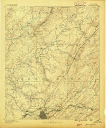
- 1889 USGS Birmingham quadrangle1:125000
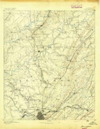
- 1892 USGS Birmingham quadrangle1:125000
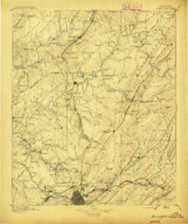
- 1895 USGS Birmingham quadrangle1:125000, 2 printings
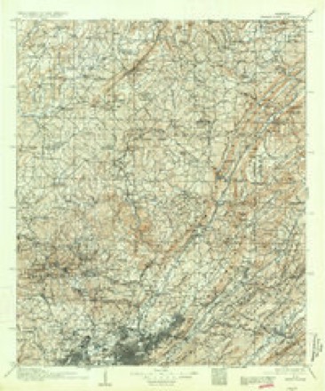
- 1907 USGS Birmingham quadrangle1:125000, 5 printings
- 1953 USGS Birmingham quadrangle1:250000, 4 printings
- 1956 USGS Birmingham quadrangle1:250000
- 1957 USGS Birmingham quadrangle1:250000
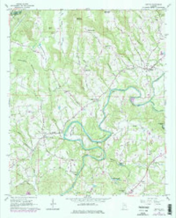
- 1961 USGS Nectar quadrangle1:24000, 3 printings
- 1975 USGS Nectar quadrangle1:24000
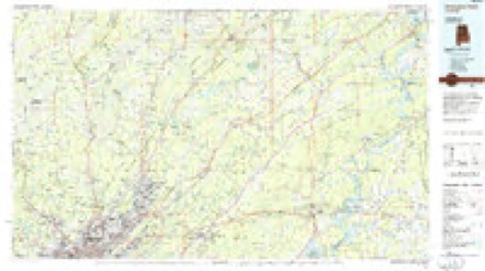
- 1984 USGS Birmingham North quadrangle1:100000, 2 printings

Fires near this place
120 since 1994Regional context, not property-specific evidence. The federal wildfire occurrence database lists 120 fires within 5 miles of Adville between 1994 and 2020, burning about 940 acres in total. 3 started naturally. 16 were recorded as arson. Distance is straight-line from the map coordinates, so a fire counted here may appear on a neighbouring settlement's page as well.
| Reported cause | Fires |
|---|---|
| Debris and open burning | 56 |
| Missing data/not specified/undetermined | 20 |
| Recreation and ceremony | 17 |
| Arson/incendiarism | 16 |
| Equipment and vehicle use | 5 |
| Natural | 3 |
| Smoking | 2 |
| Railroad operations and maintenance | 1 |
The most recent of them, most recent first, with the day each was reported and the service that recorded it.
| Date | Cause | Size | Reported by | Name on the report |
|---|---|---|---|---|
| 7 September 1995 | Recreation and ceremony | under an acre | Alabama Forestry Commission | not named |
| 4 September 1998 | Debris and open burning | 2.0 acres | Alabama Forestry Commission | not named |
| 4 September 1995 | Debris and open burning | 4.0 acres | Alabama Forestry Commission | not named |
| 30 September 2007 | Arson/incendiarism | 6.0 acres | Alabama Forestry Commission | not named |
| 3 September 1995 | Recreation and ceremony | under an acre | Alabama Forestry Commission | not named |
| 28 September 2016 | Debris and open burning | 3.0 acres | Alabama Forestry Commission | 20160928-1 |
| 27 September 2016 | Debris and open burning | 3.0 acres | Alabama Forestry Commission | 20160927-15 |
| 26 September 1999 | Debris and open burning | under an acre | Alabama Forestry Commission | not named |
Settlements close enough to share some of these fires:
Mines and quarries near this place
9 within 5 milesRegional context, not property-specific evidence. The federal mineral resources record lists 9 workings within 5 miles of Adville: 4 occurrences, 3 producers, 2 past producers. 3 still produce. What was taken out: Iron, Sand and Gravel, Construction, Limestone, General. Distance is straight-line from the map coordinates, so a quarry counted here may appear on a neighbouring settlement's page as well.
| Where | Site | Commodity | Status | Recorded |
|---|---|---|---|---|
| Quality Rock Pit | Limestone, General | Producer | ||
| F & W Co. Pit | Sand and Gravel, Construction | Past Producer | ||
| Nectar Pit | Sand and Gravel, Construction | Producer | ||
| Reuben Little Prospect | Iron | Occurrence | ||
| Sand and Gravel Pit | Sand and Gravel, Construction | Past Producer | ||
| Unnamed Prospect | Iron | Occurrence | ||
| Unnamed Prospect | Iron | Occurrence | ||
| Unnamed Prospect | Iron | Occurrence | ||
| Unnamed Quarry | Sand and Gravel, Construction | Producer | Quartz |
Storms near this place
8 since 2009Regional context, not property-specific evidence. The National Weather Service names Adville in 8 storm reports between 2009 and 2022: 4 tornado, 3 thunderstorm wind, 1 flood. No death or injury is recorded in these reports. Each account below is quoted exactly as the forecast office filed it, from the NOAA Storm Events Database, and each date opens the federal record of that event.
| When | Event | Place named | Harm | What the report says |
|---|---|---|---|---|
| June 2009 | Thunderstorm Wind | Adville | $2,000 | Trees were blown down along AL-79, between Locust Fork and County Line. |
| November 2022 | Tornado (EF0) | Adville | - | National Weather Service meteorologists surveyed damage in the Locust Fork area of Blount County and determined that it was consistent with an EF0 tornado, with maximum winds near 65 mph. The tornado touched down in a heavily wooded area near the Locust Fork River, just west of Standridge Trail. The first observable damage was in the area of Standridge Trail where minor timber damage occurred. Two barns sustained roof damage and one camper trailer was rolled and destroyed. The tornado continued east toward Deaver Walker and Campbell Roads. The circulation was fairly broad. Most damage consisted of sporadic uprooted trees. A few structures had minor roof damage with at least two structures damaged by uprooted trees. The tornado moved generally east across Tabernacle Road and County Road 13, producing additional sporadic and minor timber damage. The tornado dissipated before crossing Highway 79. Given the weak nature of the circulation, most if not all damage was on the right side with debris facing in a N to NE direction indicating non-divergent damage relative to path. No damage was found on the north side of the damage path. |
| April 2020 | Tornado (EF0) | Adville | - | National Weather Service meteorologists surveyed damage in southern Blount County and determined that it was consistent with an EF0 tornado, with maximum winds near 75 mph.||A tornado touched down near Whites Creek, generally along Center Springs Road. Numerous trees were snapped and uprooted before the tornado moved east causing minor roof damage to at least two homes, uprooting trees, and destroying a storage shed. The tornado quickly weakened and lifted as it moved over a heavily wooded area just to the east-northeast where remnant debris lied in the tree line. Aerial photos helped establish a clearly identifiable convergent debris pattern. |
| April 2020 | Tornado (EF1) | Adville | - | National Weather Service meteorologists surveyed damage in Blount County near Locust Fork and determined that it was consistent with an EF1 tornado, with maximum winds near 95 mph.||A tornado touched down just west of Tawbush Road, generally west-southwest of Locust Fork. After quickly intensifying to peak intensity of 95 mph, a broad corridor of trees were snapped and uprooted near three residences. No damage was observed at these locations outside of fallen limbs and debris. The tornado then tracked east with trees sporadically uprooted and snapped before it crossed a large wooded area just west of Highway 79. The tornado then briefly tracked near Highway 79 snapping and uprooting trees where some fell on at least two homes and one vehicle. Farther east, additional softwood trees were snapped and uprooted along Massey Road. Sporadic, and mostly minor tree damage was also noted along Pine Bluff Road and Spunky Holly Road. The tornado began to weaken as it crossed Highway 15 with mainly large limbs snapped in this area. The eastern-most damage was noted along Hollingsworth Road before the tornado finally dissipated. |
| June 2016 | Thunderstorm Wind | Adville | - | Several trees uprooted and power lines downed along Highway 79 near the town of Locust Fork. |
| March 2016 | Tornado (EF1) | Adville | - | National Weather Service meteorologists surveyed damage in southern Blount County just south of Locust Fork and determined that the damage was consistent with an EF-1 tornado. Maximum winds were estimated to be around 90 mph. The tornado was very briefly on the ground near the intersection of Spunky Hollow Road and Sunrise Lane just south of Locust Fork. A metal storage barn with wood framing was heavily damaged and the intact roof was lofted nearly 50 yards. Additionally, a dozen softwood trees were uprooted and/or snapped in this area of damage. A brick home sustained only minor roof damage. Another home in the path sustained minor roof damage and a small pontoon boat was lofted into the side of the home. On the left edge of the path, a single family home suffered the loss of some roofing materials and windows broken by debris. Another dozen softwoods were uprooted and/or snapped with several hardwoods also uprooted. The tornado lifted just northeast of Sunrise Lane. |
| July 2012 | Thunderstorm Wind | Adville | - | A tree was reported down blocking Deaver Walker Road in Locust Fork. |
| March 2010 | Flood | Adville | - | One foot of water was reported flowing over Deaver Walker Road, near the Locust Fork community. |
Nearest settlements
The eight closest, with where each one stands in the county. Distances are straight-line, computed from the Geographic Names Information System coordinates.
| Map | Place | Distance | Sheets |
|---|---|---|---|
| Cedar Springs | 1.5 miles | 23 | |
| Little Shenandoah | 2.0 miles | 21 | |
| Locust Fork | 2.3 miles | 21 | |
| Dallas | 2.5 miles | 23 | |
| Lehigh | 2.9 miles | 23 | |
| Little Warrior | 2.9 miles | 21 | |
| Wallstown | 3.1 miles | 21 | |
| Selfville | 3.9 miles | 23 |
Elsewhere
Matched on this settlement's Geographic Names Information System number rather than its name, so it cannot be a different place of the same name in another state.
| Wikidata item Q122589158 | The structured record the population and elevation above come from. Public domain (CC0). |
Provenance
This settlement is recorded in the Geographic Names Information System as feature 112938. The sheet list is computed by point-in-boundary test against the United States Geological Survey's historical topographic inventory. Both are works of the United States government and carry no copyright under 17 U.S.C. 105.
Wildfire. Short, Karen C. 2022. Spatial wildfire occurrence data for the United States, 1992-2020 [FPA_FOD_20221014]. 6th Edition. Fort Collins, CO: Forest Service Research Data Archive. https://doi.org/10.2737/RDS-2013-0009.6 Collected with United States Government funding and usable without additional permissions or fees.
Mines and quarries. USGS Mineral Resources Data System (MRDS) https://mrdata.usgs.gov/mrds/ A work of the United States government, no copyright under 17 U.S.C. 105.
Storms. NOAA National Centers for Environmental Information, Storm Events Database https://www.ncei.noaa.gov/stormevents/ A work of the United States government, no copyright under 17 U.S.C. 105. Narratives are quoted verbatim from the National Weather Service report and are not edited or summarised.