 Block
From the record
3 National Register listings published here.
Sources: the National Register database, National Park Service
58 topographic sheets and 9 fire insurance atlases across 2 places.
3 National Register listings published here.
Sources: the National Register database, National Park Service
Every property in this county listed on the National Register of Historic Places, with the year it was listed and the federal nomination document.
| Photograph | Property | Type | Listed | Reference |
|---|---|---|---|---|
| Atmore Commercial Historic District | district | 2021 | 100004641 | |
| Brewton Historic Commercial District | district | 1982 | 82002013 | |
| Commercial Hotel-Hart Hotel | building | 1986 | 86001160 |
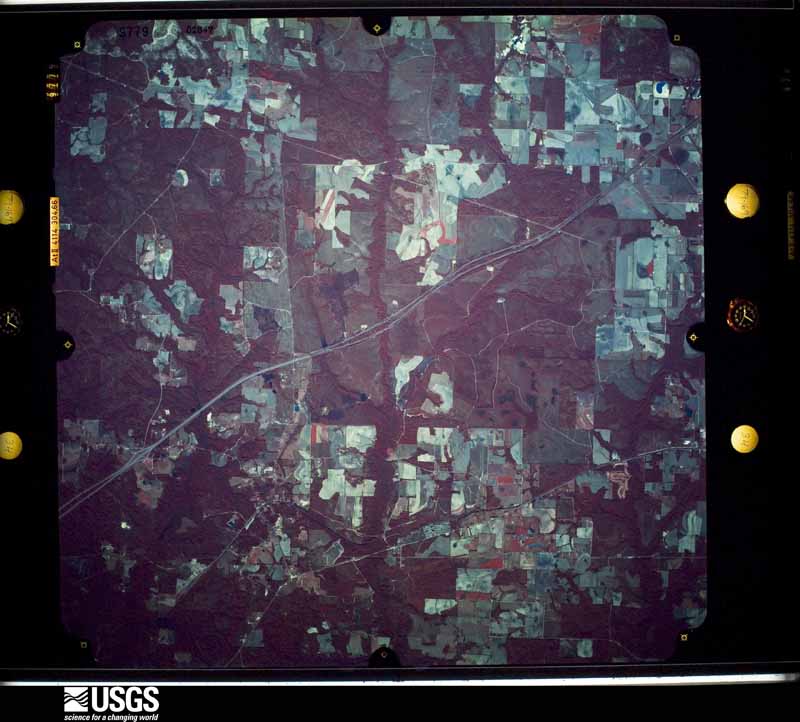
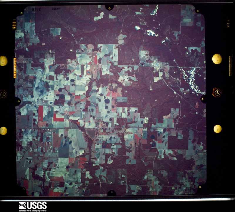
Flown by the U.S. Geological Survey between 1937 and 1989, the Aerial Photo Single Frames collection is the definitive mid-century view of the land: fields, roads and rivers as the camera saw them. The Survey holds 1,012 frames inside the rectangle that bounds this county; the 36 frames below were taken over the county itself, chosen across the decades of flights (at most four a year from that rectangle), so one flight cannot crowd out the rest. The full set is free to browse and download at EarthExplorer under the dataset Aerial Photo Single Frames.
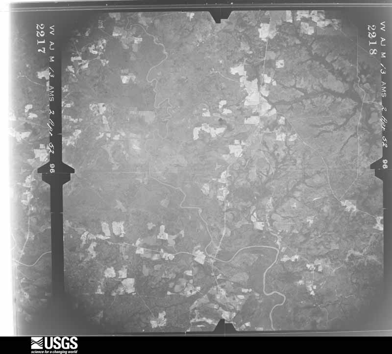
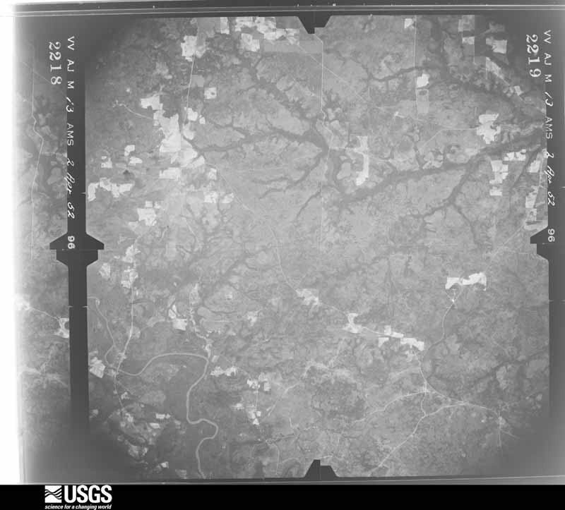
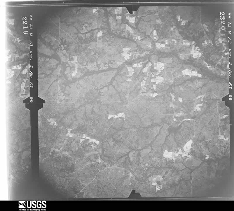
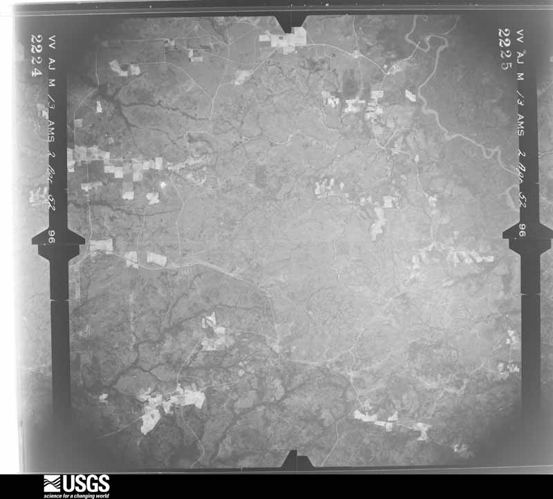
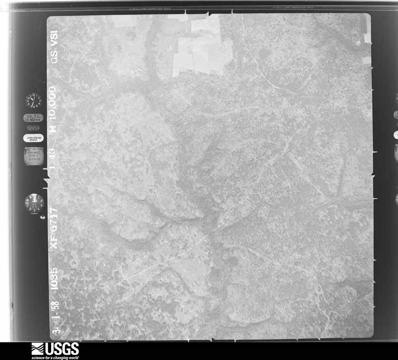
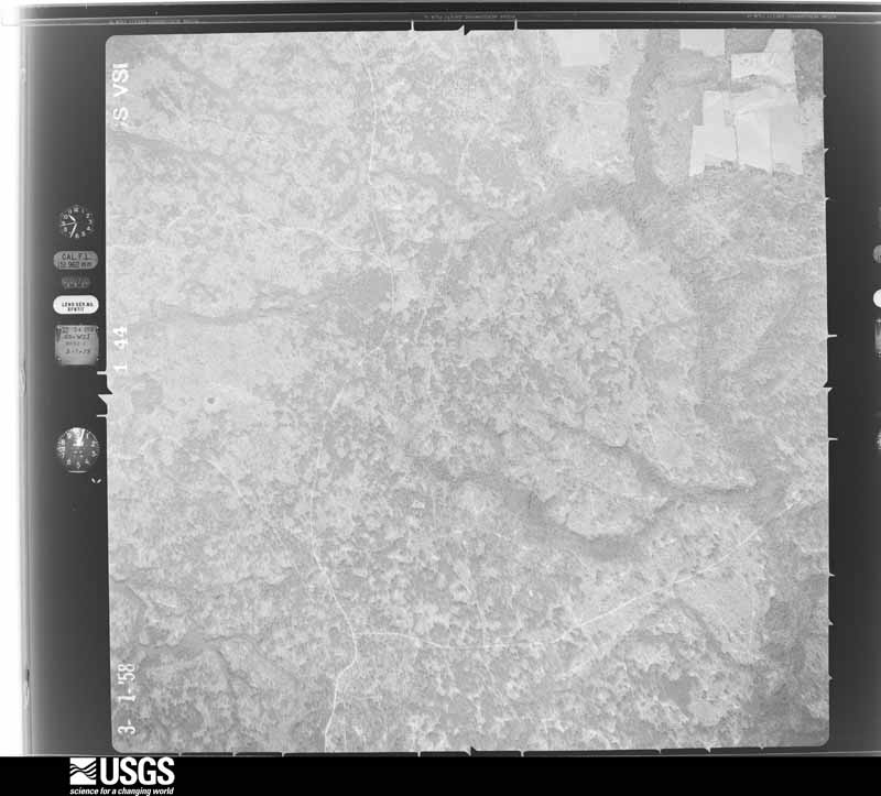
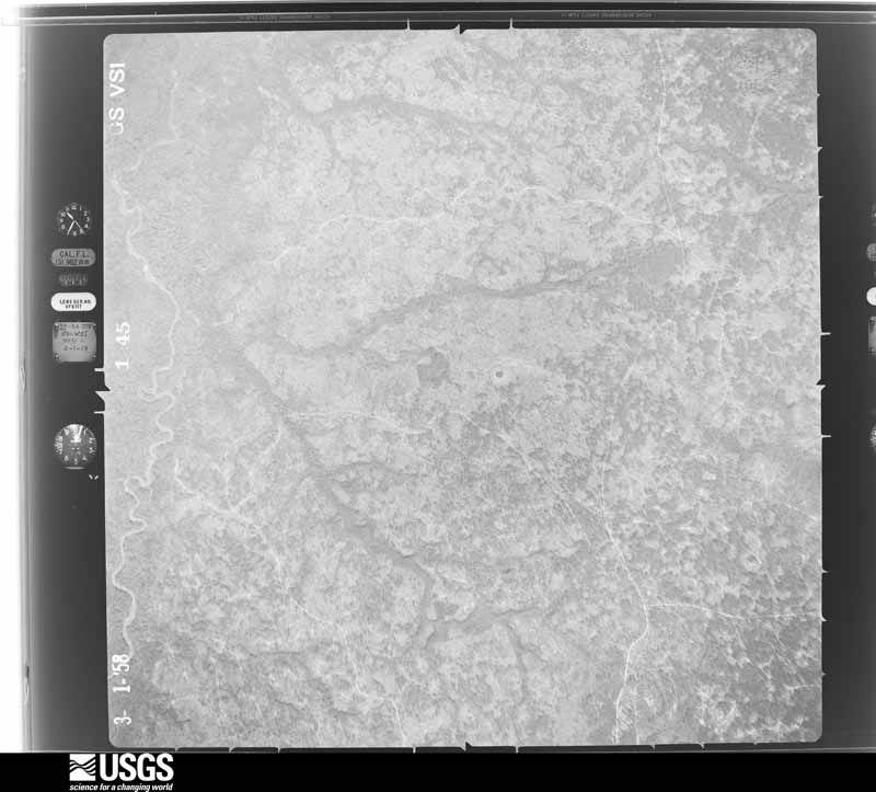
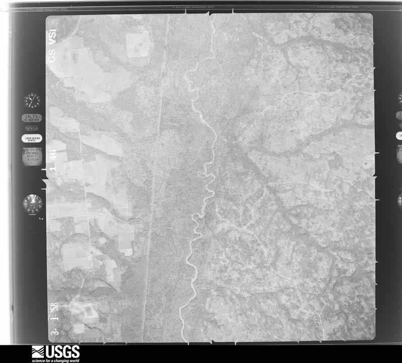
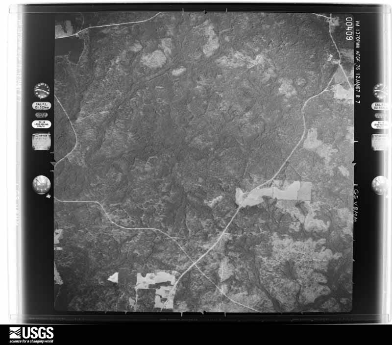
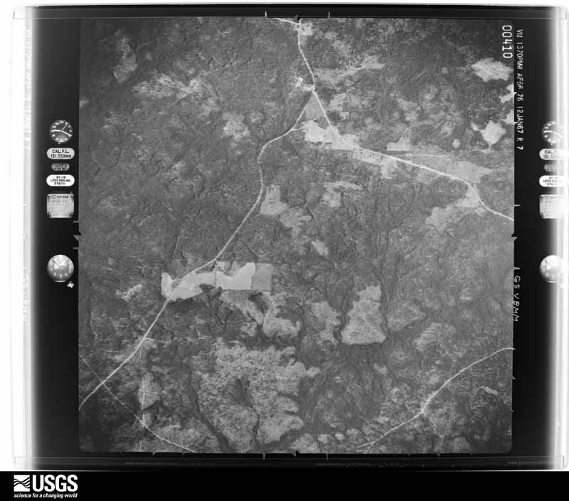
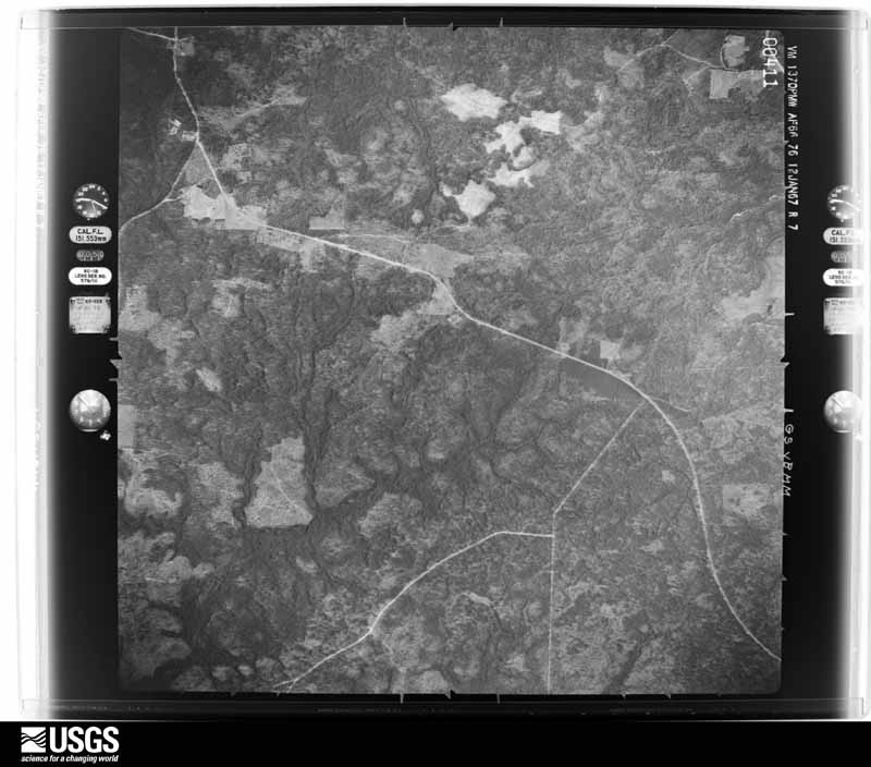
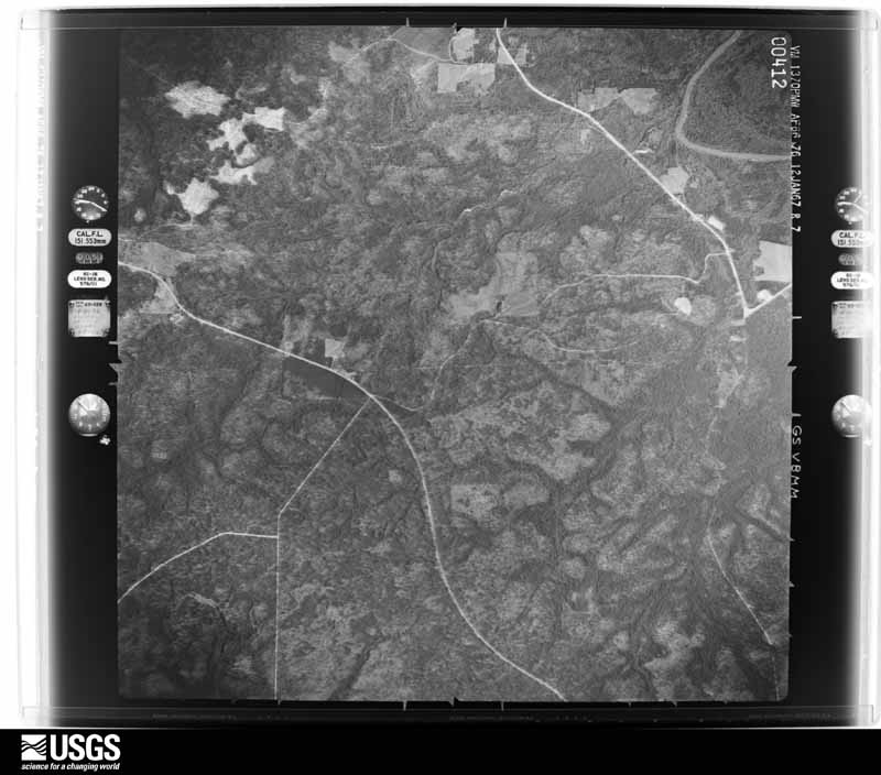
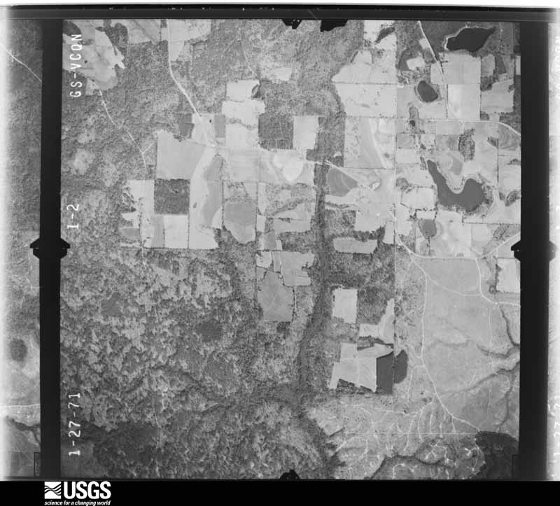
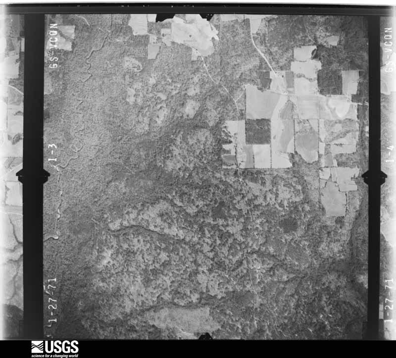
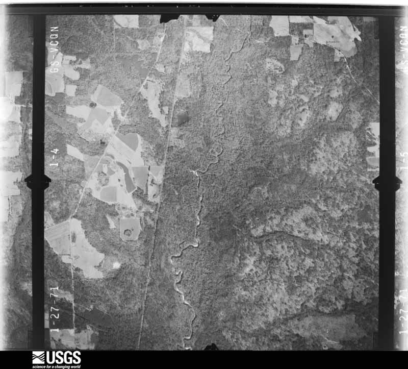
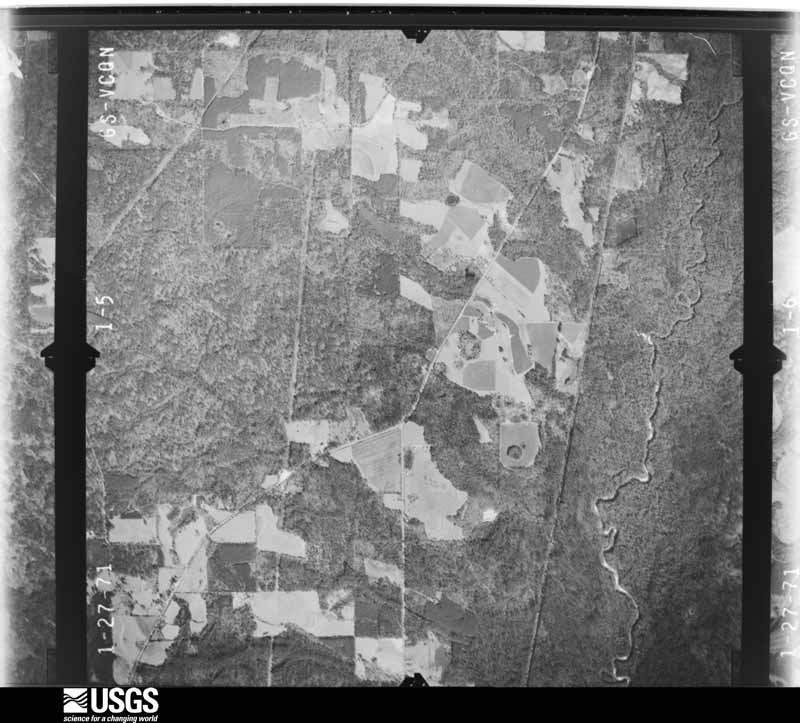
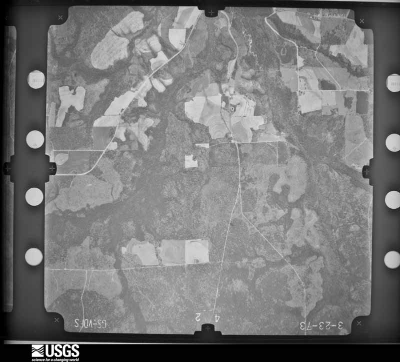
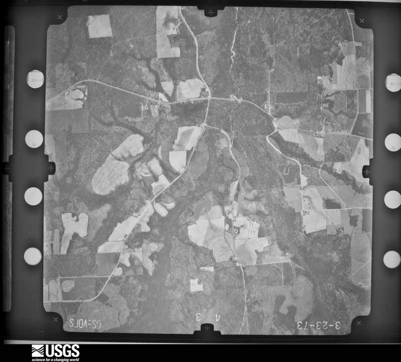
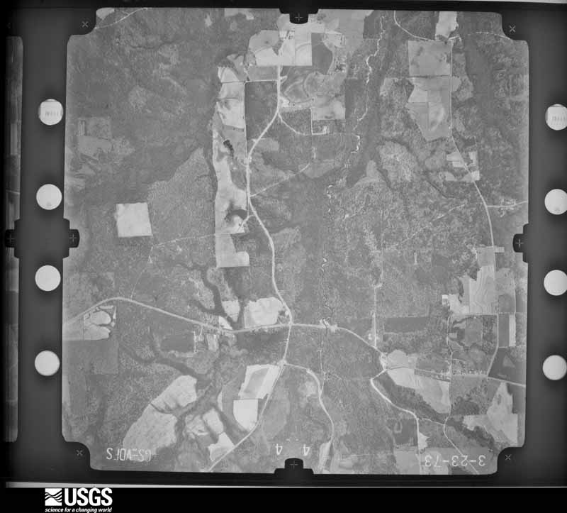
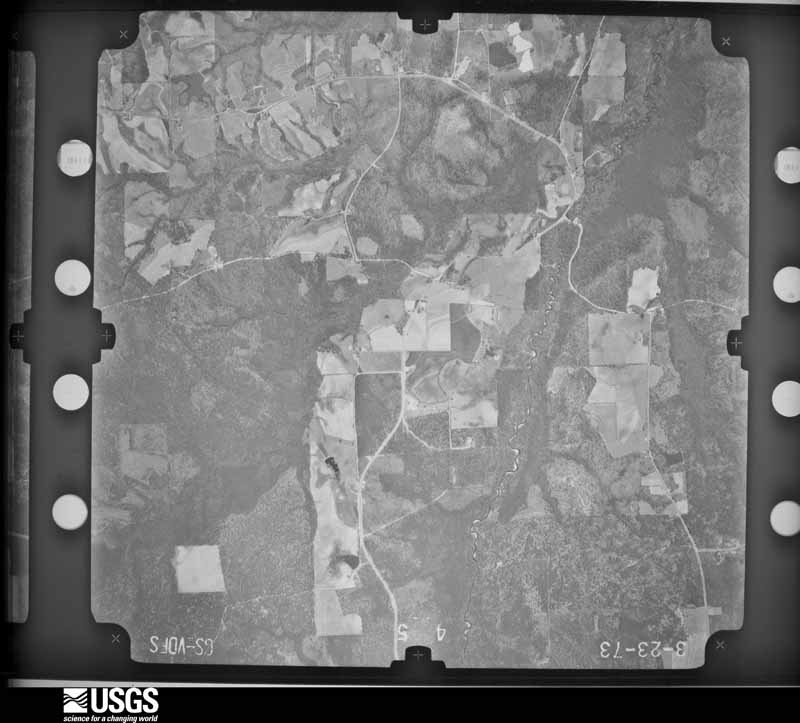
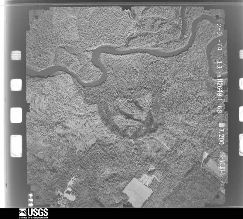
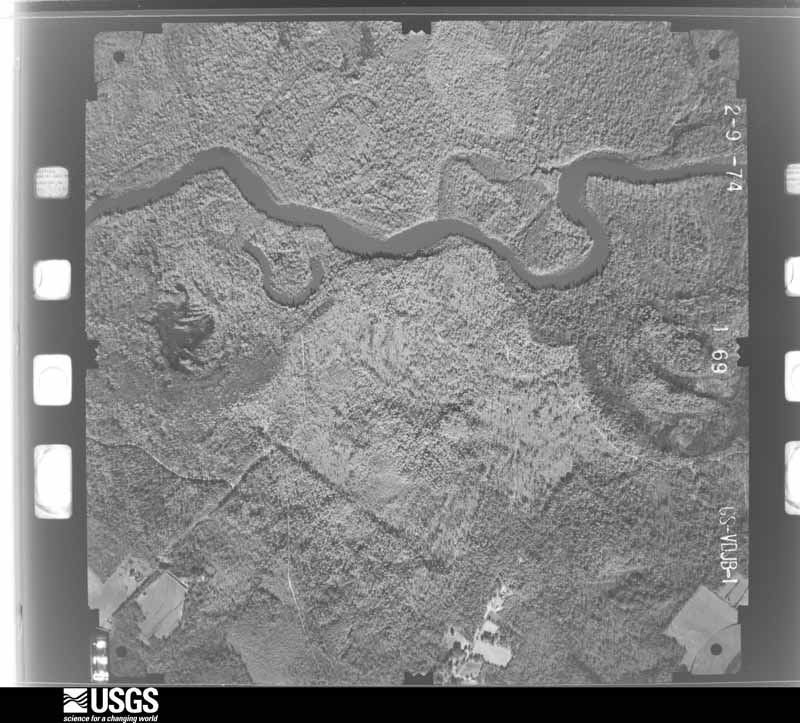
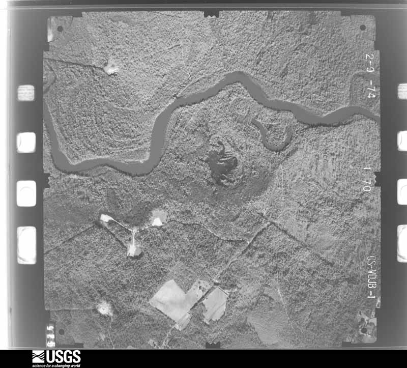
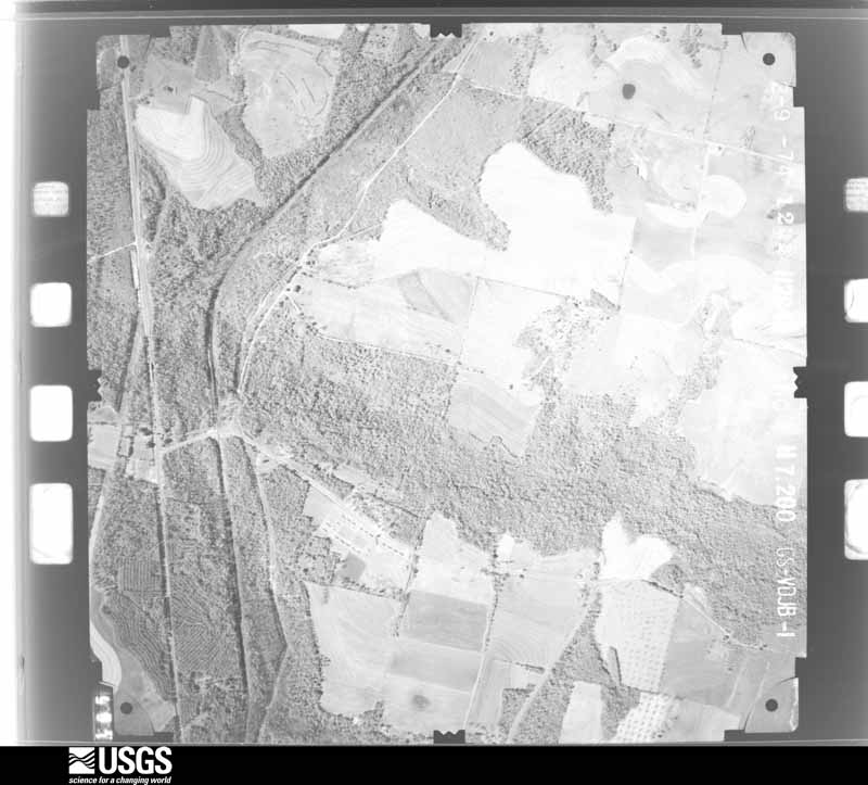
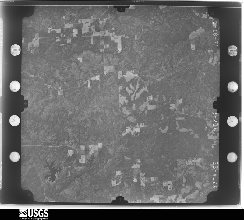
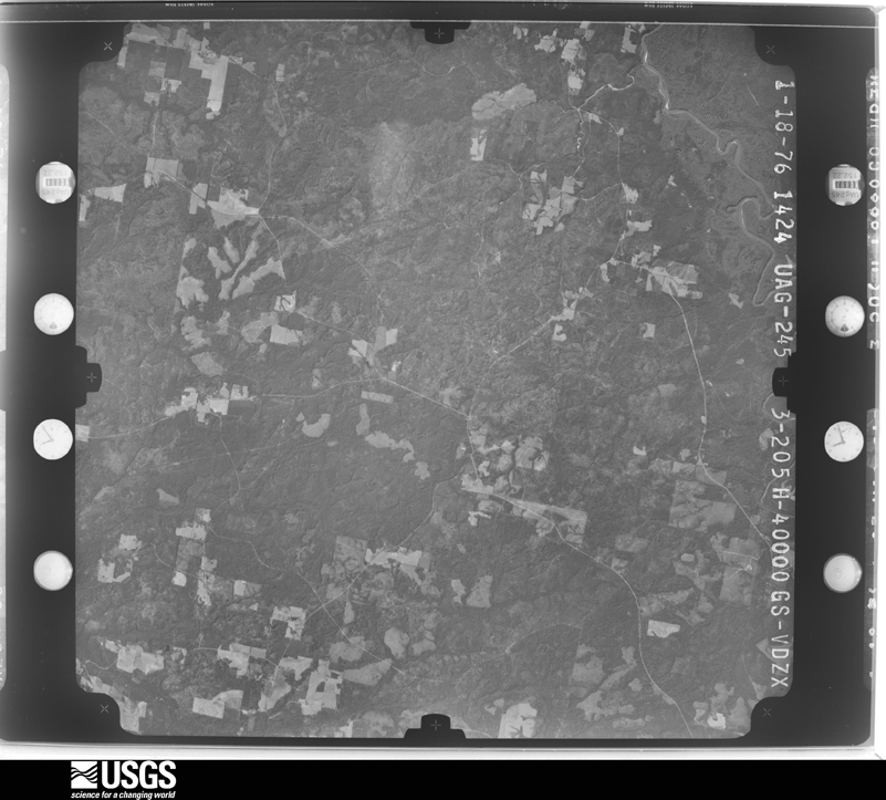
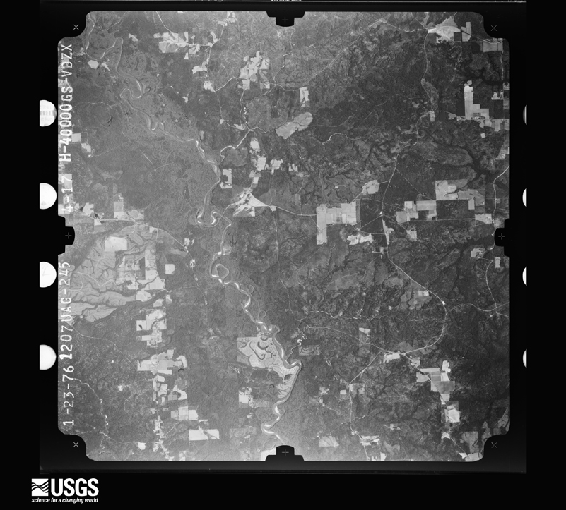
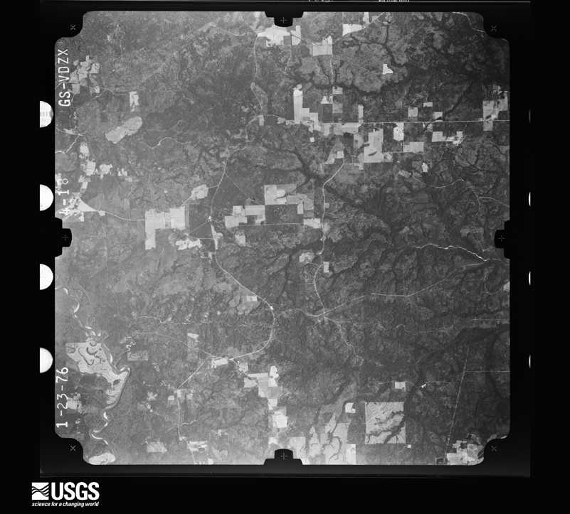
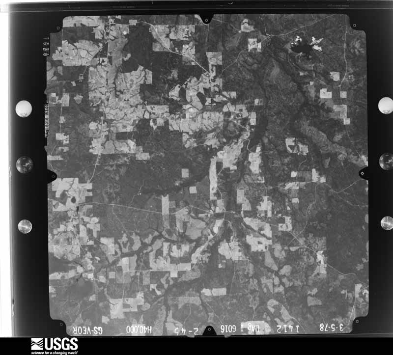
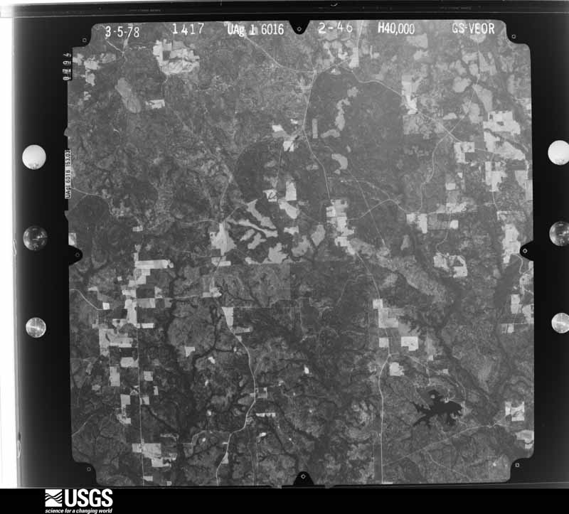
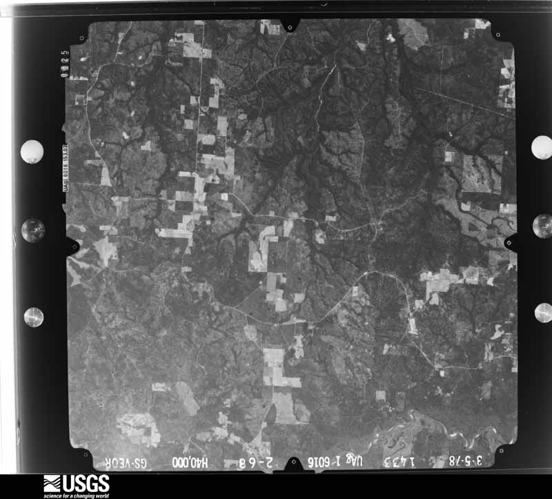
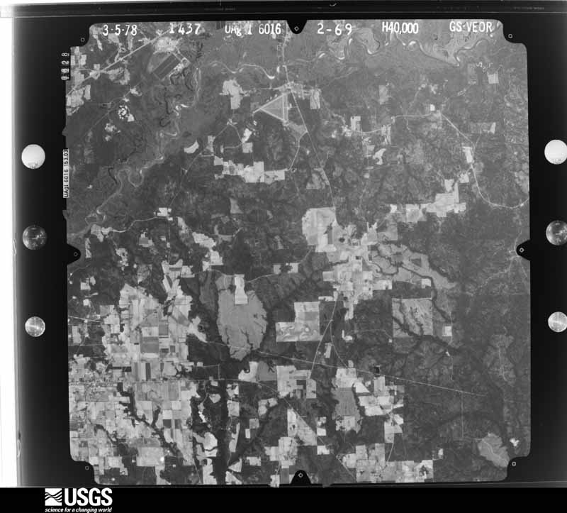


The thermometers that kept this county's weather, and the gages that measured the flow of its streams, as the federal records hold them. The extremes below are measured values from those records, not estimates.
Who lived here in 1950, one enumeration district at a time, as the Census Bureau described each district. Each row opens its official National Archives result, with Population Schedules and ED Maps available there.
Every wildfire the federal occurrence database records inside this county: 1,894 of them, burning about 28,000 acres. 69 started naturally and 457 were recorded as arson. Each settlement page carries the fires within five miles of it.
| Reported cause | Fires |
|---|---|
| Debris and open burning | 632 |
| Arson/incendiarism | 457 |
| Missing data/not specified/undetermined | 384 |
| Equipment and vehicle use | 140 |
| Recreation and ceremony | 98 |
| Natural | 69 |
| Railroad operations and maintenance | 52 |
| Smoking | 33 |
| Misuse of fire by a minor | 24 |
| Power generation/transmission/distribution | 3 |
| Fireworks | 2 |
The five largest, by the area the report gives. Two of them were set deliberately.
| Date | Cause | Size | Reported by | Name on the report |
|---|---|---|---|---|
| 15 July 2000 | Natural | 745 acres | Alabama Forestry Commission | not named |
| 17 September 2000 | Debris and open burning | 551 acres | Alabama Forestry Commission | not named |
| 6 May 2018 | Debris and open burning | 478 acres | National Forests in Alabama | 346B |
| 8 February 2000 | Arson/incendiarism | 447 acres | National Forests in Alabama | ANN BOG |
| 2 June 2011 | Equipment and vehicle use | 428 acres | Alabama Forestry Commission | HWY 113, AL |
| 14 February 2015 | Missing data/not specified/undetermined | 424 acres | Alabama Forestry Commission | SWR-20150214-019 |
| 27 March 2004 | Arson/incendiarism | 410 acres | Alabama Forestry Commission | ESCAMBIA |
| 12 March 2005 | Debris and open burning | 408 acres | Alabama Forestry Commission | not named |
Every settlement page carries the fires within five miles of it - see the settlement index below.
The NOAA Storm Events Database holds 344 reports for this county, causing 2 deaths, 38 injuries and about $15,389,000 in recorded property damage. Each settlement page carries the reports that name it.
| Kind of event | Reports |
|---|---|
| Thunderstorm Wind | 193 |
| Hail | 69 |
| Flash Flood | 43 |
| Tornado | 30 |
| Lightning | 5 |
| Flood | 3 |
| Funnel Cloud | 1 |
The most serious of them, by death, then injury, then recorded damage. The accounts are quoted exactly as the forecast office filed them.
| When | Event | Place named | Harm | What the report says |
|---|---|---|---|---|
| July 2022 | Lightning | Brewton | 1 killed | A man in his 30s was struck and killed by lightning while floating along the Burnt Corn Creek. |
| July 2009 | Lightning | Wawbeek | 1 killed | Monday morning Dawn Yoder of Atmore was struck by lightning at her home. She was found 10 to 15 minutes after the lightning strike by her family members and transported to the hospital where she later died on July 8th. |
| June 2021 | Tornado (EF2) | Brewton Muni Arpt | 20 hurt, $3,200,000 | The tornado first touched down on Jay Road just west of Highway 41 in Riverview. The tornado intensified and widened as it moved northeast into East Brewton, crossing over|Highway 41. During this time, the tornado produced EF-1 intensity damage to numerous trees, homes, businesses in the area. Some of the most severe damage was located at the intersection of Forrest Avenue and Andrew Jackson Street where several mobile homes were completely destroyed. This was rated as EF-2 intensity damage with peak estimated winds of 125-130 mph. There was also significant roof damage to the auditorium at W S Neal High School. The tornado continued northeast and moved across Shoffner Street. Primarily EF-1 intensity damage to trees and homes was noted here, but a swath of EF-2 intensity tree damage was noted in a valley just north of Ballard Street. Major tree damage continued north across Cook Road. Additional major structural damage was observed along Riddle Road near Horseshoe Road. A single wide mobile home was completely destroyed with the frame tossed over a 100 yards away. The owner was ejected from the building and found near the frame and suffered serious injuries. A home on the north side of Riddle Road had its entire roof torn off. The tornado continued north, crossing Kirkland Road and Highway 31. Most of the damage was in the EF-1 range and most notably to trees. ||The tornado crossed into Conecuh County and produced EF-1 damage on the west side of Castleberry, impacting areas of Braggert Road, Kennedy Street, and Durham McLendon Road. The tornado began to weaken as it moved north of west Cleveland Avenue but still produced spotty EF-0 to EF-1 damage all the way north to |Interstate 65 where some tree damage was noted just north of the rest area. This is near where the tornado is estimated to have lifted. The survey team found no damage crossing Highway 84 further to the north.||Escambia County Emergency Management reported up to 20 total injuries, mostly minor. However, there were 2 serious injuries. |
| March 2022 | Thunderstorm Wind | Porch | 10 hurt | A swath of damaging straight line winds impacted|the Poarch, AL area on 3/18/22 at 9:04 AM CDT. A narrow swath of|intense wind gusts estimated at 90 to 100mph affected a mobile|home park where several mobile homes were rolled/destroyed. The|surrounding area sustained severe wind gusts to the southeast|where several trees were snapped/uprooted and a farm and nearby|residences sustained roof damage to several buildings. The survey|team found no evidence of convergence with all damage laid out in|a southwest to northeast swath suggesting straight line wind|damage. |
| December 1972 | Tornado (F2) | not stated | 3 hurt, $2,500 | no account filed |
| March 2001 | Thunderstorm Wind | Huxford | 1 hurt, $1,000,000 | A line of severe thunderstorms produced an intense and well defined bow echo, or downburst, over the northwestern part of the county. The extremely high downburst winds, estimated to be around 100 mph, produced extensive damage in the Little River State Forest Park. Media reports indicated several hundred acres of pine forest was destroyed. It was noted that the downed pine timber in the Little River State Park possessed some of the largest known diameters of any of the downed trees in the 3/12/01 severe weather outbreak that occurred over Southwest Alabama. A Park Ranger was severely injured when the vehicle he was in was crushed by one of the falling trees. The same line of storms produced wind damage to structures, and 1 inch hail in Huxford, which is just north of the State Park. |
| November 1983 | Tornado (F1) | not stated | 1 hurt, $250,000 | no account filed |
| December 1961 | Tornado (F3) | not stated | 1 hurt, $250,000 | no account filed |
| July 2009 | Thunderstorm Wind | Brewton | 1 hurt, $100,000 | Wind gusts estimated at 60 mph blew a tree down on a brick frame house and trapped a 70 year old female inside. She had minor injuries and the house was a total loss. |
| July 2009 | Thunderstorm Wind | Keego | 1 hurt, $20,000 | A McCall area woman was injured and trapped in her residence when strong winds sent a large oak tree crashing through her home at 141 Brantley Lane. The McCall Volunteer Fire Department was dispatched to the residence of Wanda Straiton at 618 PM CDT. While enroute to the scene, the fire department had to clear several trees blocking Jernigan Road, restricting access to Brantley Lane. Mrs. Straiton was treated for her injuries and released at a local area hospital that evening. |
| April 2011 | Tornado (EF2) | Boykin | $2,600,000 | Tornado touched down approximately one half mile west of Damascus Road and quickly widened to near 300 yards and strengthened to EF-2 intensity. Near and along Damascus Road the tornado destroyed one wood frame home, and severely damaged or affected several other brick homes and adjacent manufactured homes. The tornado rolled one single-wide manufactured home onto its roof trapping the occupants inside for several minutes. Several minor injuries were reported. The tornado continued east crossing Eddie Jackson Road, Hoomesville Road, and Brooklyn Road where trees were snapped or uprooted along a 200 yard wide path. The tornado continued moving east into Conecuh County. Alabama Forestry Commission estimated the timber losses along this tornado track to be near 2.1 million dollars. Property damage to homes was estimated to be near 500,000 dollars. |
| March 1998 | Flash Flood | Countywide | $1,500,000 | no account filed |
| December 2009 | Flash Flood | Atmore | $1,250,000 | Heavy rain produced widespread flash flooding in Atmore. Numerous homes, businesses, and roads were flooded. Several cars were stranded in the streets of downtown Atmore. |
| February 2016 | Tornado (EF2) | Wahl | $750,000 | This tornado was produced from an isolated supercell thunderstorm. The tornado moved northeast out of Escambia County Florida and into Escambia County AL just east of Flomaton. EF-2 intensity damage was surveyed on Old Fannie Road. The tornado continued northeast toward Pollard where it weakened and lifted. Extensive tree damage was noted with numerous softwood and hardwood trees either uprooted or snapped. Several power poles were also snapped. |
| February 2008 | Tornado (EF2) | Parker Spgs | $700,000 | A strong EF-2 tornado first touched down over a heavily forested area about 5 miles southwest of Dixie and then moved northeast across the forest crossing highway 29 just to the west of Dixie. The tornado then continued northeast across heavily forested areas moving into western Covington county 3.1 miles northeast of Dixie. Significant tree damage occurred along the track of the tornado with structural damage confined to the populated area of Dixie. Three homes were destroyed in Dixie and two large towers were damaged. Two occupants of one of the homes that was destroyed in Dixie got into an interior bathroom on the lowest floor of the two story house and covered themselves with cushions. The tornado tore off the top story of the home and damaged the lower floor but the two residents were unharmed. Some century old headstones were blown over in a cemetery just north of Dixie. No injuries were reported. |
| April 1994 | Thunderstorm Wind | Dixonville | $500,000 | Thunderstorm winds downed trees in the Dixonville and McCall areas of Escambia County. |
| December 2009 | Flood | Appleton | $400,000 | Flooding along the Burnt Corn Creek and Murder Creek resulted in major flooding of downtown businesses in Brewton. Estimates from Escambia Emergency Management Agency and the State of Alabama Emergency Management Agency indicate 400,000 U.S. Dollars in property damage to the downtown Brewton area due to flood waters. |
| December 2009 | Flood | Flomaton | $362,000 | Significant water level rises along the Big Escambia Creek due to persistent heavy rains falling in the river basin resulted in significant flooding of several homes and businesses in the northern sections of Flomaton. Estimates from local Emergency Management, Federal Emergency Management officials, and the State of Alabama Emergency Management Agency estimate damages from flood waters in Flomaton near 362,000 U.S. Dollars. |
| March 2014 | Thunderstorm Wind | Atmore | $250,000 | Winds estimated at 90 mph caused the front of Freds to collapse and part of the wall at Oreilly Auto Parts in Atmore. Structural damage also occurred at Burkes Outlet. |
| December 2009 | Flash Flood | Atmore | $250,000 | Heavy rains produced widespread flooding in Atmore. Numerous roads were flooded and several cars were stranded. |
| November 1968 | Tornado (F3) | not stated | $250,000 | no account filed |
| October 2021 | Flash Flood | Boykin | $100,000 | Part of CR 69/Damascus Road was impassable due to flooding. A bridge was reported washed out on Damascus Road. |
| April 2011 | Tornado (EF1) | Wallace | $100,000 | Several trees down in the Appleton area where tornado path began. Near Highway 31 approximately 9 miles north of Brewton, the tornado had strengthened, where it destroyed one round top (quonset type) metal building, destroyed one small outbuilding, and produced shingle damage to one home on the south side of the tornado circulation. |
| April 2009 | Thunderstorm Wind | Robinsonville | $70,000 | Winds estimated at around 70 mph destroyed 1 barn and damaged another. Four power poles and several trees were also broken by the straight line winds. |
| May 1995 | Thunderstorm Wind | Atmore | $70,000 | Several trees along with a few sheds were blown over near Atmore. Several trees were also blown down along Interstate 65 north of Atmore. A lightning strike set a house on fire and the home was completely destroyed. |
| April 2018 | Thunderstorm Wind | Roberts | $50,000 | A severe thunderstorm moved across the Florida state line into rural southeastern Escambia County in Alabama and produced areas of sporadic straight line wind damage. Several large trees were uprooted along Raintree Road. More trees were uprooted along Yellow Creek Road with several trees snapped in half and laying in the adjacent field between Raintree and Yellow Creek Roads. There was minor damage to a shed and an awning/roof of a manufactured home along Yellow Creek Road. Sporadic tree damage was also noted further north on Yellow Creek Road near Fuqua Road. |
| December 2012 | Thunderstorm Wind | Freemanville | $50,000 | Winds estimated at 60 mph caused damage near Fast Lane Gas Station on Jack Springs Road 1/2 mile south of Exit 54 and I-65. The strong winds overturned 18 wheelers. Also a house behind gas station was on fire. |
| June 1998 | Thunderstorm Wind | Countywide | $50,000 | A line of severe thunderstorms moved across the county between 1145 pm and 1230 am. Trees and power lines were blown down throughout the county. No injuries were reported. |
| January 2017 | Thunderstorm Wind | Appleton | $40,000 | Numerous trees and power lines were blown down in the city of Brewton, generally between Highway 31 and Sowell Road. 5 homes suffered damage due to fallen trees. The city mechanic shop on St. Nicholas Avenue had a large portion of the roof torn off due to wind. |
| May 2006 | Hail | Brewton | $40,000 | Large hail falling out of a thunderstorm damaged several vehicles in and around the Brewton area. The large hail lasted for about ten minutes. An unofficial weather gage measured a wind gust of 46 MPH during the storm. |
| November 1997 | Thunderstorm Wind | Dixonville | $40,000 | High winds damaged two homes near the intersection of State Road 41 and County Road 55 near Dixonville. One of the homes had part of its roof blown off. Several barns and silos also suffered damage. Trees and power lines were also blown down. The damage appeared to be caused from a microburst of 80 to 90 mph. |
| March 2009 | Thunderstorm Wind | Brewton | $35,000 | Winds estimted at 70 mph downed numerous pine trees in Brewton. A barn was also damaged along porch and roof damage. |
| November 1997 | Thunderstorm Wind | Little Rock | $35,000 | High winds caused minor damage to three homes in the Little Rock community. A barn and four silos were also damaged by the winds. Several trees and power lines were also blown down. No injures were reported. |
| March 2009 | Tornado (EF1) | Appleton | $30,000 | The EF1 tornado touched down just south of Appleton where it destroyed a small barn behind a residence and uprooted several hardwood trees and snapped several pine trees. The tornado continued northeast where it strengthened and widened. At its strongest point the tornado snapped numerous large pine trees in a wooded area. On the periphery of the stronger winds several homes and outbuildings experienced minor roof and shingle damage. The tornado lifted about two miles northeast of Appleton. |
| May 1995 | Thunderstorm Wind | Central and East port | $30,000 | Winds blew trees and power lines down along Highway 29 north of Brewton. One of the trees fell on a trailer and demolished it. A vehicle parked near the trailer was also destroyed. Trees were blown on a house near Damascus. The power throughout most of the county was off at least for a short period of time between 2145 CST and 0110 CST. |
| March 2009 | Thunderstorm Wind | Dixie | $25,000 | Winds estimated at 70 mph downed numerous trees and powerlines in and around Dixie. |
| November 2001 | Tornado (F0) | Brewton | $25,000 | A weak tornado produced some minor roof damage to a few houses in East Brewton. A few trees and power lines were blown down as well. |
| November 1997 | Thunderstorm Wind | Robinsonville | $25,000 | High winds in the Robinsonville community picked up a home and moved it from its foundation. The winds also blew part of the roof from the home. . No one was injured. |
| October 1995 | Tornado (F0) | East | $25,000 | Several short lived tornadoes were reported in the east part of the county near the center of Opal. Tornadoes briefly touched down in the Damascus area, in the Bradley area and along U.S. Highway 31 north of Brewton. Trees and power lines were blown down in all these areas. |
| October 1985 | Tornado (F1) | not stated | $25,000 | no account filed |
| April 1975 | Tornado (F1) | not stated | $25,000 | no account filed |
| April 1975 | Tornado (F1) | not stated | $25,000 | no account filed |
| June 1972 | Tornado (F2) | not stated | $25,000 | no account filed |
| March 1961 | Tornado (F1) | not stated | $25,000 | no account filed |
| February 1958 | Tornado (F1) | not stated | $25,000 | no account filed |
| May 2009 | Thunderstorm Wind | Flomaton | $20,000 | Winds estimated at 60 mph downed trees and power lines and caused damage to barns along with a roof of a mobile home. |
| October 2001 | Thunderstorm Wind | Atmore | $20,000 | High winds, along the leading edge of a squall line, blew down several trees between Huxford and Atmore. |
| July 1998 | Flash Flood | Atmore | $20,000 | Heavy rainfall caused several streets in the Atmore area to flood. The streets had to be closed for a couple of hours because of motorists driving through them and creating wakes. The wakes caused water to enter some homes in low lying areas. Radar and surface reports estimated that around five inches of rain fell in a three hour period across the area. |
| March 2016 | Tornado (EF1) | Bradley | $15,000 | A brief tornado touch down occurred along Bradley Road just east of the intersection with Elm Drive. A brick home suffered significant roof damage and a large shed was destroyed. Two other sheds were damaged. |
| April 2003 | Thunderstorm Wind | Flomaton | $15,000 | High winds from a thunderstorm blew down a couple of trees near Flomation. One of the trees fell on a trailer and temporally trapped two people inside. They were able to get out of the home and were not injured. |
| March 2001 | Thunderstorm Wind | Dixie | $15,000 | Several trees and power lines were blown down by high thunderstorm winds near Dixie. |
| July 1999 | Thunderstorm Wind | Brewton | $15,000 | Strong straight line winds damaged the roof of the 911 building at US Hwy 31 north. Across the street at a mobile home sales park, several mobile homes were damaged. The strong winds also blew a car into another car and downed a few trees in the area. |
| March 2009 | Thunderstorm Wind | Brewton | $12,000 | Winds estimated at 60 mph knocked down trees on the north side of Thomasville. |
| August 2006 | Thunderstorm Wind | Brewton | $12,000 | High winds from a thunderstorm blew down several trees and power lines in the Brewton area. |
| February 2008 | Thunderstorm Wind | Brewton | $12,000 | no account filed |
| February 2008 | Thunderstorm Wind | Brewton | $12,000 | no account filed |
| April 2019 | Thunderstorm Wind | Brewton | $10,000 | High winds downed trees and power lines across the city of Brewton. |
| April 2019 | Thunderstorm Wind | Brewton Muni Arpt | $10,000 | High winds downed trees and power lines across the city of Riverview. |
| June 2018 | Thunderstorm Wind | Brewton | $10,000 | Winds estimated at 60 mph downed a tree on a house in Brewton. |
| March 2016 | Thunderstorm Wind | Kirkland | $10,000 | Winds estimated at 70 mph damaged a mobile home and outbuilding on Zion Hill Road. |
The Survey's mineral resources record lists 36 workings inside this county. 20 still produce and 16 are closed or unrecorded. Each settlement page carries the workings within five miles of it.
| Commodity | Workings |
|---|---|
| Sand and Gravel, Construction | 32 |
| Clay | 2 |
| Sand and Gravel, Construction, Silica | 1 |
| Sulfur | 1 |
The least common of them first, because a county's hundredth gravel pit says nothing its first ten did not.
| Where | Site | Commodity | Status | Recorded |
|---|---|---|---|---|
| Flomaton Plant | Sulfur | Unknown | ||
| Unnamed Quarry | Sand and Gravel, Construction, Silica | Producer | Quartz | |
| Brewton Mine and Plant | Clay | Producer | ||
| Esc 3 Clay Prospect | Clay | Prospect | ||
| Atmore Pit | Sand and Gravel, Construction | Past Producer | ||
| Barnett Cross Roads Pit | Sand and Gravel, Construction | Past Producer | ||
| Bragan Pit | Sand and Gravel, Construction | Producer | ||
| Campbell Number 2 Quarry | Sand and Gravel, Construction | Producer | Unconsolidated Sediments | |
| East Brewton Pit | Sand and Gravel, Construction | Past Producer | ||
| Escambia Pit | Sand and Gravel, Construction | Producer | Unconsolidated Sediments | |
| Escambia Pits | Sand and Gravel, Construction | Producer | ||
| Flomaton Sand and Gravel Co. Pit | Sand and Gravel, Construction | Past Producer | ||
| Freeman Pit | Sand and Gravel, Construction | Past Producer | ||
| Gilmore Pit | Sand and Gravel, Construction | Producer | ||
| Henderson Dredge | Sand and Gravel, Construction | Past Producer | ||
| M.J. Arnold Gravel Co. Pit | Sand and Gravel, Construction | Past Producer | ||
| Mcullough Pit | Sand and Gravel, Construction | Past Producer | ||
| Parker Number 1 | Sand and Gravel, Construction | Producer | ||
| Parker Number 1 Pit | Sand and Gravel, Construction | Producer | Unconsolidated Sediments | |
| Pettis Pit | Sand and Gravel, Construction | Past Producer | ||
| Smith & Kelly Supply Co. Pit | Sand and Gravel, Construction | Past Producer | ||
| South Alabama Sand & Gravel Pit | Sand and Gravel, Construction | Past Producer | ||
| Thomas & Cleveland Co. Pit | Sand and Gravel, Construction | Past Producer | ||
| United Materials Corp. Pit | Sand and Gravel, Construction | Past Producer | ||
| Unnamed Quarry | Sand and Gravel, Construction | Producer | Quartz | |
| Unnamed Quarry | Sand and Gravel, Construction | Producer | Quartz | |
| Unnamed Quarry | Sand and Gravel, Construction | Producer | Quartz | |
| Unnamed Quarry | Sand and Gravel, Construction | Producer | Quartz | |
| Unnamed Quarry | Sand and Gravel, Construction | Producer | Quartz | |
| Unnamed Quarry | Sand and Gravel, Construction | Producer | Quartz | |
| Unnamed Quarry | Sand and Gravel, Construction | Producer | Quartz | |
| Wallace Gravel Pit | Sand and Gravel, Construction | Producer | ||
| Wallace Pit | Sand and Gravel, Construction | Producer | Unconsolidated Sediments | |
| Wallace Pit | Sand and Gravel, Construction | Past Producer | ||
| Wallace Pit | Sand and Gravel, Construction | Producer | ||
| Wallace Quarry | Sand and Gravel, Construction | Producer | Unconsolidated Sediments |
Named settlements recorded in the Geographic Names Information System, each with the topographic sheets covering it. Villages, hamlets and abandoned places alike. Each is shown with the nearest named watercourse or landform and the survey quadrangle it falls on. The 2 places that were also surveyed for fire insurance come first, with the number of atlases and photographs held for them.
Atmore census division · 36502 · Atmore quadrangle
9 sheets, 1953 to 1986
Fire insurance: 2 atlases
Brewton census division · 36426 · On Burnt Corn Creek · Brewton South quadrangle
9 sheets, 1953 to 1986
Fire insurance: 7 atlases
McCullough-Huxford census division · 36426 · Barnett Crossroads quadrangle
9 sheets, 1953 to 1986
McCullough-Huxford census division · 36502 · On Oxhead Branch · McCullough quadrangle
11 sheets, 1942 to 2002
East Escambia census division · 36426 · On Boykin Creek · Damascus quadrangle
7 sheets, 1953 to 1986
East Escambia census division · 36483 · On Fish Trap Branch · Bradley quadrangle
8 sheets, 1953 to 1986
East Escambia census division · 36426 · On Hodge Creek · Damascus quadrangle
7 sheets, 1953 to 1986
East Escambia census division · 36420 · On Mill Creek · Dixie quadrangle
9 sheets, 1953 to 1986
East Escambia census division · 36426 · On Burnt Corn Creek · Brewton South quadrangle
9 sheets, 1953 to 1986
McCullough-Huxford census division · 36502 · On Turkeypen Branch · Freemanville quadrangle
11 sheets, 1942 to 2002
Flomaton census division · 36426 · On Wild Branch · Pollard quadrangle
9 sheets, 1953 to 1986
Flomaton census division · 36426 · On Wild Fork Creek · Pollard quadrangle
9 sheets, 1953 to 1986
McCullough-Huxford census division · 36502 · McCullough quadrangle
11 sheets, 1942 to 2002
East Escambia census division · 36420 · On Grab Mill Creek · Damascus quadrangle
7 sheets, 1953 to 1986
Atmore census division · 36502 · On Hog Branch · Atmore quadrangle
9 sheets, 1953 to 1986
McCullough-Huxford census division · 36502 · McCullough quadrangle
11 sheets, 1942 to 2002
East Escambia census division · 36483 · On Wagon Body Branch · Parker Springs quadrangle
7 sheets, 1953 to 1986
Atmore census division · 36502 · On Hog Branch · Atmore quadrangle
9 sheets, 1953 to 1986
East Escambia census division · 36426 · On Mantle Branch · Brewton South quadrangle
9 sheets, 1953 to 1986
East Escambia census division · 36420 · On East Prong Silas Creek · Roberts quadrangle
7 sheets, 1953 to 1986
East Escambia census division · 36483 · On Big Brook · Parker Springs quadrangle
7 sheets, 1953 to 1986
East Escambia census division · 36426 · On King Branch · Brewton South quadrangle
9 sheets, 1953 to 1986
Flomaton census division · 36426 · Barnett Crossroads quadrangle
9 sheets, 1953 to 1986
Flomaton census division · 36426 · On Dean Creek · Wallace quadrangle
9 sheets, 1953 to 1986
9 topographic sheets and 7 fire insurance atlases, 1893 to 1949