 Block
From the record
1 National Register listing published here.
Sources: the National Register database, National Park Service
52 topographic sheets cover 20 settlements here, and 1 property is on the National Register of Historic Places.
1 National Register listing published here.
Sources: the National Register database, National Park Service
Taken for the Office of War Information and the Farm Security Administration, who photographed the country between 1935 and 1944. Works of United States government photographers, with no known restriction on use. Each opens its catalogue record.
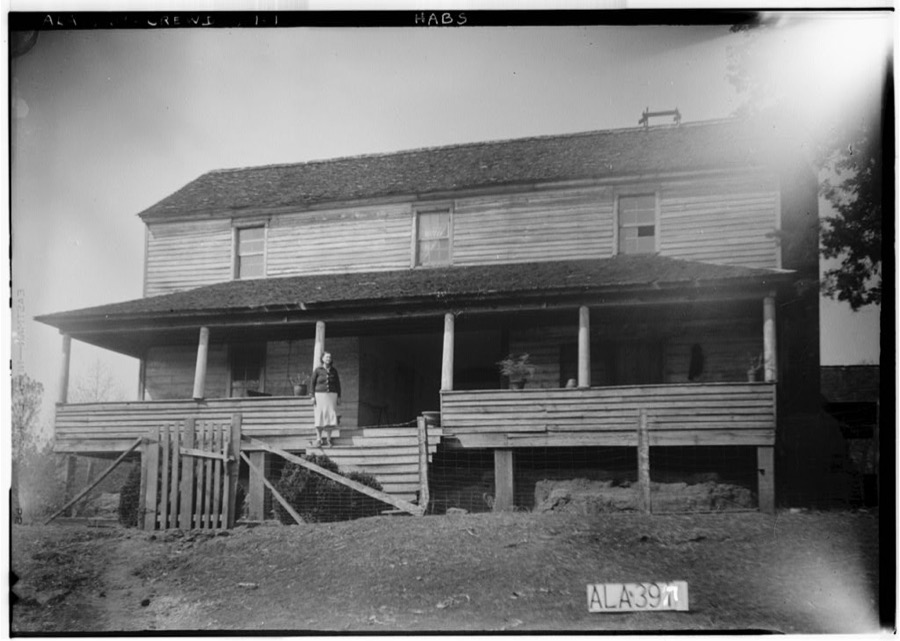
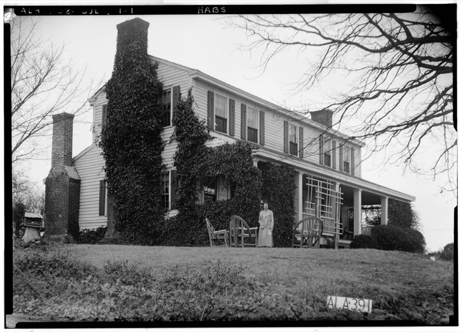
Every property in this county listed on the National Register of Historic Places, with the year it was listed and the federal nomination document.
| Photograph | Property | Type | Listed | Reference |
|---|---|---|---|---|
 | James Greer Bankhead House | building | 1975 | 75000316 |
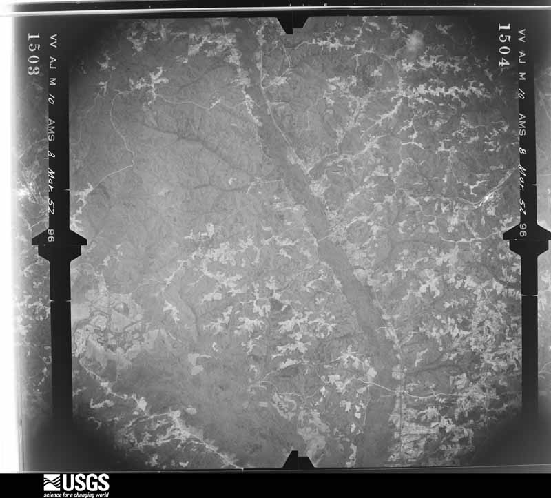
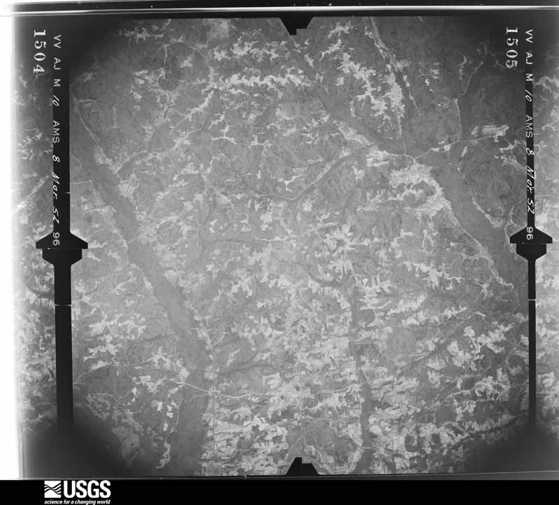
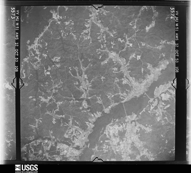
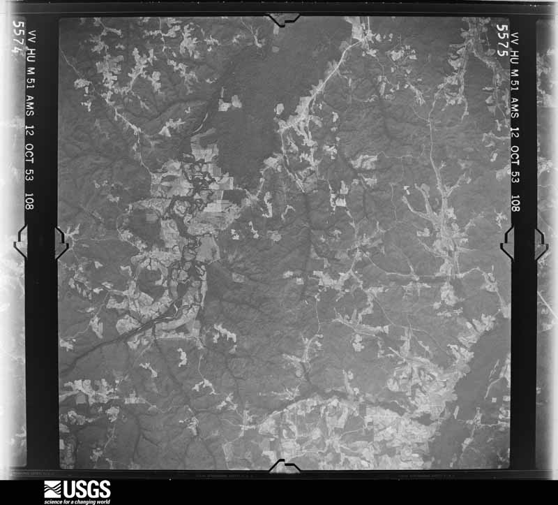
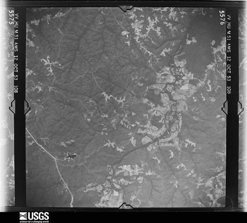
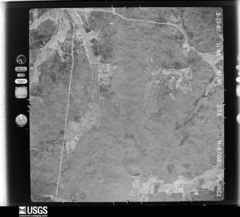
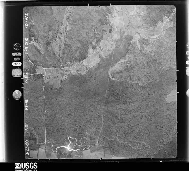
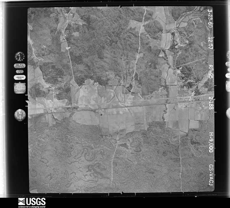
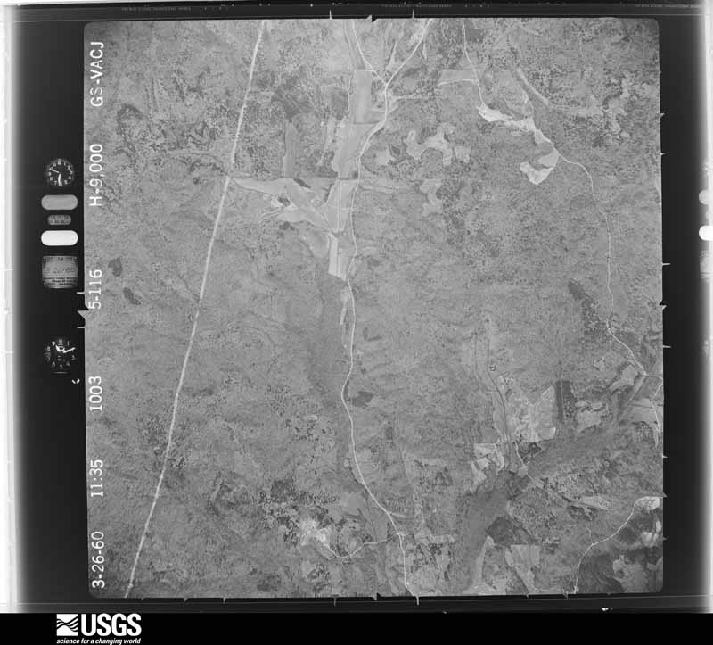
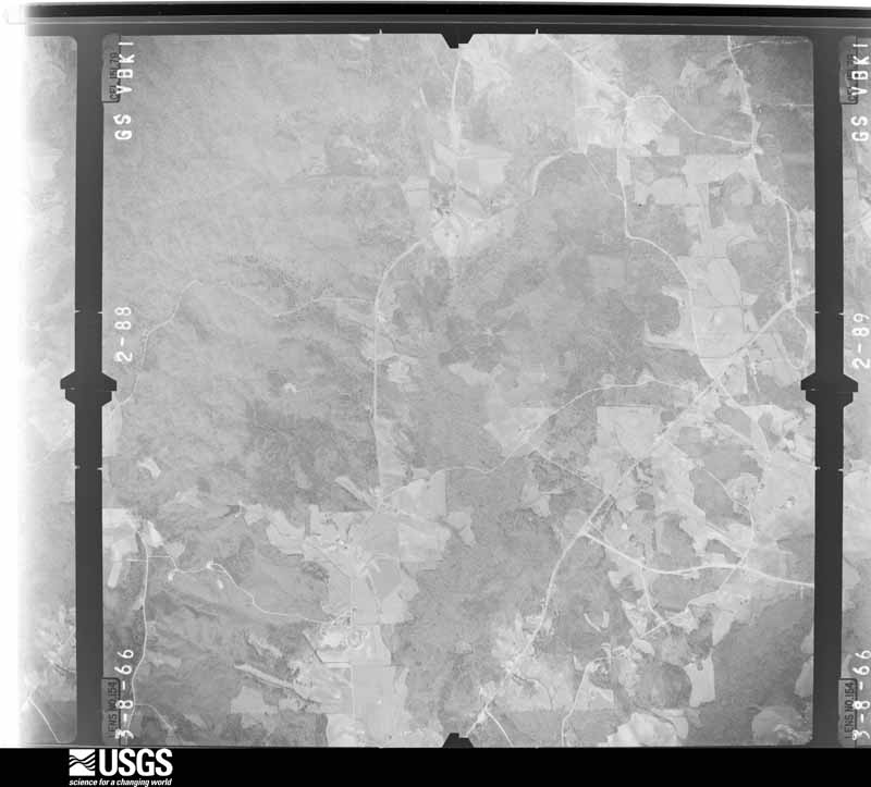
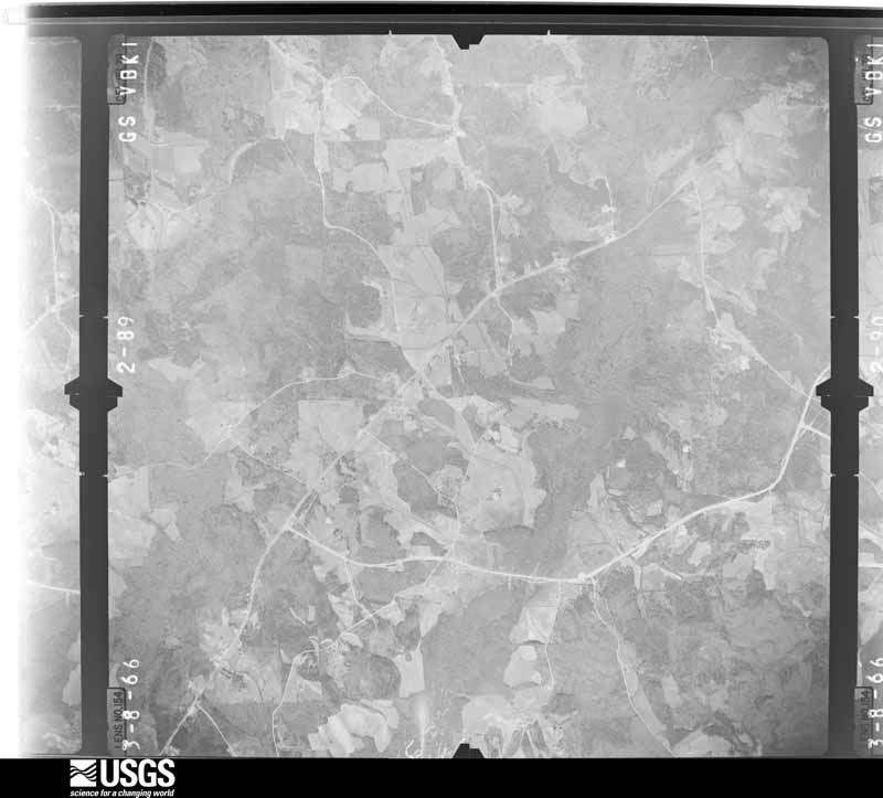
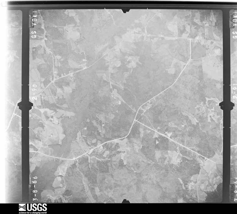
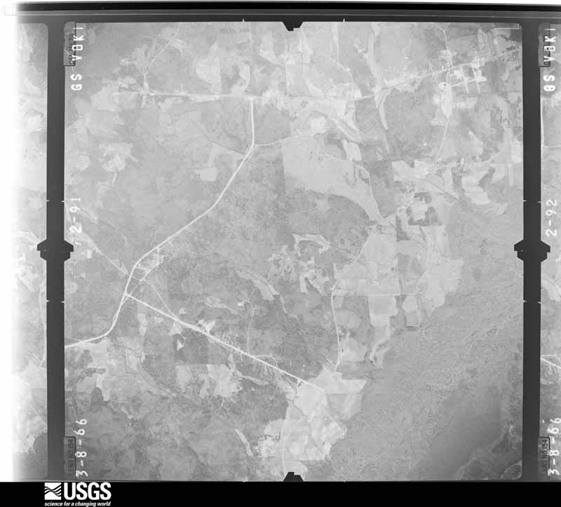
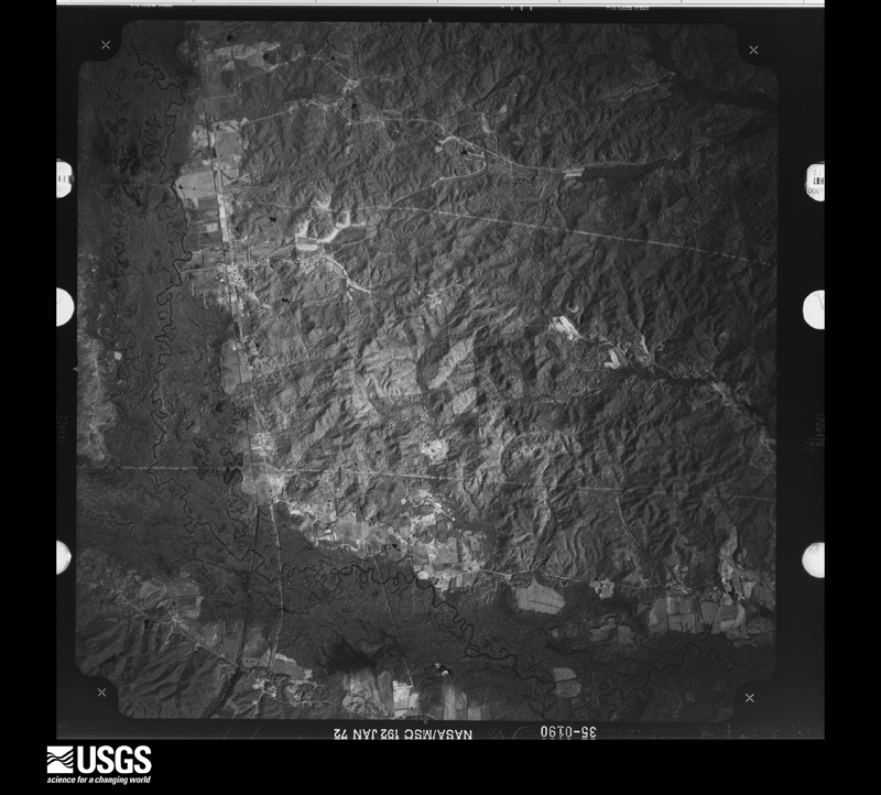
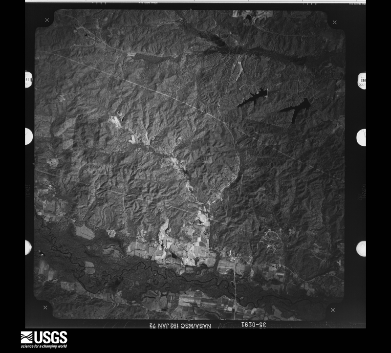
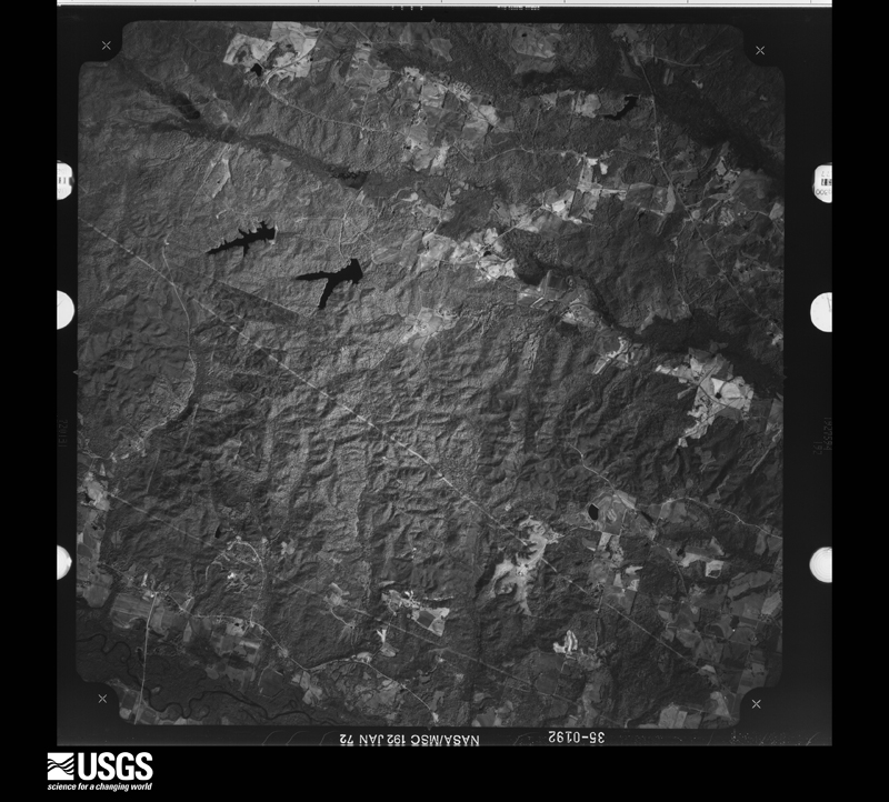
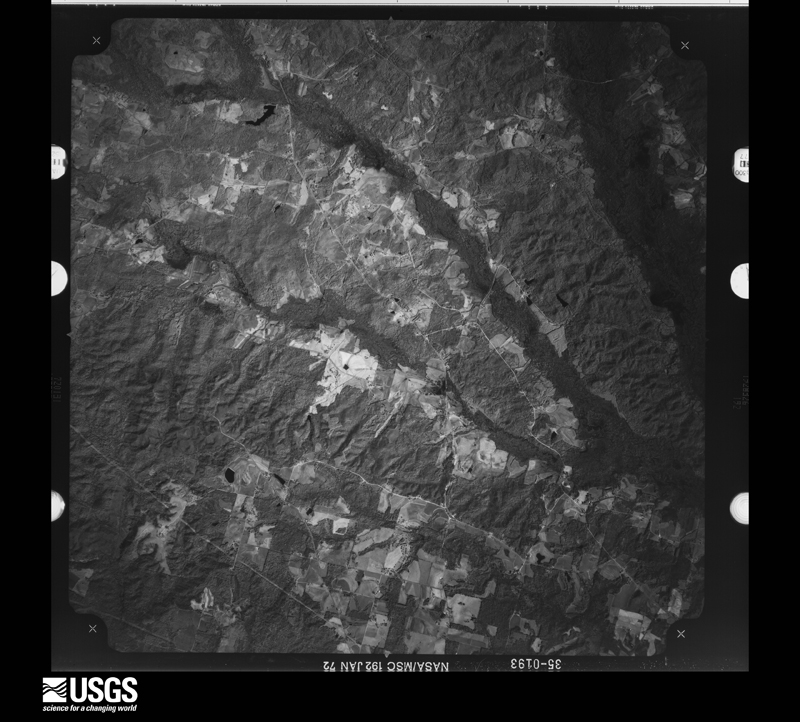
Flown by the U.S. Geological Survey between 1937 and 1989, the Aerial Photo Single Frames collection is the definitive mid-century view of the land: fields, roads and rivers as the camera saw them. The Survey holds 566 frames inside the rectangle that bounds this county; the 23 frames below were taken over the county itself, chosen across the decades of flights (at most four a year from that rectangle), so one flight cannot crowd out the rest. The full set is free to browse and download at EarthExplorer under the dataset Aerial Photo Single Frames.






The thermometers that kept this county's weather, and the gages that measured the flow of its streams, as the federal records hold them. The extremes below are measured values from those records, not estimates.
Who lived here in 1950, one enumeration district at a time, as the Census Bureau described each district. Each row opens its official National Archives result, with Population Schedules and ED Maps available there.
Every wildfire the federal occurrence database records inside this county: 579 of them, burning about 4,865 acres. 26 started naturally and 140 were recorded as arson. Each settlement page carries the fires within five miles of it.
| Reported cause | Fires |
|---|---|
| Debris and open burning | 164 |
| Arson/incendiarism | 140 |
| Missing data/not specified/undetermined | 107 |
| Smoking | 44 |
| Recreation and ceremony | 37 |
| Equipment and vehicle use | 29 |
| Natural | 26 |
| Misuse of fire by a minor | 16 |
| Railroad operations and maintenance | 10 |
| Power generation/transmission/distribution | 4 |
| Other causes | 2 |
The five largest, by the area the report gives. Two of them were set deliberately.
| Date | Cause | Size | Reported by | Name on the report |
|---|---|---|---|---|
| 21 August 2000 | Arson/incendiarism | 420 acres | Alabama Forestry Commission | not named |
| 24 March 1996 | Railroad operations and maintenance | 118 acres | Alabama Forestry Commission | not named |
| 17 August 2000 | Railroad operations and maintenance | 107 acres | Alabama Forestry Commission | not named |
| 7 April 2002 | Recreation and ceremony | 98 acres | Alabama Forestry Commission | not named |
| 19 March 2012 | Missing data/not specified/undetermined | 93 acres | Alabama Forestry Commission | NWR-20120319-004 |
| 18 June 2014 | Natural | 88 acres | Alabama Forestry Commission | NWR-20140618-001 |
| 26 November 2012 | Arson/incendiarism | 85 acres | Alabama Forestry Commission | NWR-20121126-001 |
| 15 July 2006 | Debris and open burning | 85 acres | Alabama Forestry Commission | not named |
Every settlement page carries the fires within five miles of it - see the settlement index below.
The NOAA Storm Events Database holds 502 reports for this county, causing 3 deaths, 18 injuries and about $8,135,000 in recorded property damage. Each settlement page carries the reports that name it.
| Kind of event | Reports |
|---|---|
| Thunderstorm Wind | 257 |
| Hail | 130 |
| Flash Flood | 57 |
| Tornado | 42 |
| Lightning | 6 |
| Flood | 6 |
| Funnel Cloud | 3 |
| Heavy Rain | 1 |
The most serious of them, by death, then injury, then recorded damage. The accounts are quoted exactly as the forecast office filed them.
| When | Event | Place named | Harm | What the report says |
|---|---|---|---|---|
| November 2001 | Tornado (F3) | Kennedy | 2 killed, 1 hurt, $600,000 | no account filed |
| September 2001 | Lightning | Vernon | 1 killed, 6 hurt | A Lamar County High School student, a ninth grader, was killed when he was hit by lightning during football practice according to newspaper reports. A Sheriff's dispatcher said the sky was overcast when the bolt hit the student. He was taken to the hospital immediately and later transferred to Children's Hospital in Birmingham where he died three days later. Several other students including football players and band members were also injured, none seriously. |
| April 1995 | Tornado (F1) | Vernon | 6 hurt, $650,000 | A tornado began about six miles southwest of Vernon just north of the location where County 9 crosses the Yellow Creek. The tornado moved north directly toward Vernon, but lifted about two miles southwest of the center of town. |
| November 2002 | Tornado (F2) | Fernbank | 2 hurt, $200,000 | The Fernbank Tornado was the second tornado of the evening in Alabama, but it actually began in Mississippi. The tornado crossed the Alabama-Mississippi State Line at 7:31 pm, downing trees in Luxapallila Creek. When it reached County Road 12, a well built home was deroofed along with damage to the upper floor of the house and tremendous tree destruction. The tornado continued on a northeast track, damaging mostly trees before knocking over head stones at the Ebenezer Church and flipping automobiles. The tornado weakened fairly quickly after it passed the church and ended about 7:42 pm.This tornado was rated an F2 in Alabama but was rated an F3 in Mississippi. No deaths and two injuries were reported in the Alabama portion of this tornado.The path length was 7.2 miles with an estimated width of 150 yards. |
| March 1976 | Tornado (F1) | not stated | 1 hurt, $25,000 | no account filed |
| January 2008 | Thunderstorm Wind | Vernon | 1 hurt, $10,000 | A tree fell on a vehicle, trapping a woman inside. The woman was subsequently freed by rescuers, and taken to the hospital for undisclosed injuries. |
| July 2005 | Lightning | Sulligent | 1 hurt | One man was struck by lightning in his home. The man suffered minor injuries. Numerous additional lightning strikes were reported in northeast Lamar County. |
| February 1989 | Tornado (F2) | not stated | $2,500,000 | no account filed |
| February 2001 | Thunderstorm Wind | Countywide | $300,000 | Lamar County reported numerous trees and power lines blown down. Numerous homes were damaged and at least 5 homes were totally destroyed. The most concentrated damage occurred in the southern part of the county southwest of Vernon. Small hail also fell with these storms. There were no reports of any injuries. |
| November 2004 | Tornado (F1) | Detroit | $300,000 | no account filed |
| March 1986 | Tornado (F3) | not stated | $250,000 | no account filed |
| May 1985 | Tornado (F2) | not stated | $250,000 | no account filed |
| April 1982 | Tornado (F3) | not stated | $250,000 | no account filed |
| March 2022 | Lightning | Crossville | $150,000 | Lightning struck a home that caused the structure to burn to the ground. |
| November 2010 | Tornado (EF1) | Fernbank | $145,000 | The tornado touched down about 1 mile southwest of the city of Millport, where it uprooted several trees. From there, it moved northeastward and crossed AL-17 about a half mile west of Millport. On both sides of the highway, 50 to 70 trees were either snapped off or uprooted, and a few homes sustained shingle damage. Tree limbs were actually embedded into the roof of one home. In the same general area, a tractor trailer was overturned and a metal roof was blown off a garage building. In addition, Metal roof stripping was blown off a barn roof and was transported 100 yards downstream into the top of a 60 foot tree. The tornado lifted on the north side of Millport, near James Street, where a few more trees were snapped off and a barn was damaged. |
| February 2001 | Thunderstorm Wind | Countywide | $120,000 | Severe thunderstorms produced damaging winds across Lamar County. The most significant damage occurred across the northern half of the county mainly from Sulligent northward. Numerous trees and power lines were blown down and a roof was completely torn off a building. On the Marion and Lamar county line, one building was destroyed and a 180 ft. high radio tower repeater site was knocked over. Hail of unknown size also accompanied these storms. No injuries were reported. |
| January 2008 | Tornado (EF3) | Molloy | $105,000 | This tornado is a continuation of a tornado that originally touched down in Lowndes County Mississippi. It crossed into Alabama near Willie Greer Road, just north of AL-18. From there, it continued to move east-northeast, remaining just north of AL-18 as it passed close to the town of Molloy. The tornado finally lifted near McNees Crossing Road, just northeast of Molloy. Along its path in Alabama, the tornado took the roof off of two homes, destroyed 2 wooden barns, moved the foundation of 2 mobile homes, and uprooted several huge trees. Although it only produced EF-2 damage in Alabama, the entire tornado was rated EF-3 due to the damage in Mississippi. |
| December 2009 | Flash Flood | Vernon | $100,000 | Several roads in the city of Vernon had to be closed due to flooding, including AL-17 and AL-18. Water eventually reached car hood level on a portion of AL-17. An apartment complex on AL-18 became flooded. |
| January 2009 | Flash Flood | Crews | $100,000 | Heavy rainfall produced flooding at numerous locations across Lamar County. Close to 40 roads were closed due to high water, including 10 that were completely washed out. Just east of Vernon, 3 people were rescued without injury after their car was caught in fast moving flood waters. |
| May 2003 | Hail | Detroit | $100,000 | Golf ball size hail fell in and near the town of Detroit. Several automobiles received broken windows and dents from the hail. The hail may have been larger in the surrounding rural areas. A few trees were also blown down in the area. Very little rain fell during the storm. |
| August 2002 | Lightning | Sulligent | $90,000 | Lightning was believed to be the cause of a house fire on US 278 just west-southwest of the center of Sulligent. The fire was reported at 6:45 pm CDT and the house was fully engulfed when the Sulligent Volunteer Fire Department arrived. The house was a total loss. |
| March 2006 | Thunderstorm Wind | Countywide | $80,000 | Virtually all of Lamar County was affected by severe thunderstorm winds. One barn suffered moderate damage along County Road 28 southwest of Vernon. Hundreds of trees were either blown down, snapped off, or uprooted across Lamar County. Many power lines were also knocked down. The roofs of an elementary school and a bowling alley were partially torn off in Vernon. A few additional roofs were also partially removed from a few structures in Sulligent along Highway US 278 and State Highway 17. Several other homes and businesses suffered varying degrees of roof damage. Small hail collected several inches deep and covered the ground in spots. Wind gusts were estimated between 70 and 85 mph across the county. |
| September 2005 | Tornado (F1) | Kennedy | $70,000 | no account filed |
| January 2005 | Thunderstorm Wind | Countywide | $60,000 | A squall line crossed Lamar County and produced wind damage along its path. Several trees were blown down along SR 17 near Pine Springs. Several trees were blown down, a fire station received minor roof damage, and several homes sustained shingle damage in the Henson Springs area. One barn was blown down near Fern Bank. The public reported a funnel cloud associated with the line of storms near Sulligent. |
| June 2002 | Thunderstorm Wind | Vernon | $60,000 | Several trees were blown down in and around Vernon. Some of the trees landed on buildings causing damage. A few signs were also blown down and one landed on an automobile. A church steeple was knocked off the First United Methodist Church and a pavilion was destroyed. No injuries were reported. |
| April 1996 | Thunderstorm Wind | Millport | $60,000 | no account filed |
| November 2010 | Flash Flood | Molloy | $50,000 | Several locations in western Lamar County became covered with water and temporarily impassable, including Old Calvert Road, Easlon Branch Road, and Millie. |
| February 2008 | Tornado (EF1) | Beaverton | $50,000 | The tornado touched down just southwest of the town of Beaverton, along US-278, and then tracked northeast from there. The metal roof of the Beaverton Post Office was blown off, and City Hall also sustained roof damage. Also in Beaverton, two trains were stranded on the tracks due to a power outage. The conductors were aware of the tornado warnings because they said they heard the tornado sirens about 20 minutes before the storm hit. One of the railroad personnel apparently witnessed the tornado. Elsewhere along the path, several hardwood trees were uprooted and many more softwood trees were snapped off. A few homes suffered significant damage from downed trees, and a few roads were temporarily closed due to the fallen trees. The tornado continued into Marion County. |
| April 1994 | Thunderstorm Wind | not stated | $50,000 | Thunderstorm winds downed trees in scattered areas throughout the county. All of Vernon was reported without power at one point during the storm. |
| June 1994 | Thunderstorm Wind | Millport | $50,000 | Thunderstorm wind downed a number of trees in Millport including one that struck a home. Another home sustained minor roof damage. |
| June 1994 | Thunderstorm Wind | Vernon | $50,000 | Trees were uprooted and numerous tree limbs were downed in the Molloy community located about five miles west of Vernon. A car was crushed by one tree and several houses sustained damaged when trees fell on them. |
| June 1994 | Thunderstorm Wind | NR Sulligent and | $50,000 | Hail ranging in size from three-eighths to three-quarters of an inch fell in northern Lamar County. Trees were also reported downed across the northern part of the county with one tree on a house in Beaverton. |
| March 1996 | Thunderstorm Wind | Fernbank | $50,000 | no account filed |
| March 1996 | Hail | Fernbank | $50,000 | no account filed |
| June 1998 | Thunderstorm Wind | Countywide | $45,000 | Numerous trees and power lines were down across the county. On SR 17, between Vernon and Sulligent, there were several accidents due to a tree falling on the road and cars running into the tree. |
| July 1995 | Thunderstorm Wind | Sulligent | $45,000 | Trees were reported down between Fernbank and Millport in southern Lamar County. Half dollar to golf ball-size hail along with smaller hail was reported at Crossville in eastern Lamar County. Dime-size hail was reported at Vernon. Trees were downed in Sulligent including at least one that fell onto a mobile home. Several trees fell on cars on Mulberry Road south of Sulligent and about three-fourths of the city was without power at one time. |
| December 2004 | Tornado (F2) | Millport | $30,000 | A tornado crossed the Mississippi-Alabama state line at 402 AM. The tornado caused F2 damage along its relatively short path in Mississippi. The tornado produced only F0 damage in Alabama. The tornado path in Alabama started near the Luxapallia Creek in far southwest Lamar County. The tornado snapped off and uprooted numerous trees along its entire northeastward path. The tornado ended near the intersection of Baines Circle and CR 12. One home sustained shingle damage and a few out-buildings were damaged near the ending point. The tornado was approximately 3.0 miles long and 75 yards wide at its widest point in Alabama. The tornado began approximately 3 miles southwest of Steens, Mississippi where it produced the most significant damage.Begin: 33 33.808/88 16.255 End: 33 35.081/88 13.692 |
| July 2000 | Thunderstorm Wind | Countywide | $30,000 | Numerous trees and power lines were blown down across Lamar County. Several trees that were knocked down landed on homes. No injuries were reported. |
| April 1998 | Tornado (F1) | Hightogy | $30,000 | A small tornado began just west of CR 9 and the Star community along Yellow Creek and moved east-northeast ending at SR 17 at Hightogy. Numerous trees were snapped and uprooted. Several outbuildings, mostly barns, were damaged along with three houses in the Hightogy area. Two houses lost shingles while a third lost a porch. |
| June 2011 | Thunderstorm Wind | Crossville | $25,000 | About 30 trees were blown down in the Crossville community, east of Vernon. A large limb fell through the roof of a home. |
| July 2010 | Thunderstorm Wind | Vernon | $25,000 | Trees and Power lines were blown down across much of central Lamar County including in and around Vernon and Bedford. |
| January 1998 | Flash Flood | Countywide | $25,000 | no account filed |
| January 1974 | Tornado (F2) | not stated | $25,000 | no account filed |
| June 2004 | Lightning | Countywide | $22,000 | Several lightning strikes caused damage across Lamar County. The guard rails along a railroad track were damaged in Sulligent. Several trees were damaged by the lightning strikes in Sulligent and Vernon. One home was damaged in Sulligent. No injuries were reported. |
| June 2003 | Thunderstorm Wind | Sulligent | $22,000 | Several trees and power lines were blown down in and around the city of Sulligent. The most concentrated damage was on the west side of town. Small hail also accompanied the storm. |
| April 2011 | Thunderstorm Wind | Beaverton | $20,000 | Several trees were blown down in an area near and northeast of Beaverton. One large tree fell onto a vehicle on US-278 in Beaverton. The occupants of the vehicle were rescued without injury. |
| June 2009 | Thunderstorm Wind | Detroit | $20,000 | Numerous trees were blown down across Lamar County, starting near Detroit in the north, continuing through the city of Vernon, all the way to Kennedy in the south. |
| January 2007 | Thunderstorm Wind | Vernon | $20,000 | Thunderstorm winds damaged several structures in southwest Vernon, just west of SR 17 and just south of SR 18. Trees and power lines were blow down, three tin warehouses sustained door and wall damage, and a nearby home sustained shingle damage. The Lamar Lumber and Supply building sustained interior damage due to one of the large bay doors being left open and wind funneling through and causing windows to be blown outward. The damage area was 1/2 mile wide, with winds estimated between 60 and 70 mph. |
| March 2006 | Tornado (F0) | Kennedy | $20,000 | An F0 tornado touched down near the intersection of State Highway 17 and State Highway 96, approximately 1.5 miles southwest of Kennedy. The tornado moved northeastward and crossed County Road 49 before it lifted just east of Howell Road and State Highway 96. Several trees were blown down along the damage path and a few mobile homes suffered generally minor damage. |
| November 2005 | Tornado (F0) | Vernon | $20,000 | A brief tornado touched down in Vernon. The tornado partially tore the roof off a building supply company and slightly damaged a few other adjacent smaller buildings. The damage occurred along SR 18 approximately one block west of SR 17. Begin/End: 33.7546/88.1118 |
| June 1998 | Thunderstorm Wind | Vernon | $20,000 | Numerous trees were down in Vernon and south of Vernon. |
| August 2003 | Flash Flood | Countywide | $17,000 | Very heavy rain in a short period of time produced flooding in Lamar County. Water washed over the top of several bridges in Millport and Sulligent. A few streets were flooded in Vernon. |
| August 2010 | Thunderstorm Wind | Vernon | $15,000 | Numerous trees were knocked down across the southern half of the County. |
| July 2010 | Hail | Vernon | $15,000 | Quarter sized hail fell just south of Vernon. |
| June 2010 | Thunderstorm Wind | Molloy | $15,000 | Numerous trees were blown down on Aberdeen Road just east of the state line. Other small debris was scattered in the area, with a strong smell of pine in the air. |
| May 1997 | Thunderstorm Wind | Vernon | $15,000 | Trees were down in several areas around Vernon. One fell on a house knocking a hole in the roof and damaging the ceiling and walls. |
| May 2003 | Hail | Detroit | $14,000 | Golf ball size hail was reported from Detroit to Henson Springs. |
| April 2005 | Thunderstorm Wind | Millport | $13,000 | Several trees were blown down across the southern part of the county. One mobile home park reported minor damage from fallen trees. |
| January 1996 | Thunderstorm Wind | Vernon | $12,000 | no account filed |
| February 2011 | Thunderstorm Wind | Vernon | $10,000 | Trees and powerlines were knocked down across much of the county. |
The Survey's mineral resources record lists 6 workings inside this county. 3 still produce and 3 are closed or unrecorded. Each settlement page carries the workings within five miles of it.
| Commodity | Workings |
|---|---|
| Sand and Gravel, Construction | 3 |
| Iron | 3 |
The least common of them first, because a county's hundredth gravel pit says nothing its first ten did not.
| Where | Site | Commodity | Status | Recorded |
|---|---|---|---|---|
| Fayco, Inc. Pit | Sand and Gravel, Construction | Producer | ||
| Holiday Pit | Sand and Gravel, Construction | Producer | ||
| Mixon Pit | Sand and Gravel, Construction | Producer | Unconsolidated Sediments | |
| Unnamed | Iron | Unknown | ||
| Unnamed | Iron | Unknown | ||
| Unnamed | Iron | Unknown |
Named settlements recorded in the Geographic Names Information System, each with the topographic sheets covering it. Villages, hamlets and abandoned places alike. Each is shown with the nearest named watercourse or landform and the survey quadrangle it falls on.
Sulligent census division · 35544 · On Turkey Branch · Beaverton quadrangle
12 sheets, 1953 to 1984
Sulligent census division · 35586 · On Crews Mill Branch · Beaverton quadrangle
12 sheets, 1953 to 1984
Vernon census division · 35592 · On Browns Mill Creek · Hightogy quadrangle
13 sheets, 1953 to 1984
Sulligent census division · 35552 · On Reedy Branch · Detroit quadrangle
10 sheets, 1956 to 1984
Millport census division · 35576 · On Brushy Creek · Fernbank quadrangle
12 sheets, 1953 to 1984
Sulligent census division · 35586 · On Crump Branch · Henson Springs quadrangle
8 sheets, 1956 to 1984
Millport census division · 35574 · On Mill Creek · Kennedy quadrangle
10 sheets, 1953 to 1984
Sulligent census division · 35586 · On Little Yellow Creek · Bluff quadrangle
11 sheets, 1953 to 1984
Millport census division · 35576 · On Driver Creek · Millport quadrangle
12 sheets, 1953 to 1984
Vernon census division · 35586 · On Watson Creek · Millport NW quadrangle
13 sheets, 1953 to 1984
Sulligent census division · 35586 · On Pine Springs Creek · Sulligent quadrangle
12 sheets, 1953 to 1984
Sulligent census division · 35586 · On Pine Springs Creek · Sulligent quadrangle
12 sheets, 1953 to 1984
The complete index, with nothing left out. Each of these is a separate record with its own page: a federal survey report, or the case file that argued a property on to the National Register. Both are public domain and reproduced word for word.