 Block
From the record
14 National Register listings published here, 1 of them a National Historic Landmark.
Sources: the National Register database, National Park Service
39 topographic sheets and 8 fire insurance atlases across 1 place.
14 National Register listings published here, 1 of them a National Historic Landmark.
Sources: the National Register database, National Park Service
Taken for the Office of War Information and the Farm Security Administration, who photographed the country between 1935 and 1944. Works of United States government photographers, with no known restriction on use. Each opens its catalogue record.
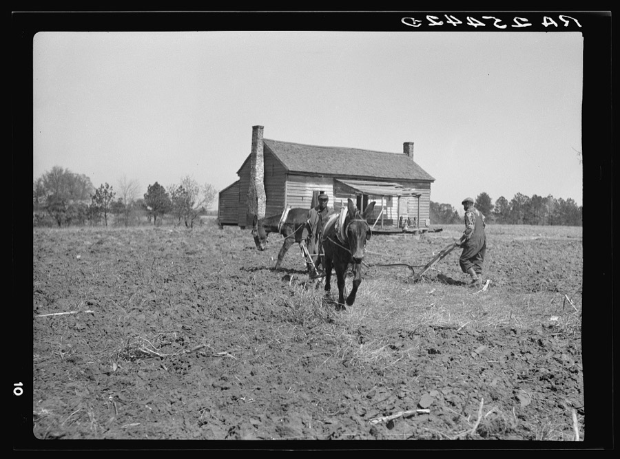
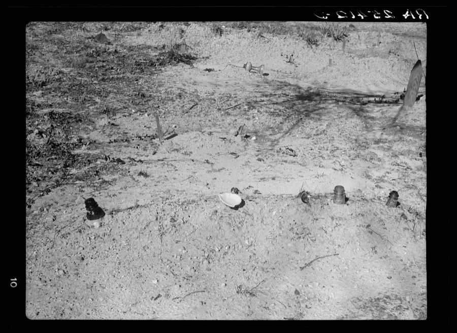
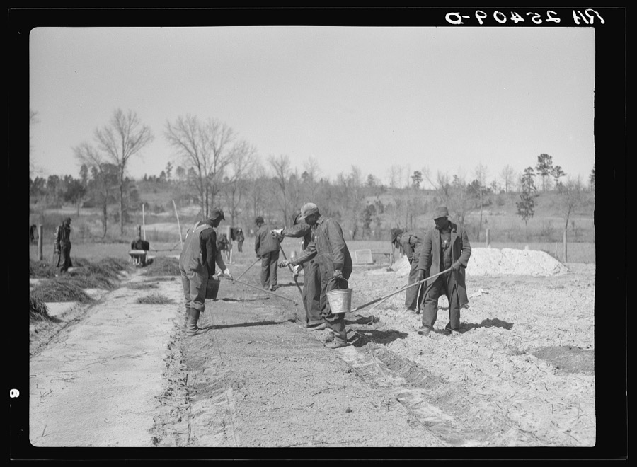

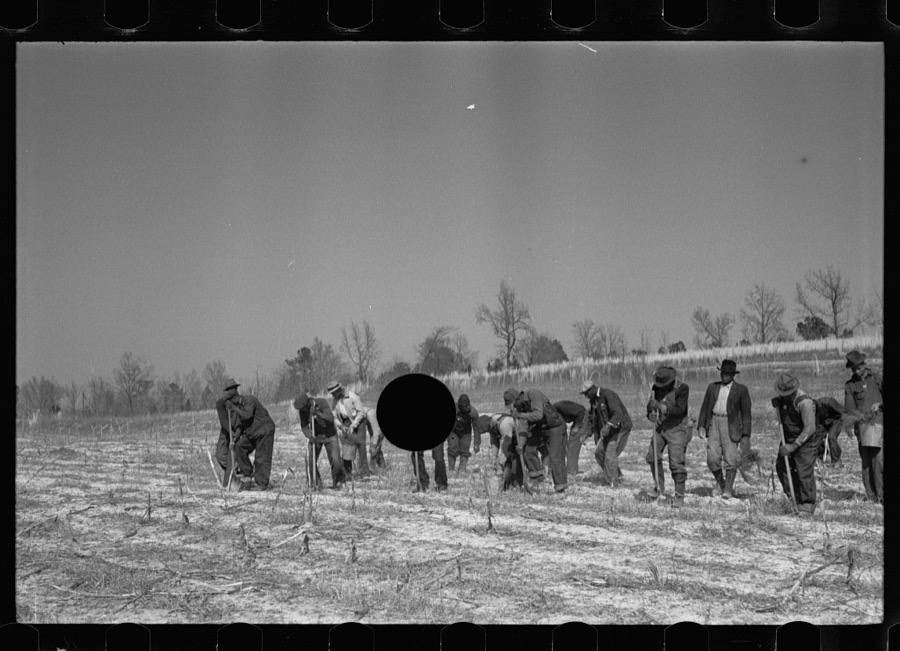
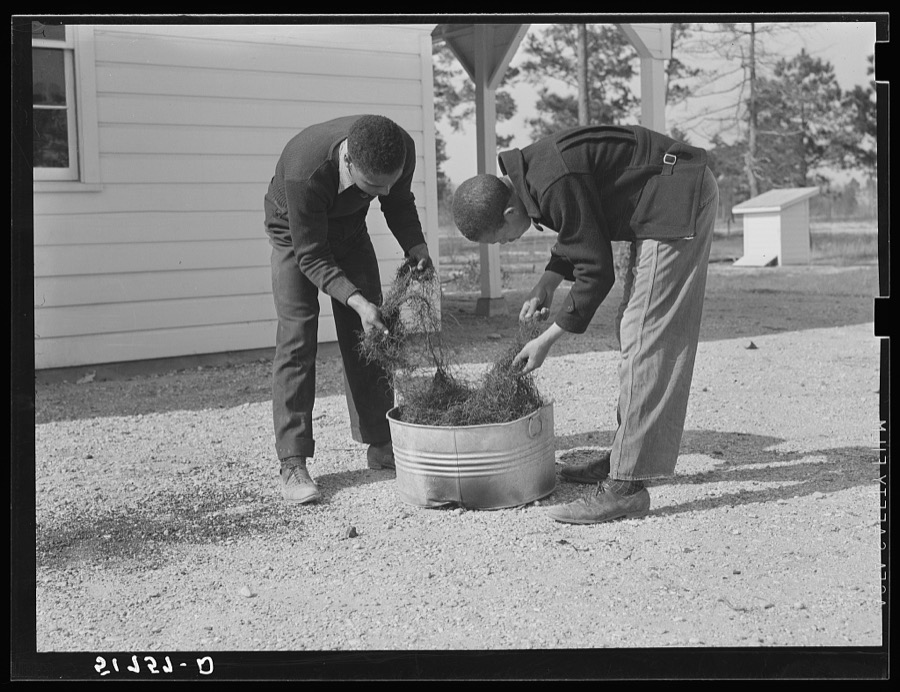
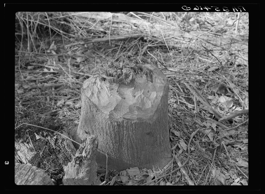
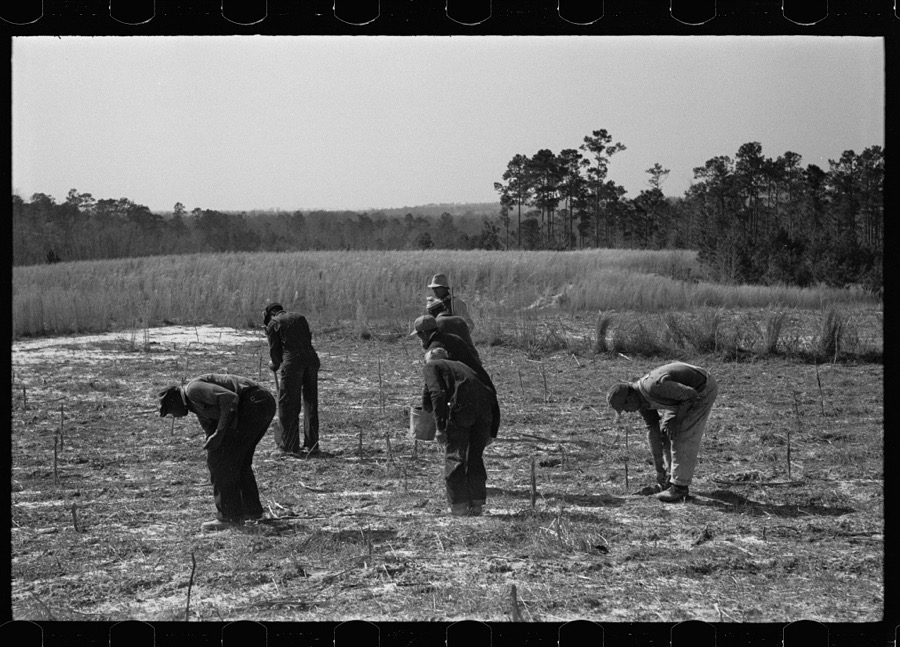
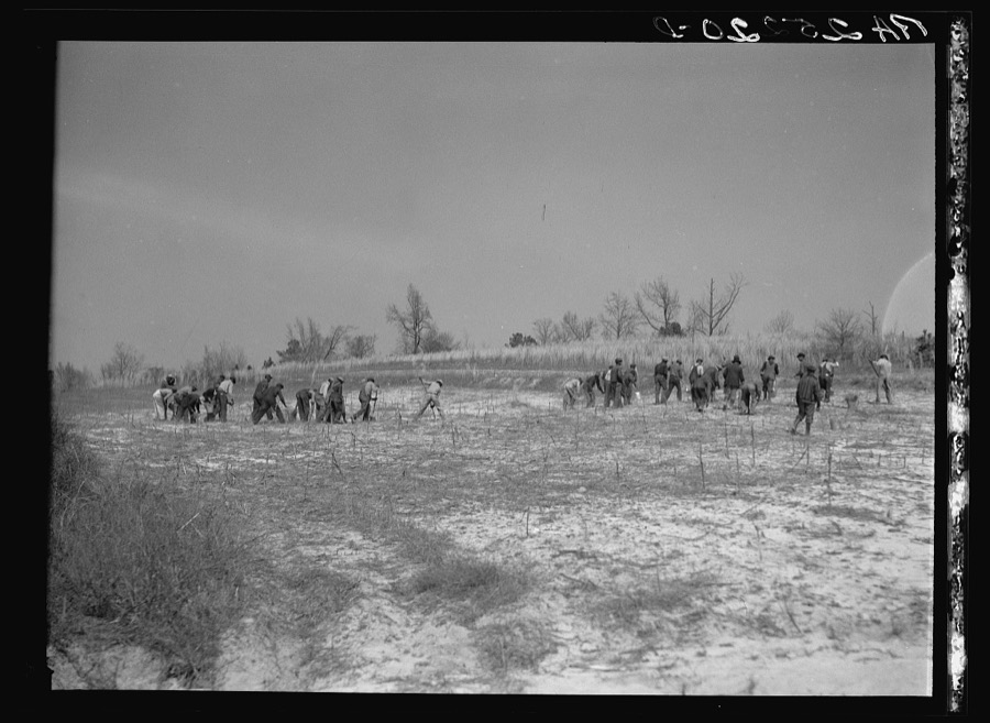
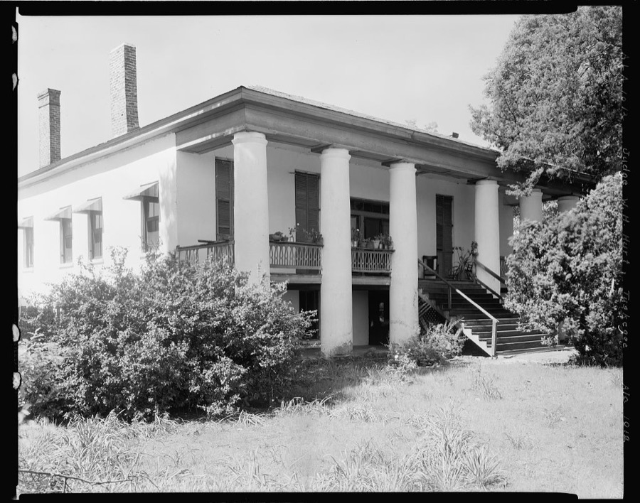
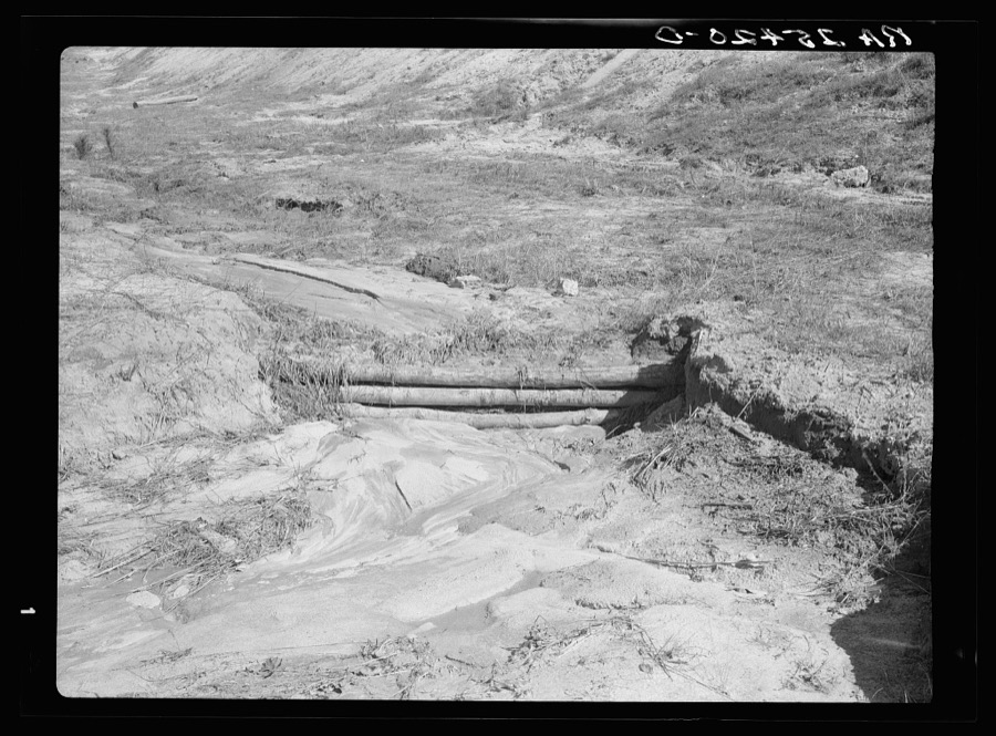
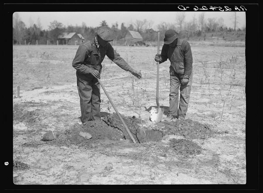


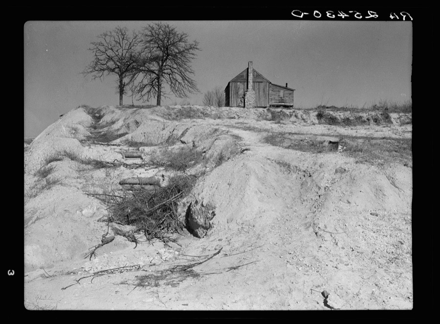
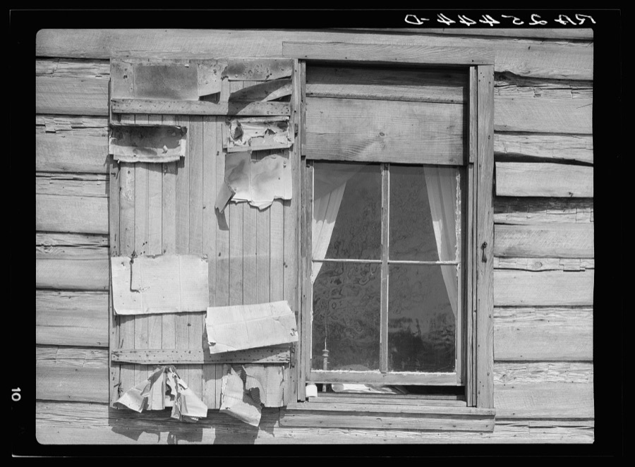
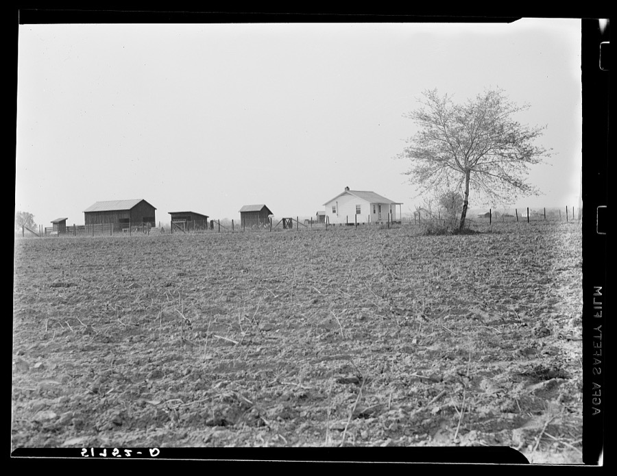
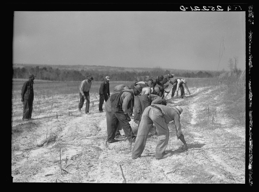
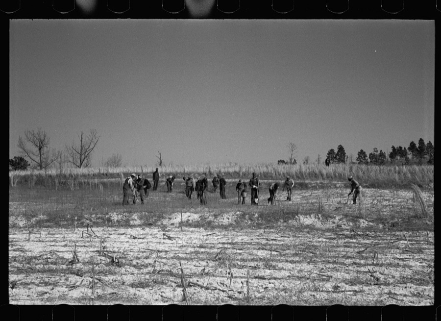
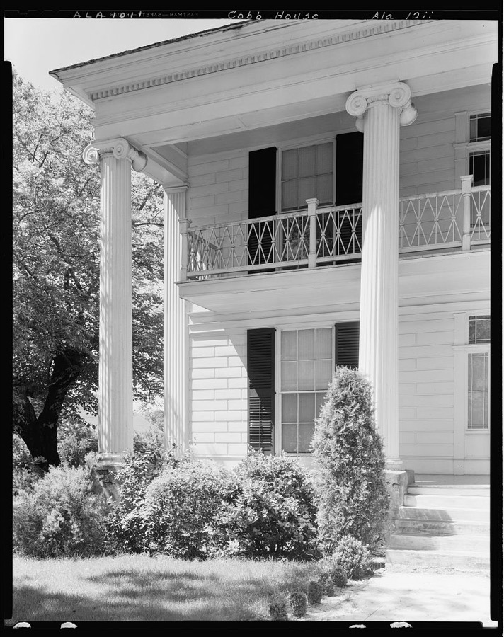
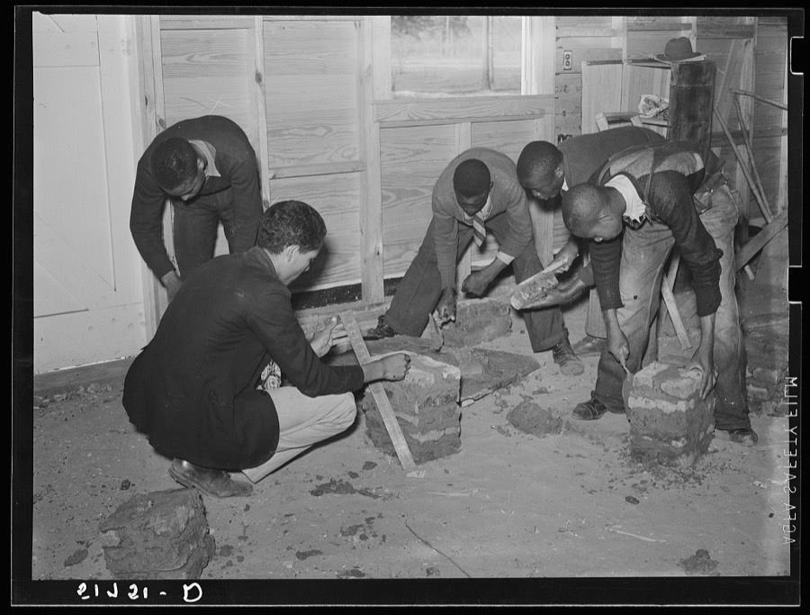

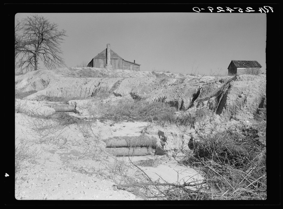

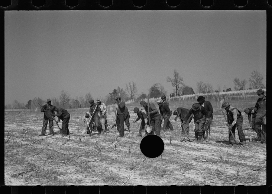
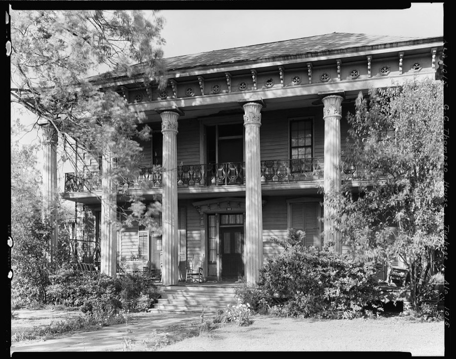
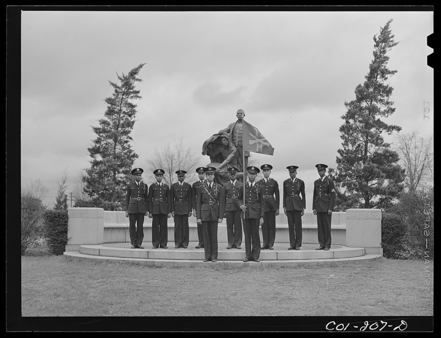
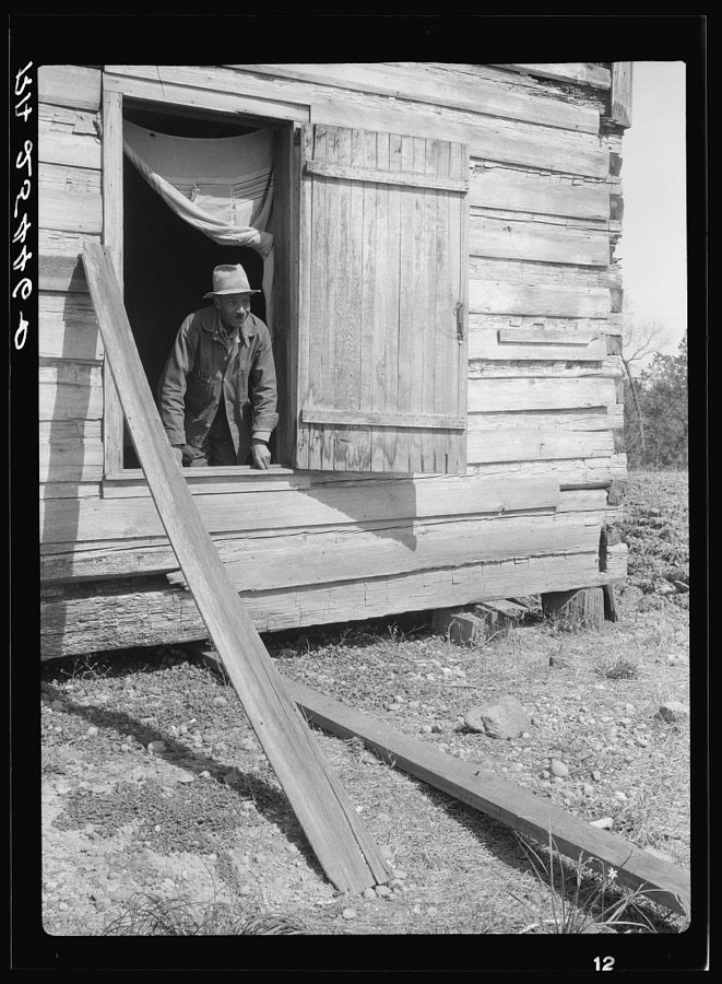
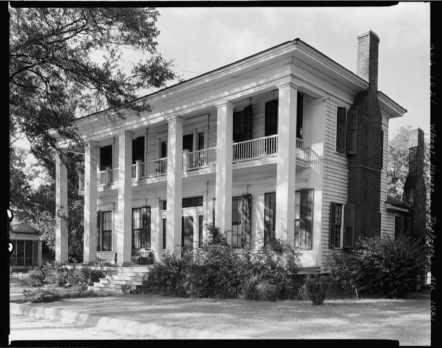

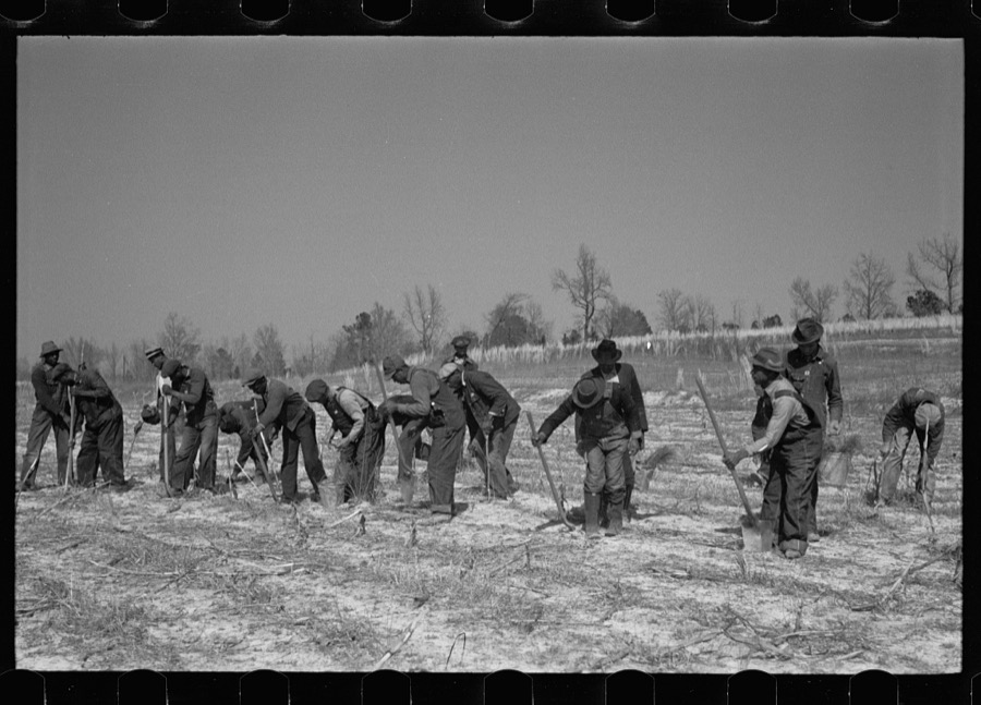
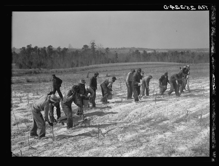
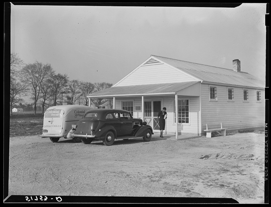


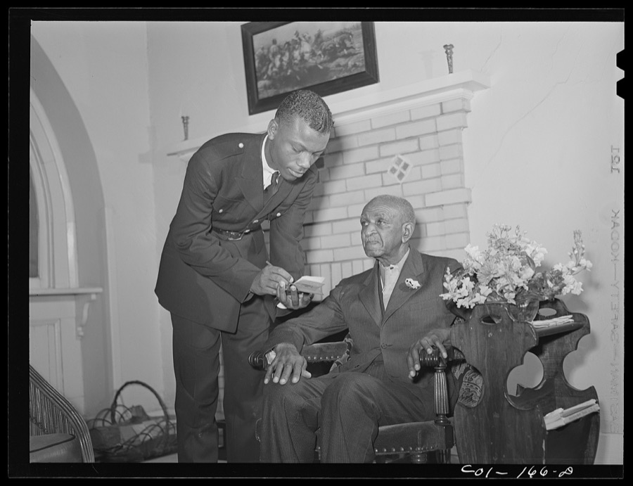
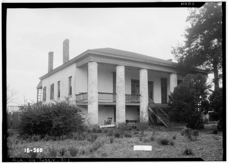
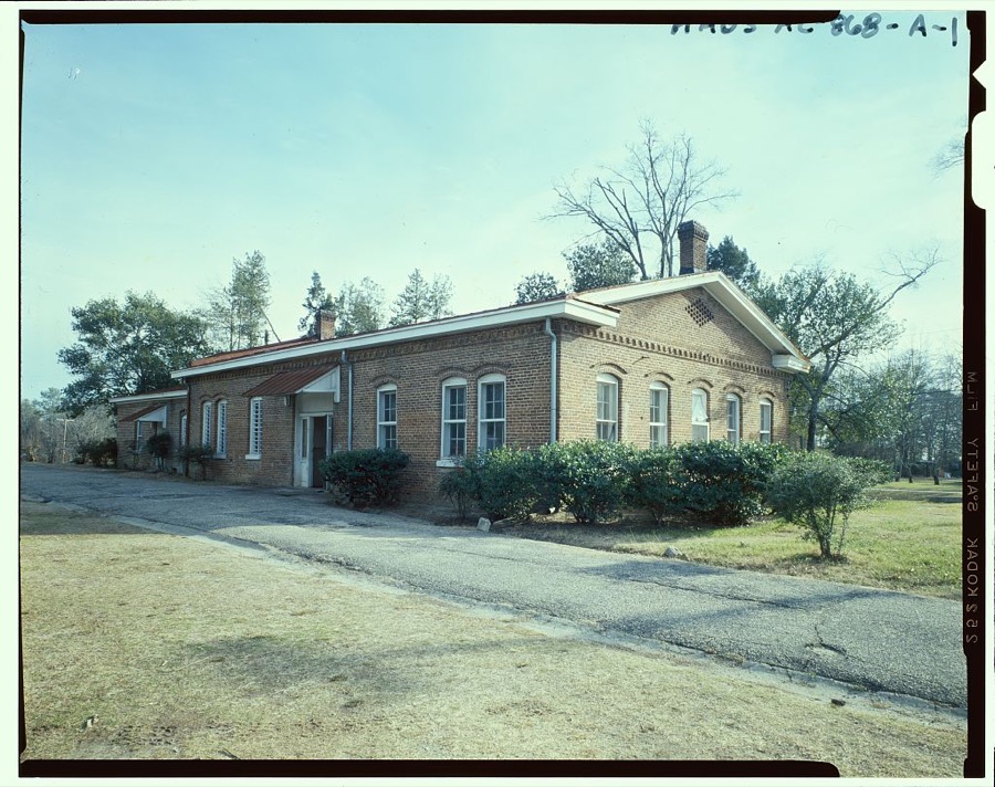
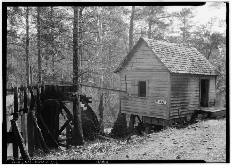
Every property in this county listed on the National Register of Historic Places, with the year it was listed and the federal nomination document.
| Photograph | Property | Type | Listed | Reference |
|---|---|---|---|---|
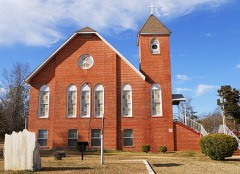 | Butler Chapel African Methodist Episcopal Zion Church | building | 1995 | 95001022 |
| Creek Stand A.M.E. Zion Church Cemetery | site | 2016 | 15000432 | |
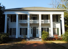 | Creekwood | building | 1989 | 89000310 |
 | Grey Columns | building | 1980 | 80000364 |
 | Macon County Courthouse | building | 1978 | 78000495 |
| Macon County High School | district | 2020 | 100005781 | |
 | Main Street Historic District | district | 1984 | 84000650 |
| North Main Street Historic District | district | 1985 | 85000445 | |
| Shiloh Missionary Baptist Church Cemetery | site | 2016 | 15000433 | |
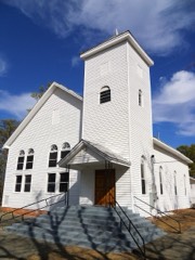 | Shiloh Missionary Baptist Church and Rosenwald School | district | 2010 | 10000522 |
| St. Paul Baptist Church and Armstrong School | district | 2023 | 100009106 | |
 | Tuskegee Airmen National Historic Site | site | 1998 | 01000284 |
| Tuskegee Institute National Historic Site | district | 1966 | 66000151 | |
 | Tuskegee Veterans Administration Hospital | district | 2012 | 12000140 |
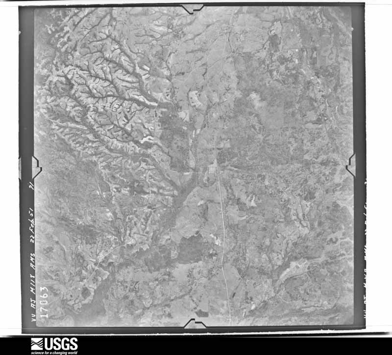
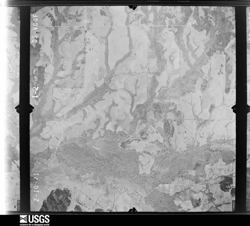
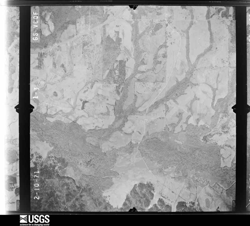
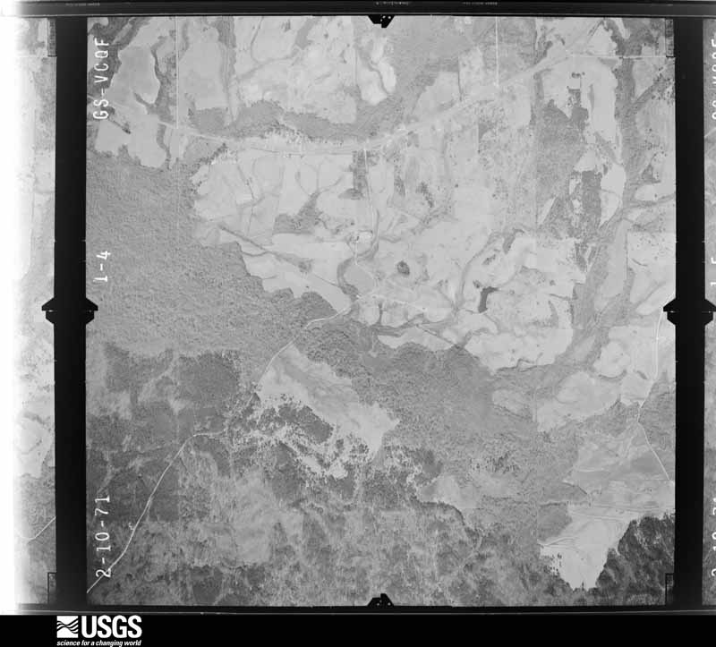
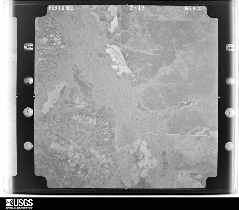
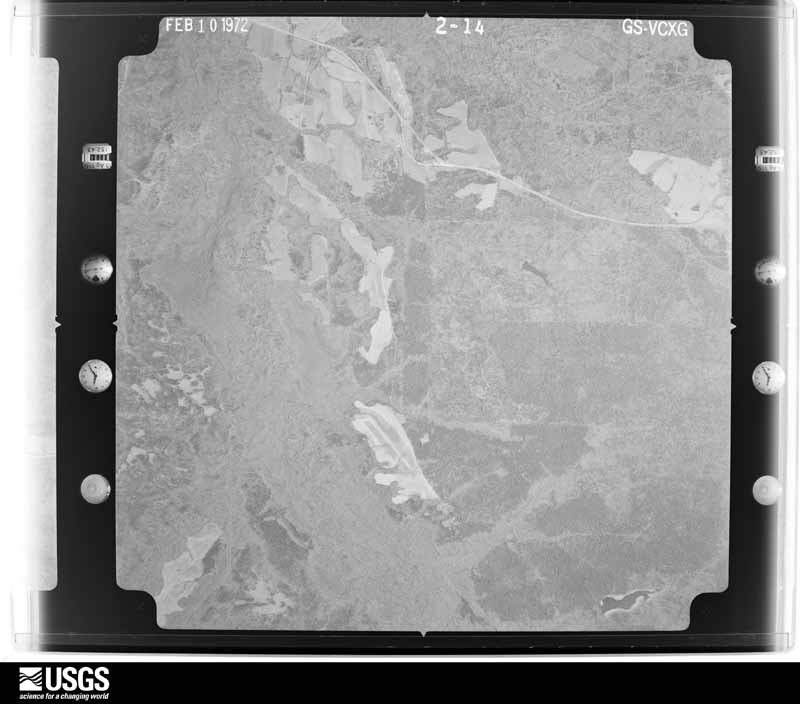
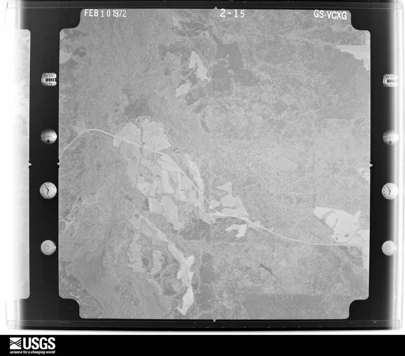
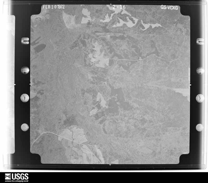
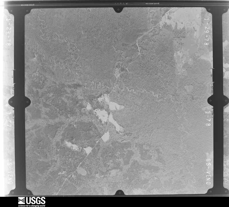
Flown by the U.S. Geological Survey between 1937 and 1989, the Aerial Photo Single Frames collection is the definitive mid-century view of the land: fields, roads and rivers as the camera saw them. The Survey holds 795 frames inside the rectangle that bounds this county; the 21 frames below were taken over the county itself, chosen across the decades of flights (at most four a year from that rectangle), so one flight cannot crowd out the rest. The full set is free to browse and download at EarthExplorer under the dataset Aerial Photo Single Frames.
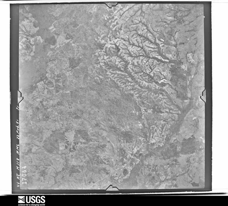
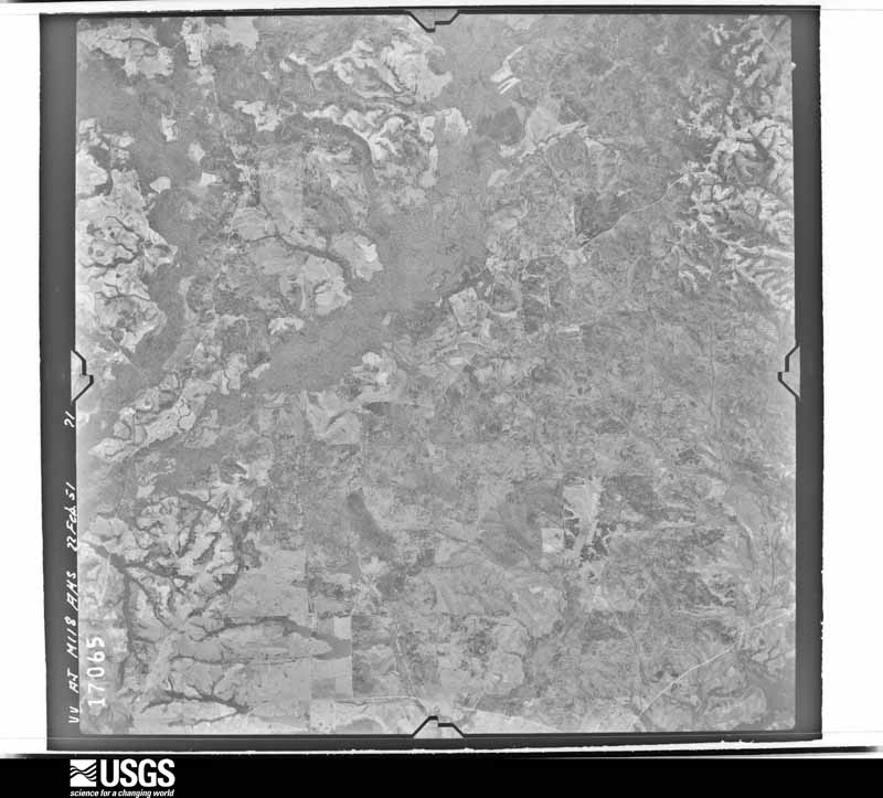
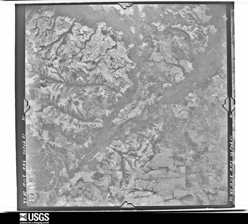
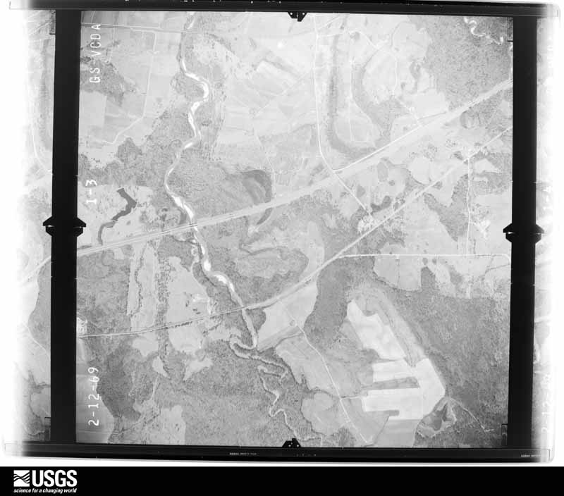
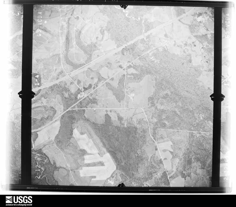
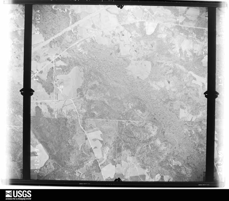
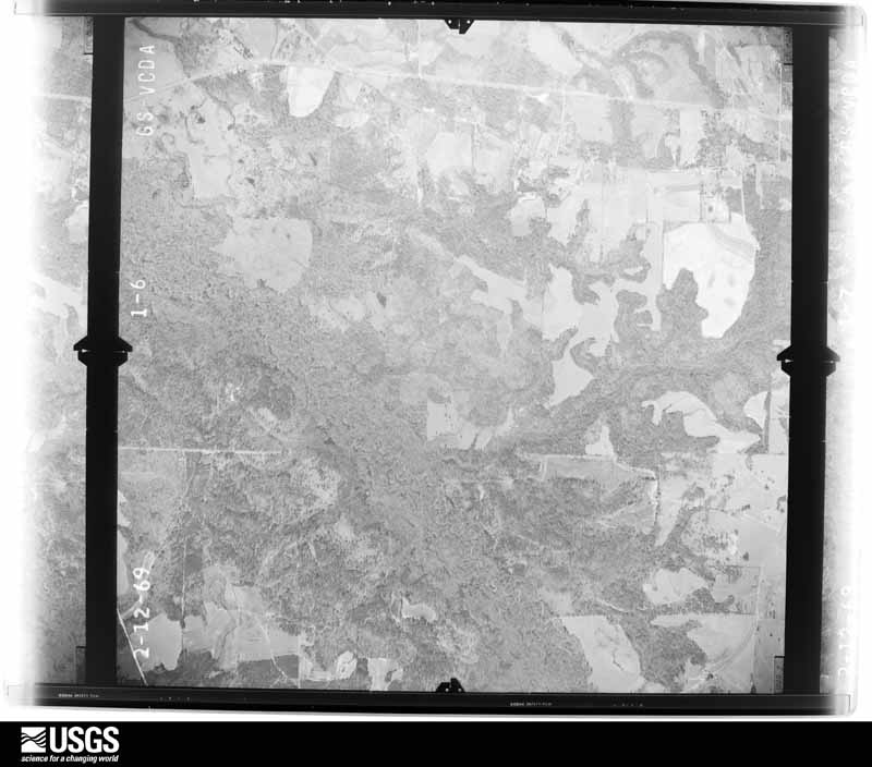
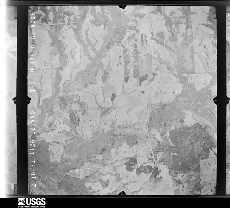
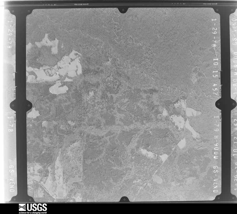
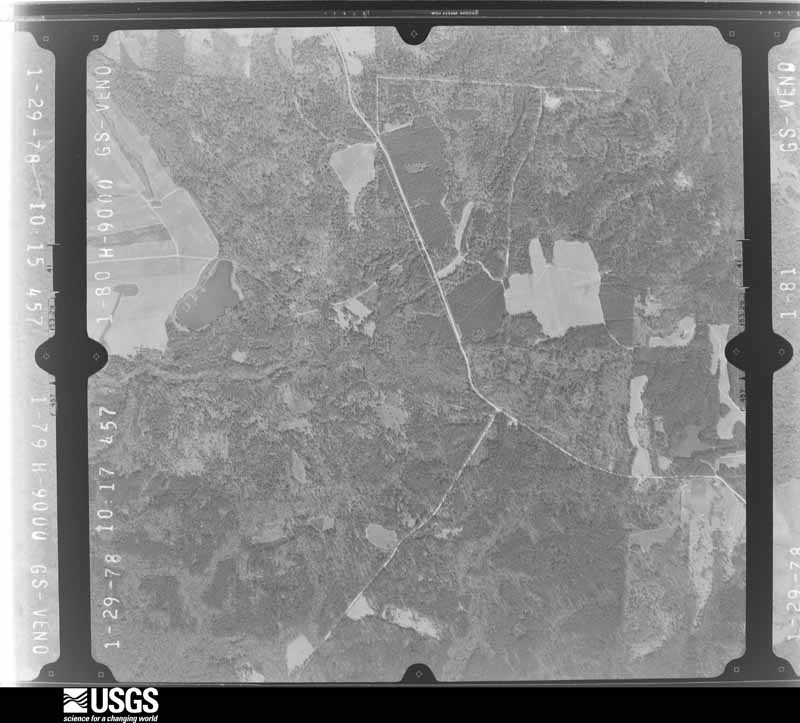
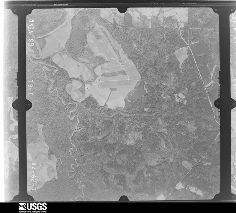

The thermometers that kept this county's weather, and the gages that measured the flow of its streams, as the federal records hold them. The extremes below are measured values from those records, not estimates.
Who lived here in 1950, one enumeration district at a time, as the Census Bureau described each district. Each row opens its official National Archives result, with Population Schedules and ED Maps available there.
Every wildfire the federal occurrence database records inside this county: 1,515 of them, burning about 26,939 acres. 16 started naturally and 475 were recorded as arson. Each settlement page carries the fires within five miles of it.
| Reported cause | Fires |
|---|---|
| Arson/incendiarism | 475 |
| Debris and open burning | 440 |
| Missing data/not specified/undetermined | 299 |
| Smoking | 140 |
| Recreation and ceremony | 59 |
| Equipment and vehicle use | 50 |
| Railroad operations and maintenance | 21 |
| Natural | 16 |
| Misuse of fire by a minor | 9 |
| Other causes | 5 |
| Power generation/transmission/distribution | 1 |
The five largest, by the area the report gives. Five of them were set deliberately.
| Date | Cause | Size | Reported by | Name on the report |
|---|---|---|---|---|
| 7 April 2004 | Arson/incendiarism | 1,005 acres | Alabama Forestry Commission | MACON SE |
| 5 April 2004 | Arson/incendiarism | 504 acres | Alabama Forestry Commission | BIRDLAND |
| 26 March 2005 | Arson/incendiarism | 481 acres | Alabama Forestry Commission | not named |
| 16 February 2002 | Arson/incendiarism | 480 acres | Alabama Forestry Commission | not named |
| 21 February 2011 | Arson/incendiarism | 450 acres | Alabama Forestry Commission | 1466 BELL QUARTERS ROAD, AL |
| 13 February 1999 | Debris and open burning | 400 acres | Alabama Forestry Commission | not named |
| 25 February 2017 | Debris and open burning | 387 acres | Alabama Forestry Commission | 20170225-8 |
| 29 March 2013 | Missing data/not specified/undetermined | 320 acres | Alabama Forestry Commission | ECR-20130329-013 |
Every settlement page carries the fires within five miles of it - see the settlement index below.
The NOAA Storm Events Database holds 189 reports for this county, causing no deaths, 12 injuries and about $2,563,000 in recorded property damage. Each settlement page carries the reports that name it.
| Kind of event | Reports |
|---|---|
| Thunderstorm Wind | 86 |
| Hail | 55 |
| Tornado | 31 |
| Flash Flood | 13 |
| Heavy Rain | 2 |
| Lightning | 1 |
| Flood | 1 |
The most serious of them, by death, then injury, then recorded damage. The accounts are quoted exactly as the forecast office filed them.
| When | Event | Place named | Harm | What the report says |
|---|---|---|---|---|
| January 1975 | Tornado (F2) | not stated | 9 hurt, $250,000 | no account filed |
| March 1996 | Thunderstorm Wind | Shorter | 1 hurt, $50,000 | no account filed |
| July 2005 | Tornado (F1) | Tuskegee | 1 hurt, $48,000 | National Weather Service meteorologists surveyed the damage between near the Woodland community and determined the damage was the result of a tornado. The tornado touched down at approximately 234 PM CDT near the intersection of County Road 56 and State Highway 199, about 8 miles northwest of Tuskegee. Several trees were snapped off or blown down along the short path. One auto body shop was totally destroyed. A man was injured when he was thrown several yards out of the auto body shop. A shed also sustained damage. At least three vehicles were heavily damage by fallen trees. The tornado damage path was 1/10 of a mile long and 25 yards wide at its widest point. This tornado was spawned during Tropical Storm Cindy. |
| April 2013 | Tornado (EF2) | Chehaw | 1 hurt | National Weather Service meteorologists surveyed the damage in Macon and Lee Counties and have determined that the damage was due to an EF-2 tornado. Wind speeds in Macon County are estimated at 120 mph. The tornado initially touched down along St. Johns Church Road at Saint Johns Church. Several tree branches were damaged along with several overturned grave markers. The tornado continued north-northeast crossing Hardwich Street where several outbuildings sustained damage, and County Road 39 and State Road 14 where several additonal homes and outbuildings were damaged or destroyed. On County Road 39, one brick home sustained major roofing loss and window glass breakage. One minor injury was caused from flying glass. Also in the same area, one mobile home had significant damage while another was completely destroyed. The tornado crossed State Road 14, strengthening to its maximum intensity. It significantly damaged a well-built two-story home, with considerable loss of roof material, one outer wall completely destroyed and another outer wall significantly damaged. Of note, the family of five took cover in an interior closet on the lowest level which kept them from injury. The tornado continued northeastward where it damaged an additional outbuilding pavilion, and crossed into Lee County, lifting along Roxana Road. |
| November 2011 | Tornado (EF1) | Notasulga | $500,000 | A tornado touched down in northeast Macon County south of Notasulga, east of County Road 81, along County Road 59. The tornado moved to the northeast, causing extensive tree damage. Approximately a dozen mobile homes sustained damage along County Road 54, before the tornado crossed into Lee County, south of Hunter Road. |
| November 1986 | Tornado (F1) | not stated | $250,000 | no account filed |
| May 1984 | Tornado (F2) | not stated | $250,000 | no account filed |
| April 2009 | Tornado (EF1) | Notasulga | $200,000 | The tornado that touched down near Liberty City in Tallapoosa County crossed into Macon County, and continued to travel southeast, staying just southwest of the Lee County line for most of its path. In Macon County, thousands of trees were either snapped off or uprooted along the damage path. A few mobile homes suffered varying degrees of damage, and one mobile home was knocked off its foundation. Several barns had their roofs partially removed, and several other structures suffered varying degrees of roof damage. Several homes and vehicles had windows broken out. |
| March 1996 | Thunderstorm Wind | Tuskegee | $150,000 | no account filed |
| May 2009 | Flash Flood | Shorter | $100,000 | Flash flooding caused numerous roads to become impassable. High water was reported on several city and county roads, in and around the city of Tuskegee. |
| April 2003 | Hail | Notasulga | $85,000 | The supercell continued producing very large hail in a swath that covered the northern part of Macon County. Hail up to baseball size fell near Notasulga. Numerous automobiles and homes were damaged. A few trees were also blown down along the path. |
| June 2010 | Thunderstorm Wind | Greenwood | $50,000 | Several trees were blown down in and around Tuskegee, including along Elm Street and Main Street. One tree landed on a downtown business resulting in severe damage. |
| April 2003 | Hail | Shorter | $50,000 | The hail storm moved across much of western and southern Macon County. Hail up to the size of golf balls was reported along the path. The hail may have been larger in surrounding rural areas. |
| July 2000 | Thunderstorm Wind | Countywide | $50,000 | Several trees and power lines were blown down throughout the county. Some of the trees fell on homes causing damage. One tree was uprooted and it damaged a water main. One home was completely destroyed by fire after a power line ignited a brush fire. |
| March 1996 | Thunderstorm Wind | Tuskegee | $35,000 | no account filed |
| August 2005 | Tornado (F0) | Tuskegee | $30,000 | National Weather Service meteorologists conducted a storm survey in Macon County. It has been determined that an F0 tornado occurred with winds estimated around 70 miles an hour. The tornado touched down at approximately 419 PM CDT about 3 miles northwest of Interstate 85 at Exit 38. The tornado touched down near the intersection of State Highway 199 and County Road 27. The tornado moved north northwest and lifted around 424 PM CDT approximately 1/2 mile southeast of the Woodland community. Numerous trees were uprooted or snapped off along the path of the tornado. The tornado damage path was 3 miles long and 400 yards wide at its widest point. Begin: 32 29.30/85 44.86 End: 32 31.56/85 46.01 |
| May 1998 | Hail | Tuskegee | $30,000 | Golf ball to baseball size hail was reported north of Tuskegee along I-85. |
| January 1998 | Flash Flood | Countywide | $25,000 | no account filed |
| May 1984 | Tornado (F1) | not stated | $25,000 | no account filed |
| November 2004 | Thunderstorm Wind | Notasulga | $20,000 | A roof was blown off an office building. Several trees were blown down along Highway 14. |
| March 2001 | Thunderstorm Wind | Notasulga | $18,000 | A vacant mobile was destroyed and several power lines were damaged along SR 199 near Notasulga. |
| March 2005 | Hail | Shorter | $18,000 | no account filed |
| July 2005 | Tornado (F0) | Shorter | $18,000 | no account filed |
| March 2005 | Flash Flood | Countywide | $17,000 | Doppler radar estimated up to 3 inches of rain in a three hour period. This heavy rain fell on already saturated ground. Doppler radar estimated up to 8 inches in a 24 hour period. Several roads were temporarily impassable due to high water. |
| July 2003 | Flash Flood | Countywide | $17,000 | no account filed |
| July 2011 | Thunderstorm Wind | Greenwood | $15,000 | A restaurant sustained significant roof damage. The roof was blown off and landed on 2 vehicles. Numerous trees were down in and around the city of Tuskegee as well. |
| May 2009 | Thunderstorm Wind | Tuskegee | $15,000 | Trees were blown down at several locations across Macon County. At least one home was damaged by the fallen trees. At least one vehicle was damaged, and many roadways were blocked. |
| December 2000 | Tornado (F0) | Shorter | $15,000 | An F0 tornado touched down near the intersection of CR 30 and CR 9, just off Hooks Road. Three homes sustained damage mainly in the form of blown out windows and roof damage. Several trees were also snapped off or blown over along the path. Two outbuildings were destroyed at the homes and two satellite dishes were also destroyed. Beginning: 32 24.642/85 52.256 Ending: 32 24.966/85 51.693 |
| August 1999 | Flash Flood | Franklin | $15,000 | Several roads washed out and closed due to high water. |
| August 1999 | Hail | Franklin | $12,000 | Golfball size hail was reported on Interstate 85 at Franklin. |
| August 1995 | Thunderstorm Wind | Tuskegee | $12,000 | Numerous trees were reported blown down in the Tuskegee area of central Macon County. |
| March 2005 | Hail | Shorter | $11,000 | Golf ball size hail was reported along Interstate 85 northeastward to near Notasulga. |
| April 2009 | Tornado (EF1) | Hardaway | $10,000 | After its brief journey across the tip of Bullock County, the Montgomery-Cecil tornado moved back into Macon County, near Bughall Creek. These last several miles of the path caused damage mainly to trees. Along the entire path, 3 buildings were destroyed, and another 20 structures suffered varying degrees of damage. Despite the long path, no injuries were reported. |
| April 2007 | Tornado (EF1) | Little Texas | $10,000 | The tornado touched down along County Road 10, about 4.5 northwest of the Warriorstand Community. It then tracked east southeast for over 9 miles across the remainder of eastern Macon County before crossing into Russell County. Hundreds of trees were either snapped off or blown over along the path. |
| March 2006 | Thunderstorm Wind | Tuskegee | $10,000 | High winds blew out the sign of a fast food restaurant in the city, and at least one building sustained roof damage southeast of the city. |
| April 2003 | Flash Flood | Countywide | $10,000 | Several roads were temporarily impassable especially in and around Tuskegee. |
| June 1998 | Thunderstorm Wind | Tuskegee | $10,000 | Lots of trees were snapped and blown over in the Tuskegee area. About 5000 people were without power for several hours. |
| May 1996 | Hail | Tuskegee | $10,000 | no account filed |
| August 2002 | Thunderstorm Wind | Tuskegee | $8,000 | Several trees were blown down southeast of Tuskegee and elsewhere across south central parts of Macon County. |
| September 2011 | Heavy Rain | Ft Davis | $7,000 | A period of heavy rainfall from the remnants of Tropical Storm Lee caused the roof of a mobile home to partially cave in, causing water damage to half of the mobile home. |
| March 2005 | Thunderstorm Wind | Milstead | $7,000 | Trees and power lines were blown down on CR 36 near the Franklin community. |
| July 2005 | Flash Flood | Tuskegee | $6,000 | US Highway 80 in downtown Tuskegee was flooded and was temporarily impassable. |
| September 2004 | Flash Flood | Countywide | $6,000 | no account filed |
| February 2011 | Thunderstorm Wind | Cotton Vly | $5,000 | Several trees and powerlines were downed. |
| August 2010 | Thunderstorm Wind | Franklin | $5,000 | Ten or more trees were blown down South and West of Liberty Park City. |
| March 2005 | Thunderstorm Wind | Hardaway | $5,000 | Trees were knocked down in Hardaway near Old Fedler Road. |
| June 2003 | Thunderstorm Wind | Shorter | $5,000 | A few trees and fences were blown down in Shorter. Marble size hail also accompanied this storm. |
| March 1997 | Thunderstorm Wind | Tuskegee | $5,000 | no account filed |
| March 2000 | Hail | Shorter | $4,000 | Pea to golfball size hail fell in western Macon County near Shorter. |
| April 2009 | Tornado (EF0) | Chesson | $3,000 | The long tracked tornado that tracked across a large section of Montgomery County made its first of three county line crossings, into Macon County. In this portion of Macon County, the tornado track was just over a mile long, and through a largely rural area. |
| January 2007 | Thunderstorm Wind | Pleasant Hill | $3,000 | A few trees and tree limbs were blown down at County Road 89 and US 80, east of Tuskegee. |
| April 2005 | Thunderstorm Wind | Countywide | $3,000 | Several trees were blown down across Macon County outside of the concentrated damage areas mentioned. |
| April 2003 | Thunderstorm Wind | Tuskegee | $3,000 | A few trees were blown down in the city of Tuskegee. Additional trees were blown down across the western half of the county. |
| June 2001 | Thunderstorm Wind | Shorter | $3,000 | Three utility poles were snapped off on CR 9 between Shorter and Milstead. |
| March 2000 | Hail | Hannon | $3,000 | Dime to golfball size hail fell in and around the city of Hannon. |
| March 2000 | Hail | Armstrong | $3,000 | Dime to golfball size hail fell in the Armstrong area. |
| March 2000 | Hail | Roba | $3,000 | Dime to golfball size hail fell in and around the city of Roba. |
| August 2000 | Thunderstorm Wind | Tuskegee | $3,000 | A few trees and power lines were blown down in and around the city of Tuskegee. |
| April 1998 | Hail | Tuskegee | $3,000 | Golf ball size hail was reported just west of Tuskegee. |
| May 1983 | Tornado (F1) | not stated | $2,500 | no account filed |
The Survey's mineral resources record lists 21 workings inside this county. 14 still produce and 7 are closed or unrecorded. Each settlement page carries the workings within five miles of it.
| Commodity | Workings |
|---|---|
| Sand and Gravel, Construction | 18 |
| Clay | 3 |
| Titanium, Metal, Zirconium, Kyanite, REE | 1 |
The least common of them first, because a county's hundredth gravel pit says nothing its first ten did not.
| Where | Site | Commodity | Status | Recorded |
|---|---|---|---|---|
| Shorter Pits | Sand and Gravel, Construction, Titanium, Metal, Zirconium, Kyanite, REE | Producer | Placer | |
| Mac 1 Clay Prospect | Clay | Prospect | ||
| Mac 2 Clay Prospect | Clay | Prospect | ||
| Mac 5 Clay Prospect | Clay | Prospect | ||
| B. & W. Shorter Mine | Sand and Gravel, Construction | Producer | ||
| Calloway Pit | Sand and Gravel, Construction | Unknown | ||
| Chehaw Pit | Sand and Gravel, Construction | Past Producer | ||
| Cheshire Pit | Sand and Gravel, Construction | Past Producer | ||
| Connor Pit | Sand and Gravel, Construction | Producer | ||
| Hurtsboro Mine | Sand and Gravel, Construction | Producer | ||
| Milstead Pit | Sand and Gravel, Construction | Producer | ||
| Milstead Quarry | Sand and Gravel, Construction | Producer | Unconsolidated Sediments | |
| Milstead Quarry | Sand and Gravel, Construction | Producer | Unconsolidated Sediments | |
| Mitylene Quarry | Sand and Gravel, Construction | Producer | Unconsolidated Sediments | |
| Shorter Mine | Sand and Gravel, Construction | Past Producer | ||
| Shorter Quarry | Sand and Gravel, Construction | Producer | Unconsolidated Sediments | |
| Shorters Station Quarry | Sand and Gravel, Construction | Producer | Unconsolidated Sediments | |
| Tuskeegee Pit | Sand and Gravel, Construction | Producer | ||
| Unnamed Quarry | Sand and Gravel, Construction | Producer | Quartz | |
| Ward Pit | Sand and Gravel, Construction | Producer | ||
| Waugh Pit | Sand and Gravel, Construction | Producer |
Named settlements recorded in the Geographic Names Information System, each with the topographic sheets covering it. Villages, hamlets and abandoned places alike. Each is shown with the nearest named watercourse or landform and the survey quadrangle it falls on. The 1 place that was also surveyed for fire insurance comes first, with the number of atlases and photographs held for them.
Tuskegee census division · 36083 · Tuskegee quadrangle
11 sheets, 1955 to 1998
Fire insurance: 8 atlases
Warriorstand-Creek Stand census division · 36860 · Creek Stand quadrangle
9 sheets, 1955 to 1981
Notasulga census division · 36866 · On East Branch Wolfe Creek · Carrville quadrangle
11 sheets, 1906 to 1981
Tuskegee census division · 36083 · On Red Creek · Tuskegee quadrangle
11 sheets, 1955 to 1998
Tuskegee census division · 36083 · On Bulger Creek · La Place quadrangle
9 sheets, 1955 to 1981
Fort Davis census division · 36083 · On Prairie Creek · Davisville quadrangle
8 sheets, 1955 to 1981
Warriorstand-Creek Stand census division · 36860 · Creek Stand quadrangle
9 sheets, 1955 to 1981
Shorter-Hardaway census division · 36039 · On Sleepy Creek · Chesson quadrangle
9 sheets, 1955 to 1981
Warriorstand-Creek Stand census division · 36083 · Davisville quadrangle
8 sheets, 1955 to 1981
Tuskegee census division · 36083 · On Gleeden Branch · La Place quadrangle
9 sheets, 1955 to 1981
Tuskegee census division · 36075 · On Calebee Creek · Shorter quadrangle
9 sheets, 1955 to 1981
Shorter-Hardaway census division · 36039 · On Dicks Creek · Hardaway quadrangle
9 sheets, 1955 to 1981
Tuskegee census division · 36083 · On Uphapee Creek · La Place quadrangle
9 sheets, 1955 to 1981
Little Texas-Society Hill census division · 36083 · Little Texas quadrangle
10 sheets, 1955 to 1998
Fort Davis census division · 36083 · On Persimmon Creek · Davisville quadrangle
8 sheets, 1955 to 1981
Notasulga census division · 36866 · On Town Creek · Notasulga quadrangle
11 sheets, 1906 to 1981
Little Texas-Society Hill census division · 36083 · On Choctahatchee Creek · Little Texas quadrangle
10 sheets, 1955 to 1998
Warriorstand-Creek Stand census division · 36089 · On Dixie Creek · Roba quadrangle
9 sheets, 1955 to 1981
Little Texas-Society Hill census division · 36804 · Society Hill quadrangle
9 sheets, 1955 to 1981
Notasulga census division · 36078 · On Uphapee Creek · La Place quadrangle
9 sheets, 1955 to 1981
No longer a settlement
Warriorstand-Creek Stand census division · 36089 · Warriorstand quadrangle
8 sheets, 1955 to 1981
Notasulga census division · 36866 · On Muck Creek · Carrville quadrangle
11 sheets, 1906 to 1981
The vanished settlements of Macon County: the places named above that are no longer on the map.
11 topographic sheets and 8 fire insurance atlases, 1885 to 1949
The complete index, with nothing left out. Each of these is a separate record with its own page: a federal survey report, or the case file that argued a property on to the National Register. Both are public domain and reproduced word for word.
The vanished settlements of Macon County, the places these records name that are no longer on the map.