 Block
From the record
7 National Register listings published here, 1 of them a National Historic Landmark.
Sources: the National Register database, National Park Service
55 topographic sheets and 2 fire insurance atlases across 1 place.
7 National Register listings published here, 1 of them a National Historic Landmark.
Sources: the National Register database, National Park Service
Taken for the Office of War Information and the Farm Security Administration, who photographed the country between 1935 and 1944. Works of United States government photographers, with no known restriction on use. Each opens its catalogue record.
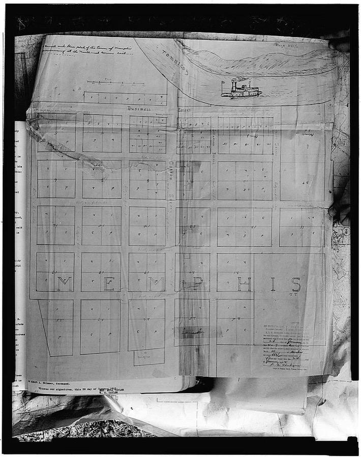
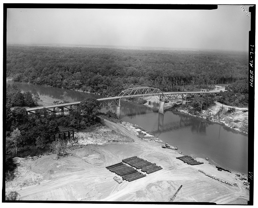
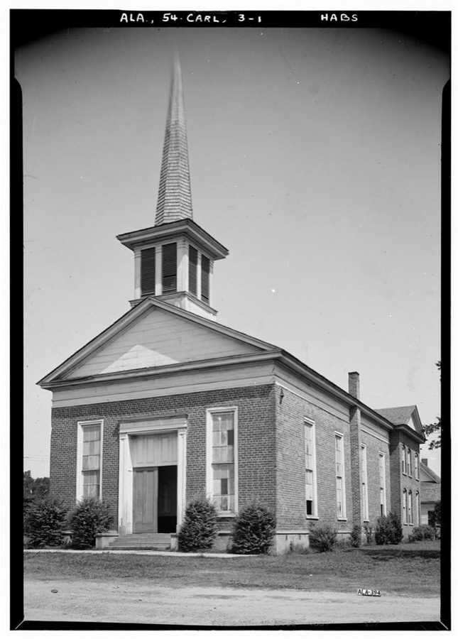
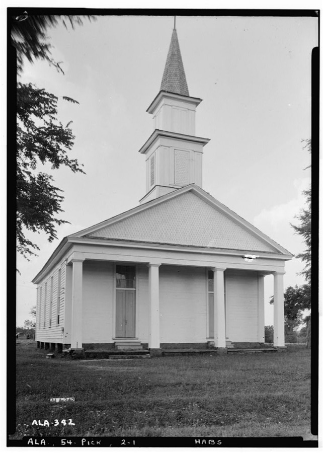
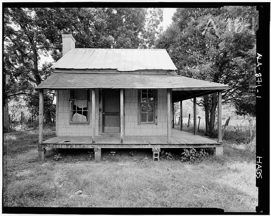
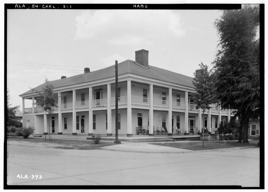
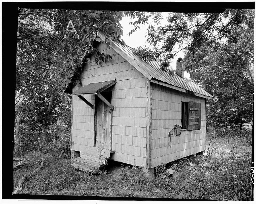
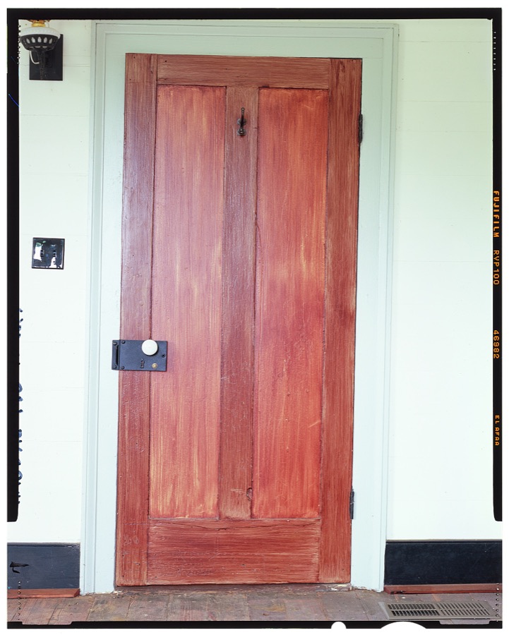
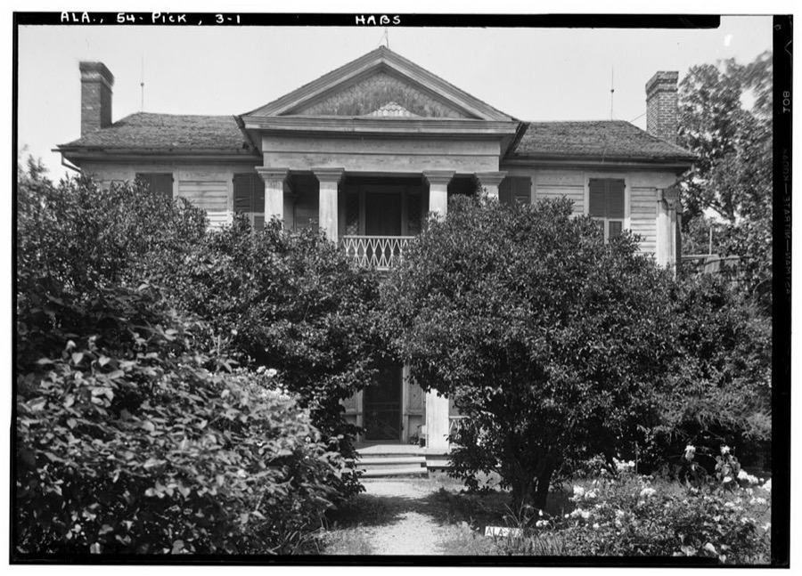
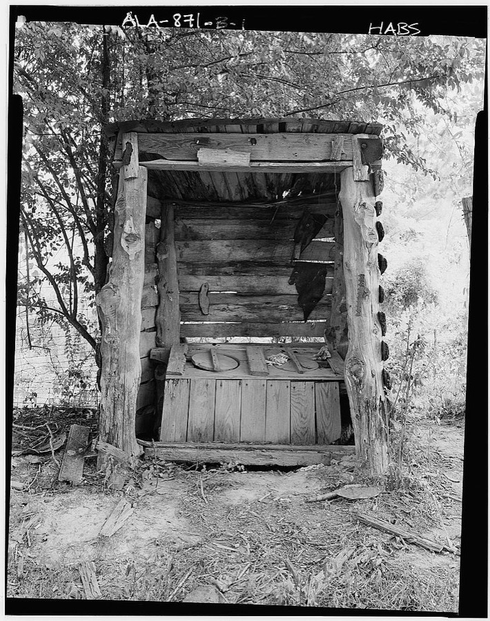
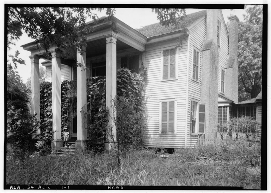
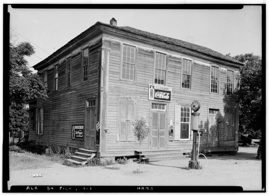
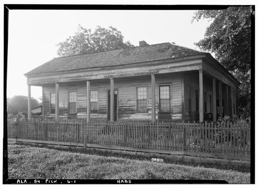
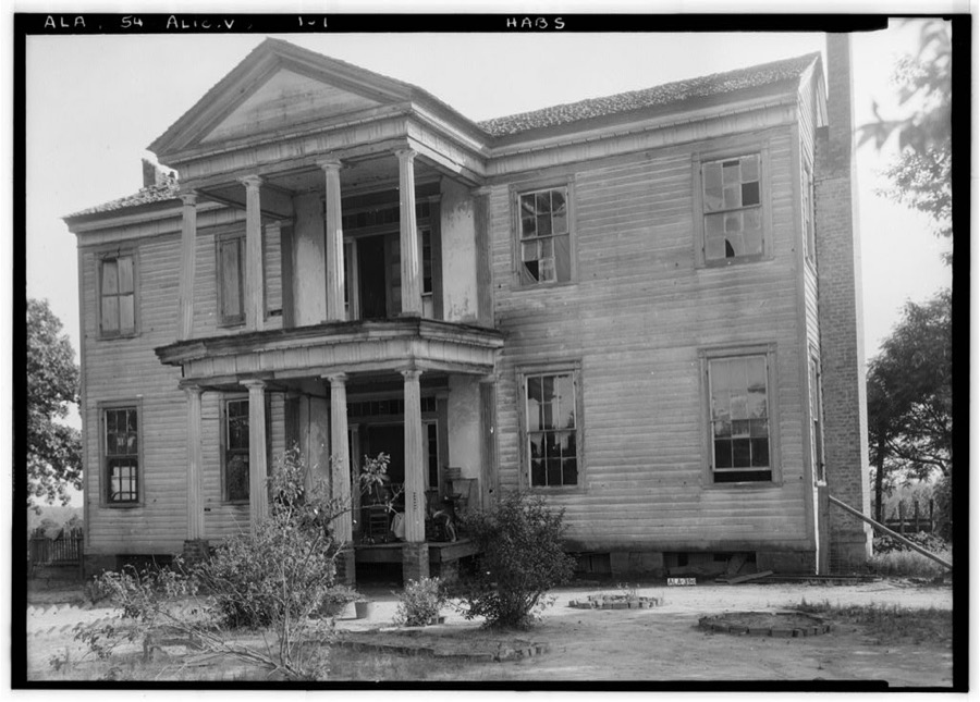
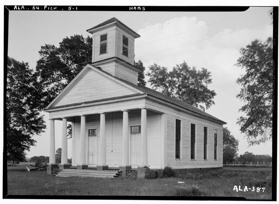
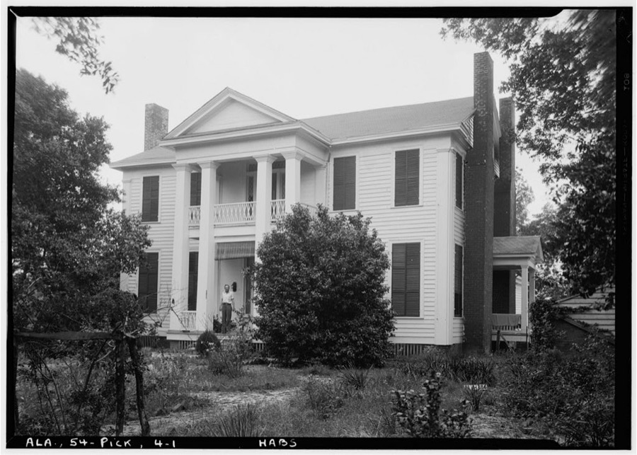
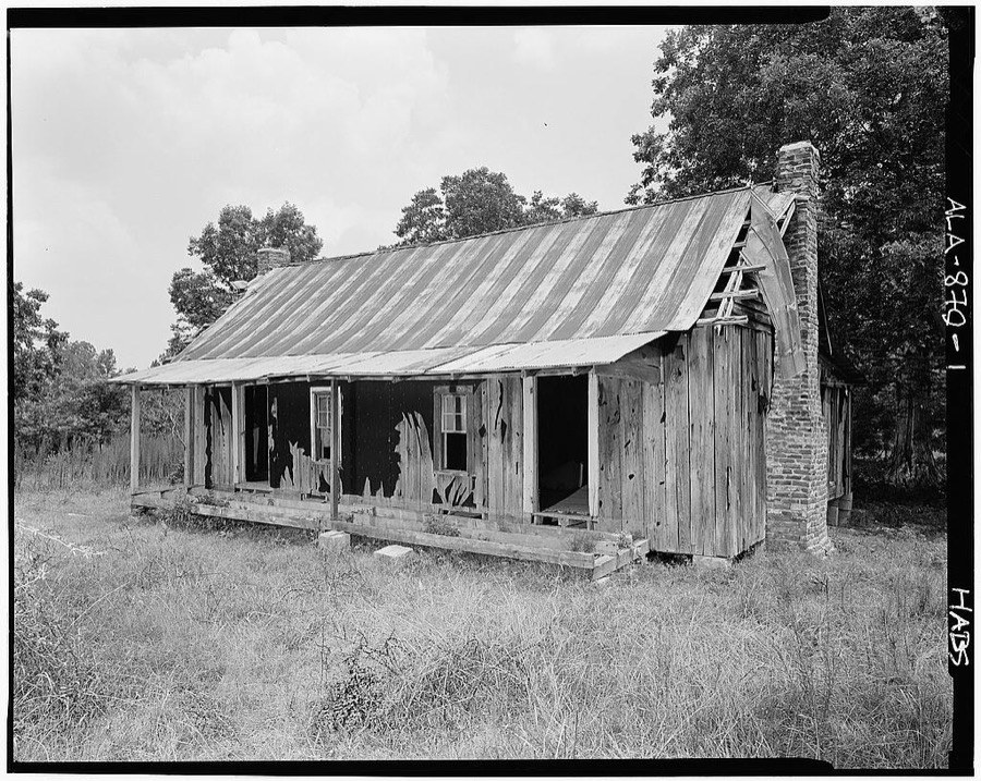
Every property in this county listed on the National Register of Historic Places, with the year it was listed and the federal nomination document.
| Photograph | Property | Type | Listed | Reference |
|---|---|---|---|---|
| Aliceville Elementary and High School | building | 1980 | 80000734 | |
| Parks E. Ball House | building | 1982 | 82002069 | |
 | Hugh Wilson Hill House | building | 1989 | 89000292 |
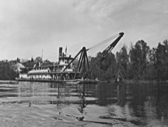 | MONTGOMERY (snagboat) | structure | 1983 | 83003521 |
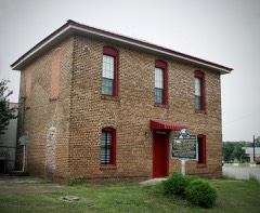 | Old Jail | building | 1974 | 74000434 |
 | Pickens County Courthouse | building | 1994 | 94000441 |
| Stewart-Blanton House | building | 1985 | 85001130 |
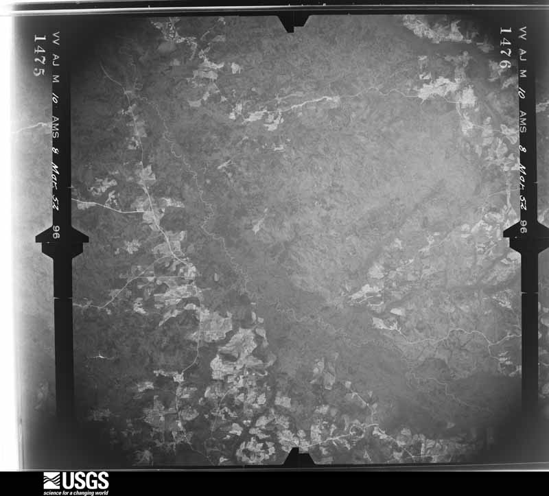
Flown by the U.S. Geological Survey between 1937 and 1989, the Aerial Photo Single Frames collection is the definitive mid-century view of the land: fields, roads and rivers as the camera saw them. The Survey holds 1,989 frames inside the rectangle that bounds this county; the 32 frames below were taken over the county itself, chosen across the decades of flights (at most four a year from that rectangle), so one flight cannot crowd out the rest. The full set is free to browse and download at EarthExplorer under the dataset Aerial Photo Single Frames.
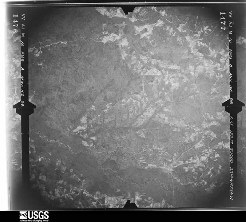
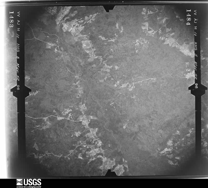
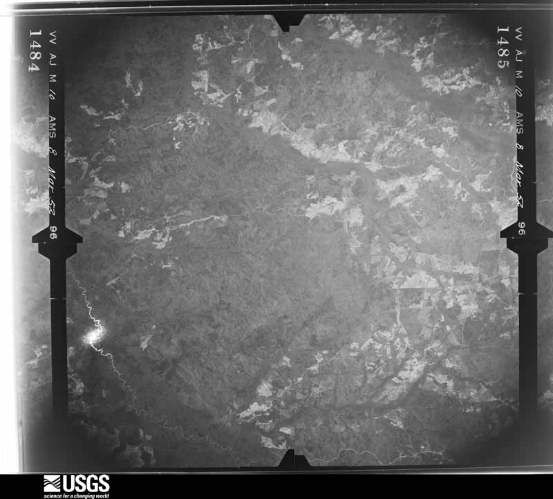
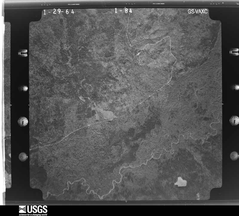
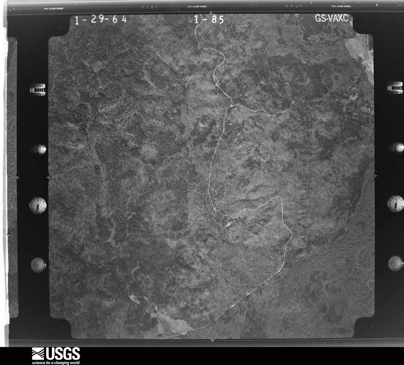
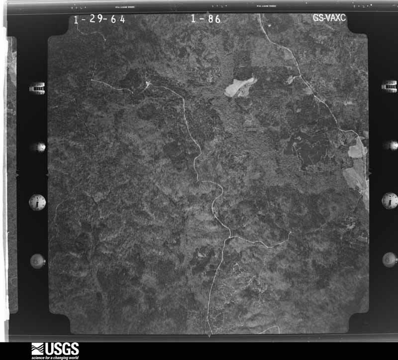
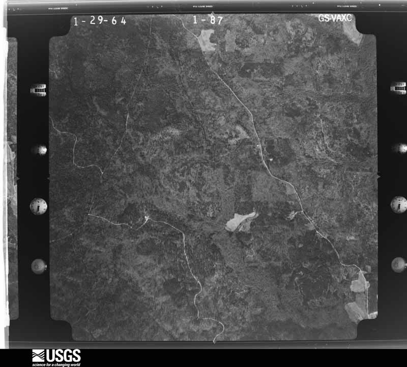
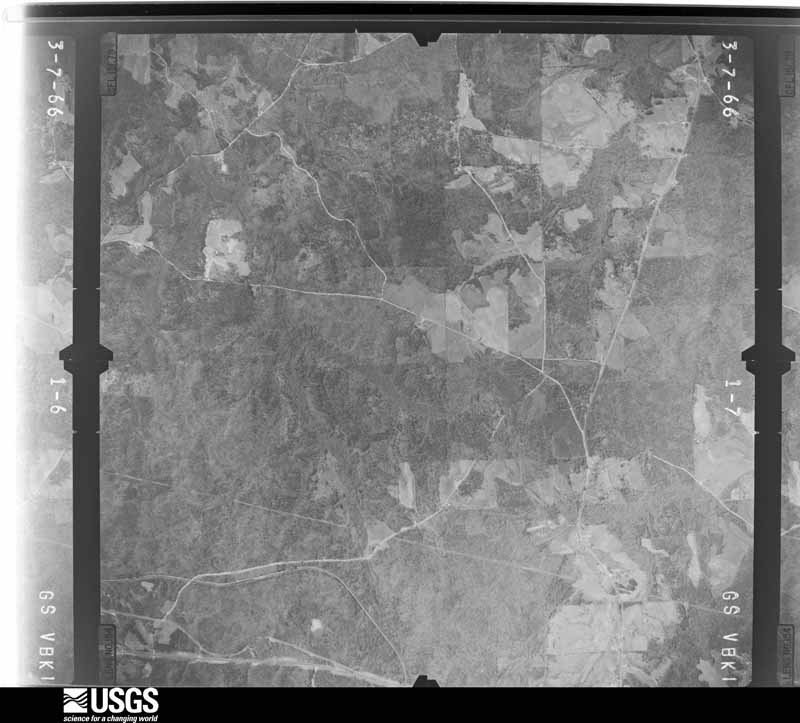
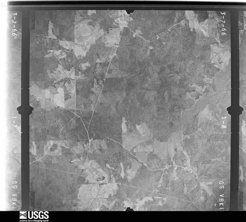
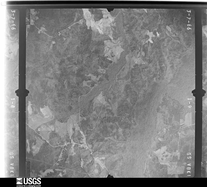
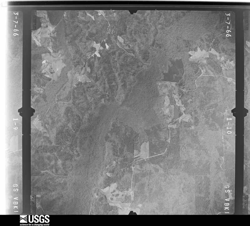
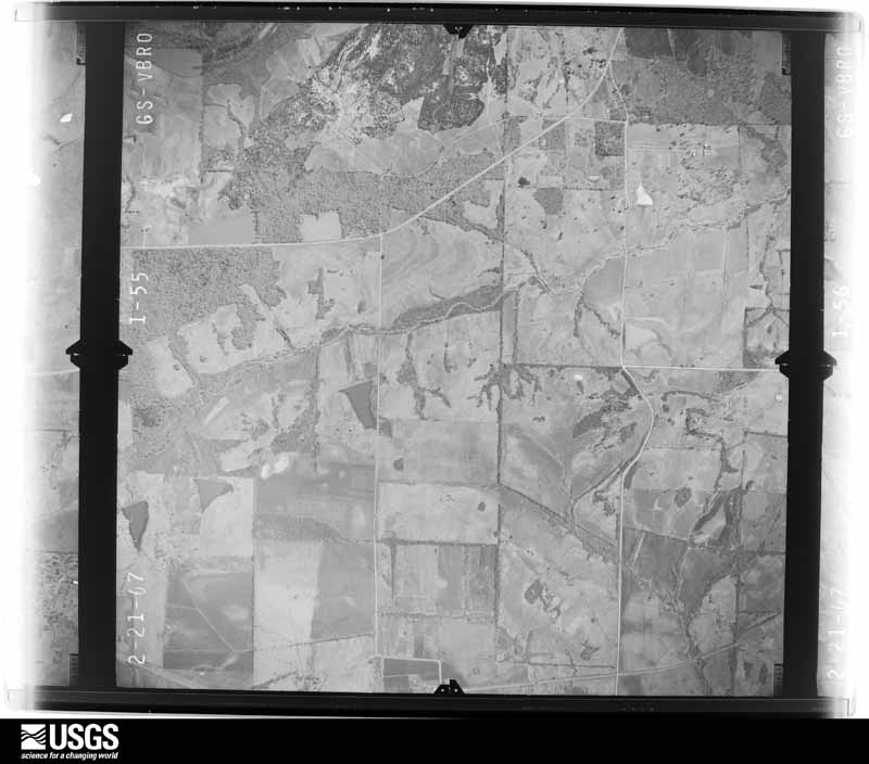
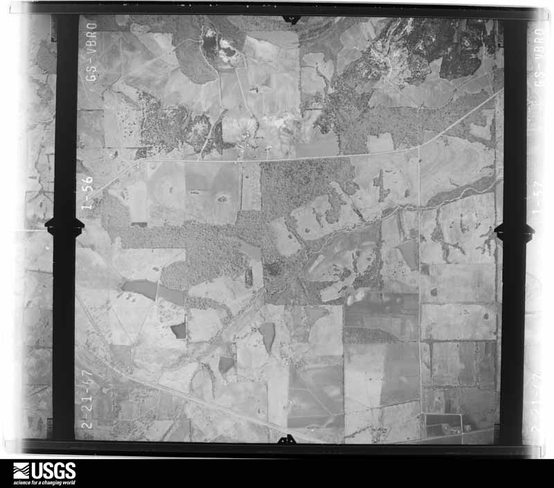
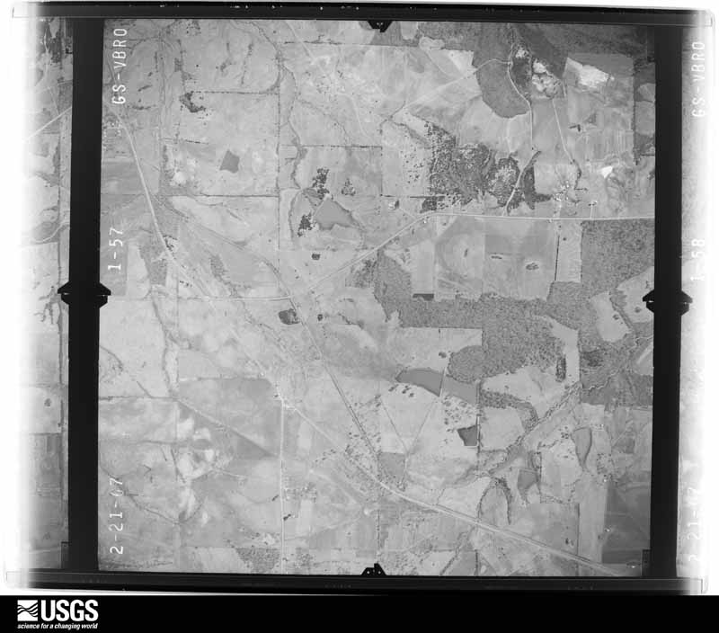
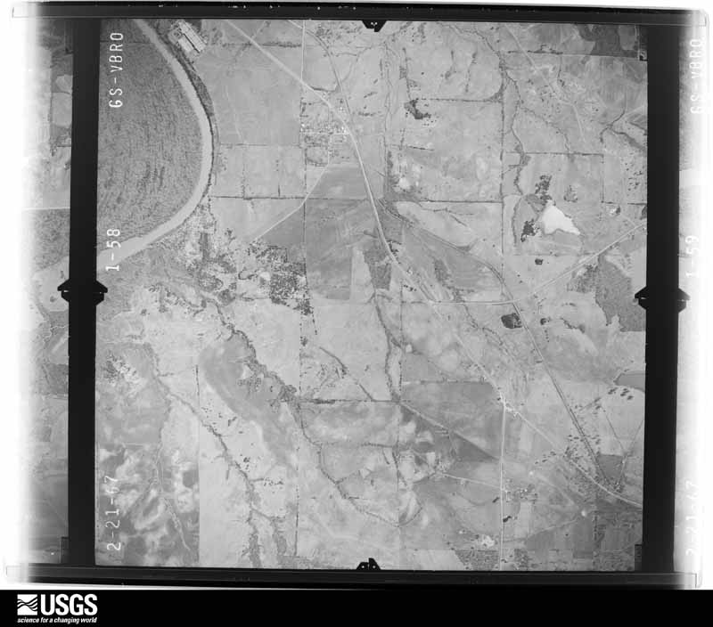
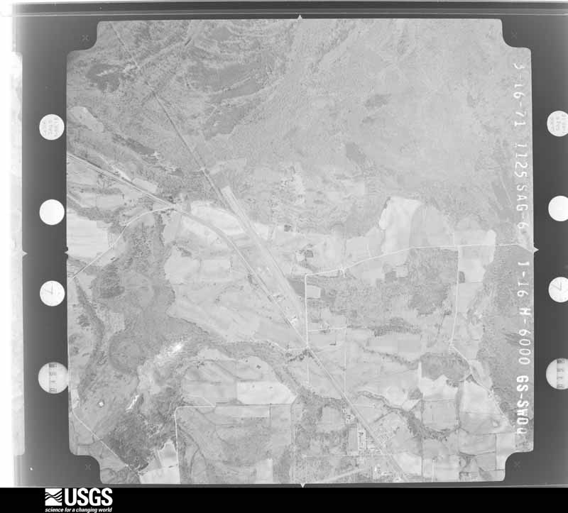
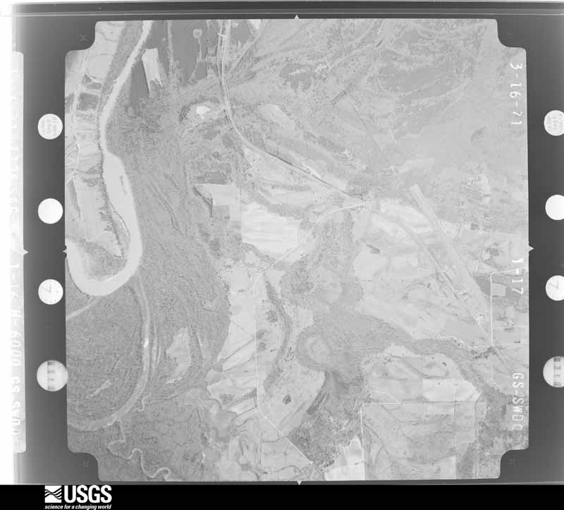
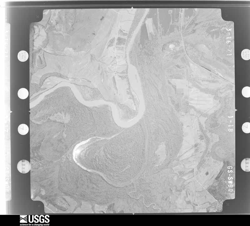
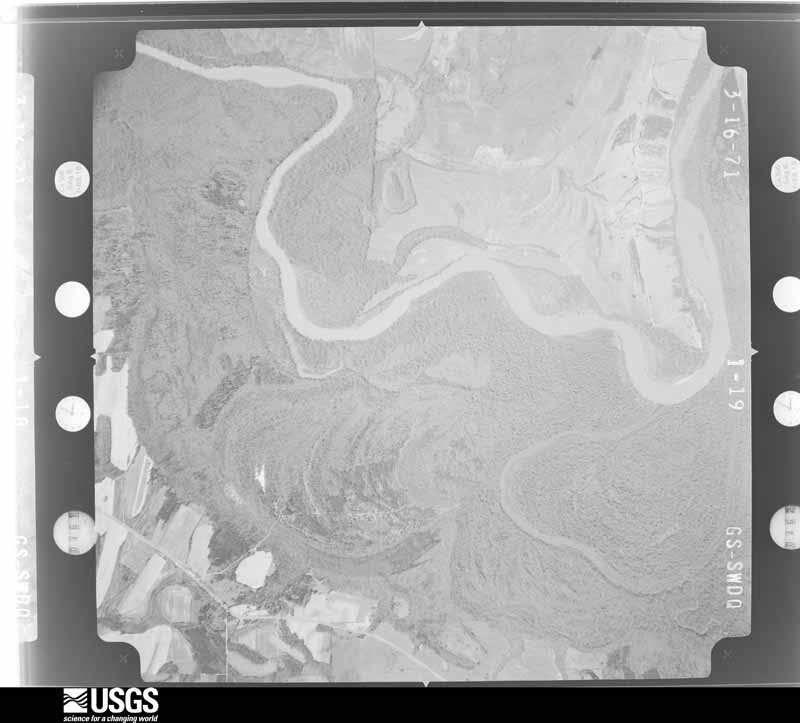
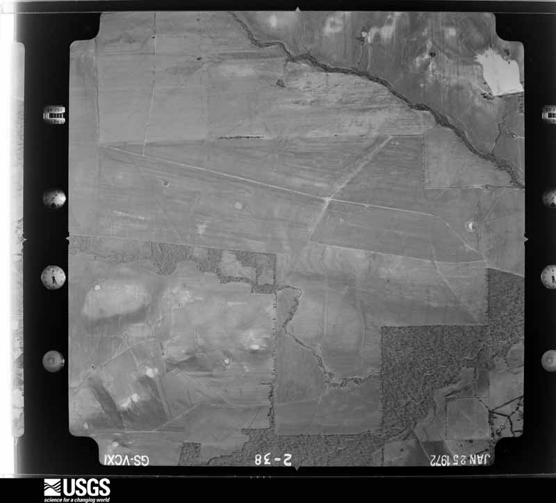
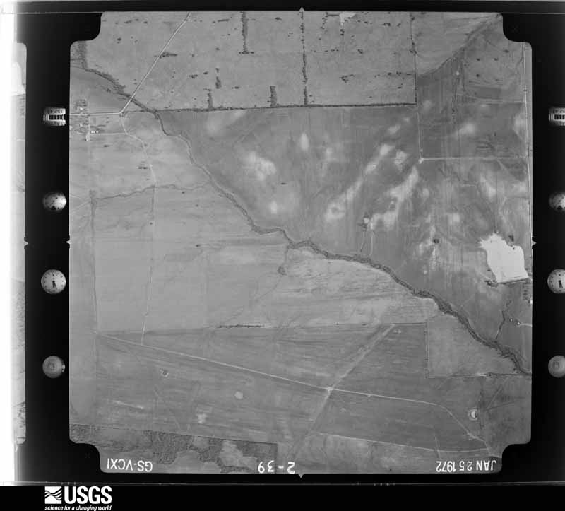
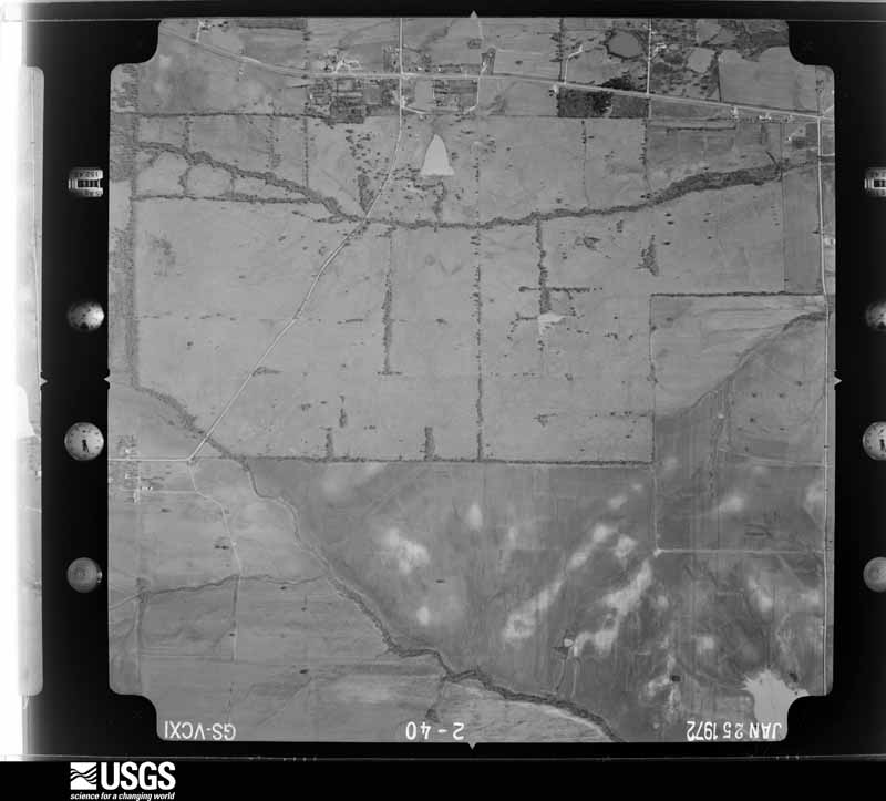
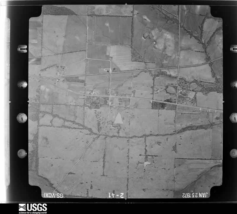




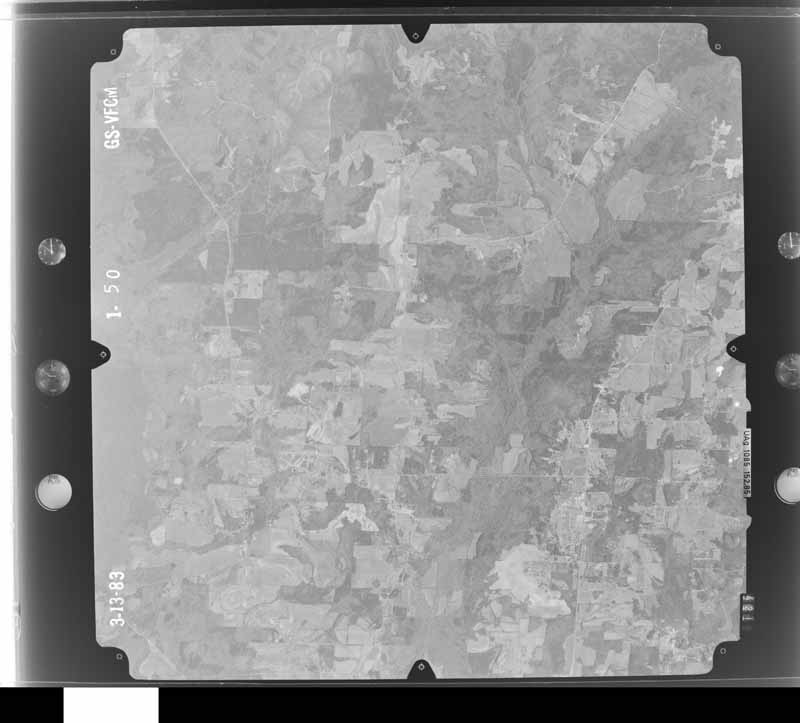
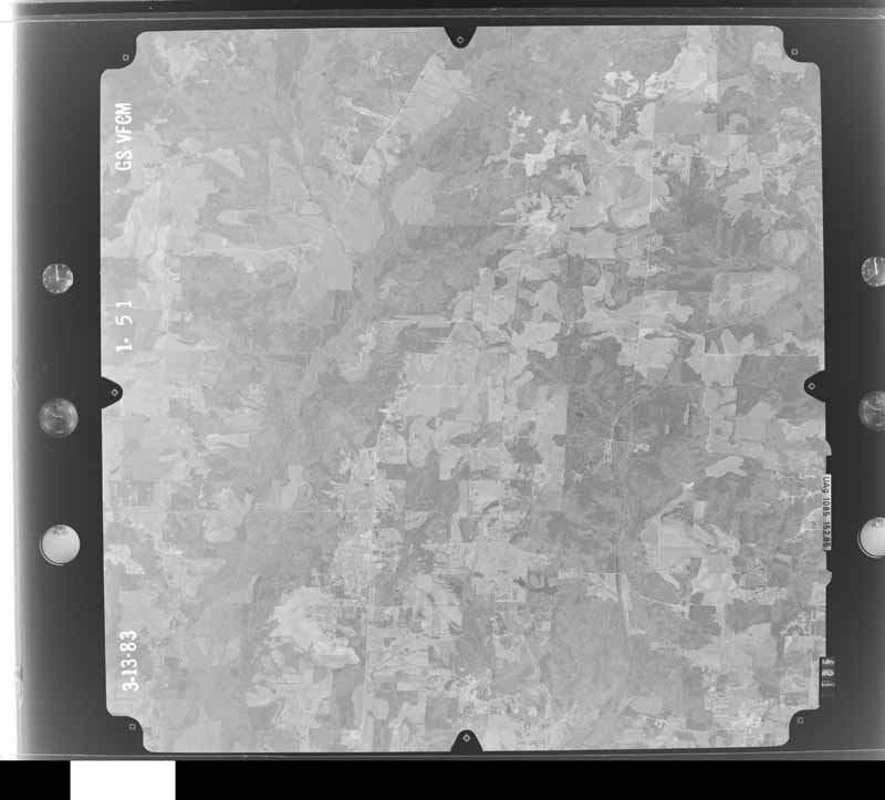
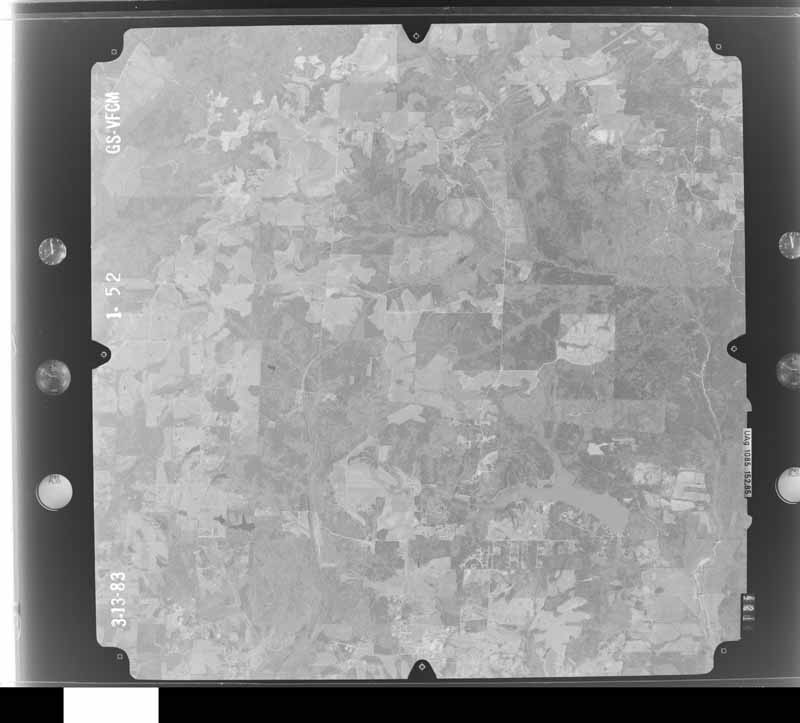
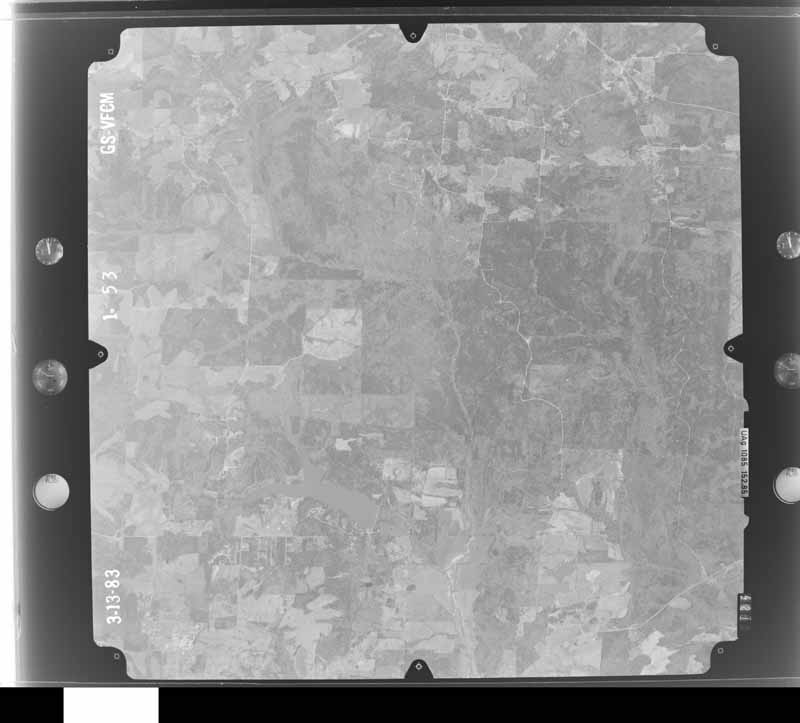
The thermometers that kept this county's weather, and the gages that measured the flow of its streams, as the federal records hold them. The extremes below are measured values from those records, not estimates.
Who lived here in 1950, one enumeration district at a time, as the Census Bureau described each district. Each row opens its official National Archives result, with Population Schedules and ED Maps available there.
Every wildfire the federal occurrence database records inside this county: 641 of them, burning about 5,577 acres. 23 started naturally and 137 were recorded as arson. Each settlement page carries the fires within five miles of it.
| Reported cause | Fires |
|---|---|
| Debris and open burning | 222 |
| Arson/incendiarism | 137 |
| Missing data/not specified/undetermined | 112 |
| Recreation and ceremony | 43 |
| Equipment and vehicle use | 37 |
| Railroad operations and maintenance | 37 |
| Natural | 23 |
| Smoking | 16 |
| Misuse of fire by a minor | 11 |
| Power generation/transmission/distribution | 3 |
The five largest, by the area the report gives. One of them was set deliberately.
| Date | Cause | Size | Reported by | Name on the report |
|---|---|---|---|---|
| 27 March 2006 | Arson/incendiarism | 230 acres | Alabama Forestry Commission | REFORM |
| 24 July 2000 | Natural | 220 acres | Alabama Forestry Commission | not named |
| 16 September 2000 | Debris and open burning | 165 acres | Alabama Forestry Commission | not named |
| 14 February 2015 | Missing data/not specified/undetermined | 119 acres | Alabama Forestry Commission | NWR-20150214-004 |
| 17 September 2015 | Debris and open burning | 118 acres | Alabama Forestry Commission | NWR-20150917-001 |
| 22 April 2007 | Railroad operations and maintenance | 110 acres | Alabama Forestry Commission | MCGEE |
| 11 April 1999 | Railroad operations and maintenance | 100 acres | Alabama Forestry Commission | not named |
| 15 October 2006 | Debris and open burning | 92 acres | Alabama Forestry Commission | not named |
Every settlement page carries the fires within five miles of it - see the settlement index below.
The NOAA Storm Events Database holds 315 reports for this county, causing 7 deaths, 79 injuries and about $43,979,000 in recorded property damage. Each settlement page carries the reports that name it.
| Kind of event | Reports |
|---|---|
| Thunderstorm Wind | 148 |
| Hail | 93 |
| Tornado | 55 |
| Flash Flood | 14 |
| Funnel Cloud | 2 |
| Flood | 2 |
| Lightning | 1 |
The most serious of them, by death, then injury, then recorded damage. The accounts are quoted exactly as the forecast office filed them.
| When | Event | Place named | Harm | What the report says |
|---|---|---|---|---|
| January 2020 | Tornado (EF2) | Union Chapel | 3 killed, 7 hurt | National Weather Service meteorologists surveyed damage in northern Pickens County and determined that it was consistent with an EF2 tornado, with maximum sustained winds near 134 mph.||A tornado touched down south of Highway 86, just on the south side of Coleman Road. The tornado tracked northeast and crossed Highway 86. Along Highway 86, there were at least three homes damaged with one home losing most of its roofing. Numerous hardwood and softwood trees were snapped off or uprooted at this location. The tornado continued northeast across Turnipseed Road, causing significant tree damage. The tornado tracked along Settlement Road where it likely reached its peak intensity. Numerous homes were damaged or destroyed on the west side of Settlement Road, while homes on the east side sustained minor damage. Of the homes destroyed, six were site-built homes. Four manufactured homes were completely destroyed, three of which had anchoring systems that failed. All four manufactured home frames were found considerable distances from the home sites. Three fatalities occurred in two of these manufactured homes on Settlement Road. In addition, all of the injuries were also on Settlement Road. The tornado continued through a forest and crossed Pine Grove Road near McDaniel Road. The farm at this location sustained significant damage with a home and at least two barns heavily damaged. Numerous hardwood and softwood trees were uprooted or snapped as well. From here, the tornado continued northeastward and began to weaken. It crossed Pearson Road, uprooting several trees before dissipating north of Pearson Road and west of Phoenix Road. At least 22 homes suffered varying degrees of damage. |
| January 2009 | Flash Flood | Pickensville | 2 killed, 1 hurt, $50,000 | Heavy rainfall produced flooding at several locations across Pickens County. At least 5 roads were closed due to high water, and 2 bridges were washed out. Flash flooding caused a bridge to wash out on Antioch Chuch Road, over Buncomb Creek. A mother and child subsequently drove off the washed out roadway, and drowned in the flood waters. A second vehicle following behind also drove into the creek at the same place, but the occupants were successfully rescued. |
| March 1986 | Tornado (F3) | not stated | 2 killed, $2,500,000 | no account filed |
| February 1965 | Tornado (F3) | not stated | 18 hurt, $250,000 | no account filed |
| March 1966 | Tornado (F5) | not stated | 11 hurt, $250,000 | no account filed |
| November 1992 | Tornado (F2) | not stated | 7 hurt, $2,500,000 | no account filed |
| March 1952 | Tornado (F3) | not stated | 6 hurt, $25,000 | no account filed |
| August 2017 | Tornado (EF2) | Reform | 6 hurt | NWS meteorologists surveyed damage in northern Pickens County and determined that the damage was consistent with an EF2 tornado. The tornado touched down at 7th Ave SW in the town of Reform. The tornado tracked northeast crossing Highway 82 and into residential areas where the worst damage occurred. Several single family wood framed homes and a mobile home were destroyed. One wood framed home was completely swept off its foundation. Several vehicles were also overturned. Four people, including an infant, were in the house that was swept off its foundation. They only suffered minor injuries. The tornado continued northeast and crossed near the intersection of County Road 25 and 15th Ave NW where numerous trees were snapped and uprooted. It then crossed Highway 17 about one mile south of County Road 8 where several trees were snapped and a house lost part of its roof. The tornado paralleled Highway 17 for several miles and did extensive tree and power line damage in the community of Palmetto. A fire station was also heavily damaged in Palmetto. From Palmetto, it traveled along County Road 59 where is snapped and uprooted trees, then it crossed into extreme southeast Lamar County. |
| April 1974 | Tornado (F4) | not stated | 5 hurt, $25,000,000 | no account filed |
| November 1957 | Tornado (F1) | not stated | 5 hurt, $250,000 | no account filed |
| April 2014 | Tornado (EF2) | Stafford | 5 hurt | A tornado initially touched down in Lowndes County, Mississippi, south of Columbus and traveled to the northeast, crossing the Alabama state line at County Road 30 in Pickens County. Tornado wind speeds were estimated at 115-120mph as it moved into Alabama. Along County Road 30, one site-built home was shifted off its foundation, trapping 10 people in the basement. There were also several mobile homes that were completely destroyed along with one small concrete building that had its roof removed and one exterior wall completely destroyed. The tornado continued northeast crossing U.S. Highway 82 and began to weaken along Bains Road, where several roofs sustained minor damage and several trees were uprooted. The tornado then rapidly dissipated near Tabernacle Road where only sporadic damage was found. It is also noteworthy that several damage points south of the tornado track were consistent with straight-line winds. |
| April 2011 | Tornado (EF1) | Union Chapel | 4 hurt, $3,800,000 | The first segment of this long track tornado initially touched down 5 miles northeast of Pickensville near Basinger Rd, north of AL Hwy 86. This tornado continued through portions of Tuscaloosa, Fayette, Walker, Cullman (See Storm Data for Huntsville), and Blount Counties, before it dissipated in Marshall (See Storm Data for Huntsville) County. While the average path width of this tornado in Pickens County was around 0.4 mile (704 yds), the maximum path width was 0.6 mile (1056 yds). The tornado crossed AL Hwy 17 and US Hwy 82, across the southern and western extents of the city of Reform. The storm strengthened to an EF1 rating with winds of 110 mph to the northeast of Reform. Along CR 49, several chicken houses were destroyed and grain feed bins were tossed up to 100 yards. As the tornado crossed AL Hwy 159, north of CR 49, several homes sustained roof damage and several outbuildings were destroyed. Numerous trees were snapped or uprooted along the path. The tornado moved northeast entering Tuscaloosa County south of Mid Walters Rd. |
| April 2017 | Thunderstorm Wind | Owens | 1 hurt | Several trees uprooted along County Road 17. One tree fell on a car and resulted in minor injuries to one person. |
| February 2016 | Tornado (EF2) | Dancy | 1 hurt | National Weather Service meteorologists surveyed damage in Pickens County and determined that the damage was consistent with an EF-2 tornado. Maximum winds were estimated to be around 135 mph. The tornado first touched down in southwestern Pickens County south of AL Hwy 32 and west of County Road 87. From there, it continued on a northeastward path across a large part of Pickens County. The tornado was caught live on Camera by local media just after it crossed the intersection of Hwy 32 and County Road 1, just west of Cochrane. It continued northeast to the Cochrane Campground on the Tombigbee River, where scores of trees were snapped, causing minor damage to one of the buildings on the campground. The tornado first reached EF-2 magnitude as it crossed private wooded land just south of County Road 78 snapping and uprooting hundreds of trees. As the tornado crossed Huff-Barnett Road, it mowed down a wide swath of trees, with a distinct classic convergence pattern of tree fall just east of Beaver Creek. The tornado continued northeastward across Al Hwy 14 causing damage to the federal prison, and then moved on to the Martin Luther King Road/Sapp community northwest of Aliceville. Here, the tornado reached its highest rated damage. Many of the homes in this portion of the Sapp community received some extent of damage, and several were destroyed. From there, the weakening tornado continued northeastward roughly parallel to AL Hwy 17 over open and forested rural Pickens County until it passed just west of Carrollton. The tornado reintensified and broadened somewhat, with a more significant tree-fall causing damage to a few homes on the west side of Carrollton. The tornado continued on the same northeastward path gradually weakening over rural areas before lifting near Herbert Windle Road southwest of Reform. |
| December 1987 | Thunderstorm Wind | not stated | 1 hurt | no account filed |
| April 1985 | Thunderstorm Wind | not stated | 1 hurt | no account filed |
| April 2011 | Tornado (EF1) | Dancy | $2,900,000 | A tornado developed along a Quasi-Linear Convective System and touched down in Kemper County Mississippi (See Storm Data Jackson), then tracked northeast through Noxubee County before crossing into Pickens County, southwest of Dancy. The tornado weakened to an EF1 rating as it entered Alabama, with winds of 100 mph. As the tornado moved across AL Hwy 17 near Dancy, a barn with metal siding and roofing and two small silos were destroyed. Significant tree damage was noted along CR 85. The tornado crossed the Tombigbee River and moved parallel to CR 13. The tornado crossed AL Hwy 14 south of Aliceville, damaging a farm irrigation system. The tornado continued northeast, lifting near Hamilton Jr Craft Rd, northwest of Benevola. Dozens of trees were also downed along this path. The average path width of the Alabama portion of the tornado path was 0.5 mile (880 yds). |
| April 2011 | Tornado (EF2) | Carrollton | $1,800,000 | A tornado developed along a Quasi-Linear Convective System. It touched down in central Pickens County, northwest of Carrollton, near the intersection of CR 7 and CR 26, where trees were snapped off. The tornado moved northeast and strengthened to an EF2 rating with winds of 120 mph as it approached CR 35 where it downed thousands of trees. The tornado crossed US Hwy 82 and AL Hwy 17 where it caused mostly tree damage across northwestern portions of Reform. East of AL Hwy 17, at least two outbuildings sustained roof damage along CR 3. Near the end of the tornado path, a home sustained minor wall damage and significant roof damage. The tornado lifted along CR 3, south of CR 57. |
| April 2011 | Tornado (EF3) | Vienna | $1,600,000 | A tornado initially touched down in Kemper County Mississippi (See Storm Data Jackson), near Scooba, and tracked northeast through Sumter County, Alabama and into southern Pickens County just west of CR 85. As the tornado strengthened to an EF3 rating with winds of 140, the path width decreased to 0.4 mile (704 yds). As the tornado crossed CR 85, a large cinder block building sustained significant loss of roofing and partial wall collapse. The tornado continued to cause tree damage along its path as it moved northeast and crossed the Tombigbee River at Vienna. The tornado weakened and lifted at AL Hwy 14, just north of the Sipsey River. |
| March 1994 | Thunderstorm Wind | not stated | $500,000 | A thunderstorm produced wind damage in the Carrollton-Gordo area as well as in the Reform area. Damage was light in the Reform area with a number of trees down, several blocking roads and several falling on other buildings. In the area from Carrollton to Gordo, many trees were downed and a number of structures sustained minor damage. A house near Aliceville reportedly suffered major damage. |
| April 2002 | Thunderstorm Wind | Aliceville | $300,000 | A line of thunderstorms moved through Pickens County and produced wind damage generally across the eastern and southern parts of the county. Trees and power lines were blown down around Aliceville and Reform. Structural damage was reported to the Winn Dixie in Aliceville. Three chicken houses were destroyed just northeast of Gordo and hundreds of chickens were killed. Two airport hangars were destroyed north of Gordo. No injuries were reported. |
| April 1991 | Tornado (F0) | not stated | $250,000 | no account filed |
| November 1984 | Tornado (F2) | not stated | $250,000 | no account filed |
| April 1996 | Tornado (F1) | Aliceville | $200,000 | no account filed |
| March 2005 | Tornado (F0) | Ethelsville | $175,000 | National Weather Service Meteorologist surveyed the damage in Pickens County and determined a weak tornado occurred. The tornado damage was rated an F0. The tornado first touched down just west ofCR 75 near the Pine Grove Community. The tornado tracked east northeast through the Pine Grove Community, where one home suffered extensive damage from fallen and uprooted trees. The tornado continued almost parallel to Will Jones Road where two homes sustained significant damage. The tornado ended near the intersection of Will Jones Road and Moorehead Road just south of the McShanCommunity. Numerous trees were blown down or uprooted along the path and a few outbuildings weredestroyed. The tornado was on the ground from 954 pm CST until 1004 pm CST. The tornado damage path was approximately 7 miles long and 150 yards wide at its widest point.Begin: 33 20.544/88 16.529 End: 33 21.254/88 09.311 |
| April 2003 | Tornado (F1) | Dancy | $100,000 | A landspout, a tornado that forms under a strong updraft of a developing thunderstorm, touched down in extreme southwestern Pickens County. The brief tornado destroyed a mobile home, destroyed a home, and downed a few trees. The damage occurred in the Dancy-Cochrane Community. Many surrounding trees and structures were undamaged. No injuries occurred with this tornado.Beg: 33 01.952/88 18.763 End: 33 01.952/88 18.739 |
| February 2001 | Thunderstorm Wind | Countywide | $100,000 | Pickens County reported numerous trees and power lines knocked down. Numerous homes reported roof damage. |
| April 1996 | Thunderstorm Wind | Carrollton | $100,000 | no account filed |
| May 2009 | Tornado (EF1) | Pickensville | $50,000 | The tornado touched down along the Tombigbee River basin near the Rogersville Camp area. It then tracked northeastward for about a mile before it lifted. Several trees were snapped off and several tops of trees were taken off along the path. Some of the fallen trees landed on trailers and caused varying degrees of damage. |
| May 2009 | Tornado (EF1) | Carrollton | $50,000 | The tornado touched down in Carrollton near the intersection of Rose Street and CR-35. It then tracked east-northeast and lifted in a rural area along Lubbub Creek. Several trees were snapped off or were blown down along the path. A few of the trees fell on homes and caused varying degrees of damage. |
| January 2008 | Tornado (EF1) | Gordo | $50,000 | The tornado touched down between Gordo and the Tuscaloosa County line, near the intersection of Ben Elmore Road and CR-33. From there, it travelled east-northeast before crossing into Tuscaloosa County. A barn and several old chicken houses on CR-33 east of Gordo sustained heavy damage. |
| April 2005 | Tornado (F0) | Aliceville | $50,000 | National Weather Service Meteorologists surveyed the damage in Aliceville and determined that the damage was caused by a tornado. The tornado was rated an F0 on the Fujita Scale with localized winds of up to 73 miles an hour. The tornado touched down near the Aliceville Manor nursing home at approximately 551 pm CDT. The weak tornado tracked northeast generally parallel to 17th Street NW. At least 9 homes suffered mainly minor roof damge, although one house had major rood damage. A few porches were completely torn off homes and the debris was tossed up to one half of a mile away. Several outbuildings were damaged and many lawn or outdoor items were overturned. The tornado crossed SR 14 where a few large trees were snapped off or uprooted at the Aliceville Country Club. Several additional trees and power lines were blown down along the relatively short path. The tornado lifted at the end of Country Club Lane at the Aliceville Country Club at approximately 553 pm CDT. The tornado pathlength was one and one half miles long and 50 yards wide at its widest point. No injuries were reported. Begin: 33 07.83/88 10.47 End: 33 08.70/88 09.31 |
| May 1998 | Tornado (F0) | Carrollton | $50,000 | A weak tornado touched down northwest of Carrollton and uprooted and snapped several trees. The tornado actually moved across the Pickens County Hospital on the north side of Carrollton on SR 17. Minor roof damage was done at the hospital but there were a number of trees down. |
| January 1998 | Flash Flood | Countywide | $50,000 | no account filed |
| April 1996 | Thunderstorm Wind | Gordo | $30,000 | no account filed |
| March 1996 | Thunderstorm Wind | Carrollton | $30,000 | no account filed |
| July 2002 | Thunderstorm Wind | Carrollton | $25,000 | The roof was blown off the Carriage House Antiques in downtown Carrollton. In addition, several trees and power lines were blown down in isolated locations across the county. |
| June 1997 | Flash Flood | Gordo | $25,000 | Heavy rains forced the evacuation of between 7 and 10 families from their homes off US 82 in Gordo. Heavy rain also damaged a portion of Preacher Street. |
| June 2000 | Lightning | Aliceville | $25,000 | no account filed |
| May 1998 | Tornado (F0) | Gordo | $25,000 | no account filed |
| February 1990 | Tornado (F0) | not stated | $25,000 | no account filed |
| May 1988 | Tornado (F1) | not stated | $25,000 | no account filed |
| December 1983 | Tornado (F0) | not stated | $25,000 | no account filed |
| December 1978 | Tornado (F1) | not stated | $25,000 | no account filed |
| March 1976 | Tornado (F2) | not stated | $25,000 | no account filed |
| March 1967 | Tornado (F1) | not stated | $25,000 | no account filed |
| March 1963 | Tornado (F2) | not stated | $25,000 | no account filed |
| April 2011 | Thunderstorm Wind | Aliceville | $20,000 | Numerous trees were blown down in Aliceville, some of which fell on homes. In addition, multiple businesses sustained roof damage. |
| February 2004 | Thunderstorm Wind | Cochrane | $20,000 | no account filed |
| April 1996 | Thunderstorm Wind | Aliceville | $20,000 | no account filed |
| May 1998 | Thunderstorm Wind | Aliceville | $15,000 | Numerous trees were down on the south side of Aliceville. |
| April 1998 | Tornado (F3) | Gordo | $15,000 | no account filed |
| April 2011 | Tornado (EF1) | Gordo | $11,000 | This tornado developed along a Quasi-Linear Convective System in far eastern Pickens County, 5.5 miles south southeast of Gordo and moved northeastward for 3.46 miles. It crossed into Tuscaloosa County just to the west of Holman, south of AL Hwy 140. This tornado continued for almost 19 miles in Tuscaloosa County before dissipating 2.5 miles east northeast of Samantha. The tornado touched down east of AL Hwy 63, along Grover Plate Rd where it uprooted many hardwood trees. The tornado continued to cause tree damage as it moved northeast and approached the Tuscaloosa County line. The tornado damage in Pickens County was consistent with an EF1 rating and winds of 90 mph. |
| October 2010 | Thunderstorm Wind | Gordo | $10,000 | A tree fell on a vehicle. |
| September 2009 | Flash Flood | Pickensville | $10,000 | Water was flowing over AL-86 in several spots, both west and east of the city of Pickensville. Several roads in the city of Carrollton also had to be closed due to flooding. |
| January 2008 | Tornado (EF0) | Pickensville | $10,000 | The tornado briefly touched down on the south side of Pickensville, near Jackson Ferry Road, and was on the ground for less than a minute. One metal storage barn was damaged, and several small trees were blown down. |
| May 1998 | Hail | Reform | $10,000 | Golf ball size hail was reported in Reform by the EMA. |
| May 1998 | Hail | Aliceville | $10,000 | Golf ball size hail was reported in Aliceville by the EMA. |
| May 1998 | Hail | Gordo | $10,000 | Golf ball size hail was reported by storm spotters, near US 82 and SR 86. |
| June 1998 | Thunderstorm Wind | Aliceville | $10,000 | Numerous trees were down in Aliceville. |
The Survey's mineral resources record lists 4 workings inside this county. 2 still produce and 2 are closed or unrecorded. Each settlement page carries the workings within five miles of it.
| Commodity | Workings |
|---|---|
| Sand and Gravel, Construction | 4 |
The least common of them first, because a county's hundredth gravel pit says nothing its first ten did not.
| Where | Site | Commodity | Status | Recorded |
|---|---|---|---|---|
| Gulf State Crusher | Sand and Gravel, Construction | Plant | ||
| Gulf States Pit | Sand and Gravel, Construction | Producer | ||
| Little H. Pit | Sand and Gravel, Construction | Past Producer | ||
| Pickens Sand and Gravel Pit | Sand and Gravel, Construction | Past Producer |
Named settlements recorded in the Geographic Names Information System, each with the topographic sheets covering it. Villages, hamlets and abandoned places alike. Each is shown with the nearest named watercourse or landform and the survey quadrangle it falls on. The 1 place that was also surveyed for fire insurance comes first, with the number of atlases and photographs held for them.
Aliceville census division · 35442 · Aliceville North quadrangle
11 sheets, 1953 to 1984
Fire insurance: 2 atlases
Reform census division · 35481 · On Anna Branch · Carrollton quadrangle
12 sheets, 1953 to 1984
Carrollton census division · 35442 · On Hennon Branch · Aliceville North quadrangle
11 sheets, 1953 to 1984
Aliceville census division · 35466 · On Bad Luck Creek · Gordo quadrangle
10 sheets, 1953 to 1984
Aliceville census division · 35442 · Aliceville South quadrangle
12 sheets, 1953 to 1984
Carrollton census division · 35447 · On Stratton Branch · Carrollton quadrangle
12 sheets, 1953 to 1984
Carrollton census division · 35447 · On Puckett Branch · Carrollton quadrangle
12 sheets, 1953 to 1984
Reform census division · 35481 · On Little Coal Fire Creek · Reform quadrangle
12 sheets, 1953 to 1984
Aliceville census division · 35442 · On Lower Cedar Creek · Dancy quadrangle
11 sheets, 1953 to 1984
Aliceville census division · 35442 · On Seneca Creek · Cunningham quadrangle
11 sheets, 1953 to 1984
Ethelsville census division · 35461 · On Burdine Creek · Ethelsville quadrangle
12 sheets, 1953 to 1984
Carrollton census division · 35447 · On Little Lubbub Creek · Cunningham quadrangle
11 sheets, 1953 to 1984
Gordo census division · 35466 · On Koon Branch · Palmetto quadrangle
10 sheets, 1953 to 1984
Ethelsville census division · 35461 · On Little Magby Creek · New Hope quadrangle
12 sheets, 1953 to 1987
Aliceville census division · 35466 · On Latner Branch · Kirk quadrangle
10 sheets, 1953 to 1984
Reform census division · 35481 · On Wild Goose Creek · Gordo quadrangle
10 sheets, 1953 to 1984
Carrollton census division · 35447 · On Puckett Branch · Cunningham quadrangle
11 sheets, 1953 to 1984
Ethelsville census division · 35461 · On Little Coal Fire Creek · Reform quadrangle
12 sheets, 1953 to 1984
Aliceville census division · 35442 · On Wallace Creek · Pickensville quadrangle
11 sheets, 1953 to 1984
Aliceville census division · 35466 · On Little Bear Creek · Gordo quadrangle
10 sheets, 1953 to 1984
Carrollton census division · 35481 · On Bethel Branch · Carrollton quadrangle
12 sheets, 1953 to 1984
Carrollton census division · 35447 · On Taylor Creek · Pickensville quadrangle
11 sheets, 1953 to 1984
Aliceville census division · 35466 · On Orchard Creek · Kirk quadrangle
10 sheets, 1953 to 1984
Aliceville census division · 35466 · On Jones Creek · Kirk quadrangle
10 sheets, 1953 to 1984
Reform census division · 35481 · On Langdon Branch · Reform quadrangle
12 sheets, 1953 to 1984
Carrollton census division · 35481 · On Johnsons Branch · Carrollton quadrangle
12 sheets, 1953 to 1984
Aliceville census division · 35442 · On Cow Creek · Cunningham quadrangle
11 sheets, 1953 to 1984
Aliceville census division · 35442 · On Vienna Island (historical) · Aliceville South quadrangle
12 sheets, 1953 to 1984
11 topographic sheets and 2 fire insurance atlases, 1933
The complete index, with nothing left out. Each of these is a separate record with its own page: a federal survey report, or the case file that argued a property on to the National Register. Both are public domain and reproduced word for word.