 Block
From the record
14 National Register listings published here.
Sources: the National Register database, National Park Service
113 topographic sheets cover 95 settlements here, and 14 properties are on the National Register of Historic Places.
14 National Register listings published here.
Sources: the National Register database, National Park Service
Every property in this county listed on the National Register of Historic Places, with the year it was listed and the federal nomination document.
| Photograph | Property | Type | Listed | Reference |
|---|---|---|---|---|
| John Ash House | building | 1991 | 91001479 | |
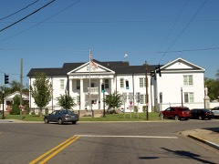 | Ashville Historic District | district | 2005 | 05000288 |
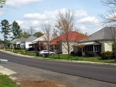 | Avandale Mill Historic District | district | 2000 | 00001030 |
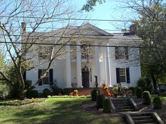 | Dr. James J. Bothwell House | building | 1982 | 82004612 |
| Jacob Green House | building | 1980 | 80004238 | |
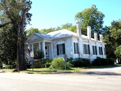 | Inzer House | building | 1973 | 73002127 |
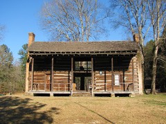 | Looney House | building | 1974 | 74002179 |
| Rev. Thomas Newton House | building | 1991 | 91001480 | |
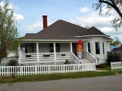 | Old Pell City Historic District | district | 2001 | 01001291 |
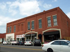 | Pell City Downtown Historic District | district | 2001 | 01001169 |
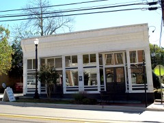 | Presley Store | building | 1983 | 83002982 |
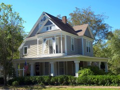 | Judge Elisha Robinson House | building | 1991 | 91000595 |
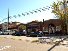 | Springville Historic District | district | 1997 | 97000653 |
| St. Clair Springs | district | 1976 | 76002140 |
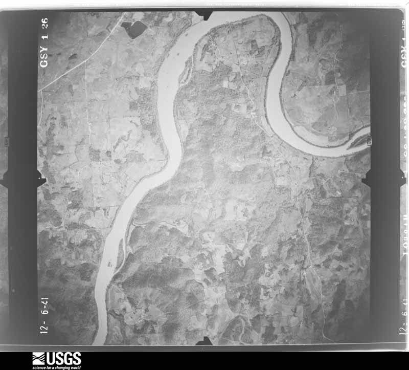
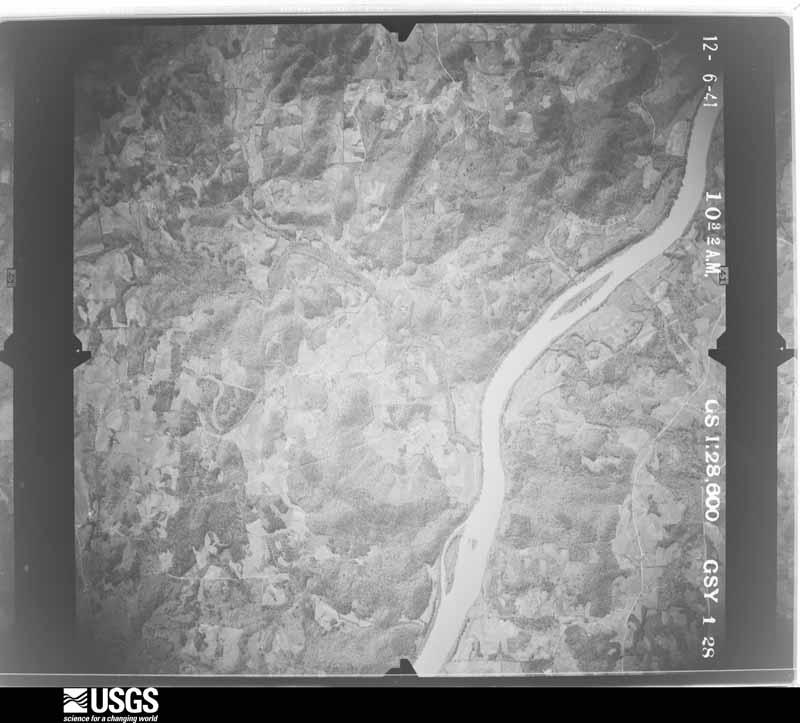
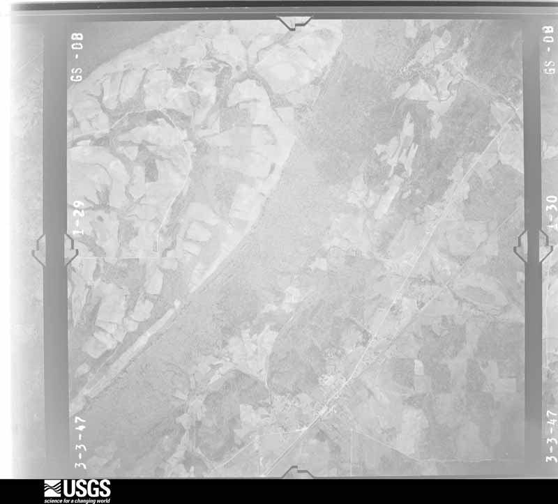
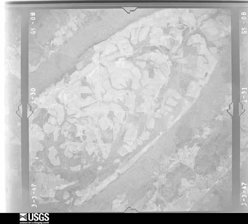
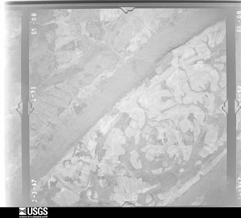
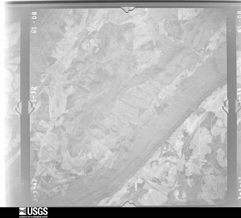
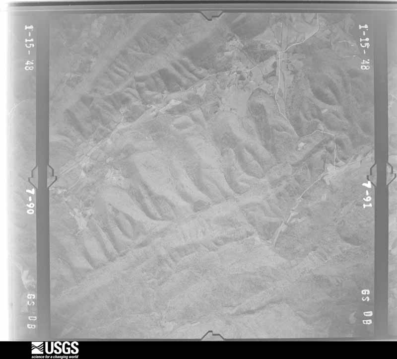
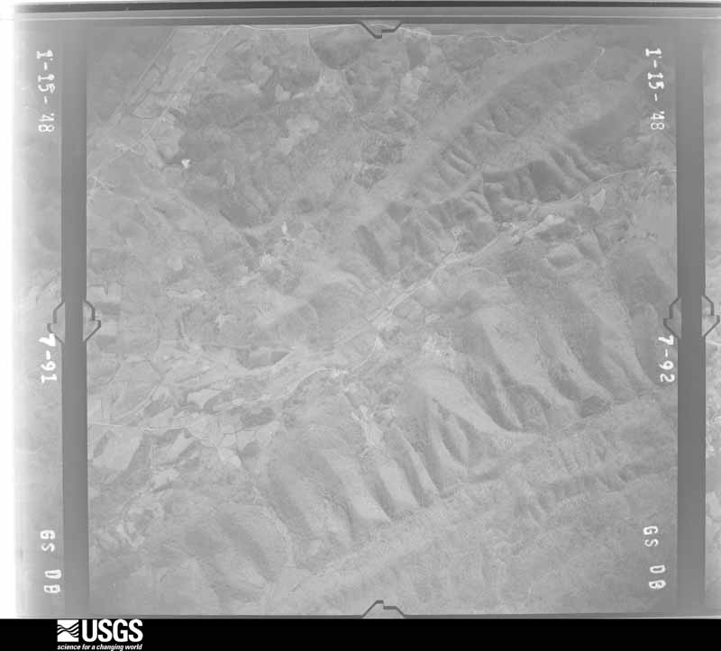
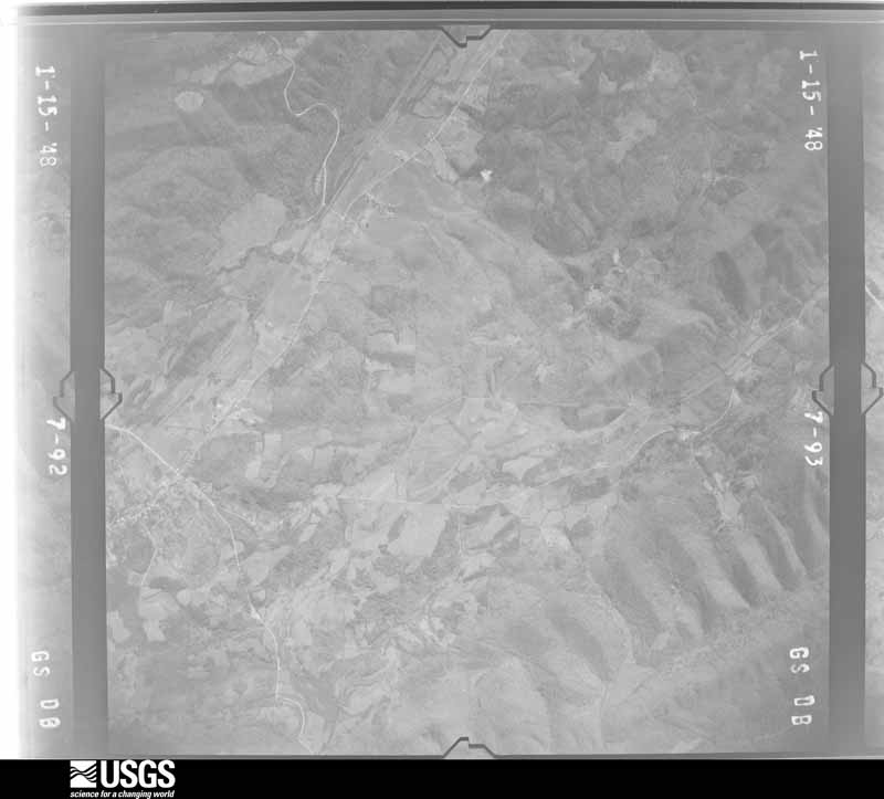
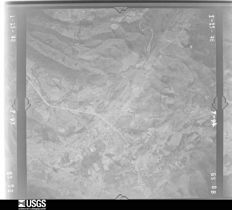
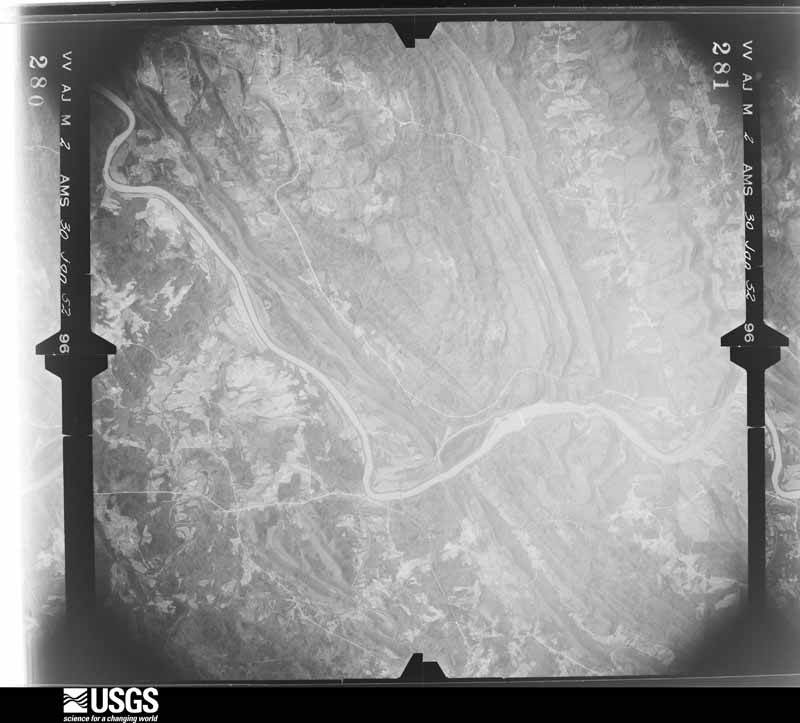
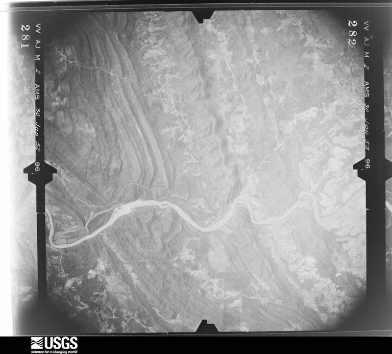
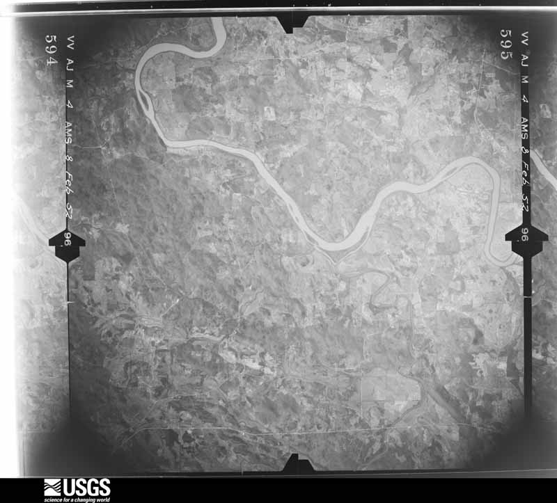
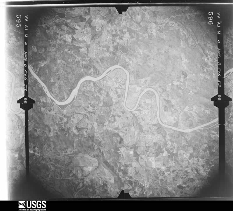
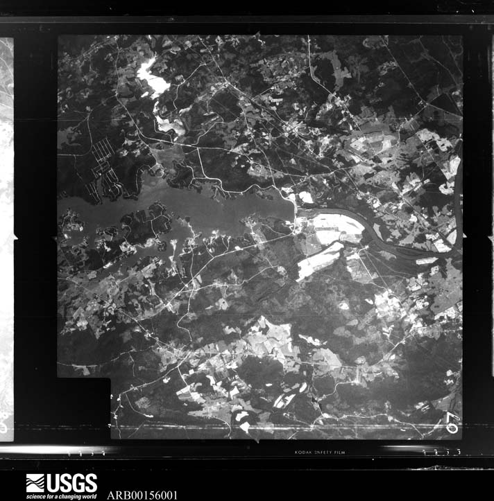
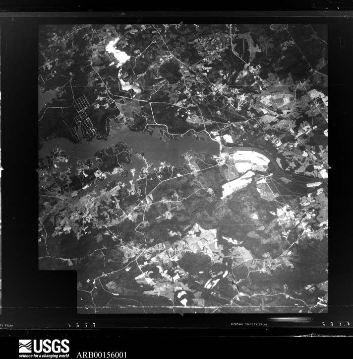
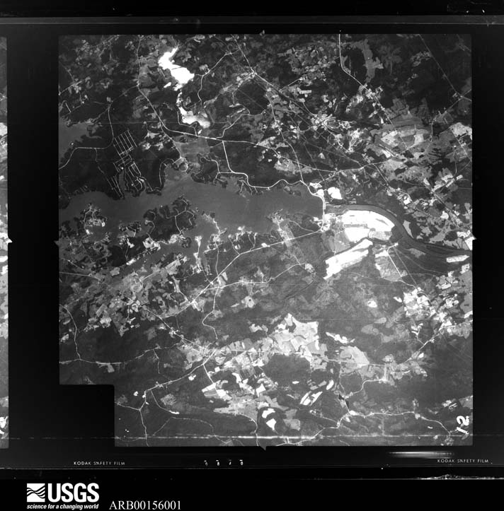
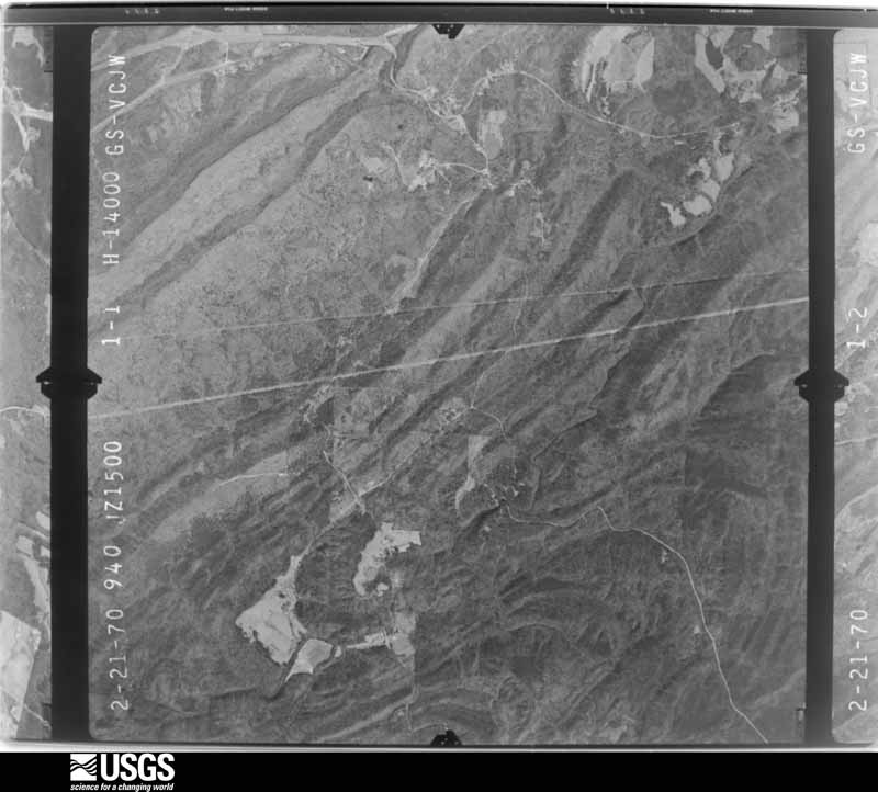
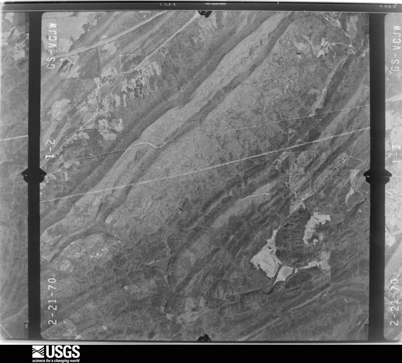
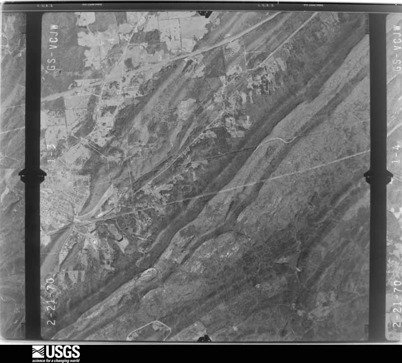
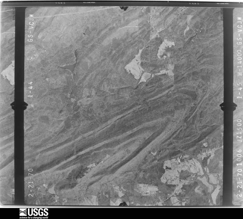
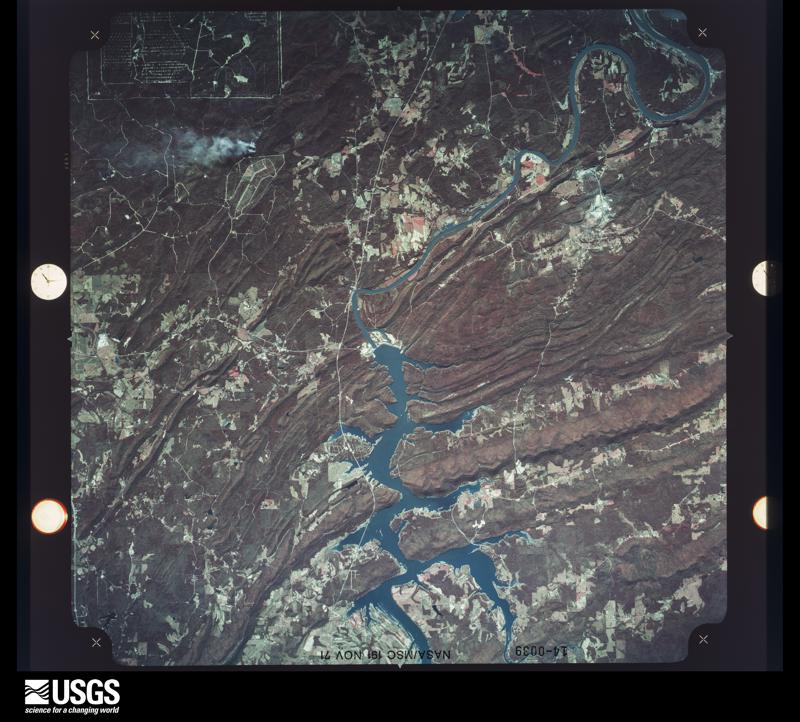
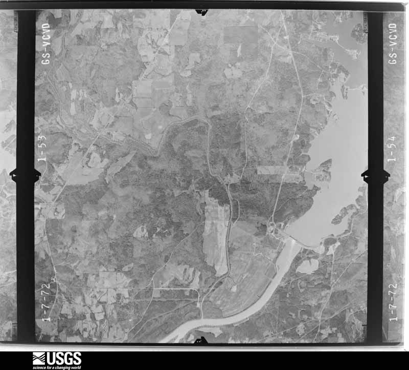
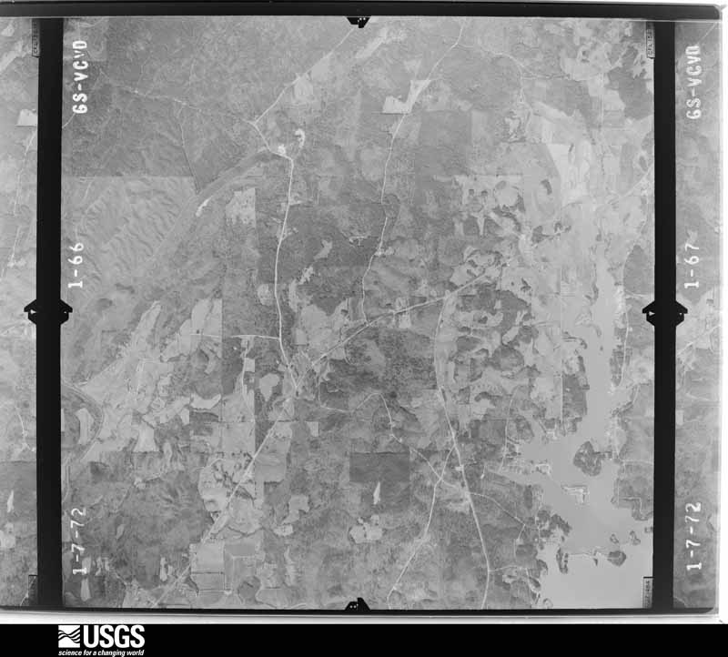
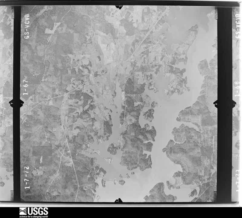
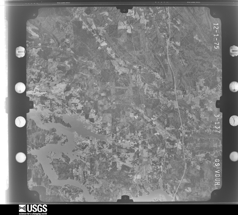
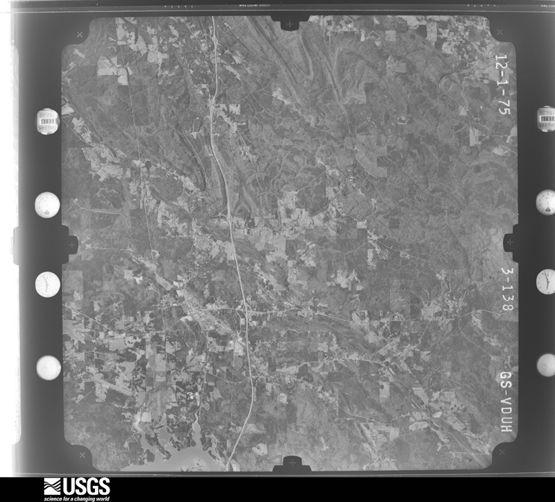
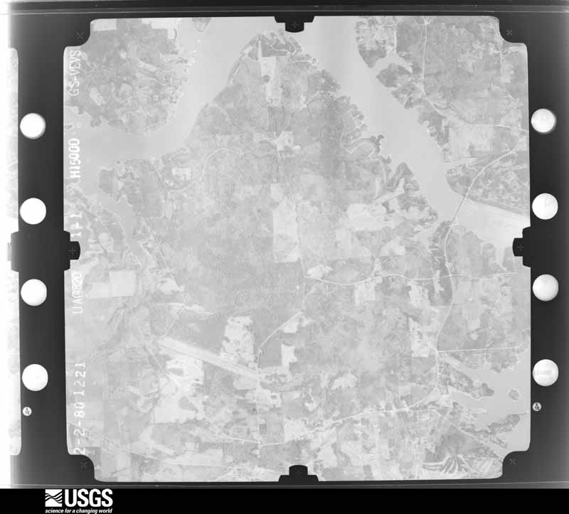
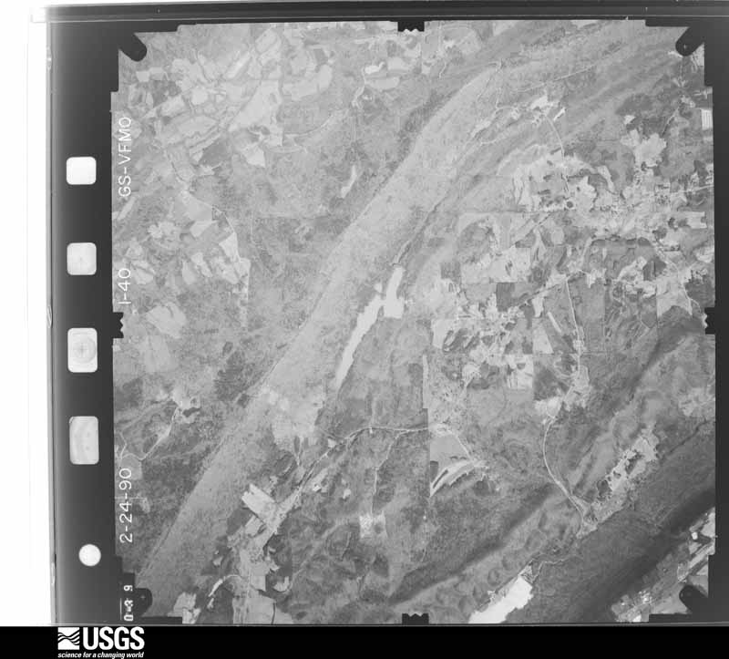
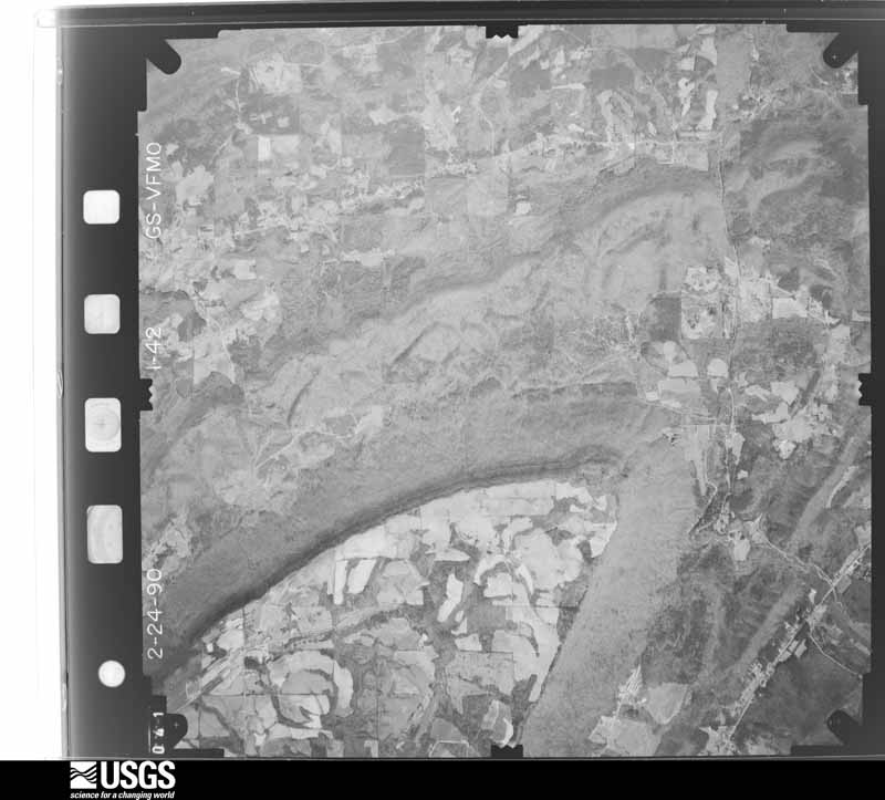
Flown by the U.S. Geological Survey between 1937 and 1989, the Aerial Photo Single Frames collection is the definitive mid-century view of the land: fields, roads and rivers as the camera saw them. The Survey holds 1,652 frames inside the rectangle that bounds this county; the 40 frames below were taken over the county itself, chosen across the decades of flights (at most four a year from that rectangle), so one flight cannot crowd out the rest. The full set is free to browse and download at EarthExplorer under the dataset Aerial Photo Single Frames.

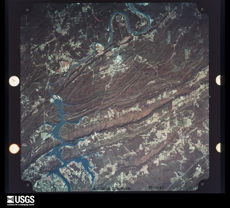
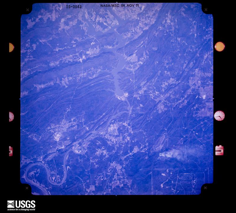
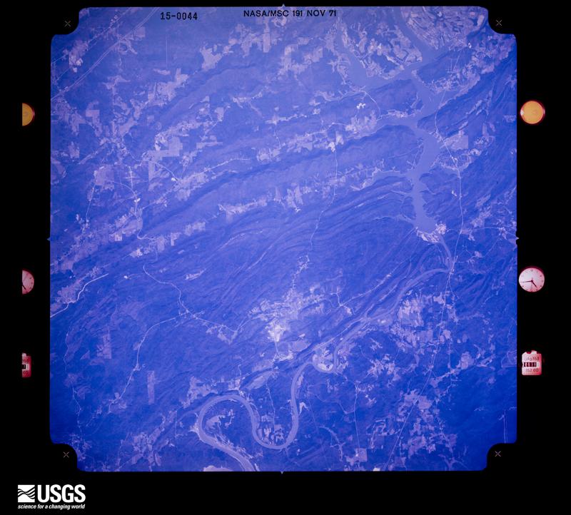
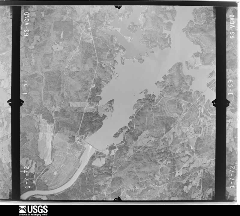



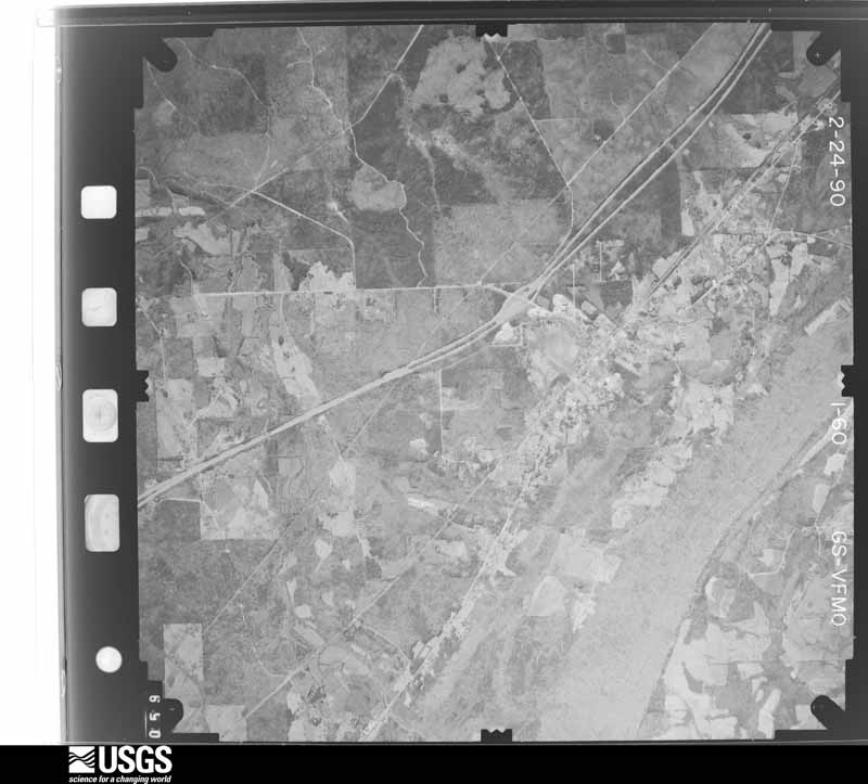
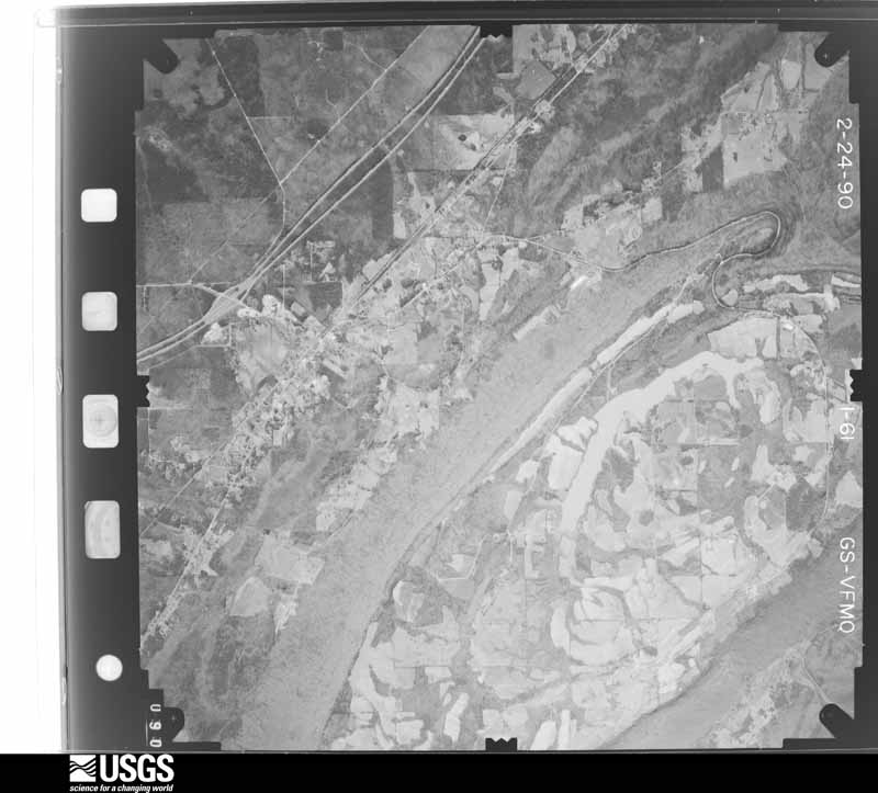
The thermometers that kept this county's weather, and the gages that measured the flow of its streams, as the federal records hold them. The extremes below are measured values from those records, not estimates.
Who lived here in 1950, one enumeration district at a time, as the Census Bureau described each district. Each row opens its official National Archives result, with Population Schedules and ED Maps available there.
Every wildfire the federal occurrence database records inside this county: 1,142 of them, burning about 15,882 acres. 14 started naturally and 375 were recorded as arson. Each settlement page carries the fires within five miles of it.
| Reported cause | Fires |
|---|---|
| Debris and open burning | 472 |
| Arson/incendiarism | 375 |
| Missing data/not specified/undetermined | 123 |
| Recreation and ceremony | 61 |
| Equipment and vehicle use | 28 |
| Smoking | 28 |
| Railroad operations and maintenance | 18 |
| Natural | 14 |
| Misuse of fire by a minor | 13 |
| Power generation/transmission/distribution | 8 |
| Other causes | 1 |
| Fireworks | 1 |
The five largest, by the area the report gives. Five of them were set deliberately.
| Date | Cause | Size | Reported by | Name on the report |
|---|---|---|---|---|
| 5 March 1996 | Debris and open burning | 600 acres | Alabama Forestry Commission | not named |
| 10 September 1999 | Arson/incendiarism | 508 acres | Alabama Forestry Commission | not named |
| 14 November 2016 | Railroad operations and maintenance | 396 acres | Alabama Forestry Commission | 20161114-15 |
| 13 August 2010 | Arson/incendiarism | 230 acres | Alabama Forestry Commission | GREAT EASTERN FIRE |
| 24 July 1995 | Debris and open burning | 220 acres | Alabama Forestry Commission | not named |
| 17 February 2011 | Arson/incendiarism | 213 acres | Alabama Forestry Commission | CR 23, AL |
| 24 February 2007 | Arson/incendiarism | 210 acres | Alabama Forestry Commission | CEMENT |
| 24 February 2000 | Arson/incendiarism | 200 acres | Alabama Forestry Commission | not named |
Every settlement page carries the fires within five miles of it - see the settlement index below.
The NOAA Storm Events Database holds 470 reports for this county, causing 45 deaths, 281 injuries and about $240,465,000 in recorded property damage. Each settlement page carries the reports that name it.
| Kind of event | Reports |
|---|---|
| Thunderstorm Wind | 273 |
| Hail | 113 |
| Tornado | 44 |
| Flash Flood | 30 |
| Lightning | 4 |
| Funnel Cloud | 3 |
| Flood | 2 |
| Heavy Rain | 1 |
The most serious of them, by death, then injury, then recorded damage. The accounts are quoted exactly as the forecast office filed them.
| When | Event | Place named | Harm | What the report says |
|---|---|---|---|---|
| March 1994 | Tornado (F4) | Ragland to 5 NE Rock | 22 killed, 150 hurt, $500,000 | A tornado began about one mile south-southwest of Ragland in St. Clair County at 1055 CST and traveled northeast at between 45 and 55 miles an hour crossing the Alabama/Georgia border about five miles northeast of Rock Run in Cherokee County. The tornado moved across County Highway 144 just south-southwest of Ragland where it first began then destroyed a number of structures along 144 to the east of Ragland. The tornado crossed primarily wooded land before moving through a camping area on the west side of Neely Henry Lake. A woman was killed outside on the west side of the lake as she tried to secure a boat. The tornado crossed Neely Henry Lake just north of the dam as it moved into Calhoun County. Twenty-six homes were damaged, 18 homes were destroyed, and 20 mobile homes were destroyed in St. Clair County. Moving into Calhoun County at 1104 CST, the storm continued on a steady northeast track (60 degree heading) crossing the north side of Ohatchee. The storm crossed U.S. Highway 431 at 1120 CST where one man was killed when the van he was in was thrown into a ditch. Three other people in the van were injured. The storm continued northeast across mostly woodlands with only scattered structures, mostly homes, in its path. It crossed U.S. Highway 278 between four and five miles west-northwest of Piedmont. The storm entered Cherokee County at 1135 CST. At 1139 CST the tornado destroyed the Goshen United Methodist Church located one mile north of the Cherokee/Calhoun County line on County Highway 9 killing 20 people and injuring 92. The tornado continued northeast across Cherokee County reaching the Alabama/Georgia state line at approximately 1152 CST. Deaths: St. Clair County - (F540); Calhoun County - (M49V); Cherokee County - (F02O) (M03O) (F04O) (M05O) (F10O) (M12O) (F24O) (M25O) (F34O) (M34O) (M37O) (M38O) (M39O) (M44O) (F50O) (M54O) (F54O) (M64O) (F72O) (M79O) |
| April 2011 | Tornado (EF4) | Sanie | 13 killed, 30 hurt, $200,000,000 | This tornado initially touched down in eastern Jefferson County, north northeast of Trussville and moved northeast through portions of St. Clair, Calhoun, Etowah and Cherokee Counties. The tornado then moved into Georgia, across Polk, Floyd and Bartow (See Storm Data Peachtree City) Counties. The tornado crossed into St. Clair County near Argo where it caused mostly tree damage consistent with an EF1 rating as it tracked north of Margaret. The tornado began to strengthen as it neared US Hwy 411 where it caused minor roof damage to one home. The tornado crossed US Hwy 411 north of Odenville, taking a turn to the northeast, and then moved parallel to Shoal Creek. The tornado strengthened rapidly to an EF4 with winds of 170 mph, and caused extensive damage along Shoal Creek Rd, east of CR 26. At least 6 homes were destroyed, with only small interior rooms remaining. At least one home was swept clean from the foundation. Many mobile homes were also destroyed. In addition, tree damage was extensive in this area, with every tree left mangled. At least 14 fatalities occurred along Shoal Creek Rd. The path width increased to around 1 mile as the tornado approached Neely Henry Lake and the Calhoun County line. The tornado maintained a path along Shoal Creek Rd until it crossed the lake. ||This tornado was produced by a supercell thunderstorm that began in Newton County Mississippi at 13:54 pm CST, and dissipated in Macon County, North Carolina at approximately 21:18 pm CST. This supercell spawned several strong to violent tornadoes along its long path, including another violent EF4 tornado that crossed portions of Tuscaloosa and western suburbs of the Birmingham. |
| July 1995 | Thunderstorm Wind | Ragland | 3 killed, 4 hurt, $23,000 | A strong wind gust with a thunderstorm collapsed a boat house under construction killing three people and injuring four others who had sought shelter. Eight people boating on Neely Henry Lake sought shelter in a partially completed boat house on the St. Clair shore of the lake. The people were injured and killed when the boat house roof collapsed during the wind gust. (F29O, F06O, M04O) |
| April 1998 | Tornado (F2) | Moody | 2 killed, 12 hurt, $2,000,000 | The tornado began 2.3 miles north-northeast of Moody and just west of US 411. The tornado crossed US 411 where a large church and associated buildings, some recently constructed were destroyed. The tornado traveled on an east-northeast track moving through relatively rural areas. It affected a portion of CR 174 and then crossed US 231 just south of Wattsville. The tornado damaged a number of buildings in the Coal City area including a mobile home where two people were killed and three children were injured. The tornado ended in an open area just east of Coal City. Emergency Management for St. Clair County reported that 26 homes were destroyed, 30 homes suffered major damage, and 59 sustained minor damage. This included 42 mobile homes. |
| January 1975 | Tornado (F3) | not stated | 1 killed, 60 hurt, $2,500,000 | no account filed |
| November 2004 | Flash Flood | Countywide | 1 killed, $400,000 | Several roads were reported covered with water and were temporarily impassable. Several area streams and creeks rose above bankfull. Doppler radar estimated widespread rain amounts of 4 to 5 inches with a few spots approaching 12 inches. A potential dam break situation developed in the afternoon. The dam eventually failed near the Friendship Community resulting in significant damage. Runoff from these storms lasted for several hours after the heaviest rains ended. A 73 year old man died when his car was swept away in the high water near Pinedale Road. |
| April 1977 | Tornado (F3) | not stated | 1 killed, $250,000 | no account filed |
| April 2011 | Thunderstorm Wind | Pell City | 1 killed | Storm damage in and around the cities of Pell City and Riverside was found to be consistent with straight-line winds, with peak wind gusts estimated between 80 and 100 mph. There was a diffuse and intermittent, yet discernible, swath of wind damage that extended from just west of the St. Clair County Courthouse, northeastward across Pell City, Industrial Park Drive, Interstate 20, and through Riverside. Additional isolated wind damage was noted to the south and east of this main damage swath. The most significant damage across the area were several large trees that were uprooted, causing damage to homes and structures. One fatality was caused when a large oak tree was uprooted and fell on a manufactured home. Two metal buildings received direct damage from the winds; the damage on both of these buildings appears to have been associated with the failure of large doors. Dozens of homes in the area received minor roof damage as well. |
| April 2011 | Thunderstorm Wind | Acmar | 1 killed | Storm damage to the east of Moody was found to be consistent with straight-line winds, with peak wind gusts estimated between 80 and 100 mph. A broad swath of enhanced damage was found in a largely wooded area a couple miles northeast of the Brompton community. In this area, numerous trees were snapped off and uprooted. One tree fell onto a mobile home, fatally injuring one of its occupants. Several other buildings received varying degrees of damage, both directly from the wind and as a result of trees being blown on top of them. |
| February 1990 | Tornado (F1) | not stated | 11 hurt, $2,500,000 | no account filed |
| April 2011 | Tornado (EF2) | Branchville | 5 hurt, $865,000 | A tornado developed along a Quasi-Linear Convective System. It touched down in central St Clair County, near Odenville. The tornado touched down in a field southwest of the intersection of AL Hwy 174 and Blair Farms Rd. As it moved northeast, it quickly strengthened to an EF2 rating with winds of 120 mph and caused significant damage to two multi-story brick homes, along AL Hwy 174. One house lost a large portion of its roof deck material. The well built detached garage of the other house was shifted off its foundation, with the intact roof landing and squashing the remaining structure. The tornado continued northeast and tracked parallel to US Hwy 411, before it lifted near the intersection of Pleasant Valley Road and Cedar Ln, where a few trees were blown down. |
| November 2001 | Tornado (F2) | Pell City | 2 hurt, $500,000 | A tornado rated an F2 began weakly on the west-southwest side of Pell City just behind the school at 3:10 pm. The tornado traveled on an east-northeast path downing a communication tower at the EMA/911 office and doing minor roof damage. The storm then crossed over downtown Pell City where a number of buildings sustained light to moderate roof damage along with awnings damaged and some windows broken. The tornado crossed US 231 and became very weak, possibly lifting for a little more than a mile, before slamming into a number of buildings in an industrial park. Some of the greatest destruction was done here. The tornado crossed Interstate 20 and ended after damaging a couple of houses on Sprayberry Road at approximately 3:17 pm.The tornado path was 4.5 miles long and approximately 100 yards wide at the widest. No deaths occurred in this tornado but there were two injuries, both classified as minor.Beginning: 33 34.926/86 17.647 Ending: 33 37.039/86 14.029 |
| December 2000 | Tornado (F2) | Ashville | 2 hurt, $175,000 | In St. Clair County, an F2 tornado track extended from near Cool Springs to south of Ashville to near Gum Springs Church. The total track was 8.5 miles long and about 200 yards wide at its widest point. The tornado began at 220 PM on County Road 31, just west of Cool Springs. The tornado lifted around 231 PM about 3 miles east of Ashville. Four houses sustained significant damage and two mobile homes were annihilated. A baseball park was damaged at the Ashville High School. Two injuries occurred near the beginning of the tornado track near Cool Springs. Beginning: 33 47.292/86 19.737 Ending: 33 50.819/86 12.055 |
| June 2025 | Lightning | Easonville | 2 hurt | Lightning struck a boat on Logan Martin Lake near Pirate Island, resulting in two injuries. One was transported to a hospital. The boat caught fire and sank shortly afterwards. |
| May 2025 | Lightning | Oak Ridge | 1 hurt | A lightning strike at 10:31 am CDT along 30th Street N in Pell City resulted in an injury. |
| April 2016 | Thunderstorm Wind | Margaret | 1 hurt | Large tree down on house on Michael Street with one injury. |
| June 1984 | Thunderstorm Wind | not stated | 1 hurt | no account filed |
| May 1973 | Tornado (F3) | not stated | $25,000,000 | no account filed |
| May 2003 | Flash Flood | Countywide | $1,000,000 | Numerous roads were flooded and temporarily closed due to high water. Especially hard hit was the city of Pell City where City Hall was flooded and power was out for over 24 hours. Several mobile homes and homes were destroyed by the flooding. Numerous swift water rescues were performed in the Cook Springs and Prescott areas. Several stores were flooded in Moody along Moody Parkway. Many municipal buildings in Moody were also flooded. Several businesses were flooded in Springville and Odenville. Several cattle were killed by a lightning strike during the storms. Also, at least 7000 customers were without power for several hours as the storms repeatedly moved through the area. |
| February 2008 | Thunderstorm Wind | Prescott | $500,000 | Wind gusts estimated up to 105 mph blew down and snapped numerous trees and power lines across the southern portion of Saint Clair County, from Camp Winnataska eastward to the county line near Pell City. Five homes sustained roof and structural damage from downed trees in Margaret, 2 homes were damaged in Chula Vista, and at least a dozen homes were damaged in the Hunting Ridge area of Pell City. Fifty to 100 trees were blown down or snapped off near the Wolf Creek Fire Department. |
| April 1994 | Tornado (F0) | Branchville | $500,000 | An off-duty police officer and two citizens saw a funnel cloud dip down and go back into the cloud at 1724 CST. The damaging winds associated with the tornado produced damage at the Pecan Grove Trailer Park off Highway 411 in Branchville. Twelve mobile homes and three houses were damaged and about 50 trees were uprooted or snapped off. |
| November 2001 | Tornado (F2) | Margaret | $300,000 | no account filed |
| February 2008 | Tornado (EF1) | Easonville | $250,000 | Within a broad swath of wind damage, a tornado path was also found in Saint Clair County. The tornado touched down near Easonville Road, about a mile west of US-231. The tornado then traveled east, crossing US-231, before lifting at AL-34 near the Cropwell Community. In the Hunting Ridge subdivision, a dozen homes sustained roof or structural damage, five outbuildings sustained structural damage, and several power lines were downed. On Holiday Estates Drive, six homes sustained roof or structural damage, and additional power lines were downed. At the Pell City sports complex, several signs, fences, and dugouts were damaged. Across this entire path several hundred trees were uprooted or snapped. |
| April 1977 | Tornado (F2) | not stated | $250,000 | no account filed |
| April 1977 | Tornado (F2) | not stated | $250,000 | no account filed |
| March 1973 | Tornado (F1) | not stated | $250,000 | no account filed |
| May 1973 | Tornado (F2) | not stated | $250,000 | no account filed |
| February 1999 | Thunderstorm Wind | Ashville | $240,000 | Significant straight line wind damage occurred in NE St. Clair County. The damage length was 3 miles and the average damage width was 1/4 mile. The damage paralleled CR 24 starting near Lickskillet Road and ended in the Lakeview Canyon Road area. The Oldham Chapel Church fellowship hall was destroyed. One house had its roof blown off and an adjacent garage was pushed off its foundation. Several mobile homes were damaged and one was destroyed. Hundreds of trees were either uprooted or snapped off and power lines were blown down. |
| July 1997 | Thunderstorm Wind | Ragland | $200,000 | A downburst hit the city of Ragland and caused severe damage to a church and damage to about 40 homes. None of the homes were completely destroyed, but several received severe roof damage. It also knocked down trees and power lines across the city. About 300 people in the area were without power until late into the night. |
| May 2009 | Tornado (EF1) | New London | $100,000 | The tornado touched down in Pleasant Grove along CR-27. It then tracked northeastward and generally paralleled CR-27 and Wolf Creek. The tornado crossed Interstate 20 near the intersection of US-231 in Pell City, and continued northeastward all the way to the Coosa River just beyond the River Ranch Road Community. Numerous trees and power poles were snapped off along the path. Many fallen trees and power poles landed on homes and outbuildings. |
| May 2003 | Tornado (F1) | Pell City | $85,000 | This was the first of two tornadoes to touch down in St. Clair County. It began at the intersection of SR174 and Cook Springs Road northwest of Pell City. The tornado traveled southeasterly through the Bowman Circle and Stewarts areas crossing Mineral Springs Road and lifting just before reaching Interstate 20 (between exits 156 and 158). The tornado downed many trees and power lines and also damaged a few buildings in the area. At least one mobile home was destroyed.Beg: 33 38.519/86 21.652 End: 33 36.308/86 17.702 |
| December 2008 | Tornado (EF1) | Acmar | $82,000 | The tornado touched down near the intersection of US-411, Meyers Road, and Church Road, near the Bethel Baptist Church. It then traveled northeastward and lifted just northeast of AL-174. At least 5 homes suffered extensive roof damage. At least 4 outbuildings were completely destroyed. Approximately 100 trees were either uprooted or snapped off. A glass enclosed sun-room was completely destroyed. |
| April 2000 | Flash Flood | Countywide | $80,000 | Numerous roads were flooded across the county when one to three inches of rain fell on already saturated ground. Rainfall totals for the storm event from the 1st to the 4th totaled six inches or more. Several roads were washed away. |
| June 1999 | Flash Flood | Moody | $75,000 | Three to five inches of rain, most in a two hour period, flooded several businesses along Moody Parkway. According to newspaper reports, a few homes were flooded and a couple of roads were closed due to high water. |
| November 2004 | Tornado (F0) | Cropwell | $75,000 | no account filed |
| May 2009 | Tornado (EF1) | Prescott | $60,000 | A brief tornado touched down near the intersection of Sequoyah Road and Cherokee Road, near the Stewarts Crossroads Community. Several trees were blown down along the short path. At least 10 homes suffered minor to moderate damage associated with the fallen trees. |
| September 2009 | Flash Flood | Margaret | $50,000 | Flooding, described as major, was reported in Argo, with almost a foot of water into some businesses on Main Street. |
| June 2007 | Thunderstorm Wind | Pell City | $50,000 | Scattered tree damage was reported all around Pell City, at least one of which fell onto a house. The roof of a junior high school, and a nearby city services building, both received damage. The batting cage at a high school ball field was blown into a fence, damaging about 100 feet of the fence. Several storage sheds in a home improvement store were blown down an embankment and heavily damaged. |
| May 2003 | Thunderstorm Wind | Moody | $50,000 | Numerous trees and power lines were blown down. This damage occurred outside of the tornado damage area that occurred near Pell City. |
| September 2004 | Flash Flood | Countywide | $50,000 | no account filed |
| May 2003 | Hail | Countywide | $40,000 | Pea to golf ball size hail fell across the county as a line of severe thunderstorms pushed through the county. |
| November 2002 | Tornado (F1) | Steele | $40,000 | A weak tornado touched down on Chandler Mountain causing minor damage to about three houses and downing several trees. The tornado came off the mountain (plateau) and damaged one structured and downed trees at the base of the mountain before dissipating. No injuries were reported.Beg: 33 57.002/86 15.331 End: 33 57.482/86 11.950 |
| January 1998 | Flash Flood | Countywide | $30,000 | no account filed |
| May 2003 | Thunderstorm Wind | Pell City | $28,000 | Thunderstorm wind cut a swath of damage from a rural area across some homes in the eastern section of St. Clair County just north of Riverside. Several homes sustained minor damage on Lock 4 Road. |
| May 2003 | Flash Flood | Countywide | $25,000 | Numerous roadways and bridges were temporarily impassable due to high water. Many areas reported flooding from near Argo to near Riverside. At least 4000 customers were temporarily without power during the height of the storm. |
| January 1999 | Thunderstorm Wind | Springville | $25,000 | Three homes sustained substantial damage from high winds and numerous trees and power lines were blown down in Argo near US 11 and Katy Lane. A few barns and outbuildings also sustained damage.. |
| April 1985 | Tornado (F1) | not stated | $25,000 | no account filed |
| March 1967 | Tornado (F2) | not stated | $25,000 | no account filed |
| November 1965 | Tornado (F2) | not stated | $25,000 | no account filed |
| April 1964 | Tornado (F1) | not stated | $25,000 | no account filed |
| April 2009 | Tornado (EF1) | Greensport | $20,000 | The tornado touched down at the intersection of US-411 and Joshua Drive, several miles northeast of Ashville. It then moved nearly coincident with US-411 for about 3 miles, lifting just west of Mopar Drive. About 50 trees were snapped or uprooted, but no other damage was found. |
| August 2008 | Tornado (EF1) | St Clair Spgs | $20,000 | The tornado touched down just northeast of the Saint Clair Correctional Facility. It then moved northwest, crossing AL-23 and Interstate 59, and then lifted just east of the intersection of AL-23 and US-11. A few structures had minor damage from fallen trees. Otherwise, damage was primarily snapped softwood trees along the path. This tornado was associated with the remnants of Tropical Storm Fay. |
| July 2002 | Lightning | Countywide | $20,000 | Two homes were struck by lightning in St. Clair County. Both homes had subsequent fires that caused damage. No injuries were reported. |
| February 2000 | Thunderstorm Wind | Pell City | $20,000 | Trees were knocked down along SR 31. One of the downed trees fell onto a house. |
| June 1998 | Thunderstorm Wind | Springville | $20,000 | Power lines were down in Springville. |
| September 2002 | Flash Flood | Countywide | $20,000 | no account filed |
| June 2002 | Thunderstorm Wind | Countywide | $18,000 | Numerous trees and power lines were blown down across the county. One tree fell on a mobile home in Pell City causing significant damage. Other areas where trees fell include Wattsville, Pinedale, and Riverside. |
| May 2003 | Thunderstorm Wind | Moody | $17,000 | Another powerful, severe thunderstorm moved across southern St. Clair County. Several trees and power lines were blown down. Several damaging storms moved across the same general area through the afternoon hours. |
| July 2003 | Flash Flood | Countywide | $17,000 | no account filed |
| April 2011 | Thunderstorm Wind | Ragland | $15,000 | Numerous trees were knocked down causing roof damage to many homes. |
The Survey's mineral resources record lists 59 workings inside this county. 7 still produce and 52 are closed or unrecorded. Each settlement page carries the workings within five miles of it.
| Commodity | Workings |
|---|---|
| Iron | 43 |
| Barium-Barite | 4 |
| Sand and Gravel, Construction | 3 |
| Clay | 3 |
| Stone, Crushed/Broken | 2 |
| Copper, Limestone, General | 1 |
| Stone | 1 |
| Aluminum | 1 |
| Lead | 1 |
| Manganese | 1 |
The least common of them first, because a county's hundredth gravel pit says nothing its first ten did not.
| Where | Site | Commodity | Status | Recorded |
|---|---|---|---|---|
| Greasy Cove Deposit | Manganese | Past Producer | 1934 | |
| Hebble Mine | Aluminum | Past Producer | ||
| Odenville Copper Prospect | Copper, Limestone, General | Occurrence | 1925 | |
| Pete Green Prospect | Barium-Barite, Lead | Occurrence | ||
| Ragland Cement Plant | Stone | Plant | ||
| Ragland Quarry | Stone, Crushed/Broken | Past Producer | ||
| Ragland Quarry | Stone, Crushed/Broken | Producer | ||
| Coosa Pit Number 1 | Sand and Gravel, Construction | Producer | Quartz | |
| Dobbins Quarry | Sand and Gravel, Construction | Producer | Quartz | |
| Pit No 1 | Sand and Gravel, Construction | Producer | ||
| Ragland Mine | Clay | Producer | ||
| Ragland Shale Pit | Clay | Prospect | ||
| Riverside Pit | Clay | Producer | ||
| A T Cox Prospect | Barium-Barite | Prospect | ||
| Will Morris | Barium-Barite | Past Producer | Residual | |
| Will Morris Mine | Barium-Barite | Past Producer | ||
| Ashville Tract | Iron | Unknown | ||
| Barker Mountain Prospect | Iron | Prospect | ||
| Goodwins Mill Area | Iron | Past Producer | ||
| Greasy Cove Mines | Iron | Past Producer | ||
| Jump-Off Rock | Iron | Unknown | ||
| No Name, Springvile Area | Iron | Past Producer | Hematite | |
| Odenville | Iron | Unknown | ||
| Springville-St. Clair Area | Iron | Past Producer | Hematite | |
| St. Clair County | Iron | Prospect | ||
| Unnamed | Iron | Unknown | ||
| Unnamed | Iron | Unknown | ||
| Unnamed | Iron | Unknown | ||
| Unnamed | Iron | Unknown | ||
| Unnamed | Iron | Unknown | ||
| Unnamed | Iron | Unknown | ||
| Unnamed | Iron | Unknown | ||
| Unnamed | Iron | Unknown | ||
| Unnamed | Iron | Unknown | ||
| Unnamed | Iron | Unknown | ||
| Unnamed | Iron | Unknown | ||
| Unnamed | Iron | Unknown | ||
| Unnamed | Iron | Unknown | ||
| Unnamed | Iron | Unknown | ||
| Unnamed | Iron | Unknown | ||
| Unnamed Mine | Iron | Past Producer | ||
| Unnamed Mine | Iron | Past Producer | ||
| Unnamed Mine | Iron | Past Producer | ||
| Unnamed Mine | Iron | Past Producer | ||
| Unnamed Mine | Iron | Past Producer | ||
| Unnamed Mine | Iron | Past Producer | ||
| Unnamed Prospect | Iron | Prospect | ||
| Unnamed Prospect | Iron | Occurrence | ||
| Unnamed Prospect | Iron | Prospect | ||
| Unnamed Prospect | Iron | Occurrence | ||
| Unnamed Prospect | Iron | Occurrence | ||
| Unnamed Prospect | Iron | Prospect | ||
| Unnamed Prospect | Iron | Prospect | ||
| Unnamed Prospect | Iron | Prospect | ||
| Unnamed Prospect | Iron | Occurrence | ||
| Unnamed Prospect | Iron | Prospect | ||
| Unnamed Prospect | Iron | Occurrence | ||
| Unnamed Prospect | Iron | Occurrence | ||
| Unnamed Prospect | Iron | Prospect |
Named settlements recorded in the Geographic Names Information System, each with the topographic sheets covering it. Villages, hamlets and abandoned places alike. Each is shown with the nearest named watercourse or landform and the survey quadrangle it falls on.
Moody census division · 35004 · On Little Black Creek · Cooks Springs quadrangle
21 sheets, 1889 to 1984
Ashville census division · 35953 · On Locust Branch · Ashville quadrangle
19 sheets, 1889 to 1984
Moody census division · 35004 · On Hawkins Branch · Leeds quadrangle
27 sheets, 1889 to 1998
Pell City census division · 35125 · On Fannin Branch · Pell City quadrangle
21 sheets, 1889 to 1984
Moody census division · 35004 · On Little Black Creek · Leeds quadrangle
27 sheets, 1889 to 1998
Springville census division · 35120 · Near Stovall Mountain · Odenville quadrangle
19 sheets, 1889 to 1984
Moody census division · 35004 · On Head Springs · Cooks Springs quadrangle
21 sheets, 1889 to 1984
Pell City census division · 35054 · On Cropwell Branch · Pell City quadrangle
21 sheets, 1889 to 1984
Ashville census division · 35987 · On Jake Creek · Hyatt Gap quadrangle
21 sheets, 1889 to 1984
Moody census division · 35125 · Near Tunnel Hill · Pell City quadrangle
21 sheets, 1889 to 1984
Pell City census division · 35131 · On Suck Creek · Wattsville quadrangle
21 sheets, 1889 to 1984
Moody census division · 35128 · Near Tunnel Hill · Cooks Springs quadrangle
21 sheets, 1889 to 1984
Ragland census division · 35953 · On Little Canoe Creek · Ashville quadrangle
19 sheets, 1889 to 1984
Springville census division · 35120 · Near Pine Ridge · Odenville quadrangle
19 sheets, 1889 to 1984
Pell City census division · 35125 · On Fannin Branch · Pell City quadrangle
21 sheets, 1889 to 1984
Springville census division · 35120 · Near Pine Ridge · Odenville quadrangle
19 sheets, 1889 to 1984
Pell City census division · On Blue Spring Branch · Pell City quadrangle
21 sheets, 1889 to 1984
Pell City census division · 35128 · On Dye Creek · Riverside quadrangle
24 sheets, 1889 to 1984
Pell City census division · 35125 · On Sand Branch · Pell City quadrangle
21 sheets, 1889 to 1984
Ragland census division · 35131 · Near Starvation Valley · Ragland quadrangle
24 sheets, 1889 to 1984
Pell City census division · 35128 · On Blue Spring Branch · Pell City quadrangle
21 sheets, 1889 to 1984
Ashville census division · 35972 · Near Red Mountain · Hyatt Gap quadrangle
21 sheets, 1889 to 1984
Pell City census division · 35054 · Near Treasure Island · Laniers quadrangle
21 sheets, 1890 to 1984
No longer a settlement
Ashville census division · 35987 · On Logan Branch · Steele quadrangle
22 sheets, 1889 to 1984
Springville census division · 35146 · On Walker Branch · Springville quadrangle
21 sheets, 1889 to 1984
Springville census division · 35120 · Near Anderson Mountain · Odenville quadrangle
19 sheets, 1889 to 1984
Pell City census division · 35128 · On Easonville Creek · Pell City quadrangle
21 sheets, 1889 to 1984
Pell City census division · 35125 · On Dunlap Spring Branch · Pell City quadrangle
21 sheets, 1889 to 1984
Springville census division · 35120 · Near Stovall Mountain · Odenville quadrangle
19 sheets, 1889 to 1984
Moody census division · 35004 · On Hawkins Branch · Leeds quadrangle
27 sheets, 1889 to 1998
Moody census division · 35004 · On Little Black Creek · Leeds quadrangle
27 sheets, 1889 to 1998
Pell City census division · 35054 · On Blue Spring Branch · Pell City quadrangle
21 sheets, 1889 to 1984
Pell City census division · 35128 · On West Branch Fishing Creek · Riverside quadrangle
24 sheets, 1889 to 1984
Pell City census division · 35128 · On Roberts Creek · Pell City quadrangle
21 sheets, 1889 to 1984
Moody census division · 35120 · Near Oak Ridge · Odenville quadrangle
19 sheets, 1889 to 1984
Pell City census division · 35128 · Riverside quadrangle
24 sheets, 1889 to 1984
Pell City census division · 35054 · Near Treasure Island · Laniers quadrangle
21 sheets, 1890 to 1984
Moody census division · 35094 · On Hawkins Branch · Leeds quadrangle
27 sheets, 1889 to 1998
Moody census division · 35004 · Near Hurst Hill · Cooks Springs quadrangle
21 sheets, 1889 to 1984
Moody census division · 35004 · Near Hurst Hill · Cooks Springs quadrangle
21 sheets, 1889 to 1984
Pell City census division · 35054 · Near Camp Creek Mountain · Laniers quadrangle
21 sheets, 1890 to 1984
Pell City census division · 35125 · On Fannin Branch · Pell City quadrangle
21 sheets, 1889 to 1984
Springville census division · 35120 · Near Pine Ridge · Odenville quadrangle
19 sheets, 1889 to 1984
Pell City census division · 35125 · On Dunlap Spring Branch · Pell City quadrangle
21 sheets, 1889 to 1984
Moody census division · 35004 · On Middle Black Creek · Argo quadrangle
27 sheets, 1889 to 1984
Moody census division · 35128 · On Hearthstone Creek · Cooks Springs quadrangle
21 sheets, 1889 to 1984
Pell City census division · 35125 · On Fannin Branch · Pell City quadrangle
21 sheets, 1889 to 1984
Moody census division · 35128 · On Lee Branch · Cooks Springs quadrangle
21 sheets, 1889 to 1984
Ragland census division · 35131 · On Green Branch · Ragland quadrangle
24 sheets, 1889 to 1984
Moody census division · 35004 · On Little Black Creek · Leeds quadrangle
27 sheets, 1889 to 1998
Pell City census division · 35128 · On Cropwell Branch · Pell City quadrangle
21 sheets, 1889 to 1984
Pell City census division · 35054 · On Cropwell Branch · Pell City quadrangle
21 sheets, 1889 to 1984
Pell City census division · 35054 · Near Treasure Island · Laniers quadrangle
21 sheets, 1890 to 1984
Springville census division · 35146 · Springville quadrangle
21 sheets, 1889 to 1984
Pell City census division · 35135 · On Fishing Creek · Riverside quadrangle
24 sheets, 1889 to 1984
Springville census division · 35120 · Near Anderson Mountain · Odenville quadrangle
19 sheets, 1889 to 1984
Moody census division · 35004 · Cooks Springs quadrangle
21 sheets, 1889 to 1984
Springville census division · 35146 · Near Middle Ridge · Springville quadrangle
21 sheets, 1889 to 1984
Springville census division · 35146 · Remlap quadrangle
24 sheets, 1889 to 1984
Moody census division · 35125 · On Stewarts Head Creek · Pell City quadrangle
21 sheets, 1889 to 1984
Moody census division · 35128 · On Patterson Branch · Cooks Springs quadrangle
21 sheets, 1889 to 1984
Moody census division · 35125 · On Tanyard Branch · Wattsville quadrangle
21 sheets, 1889 to 1984
Pell City census division · 35125 · On Dunlap Spring Branch · Pell City quadrangle
21 sheets, 1889 to 1984
Moody census division · 35173 · On Big Black Creek · Leeds quadrangle
27 sheets, 1889 to 1998
Ashville census division · 35953 · On Early Creek · Ashville quadrangle
19 sheets, 1889 to 1984
Ashville census division · 35987 · On Early Creek · Ashville quadrangle
19 sheets, 1889 to 1984
Pell City census division · 35128 · On Hearthstone Creek · Cooks Springs quadrangle
21 sheets, 1889 to 1984
The vanished settlements of St. Clair County: the places named above that are no longer on the map.