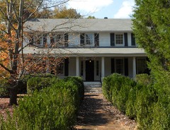
Block
From the record
27 National Register listings published here, 2 of them National Historic Landmarks.
Sources: the National Register database, National Park Service
146 topographic sheets and 15 fire insurance atlases across 2 places.
27 National Register listings published here, 2 of them National Historic Landmarks.
Sources: the National Register database, National Park Service
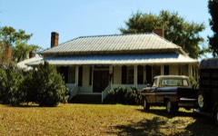
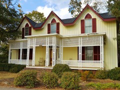
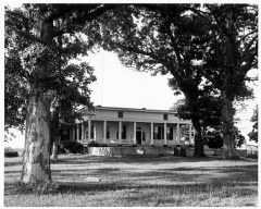
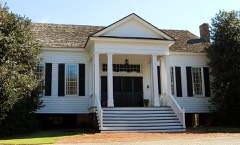
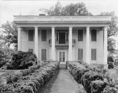
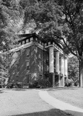
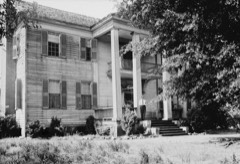
Taken for the Office of War Information and the Farm Security Administration, who photographed the country between 1935 and 1944. Works of United States government photographers, with no known restriction on use. Each opens its catalogue record.
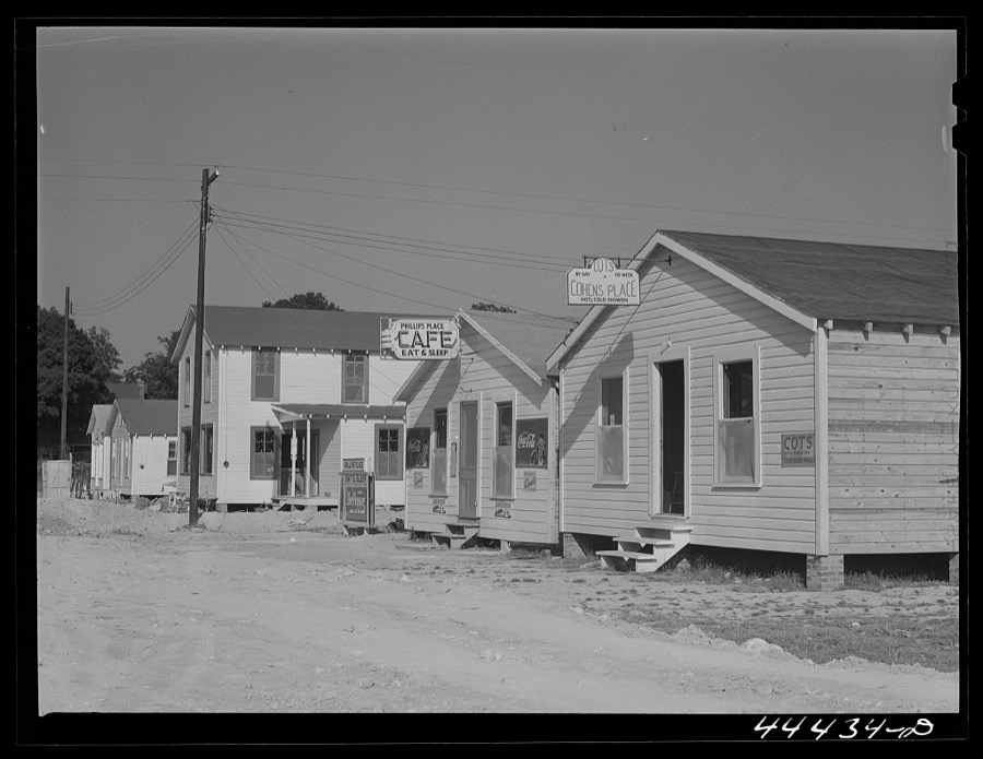
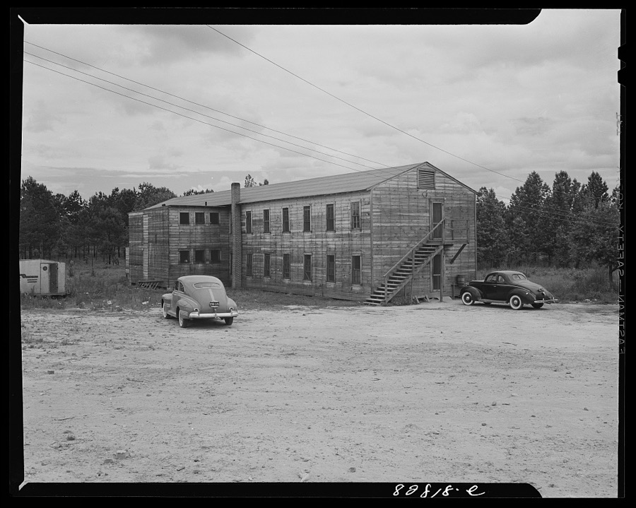
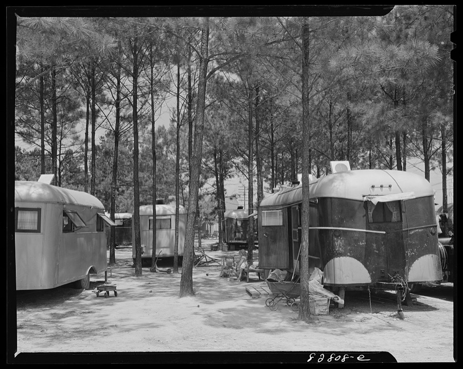
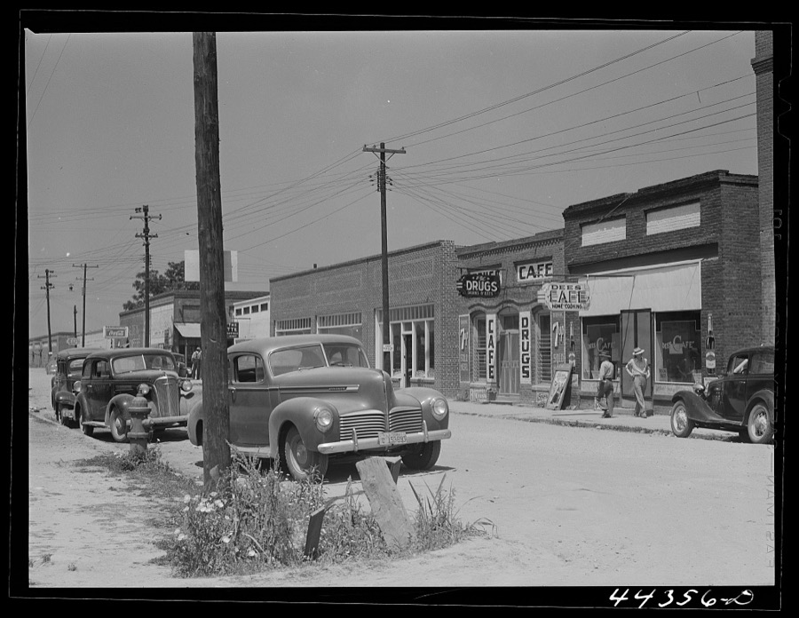
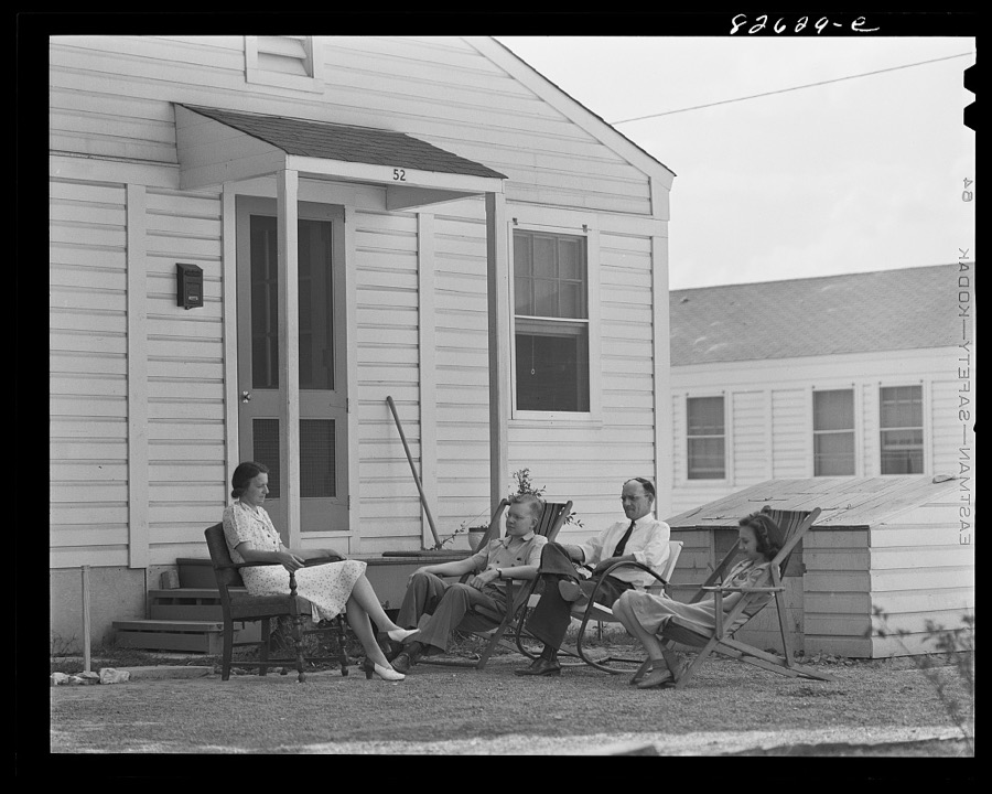
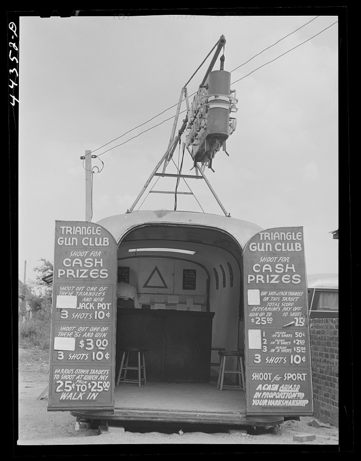
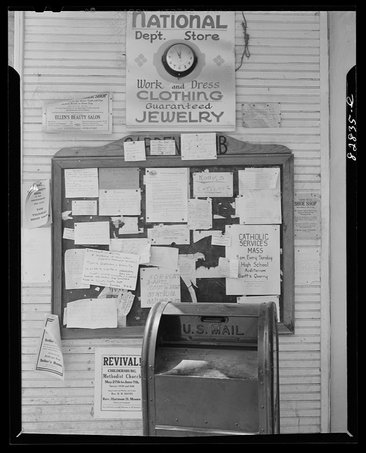
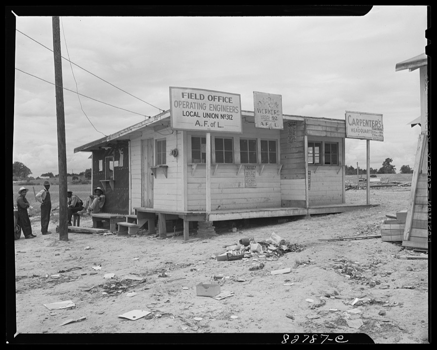
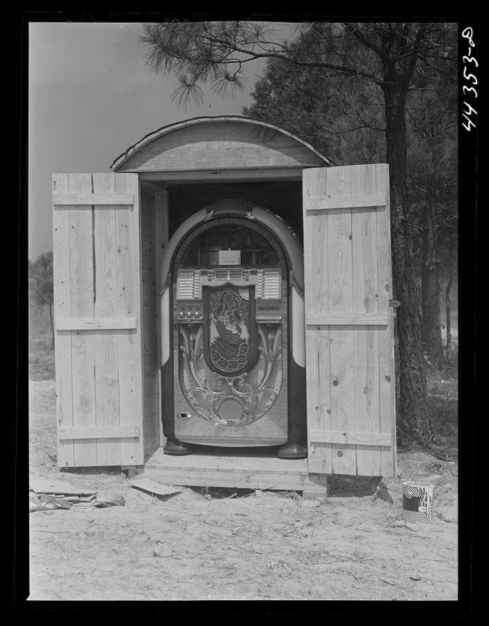
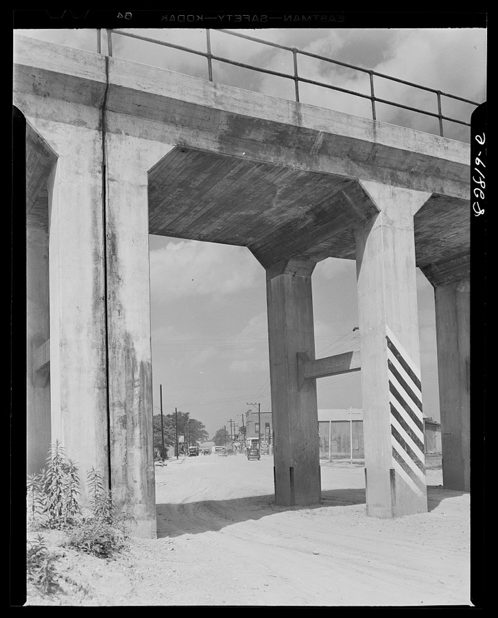
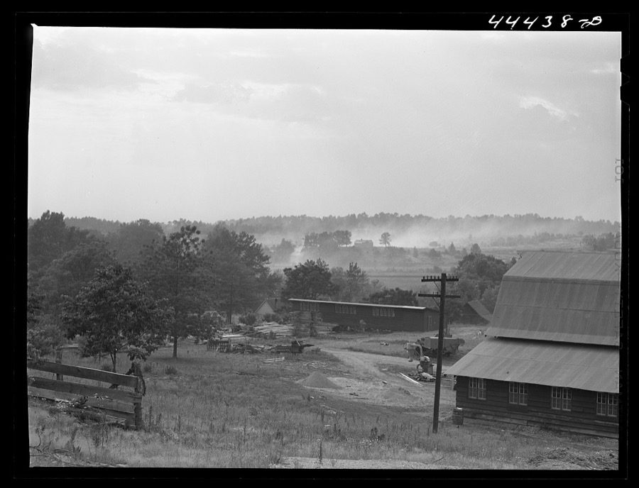

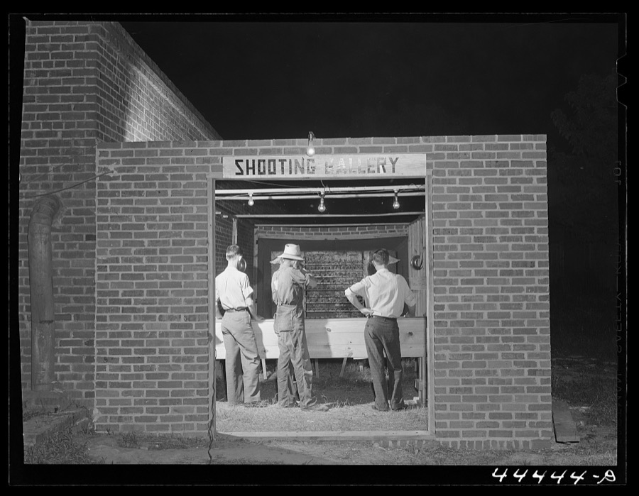
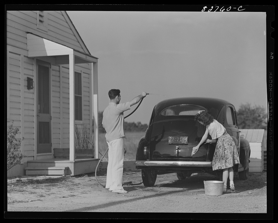

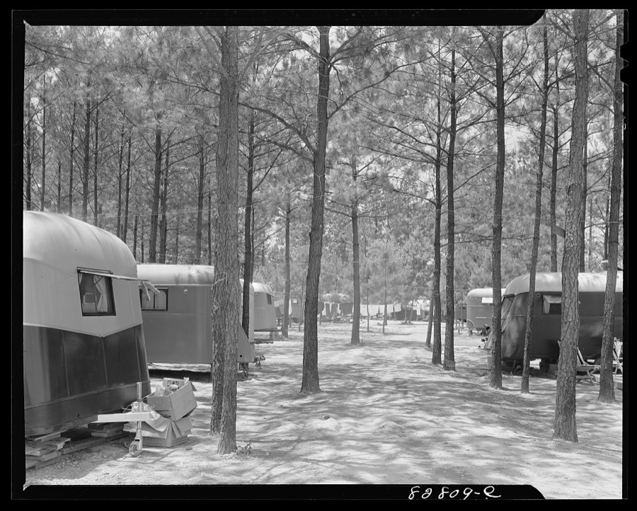

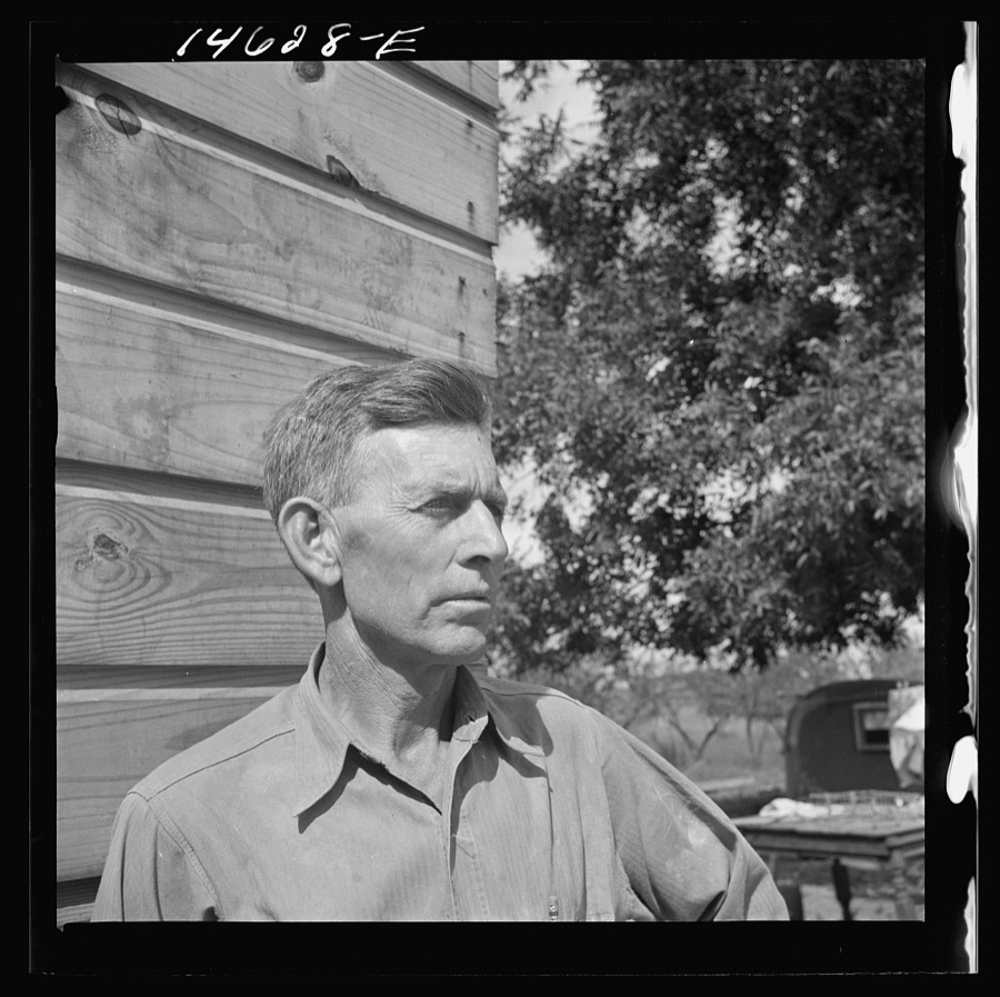
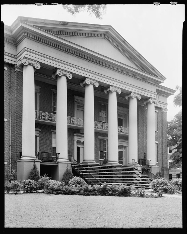
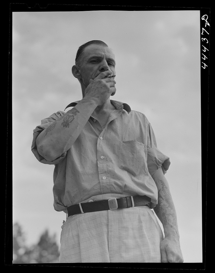

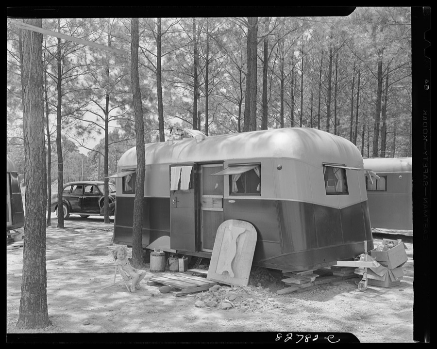
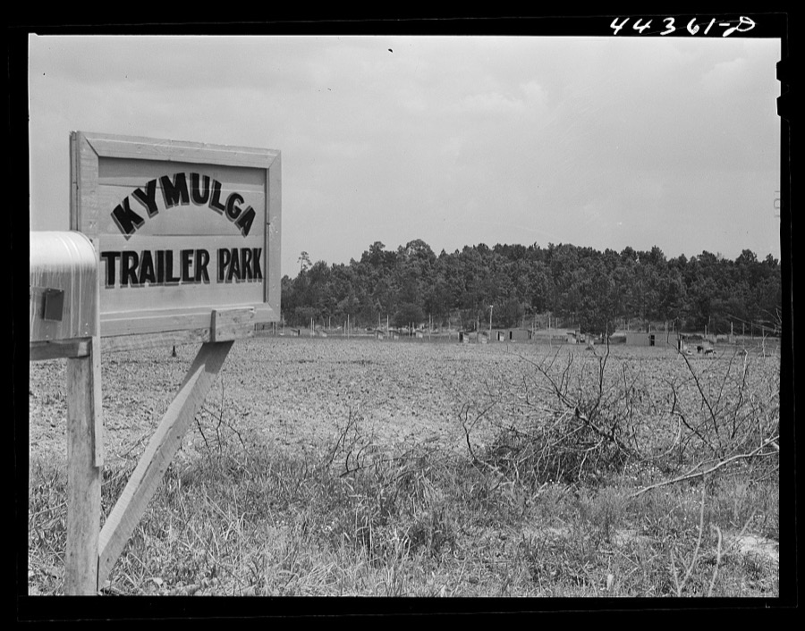
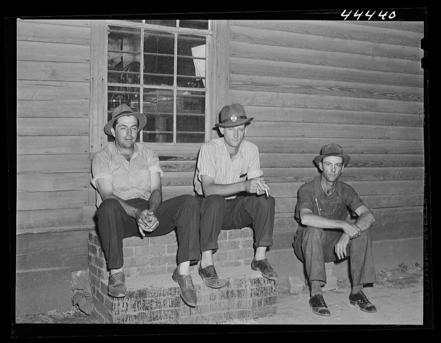


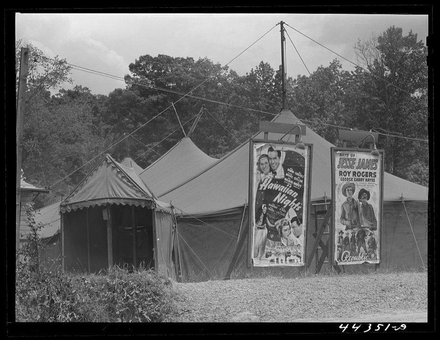
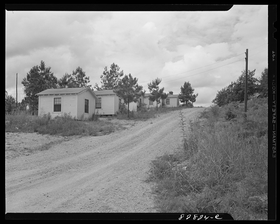

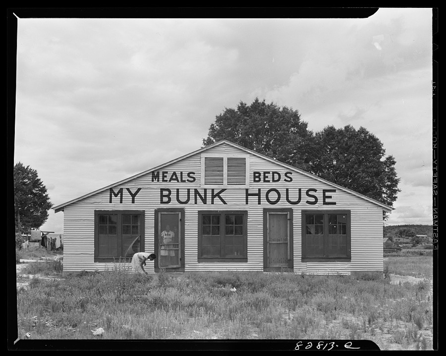
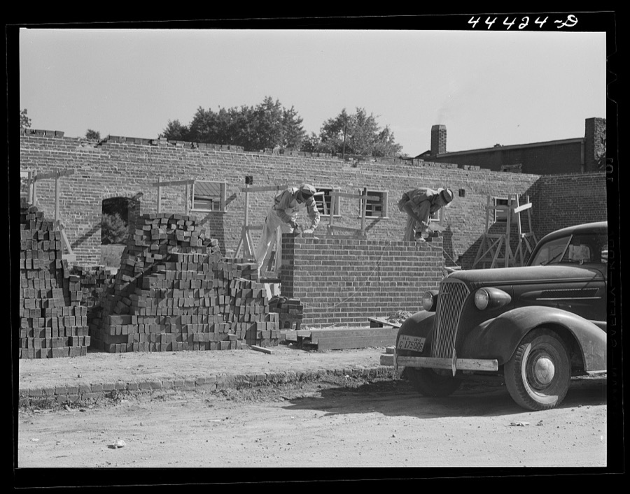

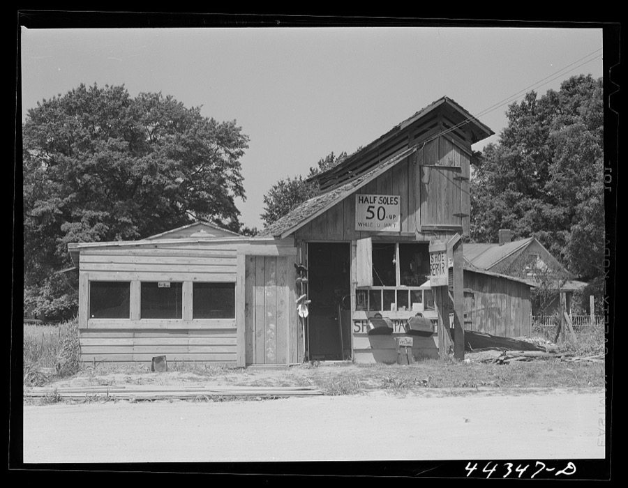
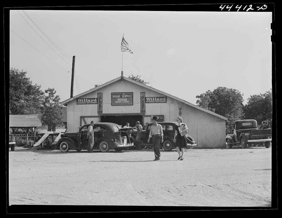
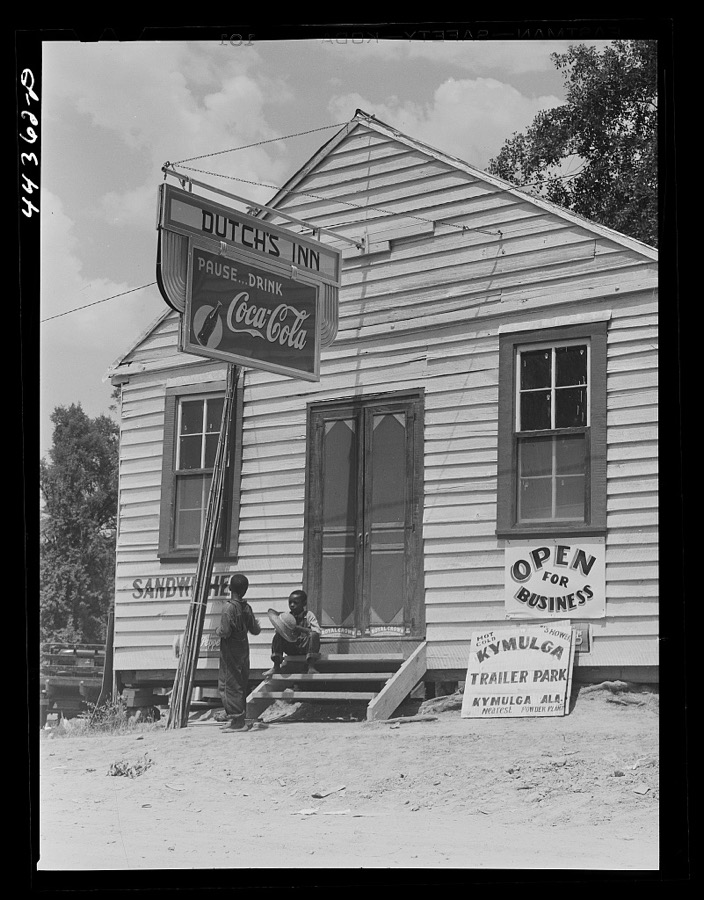
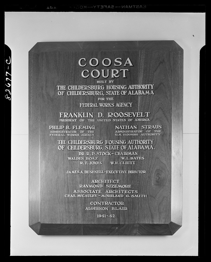
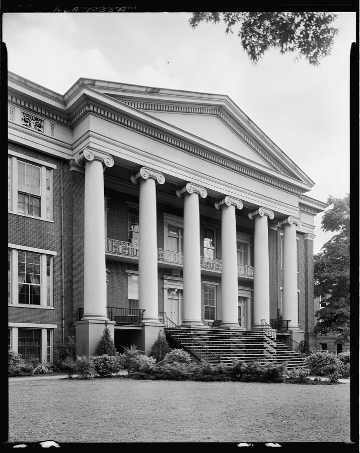
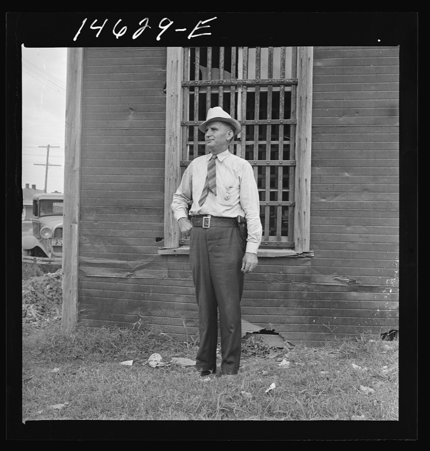


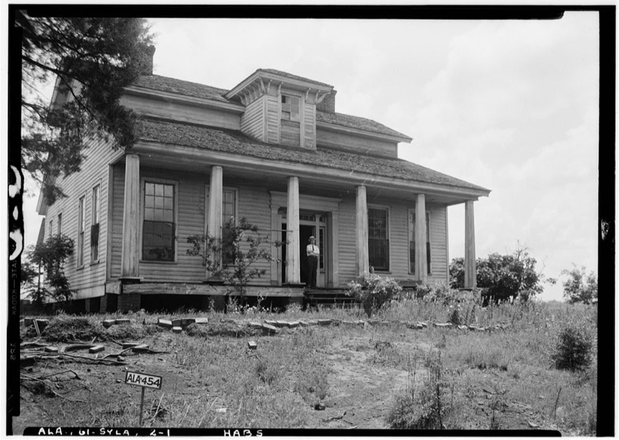
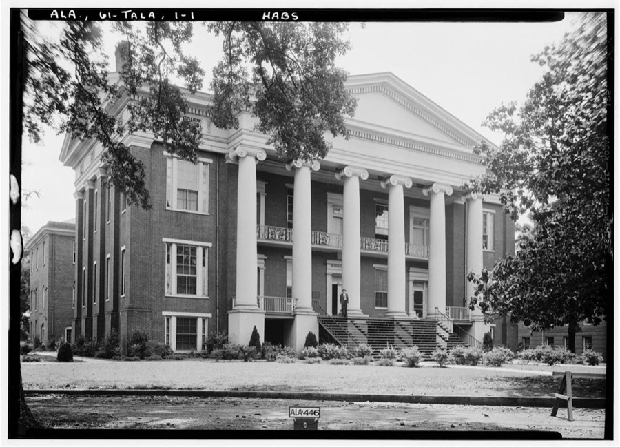
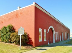
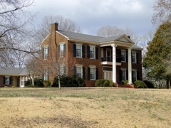
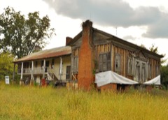
Every property in this county listed on the National Register of Historic Places, with the year it was listed and the federal nomination document.
Talladega County has 1 covered bridge on the National Register. Each is a listed structure with a federal nomination on file.
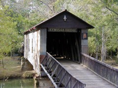 | Kymulga Mill And Covered Bridge | Listed 1976 |
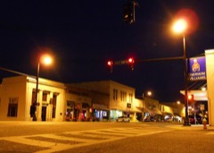
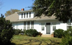
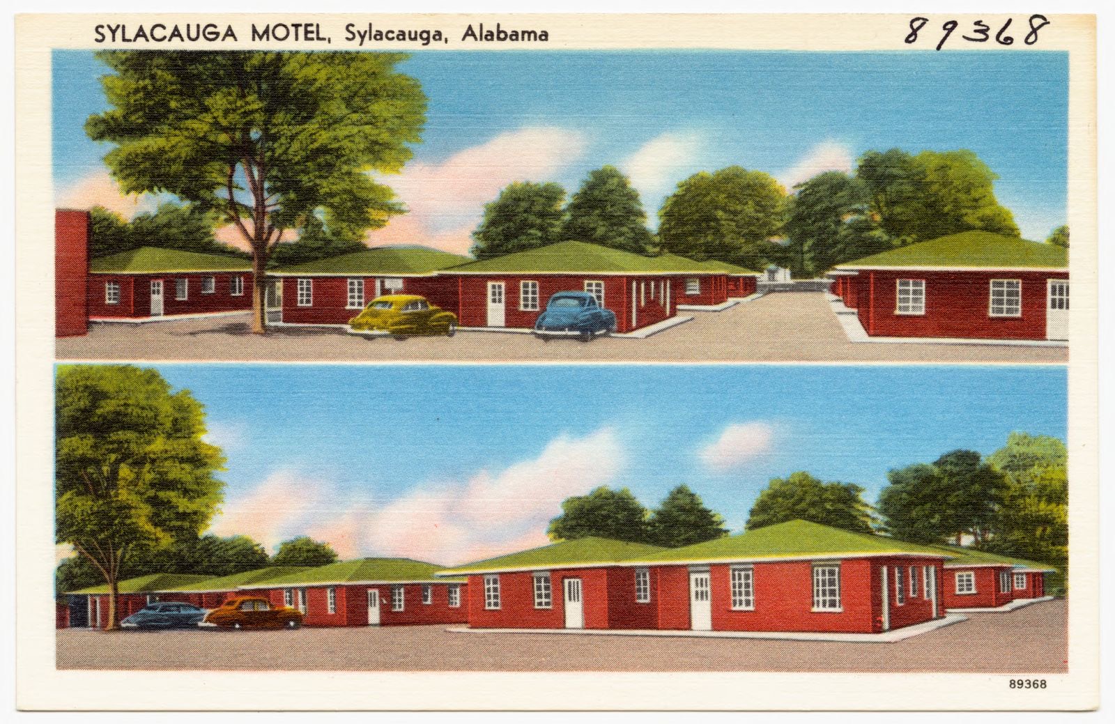
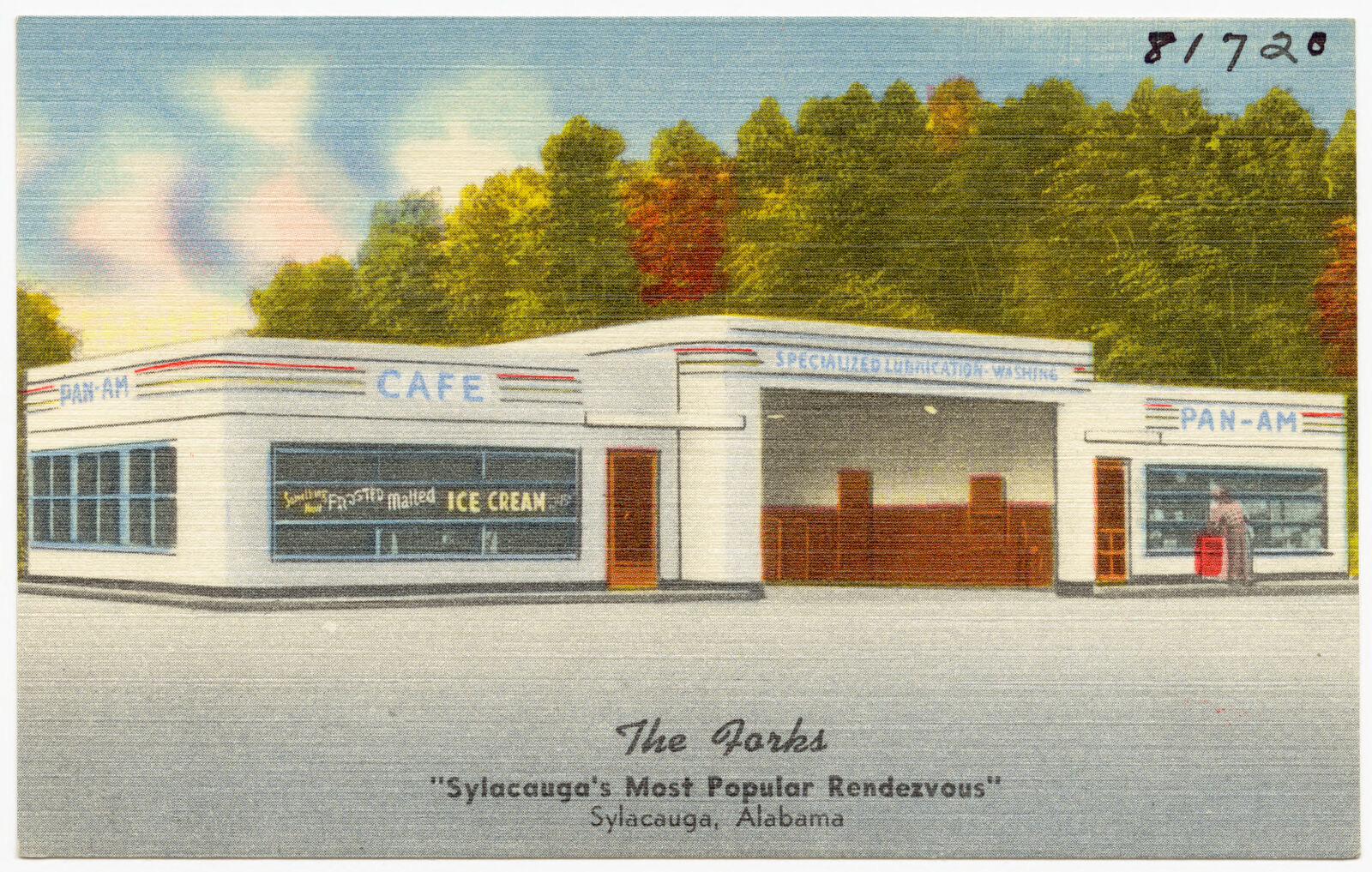
Selected from the Digital Public Library of America's 2 image records catalogued for this county. Every one shown here carries a public-domain status or a licence that permits reuse on a site that carries advertising; non-commercial, share-alike and restricted images are excluded. The selection is spread across the county's towns (at most eight per town), so no single institution's bulk upload crowds out the rest. Each opens the holding library's record, and the complete set at the Digital Public Library of America is one click away.
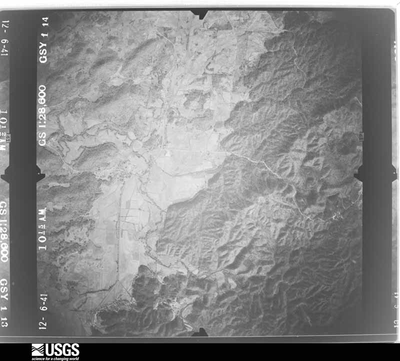
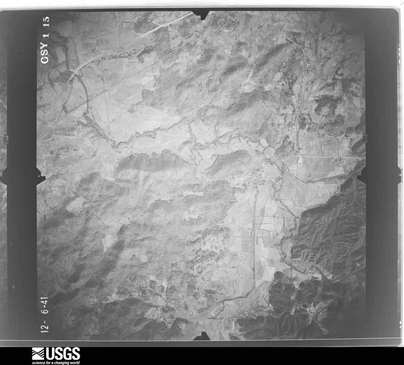
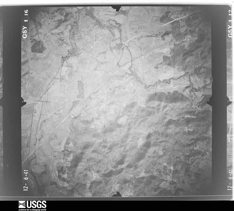
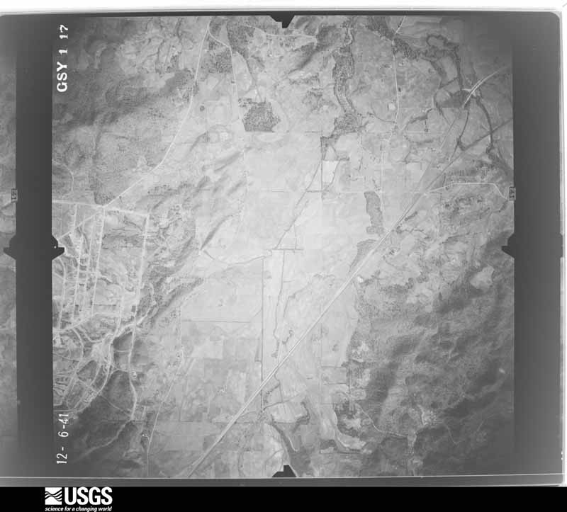
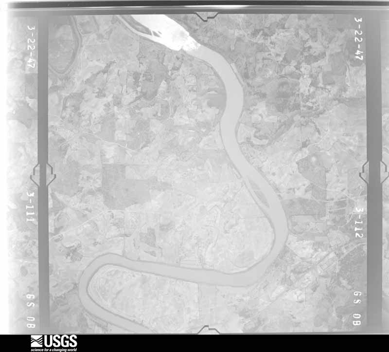
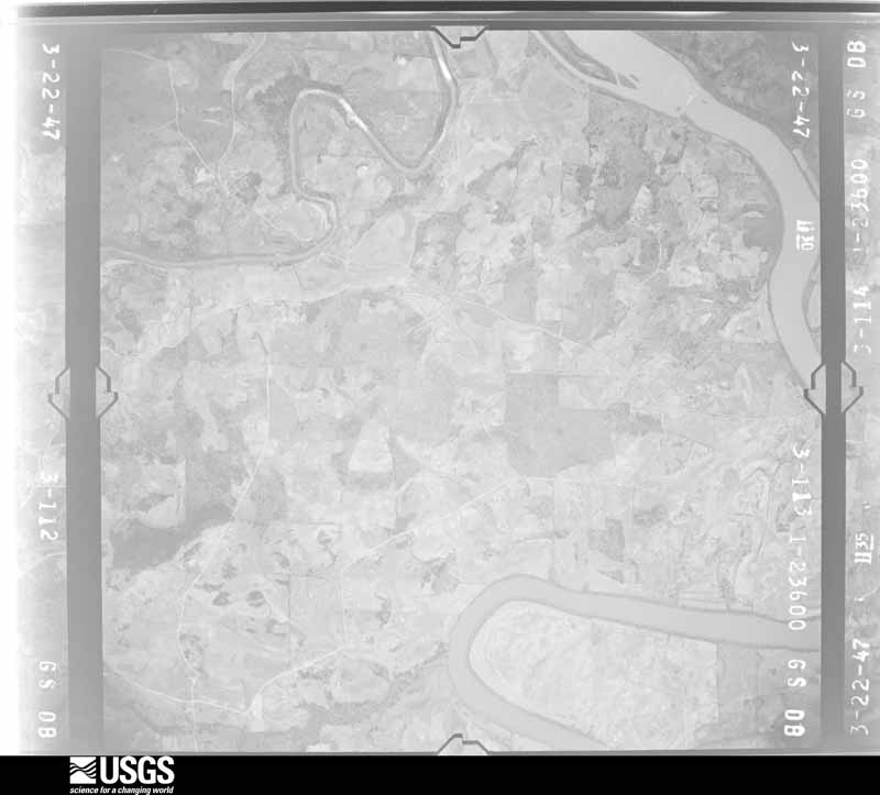
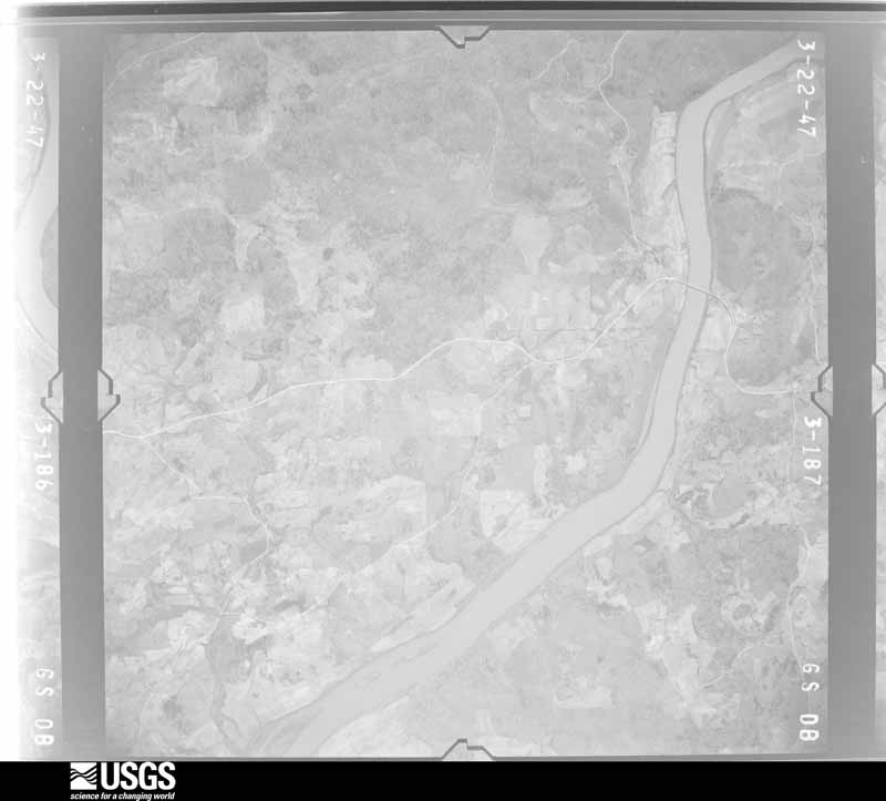
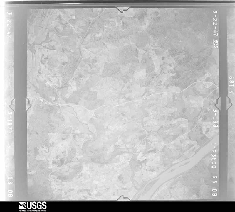
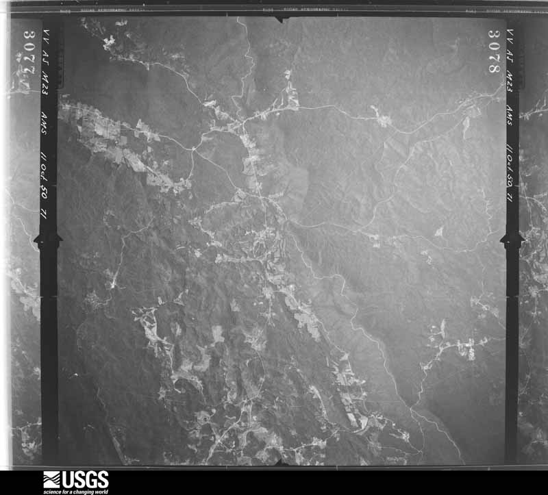
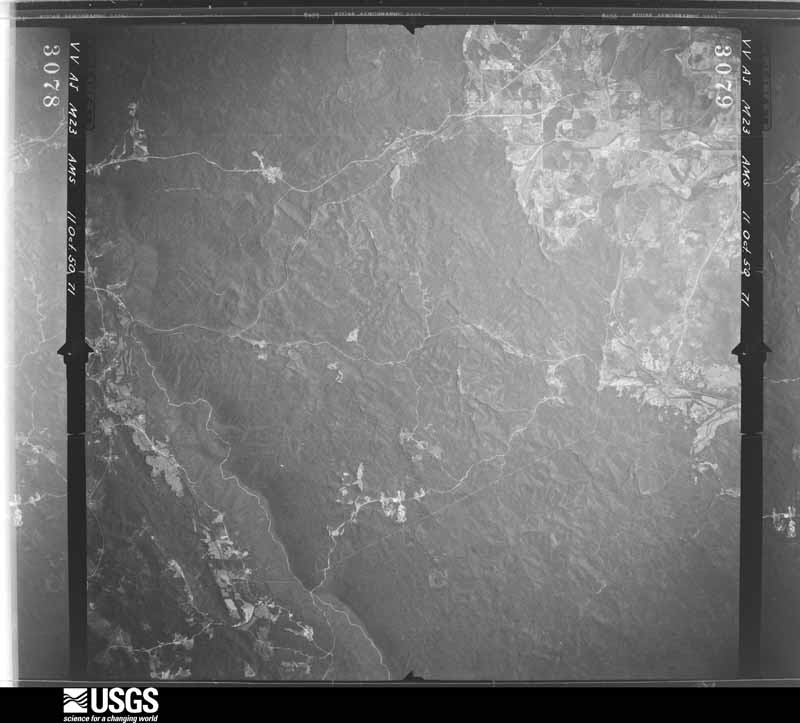
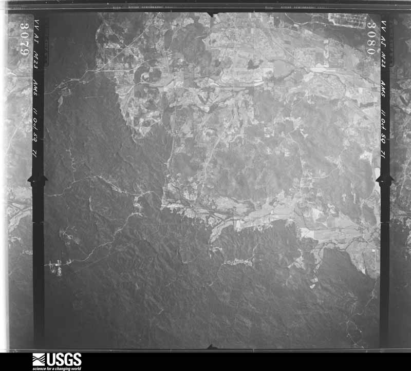
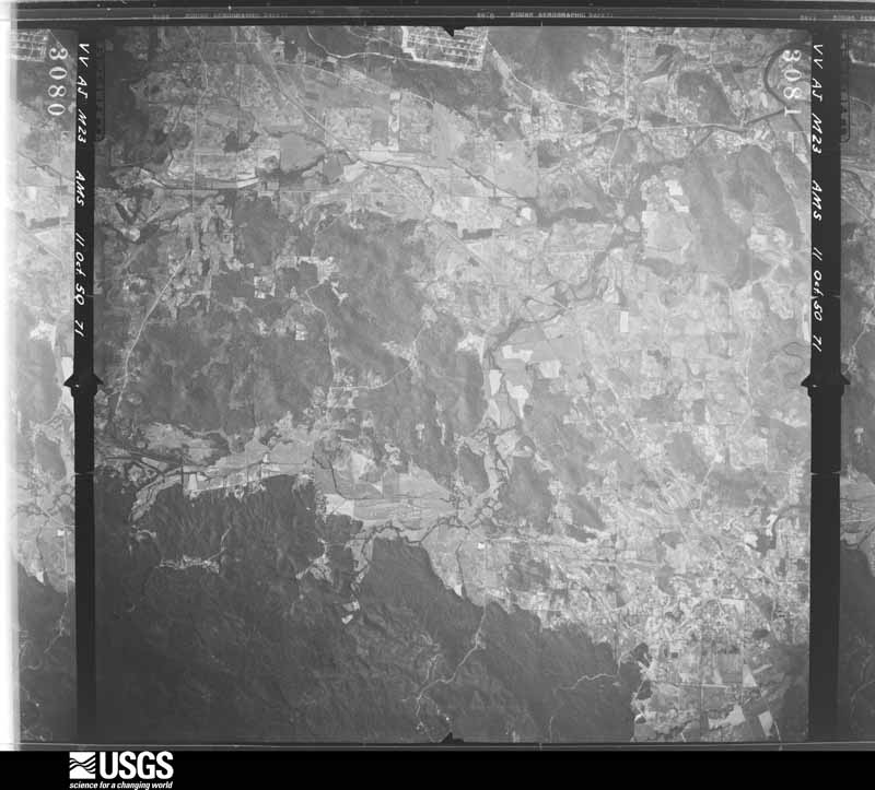
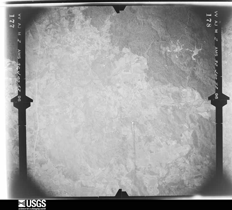
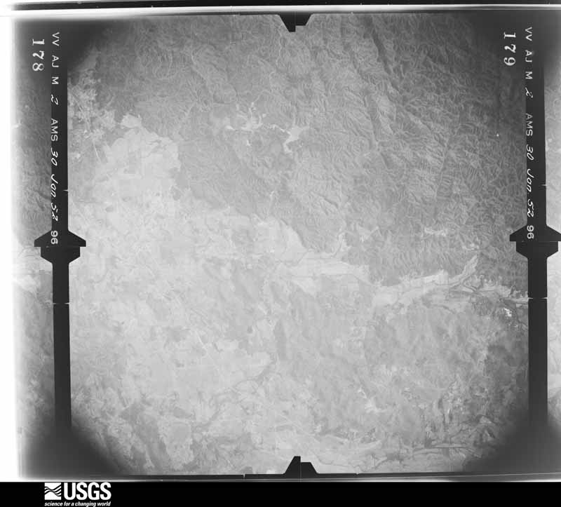
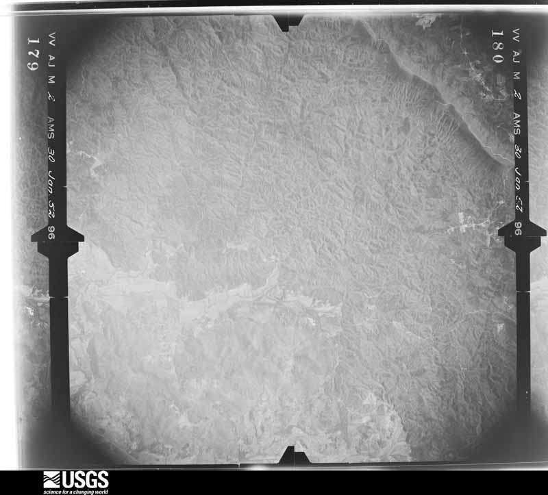
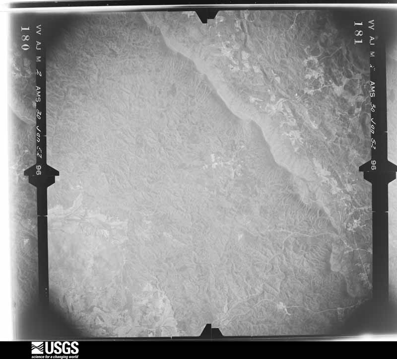
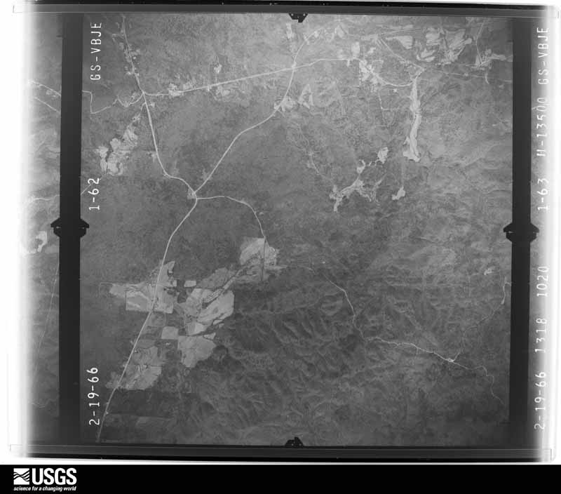
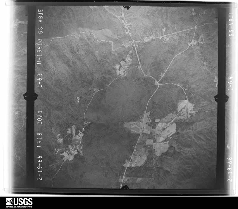
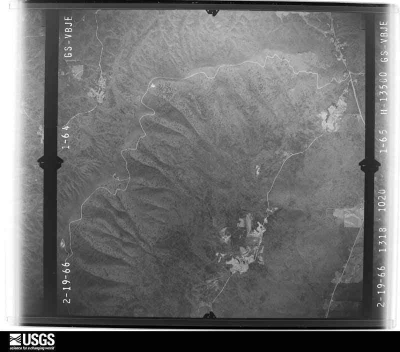
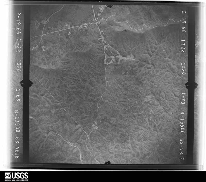
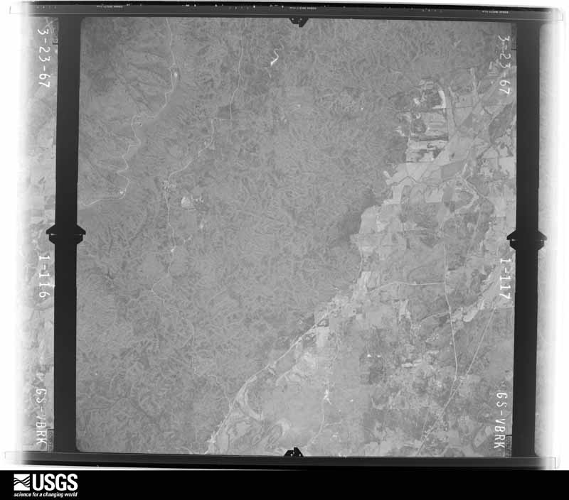
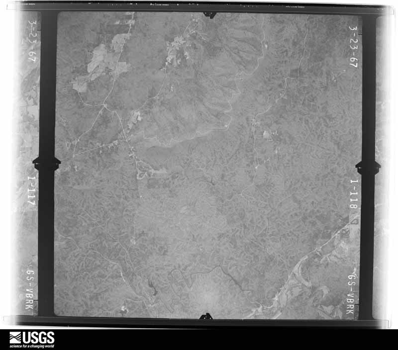
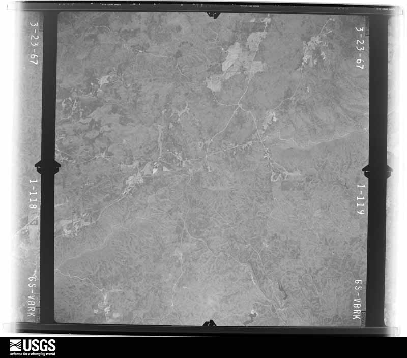
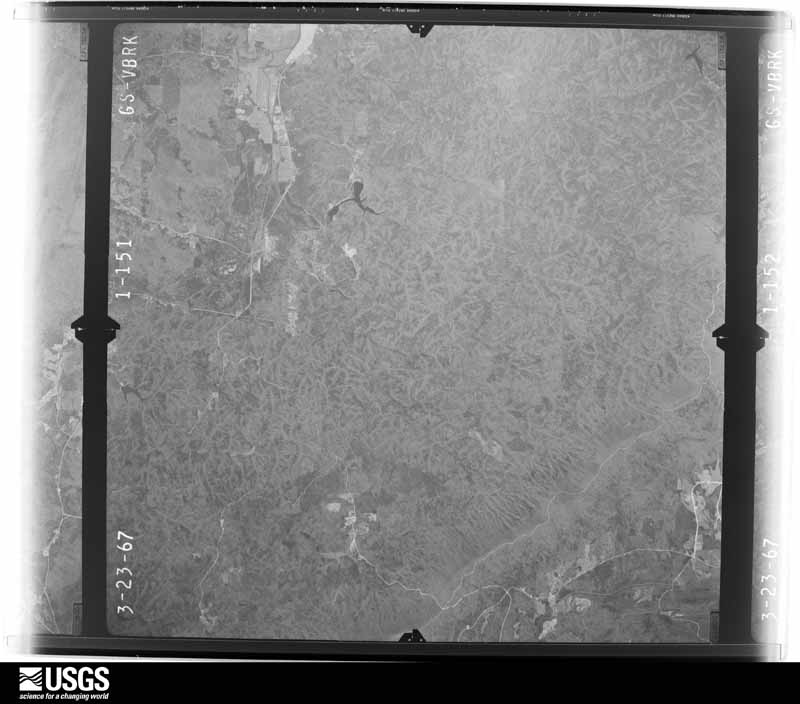
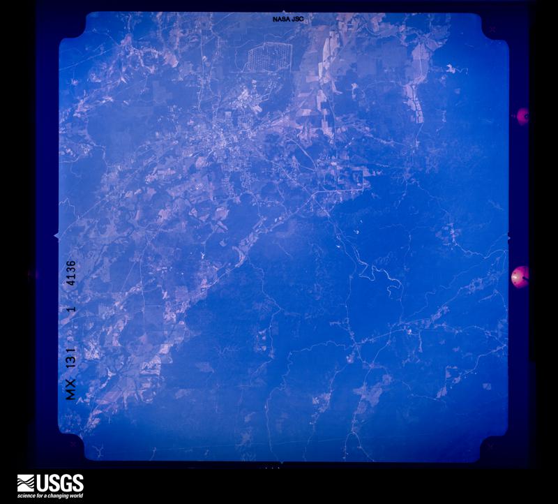
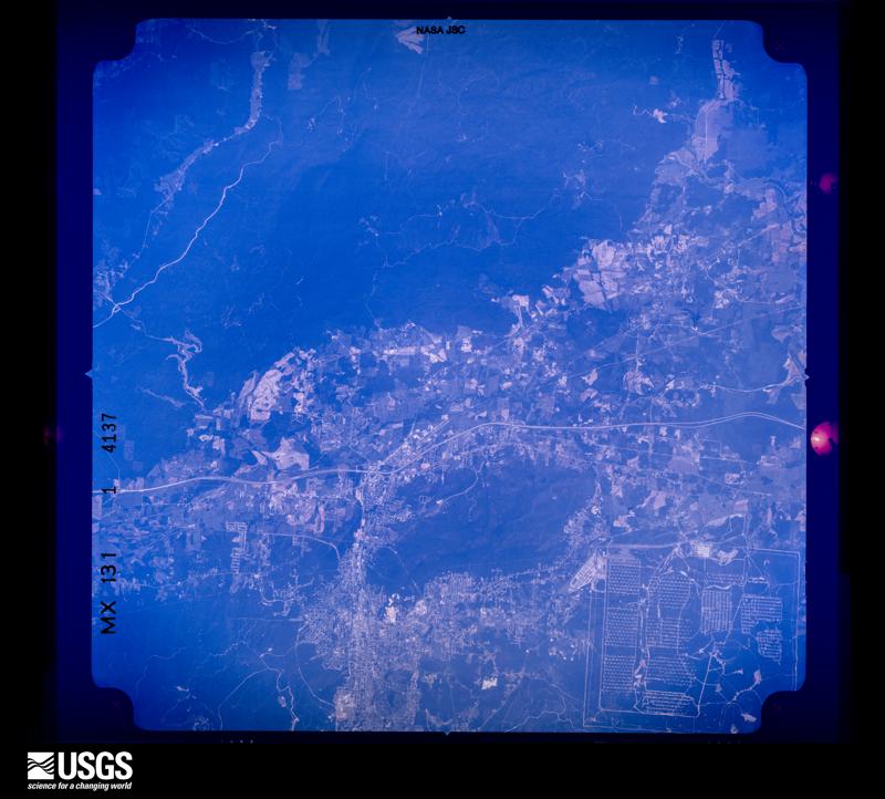
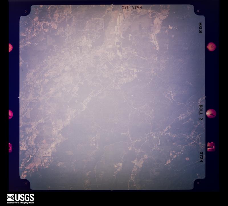
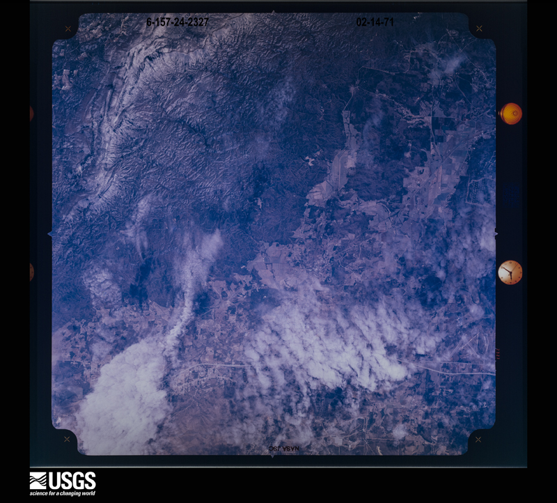
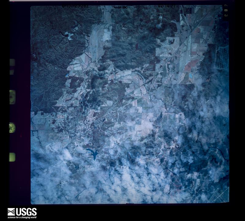
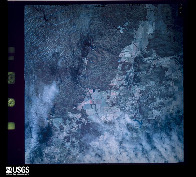
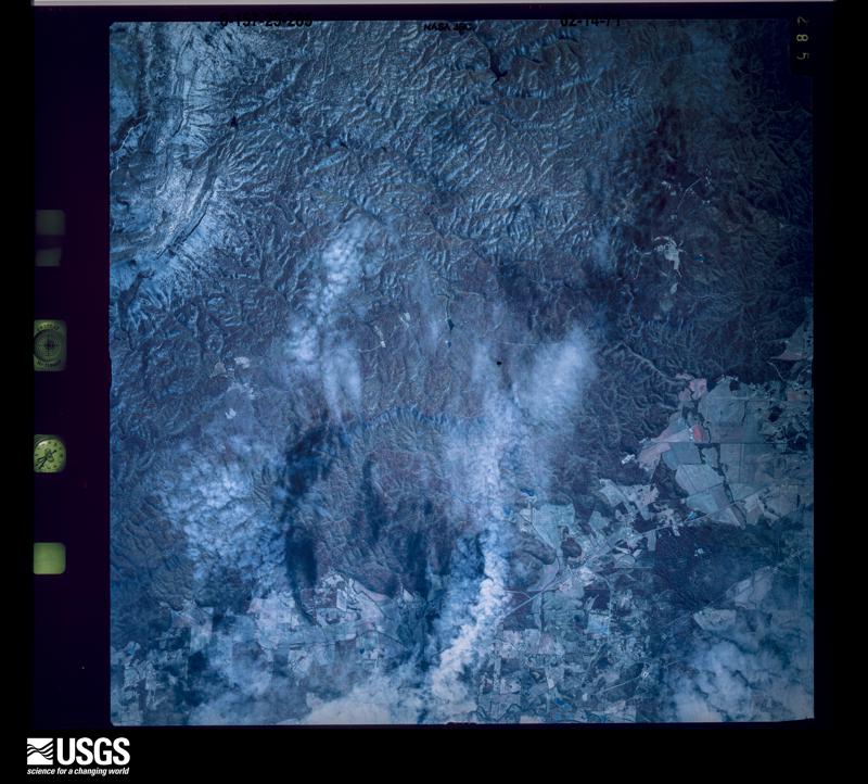
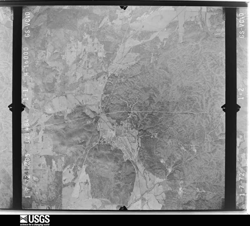
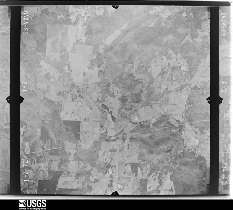
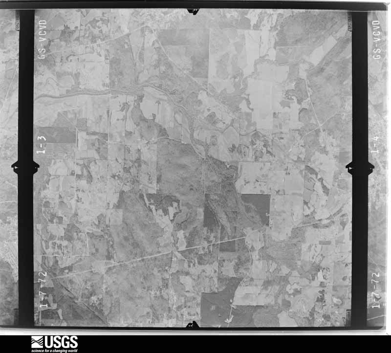
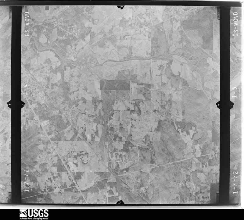
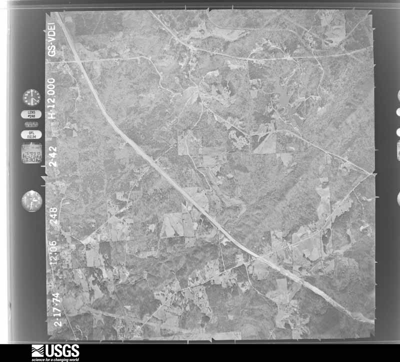
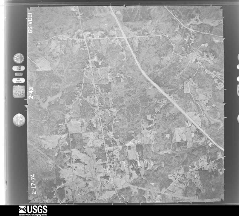
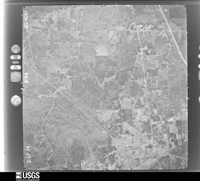
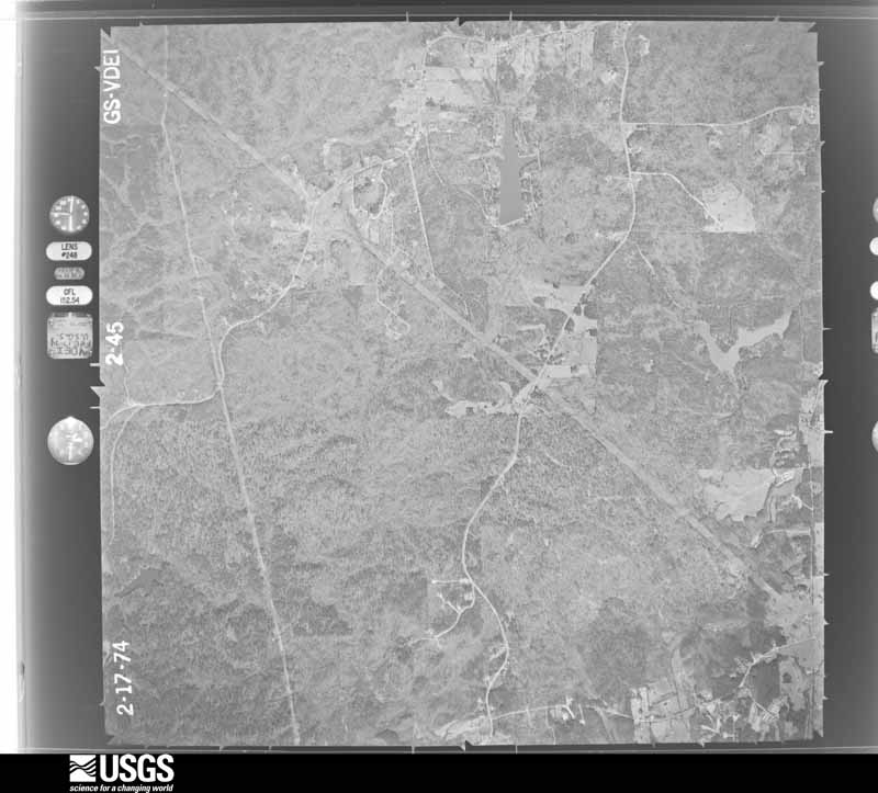
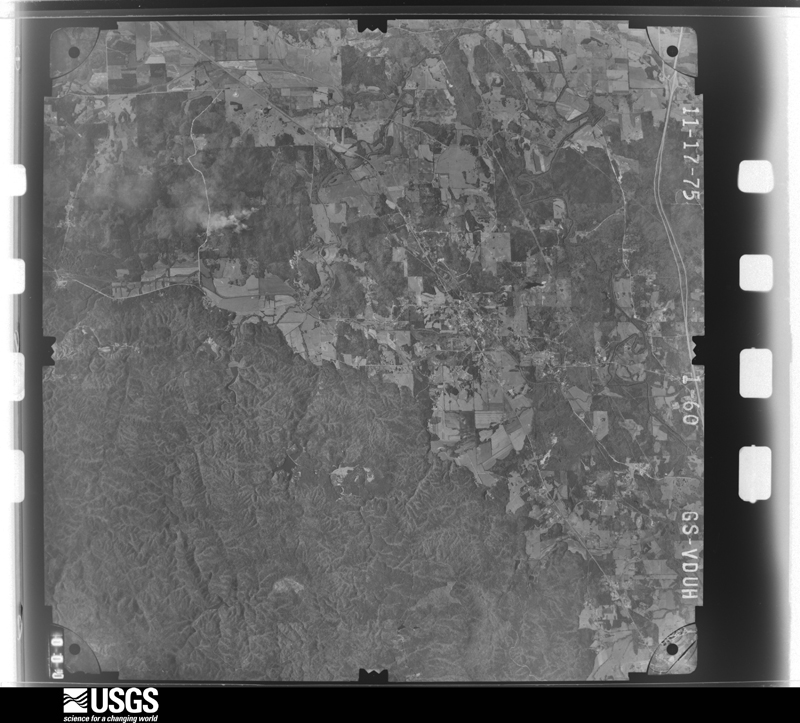
Flown by the U.S. Geological Survey between 1937 and 1989, the Aerial Photo Single Frames collection is the definitive mid-century view of the land: fields, roads and rivers as the camera saw them. The Survey holds 2,170 frames inside the rectangle that bounds this county; the 48 frames below were taken over the county itself, chosen across the decades of flights (at most four a year from that rectangle), so one flight cannot crowd out the rest. The full set is free to browse and download at EarthExplorer under the dataset Aerial Photo Single Frames.
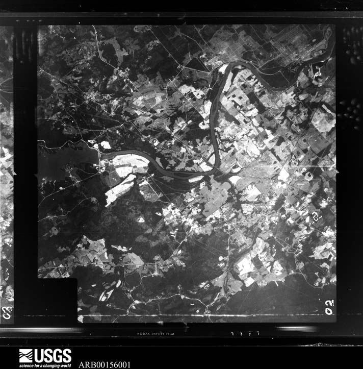
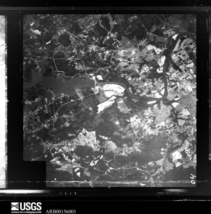
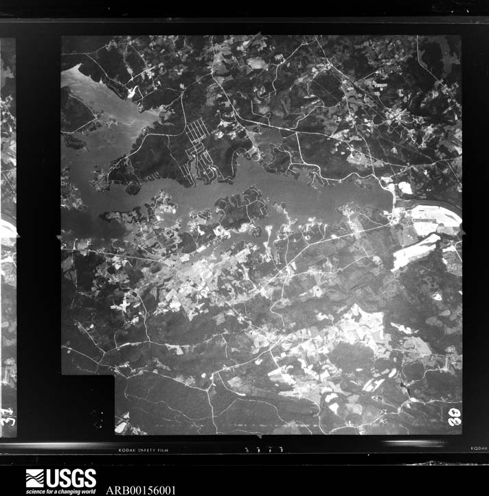
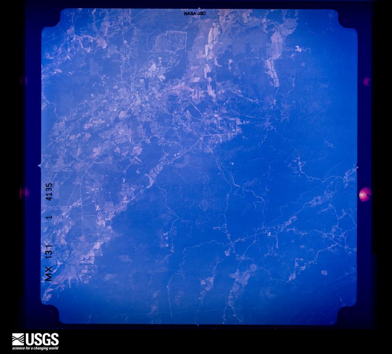




The thermometers that kept this county's weather, and the gages that measured the flow of its streams, as the federal records hold them. The extremes below are measured values from those records, not estimates.
Who lived here in 1950, one enumeration district at a time, as the Census Bureau described each district. Each row opens its official National Archives result, with Population Schedules and ED Maps available there.
Every wildfire the federal occurrence database records inside this county: 3,065 of them, burning about 42,318 acres. 56 started naturally and 1,050 were recorded as arson. Each settlement page carries the fires within five miles of it.
| Reported cause | Fires |
|---|---|
| Debris and open burning | 1074 |
| Arson/incendiarism | 1050 |
| Missing data/not specified/undetermined | 395 |
| Recreation and ceremony | 232 |
| Railroad operations and maintenance | 89 |
| Equipment and vehicle use | 87 |
| Natural | 56 |
| Misuse of fire by a minor | 41 |
| Smoking | 25 |
| Other causes | 10 |
| Fireworks | 3 |
| Power generation/transmission/distribution | 3 |
The five largest, by the area the report gives. 6 of them were set deliberately.
| Date | Cause | Size | Reported by | Name on the report |
|---|---|---|---|---|
| 17 September 2019 | Missing data/not specified/undetermined | 470 acres | Alabama Forestry Commission | 20190917-4 |
| 24 March 2004 | Arson/incendiarism | 412 acres | Alabama Forestry Commission | RISERS MILL ROAD |
| 12 December 2015 | Arson/incendiarism | 395 acres | National Forests in Alabama | LAKE VIRGINIA |
| 28 January 2005 | Arson/incendiarism | 363 acres | National Forests in Alabama | FOGHORN LEGHORN |
| 1 March 2000 | Arson/incendiarism | 355 acres | Alabama Forestry Commission | not named |
| 6 February 2001 | Arson/incendiarism | 347 acres | Alabama Forestry Commission | not named |
| 27 May 2002 | Arson/incendiarism | 290 acres | Alabama Forestry Commission | not named |
| 6 April 2006 | Missing data/not specified/undetermined | 271 acres | National Forests in Alabama | BIG JOHN |
Every settlement page carries the fires within five miles of it - see the settlement index below.
The NOAA Storm Events Database holds 519 reports for this county, causing 7 deaths, 109 injuries and about $34,822,500 in recorded property damage. Each settlement page carries the reports that name it.
| Kind of event | Reports |
|---|---|
| Thunderstorm Wind | 287 |
| Hail | 144 |
| Tornado | 35 |
| Flash Flood | 32 |
| Flood | 6 |
| Funnel Cloud | 5 |
| Lightning | 5 |
| Heavy Rain | 5 |
The most serious of them, by death, then injury, then recorded damage. The accounts are quoted exactly as the forecast office filed them.
| When | Event | Place named | Harm | What the report says |
|---|---|---|---|---|
| March 1991 | Tornado (F1) | not stated | 5 killed, 13 hurt, $250,000 | no account filed |
| March 2025 | Tornado (EF2) | Winterboro | 1 killed, 1 hurt | National Weather Service Meteorologists surveyed damage in the|town of Winterboro and just to the northeast and determined that|the damage was consistent with a tornado. The tornado touched|down just to the southwest of Winterboro High School, damaging|the football press box and surrounding baseball and softball|fields. The tornado quickly intensified as it reached the Old|Winterboro High School building, lifting a school bus onto the|side of the gymnasium. The gymnasium sustained significant|damage, with walls mostly collapsed on more than one side. Winds|were estimated to be around 120 mph at this location, where|wooden power poles were also snapped. Debris from the collapsed|gymnasium was blown across State Highway 76, and the old school|building also sustained roof damage. The tornado continued to the|northeast, where numerous trees were snapped and uprooted and|homes sustained damage due to falling trees at the intersection|of Highway 76 and 21. As the tornado moved parallel to Bob White|Road, it maintained EF-2 intensity along the roadway and|destroyed a single-wide manufactured home. The debris from the|home was blown westward across Bob White Road. One fatality|occurred at this location. Outside of the peak intensity of the|tornado, some homes and farm outbuildings sustained roof damage|on the far eastern edge of the path on Bob White Road. The|tornado continued northeastward, weakening as it crossed Bullocks|Ferry Road and finally lifting just to the northeast of Whiting|Road and Lawler Circle. The tornado totaled 3.63 miles and had an|estimated width of 500 yards. |
| June 1994 | Thunderstorm Wind | Lincoln | 1 killed, $500,000 | Numerous large trees were downed by thunderstorm wind in the northern section of the county near Lincoln. One tree fell on a truck resulting in one fatality. Large hail was also reported with the storm which came up rapidly and lasted only a brief time according to EMA officials. |
| February 1990 | Thunderstorm Wind | not stated | 26 hurt | no account filed |
| May 1973 | Tornado (F4) | not stated | 17 hurt, $25,000,000 | no account filed |
| November 2001 | Tornado (F2) | Sylacauga | 15 hurt, $800,000 | The F2 tornado began at 3:42 pm near the intersection of Forest Glen Rd. and Odens Mill Rd., in the Oak Grove Community. It traveled northeast crossing US 280 and ended at 3:45 pm near Shirtee Creek in the Odena Community. The Red Cross and the local Emergency Management Agency estimate that 15 people were injured, two critically. Forty to 50 homes were damaged with 7 of the homes sustaining significant damage. Ten mobile homes were totally destroyed. Several outbuildings and sheds were destroyed and numerous trees were blown down or uprooted along the entire path. The tornado path was 3.1 miles long and 400 yards wide at its widest point. Beg: 33 10.930/86 18.818 End: 33 12.502/86 16.176 |
| May 1984 | Thunderstorm Wind | not stated | 12 hurt | no account filed |
| March 1980 | Tornado (F2) | not stated | 6 hurt, $250,000 | no account filed |
| April 1985 | Tornado (F2) | not stated | 5 hurt, $250,000 | no account filed |
| April 1963 | Tornado (F2) | not stated | 4 hurt, $25,000 | no account filed |
| March 1989 | Tornado (F2) | not stated | 2 hurt, $2,500,000 | no account filed |
| September 1960 | Tornado (F2) | not stated | 2 hurt, $250,000 | no account filed |
| March 1996 | Flash Flood | Northern Portion | 1 hurt, $45,000 | no account filed |
| December 1973 | Tornado (F2) | not stated | 1 hurt, $25,000 | no account filed |
| April 1964 | Tornado (F3) | not stated | 1 hurt, $25,000 | no account filed |
| May 1995 | Tornado (F0) | Lincoln | 1 hurt, $10,000 | A weak tornado occurred in northern Talladega County about two miles northeast of Lincoln. The tornado downed numerous trees, and several structures sustained minor damage. One person was injured when she was lifted into the air and dropped while trying to reach her storm shelter. Numerous people reported seeing a funnel cloud at the time. |
| June 2009 | Thunderstorm Wind | Lincoln | 1 hurt, $3,000 | Several trees were blown down in Lincoln. The glass was blown out of a window of a mobile home, injuring the occupant. |
| July 2015 | Thunderstorm Wind | Sylacauga Merkle Arp | 1 hurt | Several trees uprooted and power lines downed near the intersection of Old Birmingham Highway and Gantts Junction Road. One tree fell on mobile home with one minor injury. |
| April 2011 | Tornado (EF1) | Coosa Pines | $1,000,000 | A tornado initially touched down in far eastern Shelby County, south of Vincent, and tracked north northeast into western Talladega County. The tornado crossed the Coosa River, west of Laniers. The tornado moved northeast and caused tree damage on the east side of Logan Martin Dam and through residential neighborhoods along the southeastern edge of Logan Martin Lake. Several homes were damaged due to fallen trees. Damage was consistent with an EF1 rating and winds of 105 mph. The tornado lifted near the lake edge, along Lakeview Circle. |
| March 2010 | Flood | Childersburg | $500,000 | What began as flash flooding transitioned into widespread long term flooding across a large portion of Talladega County during the late morning of the 10th. Dozens of roads were closed across the county due to high water, and several small bridges became washed out. The initial problem area on the morning of the 10th was the city of Sylacauga, but as the heavy rainfall shifted northward in the afternoon, the cities of Talladega and eventually Munford also experienced flooding issues. Other communities with reports of flooding included Childersburg, Winterboro, and Renfroe. |
| May 2003 | Flash Flood | Countywide | $300,000 | Very heavy rainfall in a short period of time caused extensive flooding across Talladega County. Flooding occurred in most every location from near Lincoln to near Sylacauga. Numerous roads countywide were closed for several hours. At the height of the storms, approximately 5000 customers were without power. Talladega Creek overflowed its banks and destroyed several mobile homes. The flash flooding episode eventually transitioned into a river flood event that lasted a few weeks. |
| June 2010 | Thunderstorm Wind | Talladega | $250,000 | An apparent downburst caused an swath of intense damage across the southern portion of the city of Talladega. Around 100 trees were blown down, with some of them falling onto homes causing varying degrees of damage. In addition, hundreds of limbs were broken off, many of them also large enough to cause damage to homes as they fell. Structural damage not the result of falling trees or limbs was confined to outbuildings containing lumber at a hardware store. The total damage swath was more than 2.5 miles long, and up to 100 yards wide, with peak wind gusts estimated around 80 mph. |
| May 1984 | Tornado (F2) | not stated | $250,000 | no account filed |
| November 2001 | Tornado (F2) | Winterboro | $230,000 | The same thunderstorm that spawned the Sylacauga tornado produced another tornado in eastern Talladega County. This tornado was also rated an F2 on the Fujita scale and began at 3:59 pm 4 miles southeast of Winterboro in the Talladega National Forest. The tornado tracked northeast across Germany Mountain and ended at 4:09 pm, 1 mile southeast of Waldo. Several homes were damaged on Germany Mountain with one receiving significant damage. At least 6 mobile homes were totally destroyed and several outbuildings and barns were destroyed. Several trees were blown down or snapped off along the path. No injuries were reported. Beg: 33 17.453/86 08.146 End: 33 22.351/86 00.750 |
| November 2004 | Tornado (F2) | Lincoln | $125,000 | no account filed |
| February 2008 | Thunderstorm Wind | Lincoln | $100,000 | Widespread wind damage was reported across the northern portion of Talladega County, from near Lincoln eastward to Munford, and as far south as the city of Talladega. Damage consisted mostly of trees and power lines that were blown down, some of which fell onto structures. One mobile home had its roof peeled off in the Bemiston Community. |
| August 2000 | Thunderstorm Wind | Countywide | $100,000 | Numerous trees and power lines were blown across the entire county. Several trees landed on homes and automobiles while many others blocked roadways. Thousands of customers were without power for several hours. The hardest hit areas were Childersburg and Sylacauga. No injuries were reported. |
| November 2004 | Tornado (F1) | Childersburg | $80,000 | no account filed |
| May 2003 | Thunderstorm Wind | Lincoln | $78,000 | Numerous trees were blown down in Lincoln near Interstate 20 and mile marker 169. A few of the trees temporarily blocked roadways. One mobile home was destroyed. One home was destroyed. Several barns and outbuildings were damaged. Several funnel clouds were also reported across northern Talladega County at this time. |
| August 2001 | Tornado (F1) | Lincoln | $75,000 | A small tornado touched down in a wooded area just southwest of exit 165 on Interestate 20. The tornado moved northeast moving across three structures on the south side of the Interstate, two of the structures suffered extensive damage. The tornado moved across CR 207 where several trees were downed and a small portion of the roof of an unoccupied building was damaged. It crossed two mobile home parks, downing trees, ripping pieces of siding from several mobile homes, and pushing one off it's foundation. It crossed US 78 where another mobile home had some siding ripped away from it. It moved through an open area that was inaccessible and then damaged several trees on the north side of the town of Lincoln. No additional damage was found beyond that point. The weak tornado came out of a bowing echo that also caused some damage mainly to trees in Calhoun County. Beginning: 33 35.333N 86 10.056W Ending: 33 37.564N 86 07.641W |
| July 1999 | Thunderstorm Wind | Talladega | $75,000 | Two large mobile homes were ripped in half when damaging winds moved along SR 21 in Talladega. A large tent was blown over damaging four automobiles. A few vehicles were also blown off the road while moving. No injuries were reported. |
| March 2002 | Hail | Childersburg | $75,000 | no account filed |
| July 2000 | Thunderstorm Wind | Countywide | $70,000 | Numerous trees and power lines were knocked down across the county. Several trees fell onto homes, businesses, and vehicles. There were no reports of any injuries. |
| November 2004 | Tornado (F0) | Lincoln | $60,000 | no account filed |
| July 2003 | Flash Flood | Countywide | $60,000 | no account filed |
| July 2008 | Lightning | Rahatchie | $50,000 | A house and barn caught fire after being struck by lightning. |
| November 2004 | Tornado (F0) | Winterboro | $50,000 | no account filed |
| November 2004 | Tornado (F0) | Talladega | $50,000 | no account filed |
| May 2003 | Thunderstorm Wind | Countywide | $45,000 | no account filed |
| October 2007 | Thunderstorm Wind | Winterboro | $35,000 | A downburst, with winds estimated around 80 mph, caused the roof of an old radiator shop building to collapse. Several trees in the same area were also blown down. |
| April 1996 | Thunderstorm Wind | Lincoln | $35,000 | no account filed |
| May 2009 | Thunderstorm Wind | Sylacauga | $30,000 | Numerous trees were blown down and uprooted around Sylacauga. The volunteer fire department suffered roof damage. A few homes and mobile homes were damaged by the fallen trees. |
| April 2006 | Tornado (F0) | Childersburg | $30,000 | The tornado touched down near Edgewater Drive and the Coosa River, just east of the Morgan Bridge on US 231/280. It then tracked southeastward through the Pinewood Terrace Community and dissipated near 4th Avenue NE. Many trees were either snapped off or uprooted along the path. A few of the fallen trees landed on homes and automobiles. The most damage occurred in the Lakeside and Bates Subdivisions near State Highway 235. |
| March 2011 | Flood | Kymulga | $25,000 | What began as flash flooding, resulted in long term flooding across a part of Talladega County during the morning of May 9th. Several Roads were closed in the southern part of the County, with the hardest hit areas being Childersburg and Alpine. In addition to flowing water covering roadways, several mobile homes and wood frame homes had 3 to 5 feet of flowing water as well. Two roads were closed the following day. |
| January 1998 | Flash Flood | Countywide | $25,000 | no account filed |
| June 1996 | Thunderstorm Wind | Fayetteville | $25,000 | no account filed |
| April 1985 | Tornado (F1) | not stated | $25,000 | no account filed |
| May 1984 | Tornado (F1) | not stated | $25,000 | no account filed |
| May 1967 | Tornado (F2) | not stated | $25,000 | no account filed |
| July 1964 | Tornado (F2) | not stated | $25,000 | no account filed |
| March 1962 | Tornado (F2) | not stated | $25,000 | no account filed |
| June 2009 | Lightning | Shocco | $20,000 | A lightning strike at the Alabama Department of Transportation office in Talladega caused considerable damage, both to the outdoor grounds and to equipment on the inside. The lightning apparently struck a flag pole in front of the building, and then ran down the pole into the ground. The underground current created a small ditch and blew out a portion of a concrete sidewalk. From there it continued into the building, burning down an awning, blowing out a window, and ultimately frying several pieces of computer equipment. Damage to the grounds was estimated around $2000 to $3000 dollars, with the computer equipment between $10,000 and $20,000. |
| May 2006 | Hail | Talladega | $20,000 | Several cars were damaged by hail in the Wal-Mart parking lot. |
| April 2005 | Thunderstorm Wind | Countywide | $20,000 | Several trees and power lines were knocked down countywide. |
| May 2003 | Lightning | Sylacauga | $20,000 | A home was struck by lightning in the Oak Grove community just outside Sylacauga. The home on Daleview Circle suffered significant damage to one room before being extinguished by the fire department. No injuries were reported. |
| July 1997 | Flash Flood | Sylacauga | $20,000 | Flash flooding resulted from a heavy downpour in the Sylacauga area. Several business had several inches of water in them. The Chamber of Commerce, the local newspaper, and several business were flooded in the downtown area. |
| May 2003 | Tornado (F1) | Childersburg | $20,000 | no account filed |
| September 2002 | Flash Flood | Countywide | $20,000 | no account filed |
| June 1996 | Thunderstorm Wind | Talladega | $20,000 | no account filed |
| May 2003 | Hail | Childersburg | $18,000 | Golf ball size hail fell in Childersburg. |
The Survey's mineral resources record lists 181 workings inside this county. 12 still produce and 169 are closed or unrecorded. Each settlement page carries the workings within five miles of it.
| Commodity | Workings |
|---|---|
| Iron | 133 |
| Gold | 12 |
| Marble, Dimension | 9 |
| Stone, Crushed/Broken | 9 |
| Talc-Soapstone | 6 |
| Manganese | 4 |
| Clay | 4 |
| Aluminum | 3 |
| Sulfides | 2 |
| Sand and Gravel, Construction, Silica | 1 |
| Sand and Gravel, Construction | 1 |
| Silver, Sulfides | 1 |
| Calcium, Iron, Manganese, Phosphorus-Phosphates, Silica, Aluminum | 1 |
| Copper, Silver, Gold | 1 |
The least common of them first, because a county's hundredth gravel pit says nothing its first ten did not.
| Where | Site | Commodity | Status | Recorded |
|---|---|---|---|---|
| Gold Log Mine | Copper, Silver, Gold | Past Producer | 1874 | |
| Southwest Tallaseehatchee Area | Calcium, Iron, Manganese, Phosphorus-Phosphates, Silica, Aluminum | Prospect | 1858 | |
| Unnamed Quarry | Sand and Gravel, Construction, Silica | Producer | Quartz | |
| Unnamed Quarry | Sand and Gravel, Construction | Producer | Quartz | |
| Woodward Prospect | Gold, Silver, Sulfides | Occurrence | Gold, Silver | |
| Woodward Prospect | Gold, Silver | Prospect | ||
| Gold Log Mine | Gold, Sulfides | Past Producer | 1875 | |
| Story Mine | Gold, Sulfides | Past Producer | Gold, Pyrite | |
| Kymulga Prospect | Aluminum | Occurrence | ||
| Parsons Mine | Aluminum, Iron | Past Producer | ||
| Talladega Prospect | Aluminum | Occurrence | ||
| Butler Estate Mine | Iron, Manganese | Past Producer | ||
| Ironaton Brown Ore Mine | Iron, Manganese | Past Producer | 1944 | |
| Sycamore Clay Prospect | Clay | Prospect | ||
| Sylacauga Clay Pit | Clay | Past Producer | ||
| Sylacauga Clay Prospect | Clay | Prospect | ||
| Sylacauga Shale Pit | Clay | Past Producer | ||
| Wesson Manganese Mine | Manganese | Prospect | 1918 | |
| Wesson Mn Mine Big Grunt Mine | Manganese | Past Producer | Residual | |
| Alpine Mill | Talc-Soapstone | Plant | ||
| Northern Deposit | Talc-Soapstone | Unknown | ||
| Robinson Prospect | Talc-Soapstone | Occurrence | ||
| Southern Deposit of Winterboro Mine | Talc-Soapstone | Unknown | ||
| W W Holmes Prospect A | Talc-Soapstone | Occurrence | ||
| W W Holmes Prospect B | Talc-Soapstone | Occurrence | ||
| Alabama Marble Co. Quarry | Marble, Dimension | Past Producer | ||
| Alabama Marble Quarries | Marble, Dimension | Past Producer | ||
| Childersburg Quarry | Stone, Crushed/Broken | Producer | ||
| Gantts Number 2 Quarry | Stone, Crushed/Broken | Producer | ||
| Gantts Number 4 Quarry | Marble, Dimension | Producer | ||
| Herd Quarry | Marble, Dimension | Past Producer | ||
| Hickman Quarry | Marble, Dimension | Past Producer | ||
| Hightower Quarry | Stone, Crushed/Broken | Producer | ||
| Marble City Quarry Co. Quarry | Marble, Dimension | Past Producer | ||
| Morretti-Harrah Quarry | Marble, Dimension | Producer | ||
| Nix Quarries | Marble, Dimension | Past Producer | ||
| Oilfield Marble Prospect | Marble, Dimension | Prospect | ||
| Old and New Quarries | Stone, Crushed/Broken | Producer | ||
| Rumsey Quarry | Stone, Crushed/Broken | Past Producer | ||
| Sycamore Quarry | Stone, Crushed/Broken | Past Producer | ||
| Sycamore Quarry | Stone, Crushed/Broken | Producer | ||
| Sylacauga Quarry | Stone, Crushed/Broken | Producer | ||
| Sylacuga Quarry | Stone, Crushed/Broken | Producer | ||
| Gold Log Mine | Gold | Past Producer | ||
| Riddle's Mill Mine | Gold | Prospect | Vein | |
| Riddle's Mill Mine | Gold | Past Producer | ||
| Riddle's Mill Mine Gold Log/Story/Woodward | Gold | Past Producer | Vein | |
| Robb Placer | Gold | Past Producer | Placer | |
| Robb Placer | Gold | Past Producer | Gold | |
| Robb Placer | Gold | Past Producer | ||
| Story Mine | Gold | Past Producer | ||
| Adair & Brewer Diggings | Iron | Past Producer | Residual | |
| Alpine Mountain Prospect | Iron | Unknown | ||
| Camp Ore Beds | Iron | Past Producer | Residual | |
| Carlton Limonite Bank | Iron | Past Producer | Residual | |
| Childsburg | Iron | Unknown | ||
| Cliett Prospect | Iron | Prospect | ||
| Columbiana Mountain | Iron | Unknown | ||
| Cook Beds | Iron | Past Producer | Residual | |
| Emanhee Gray Ore Mine | Iron | Past Producer | 1858, 1904, 1907 | |
| Emauhee Mine | Iron | Past Producer | ||
| Fulton Gap | Iron | Unknown | ||
| Gantt's Quarry | Iron | Unknown | ||
| H. Sherrills | Iron | Past Producer | Residual | |
| Heacock Mountain Prospect | Iron | Occurrence | ||
| Ironaton | Iron | Unknown | ||
| Ironaton | Iron | Unknown | ||
| J.M. Patterson | Iron | Past Producer | Residual | |
| Jenifer Area | Iron | Past Producer | Residual | |
| Jenifer Iron Ore Mines | Iron | Past Producer | 1850, 1943 | |
| John Bruce's | Iron | Past Producer | Residual | |
| Jone's Limonite Banks | Iron | Past Producer | Residual | |
| Kingdom Area | Iron | Unknown | ||
| Lawson Limonite Banks | Iron | Past Producer | Residual | |
| Ledbetter Limonite Bank | Iron | Past Producer | Residual | |
| Levi Sherrill Property | Iron | Past Producer | Residual | |
| Mcpherson's Bank | Iron | Past Producer | Residual | |
| No Name | Iron | Past Producer | Residual | |
| No Name | Iron | Past Producer | Residual | |
| No Name Riser Mines | Iron | Past Producer | Residual | |
| Norman Mountain | Iron | Unknown | ||
| O F Luttrell Prospect | Iron | Occurrence | ||
| Players Place Plear Place | Iron | Past Producer | Residual | |
| Poor House Limonite Banks | Iron | Past Producer | Residual | |
| Reynold & Whiting Limonite Bank | Iron | Past Producer | Residual | |
| Riser & Mallory | Iron | Past Producer | Residual | |
| Riser Mountain Prospect | Iron | Occurrence | ||
| Rozelle-Holmes Mine | Iron | Past Producer | ||
| Shelby Pit | Iron | Unknown | ||
| Shelving Rock | Iron | Unknown | ||
| Singleton Deposits | Iron | Past Producer | Residual | |
| Singleton Limonite Deposit | Iron | Past Producer | Residual | |
| Sulphur Springs Mountain | Iron | Unknown | ||
| T.I. & S. Co. Mine | Iron | Past Producer | Residual | |
| Tallaseehatchie Prospect | Iron | Occurrence | ||
| Uncertain, Ironaton District | Iron | Past Producer | Residual | |
| Uncertain, Ironaton District | Iron | Past Producer | Residual | |
| Uncertain, Ironton District | Iron | Past Producer | Residual | |
| Uncertain, Tronaton District | Iron | Past Producer | Residual | |
| Unnamed | Iron | Unknown | ||
| Unnamed | Iron | Unknown | ||
| Unnamed | Iron | Unknown | ||
| Unnamed | Iron | Unknown | ||
| Unnamed | Iron | Unknown | ||
| Unnamed | Iron | Unknown | ||
| Unnamed | Iron | Unknown | ||
| Unnamed | Iron | Unknown | ||
| Unnamed | Iron | Unknown | ||
| Unnamed | Iron | Unknown | ||
| Unnamed | Iron | Unknown | ||
| Unnamed | Iron | Unknown | ||
| Unnamed | Iron | Unknown | ||
| Unnamed | Iron | Unknown | ||
| Unnamed | Iron | Unknown | ||
| Unnamed | Iron | Unknown | ||
| Unnamed | Iron | Unknown | ||
| Unnamed | Iron | Unknown | ||
| Unnamed | Iron | Unknown | ||
| Unnamed | Iron | Unknown | ||
| Unnamed | Iron | Unknown | ||
| Unnamed | Iron | Unknown | ||
| Unnamed | Iron | Unknown | ||
| Unnamed | Iron | Unknown | ||
| Unnamed | Iron | Unknown | ||
| Unnamed | Iron | Unknown | ||
| Unnamed | Iron | Unknown | ||
| Unnamed | Iron | Unknown | ||
| Unnamed | Iron | Unknown | ||
| Unnamed | Iron | Unknown | ||
| Unnamed | Iron | Unknown | ||
| Unnamed | Iron | Unknown | ||
| Unnamed | Iron | Unknown | ||
| Unnamed | Iron | Unknown | ||
| Unnamed | Iron | Unknown | ||
| Unnamed | Iron | Unknown | ||
| Unnamed | Iron | Unknown | ||
| Unnamed | Iron | Unknown | ||
| Unnamed | Iron | Unknown | ||
| Unnamed | Iron | Unknown | ||
| Unnamed | Iron | Unknown | ||
| Unnamed | Iron | Unknown | ||
| Unnamed | Iron | Unknown | ||
| Unnamed | Iron | Unknown | ||
| Unnamed | Iron | Unknown | ||
| Unnamed | Iron | Unknown | ||
| Unnamed | Iron | Unknown | ||
| Unnamed | Iron | Unknown | ||
| Unnamed | Iron | Unknown | ||
| Unnamed | Iron | Unknown | ||
| Unnamed | Iron | Unknown | ||
| Unnamed | Iron | Unknown | ||
| Unnamed | Iron | Unknown | ||
| Unnamed | Iron | Unknown | ||
| Unnamed | Iron | Unknown | ||
| Unnamed | Iron | Unknown | ||
| Unnamed | Iron | Unknown | ||
| Unnamed | Iron | Unknown | ||
| Unnamed | Iron | Unknown | ||
| Unnamed | Iron | Unknown | ||
| Unnamed | Iron | Unknown | ||
| Unnamed | Iron | Unknown | ||
| Unnamed | Iron | Unknown | ||
| Unnamed | Iron | Unknown | ||
| Unnamed | Iron | Unknown | ||
| Unnamed | Iron | Unknown | ||
| Unnamed | Iron | Unknown | ||
| Unnamed | Iron | Unknown | ||
| Unnamed | Iron | Unknown | ||
| Unnamed | Iron | Unknown | ||
| Unnamed | Iron | Unknown | ||
| Unnamed | Iron | Unknown | ||
| Unnamed | Iron | Unknown | ||
| Unnamed | Iron | Unknown | ||
| Unnamed | Iron | Unknown | ||
| Unnamed | Iron | Unknown | ||
| Unnamed | Iron | Unknown | ||
| Unnamed | Iron | Unknown | ||
| Unnamed | Iron | Unknown | ||
| W.E.Cook's Mines | Iron | Past Producer | Residual | |
| Webb's Bank | Iron | Past Producer | Residual | |
| Weewoka Creek | Iron | Past Producer | Residual |
Named settlements recorded in the Geographic Names Information System, each with the topographic sheets covering it. Villages, hamlets and abandoned places alike. Each is shown with the nearest named watercourse or landform and the survey quadrangle it falls on. The 2 places that were also surveyed for fire insurance come first, with the number of atlases and photographs held for them.
Sylacauga census division · 35150 · On Tar Water Branch · Sylacauga West quadrangle
23 sheets, 1890 to 1984
Fire insurance: 7 atlases
Talladega census division · 35160 · Near College Hill · Talladega quadrangle
22 sheets, 1890 to 2001
Fire insurance: 8 atlases
Sycamore-Winterboro census division · 35160 · On Reynolds Branch · Winterboro quadrangle
22 sheets, 1890 to 2001
No longer a settlement
Sycamore-Winterboro census division · 35160 · On Weisingel Branch · Talladega quadrangle
22 sheets, 1890 to 2001
Sycamore-Winterboro census division · 35014 · On Hudson Branch · Winterboro quadrangle
22 sheets, 1890 to 2001
Renfroe-Laniers census division · 35014 · Near Grissom Island · Laniers quadrangle
21 sheets, 1890 to 1984
Talladega census division · 35014 · On Barclay Branch · Sleeping Giant quadrangle
21 sheets, 1890 to 1987
Renfroe-Laniers census division · 35014 · On Fanning Branch · Laniers quadrangle
21 sheets, 1890 to 1984
Talladega census division · 35160 · On Weisingel Branch · Talladega quadrangle
22 sheets, 1890 to 2001
Talladega census division · 35160 · On Chapple Branch · Sleeping Giant quadrangle
21 sheets, 1890 to 1987
Munford census division · 36268 · On Tater Creek · Munford quadrangle
21 sheets, 1900 to 2001
Lincoln census division · 35096 · Near Robertsons Island (historical) · Riverside quadrangle
24 sheets, 1889 to 1984
Lincoln census division · 35096 · On Blue Eye Creek · Riverside quadrangle
24 sheets, 1889 to 1984
Childersburg census division · 35044 · On Weewoka Creek · Childersburg quadrangle
19 sheets, 1890 to 1984
Childersburg census division · 35032 · On Fourmile Creek · Childersburg quadrangle
19 sheets, 1890 to 1984
Talladega census division · 35160 · Near Nances Hill · Talladega quadrangle
22 sheets, 1890 to 2001
Talladega census division · 35160 · Near Ogletree Island · Riverside quadrangle
24 sheets, 1889 to 1984
Talladega census division · 35160 · On Chatham Branch · Talladega quadrangle
22 sheets, 1890 to 2001
Renfroe-Laniers census division · 35014 · Near Grissom Island · Laniers quadrangle
21 sheets, 1890 to 1984
Childersburg census division · 35150 · Near Marble Hill · Sylacauga West quadrangle
23 sheets, 1890 to 1984
Talladega census division · 35160 · On Blue Creek · Clairmont Springs quadrangle
15 sheets, 1891 to 2001
Sycamore-Winterboro census division · 35150 · On Crooked Creek · Sylacauga East quadrangle
23 sheets, 1890 to 2001
Childersburg census division · 35044 · On Griffin Branch · Childersburg quadrangle
19 sheets, 1890 to 1984
Talladega census division · 36268 · Near Horse Creek Valley · Ironaton quadrangle
14 sheets, 1891 to 2001
Lincoln census division · 35096 · Near Ogletree Island · Riverside quadrangle
24 sheets, 1889 to 1984
Talladega census division · 35014 · Near Allen Mountain · Laniers quadrangle
21 sheets, 1890 to 1984
Lincoln census division · 35096 · On Blue Eye Creek · Riverside quadrangle
24 sheets, 1889 to 1984
Lincoln census division · 35096 · Near Ogletree Island · Riverside quadrangle
24 sheets, 1889 to 1984
Childersburg census division · 35150 · Near Merkl Mountain · Sylacauga West quadrangle
23 sheets, 1890 to 1984
Childersburg census division · 35044 · On Griffin Branch · Childersburg quadrangle
19 sheets, 1890 to 1984
Renfroe-Laniers census division · 35044 · On Talladega Creek · Childersburg quadrangle
19 sheets, 1890 to 1984
Talladega census division · 35160 · Near Allen Mountain · Laniers quadrangle
21 sheets, 1890 to 1984
Sylacauga census division · 35151 · On Averett Branch · Wilsonville quadrangle
25 sheets, 1890 to 1984
Renfroe-Laniers census division · 35014 · On Laniers Branch · Laniers quadrangle
21 sheets, 1890 to 1984
Sycamore-Winterboro census division · 35160 · On Crooked Creek · Sylacauga East quadrangle
23 sheets, 1890 to 2001
Lincoln census division · 35096 · Near McCoys Island (historical) · Ragland quadrangle
24 sheets, 1889 to 1984
Lincoln census division · 35096 · On Blue Eye Creek · Riverside quadrangle
24 sheets, 1889 to 1984
Lincoln census division · 35096 · Near Robertsons Island (historical) · Riverside quadrangle
24 sheets, 1889 to 1984
Talladega census division · 35160 · On Mullins Branch · Sleeping Giant quadrangle
21 sheets, 1890 to 1987
Sylacauga census division · 35151 · On Periwinkle Branch · Wilsonville quadrangle
25 sheets, 1890 to 1984
Talladega census division · 35160 · Near Curry Island · Sleeping Giant quadrangle
21 sheets, 1890 to 1987
Sylacauga census division · 35150 · On Darby Branch · Sylacauga West quadrangle
23 sheets, 1890 to 1984
Childersburg census division · 35044 · On Griffin Branch · Childersburg quadrangle
19 sheets, 1890 to 1984
Sylacauga census division · 35151 · Sylacauga West quadrangle
23 sheets, 1890 to 1984
Munford census division · 36268 · On Salt Creek · Munford quadrangle
21 sheets, 1900 to 2001
Renfroe-Laniers census division · 35014 · On Laniers Branch · Laniers quadrangle
21 sheets, 1890 to 1984
Childersburg census division · 35044 · Near Prince Island · Childersburg quadrangle
19 sheets, 1890 to 1984
Talladega census division · 35160 · Near Cast Hill · Sleeping Giant quadrangle
21 sheets, 1890 to 1987
Talladega census division · 35160 · On Chapple Branch · Sleeping Giant quadrangle
21 sheets, 1890 to 1987
Talladega census division · 35160 · On Chapple Branch · Sleeping Giant quadrangle
21 sheets, 1890 to 1987
Childersburg census division · 35044 · On Tallaseehatchee Creek · Childersburg quadrangle
19 sheets, 1890 to 1984
Talladega census division · 35160 · Near Cemetery Mountain · Ironaton quadrangle
14 sheets, 1891 to 2001
Munford census division · 36268 · On Salt Creek · Munford quadrangle
21 sheets, 1900 to 2001
Renfroe-Laniers census division · 35160 · Near Cast Hill · Sleeping Giant quadrangle
21 sheets, 1890 to 1987
Talladega census division · 35160 · Near Nances Hill · Talladega quadrangle
22 sheets, 1890 to 2001
Sylacauga census division · 35044 · Near Cohabie Mountain · Wilsonville quadrangle
25 sheets, 1890 to 1984
Munford census division · 36268 · On Kentuck Mountain · Oxford quadrangle
21 sheets, 1900 to 2001
Renfroe-Laniers census division · 35014 · On Laniers Branch · Laniers quadrangle
21 sheets, 1890 to 1984
Renfroe-Laniers census division · 35014 · Near Dark Hollow · Winterboro quadrangle
22 sheets, 1890 to 2001
Sycamore-Winterboro census division · 35044 · Childersburg quadrangle
19 sheets, 1890 to 1984
Talladega census division · 35160 · Near Curry Island · Sleeping Giant quadrangle
21 sheets, 1890 to 1987
Sylacauga census division · 35150 · Near Tanyard Hill · Hollins quadrangle
23 sheets, 1890 to 2001
Renfroe-Laniers census division · 35014 · On Laniers Branch · Laniers quadrangle
21 sheets, 1890 to 1984
Renfroe-Laniers census division · 35014 · Near Dark Hollow · Sleeping Giant quadrangle
21 sheets, 1890 to 1987
Sycamore-Winterboro census division · 35160 · Near Jack Mountain · Winterboro quadrangle
22 sheets, 1890 to 2001
Sycamore-Winterboro census division · 35160 · On Jumpers Spring Branch · Sleeping Giant quadrangle
21 sheets, 1890 to 1987
Munford census division · 36203 · Near Brock Mountain · Oxford quadrangle
21 sheets, 1900 to 2001
Talladega census division · 35160 · Near Nances Hill · Talladega quadrangle
22 sheets, 1890 to 2001
Talladega census division · 36268 · On Fayne Creek · Ironaton quadrangle
14 sheets, 1891 to 2001
Sylacauga census division · 35150 · On Ogletree Creek · Sylacauga West quadrangle
23 sheets, 1890 to 1984
Childersburg census division · 35044 · On Griffin Branch · Childersburg quadrangle
19 sheets, 1890 to 1984
Talladega census division · 35160 · Near Nances Hill · Talladega quadrangle
22 sheets, 1890 to 2001
Sylacauga census division · 35044 · On Waters Branch · Wilsonville quadrangle
25 sheets, 1890 to 1984
Sylacauga census division · 35150 · Near Merkl Mountain · Sylacauga West quadrangle
23 sheets, 1890 to 1984
Childersburg census division · 35150 · On Sanford Creek · Sylacauga West quadrangle
23 sheets, 1890 to 1984
Lincoln census division · 36260 · On Plum Springs Branch · Eastaboga quadrangle
23 sheets, 1889 to 1984
Sylacauga census division · 35150 · On Crooked Creek · Sylacauga East quadrangle
23 sheets, 1890 to 2001
Sylacauga census division · 35150 · Near Tanyard Hill · Hollins quadrangle
23 sheets, 1890 to 2001
Sycamore-Winterboro census division · 35014 · On Pennington Branch · Winterboro quadrangle
22 sheets, 1890 to 2001
Childersburg census division · 35044 · On Tallaseehatchee Creek · Childersburg quadrangle
19 sheets, 1890 to 1984
Renfroe-Laniers census division · 35014 · Near Dark Hollow · Winterboro quadrangle
22 sheets, 1890 to 2001
Childersburg census division · 35150 · Near Edwards Mountain · Sylacauga West quadrangle
23 sheets, 1890 to 1984
Lincoln census division · 36260 · On Plum Springs Branch · Eastaboga quadrangle
23 sheets, 1889 to 1984
Talladega census division · 35160 · Near Schoolhouse Mountain · Eastaboga quadrangle
23 sheets, 1889 to 1984
Talladega census division · 35160 · Near College Hill · Talladega quadrangle
22 sheets, 1890 to 2001
Lincoln census division · 35096 · On Alligator Branch · Francis Mill quadrangle
24 sheets, 1889 to 1984
Sycamore-Winterboro census division · 35160 · On Reynolds Branch · Winterboro quadrangle
22 sheets, 1890 to 2001
Renfroe-Laniers census division · 35160 · On Renfroe Mountain · Sleeping Giant quadrangle
21 sheets, 1890 to 1987
Renfroe-Laniers census division · 35014 · Near Dark Hollow · Winterboro quadrangle
22 sheets, 1890 to 2001
Renfroe-Laniers census division · 35014 · Winterboro quadrangle
22 sheets, 1890 to 2001
Sycamore-Winterboro census division · 35014 · Near Riser Mountain · Winterboro quadrangle
22 sheets, 1890 to 2001
Talladega census division · 35160 · Near Drake Island · Laniers quadrangle
21 sheets, 1890 to 1984
Renfroe-Laniers census division · 35014 · On Haw Branch · Laniers quadrangle
21 sheets, 1890 to 1984
Lincoln census division · 35096 · Near Ragland Mountain · Eastaboga quadrangle
23 sheets, 1889 to 1984
Lincoln census division · 35096 · Near McCoys Island (historical) · Ragland quadrangle
24 sheets, 1889 to 1984
Talladega census division · 35160 · Near Shocco Mountain · Sleeping Giant quadrangle
21 sheets, 1890 to 1987
Talladega census division · 35160 · Near Shocco Mountain · Sleeping Giant quadrangle
21 sheets, 1890 to 1987
Munford census division · 36268 · On Tuskehadky Branch · Munford quadrangle
21 sheets, 1900 to 2001
Talladega census division · 35160 · On Tyler Branch · Porter Gap quadrangle
22 sheets, 1890 to 2001
Lincoln census division · 35096 · On Stoney Branch · Eastaboga quadrangle
23 sheets, 1889 to 1984
Sylacauga census division · 35151 · On Sulphur Branch · Talladega Springs quadrangle
25 sheets, 1890 to 1984
Sylacauga census division · 35150 · On Chartee Creek · Sylacauga East quadrangle
23 sheets, 1890 to 2001
Munford census division · 36268 · On Tuskehadky Branch · Munford quadrangle
21 sheets, 1900 to 2001
Sycamore-Winterboro census division · 35149 · On Paces Branch · Winterboro quadrangle
22 sheets, 1890 to 2001
Sylacauga census division · 35151 · On Sulphur Branch · Talladega Springs quadrangle
25 sheets, 1890 to 1984
Sycamore-Winterboro census division · 35014 · On Pennington Branch · Winterboro quadrangle
22 sheets, 1890 to 2001
Sylacauga census division · 35150 · On Tar Water Branch · Sylacauga West quadrangle
23 sheets, 1890 to 1984
Sycamore-Winterboro census division · 35160 · On Town Creek · Sleeping Giant quadrangle
21 sheets, 1890 to 1987
Talladega census division · 35160 · Near Shocco Mountain · Sleeping Giant quadrangle
21 sheets, 1890 to 1987
Talladega census division · 35160 · On Cheaha Creek · Eastaboga quadrangle
23 sheets, 1889 to 1984
Sylacauga census division · 35150 · On Tar Water Branch · Sylacauga West quadrangle
23 sheets, 1890 to 1984
Talladega census division · 35160 · On Mump Creek · Talladega quadrangle
22 sheets, 1890 to 2001
Sylacauga census division · 35150 · Near Tanyard Hill · Hollins quadrangle
23 sheets, 1890 to 2001
Talladega census division · 35160 · On Choccolocco Creek · Riverside quadrangle
24 sheets, 1889 to 1984
Talladega census division · 35160 · Near Allen Mountain · Laniers quadrangle
21 sheets, 1890 to 1984
Talladega census division · 35160 · On Poorhouse Branch · Riverside quadrangle
24 sheets, 1889 to 1984
Sycamore-Winterboro census division · 35014 · On Greasy Head Branch · Winterboro quadrangle
22 sheets, 1890 to 2001
Talladega census division · 36268 · Near Cemetery Mountain · Ironaton quadrangle
14 sheets, 1891 to 2001
Childersburg census division · 35150 · Near Marble Hill · Sylacauga West quadrangle
23 sheets, 1890 to 1984
The vanished settlements of Talladega County: the places named above that are no longer on the map.
22 topographic sheets and 8 fire insurance atlases, 1885 to 1949
23 topographic sheets and 7 fire insurance atlases, 1894 to 1948
The complete index, with nothing left out. Each of these is a separate record with its own page: a federal survey report, or the case file that argued a property on to the National Register. Both are public domain and reproduced word for word.
The vanished settlements of Talladega County, the places these records name that are no longer on the map.