 Block
From the record
9 National Register listings published here.
Sources: the National Register database, National Park Service
51 topographic sheets and 17 fire insurance atlases across 3 places.
9 National Register listings published here.
Sources: the National Register database, National Park Service
Taken for the Office of War Information and the Farm Security Administration, who photographed the country between 1935 and 1944. Works of United States government photographers, with no known restriction on use. Each opens its catalogue record.
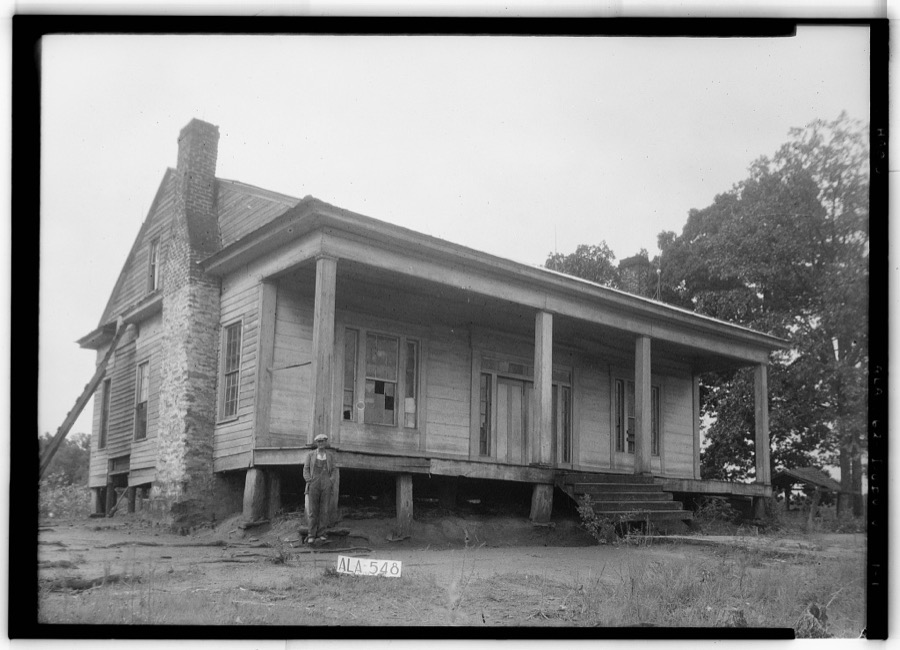
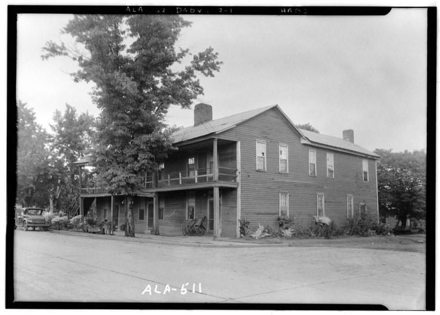
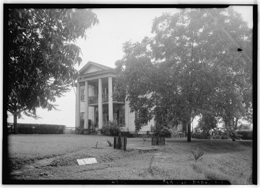
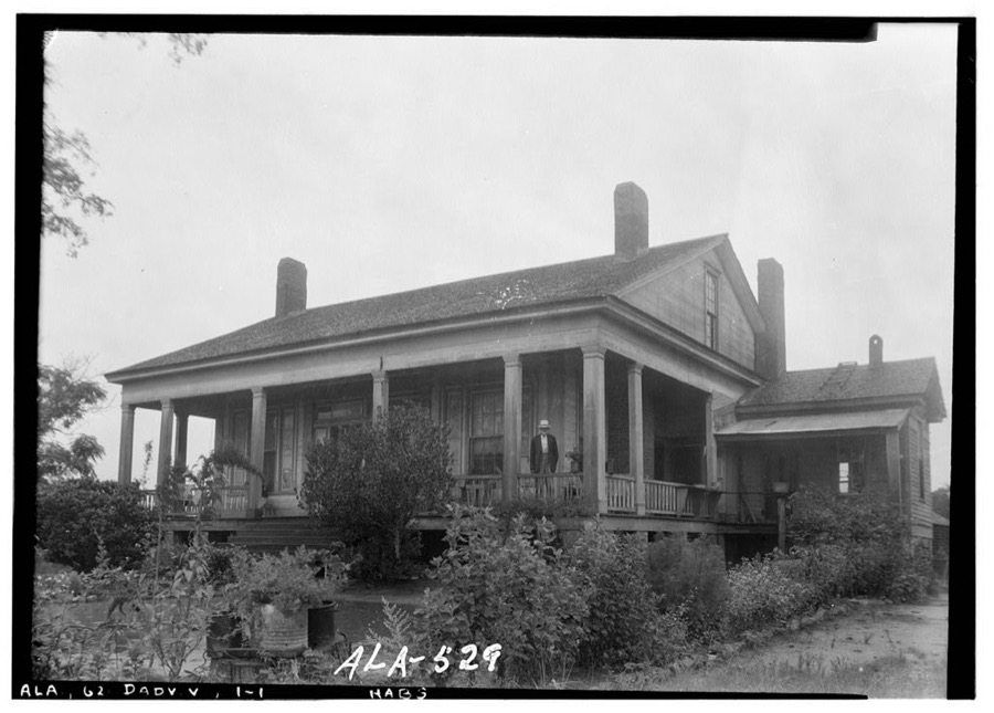
Every property in this county listed on the National Register of Historic Places, with the year it was listed and the federal nomination document.
| Photograph | Property | Type | Listed | Reference |
|---|---|---|---|---|
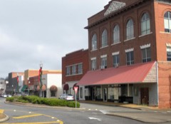 | Alexander City Commercial Historic District | district | 2000 | 00000711 |
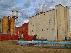 | Avondale Historic District | district | 2005 | 05000837 |
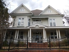 | A. J. and Emma E. Thomas Coley House | building | 1991 | 90002109 |
| Dadeville Historic District | district | 2013 | 13000471 | |
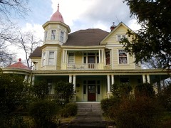 | Reuben Herzfeld House | building | 1995 | 95001023 |
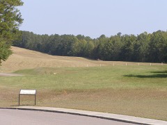 | Horseshoe Bend National Military Park | district | 1966 | 66000060 |
 | North Central Historic District | district | 2005 | 05000833 |
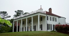 | Russell Family Historic District | district | 2006 | 05000839 |
 | South Central Historic District | district | 2005 | 05000840 |
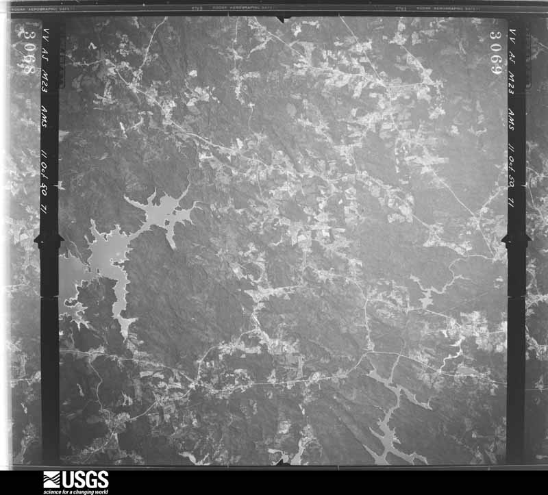
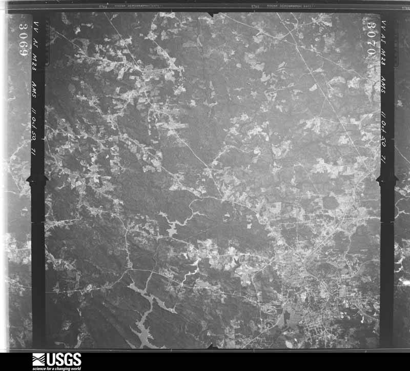
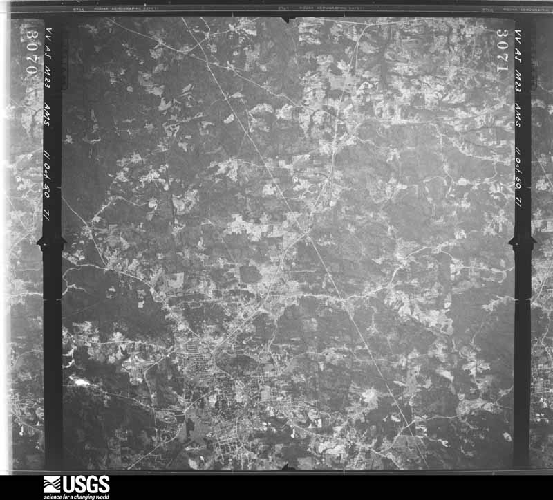
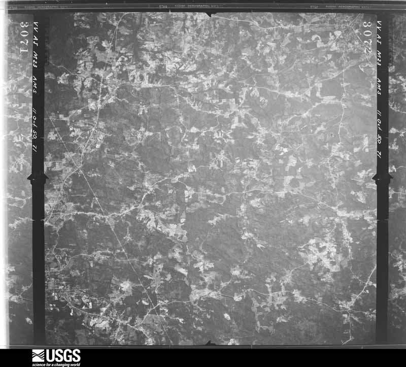
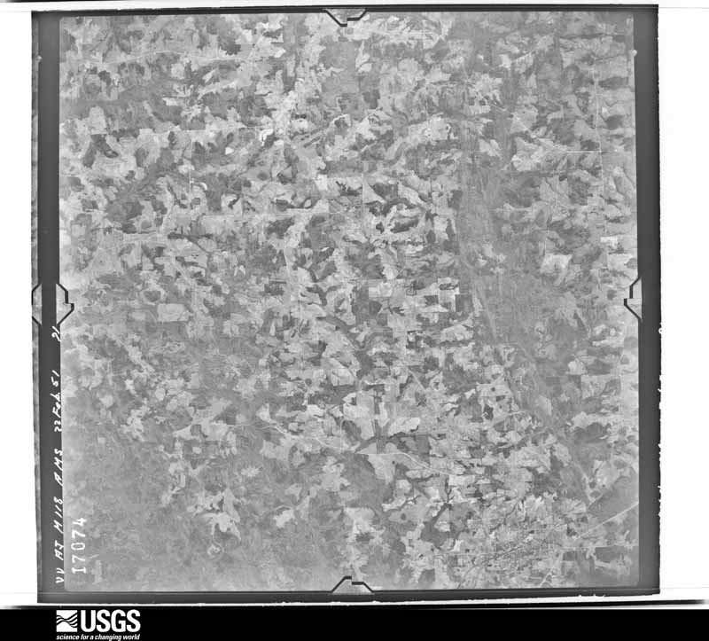
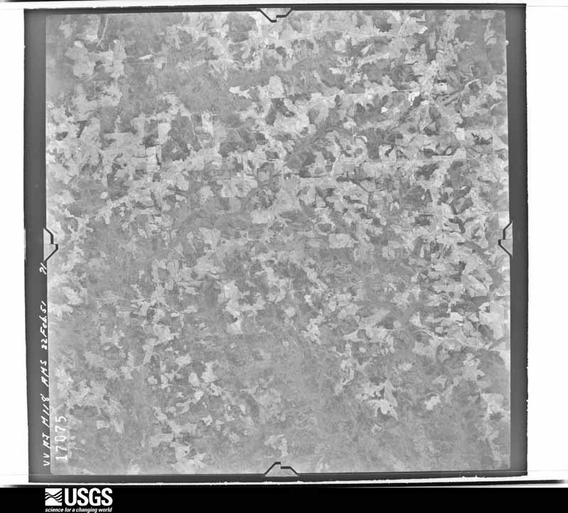
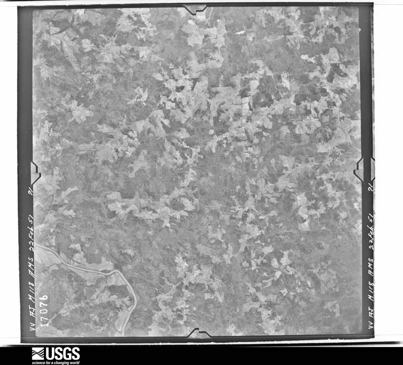
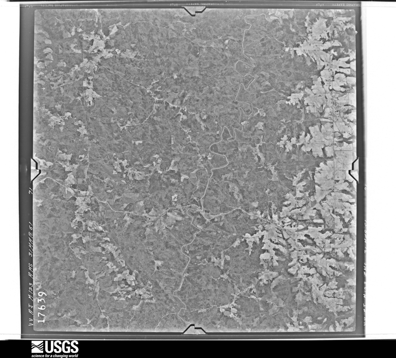
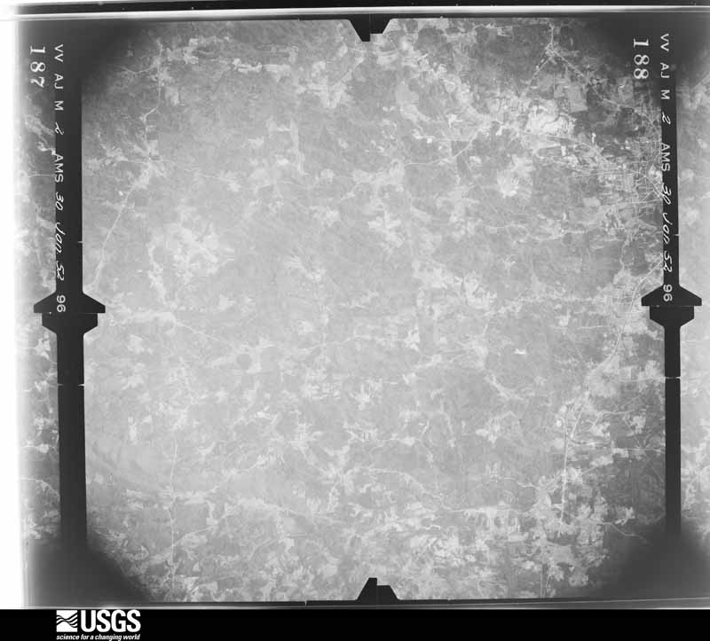
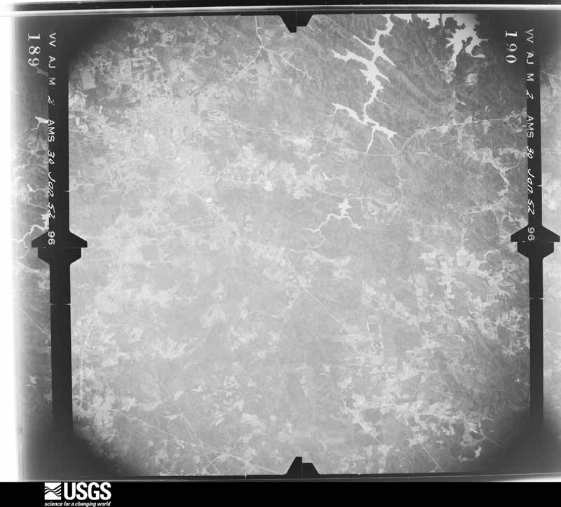
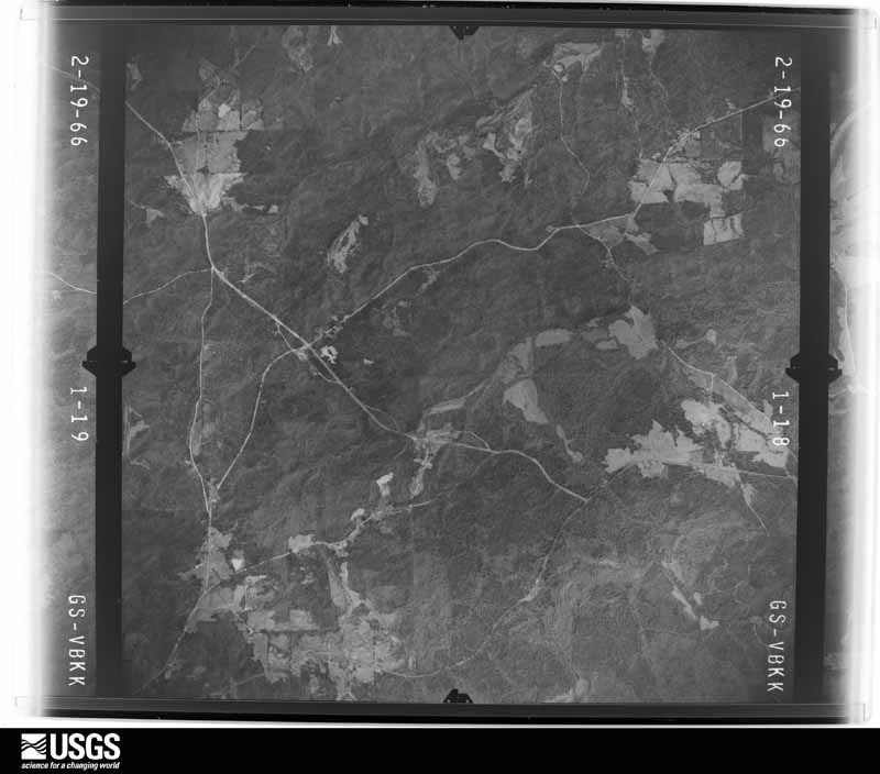
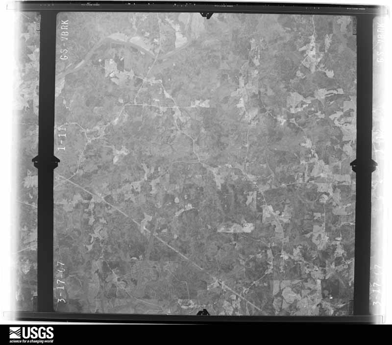
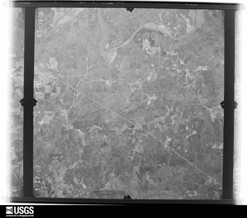
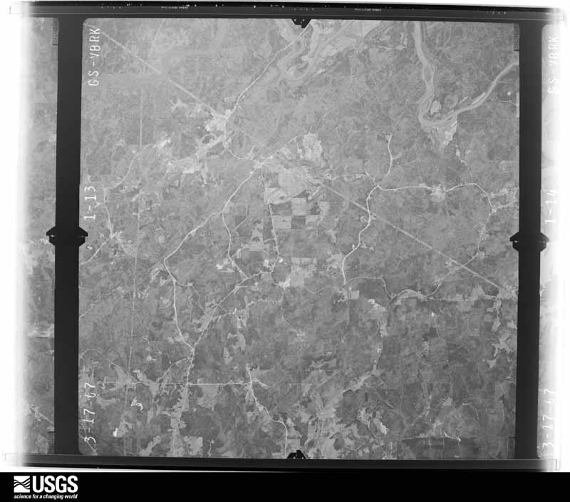
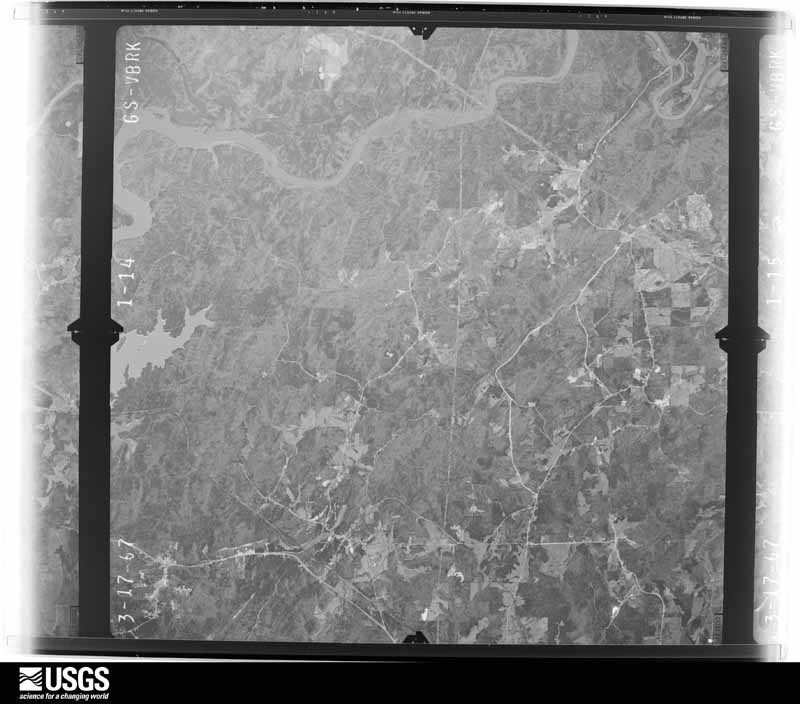
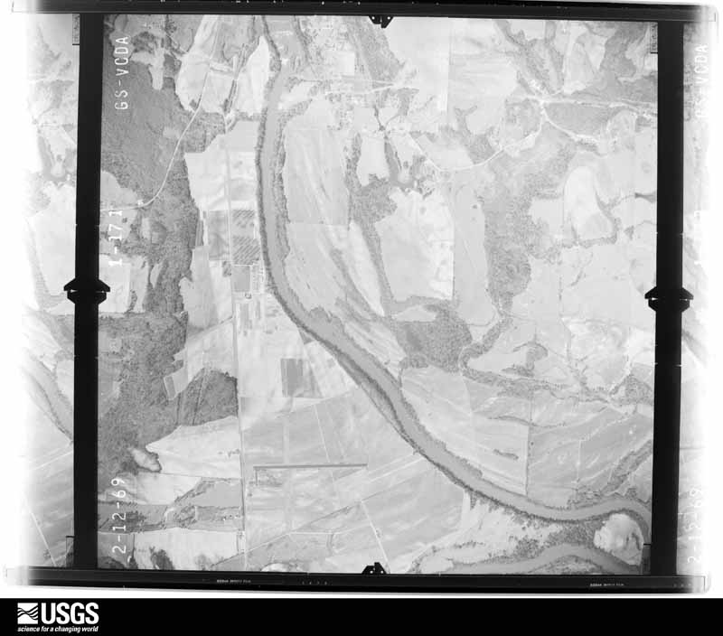
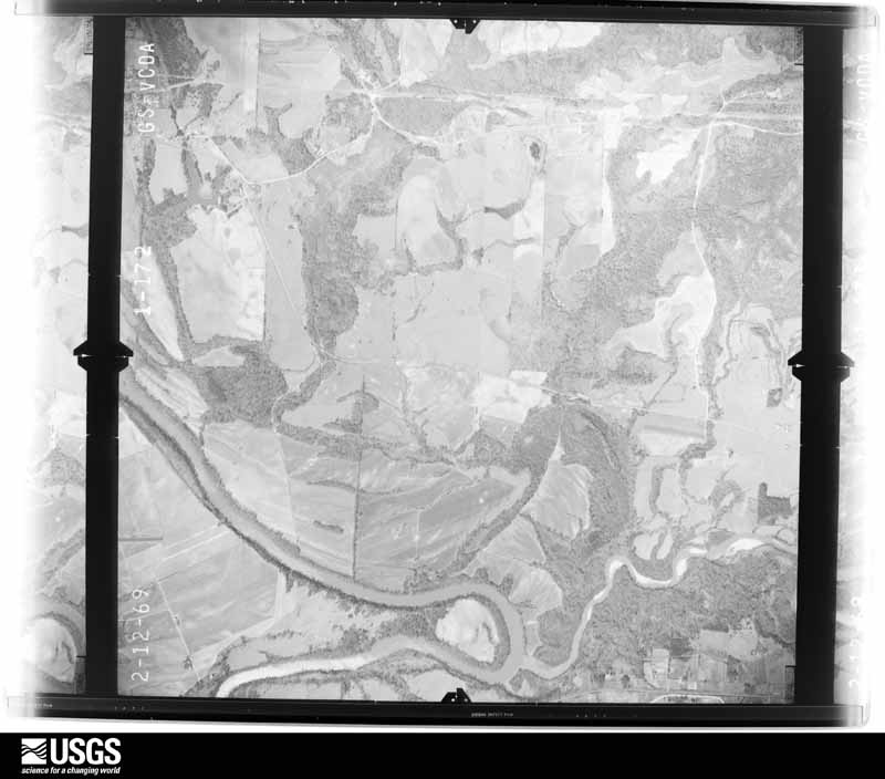
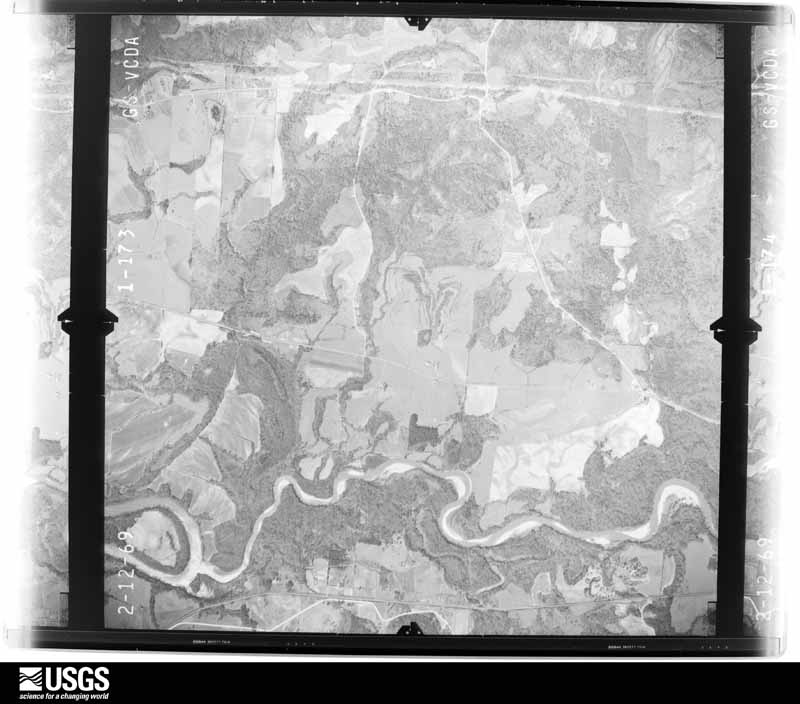
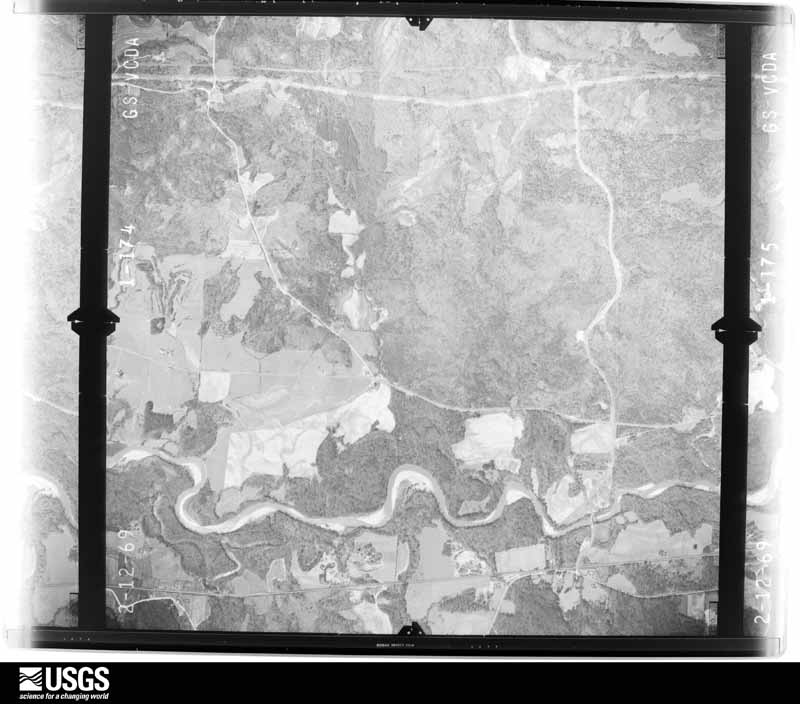
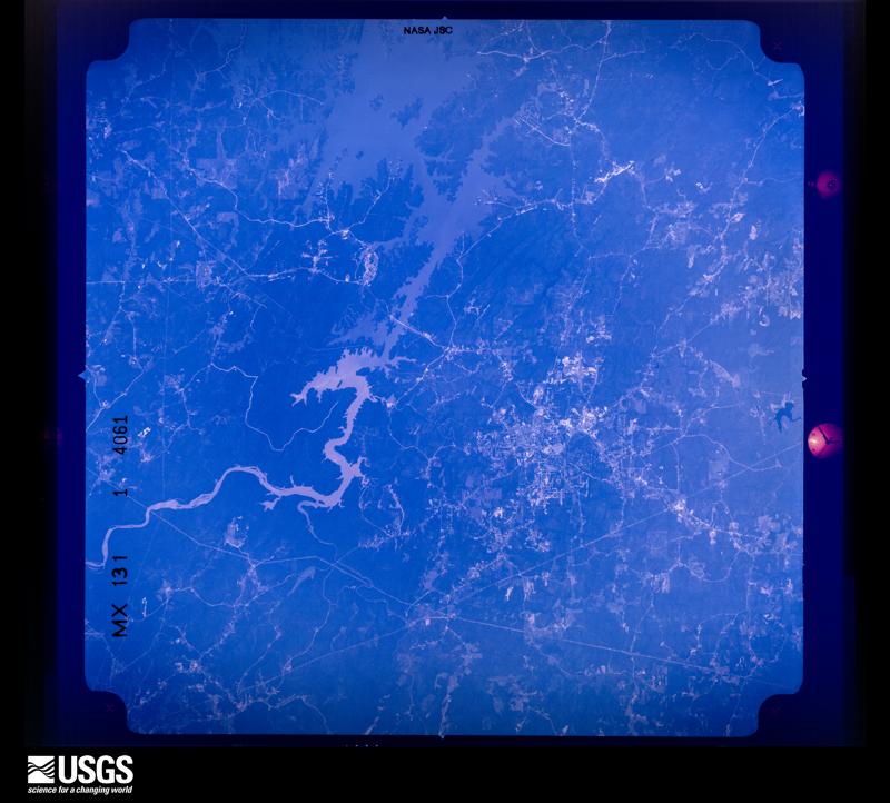
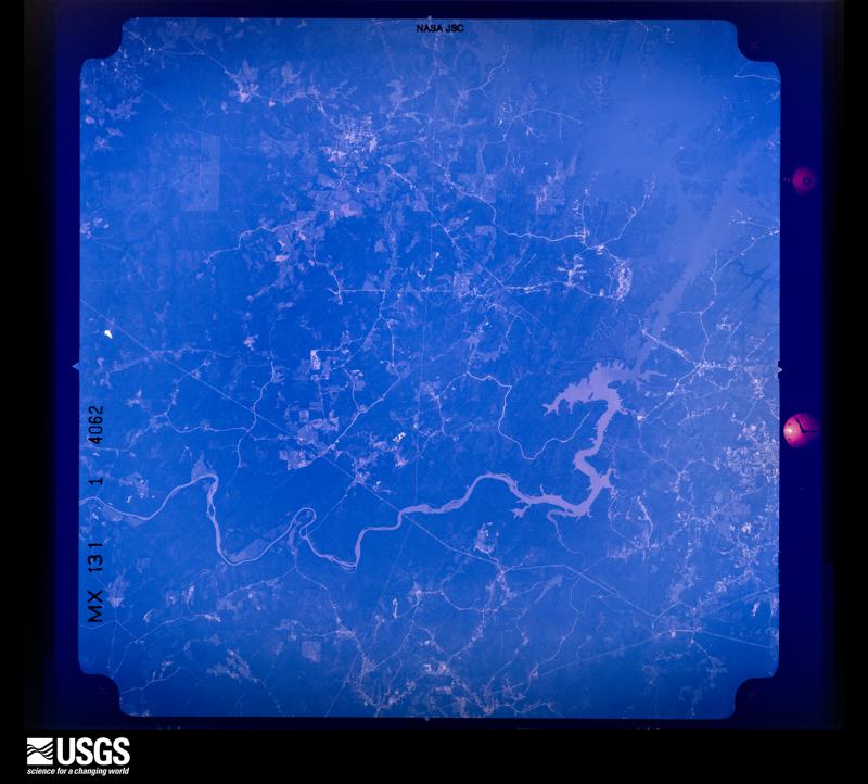
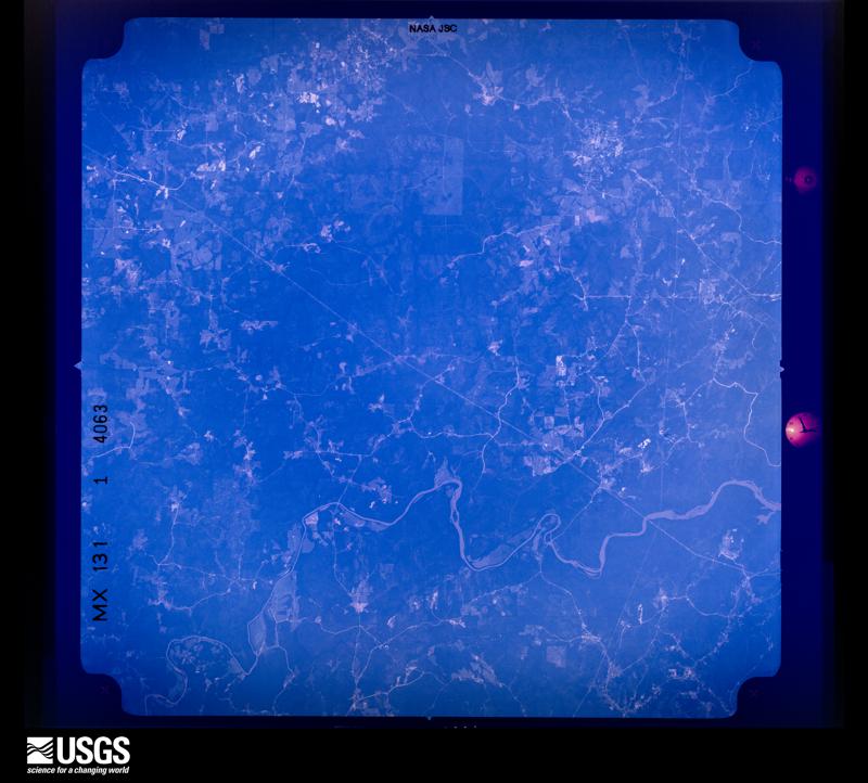
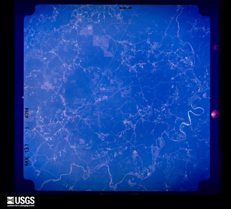
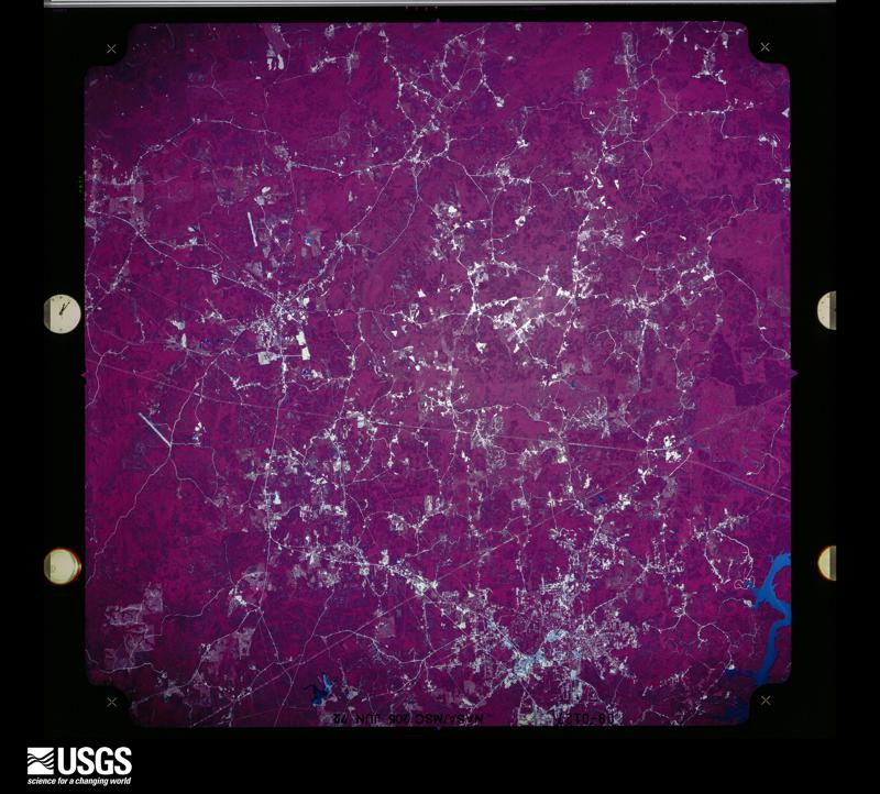
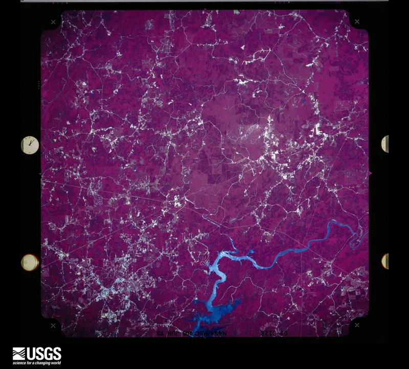
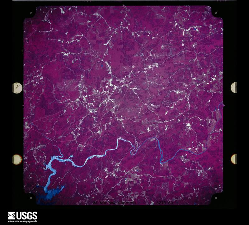
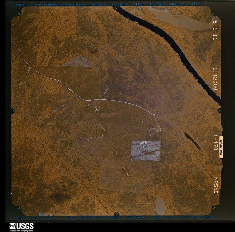
Flown by the U.S. Geological Survey between 1937 and 1989, the Aerial Photo Single Frames collection is the definitive mid-century view of the land: fields, roads and rivers as the camera saw them. The Survey holds 1,055 frames inside the rectangle that bounds this county; the 40 frames below were taken over the county itself, chosen across the decades of flights (at most four a year from that rectangle), so one flight cannot crowd out the rest. The full set is free to browse and download at EarthExplorer under the dataset Aerial Photo Single Frames.

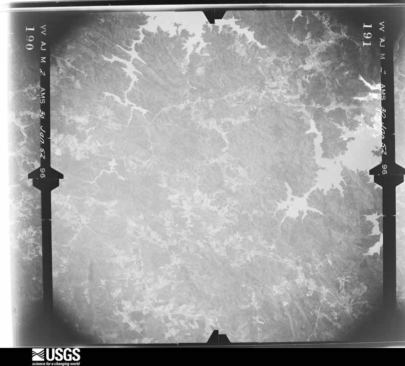
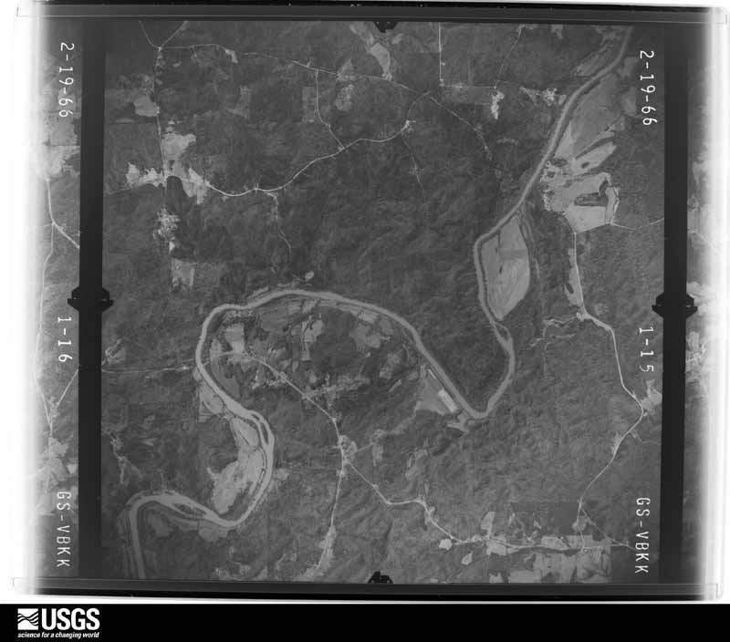
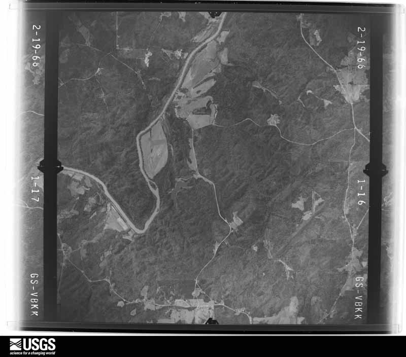
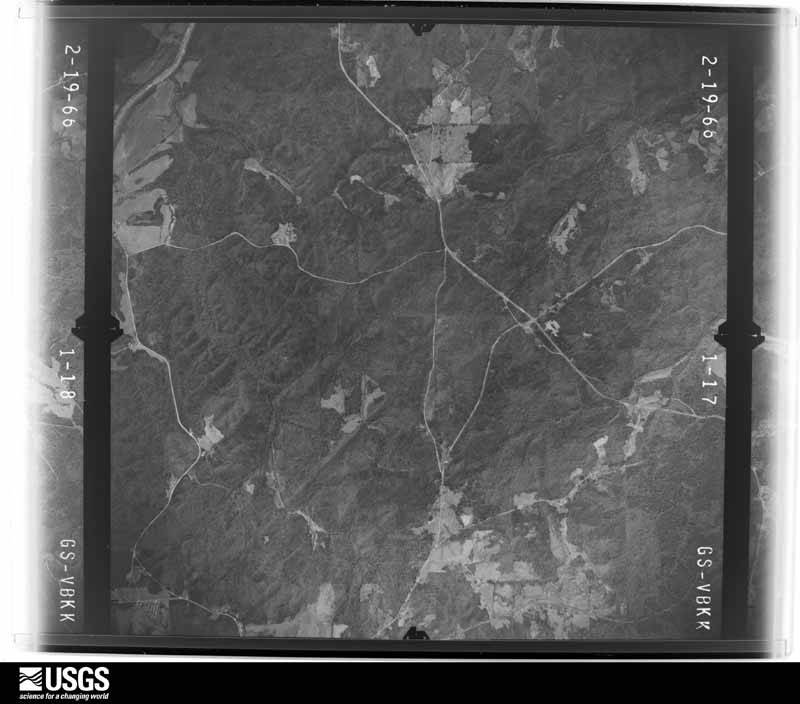




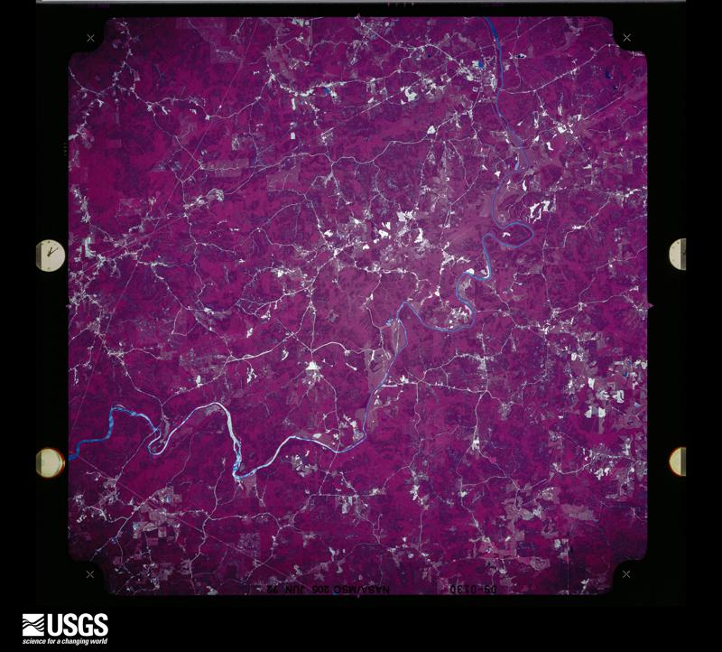
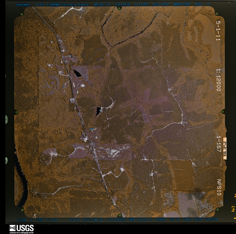
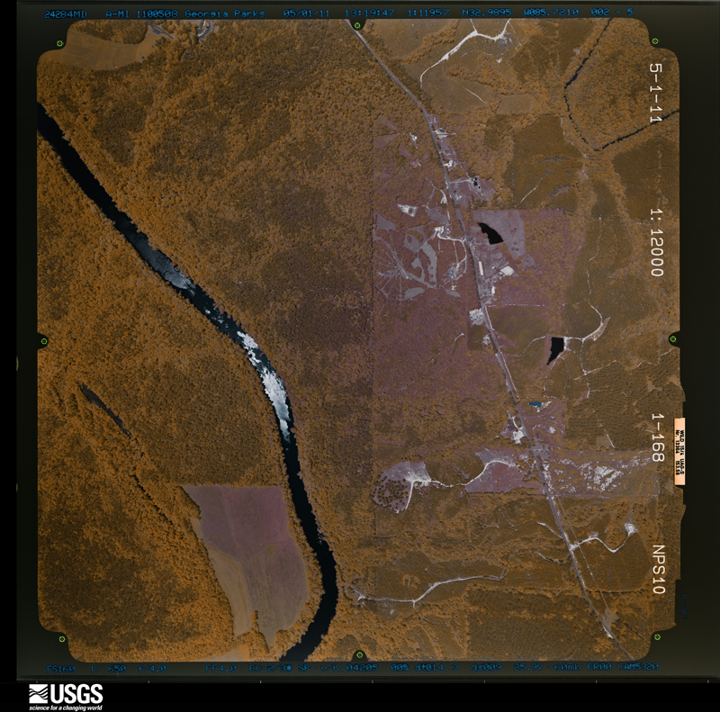
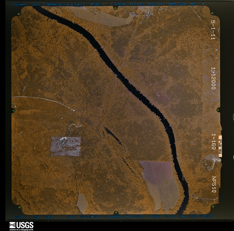
The thermometers that kept this county's weather, and the gages that measured the flow of its streams, as the federal records hold them. The extremes below are measured values from those records, not estimates.
Who lived here in 1950, one enumeration district at a time, as the Census Bureau described each district. Each row opens its official National Archives result, with Population Schedules and ED Maps available there.
Every wildfire the federal occurrence database records inside this county: 1,131 of them, burning about 10,708 acres. 25 started naturally and 351 were recorded as arson. Each settlement page carries the fires within five miles of it.
| Reported cause | Fires |
|---|---|
| Debris and open burning | 450 |
| Arson/incendiarism | 351 |
| Missing data/not specified/undetermined | 157 |
| Recreation and ceremony | 76 |
| Equipment and vehicle use | 36 |
| Natural | 25 |
| Railroad operations and maintenance | 10 |
| Misuse of fire by a minor | 10 |
| Smoking | 5 |
| Power generation/transmission/distribution | 5 |
| Other causes | 3 |
| Fireworks | 3 |
The five largest, by the area the report gives. Four of them were set deliberately.
| Date | Cause | Size | Reported by | Name on the report |
|---|---|---|---|---|
| 11 April 1999 | Arson/incendiarism | 400 acres | Alabama Forestry Commission | not named |
| 2 March 2008 | Missing data/not specified/undetermined | 352 acres | Alabama Forestry Commission | CAHABA FOREST |
| 4 March 2011 | Recreation and ceremony | 225 acres | Alabama Forestry Commission | TIMBER TRAIL, AL |
| 1 October 2010 | Arson/incendiarism | 211 acres | Alabama Forestry Commission | NEWSITE FIRE |
| 3 March 2011 | Missing data/not specified/undetermined | 150 acres | Alabama Forestry Commission | 951 JACKSON RD, AL |
| 21 October 2010 | Debris and open burning | 140 acres | Alabama Forestry Commission | COTNEY ROAD FIRE |
| 19 March 2019 | Arson/incendiarism | 134 acres | Alabama Forestry Commission | 20190319-7 |
| 1 December 2012 | Arson/incendiarism | 132 acres | Alabama Forestry Commission | ECR-20121201-002 |
Every settlement page carries the fires within five miles of it - see the settlement index below.
The NOAA Storm Events Database holds 423 reports for this county, causing 2 deaths, 28 injuries and about $120,772,300 in recorded property damage. Each settlement page carries the reports that name it.
| Kind of event | Reports |
|---|---|
| Thunderstorm Wind | 233 |
| Hail | 115 |
| Tornado | 43 |
| Flash Flood | 16 |
| Lightning | 11 |
| Heavy Rain | 2 |
| Flood | 2 |
| Funnel Cloud | 1 |
The most serious of them, by death, then injury, then recorded damage. The accounts are quoted exactly as the forecast office filed them.
| When | Event | Place named | Harm | What the report says |
|---|---|---|---|---|
| April 2011 | Tornado (EF4) | Barnesville | 1 killed, 10 hurt, $115,000,000 | A tornado touched down in central Elmore County, north of Wetumpka, and moved northeast through central Tallapoosa and western Chambers Counties, before it lifted west northwest of Lafayette. The tornado crossed into Tallapoosa County near Stoney Ridge Rd, south of CR 34, and intensified to EF4 strength with winds of 170 mph. Damage was widespread and severe with several well built multi-story homes destroyed with no walls remaining on floors above basement level. The tornado continued at this strength but became narrower to nearly 400 yards wide as it crossed AL Hwy 49 south of Dadeville where it destroyed 2 homes and rolled a pick-up truck 120 yards. The tornado continued northeast and weakened to EF3 strength with winds of 155 mph. It crossed U.S. Hwy 280 just east of Dadeville where it produced significant damage to several homes and businesses, and caused one fatality. The tornado crossed into Chambers County west of Lafayette, south of CR 48. |
| March 2012 | Tornado (EF2) | Our Town | 1 killed, 2 hurt | A tornado touched down just west of Highway 63 in western Tallapoosa County, where it uprooted and snapped scores of trees. It continued northeastward and passed just north of Wind Creek State Park, where it produced significant and widespread tree damage between Highway 128 and the shores of Lake Martin. The tornado caused significant damage to several homes in the Pineywoods Area. It then crossed Lake Martin and came ashore in the River Bend Subdivision, where it snapped or uprooted hundreds more trees. The tornado continued moving to the northeast and crossed Highway 280, just west of Midway, producing minor tree damage. It passed north of Jacksons Gap and passed just south of Eagle Creek, where it widened to over one-quarter mile. It destroyed one double-wide manufactured home and two single-wides. As the storm crossed Alabama 49, it lofted and destroyed a single-wide manufactured home, fatally injuring one individual. The tornado path broadened to approximately 1000 yards as it crossed Elder Road. Farther to the east, approximately 14 homes received mainly roof damage and scores of trees were snapped or uprooted on Buttston Road, just north of Denver Road. The tornado continued into eastern Tallapoosa County, and then moved into Chambers County, where it eventually lifted. |
| November 1992 | Tornado (F1) | not stated | 5 hurt, $2,500,000 | no account filed |
| July 2008 | Lightning | Our Town | 3 hurt, $1,000 | Two separate lightning strikes hit 3 people in Wind Creek State Park. All 3 were injured, and one had to be taken to the hospital. Another lightning strike destroyed a boat house in the same area. |
| November 1979 | Tornado (F2) | not stated | 2 hurt, $250,000 | no account filed |
| July 2005 | Lightning | Alexander City | 1 hurt, $55,000 | Lightning struck a home in Alexander City and a fire ensued. The home suffered significant damage. A woman sustained minor burns in the fire. |
| May 2021 | Thunderstorm Wind | Tallapoosa City | 1 hurt | Several trees uprooted and fell on a home. |
| July 2017 | Lightning | Sturdivant | 1 hurt | Person struck by lightning and taken to to local hospital. |
| August 2014 | Lightning | Sessions | 1 hurt | A 24 year old male sustained non-life threatening injuries when he was struck by lightning in his yard outside of his home. |
| January 2012 | Thunderstorm Wind | Our Town | 1 hurt | A swath of straight line wind damage 10.7 miles long began one mile southwest of U.S. Highway 63 on County Road 11 where several trees were uprooted. The damage extended to the northeast, through Wind Creek State Park, across U.S. Highway 280, and ended north of Jacksons Gap. The most heavily damaged area, where damage was consistent with 90 MPH winds, was on the west side of Lake Martin along Piney Woods Rd, where several homes and an RV were destroyed by falling trees. A small church sustained minor roof damage along U.S. Highway 280, near Midway Estates Rd. Wind damage ended 1.6 miles north of Jacksons Gap, where several trees were knocked down along Rock Springs Rd. |
| April 1995 | Thunderstorm Wind | Dadeville | 1 hurt | An employee of the Still Waters Resort on Lake Martin was injured when the top of a tree was broken off by strong wind. The broken portion of the tree landed where two or three employees were standing. One employee was struck in the head by the falling tree and required hospitalization. Several other trees in the area were blown down by the wind, but no property damage was reported. |
| June 2007 | Thunderstorm Wind | Newsite | $315,000 | The doors to the city hall and fire department buildings were damaged, a gymnasium suffered roof damage, and numerous trees were blown down. |
| September 2018 | Lightning | Tallapoosa City | $250,000 | Large home on Greenwood Road destroyed by fire started by lightning. |
| March 1996 | Tornado (F1) | Jacksons Gap | $150,000 | no account filed |
| April 2003 | Thunderstorm Wind | Carrville | $120,000 | The second supercell merged with the original supercell at this time across southern Tallapoosa County. This re-energized the storm considerably. Damaging winds associated with this transformed supercell moved across extreme southern Tallapoosa County. Numerous trees were blown down from near Lake Martin to near Reeltown. Hail up to 2.00 inches in diameter accompanied the storm. |
| June 1999 | Flash Flood | Alexander City | $120,000 | More than two inches of rain fell in a short period of time around Alexander City. Numerous roads were flooded and had to be temporarily closed. Several homes and businesses sustained water damage. A dam was also severely damaged due to the volume of water. |
| May 2010 | Flash Flood | Goldville | $100,000 | A large area of Tallapoosa County experienced flash flooding due to a period of intense rainfall. The hardest hit area was Alexander City, where street flooding was described as serious, and several water rescues had to be performed. A culvert was washed out on County Road, near US-280 on the west side of Alexander City. Water rescues were also needed in the Hackneyville area, and Dutch Bend Road near the New Site community also became flooded. |
| January 2007 | Tornado (F1) | Barnesville | $100,000 | The tornado touched down south of the Walnut Hill Community, near the intersection of Prospect Road and State Highway 49. The tornado damaged a few homes and destroyed a mobile home on Butterfly Lane. The tornado tracked northeastward and damaged another home on Sandy Drive before lifting. Overall, at least three homes sustained damage, one trailer was totally destroyed and about 40 trees were snapped off. Maximum winds were estimated at 85 to 90 mph. |
| December 1996 | Tornado (F0) | Alexander City | $80,000 | no account filed |
| August 2002 | Lightning | Alexander City | $75,000 | Two separate house fires were initiated by lightning. One of the fires caused significant structural damage and also destroyed an automobile. In the second instance, the lightning bolt hit a tree next to the structure, and both caught on fire. No injuries were reported in either event. |
| May 1998 | Thunderstorm Wind | Alexander City | $75,000 | A large Texaco sign was destroyed, several cars were pushed around at an apartment parking lot, and numerous trees and power lines were down. |
| March 1996 | Lightning | Dadeville | $75,000 | no account filed |
| August 2005 | Tornado (F1) | Reeltown | $70,000 | National Weather Service meteorologists conducted a storm survey in Tallapoosa County. It has been determined that an F1 tornado occurred with winds estimated around 80 miles an hour. The tornado touched down at approximately 155 PM CDT just east of State Highway 49 or about 1.7 miles southwest of Reeltown. The tornado traveled northwest and ended at approximately 158 PM CDT near the intersection of County Road 45 and Sulphur Springs Road. Numerous trees were uprooted or snapped off along the path of the tornado. Several homes suffered varying degrees of damage. The tornado damage path was 3.25 miles long and 300 yards wide at its widest point. Begin: 32 34.92/85 49.30 End: 32 37.40/85 50.92 |
| April 2009 | Tornado (EF1) | Church Hill | $50,000 | The tornado started near the intersection of Prospect Road and County Road 45, about 3.5 miles southeast of Martin Dam. It then traveled southeast across AL-49 and several other county and secondary roads, before moving into Lee County. In Tallapoosa County, there were numerous trees snapped off and uprooted along the path. Several outbuildings of various size had their roofs blown off. |
| May 2009 | Thunderstorm Wind | Dadeville | $50,000 | Trees were blown down at several locations around Tallapoosa County, at least one of which landed on and badly damaged a house. |
| April 2007 | Thunderstorm Wind | Dadeville | $50,000 | One very large building under contruction was destroyed at the Dadeville Industrial Park. |
| April 2006 | Lightning | Daviston | $50,000 | Lightning struck the roof of a house, caught the wiring on fire, which subsequently led to other parts of the house catching fire. |
| June 2006 | Thunderstorm Wind | Alexander City | $50,000 | Three trees were blown down onto houses in Alex City. |
| August 1995 | Thunderstorm Wind | Alexander City | $50,000 | Thunderstorm wind caused damage across the northern section of Lake Martin in the area from south of Alexander City to southeast of Alexander City including the communities of Our Town and Walnut Hill. About 4,200 electric customers were without power as power lines and trees came down. Damage was reported as extensive at Chuck's Marina on the east side of Lake Martin. |
| June 1998 | Thunderstorm Wind | Alexander City | $50,000 | no account filed |
| April 2011 | Tornado (EF1) | Martin Lake North | $45,800 | A tornado touched down in a wooded area 4 miles southwest of Jackson's Gap. The tornado moved to the northeast where it snapped and uprooted many trees. As the tornado crossed Highway 280, 3 homes were damaged due to fallen trees. The tornado lifted 3.1 miles north of Jackson's Gap. |
| December 1996 | Thunderstorm Wind | Tallassee | $45,000 | no account filed |
| August 2005 | Lightning | Alexander City | $35,000 | The New Elkahatchee Baptist Church was struck by lightning. The church steeple caught on fire and was destroyed. |
| March 2005 | Hail | Dadeville | $33,000 | The supercell thunderstorm that produced hail across Elmore County strengthened and continued to produce hail all the way across Tallapoosa County. The largest hail reported was 3 inches in diameter. Several vehicles suffered hail damage. |
| June 2007 | Thunderstorm Wind | Dadeville | $30,000 | Ten to twenty trees were blown down around the city of Dadeville. At least two of the trees fell onto vehicles, causing significant damage. The falling trees also caused several power poles to snap. |
| April 1996 | Thunderstorm Wind | Alexander City | $30,000 | no account filed |
| June 2010 | Thunderstorm Wind | Bevelle | $25,000 | A large tree fell on two units of a townhouse and 3 vehicles, on Hillabee Street in Alexander City. |
| August 2007 | Thunderstorm Wind | Sturdivant | $25,000 | A boat house on the Tallapoosa River, near the US-280 bridge, was substantially damaged. |
| June 2006 | Thunderstorm Wind | Alexander City | $25,000 | A tree was blown down and fell on a house, along Highway 22 between Alex City and New Site. |
| July 2000 | Thunderstorm Wind | Countywide | $25,000 | Trees and power lines were knocked down across the entire county. Several trees landed on homes causing minor damage. |
| January 1998 | Flash Flood | Countywide | $25,000 | no account filed |
| April 1984 | Tornado (F1) | not stated | $25,000 | no account filed |
| April 1975 | Tornado (F1) | not stated | $25,000 | no account filed |
| April 1964 | Tornado (F1) | not stated | $25,000 | no account filed |
| March 1963 | Tornado (F1) | not stated | $25,000 | no account filed |
| March 1961 | Tornado (F1) | not stated | $25,000 | no account filed |
| November 1957 | Tornado (F1) | not stated | $25,000 | no account filed |
| July 2005 | Thunderstorm Wind | Dadeville | $22,000 | A few trees were blown down and large limbs were snapped off along Gardner Dairy Road just northeast of Dadeville. One mobile home was damaged and a tin roof of an out-building was torn off. |
| April 2009 | Hail | Our Town | $20,000 | Hail up to the size of golf balls fell along AL-63, near the Our Town community. Several windows were broken out and vehicles were damaged. |
| April 2007 | Tornado (EF1) | Dadeville | $20,000 | A tornado touched down near the intersection of Lafayette Street and Fulton Street, on the northeast side of US Highway 280 in Dadeville. It then tracked east southeast for about 1 mile, and lifted just past the railroad tracks and Woodyard Street. At least three homes were damaged due to numerous uprooted trees. A lumber company had substantial damage to several metal sheds. |
| March 2005 | Flash Flood | Countywide | $20,000 | Doppler radar estimated up to 3 inches of rain in a three hour period. This heavy rain fell on already saturated ground. Doppler radar estimated up to 8 inches in a 24 hour period. Several roads were temporarily impassable due to high water. Several area creeks and streams were out of their banks. The flooding was most concentrated across the southern third of the county. |
| April 2005 | Tornado (F1) | Newsite | $20,000 | no account filed |
| July 2003 | Flash Flood | Countywide | $17,000 | no account filed |
| November 2006 | Tornado (F0) | Reeltown | $15,000 | A weak tornado touched down about one-half of a mile west of Reeltown, near the intersection of County Road 45 and County Road 13. Several trees were blown down or snapped off along the short path. One mobile home suffered some siding damage. Three outbuildings also sustained significant damaged. | |
| October 1995 | Thunderstorm Wind | New Site | $15,000 | Thunderstorm wind that sounded like a freight train according to witnesses caused some property damage in the Simpson community just northeast of New Site in northeast Tallapoosa County. Trees were blown down, a roof was taken off a barn, antennas were downed, shingles were taken off several roofs, and one porch was damaged. |
| March 2003 | Thunderstorm Wind | Dadeville | $12,000 | A wind gust with a thunderstorm downed or split several trees on the north side of US 280 about 6.2 miles northwest of Dadeville. Two homes lost shingles and another house had one corner of the metal roof lifted and bent. A cement block storage shed behind one mobile home lost about three-fourths of the metal roofing material. The worst damage occurred to a mobile home that served as an office for a used auto parts business. That mobile home was completely de-roofed and the roof was deposited about 25 feet north of the structure. A storm damage survey revealed no evidence of rotation in this event. |
| November 1995 | Thunderstorm Wind | Dadeville | $12,000 | Wind with a thunderstorm downed trees and power lines in the city of Dadeville. |
| June 2025 | Lightning | Sturdivant | $10,000 | Lightning struck a tall poplar tree at Camp Ascca, causing the tree to disintegrate. The strike entered the dining hall, causing extensive damage to electrical appliances and fire/water damage to the structure. |
| April 2011 | Tornado (EF1) | Our Town | $10,000 | A tornado touched down 6.4 miles west of Central, along County Road 334 in Elmore County. The tornado moved to the northeast and crossed the Coosa County line. The tornado then crossed State Highway 9 and continued moving east, eventually crossing into Tallapoosa County. The tornado lifted on the east side of northern Lake Martin. In Tallapoosa County, numerous trees were snapped or uprooted. |
| July 2011 | Flash Flood | Alexander City | $10,000 | A nursing home had over two feet of water inside, leading to the 63 residents being evacuated by boat. Several other high water rescues were performed in the same area. |
The Survey's mineral resources record lists 85 workings inside this county. 2 still produce and 83 are closed or unrecorded. Each settlement page carries the workings within five miles of it.
| Commodity | Workings |
|---|---|
| Gold | 49 |
| Mica | 19 |
| Talc-Soapstone | 10 |
| Sulfides | 3 |
| Titanium | 3 |
| Clay | 2 |
| Iron, Manganese | 1 |
| Asbestos | 1 |
| Fluorine-Fluorite | 1 |
The least common of them first, because a county's hundredth gravel pit says nothing its first ten did not.
| Where | Site | Commodity | Status | Recorded |
|---|---|---|---|---|
| Heard-Dennis Prospect | Asbestos | Prospect | ||
| Lowe Mine | Gold, Iron, Manganese | Past Producer | 1932, 1933 | |
| Rockford Area | Fluorine-Fluorite | Occurrence | ||
| Allen Clay Prospect | Clay | Prospect | ||
| Hillabee Plant and Pit Number 1 | Clay | Producer | ||
| Dixie Farms Deposit | Titanium | Occurrence | ||
| Dutch Bend Mine | Gold, Sulfides | Past Producer | Barite, Chalcopyrite, Gold, Pyrite | |
| Herzfield Prospect | Titanium | Occurrence | ||
| Jones Pits | Gold, Sulfides | Past Producer | Gold, Pyrite | |
| Mahan Pits | Gold, Sulfides | Occurrence | Gold | |
| Robert Russell Prospect | Titanium | Occurrence | ||
| Clem Vines North Prospect | Talc-Soapstone | Occurrence | Talc | |
| Clem Vines South Prospect | Talc-Soapstone | Occurrence | Talc | |
| Garfield Heard Property | Talc-Soapstone | Occurrence | Talc | |
| Harris Prospect | Talc-Soapstone | Prospect | ||
| Knight Asbestos Prospect | Talc-Soapstone | Prospect | ||
| Perry Wise-Sanders Prospect | Talc-Soapstone | Occurrence | Talc | |
| Prather Prospect | Talc-Soapstone | Occurrence | Talc | |
| Sorrell Estate Asbestos Prospect | Talc-Soapstone | Prospect | ||
| W.B.Railey Asbestos Prospect | Talc-Soapstone | Prospect | ||
| Ware Prospect | Talc-Soapstone | Prospect | ||
| Abernarhy Prospect | Mica | Past Producer | ||
| Abernathy Mine | Mica | Past Producer | ||
| B E Kidd Jr Mine | Mica | Past Producer | ||
| Buttston Mica Mine | Mica | Unknown | ||
| Carleton Mine | Mica | Past Producer | ||
| Collum Deposit | Mica | Prospect | ||
| Collum Mine | Mica | Past Producer | ||
| Collum-Taylor Mine | Mica | Past Producer | ||
| Doc Heard Prospect | Mica | Past Producer | ||
| Dock Heard Mine | Mica | Past Producer | ||
| Easterwood Mine | Mica | Past Producer | ||
| Howard Mine | Mica | Past Producer | ||
| Kidd Mine | Mica | Past Producer | ||
| Louis Taylor Prospect | Mica | Prospect | ||
| Mica Hill Mine | Mica | Past Producer | ||
| Old Berry Mine | Mica | Past Producer | ||
| Saunders Prospect | Mica | Occurrence | ||
| Thomas Mine | Mica | Past Producer | ||
| W W Hicks Mine | Mica | Past Producer | ||
| Al King Mine | Gold | Past Producer | Vein | |
| Alabama King Mine | Gold | Past Producer | Vein | |
| Birdsong Pits | Gold | Occurrence | Gold | |
| Blue Hill and Gregory Hill Mines | Gold | Past Producer | Vein | |
| Bonner-Terrell Mine | Gold | Past Producer | Gold | |
| Chisolm Prospect | Gold | Occurrence | Gold | |
| Croft Pits | Gold | Occurrence | Gold | |
| Dent Hill Prospect | Gold | Occurrence | Gold | |
| Devils Backbone District | Gold | Producer | 1835 | |
| Duncan Prospect | Gold | Past Producer | Vein | |
| Duncan Prospect | Gold | Occurrence | Gold | |
| Dutch Bend Ulrich Pits Romanoff Mine | Gold | Past Producer | Vein | |
| Eagle Creek District | Gold | Past Producer | Vein | |
| Early Pits Mine | Gold | Past Producer | Gold | |
| Farrow Hill Devil's Backbone | Gold | Past Producer | Vein | |
| Farrow Hill Prospect | Gold | Occurrence | Gold | |
| Germany Pits Prospect | Gold | Occurrence | Gold | |
| Goldville District | Gold | Past Producer | 1842 | |
| Goldville Pits | Gold | Past Producer | Vein | |
| Goldville Pits Prospect | Gold | Occurrence | Gold | |
| Greer Prospect | Gold | Occurrence | 1881 | |
| Gregory Hill Lode and Placer | Gold | Past Producer | Vein | |
| Griffin Prospect | Gold | Occurrence | Gold | |
| Hammock Mine | Gold | Past Producer | 1881 | |
| Hawthorne Mine | Gold | Past Producer | 1932, 1933 | |
| Hog Mountain Mine | Gold | Past Producer | 1839 | |
| Holly Prospect | Gold | Occurrence | 1911 | |
| Houston Pits | Gold | Occurrence | Gold | |
| Jennings Lode | Gold | Occurrence | Gold | |
| Johnson Prospect | Gold | Occurrence | 1840, 1845 | |
| Log Mine | Gold | Past Producer | Gold | |
| Long Branch Prospect | Gold | Occurrence | 1842, 1852 | |
| Lowe Mine Hawthorne Mine | Gold | Past Producer | Vein | |
| Maham Pits | Gold | Past Producer | Vein | |
| Mass Prospect | Gold | Occurrence | Gold | |
| Morgan Placer | Gold | Occurrence | 1892 | |
| Morgan Placer | Gold | Past Producer | Placer | |
| Owl Hollow Placer | Gold | Past Producer | 1842, 1852 | |
| Preacher Gunn Prospect | Gold | Occurrence | Gold | |
| Silver Hill Mine | Gold | Past Producer | 1835 | |
| Stone Pits | Gold | Past Producer | Vein | |
| Stone Pits Prospect | Gold | Occurrence | Gold | |
| Tallapoosa Mine | Gold | Past Producer | Gold | |
| Tapley Mine | Gold | Past Producer | Vein | |
| Tine Burnett Lode | Gold | Occurrence | Gold |
Named settlements recorded in the Geographic Names Information System, each with the topographic sheets covering it. Villages, hamlets and abandoned places alike. Each is shown with the nearest named watercourse or landform and the survey quadrangle it falls on. The 3 places that were also surveyed for fire insurance come first, with the number of atlases and photographs held for them.
Alexander City census division · 35010 · Alexander City quadrangle
12 sheets, 1906 to 1981
Fire insurance: 7 atlases
Camp Hill census division · 36850 · On Little Sandy Creek · Camp Hill quadrangle
11 sheets, 1906 to 1981
Fire insurance: 2 atlases
Dadeville census division · 36853 · Dadeville quadrangle
12 sheets, 1906 to 1981
Fire insurance: 8 atlases
Alexander City census division · 35010 · On Wind Creek · Our Town quadrangle
11 sheets, 1906 to 1981
No longer a settlement
Alexander City census division · 35010 · On Hillabee Creek · Alexander City quadrangle
12 sheets, 1906 to 1981
Dadeville census division · 36853 · On Copper Creek · Ponders quadrangle
11 sheets, 1906 to 1981
Dadeville census division · 36853 · Our Town quadrangle
11 sheets, 1906 to 1981
No longer a settlement
New Site census division · 36256 · New Site quadrangle
11 sheets, 1891 to 1978
No longer a settlement
Tallassee census division · 36078 · On Stone Creek · Carrville quadrangle
11 sheets, 1906 to 1981
Dadeville census division · 36853 · On County Line Creek · Buttston quadrangle
11 sheets, 1906 to 1981
Dadeville census division · 36853 · On Wind Creek · Red Hill quadrangle
11 sheets, 1906 to 1981
New Site census division · 36256 · On Emuckfaw Creek · Buttston quadrangle
11 sheets, 1906 to 1981
No longer a settlement
Tallassee census division · 36850 · Thornton quadrangle
10 sheets, 1906 to 1981
No longer a settlement
New Site census division · 35010 · On Dewberry Branch · New Site quadrangle
11 sheets, 1891 to 1978
New Site census division · 36256 · On Mill Creek · Daviston quadrangle
11 sheets, 1891 to 1978
Dadeville census division · 36850 · On Galloway Creek · Dudleyville quadrangle
10 sheets, 1906 to 1981
Alexander City census division · 35010 · Our Town quadrangle
11 sheets, 1906 to 1981
No longer a settlement
Alexander City census division · 35010 · On Blackman Creek · Alexander City quadrangle
12 sheets, 1906 to 1981
Alexander City census division · 35010 · Alexander City quadrangle
12 sheets, 1906 to 1981
New Site census division · 36256 · Daviston quadrangle
11 sheets, 1891 to 1978
No longer a settlement
New Site census division · 36256 · On Galloway Creek · Buttston quadrangle
11 sheets, 1906 to 1981
Alexander City census division · 35010 · On Coley Creek · Alexander City quadrangle
12 sheets, 1906 to 1981
New Site census division · 35010 · On Turkey Branch · Jacksons Gap quadrangle
11 sheets, 1906 to 1981
New Site census division · 36276 · On Hodnett Mill Creek · Wadley South quadrangle
11 sheets, 1891 to 1978
New Site census division · 36256 · On Jones Vane Creek · New Site quadrangle
11 sheets, 1891 to 1978
Alexander City census division · 35010 · Hackneyville quadrangle
12 sheets, 1891 to 1978
New Site census division · 36256 · On Emuckfaw Creek · Buttston quadrangle
11 sheets, 1906 to 1981
No longer a settlement
Dadeville census division · 36850 · On McCowan Creek · Dudleyville quadrangle
10 sheets, 1906 to 1981
New Site census division · 36256 · New Site quadrangle
11 sheets, 1891 to 1978
No longer a settlement
Alexander City census division · 35072 · On Tanyard Branch · Hackneyville quadrangle
12 sheets, 1891 to 1978
No longer a settlement
Alexander City census division · 35010 · Alexander City quadrangle
12 sheets, 1906 to 1981
Alexander City census division · 35010 · On Wind Creek · Our Town quadrangle
11 sheets, 1906 to 1981
No longer a settlement
Dadeville census division · 35010 · On Sturdivant Creek · Alexander City quadrangle
12 sheets, 1906 to 1981
New Site census division · 36256 · On Soapstone Creek · Buttston quadrangle
11 sheets, 1906 to 1981
No longer a settlement
Dadeville census division · 36861 · On Gin House Branch · Jacksons Gap quadrangle
11 sheets, 1906 to 1981
Alexander City census division · 35010 · Alexander City quadrangle
12 sheets, 1906 to 1981
Alexander City census division · 35089 · On Futral Creek · Hackneyville quadrangle
12 sheets, 1891 to 1978
New Site census division · 36256 · On Poe Branch · New Site quadrangle
11 sheets, 1891 to 1978
Dadeville census division · 36853 · On Eagle Creek · Buttston quadrangle
11 sheets, 1906 to 1981
No longer a settlement
Dadeville census division · 36861 · Near Youngs Island · Dadeville quadrangle
12 sheets, 1906 to 1981
No longer a settlement
New Site census division · 36256 · On County Line Creek · Buttston quadrangle
11 sheets, 1906 to 1981
No longer a settlement
Alexander City census division · 35072 · On Tanyard Branch · Hackneyville quadrangle
12 sheets, 1891 to 1978
Dadeville census division · 36861 · Near Youngs Island · Dadeville quadrangle
12 sheets, 1906 to 1981
No longer a settlement
Alexander City census division · 35010 · Alexander City quadrangle
12 sheets, 1906 to 1981
Alexander City census division · 35010 · On Jack Branch · Alexander City quadrangle
12 sheets, 1906 to 1981
New Site census division · 36256 · On Poe Branch · New Site quadrangle
11 sheets, 1891 to 1978
Dadeville census division · 36850 · On McCowan Creek · Dudleyville quadrangle
10 sheets, 1906 to 1981
No longer a settlement
Dadeville census division · 36861 · On Madwin Creek · Dadeville quadrangle
12 sheets, 1906 to 1981
Camp Hill census division · 36850 · On North Branch Blue Creek · Camp Hill quadrangle
11 sheets, 1906 to 1981
Dadeville census division · 35010 · On Gin House Branch · Alexander City quadrangle
12 sheets, 1906 to 1981
Dadeville census division · 36853 · Near Youngs Island · Dadeville quadrangle
12 sheets, 1906 to 1981
No longer a settlement
Alexander City census division · 35010 · Our Town quadrangle
11 sheets, 1906 to 1981
No longer a settlement
Dadeville census division · 36861 · On Wind Creek · Our Town quadrangle
11 sheets, 1906 to 1981
Alexander City census division · 35010 · Alexander City quadrangle
12 sheets, 1906 to 1981
New Site census division · 36256 · On Birdsong Creek · Daviston quadrangle
11 sheets, 1891 to 1978
Tallassee census division · 36078 · Near Baxley Hill · Carrville quadrangle
11 sheets, 1906 to 1981
Camp Hill census division · 36850 · On North Branch Blue Creek · Thornton quadrangle
10 sheets, 1906 to 1981
No longer a settlement
Dadeville census division · 36861 · On Sturdivant Creek · Jacksons Gap quadrangle
11 sheets, 1906 to 1981
Alexander City census division · 35010 · Alexander City quadrangle
12 sheets, 1906 to 1981
Dadeville census division · 36853 · On Copper Creek · Ponders quadrangle
11 sheets, 1906 to 1981
Alexander City census division · 35010 · Alexander City quadrangle
12 sheets, 1906 to 1981
Alexander City census division · 35010 · Alexander City quadrangle
12 sheets, 1906 to 1981
Alexander City census division · 35010 · Our Town quadrangle
11 sheets, 1906 to 1981
New Site census division · 36256 · On Little Emuckfaw Creek · Daviston quadrangle
11 sheets, 1891 to 1978
New Site census division · 36256 · On Little Emuckfaw Creek · Daviston quadrangle
11 sheets, 1891 to 1978
No longer a settlement
The vanished settlements of Tallapoosa County: the places named above that are no longer on the map.
12 topographic sheets and 8 fire insurance atlases, 1889 to 1934
12 topographic sheets and 7 fire insurance atlases, 1894 to 1948
The complete index, with nothing left out. Each of these is a separate record with its own page: a federal survey report, or the case file that argued a property on to the National Register. Both are public domain and reproduced word for word.
The vanished settlements of Tallapoosa County, the places these records name that are no longer on the map.