 Block
Cloverdale, Alabama
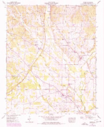
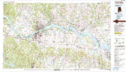
19 topographic sheets cover this place, the earliest surveyed in 1924 and the latest in 1986. It stands in the Cloverdale census division. It lies in ZIP code area 35633. It stands on Greenbrier Branch. The Survey maps it on the Threet quadrangle. It stands 597 feet above sea level.
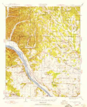
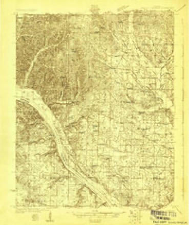
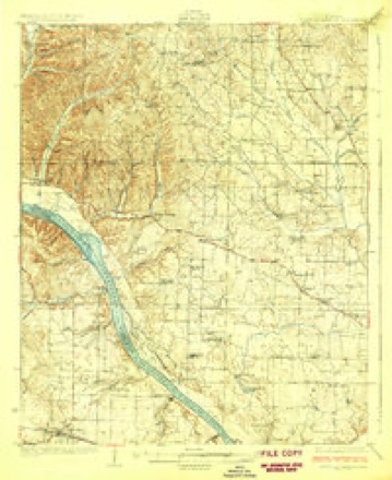
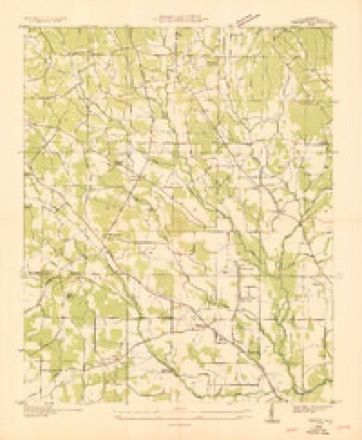
Topographic sheets covering this place
10 surveys from 19 printed sheetsMatched by testing this settlement's coordinate against the published boundary of every sheet in the United States Geological Survey's historical collection. Each opens the scanned sheet at the Survey.
- 1924 USGS Gravelly Springs quadrangle1:62500
- 1924 USGS Gravelly Springs quadrangle1:48000
- 1926 USGS Gravelly Springs quadrangle1:62500, 2 printings
- 1936 USGS Threet quadrangle1:24000
- 1954 USGS Threet quadrangle1:24000, 4 printings
- 1956 USGS Gadsden quadrangle1:250000, 3 printings
- 1958 USGS Gadsden quadrangle1:250000
- 1960 USGS Gadsden quadrangle1:250000, 2 printings
- 1963 USGS Gadsden quadrangle1:250000
- 1986 USGS Tuscumbia quadrangle1:100000, 3 printings




Fires near this place
201 since 1995Regional context, not property-specific evidence. The federal wildfire occurrence database lists 201 fires within 5 miles of Cloverdale between 1995 and 2019, burning about 952 acres in total. 1 started naturally. 82 were recorded as arson. Distance is straight-line from the map coordinates, so a fire counted here may appear on a neighbouring settlement's page as well.
| Reported cause | Fires |
|---|---|
| Arson/incendiarism | 82 |
| Debris and open burning | 67 |
| Equipment and vehicle use | 24 |
| Missing data/not specified/undetermined | 14 |
| Smoking | 10 |
| Recreation and ceremony | 2 |
| Natural | 1 |
| Misuse of fire by a minor | 1 |
The most recent of them, most recent first, with the day each was reported and the service that recorded it.
| Date | Cause | Size | Reported by | Name on the report |
|---|---|---|---|---|
| 9 September 1998 | Debris and open burning | 1.0 acres | Alabama Forestry Commission | not named |
| 8 September 1998 | Arson/incendiarism | under an acre | Alabama Forestry Commission | not named |
| 6 September 2002 | Arson/incendiarism | under an acre | Alabama Forestry Commission | not named |
| 6 September 1998 | Equipment and vehicle use | under an acre | Alabama Forestry Commission | not named |
| 6 September 1998 | Equipment and vehicle use | under an acre | Alabama Forestry Commission | not named |
| 5 September 1999 | Arson/incendiarism | 4.5 acres | Alabama Forestry Commission | not named |
| 5 September 1998 | Arson/incendiarism | 1.0 acres | Alabama Forestry Commission | not named |
| 30 September 2002 | Arson/incendiarism | under an acre | Alabama Forestry Commission | not named |
Settlements close enough to share some of these fires:
Storms near this place
59 since 1995Regional context, not property-specific evidence. The National Weather Service names Cloverdale in 59 storm reports between 1995 and 2025: 44 thunderstorm wind, 12 hail, 2 lightning, 1 flash flood. The reports record 2 injuries. Each account below is quoted exactly as the forecast office filed it, from the NOAA Storm Events Database, and each date opens the federal record of that event.
| When | Event | Place named | Harm | What the report says |
|---|---|---|---|---|
| May 2006 | Lightning | Cloverdale | 2 hurt | A lightning strike injured two females inside their Cloverdale residence located in Lauderdale County. It is unknown if this strike was direct or indirect, but no apparent damage was observed to the residence. The victims were 55 and 18 years of age, complained of general numbness and also pains in their legs. They were transported to a local hospital for treatment. |
| August 2000 | Thunderstorm Wind | Cloverdale | $60,000 | Dime size hail was reported in Cloverdale. The Cloverdale School suffered significant damage when part of the roof and some walls collapsed. |
| August 2011 | Thunderstorm Wind | Cloverdale | $30,000 | Brief thunderstorm winds struck the Cloverdale area around 6 am. The winds knocked down 100 year old oak trees and tore a metal roof from a nearby building, and wrapped metal debris around trees. An adjacent barn was nearly destroyed. |
| June 1995 | Thunderstorm Wind | Cloverdale | $15,000 | Trees were reportedly blown down and a roof was damaged by thunderstorm wind in the Cloverdale area. |
| July 2010 | Thunderstorm Wind | Cloverdale | $10,000 | Several trees were knocked down in a swath 5 to 10 miles northwest and north of Florence. Time estimated by radar. |
| June 2011 | Thunderstorm Wind | Cloverdale | $8,000 | Trees were blown down. |
| August 2009 | Thunderstorm Wind | Cloverdale | $8,000 | Trees were blown down near CR 11 in the Cloverdale community. |
| May 1998 | Thunderstorm Wind | Cloverdale | $8,000 | no account filed |
| June 2021 | Thunderstorm Wind | Cloverdale | $7,500 | Damage photos via social media shared by broadcast media indicated a steel open barn with the roof collapsed. Also, a large tree was uprooted. Additional tree debris was blown onto a house and across a yard. |
| June 2021 | Thunderstorm Wind | Cloverdale | $5,000 | Multiple trees were knocked down onto houses at 16326 CR 8. Time estimated by radar. |
| July 2012 | Thunderstorm Wind | Cloverdale | $5,000 | Numerous trees were blown down at the intersection of County Roads 8 and 157. Time estimated by radar. |
| July 2011 | Thunderstorm Wind | Cloverdale | $5,000 | Multiple trees were knocked down. |
| May 2010 | Thunderstorm Wind | Cloverdale | $5,000 | A tree was blown down at the intersection of CR 8 and highway 157. |
| October 1996 | Hail | Cloverdale | $5,000 | no account filed |
| July 2011 | Lightning | Cloverdale | $4,000 | Lightning struck a power pole, damaging some of its power lines. |
| April 2025 | Thunderstorm Wind | Cloverdale | $3,000 | A tree and powerlines were knocked down at 1834 CR 8. |
| February 2011 | Thunderstorm Wind | Cloverdale | $2,000 | A tree was blown down and fell on a house just west of Cloverdale. |
| April 2011 | Thunderstorm Wind | Cloverdale | $2,000 | A tree was knocked down onto a home at the 9600 block of Highway 157. |
| June 2011 | Thunderstorm Wind | Cloverdale | $2,000 | A tree was blown down at the intersection of highway 157 and CR 8. |
| July 2009 | Thunderstorm Wind | Cloverdale | $2,000 | A tree was blown down at the intersection of highway 157 and CR 6 near Cloverdale. |
| June 1995 | Thunderstorm Wind | Cloverdale | $2,000 | Several large trees were reported down at Cloverdale, several blocking a road. |
| June 2022 | Thunderstorm Wind | Cloverdale | $1,000 | A tree was reported down about a half of a mile from CR 11 on CR 273 blocking both lanes of traffic. |
| June 2021 | Thunderstorm Wind | Cloverdale | $1,000 | Multiple trees were knocked down on CR 15 near CR 8. Time estimated by radar. |
| June 2021 | Thunderstorm Wind | Cloverdale | $1,000 | Trees were knocked down on CR 154 near the intersection of CR 15, blocking all lanes. Time estimated by radar. |
| June 2021 | Thunderstorm Wind | Cloverdale | $1,000 | A report from ALGO of trees down in the roadway with lane blockage on AL Highway 157 at CR 265 in Cloverdale. |
| April 2019 | Thunderstorm Wind | Cloverdale | $1,000 | Trees were knocked down on CR 8 in Zip City. |
| June 2015 | Thunderstorm Wind | Cloverdale | $1,000 | A seven inch diameter tree was downed by thunderstorm winds at Lauderdale County Road 266 and County Road 139, about two miles northeast of Cloverdale, Alabama. |
| June 2018 | Thunderstorm Wind | Cloverdale | $500 | A tree was knocked down into power lines at 6220 CR 8. |
| July 2016 | Thunderstorm Wind | Cloverdale | $500 | Tree downed in 12000 block hwy 157. |
| July 2016 | Thunderstorm Wind | Cloverdale | $500 | Tree down near cr 8 and cr 139. |
| July 2014 | Hail | Cloverdale | $500 | Quarter size hail damaged a car windshield. |
| April 2011 | Thunderstorm Wind | Cloverdale | $500 | A tree was knocked down by thunderstorm winds on County Road 273. |
| April 2011 | Thunderstorm Wind | Cloverdale | $500 | A tree was knocked down by thunderstorm winds at the creek on County Road 265. |
| April 2011 | Thunderstorm Wind | Cloverdale | $500 | A tree was knocked down onto the road at 1327 County Road 25. |
| June 2021 | Thunderstorm Wind | Cloverdale | $200 | A tree was knocked down on Highway 157 at CR 265. Time estimated by radar. |
| June 2021 | Thunderstorm Wind | Cloverdale | $200 | A tree was knocked down near 1640 CR 8 and blocking the westbound lane. Time estimated by radar. |
| February 2020 | Thunderstorm Wind | Cloverdale | $200 | A tree was knocked onto power lines across the CR 11 bridge north of CR 118. |
| June 2019 | Thunderstorm Wind | Cloverdale | $200 | A tree was knocked down at the 1300 block of CR 11. |
| December 2018 | Thunderstorm Wind | Cloverdale | $200 | A tree was knocked down on CR 8 east of CR 139 near the bridge. |
| January 2023 | Hail | Cloverdale | - | Quarter sized hail was reported in Florence. |
| June 2022 | Flash Flood | Cloverdale | - | County Road 11 flooded between County Road 118 and County Road 273. Depth of water unknown. |
| September 2020 | Thunderstorm Wind | Cloverdale | - | Trees and power lines were knocked down. |
| March 2017 | Thunderstorm Wind | Cloverdale | - | A tree was knocked down across the road at the intersection of CR 118 and CR 11. |
| April 2015 | Thunderstorm Wind | Cloverdale | - | A few trees were downed due to thunderstorm winds. A fatality occurred along Highway 157 after a vehicle struck a fallen tree. |
| March 2012 | Hail | Cloverdale | - | Dime to nickel sized hail was reported on County Road 8 near Cloverdale. |
| March 2012 | Hail | Cloverdale | - | Golf ball sized hail was reported on Cloverdale Road at the intersection with County Road 8. |
| May 2010 | Hail | Cloverdale | - | Hail up to the size of nickels was reported in Cloverdale. |
| June 2007 | Thunderstorm Wind | Cloverdale | - | A small tree was blown down on County Road 8. |
| April 2007 | Thunderstorm Wind | Cloverdale | - | Trees were blown down near highway 157 and County Road 41 as a squall line moved across the region. |
| August 2006 | Thunderstorm Wind | Cloverdale | - | Strong winds produced minor roof damage was reported at a convenience store at Highway 157 and County Road 8. |
| February 2005 | Hail | Cloverdale | - | Penny size hail reported. |
| June 2005 | Thunderstorm Wind | Cloverdale | - | A few large limbs and power lines were blown down. |
| June 2005 | Thunderstorm Wind | Cloverdale | - | A large tree was blown down along Highway 10 near Cloverdale. |
| August 2005 | Hail | Cloverdale | - | Quarter size hail was reported. |
| August 2005 | Hail | Cloverdale | - | Nickel size hail was reported. |
| May 2003 | Hail | Cloverdale | - | tennis ball size hail reported. |
| July 2003 | Thunderstorm Wind | Cloverdale | - | several trees blown down. |
| May 2002 | Hail | Cloverdale | - | Nickel size hail was reported in Cloverdale. |
| May 1998 | Hail | Cloverdale | - | no account filed |
Nearest settlements
The eight closest, with where each one stands in the county. Distances are straight-line, computed from the Geographic Names Information System coordinates.
| Map | Place | Distance | Sheets |
|---|---|---|---|
| Johnson Crossroads | 1.9 miles | 19 | |
| Fairview | 2.5 miles | 17 | |
| Sullivan Crossroads | 3.1 miles | 19 | |
| Threet | 3.2 miles | 19 | |
| Central Heights | 3.2 miles | 19 | |
| Melvin (historical) | 3.9 miles | 19 | |
| Sharps Mill | 4.1 miles | 17 | |
| Bethel Grove | 4.3 miles | 17 |
Elsewhere
Matched on this settlement's Geographic Names Information System number rather than its name, so it cannot be a different place of the same name in another state.
| Wikipedia article on Cloverdale | An encyclopaedic summary. Its text is share-alike, so it is linked here rather than copied. |
| Wikidata item Q5135928 | The structured record the population and elevation above come from. Public domain (CC0). |
Provenance
This settlement is recorded in the Geographic Names Information System as feature 116285. The sheet list is computed by point-in-boundary test against the United States Geological Survey's historical topographic inventory. Both are works of the United States government and carry no copyright under 17 U.S.C. 105.
Wildfire. Short, Karen C. 2022. Spatial wildfire occurrence data for the United States, 1992-2020 [FPA_FOD_20221014]. 6th Edition. Fort Collins, CO: Forest Service Research Data Archive. https://doi.org/10.2737/RDS-2013-0009.6 Collected with United States Government funding and usable without additional permissions or fees.
Storms. NOAA National Centers for Environmental Information, Storm Events Database https://www.ncei.noaa.gov/stormevents/ A work of the United States government, no copyright under 17 U.S.C. 105. Narratives are quoted verbatim from the National Weather Service report and are not edited or summarised.