 Block
Fyffe, Alabama
21 topographic sheets cover this place, the earliest surveyed in 1893 and the latest in 1981. It stands in the Fyffe census division. It lies in ZIP code area 35971. It stands on Thompson Branch. The Survey maps it on the Fyffe quadrangle. 967 people lived here at the 2020 count. It stands 1,289 feet above sea level.
Population over time
3 figuresFyffe fell from 971 to 967 between 2000 and 2020. These are the recorded population figures Wikidata holds for this place, reached through the Geographic Names Information System number this page is keyed on rather than by name, so they belong to this place and not to another of the same name. Most are census counts, but not all are: an early figure may be a founding or settlement estimate, and an estimate published within five years of a census is left out. The change column is computed, and is left blank where more than 20 years separate a figure from the one before it, because a gap that long is not a change between two counts.
| Year | People | Change |
|---|---|---|
| 2000 | 971 | |
| 2010 | 1,018 | +47 (+5%) |
| 2020 | 967 | -51 (-5%) |
Topographic sheets covering this place
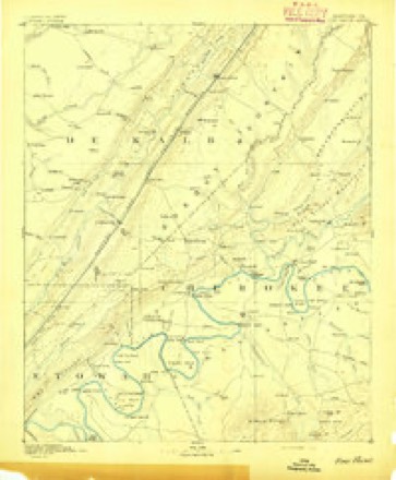
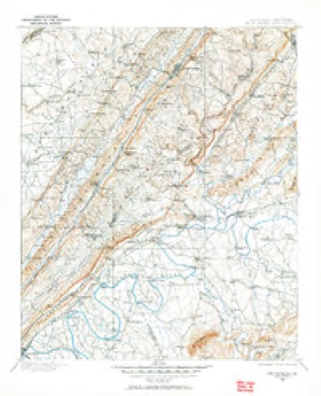
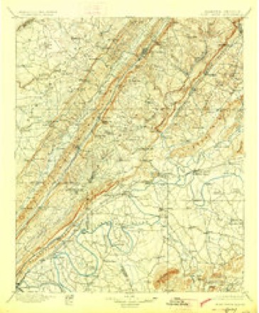
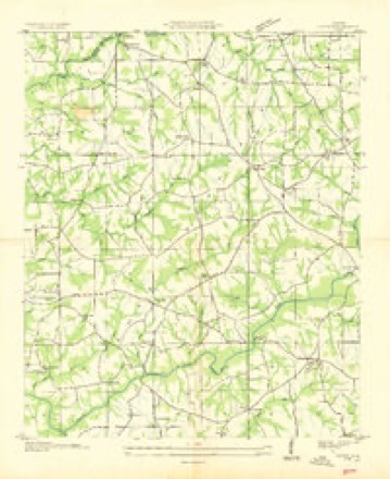
11 surveys from 21 printed sheetsMatched by testing this settlement's coordinate against the published boundary of every sheet in the United States Geological Survey's historical collection. Each opens the scanned sheet at the Survey.
- 1893 USGS Fort Payne quadrangle1:125000
- 1898 USGS Fort Payne quadrangle1:125000
- 1900 USGS Fort Payne quadrangle1:125000, 6 printings
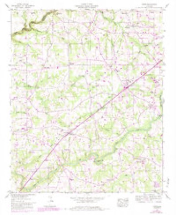
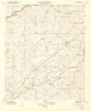
- 1936 USGS Fyffe quadrangle1:24000
- 1946 USGS Fyffe quadrangle1:24000, 2 printings
- 1949 USGS Fyffe quadrangle1:24000, 2 printings
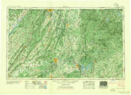
- 1955 USGS Rome quadrangle1:250000
- 1958 USGS Rome quadrangle1:250000, 3 printings
- 1961 USGS Rome quadrangle1:250000
- 1963 USGS Rome quadrangle1:250000
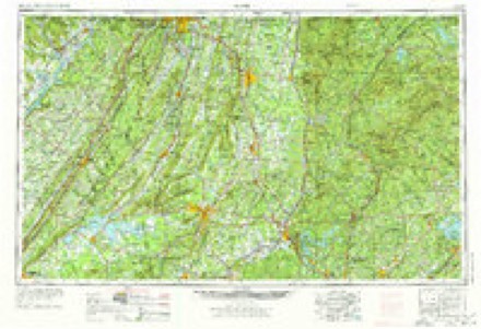
- 1981 USGS Rome quadrangle1:100000, 2 printings
Fires near this place
86 since 1995Regional context, not property-specific evidence. The federal wildfire occurrence database lists 86 fires within 5 miles of Fyffe between 1995 and 2019, burning about 519 acres in total. 2 started naturally. 11 were recorded as arson. Distance is straight-line from the map coordinates, so a fire counted here may appear on a neighbouring settlement's page as well.
| Reported cause | Fires |
|---|---|
| Debris and open burning | 33 |
| Missing data/not specified/undetermined | 31 |
| Arson/incendiarism | 11 |
| Equipment and vehicle use | 6 |
| Recreation and ceremony | 3 |
| Natural | 2 |
The most recent of them, most recent first, with the day each was reported and the service that recorded it.
| Date | Cause | Size | Reported by | Name on the report |
|---|---|---|---|---|
| 9 September 1995 | Recreation and ceremony | 6.0 acres | Alabama Forestry Commission | not named |
| 7 September 2019 | Equipment and vehicle use | under an acre | Alabama Forestry Commission | 20190907-5 |
| 6 September 2006 | Arson/incendiarism | 5.0 acres | Alabama Forestry Commission | not named |
| 5 September 2019 | Missing data/not specified/undetermined | 1.0 acres | Alabama Forestry Commission | 20190905-7 |
| 3 September 2018 | Missing data/not specified/undetermined | under an acre | Alabama Forestry Commission | 20180903-3 |
| 29 September 2019 | Missing data/not specified/undetermined | 3.0 acres | Alabama Forestry Commission | 20190929-20 |
| 28 September 2016 | Debris and open burning | under an acre | Alabama Forestry Commission | 20160928-17 |
| 28 September 2016 | Debris and open burning | under an acre | Alabama Forestry Commission | 20160928-43 |
Settlements close enough to share some of these fires:
Storms near this place
29 since 1999Regional context, not property-specific evidence. The National Weather Service names Fyffe in 29 storm reports between 1999 and 2025: 20 thunderstorm wind, 5 hail, 2 tornado, 2 flash flood. The reports record 1 injury. Each account below is quoted exactly as the forecast office filed it, from the NOAA Storm Events Database, and each date opens the federal record of that event.
| When | Event | Place named | Harm | What the report says |
|---|---|---|---|---|
| March 2021 | Thunderstorm Wind | Fyffe | 1 hurt | Wind speeds of up to 85 mph were estimated in a swath of damage along Campbell Street, crossing Graves Street to near Church Street. The metal roof deck of a home was uplifted on Campbell where one person was injured by debris. Downwind, a copule of large pine trees were snapped. Further downstream across Graves Street, the outfield fence of a softball field was mangled and destroyed. |
| November 2001 | Tornado (F2) | Fyffe | $100,000 | The tornado first touched down at 2:25 pm along CR 65 southwest of Peaks Corner causing tree damage. The tornado tracked northeast to CR 52 where a small barn was destroyed. As the tornado continued northeastward, several chicken barns received heavy damage, and many trees were snapped off at mid-trunk. A narrow path of damage continued northeast removing the roof from a cinder-block building, knocking down a wall, and moving a small pickup truck several feet. The tornado continued northeast destroying a trailer home, snapping off trees, and damaging more chicken barns along CR 44. The tornado descended a steep hill into the Pine Ridge community damaging a church before it ended. The width of the tornado was approximately 100 yards wide with a track length of 7.1 miles. There were no injuries reported with this tornado. Beg: 34 23.227/85 53.365 End: 34 27.040/85 47.568 |
| July 2012 | Thunderstorm Wind | Fyffe | $50,000 | A roof of a large tractor repair shop was blown off and the remainder of the building sustained substantial structural damage. The building was located near the intersection of County Road 426 and County Road 540. |
| July 2012 | Thunderstorm Wind | Fyffe | $20,000 | A barn lost its roof due to thunderstorm winds. The roof was laying across County Road 538 near Grove Oak. |
| April 1999 | Tornado (F0) | Fyffe | $14,000 | What was believed to be a small, weak tornado touched down on CR 50 at the Bailey farm damaging a chicken house and a barn, and taking some shingles from a house. |
| June 2010 | Thunderstorm Wind | Fyffe | $10,000 | An outflow boundary produced wind gusts that caused minor roof damage to a barn and a pavillion. A few small trees were downed on Graves Street in Fyffe. |
| April 2005 | Thunderstorm Wind | Fyffe | $10,000 | A barn along County Road 502 sustained wind damage. |
| August 2002 | Thunderstorm Wind | Fyffe | $10,000 | A motor home that was being towed on SR 75 was overturned by damaging thunderstorms winds. |
| June 2011 | Thunderstorm Wind | Fyffe | $8,000 | Trees were blown down blocking the road. |
| June 2010 | Thunderstorm Wind | Fyffe | $6,000 | Several trees were blown down along CR 523. |
| June 2013 | Thunderstorm Wind | Fyffe | $5,000 | A roof was blown off of a sawmill along County Roads 47 and 92 southwest of Powell. |
| June 2013 | Thunderstorm Wind | Fyffe | $5,000 | Numerous trees were blown down in the Antioch community. A barn sustained heavy damage and a couple of fields of corn were blown down. |
| July 2010 | Thunderstorm Wind | Fyffe | $5,000 | Winds damaged a barn near Fyffe. |
| April 2025 | Thunderstorm Wind | Fyffe | $2,000 | A tree was knocked down and blocking the roadway on Paul Benefield Lane. |
| June 2013 | Thunderstorm Wind | Fyffe | $2,000 | Several trees were knocked down in Fyffe along Highway 75. |
| July 2000 | Hail | Fyffe | $1,000 | Quarter size hail was reported in Fyffe. |
| July 1999 | Thunderstorm Wind | Fyffe | $1,000 | Windows were blown out at the Fyffe Police Department. |
| February 2025 | Flash Flood | Fyffe | - | Dekalb County EMA reports a bridge washed out and the road closed on CR 1986. |
| March 2021 | Thunderstorm Wind | Fyffe | - | An equipment shed was destroyed in the town of Fyffe. |
| August 2020 | Thunderstorm Wind | Fyffe | - | Multiple trees were knocked down in Fyffe. |
| March 2017 | Thunderstorm Wind | Fyffe | - | A barn was damaged on County Road 50 near Fyffe. |
| July 2017 | Thunderstorm Wind | Fyffe | - | Several trees were knocked down along Highway 75 from Fyffe to Rainsville. |
| July 2017 | Thunderstorm Wind | Fyffe | - | A few trees and power lines were knocked down between Fort Payne and Fyffe along Highway 75 and CR 866. |
| April 2011 | Thunderstorm Wind | Fyffe | - | Damaging straight-line winds knocked down numerous trees and powerlines in Fyffe and surrounding communities such as Dog Town, Tenbroeck and Peaks Corner. |
| June 2005 | Hail | Fyffe | - | Penny size hail was reported in Bucks Pocket State Park. |
| June 2003 | Flash Flood | Fyffe | - | flash flooding with culvert washed out on county road 61. |
| July 2002 | Hail | Fyffe | - | Quarter size hail was reported in Fyffe. |
| April 2000 | Hail | Fyffe | - | Dime size hail was observed in Fyffe. |
| May 1999 | Hail | Fyffe | - | Nickel size hail fell between the cities of Fyffe and Crossville. |
Nearest settlements
The eight closest, with where each one stands in the county. Distances are straight-line, computed from the Geographic Names Information System coordinates.
| Map | Place | Distance | Sheets |
|---|---|---|---|
| Luttrell | 1.7 miles | 21 | |
| Guest | 2.3 miles | 21 | |
| Gibson Crossroads | 2.8 miles | 21 | |
| Lydia | 3.0 miles | 21 | |
| Moores Crossroads | 3.3 miles | 21 | |
| Lands Crossroads | 3.4 miles | 21 | |
| McKestes | 3.4 miles | 21 | |
| Pope | 3.7 miles | 21 |
Elsewhere
Matched on this settlement's Geographic Names Information System number rather than its name, so it cannot be a different place of the same name in another state.
| Wikipedia article on Fyffe | An encyclopaedic summary. Its text is share-alike, so it is linked here rather than copied. |
| Wikidata item Q67253 | The structured record the population and elevation above come from. Public domain (CC0). |
Provenance
This settlement is recorded in the Geographic Names Information System as feature 150246. The sheet list is computed by point-in-boundary test against the United States Geological Survey's historical topographic inventory. Both are works of the United States government and carry no copyright under 17 U.S.C. 105.
Wildfire. Short, Karen C. 2022. Spatial wildfire occurrence data for the United States, 1992-2020 [FPA_FOD_20221014]. 6th Edition. Fort Collins, CO: Forest Service Research Data Archive. https://doi.org/10.2737/RDS-2013-0009.6 Collected with United States Government funding and usable without additional permissions or fees.
Storms. NOAA National Centers for Environmental Information, Storm Events Database https://www.ncei.noaa.gov/stormevents/ A work of the United States government, no copyright under 17 U.S.C. 105. Narratives are quoted verbatim from the National Weather Service report and are not edited or summarised.