 Block
Ten Broeck, Alabama
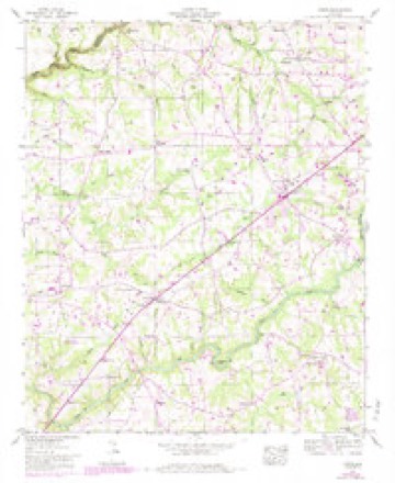
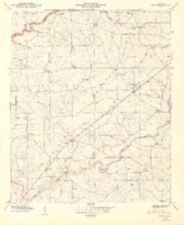
21 topographic sheets cover this place, the earliest surveyed in 1893 and the latest in 1981. It stands in the Fyffe census division. It lies in ZIP code area 35971. It stands on South Fork Blackoak Creek. The Survey maps it on the Fyffe quadrangle. It stands 1,188 feet above sea level.
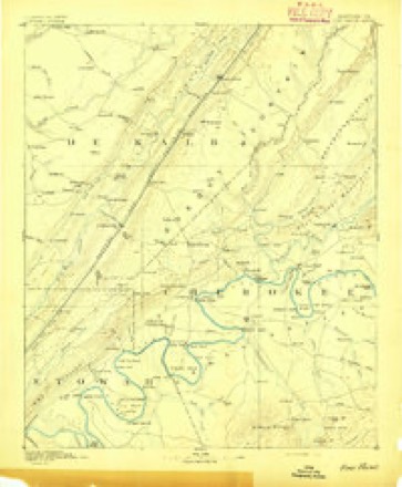
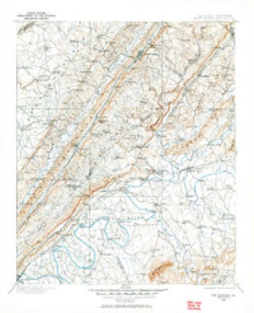
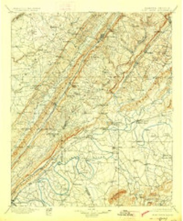
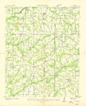
Topographic sheets covering this place
11 surveys from 21 printed sheetsMatched by testing this settlement's coordinate against the published boundary of every sheet in the United States Geological Survey's historical collection. Each opens the scanned sheet at the Survey.
- 1893 USGS Fort Payne quadrangle1:125000
- 1898 USGS Fort Payne quadrangle1:125000
- 1900 USGS Fort Payne quadrangle1:125000, 6 printings
- 1936 USGS Fyffe quadrangle1:24000
- 1946 USGS Fyffe quadrangle1:24000, 2 printings
- 1949 USGS Fyffe quadrangle1:24000, 2 printings
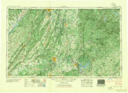
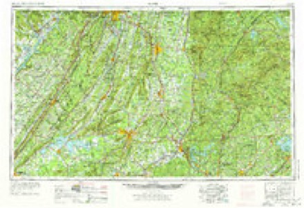
- 1955 USGS Rome quadrangle1:250000
- 1958 USGS Rome quadrangle1:250000, 3 printings
- 1961 USGS Rome quadrangle1:250000
- 1963 USGS Rome quadrangle1:250000
- 1981 USGS Rome quadrangle1:100000, 2 printings
Fires near this place
68 since 1996Regional context, not property-specific evidence. The federal wildfire occurrence database lists 68 fires within 5 miles of Ten Broeck between 1996 and 2020, burning about 425 acres in total. 1 started naturally. 9 were recorded as arson. Distance is straight-line from the map coordinates, so a fire counted here may appear on a neighbouring settlement's page as well.
| Reported cause | Fires |
|---|---|
| Missing data/not specified/undetermined | 26 |
| Debris and open burning | 23 |
| Arson/incendiarism | 9 |
| Equipment and vehicle use | 6 |
| Other causes | 1 |
| Fireworks | 1 |
| Natural | 1 |
| Recreation and ceremony | 1 |
The most recent of them, most recent first, with the day each was reported and the service that recorded it.
| Date | Cause | Size | Reported by | Name on the report |
|---|---|---|---|---|
| 7 September 2019 | Equipment and vehicle use | under an acre | Alabama Forestry Commission | 20190907-5 |
| 4 September 2002 | Debris and open burning | 4.0 acres | Alabama Forestry Commission | not named |
| 30 September 2016 | Debris and open burning | 1.2 acres | Alabama Forestry Commission | 20160930-17 |
| 3 September 2018 | Missing data/not specified/undetermined | under an acre | Alabama Forestry Commission | 20180903-3 |
| 28 September 2016 | Missing data/not specified/undetermined | 4.0 acres | Alabama Forestry Commission | 20160928-38 |
| 27 September 2014 | Missing data/not specified/undetermined | under an acre | Alabama Forestry Commission | NOR-20140927-001 |
| 25 September 2014 | Arson/incendiarism | 10 acres | Alabama Forestry Commission | NOR-20140925-002 |
| 24 September 2019 | Debris and open burning | 6.0 acres | Alabama Forestry Commission | 20190924-22 |
Settlements close enough to share some of these fires:
Storms near this place
12 since 2011Regional context, not property-specific evidence. The National Weather Service names Ten Broeck in 12 storm reports between 2011 and 2025: 7 thunderstorm wind, 3 tornado, 1 flash flood, 1 lightning. The reports record 25 deaths. Each account below is quoted exactly as the forecast office filed it, from the NOAA Storm Events Database, and each date opens the federal record of that event.
| When | Event | Place named | Harm | What the report says |
|---|---|---|---|---|
| April 2011 | Tornado (EF5) | Ten Broeck | 25 killed | A violent long track tornado began in the Lakeview community northeast of Geraldine before tracking northeastward, generally parallel to and just east of State Route 75. Along this line, the tornado passed through Fyffe, Rainsville, Sylvania, and eventually into northern DeKalb County south of the Cartersville community, killing 25 people. On the first day of surveys, the survey team noticed initial damage in the Lakeview community where the path width was generally around 50 yards. This initial damage included mostly felled and snapped trees and structural damage to small buildings. Extensive damage was noted especially in Rainsville and Sylvania where the path width was estimated to over 1/2 mile wide. Damage in Rainsville included houses that were completely removed from foundations, with debris scattered for about one mile. Near this location, trees were debarked and a few mobile homes were completely destroyed, with debris strewn for about a mile downstream.||A narrow corridor of intense damage extended from Skaggs Road to Lingerfeldt Road (also known as County Road 180), extending toward County Road 514. Along Skaggs Road, a stone house was completely obliterated with much of the interior debris strewn well away from the structure. A supporting large cement stone pillar was ripped completely out of the ground. Another home along Skaggs Road was also leveled completely to the ground. The NOAA overflight showed significant ground scarring in this area and a walk through the nearby fields showed large pot marks and other sections of disturbed ground. ||Slightly northeast along Lingerfeldt Road, numerous homes were leveled completely to their foundation with vehicles and debris strewn for hundreds of feet. Overhead photos and follow-up visual confirmation revealed a mangled vehicle tossed well into a ravine and resting up in the remainder of trees. At 1608 Lingerfeldt Road/County Road 180, a large two story brick home was completely obliterated with several of the supporting anchors ripped of the ground. A concrete porch was ripped off with pieces strewn up to 150 yards. A section of the asphalt driveway was pulled up. In addition, an anchored liberty safe weighing 800 pounds was pulled off its anchorage and thrown into a wooded area 600 feet away. When found, the safe's door had been ripped open and completely off. A large pick-up truck at this residence was found mangled in pieces over 250 yards away in the same wooded area. The residents of the home survived in a nearby storm pit. Of note, the storm pit was partially exposed by the tornado with dirt being sucked up and pulled away around the opening. Next door, a mobile home was completely disintegrated. The residents of the mobile there also survived in a storm pit. The section of damage from Skaggs Road to Lingerfeldt Road near the intersection with Crow Lane was deemed to be EF-5 intensity. Severe damage with high end EF-4 damage was noted in a corridor from County Road 515 through a neighborhood along County Road 441. In the east and south ends of the neighborhood, many one and two story homes were leveled to their foundation with debris scattered some distance. Several cars were thrown a large distance in this area. There was evidence of ground scarring as well as some sidewalk pavement pulled up in this location. However, some of the homes in this area appeared to be pushed off their foundation initially with limited anchorage. ||In the Sylvania community, similar situation occurred with houses completely removed from foundations and debris blown far downstream. Some of these houses were connected to their foundations with anchor bolts and foundation straps, indicating a stronger construction of the homes. ||Tornado damage continued from the Blake community, intersecting County Road 27, running parallel between State Highway 75 and Interstate 59 through Henager, Ider, to south of Cartersville. ||In the Blake community, the tornado path width was estimated to be one half to three quarters of a mile. Along County Road 27 just southeast of Sylvania, significant damage was observed . All exterior and interior walls of several homes were completely destroyed with partial block and mortar foundations remaining. In one instance, a concrete slab that served as a porch was displaced a few feet and broken in half. Some hardwood trees in the area were stripped with no stubs of any branches remaining and were partially debarked. The Mountain View Baptist Church sustained significant damage. An old, one-story portion of the church dating back to 1902 and constructed of a brick and mortar exterior on wood frame walls was completely destroyed. A recent two-story addition to the church was constructed in 2004 and consisting of similar building materials was partially destroyed, with most exterior walls and nearly all interior walls fallen. A concrete block and mortar foundation was all that remained of a hallway adjoining the two buildings. |
| July 2012 | Thunderstorm Wind | Ten Broeck | $50,000 | A hay barn was destroyed by thunderstorm winds. |
| July 2012 | Thunderstorm Wind | Ten Broeck | $30,000 | A home had moderate roof damage and a shed had its roof blown off by thunderstorm winds. |
| August 2012 | Lightning | Ten Broeck | $25,000 | Lightning caused a house fire between Fyffe and Powell, Alabama. |
| July 2012 | Thunderstorm Wind | Ten Broeck | $20,000 | A tree was blown down onto a home, which also suffered roof damage from thunderstorm winds. |
| March 2024 | Thunderstorm Wind | Ten Broeck | $10,000 | Damage was reported to two barn structures, with metal roofing blown off and a wall caved in. Time estimated by radar. |
| April 2025 | Thunderstorm Wind | Ten Broeck | $5,000 | A power pole was broken with power lines across the roadway at 1370 CR 342. |
| August 2024 | Thunderstorm Wind | Ten Broeck | $3,000 | Trees were reported down near Fyffe. Time was estimated from radar. |
| December 2021 | Thunderstorm Wind | Ten Broeck | $500 | A tree was knocked down on CR 418 in the Tenbroeck community. |
| March 2024 | Tornado (EF0) | Ten Broeck | - | This tornado touched down just south of County Road 72 in Tenbroeck, Alabama. There was damage to the roof of a chicken house where roof panels were peeled off the structure. The structure is oriented from west to east with the roof panel damage oriented south to north indicating winds opposite of the primary storm motion. A second area of damage was to a pole barn that was pushed over along with the roof breaking off of its 4x4 support beams. The roof materials were spread to the east northeast which would have been away from the storm motion. A third area of damage was to a small barn which had several roof panels blown off. The structure was also leaning from west to east. The tornado lifted just south of the small barn with no other damage found. |
| March 2013 | Tornado (EF2) | Ten Broeck | - | A tornado touched down along County Road 539 north of County Road 50 in the Fyffe and Shiloh communities. Minor tree damage was noted in this area. An unoccupied chicken house also sustained damage. Near the intersection of County Roads 50 and 43, a restaurant sustained roof damage and a carport was flattened. Further east, another large farm building sustained major damage. Along Highway 50, additional chicken houses were damaged or destroyed along with trees snapped and uprooted.||The most significant damage occurred along Traylor Street just north of Highway 50/Grove Oak Road. Two large, well constructed, farm buildings were completely destroyed. One of these contained metal trusses and the posts were ripped out of the ground. Debris was thrown several hundred yards and large debris was embedded into the ground. A nearby home sustained minor structural damage. The path widened to 350 yards with estimated maximum wind speeds of 120 mph. The tornado began to narrow and weaken as it moved further east as it crossed County Roads 523 and 578. The tornado lifted near County road 72/Tumlin Road norht of Highway 75. |
| August 2012 | Flash Flood | Ten Broeck | - | Several inches of water was over the road along County Road 43 between Green's Chapel and Matthew's Bridge between Fyffe and Grove Oak, Alabama. |
Nearest settlements
The eight closest, with where each one stands in the county. Distances are straight-line, computed from the Geographic Names Information System coordinates.
| Map | Place | Distance | Sheets |
|---|---|---|---|
| Moores Crossroads | 1.8 miles | 21 | |
| Lakeview | 1.9 miles | 21 | |
| Chigger Hill | 2.1 miles | 22 | |
| South Hill | 2.8 miles | 22 | |
| Hix (historical) | 3.1 miles | 21 | |
| Luttrell | 3.2 miles | 21 | |
| Thirtynine (historical) | 3.4 miles | 22 | |
| Gibson Crossroads | 3.6 miles | 21 |
Elsewhere
Matched on this settlement's Geographic Names Information System number rather than its name, so it cannot be a different place of the same name in another state.
| Wikipedia article on Ten Broeck | An encyclopaedic summary. Its text is share-alike, so it is linked here rather than copied. |
| Wikidata item Q22058577 | The structured record the population and elevation above come from. Public domain (CC0). |
Provenance
This settlement is recorded in the Geographic Names Information System as feature 155269. The sheet list is computed by point-in-boundary test against the United States Geological Survey's historical topographic inventory. Both are works of the United States government and carry no copyright under 17 U.S.C. 105.
Wildfire. Short, Karen C. 2022. Spatial wildfire occurrence data for the United States, 1992-2020 [FPA_FOD_20221014]. 6th Edition. Fort Collins, CO: Forest Service Research Data Archive. https://doi.org/10.2737/RDS-2013-0009.6 Collected with United States Government funding and usable without additional permissions or fees.
Storms. NOAA National Centers for Environmental Information, Storm Events Database https://www.ncei.noaa.gov/stormevents/ A work of the United States government, no copyright under 17 U.S.C. 105. Narratives are quoted verbatim from the National Weather Service report and are not edited or summarised.