 Block
Lawngate, Alabama
15 topographic sheets cover this place, the earliest surveyed in 1936 and the latest in 1986. It stands in the Athens census division. It lies in ZIP code area 35611. It stands on Beckham Branch. The Survey maps it on the Jones Crossroads quadrangle.
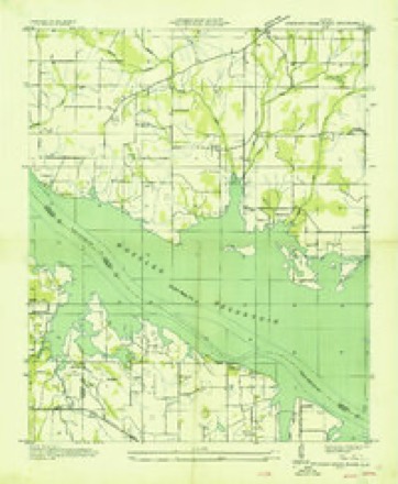
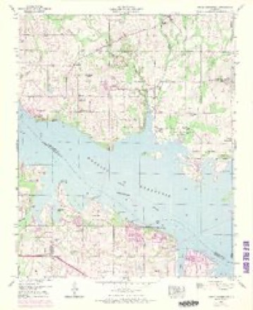
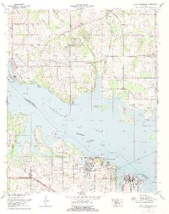
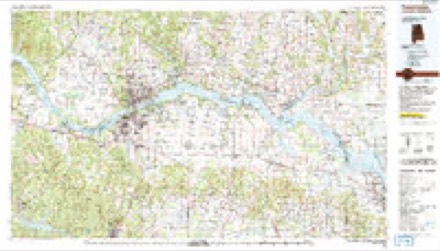
Topographic sheets covering this place
8 surveys from 15 printed sheetsMatched by testing this settlement's coordinate against the published boundary of every sheet in the United States Geological Survey's historical collection. Each opens the scanned sheet at the Survey.
- 1936 USGS Stewart Cross Roads quadrangle1:24000
- 1950 USGS Jones Crossroads quadrangle1:24000, 3 printings
- 1956 USGS Gadsden quadrangle1:250000, 3 printings
- 1958 USGS Gadsden quadrangle1:250000
- 1960 USGS Gadsden quadrangle1:250000, 2 printings
- 1963 USGS Gadsden quadrangle1:250000
- 1976 USGS Jones Crossroads quadrangle1:24000
- 1986 USGS Tuscumbia quadrangle1:100000, 3 printings




Fires near this place
70 since 1994Regional context, not property-specific evidence. The federal wildfire occurrence database lists 70 fires within 5 miles of Lawngate between 1994 and 2019, burning about 645 acres in total. None started naturally. 14 were recorded as arson. Distance is straight-line from the map coordinates, so a fire counted here may appear on a neighbouring settlement's page as well.
| Reported cause | Fires |
|---|---|
| Debris and open burning | 28 |
| Arson/incendiarism | 14 |
| Missing data/not specified/undetermined | 13 |
| Equipment and vehicle use | 7 |
| Recreation and ceremony | 5 |
| Fireworks | 1 |
| Power generation/transmission/distribution | 1 |
| Smoking | 1 |
The most recent of them, most recent first, with the day each was reported and the service that recorded it.
| Date | Cause | Size | Reported by | Name on the report |
|---|---|---|---|---|
| 25 September 2014 | Missing data/not specified/undetermined | 7.0 acres | Alabama Forestry Commission | NOR-20140925-003 |
| 24 September 2005 | Debris and open burning | 2.0 acres | Alabama Forestry Commission | not named |
| 22 September 2018 | Arson/incendiarism | under an acre | Alabama Forestry Commission | 20180922-6 |
| 22 September 2016 | Debris and open burning | 1.0 acres | Alabama Forestry Commission | 20160922-11 |
| 16 September 2019 | Equipment and vehicle use | under an acre | Alabama Forestry Commission | 20190916-8 |
| 13 September 2005 | Debris and open burning | 2.0 acres | Alabama Forestry Commission | not named |
| 12 September 2004 | Arson/incendiarism | 2.0 acres | Alabama Forestry Commission | not named |
| 11 September 2006 | Debris and open burning | 4.0 acres | Alabama Forestry Commission | not named |
Settlements close enough to share some of these fires:
Mines and quarries near this place
1 within 5 milesRegional context, not property-specific evidence. The federal mineral resources record lists 1 working within 5 miles of Lawngate: 1 unknown. None of them still produces. What was taken out: Phosphorus-Phosphates. Distance is straight-line from the map coordinates, so a quarry counted here may appear on a neighbouring settlement's page as well.
| Where | Site | Commodity | Status | Recorded |
|---|---|---|---|---|
| Monsanto Phosphate Deposit No.43 | Phosphorus-Phosphates | Unknown |
Storms near this place
16 since 2009Regional context, not property-specific evidence. The National Weather Service names Lawngate in 16 storm reports between 2009 and 2025: 4 hail, 4 tornado, 3 thunderstorm wind, 2 flood. The reports record 4 deaths and 45 injuries. Each account below is quoted exactly as the forecast office filed it, from the NOAA Storm Events Database, and each date opens the federal record of that event.
| When | Event | Place named | Harm | What the report says |
|---|---|---|---|---|
| April 2011 | Tornado (EF4) | Lawngate | 4 killed, 45 hurt, $1,000,000,000 | The violent tornado continued it's path from the Tennessee River along the Lawrence/Limestone county line northeast through Tanner and into the east Central portion of Limestone County. Homes were completely obliterated along a wide swath in the Tanner community. Nearly a dozen high tension power lines were snapped or taken to the ground in Limestone County. Concrete power poles were also snapped off at their base. A subsequent ground team, aided by a storm survey expert from the University of Alabama in Huntsville, surveyed the most intense damage in Limestone County. High end EF-3 damage was noted over a large area in eastern Limestone County along and north of the East Limestone High School. The intensity was maximized in Limestone County in the community of Tanner, with a large swath of EF-4 damage and a narrow corridor of high end EF-4 damage. Several well-constructed homes with anchor bolting were completely wiped clean. One home had the debris lofted over 300 hundred yards with large items carried completely away. Intense ground scarring was noted in this area. In addition, a large cargo container was picked up and blown approximately 600 yards and several cars were carried airborne for hundreds of yards. In all, hundreds of homes received moderate to major damage along the path with many of these being total losses. |
| June 2010 | Lightning | Lawngate | $40,000 | Lightning struck a trailer home off of Cowford road near the Tennessee River, catching it on fire. Tragically, the mobile home was ruled a total loss after the fire was extinguished. Thankfully no residents were injured or killed during the blaze. |
| July 2023 | Thunderstorm Wind | Lawngate | $500 | A tree was knocked down with partial blockage of Nuclear Plant Road, west of Hatchett Ridge. |
| April 2013 | Thunderstorm Wind | Lawngate | $500 | Thunderstorm winds knocked a tree down onto Nuclear Plant Road just west of Hatchet Ridge Road. |
| June 2021 | Thunderstorm Wind | Lawngate | $200 | A tree was knocked down off of Cowford Road in Athens. Time estimated by radar. |
| May 2025 | Tornado (EFU) | Lawngate | - | A waterspout developed over Wheeler Reservoir south of the Browns Ferry Nuclear Power Plant. The waterspout moved east-northeast|towards Round Island Creek Public Use Area crossing from Lawrence into Limestone County. At least two citizen videos from the Black Landing area confirmed the waterspout and its movement and were posted on social media. |
| February 2020 | Flash Flood | Lawngate | - | Cowford Road at Brownsferry Road is closed due to flash flooding. |
| December 2019 | Tornado (EF0) | Lawngate | - | A tornado touched down approximately 0.3 miles west of the intersection of Zelner Road and Ripley Road in southern Limestone County. Upon touchdown the tornado produced tree damage. Tracking to the northeast, the tornado produced damage to a metal barn roof along Bell Road, snapped a tree at the base, and uplifted an attached roof of a porch on a small home. Farther to the northeast, the tornado produced mainly roof and window damage in a mobile home park along the west side of Blackburn Road. On Ham Road, more extensive damage was found to a mobile home, which was pushed back about six feet, detaching it from an awning and cement parking pad. This mobile home was anchored to concrete pads that were sitting on gravel, but the mobile home was left largely intact. The tornado continued to snap trees across Evans Road and Reid Road. As the tornado approached U.S. Highway 72, it produced significant damage to a metal-sided outbuilding, while producing mainly roof and siding damage to a couple of metal building systems on the south side of U.S. Highway 72. The tornado produced damage to a couple of metal signs at a gas station located along the north side of U.S. Highway 72 at the intersection of W. Washington Street. Along W. Washington Street, tree damage continued, with some trees uprooted, including a tree that fell on a vehicle. At the intersection of W. Glenn Valley Drive and W. Washington Road, a large tree branch fell, partly on a house. The tornado appeared to lift near this point, with some minor tree damage farther to the northeast in western portions of Athens. |
| February 2019 | Flood | Lawngate | - | Cowford Road was reported impassable due to flooding. Water depth unknown. |
| December 2019 | Tornado (EF1) | Lawngate | - | A tornado started right onshore of the Wheeler Lake / Tennessee River just east of the Browns Ferry Nuclear Power Plant. The worst damage was east of the Power Plant, with snapped tree trunks, and also near Neely Hill Loop, where the roof of a home was taken off. The tornado periodically snapped or uprooted trees in between these locations before destroying a large shed just north of Tanner along U.S. Highway 31. The tornado finally lifted near Hatfield Lake Road. |
| March 2017 | Hail | Lawngate | - | Quarter sized hail was reported. |
| March 2012 | Hail | Lawngate | - | Hail to the size of quarters was reported at Browns Ferry Nuclear Power Plant. |
| May 2012 | Funnel Cloud | Lawngate | - | A brief funnel cloud was reported from a spotter traveling along Highway 24/Gordon Terry Parkway. The spotter was looking north from their location just west of Decatur. Location of the funnel cloud was estimated by radar. |
| March 2010 | Hail | Lawngate | - | Wind gusts to 35 mph and quarter size hail was reported. |
| March 2010 | Hail | Lawngate | - | Quarter size hail and wind gusts to 40 mph were reported in Ripley. |
| March 2009 | Flood | Lawngate | - | Runoff from heavy rainfall flooded area streams causing Cowford road to be closed. This road remained closed through at least 11 am. |
Nearest settlements
The eight closest, with where each one stands in the county. Distances are straight-line, computed from the Geographic Names Information System coordinates.
| Map | Place | Distance | Sheets |
|---|---|---|---|
| Lawson | 1.1 miles | 15 | |
| Paradise Shores | 2.0 miles | 15 | |
| Proctor | 2.1 miles | 15 | |
| Poplar Point | 2.4 miles | 15 | |
| Ripley | 2.9 miles | 15 | |
| Reid | 3.3 miles | 15 | |
| Turner Chapel | 4.3 miles | 15 | |
| Beechwood Acres | 4.8 miles | 15 |
Elsewhere
Matched on this settlement's Geographic Names Information System number rather than its name, so it cannot be a different place of the same name in another state.
| Wikidata item Q122567679 | The structured record the population and elevation above come from. Public domain (CC0). |
Provenance
This settlement is recorded in the Geographic Names Information System as feature 156587. The sheet list is computed by point-in-boundary test against the United States Geological Survey's historical topographic inventory. Both are works of the United States government and carry no copyright under 17 U.S.C. 105.
Wildfire. Short, Karen C. 2022. Spatial wildfire occurrence data for the United States, 1992-2020 [FPA_FOD_20221014]. 6th Edition. Fort Collins, CO: Forest Service Research Data Archive. https://doi.org/10.2737/RDS-2013-0009.6 Collected with United States Government funding and usable without additional permissions or fees.
Mines and quarries. USGS Mineral Resources Data System (MRDS) https://mrdata.usgs.gov/mrds/ A work of the United States government, no copyright under 17 U.S.C. 105.
Storms. NOAA National Centers for Environmental Information, Storm Events Database https://www.ncei.noaa.gov/stormevents/ A work of the United States government, no copyright under 17 U.S.C. 105. Narratives are quoted verbatim from the National Weather Service report and are not edited or summarised.