 Block
From the record
15 National Register listings published here.
Sources: the National Register database, National Park Service
86 topographic sheets and 9 fire insurance atlases across 1 place.
15 National Register listings published here.
Sources: the National Register database, National Park Service
Taken for the Office of War Information and the Farm Security Administration, who photographed the country between 1935 and 1944. Works of United States government photographers, with no known restriction on use. Each opens its catalogue record.
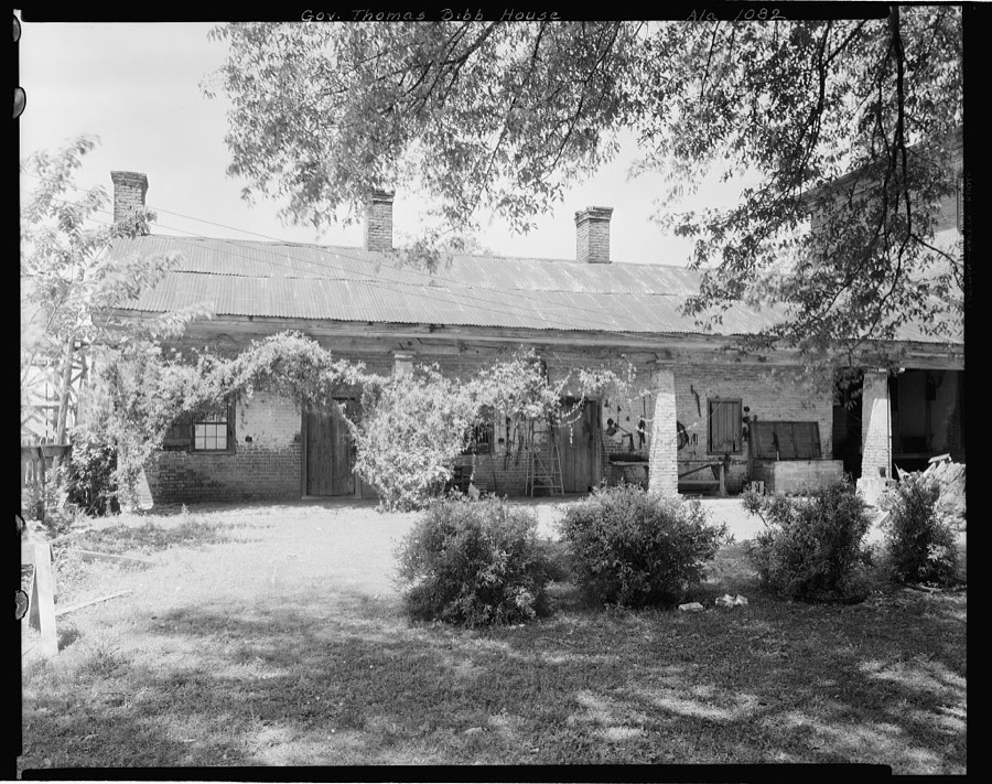

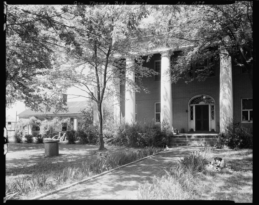
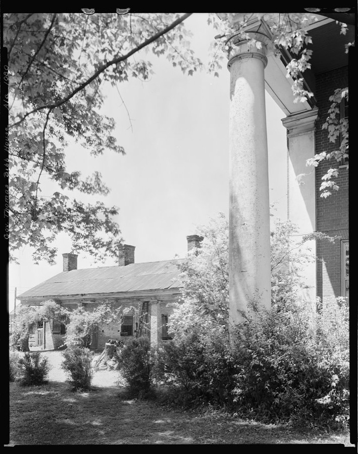
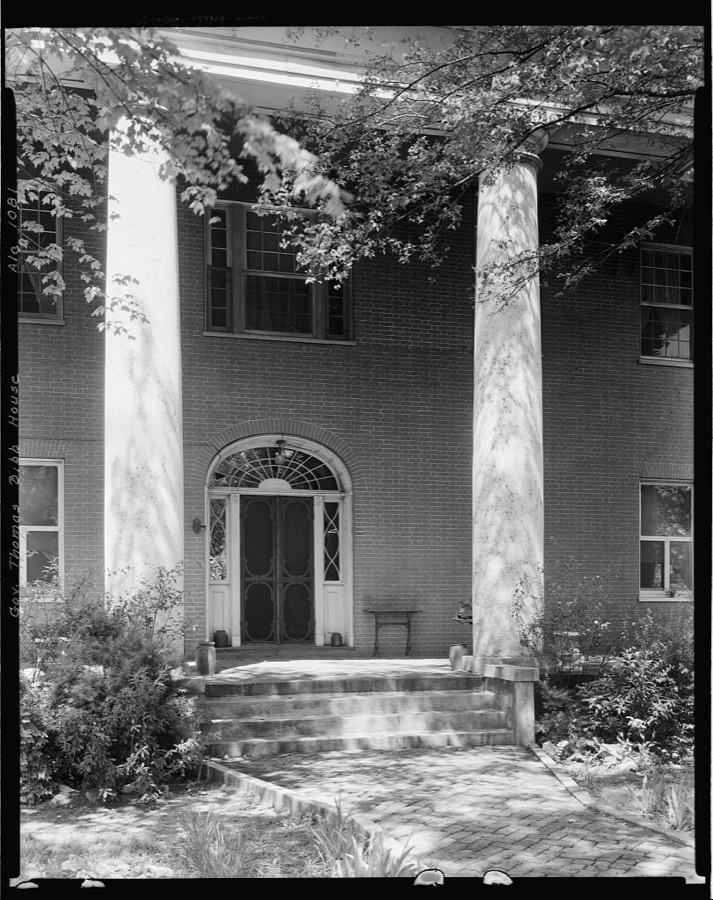
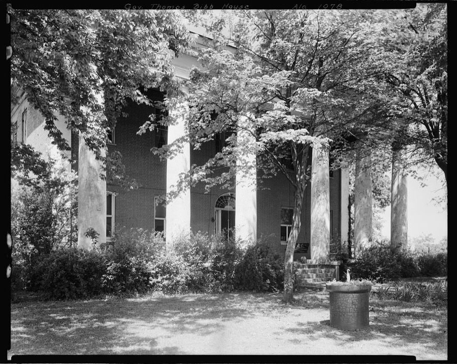
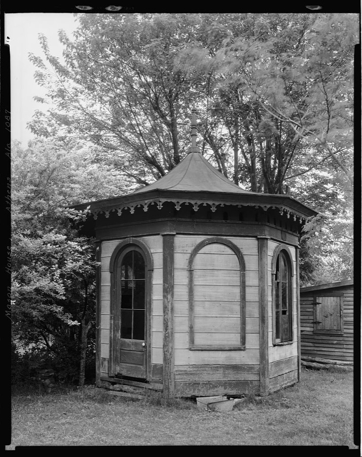
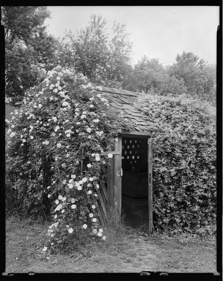
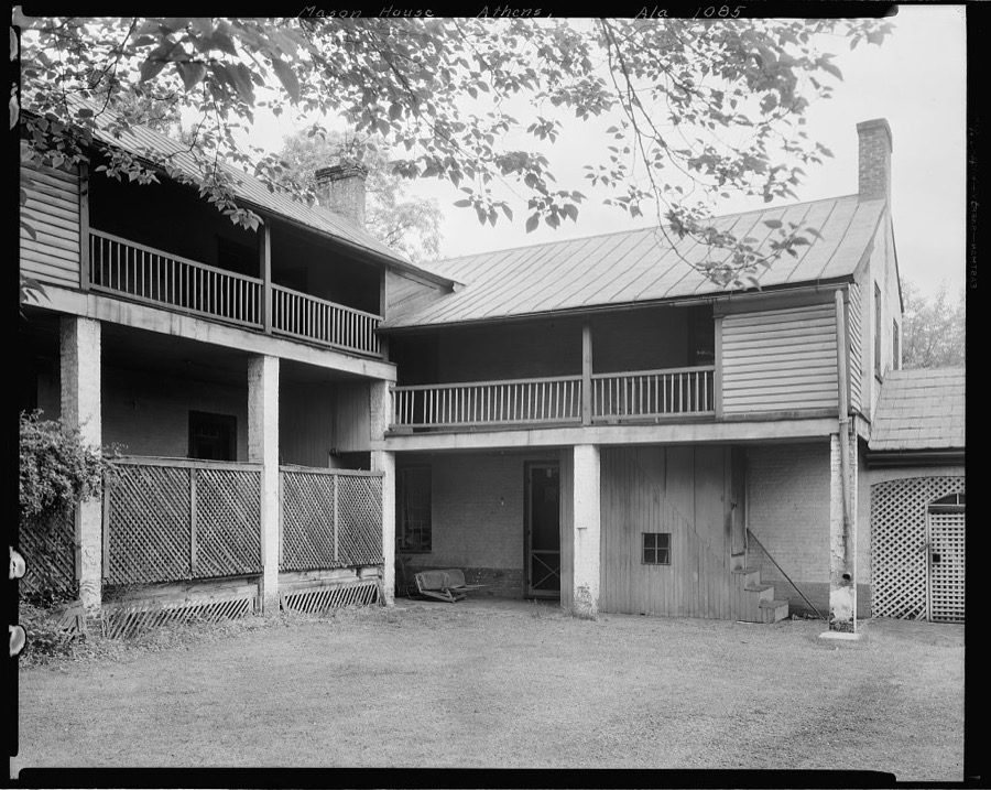
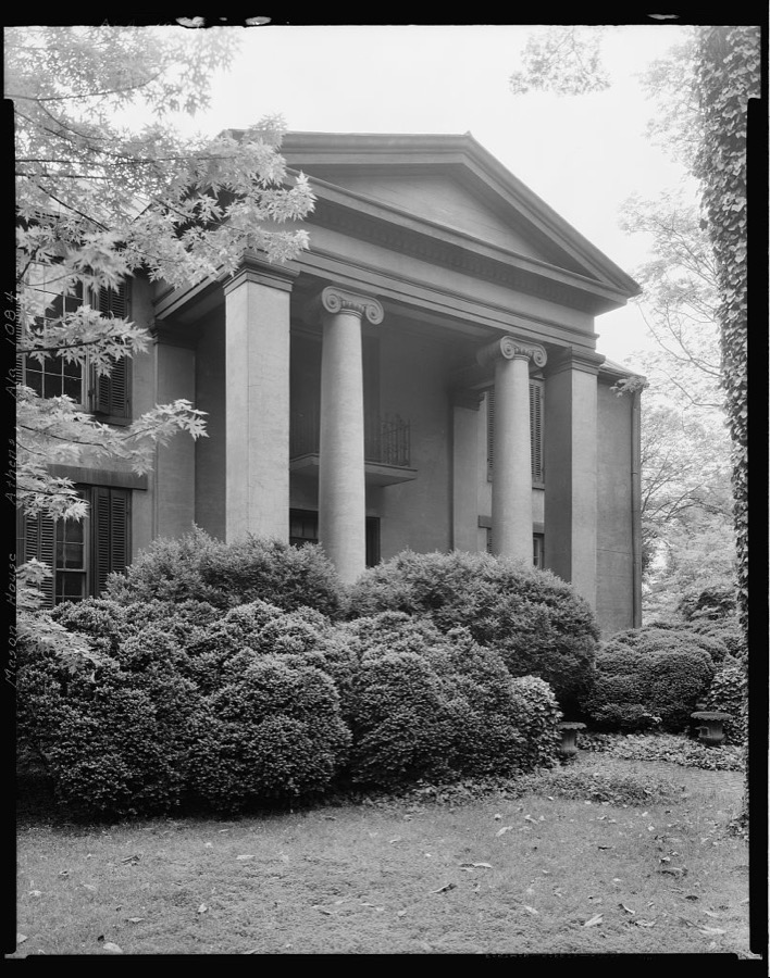
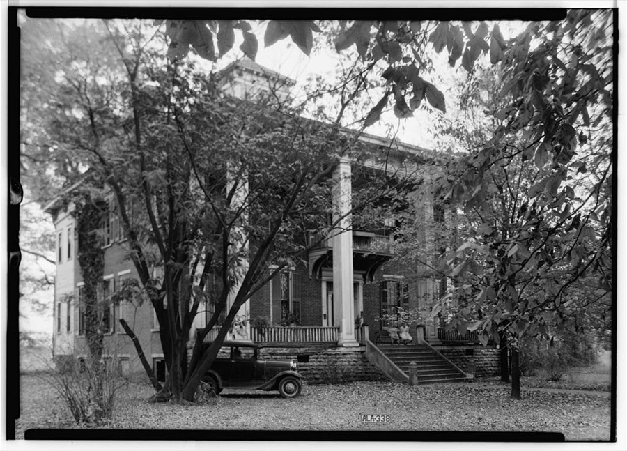
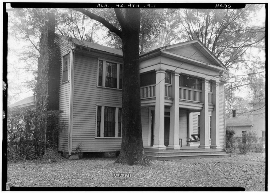
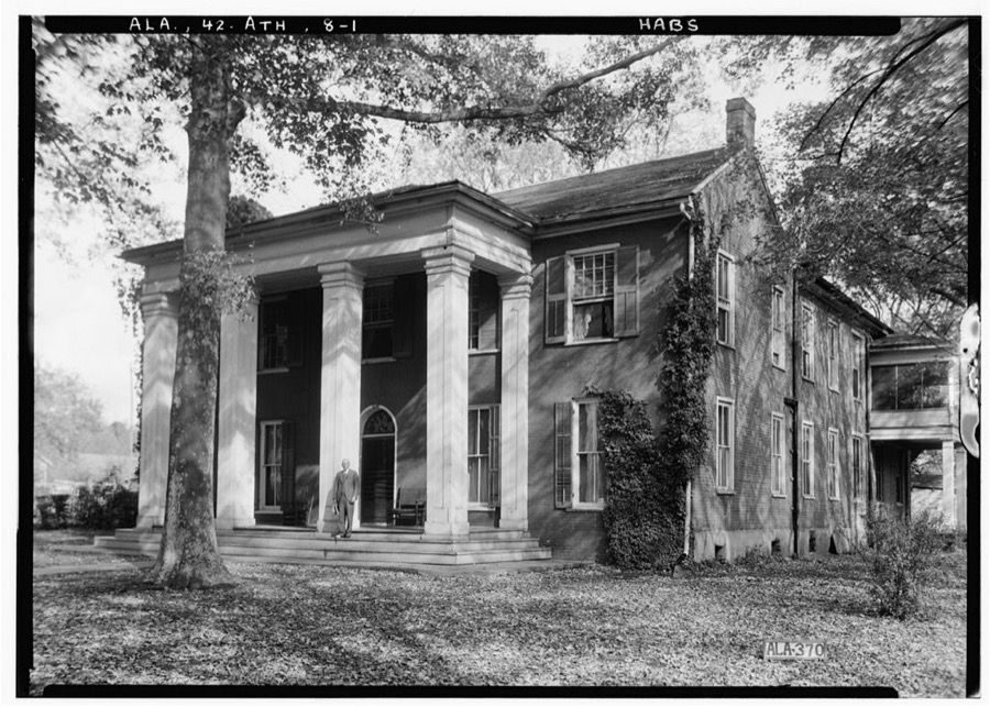
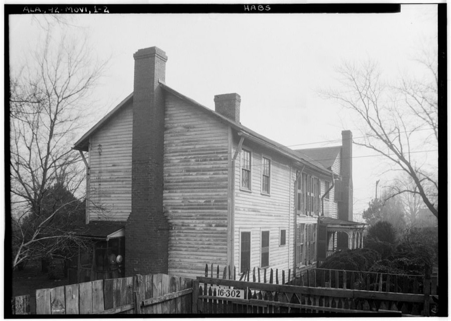
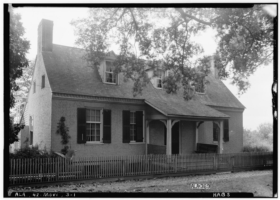
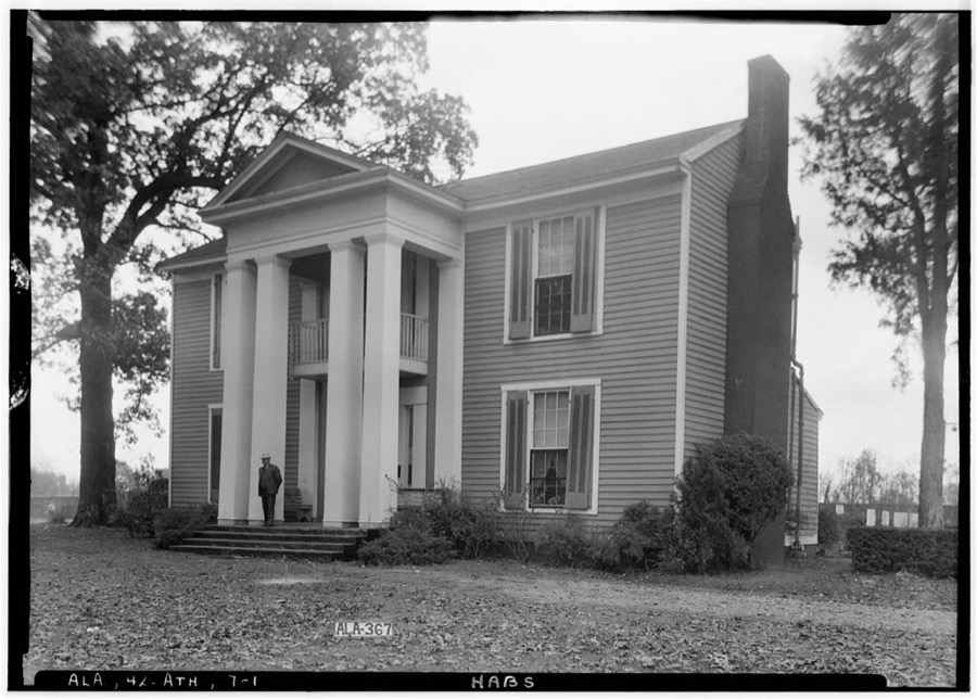
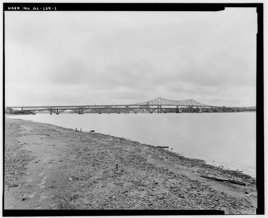
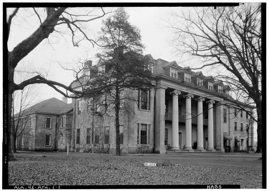
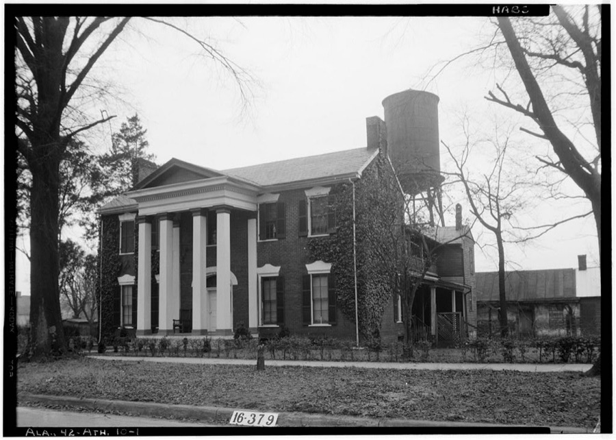
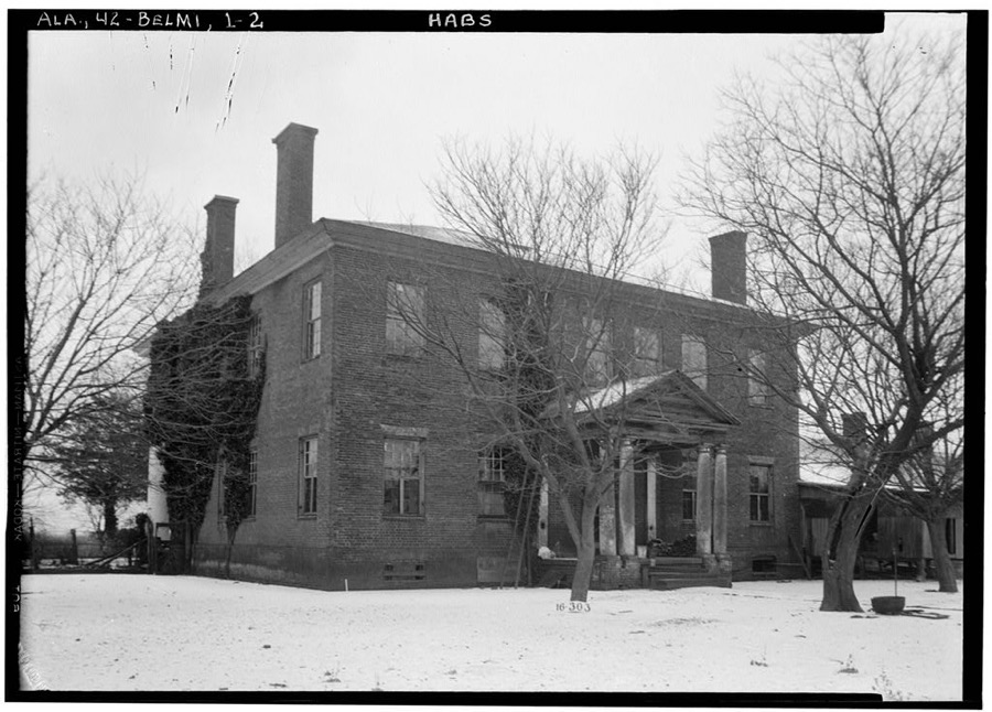
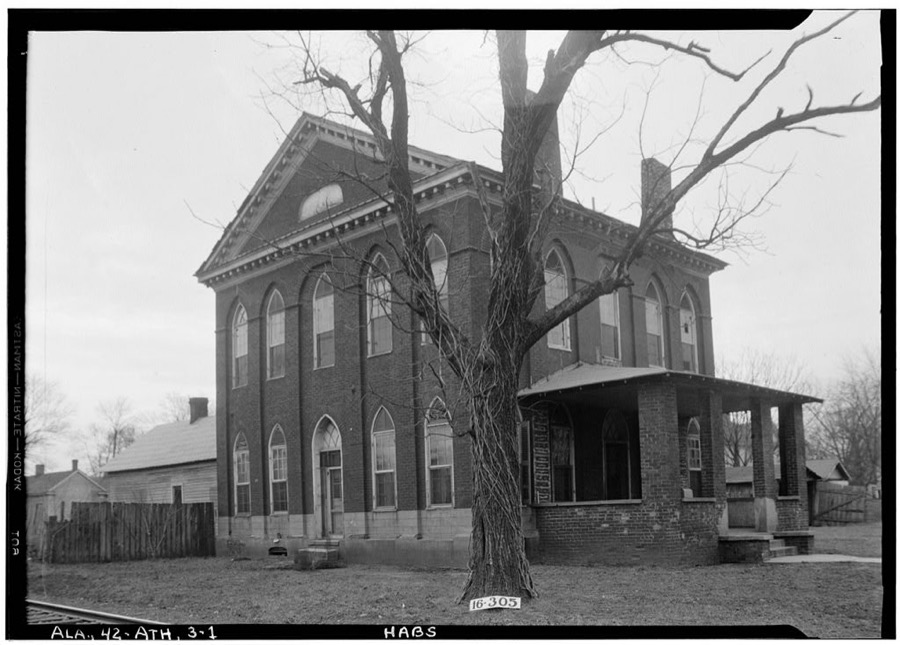
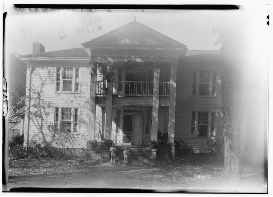
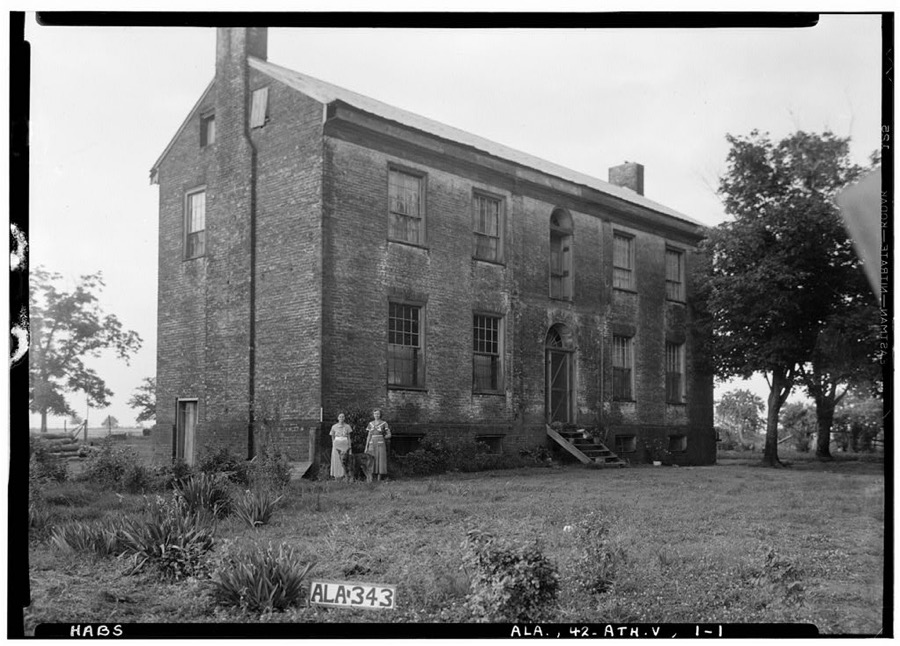
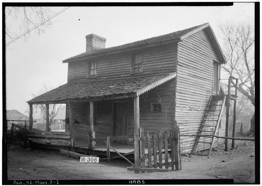
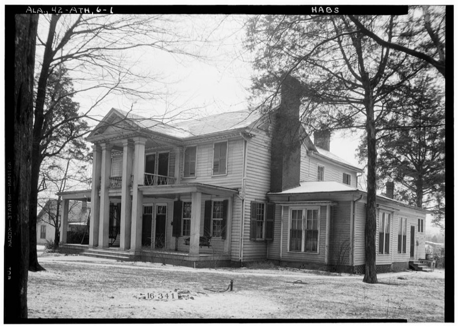
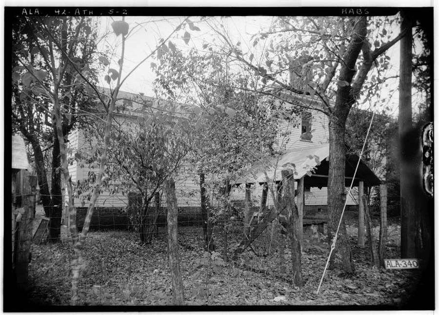
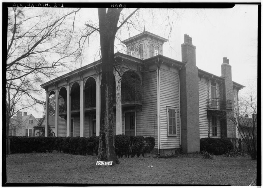
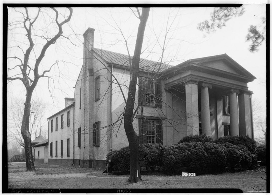
Every property in this county listed on the National Register of Historic Places, with the year it was listed and the federal nomination document.
| Photograph | Property | Type | Listed | Reference |
|---|---|---|---|---|
 | Athens Courthouse Square Commercial Historic District | district | 1997 | 97001164 |
 | Belle Mina | building | 1972 | 72000164 |
| Blackburn House | building | 1984 | 84000643 | |
| Cotton Hill | building | 2014 | 14001003 | |
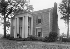 | Robert Donnell House | building | 1973 | 73000354 |
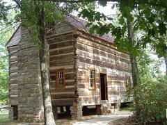 | Joel Eddins House | building | 1996 | 96001004 |
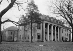 | Founders Hall | building | 1985 | 85000254 |
 | George S. Houston Historic District | district | 1989 | 89000943 |
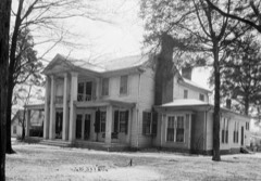 | Governor George Smith Houston House | building | 1986 | 86001043 |
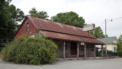 | Mooresville | district | 1972 | 72000165 |
 | Old Athens, Alabama Main Post Office | building | 1982 | 82002047 |
 | Robert Beaty Historic District | district | 1984 | 84000646 |
 | Sulphur Trestle Fort Site | site | 1973 | 73000355 |
| Woodside | building | 1982 | 82002048 |
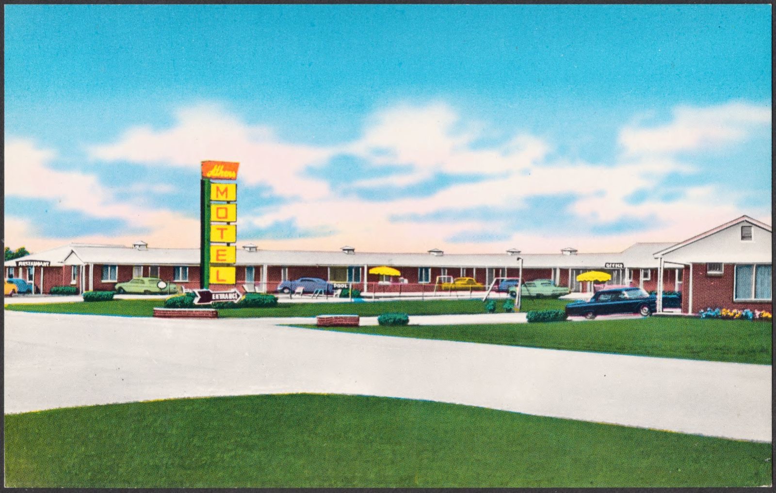
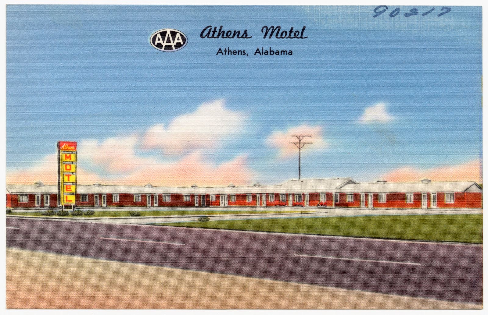
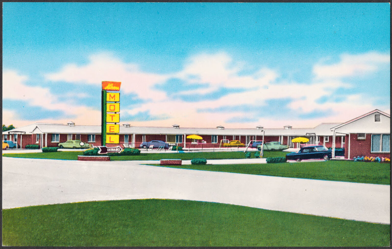
Selected from the Digital Public Library of America's 7 image records catalogued for this county. Every one shown here carries a public-domain status or a licence that permits reuse on a site that carries advertising; non-commercial, share-alike and restricted images are excluded. The selection is spread across the county's towns (at most eight per town), so no single institution's bulk upload crowds out the rest. Each opens the holding library's record, and the complete set at the Digital Public Library of America is one click away.
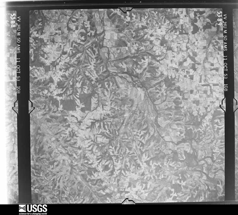
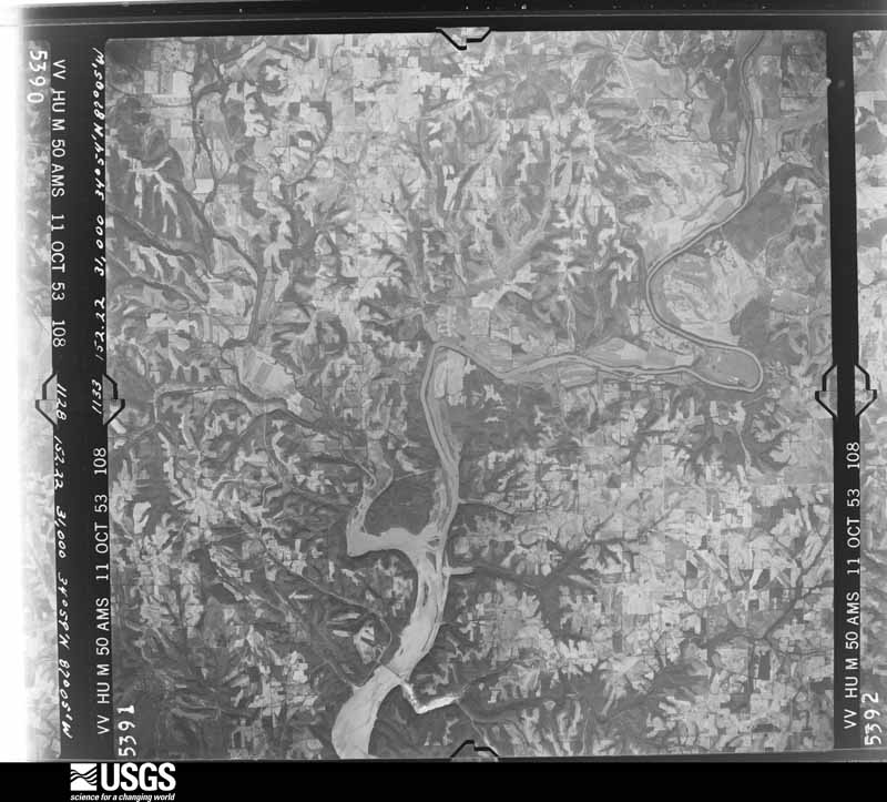
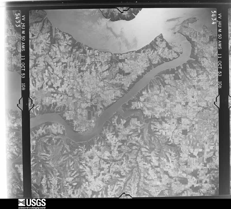
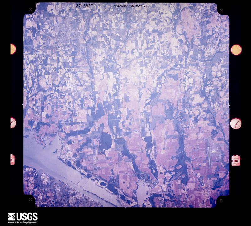
Flown by the U.S. Geological Survey between 1937 and 1989, the Aerial Photo Single Frames collection is the definitive mid-century view of the land: fields, roads and rivers as the camera saw them. The Survey holds 424 frames inside the rectangle that bounds this county; the 20 frames below were taken over the county itself, chosen across the decades of flights (at most four a year from that rectangle), so one flight cannot crowd out the rest. The full set is free to browse and download at EarthExplorer under the dataset Aerial Photo Single Frames.




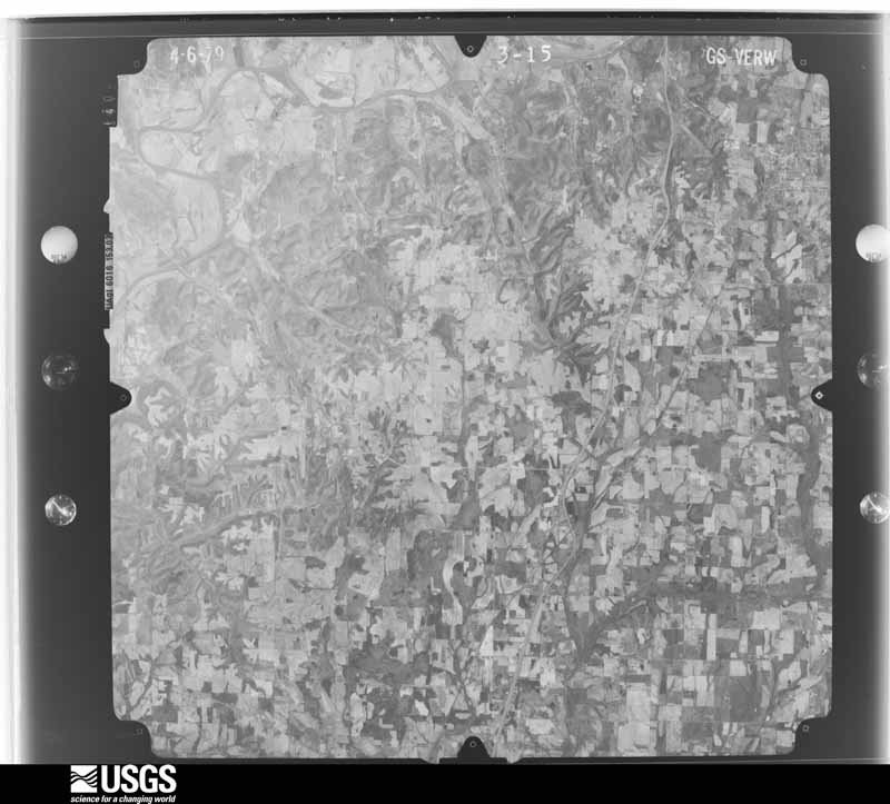
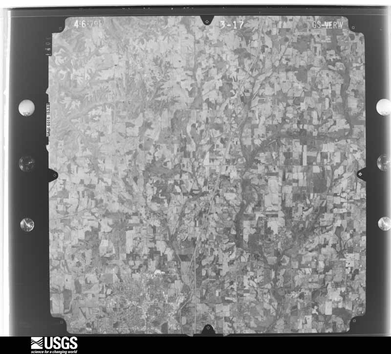
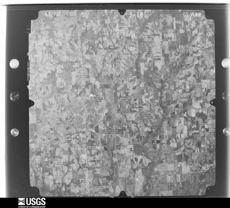
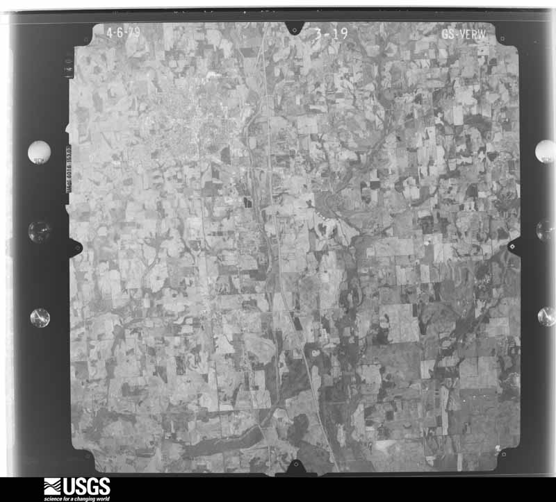




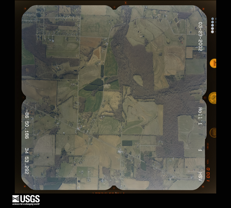
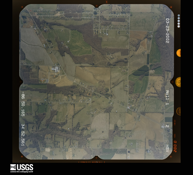
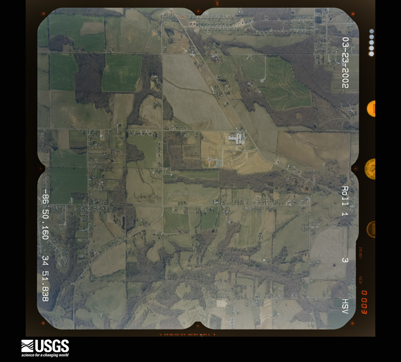
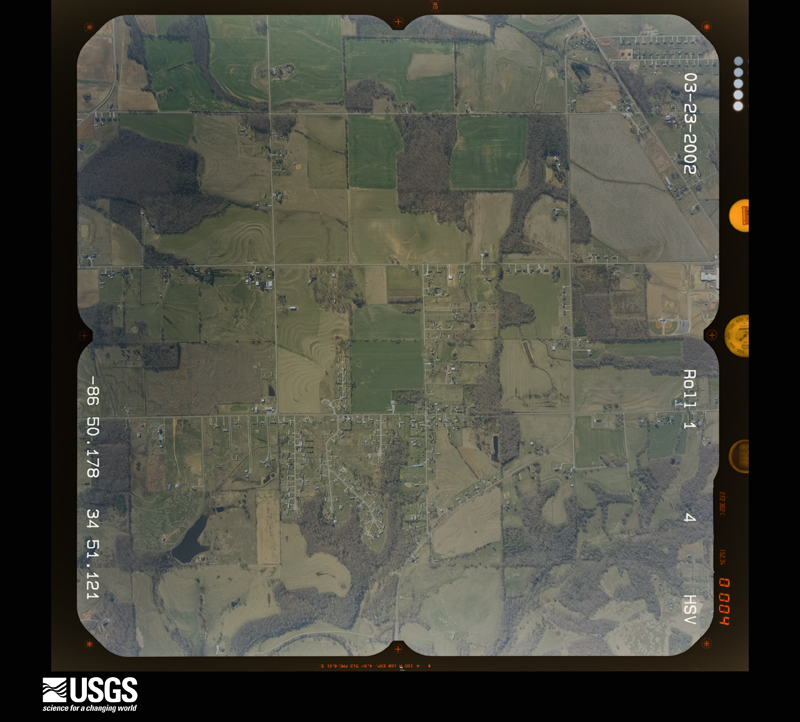
The thermometers that kept this county's weather, and the gages that measured the flow of its streams, as the federal records hold them. The extremes below are measured values from those records, not estimates.
Who lived here in 1950, one enumeration district at a time, as the Census Bureau described each district. Each row opens its official National Archives result, with Population Schedules and ED Maps available there.
Every wildfire the federal occurrence database records inside this county: 452 of them, burning about 3,373 acres. 4 started naturally and 41 were recorded as arson. Each settlement page carries the fires within five miles of it.
| Reported cause | Fires |
|---|---|
| Debris and open burning | 203 |
| Missing data/not specified/undetermined | 80 |
| Recreation and ceremony | 48 |
| Equipment and vehicle use | 43 |
| Arson/incendiarism | 41 |
| Smoking | 22 |
| Misuse of fire by a minor | 5 |
| Natural | 4 |
| Railroad operations and maintenance | 3 |
| Other causes | 1 |
| Fireworks | 1 |
| Power generation/transmission/distribution | 1 |
The five largest, by the area the report gives. None of them was recorded as arson.
| Date | Cause | Size | Reported by | Name on the report |
|---|---|---|---|---|
| 23 February 1995 | Smoking | 250 acres | Alabama Forestry Commission | not named |
| 27 April 1998 | Missing data/not specified/undetermined | 210 acres | Wheeler National Wildlife Refuge | FM 98-4 |
| 2 September 1999 | Equipment and vehicle use | 200 acres | Alabama Forestry Commission | not named |
| 2 September 1999 | Debris and open burning | 140 acres | Alabama Forestry Commission | not named |
| 9 October 2016 | Equipment and vehicle use | 90 acres | Alabama Forestry Commission | 20161009-24 |
| 7 September 1997 | Missing data/not specified/undetermined | 85 acres | Wheeler National Wildlife Refuge | FM 97-8 |
| 14 October 2000 | Railroad operations and maintenance | 80 acres | Alabama Forestry Commission | not named |
| 24 February 2011 | Missing data/not specified/undetermined | 76 acres | Alabama Forestry Commission | CO RD 65, AL |
Every settlement page carries the fires within five miles of it - see the settlement index below.
The NOAA Storm Events Database holds 912 reports for this county, causing 24 deaths, 276 injuries and about $1,033,816,500 in recorded property damage. Each settlement page carries the reports that name it.
| Kind of event | Reports |
|---|---|
| Thunderstorm Wind | 501 |
| Hail | 199 |
| Tornado | 77 |
| Flash Flood | 67 |
| Lightning | 30 |
| Flood | 20 |
| Funnel Cloud | 10 |
| Heavy Rain | 8 |
The most serious of them, by death, then injury, then recorded damage. The accounts are quoted exactly as the forecast office filed them.
| When | Event | Place named | Harm | What the report says |
|---|---|---|---|---|
| April 1974 | Tornado (F5) | not stated | 11 killed, 80 hurt | no account filed |
| April 1974 | Tornado (F5) | not stated | 5 killed, 41 hurt | no account filed |
| April 2011 | Tornado (EF4) | Lawngate | 4 killed, 45 hurt, $1,000,000,000 | The violent tornado continued it's path from the Tennessee River along the Lawrence/Limestone county line northeast through Tanner and into the east Central portion of Limestone County. Homes were completely obliterated along a wide swath in the Tanner community. Nearly a dozen high tension power lines were snapped or taken to the ground in Limestone County. Concrete power poles were also snapped off at their base. A subsequent ground team, aided by a storm survey expert from the University of Alabama in Huntsville, surveyed the most intense damage in Limestone County. High end EF-3 damage was noted over a large area in eastern Limestone County along and north of the East Limestone High School. The intensity was maximized in Limestone County in the community of Tanner, with a large swath of EF-4 damage and a narrow corridor of high end EF-4 damage. Several well-constructed homes with anchor bolting were completely wiped clean. One home had the debris lofted over 300 hundred yards with large items carried completely away. Intense ground scarring was noted in this area. In addition, a large cargo container was picked up and blown approximately 600 yards and several cars were carried airborne for hundreds of yards. In all, hundreds of homes received moderate to major damage along the path with many of these being total losses. |
| April 2014 | Tornado (EF3) | Wheeler Lake North | 2 killed, 30 hurt | A tornado rapidly intensified over Wheeler Lake resulting in extensive damage across southwest Limestone County.||Significant damage occurred at the Bay Hill Marina in Limestone County where a 2-story condominium was destroyed and a large metal building structure (used to store boats) sustained nearly complete failure of its exterior frame. Additional residences and condos had roof and exterior wall/siding damage and numerous large trees were snapped or uprooted. Several docks with metal protective coverings were destroyed. The tornado was near its peak intensity across this area, with winds between 120 and 140 mph.||The tornado continued east-northeast snapping numerous power poles near their bases along Snake Road. Along Log Cabin Road, just South of Highway 72, several homes sustained significant (if not complete) roof loss along with partial collapse of exterior walls. One single-family residence slid several feet off its concrete slab foundation. A trailer was also completely destroyed. The tornado maintained high-end EF-2/low-end EF-3 strength as it crushed Billy Barb's Trailer Park on Highway 72 in the Coxey community. 25 units were completely destroyed or uninhabitable. Two confirmed fatalities occurred at this location, with at least a dozen others injured. Debris was thrown across Highway 72 near Gordon/New Cut Road. The tornado crossed Highway 72 entering a mainly rural area of Limestone County. Numerous trees were snapped or uprooted on either side of Highway 72 between Blue Springs Road and Parker Road.||The last significant area of damage occurred at a neighborhood community near the intersection of Seven Mile Post and Guinn Road. At this 10-acre location, nearly every home (concrete masonry unit) sustained some damage with at least a half dozen destroyed. One unit was swept clean off its foundation but was not anchored/secured to its foundation. The tornado continued east-northeast producing mainly EF-0 and EF-1 damage, minor roof/siding damage and snapped or uprooted trees, before gradually lifting just north of Athens near the intersection of West Elm Street and North Jefferson Street.||It should be noted that sporadic damage (mainly trees snapped or uprooted) was seen extending at least 1/2 to 1 mile on either side of the center track of this tornado. This damage was not included in the path width. |
| May 1995 | Tornado (F4) | Limestone | 1 killed, 55 hurt, $5,000,000 | A supercell thunderstorm produced a violent tornado that began 3 miles northwest of Athens in Limestone County and moved on a path just slightly north of east completely across Madison County before ending in northwestern Jackson County about 15 miles northwest of Scottsboro. The tornado path varied from very narrow at the beginning and end to about three-quarters of a mile wide at the widest location in Madison County. Intensity varied from F0 intensity near both ends of the track to F4 at the strongest in several locations in Madison County. Damage along the track was primarily in the F2 and F3 category. Evidence in the damage as seen through an aerial survey indicated that the tornado was probably a multiple vortex with indications of at least two vortices within the main tornado funnel. The tornado began at 1633 CST in Limestone County crossing Interstate 65 and Highway 251 where the mobile home park was destroyed. It reached the Limestone/Madison county line at 1650 CST. The trek across Madison County saw the tornado move near the communities of Harvest, Meridianville, Buckhorn, and Fannings Crossing before moving into the rugged terrain of eastern Madison County. The tornado crossed the Madison/Jackson county line at 1721 CST. The tornado track was much weaker in Jackson County as it moved through rugged terrain affecting very few structures. The track ended about 15 miles northwest of Scottsboro or a few miles west of the community of Hytop. Damage was the heaviest at a mobile home park about three miles northeast of Athens along Highway 251. The only fatality that occurred in this tornado occurred at this mobile home park, and the person died later from injuries received in the tornado. Twenty-six mobile homes were destroyed in Limestone County, 13 in the Oakdale Mobile Home Park. Another 35 buildings were damaged or destroyed in Limestone County where damage was estimated to be $1.5 million. About 9,500 electric customers were without electricity. A cow was also killed when a large tree fell on and crushed it. Another especially hard hit area was Anderson Hills subdivision in Madison County with houses ranging in price from $175,000 to $400,000. This area of well-constructed dwellings was one of the locations where F4 damage was evident as well as indications of a multiple vortex structure. In Anderson Hills, 21 houses were destroyed and 39 sustained major damage. Damage across the rest of Madison County was less concentrated than in this one subdivision. Over 10,000 Huntsville Utility Company customers were without power. M30M |
| March 1963 | Tornado (F2) | not stated | 1 killed, 3 hurt, $2,500,000 | no account filed |
| May 1997 | Tornado (F2) | Athens | 12 hurt, $2,300,000 | A tornado, rated at F2 on the Fujita scale, struck the southern and eastern sections of Athens in Limestone County. The tornado path began about 2 miles south-southwest of Athens near the intersection of Sanderfer Road and County Road 45. The tornado moved northeasterly crossing through southern and eastern sections of Athens. It crossed the intersection of State Road 127 and US 72 where several businesses were damaged. Some damage was caused at Athens Middle School.The tornado continued northeast dissipating near the intersection of Proyr Street and US 31 near Athens High School.According to EMA officals, siz homes were destroyed, 14 homes sustained major damage, and an additional 14 homes had minor damage. Three apartment buildings, each with eight units, were damaged, 13 businesses had major damage, and two businesses reported minor damage.Of the 12 injuries, two were described as serious. |
| May 2004 | Tornado (F1) | Cairo | 3 hurt, $200,000 | A F1 tornado touched down in western Limestone County near Lentzville and raced eastnortheastward to just southwest of Elkmont. Several mobile homes were damaged or destroyed resulting in 3 minor injuries. In addition, numerous trees and power poles were knocked down. |
| May 1998 | Thunderstorm Wind | Ardmore | 1 hurt, $50,000 | A person was injured when his mobile home was overturned and destroyed during a thunderstorm. |
| August 1995 | Thunderstorm Wind | Ardmore | 1 hurt, $8,000 | Numerous trees were reported down along with power lines in Ardmore. A teenage girl was injured when a tree fell on her. |
| June 2010 | Lightning | Ripley | 1 hurt | A man was struck by lightning on Paradise Shores Road and sustained non-life threatening injuries. |
| July 2010 | Lightning | Athens | 1 hurt | One female was struck and injured by lightning while on Highway 31 North. |
| October 1997 | Lightning | Athens | 1 hurt | Lightning struck a utility worker repairing a damaged utility pole. He was knocked unconscious for several minutes. |
| October 1997 | Lightning | Athens | 1 hurt | A man was struck by lightning in Elkmont. He was treated and released from the hospital. |
| July 1984 | Thunderstorm Wind | not stated | 1 hurt | no account filed |
| June 1994 | Thunderstorm Wind | Athens | $5,000,000 | no account filed |
| August 1985 | Tornado (F3) | not stated | $2,500,000 | no account filed |
| April 1974 | Tornado (F3) | not stated | $2,500,000 | no account filed |
| December 2024 | Tornado (EF1) | Athens | $2,400,000 | The tornado began by snapping a few large softwood branches on Sanderfer Road just west of the intersection with Jefferson Street. From there, the tornado skipped north-northeast, snapping several|larger hardwood trees just south of an apartment complex on Southwind Drive. The tornado continued northward, snapping softwood branches and a few trees on Commercial Drive, south of Highway 72. The tornado produced its first building damage at the KFC restaurant at this location, blowing a portion of the roof off and strewing it across the highway and into the parking lot of the Taco Bell across the street. The tornado moved northward into downtown Athens. Several power poles were snapped along Madison Street and Jefferson Stret. Quite a few large soft and hardwood trees were snapped and uprooted in this area as well, beginning the EF1 damage portion of the path. Considerable roof damage and debris was then strewn throughout the square near the Courthouse in downtown Athens. Several buildings on every side of the square had portions of their roof removed, beginning with the roof completely torn off of the CEI Bookstore at the intersection of Green Street and Marion Street. From there, numerous other buildings downtown had at least some form of roof damage, with debris strewn to the north-northeast one to two blocks, between the intersections of Washington and Market Streets along Marion Street. Though the Limestone County Courthouse thankfully didn't sustain any damage other than their weathervane on the dome of the roof being bent, the very large oak tree beside the staircase wasn't as fortunate; the 100-year old tree was uprooted. From here, the tornado caused major damage just north-northeast at the Veterans Memorial Park, downing iron fencing and hurling a helicopter that was anchored to a metal pole about 50-60 feet to the west. The worst-looking building damage occurred at the intersection of Monroe and Pryor Streets, where an old warehouse was completely destroyed. It was determined that no anchor bolts were noted along the base of the cinderblock walls of the warehouse with the exception of some rebar that was found near where the overhead doors were located. Winds peaked at 100 mph with a peak path width of 160 yards at the destroyed warehouse location, with additional roof damage observed that followed the train tracks moving north-northeast. Several other businesses in this area had 20-50% (at least) of their roofs destroyed or blown off, strewing tin and debris downstream. Sporadic softwood trees were snapped or uprooted toward the end of the tornado path, along with snapping of large branches on Wilkinson Street just southwest of Airport Road. |
| October 2007 | Thunderstorm Wind | Thach | $1,000,000 | A tree was blown down on a home on New Bethel Road in Elkmont. |
| August 2007 | Thunderstorm Wind | Athens | $1,000,000 | Large oak tree and other smaller trees were blown down on highway 72 just west of the Athens city limits. |
| August 2007 | Thunderstorm Wind | Ripley | $1,000,000 | Thunderstorm winds produced roof damage to businesses on Shaw Road off U.S. Highway 72 west of Athens. |
| May 2025 | Tornado (EF1) | Reid | $927,000 | The tornado began south of Highway 72, between York Lane and Lucas Ferry Road. Significant impacts were observed near the intersection of Lucas Ferry Road and Sanderfer Road, where numerous wooden power poles were snapped, and cross members were broken. Uprooted trees and additional snapped power poles were |documented along Sanderfer Road. The tornado tracked in an east-northeast direction, continuing through the Jefferson Road and Highway 72 vicinity before dissipating. |
| December 2024 | Thunderstorm Wind | Ripley | $602,000 | A narrow swath of damage occurred along and near Shaw Road from Lawngate Road through McCormack Road to Ripley Road. A warehouse had severe damage, and several properties had roof damage. Two other barns had damage with metal siding pulled off. Trees were also snapped at multiple locations along this path. |
| August 2011 | Lightning | Athens | $500,000 | A lightning strike from severe thunderstorms moving through Limestone county caused a fire that burned the Athens Church of God to the ground. |
| June 1994 | Tornado (F3) | Tanner | $500,000 | no account filed |
| June 1994 | Tornado (F1) | not stated | $500,000 | no account filed |
| May 2003 | Tornado (F1) | Cairo | $450,000 | 85 homes with minor roof and structural damage and nearly two hundred trees uprooted and snapped. |
| May 2003 | Tornado (F1) | Shanghai | $350,000 | 17 homes with minor to major roof damage, 5 barns destroyed and at least 150 trees uprooted and twisted. |
| January 2006 | Lightning | Elkmont | $250,000 | A vigorous cold front produced a line of thunderstorms with lightning, heavy rain and gusty winds. One of the storms produced lightning which struck a chimney and ignited a fire which destroyed a home. |
| April 1982 | Tornado (F1) | not stated | $250,000 | no account filed |
| April 1958 | Tornado (F2) | not stated | $250,000 | no account filed |
| December 2008 | Tornado (EF1) | Orrville | $200,000 | A tornado tracked through the northern portions of the community of Belle Mina on Christmas Eve. The tornado developed in a forested area just east of interstate 65 north of Garrett Road. It toppled trees onto a vehicle being used by hunters. The tornado tracked through a cotton field for about 1/2 of a mile before intensifying to EF-1 strength and destroying two single wide trailer homes. One was lifted off its foundation entirely with debris found several hundred yards downwind. Fortunately, no occupants were in either location. The tornado then tracked into a farmstead along Mooresville Road, completely destroying two large tractor sheds. Two of the adjacent homes sustained minor damage to the roof. Several cedar and cypress trees were either snapped or uprooted. One tree landed atop a vehicle. No injuries occurred. The tornado then crossed Mooresville Road, uprooting and snapping additional trees, and collapsing a small shed onto vehicles. One wall of an old small farmhouse also collapsed. No occupants were in the home at the time. |
| July 2011 | Lightning | Burgreen Corner | $150,000 | Lightning struck a house on Cardinal Drive resulting in a fire that consumed much of the house. |
| April 2000 | Flash Flood | Countywide | $150,000 | Numerous roads were flooded throughout Limestone County. One bridge was washed out near the Lester Community and a few others were closed. A few roads were also washed completely out. Several area businesses were flooded. Radar and newspaper estimates indicated that the area received two to five inches of rainfall on already saturated ground. Many area rivers and creeks were high which added to the runoff problems. |
| December 2000 | Tornado (F2) | Athens | $150,000 | A second tornado began 5.1 miles west-northwest of Athens just south of O'Neal. The tornado travelled in a northeasterly direction crossing SR 99 where several houses were damaged heavily. Continuing northeast the tornado crossed CR 63 and damaged several houses and destroyed three mobile homes just south of Cross Key. The tornado then crossed CR 26 and SR 127 before dissipating about 5.0 miles north of Athens. The tornado was rated an F2 with no known injuries reported. The total tornado path was 4.8 miles long and about 60 yards wide. The tornado began at 12:38 PM and dissipated at 12:44 PM. Beginning: 34 50.326/87 03.032 Ending: 34 52.552/86 58.748 |
| May 2013 | Tornado (EF0) | Holland Gin | $100,000 | This very short-lived tornado was part of the same storm that produced the tornado across the southern portion of Athens, Alabama, earlier. Damage was in less than a quarter of a mile swath between residences along either side of Hardiman Lane. Several residences sustained minor roof damage with shingles blown off. One residence sustained structural damage, as a portion of the bricks were cracked and beginning to pull away from the foundation. Several larger trees around the residences were snapped or uprooted. Maximum winds were estimated to be at 70 mph at this location. ||Just north of Hardiman lane, a barn sustained roof damage as a significant portion of the metal roof had been pulled off. The tornado rapidly lifted just northeast of this damage location. |
| August 2011 | Thunderstorm Wind | Salem | $100,000 | A storm survey indicated that peak winds of 70-80 mph produced significant tree damage along with numerous powerlines down and minor structural damage across a large portion of the county. |
| June 1995 | Thunderstorm Wind | Eastern part | $100,000 | no account filed |
| February 1998 | Lightning | Athens | $95,000 | Lightning struck a tree starting a fire that spread to a house. The house was completely destroyed. |
| December 2000 | Tornado (F1) | Ripley | $95,000 | no account filed |
| July 2000 | Thunderstorm Wind | Countywide | $75,000 | A line of thunderstorms with damaging wind moved through Limestone County. Numerous trees and power lines were blown down throughout the county. A roof was partially torn off a doctors building in Athens and several others buildings in the area received minor damage. Several large signs and a few gas stations were damaged. |
| February 2022 | Thunderstorm Wind | Cartwright | $60,000 | The awning of a building was ripped off and blown onto a car with passengers inside. No injuries were reported. Power lines were also knocked down. |
| June 1998 | Thunderstorm Wind | Countywide | $55,000 | Numerous trees and power lines were down across the county. A gust to 69 mph was reported at a TV station's school net site in Athens. Elkmont had several trees down. Many trees were down on homes in Athens. Over 18,500 homes were without power in Limestone County. |
| May 2013 | Tornado (EF0) | Tanner | $50,000 | A short-lived tornado initially touched down along Roy Long Road just west of Highway 31. Several trees were snapped and uprooted around a residential property. The residence itself sustained minor damage as narrow wooden front porch pillars were broken and shifted by the wind. Based upon this damage, the maximum winds were determined to be around 75 mph, which is a mid range EF-0 tornado. ||The tornado skipped northeast with additional damage along Highway 72, just west of Highway 31. Multiple signs atop a large metal pole were blown out and a portion of the metal siding was ripped off. The tornado weakened after this point, and lifted just northeast of the damaged location. |
| April 2006 | Lightning | Athens | $50,000 | Lightning struck a home along Nick Davis road in eastern Limestone county. The lightning started a fire at the residence, which produced extensive damage to the home. |
| February 2001 | Thunderstorm Wind | Tanner | $50,000 | Trees and power lines were knocked down just south of Tanner. Several mobile homes received considerable damage in the Lawson's Trailer Park. |
| April 1998 | Thunderstorm Wind | Athens | $50,000 | A carport was blown down on top of a car. Numerous trees and power lines were down west of Athens along US 72. |
| April 1994 | Thunderstorm Wind | Athens | $50,000 | Thunderstorm winds took part of the roof off a house under construction and blew away a utility building. A resident reported seeing a "strange looking black thing" in the sky but damage was consistent with straight winds. |
| January 2002 | Flash Flood | Countywide | $50,000 | no account filed |
| May 1997 | Tornado (F0) | Reid | $45,000 | A small tornado touched down at Paradise Shores on the Limestone County side of the Tennessee River downing several trees and causing minor damage to several houses. One tree fell on a car while another fell into a three-car garage damaging a collection of Harley-Davidson motocylces. |
| June 1995 | Thunderstorm Wind | Mooresville | $45,000 | Several trees were reported down on Power Road in Belle Mina. A power pole was broken by the wind in Greenbrier. Two airplanes were flipped over by the wind at the Mooresville Airport east of the city. |
| June 2010 | Lightning | Lawngate | $40,000 | Lightning struck a trailer home off of Cowford road near the Tennessee River, catching it on fire. Tragically, the mobile home was ruled a total loss after the fire was extinguished. Thankfully no residents were injured or killed during the blaze. |
| May 2009 | Tornado (EF2) | Greenbrier | $40,000 | A tornado touched down along Segers Road in eastern Limestone county, snapping and uprooting numerous large trees. A tree fell on a mobile home on Hardiman Road and split it in half. Peak wind speed was estimated at 115 mph with a path width of 75 yards. |
| April 2000 | Flash Flood | Countywide | $40,000 | Numerous roads were flooded throughout southern Limestone County and many were closed several hours. One bridge was washed out on Gardner Hollow Road. Radar estimated two to three inches of rain in a short period of time on already saturated ground. |
| July 2010 | Thunderstorm Wind | Union Hill | $35,000 | Winds knocked down approximately 25 trees along Sugar Creek Estates Road. Downed trees and tree limbs tore down several power lines, some of which fell on some vehicles. |
| July 2010 | Thunderstorm Wind | Athens | $35,000 | A gas station suffered heavy roof damage. In the vicinity, some trees were nearly uprooted and other large tree limbs were knocked down. There was also minor damage to homes and other small structures. |
| August 1999 | Thunderstorm Wind | Athens | $35,000 | Trees and power lines were blown down throughout the city of Athens. One light pole was broken in half by the high wind. A few homes had minor roof damage when shingles were blown off. One home had its siding torn off. The Cloverleaf Apartments had a minor fire when a tree fell onto the power lines and ignited the fire. |
| February 2011 | Thunderstorm Wind | Wheeler Lake North | $30,000 | Roof damage was observed at a home near US 72 on Sledge Road. Other structural damage was reported and several power lines were blown down. |
| May 2006 | Thunderstorm Wind | Athens | $30,000 | Twenty mobile unit buildings of a business on Elm Street were heavily damaged due to high winds. A few of these were turned over. |
The Survey's mineral resources record lists 7 workings inside this county. 3 still produce and 4 are closed or unrecorded. Each settlement page carries the workings within five miles of it.
| Commodity | Workings |
|---|---|
| Phosphorus-Phosphates | 7 |
The least common of them first, because a county's hundredth gravel pit says nothing its first ten did not.
| Where | Site | Commodity | Status | Recorded |
|---|---|---|---|---|
| Gilbert #1 Quarry | Phosphorus-Phosphates | Producer | 1983 | |
| Gilbert #2 Quarry | Phosphorus-Phosphates | Producer | 1983 | |
| Gilbert Mine | Phosphorus-Phosphates | Producer | ||
| Monsanto Phosphate Deposit No.43 | Phosphorus-Phosphates | Unknown | ||
| Monsanto Phosphate Deposit No.44 | Phosphorus-Phosphates | Unknown | ||
| Monsanto Phosphate Deposit No.45 | Phosphorus-Phosphates | Unknown | ||
| Monsanto Phosphate Deposit No.46 | Phosphorus-Phosphates | Unknown |
Named settlements recorded in the Geographic Names Information System, each with the topographic sheets covering it. Villages, hamlets and abandoned places alike. Each is shown with the nearest named watercourse or landform and the survey quadrangle it falls on. The 1 place that was also surveyed for fire insurance comes first, with the number of atlases and photographs held for them.
Athens census division · 35611 · Athens quadrangle
22 sheets, 1888 to 1984
Fire insurance: 9 atlases
Athens census division · 35611 · On Coxey Creek · Cairo quadrangle
15 sheets, 1936 to 1986
Mooresville census division · 35615 · On Spring Branch · Tanner quadrangle
22 sheets, 1888 to 1984
Athens census division · 35773 · On Hauskin Branch · Ardmore quadrangle
22 sheets, 1888 to 1984
Athens census division · 35671 · On Spring Creek · Jones Crossroads quadrangle
15 sheets, 1936 to 1986
Athens census division · 35611 · On Blue Springs Branch · Cairo quadrangle
15 sheets, 1936 to 1986
Athens census division · 35614 · On Muddy Creek · Athens quadrangle
22 sheets, 1888 to 1984
Athens census division · 35611 · On Town Creek · Athens quadrangle
22 sheets, 1888 to 1984
Athens census division · 35613 · On Collier Branch · Athens quadrangle
22 sheets, 1888 to 1984
Athens census division · 35613 · On Collier Branch · Athens quadrangle
22 sheets, 1888 to 1984
Athens census division · 35749 · On Copperrun Branch · Capshaw quadrangle
21 sheets, 1888 to 1984
Athens census division · 35773 · Ardmore quadrangle
22 sheets, 1888 to 1984
No longer a settlement
Athens census division · 35620 · On Moore Branch · Ripley quadrangle
15 sheets, 1936 to 1986
Athens census division · 35739 · On Smith Branch · Ardmore quadrangle
22 sheets, 1888 to 1984
Athens census division · 35773 · On Leslie Branch · Capshaw quadrangle
21 sheets, 1888 to 1984
Salem census division · 35647 · Near Gardner Hollow · Salem quadrangle
15 sheets, 1936 to 1986
No longer a settlement
Athens census division · 35611 · On Town Creek · Athens quadrangle
22 sheets, 1888 to 1984
Athens census division · 35613 · On Copeland Branch · Capshaw quadrangle
21 sheets, 1888 to 1984
Athens census division · 35613 · On Town Creek · Athens quadrangle
22 sheets, 1888 to 1984
Athens census division · 35749 · On Copperrun Branch · Capshaw quadrangle
21 sheets, 1888 to 1984
Athens census division · 35611 · On Town Creek · Athens quadrangle
22 sheets, 1888 to 1984
Athens census division · 35613 · On Town Creek · Athens quadrangle
22 sheets, 1888 to 1984
Athens census division · 35611 · Near Allison Hollow · Cairo quadrangle
15 sheets, 1936 to 1986
Athens census division · 35620 · On Williams Spring Branch · Ripley quadrangle
15 sheets, 1936 to 1986
Athens census division · 35671 · On Pryor Branch · Tanner quadrangle
22 sheets, 1888 to 1984
Athens census division · 35613 · On Collier Branch · Athens quadrangle
22 sheets, 1888 to 1984
Salem census division · 35614 · On Lentzville Branch · Cairo quadrangle
15 sheets, 1936 to 1986
Athens census division · 35620 · On Turkey Creek · Elkmont quadrangle
20 sheets, 1888 to 1984
Athens census division · 35620 · On Magnusson Branch · Elkmont quadrangle
20 sheets, 1888 to 1984
No longer a settlement
Athens census division · 35613 · On Johnson Branch · Athens quadrangle
22 sheets, 1888 to 1984
Athens census division · 35611 · On Town Creek · Athens quadrangle
22 sheets, 1888 to 1984
Athens census division · 35613 · On French Mill Creek · Athens quadrangle
22 sheets, 1888 to 1984
Athens census division · 35620 · Near Horton Hollow · Salem quadrangle
15 sheets, 1936 to 1986
Salem census division · 35610 · Near Hickory Ridge · Union Hill quadrangle
14 sheets, 1936 to 1986
Salem census division · 35647 · Near Gardner Hollow · Salem quadrangle
15 sheets, 1936 to 1986
Mooresville census division · 35756 · On Hardiman Branch · Greenbrier quadrangle
25 sheets, 1888 to 1984
Athens census division · 35671 · On Pryor Branch · Tanner quadrangle
22 sheets, 1888 to 1984
Athens census division · 35614 · On Johnson Branch · Ripley quadrangle
15 sheets, 1936 to 1986
Athens census division · 35620 · On Magnusson Branch · Elkmont quadrangle
20 sheets, 1888 to 1984
Athens census division · 35613 · On Collier Branch · Athens quadrangle
22 sheets, 1888 to 1984
Athens census division · 35613 · On Town Creek · Athens quadrangle
22 sheets, 1888 to 1984
Athens census division · 35611 · Jones Crossroads quadrangle
15 sheets, 1936 to 1986
Athens census division · 35613 · On Collier Branch · Athens quadrangle
22 sheets, 1888 to 1984
Athens census division · 35611 · On Beckham Branch · Jones Crossroads quadrangle
15 sheets, 1936 to 1986
Athens census division · 35611 · On Beckham Branch · Jones Crossroads quadrangle
15 sheets, 1936 to 1986
Athens census division · 35611 · On Coxey Creek · Cairo quadrangle
15 sheets, 1936 to 1986
Salem census division · 35647 · Near Buzzard Roost Hollow · Salem quadrangle
15 sheets, 1936 to 1986
Salem census division · 35614 · Near Dog Hollow · Cairo quadrangle
15 sheets, 1936 to 1986
Salem census division · 35647 · On Hulsey Branch · Union Hill quadrangle
14 sheets, 1936 to 1986
Athens census division · 35613 · On Collier Branch · Athens quadrangle
22 sheets, 1888 to 1984
Mooresville census division · 35649 · On Limestone Slough · Tanner quadrangle
22 sheets, 1888 to 1984
Athens census division · 35620 · On Turkey Creek · Elkmont quadrangle
20 sheets, 1888 to 1984
Salem census division · 35647 · On Bridgeforth Branch · Union Hill quadrangle
14 sheets, 1936 to 1986
Athens census division · 35614 · On Fourmile Branch · Ripley quadrangle
15 sheets, 1936 to 1986
Athens census division · 35613 · On Hauskin Branch · Ardmore quadrangle
22 sheets, 1888 to 1984
Athens census division · 35613 · On Panther Branch · Athens quadrangle
22 sheets, 1888 to 1984
Athens census division · 35613 · On Panther Branch · Athens quadrangle
22 sheets, 1888 to 1984
Mooresville census division · 35756 · On Oakland Spring Branch · Greenbrier quadrangle
25 sheets, 1888 to 1984
Mooresville census division · 35756 · On Oakland Spring Branch · Greenbrier quadrangle
25 sheets, 1888 to 1984
Athens census division · 35611 · On Poplar Creek · Hillsboro quadrangle
15 sheets, 1936 to 1986
Mooresville census division · 35756 · On Oakland Spring Branch · Greenbrier quadrangle
25 sheets, 1888 to 1984
Mooresville census division · 35613 · On Martin Branch · Tanner quadrangle
22 sheets, 1888 to 1984
Athens census division · 35620 · On Fourmile Branch · Ripley quadrangle
15 sheets, 1936 to 1986
Athens census division · 35739 · On Davis Branch · Ardmore quadrangle
22 sheets, 1888 to 1984
Athens census division · 35614 · On Turkey Creek · Athens quadrangle
22 sheets, 1888 to 1984
Athens census division · 35611 · On Poplar Creek · Hillsboro quadrangle
15 sheets, 1936 to 1986
Athens census division · 35611 · On Round Island Creek · Jones Crossroads quadrangle
15 sheets, 1936 to 1986
Athens census division · 35611 · On Lake Creek · Jones Crossroads quadrangle
15 sheets, 1936 to 1986
Salem census division · 35614 · Near Hickory Ridge · Union Hill quadrangle
14 sheets, 1936 to 1986
Athens census division · 35611 · On Hamilton Spring Branch · Ripley quadrangle
15 sheets, 1936 to 1986
Mooresville census division · 35671 · On Martin Branch · Tanner quadrangle
22 sheets, 1888 to 1984
Athens census division · 35613 · On Hauskin Branch · Ardmore quadrangle
22 sheets, 1888 to 1984
No longer a settlement
Athens census division · 35613 · On Kaufman Branch · Athens quadrangle
22 sheets, 1888 to 1984
Salem census division · 35647 · Near Smith Hollow · Union Hill quadrangle
14 sheets, 1936 to 1986
Athens census division · 35614 · On Jack Branch · Ripley quadrangle
15 sheets, 1936 to 1986
Salem census division · 35614 · On Maple Swamp Branch · Cairo quadrangle
15 sheets, 1936 to 1986
No longer a settlement
Athens census division · 35611 · On Town Creek · Athens quadrangle
22 sheets, 1888 to 1984
Athens census division · 35620 · Near Vaughn Hollow · Salem quadrangle
15 sheets, 1936 to 1986
Athens census division · 35671 · On Old Schoolhouse Branch · Tanner quadrangle
22 sheets, 1888 to 1984
Salem census division · 35610 · On Daly Branch · Union Hill quadrangle
14 sheets, 1936 to 1986
Athens census division · 35620 · On Davis Branch · Salem quadrangle
15 sheets, 1936 to 1986
Athens census division · 35613 · On Town Creek · Athens quadrangle
22 sheets, 1888 to 1984
Athens census division · 35613 · On Johnson Branch · Athens quadrangle
22 sheets, 1888 to 1984
Athens census division · 35620 · Near Falls Hollow · Elkmont quadrangle
20 sheets, 1888 to 1984
Athens census division · 35613 · On Tyrone Creek · Ardmore quadrangle
22 sheets, 1888 to 1984
No longer a settlement
The vanished settlements of Limestone County: the places named above that are no longer on the map.
22 topographic sheets and 9 fire insurance atlases, 1884 to 1948
The complete index, with nothing left out. Each of these is a separate record with its own page: a federal survey report, or the case file that argued a property on to the National Register. Both are public domain and reproduced word for word.
The vanished settlements of Limestone County, the places these records name that are no longer on the map.