 Block
Ripley, Alabama
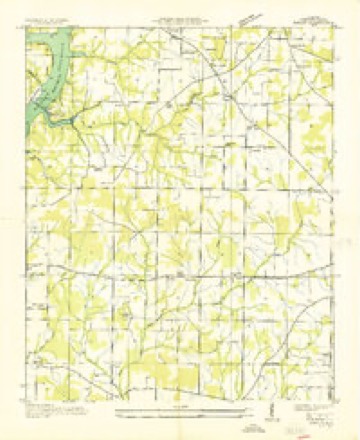
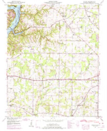
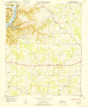
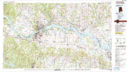
15 topographic sheets cover this place, the earliest surveyed in 1936 and the latest in 1986. It stands in the Athens census division. It lies in ZIP code area 35611. It stands on Hamilton Spring Branch. The Survey maps it on the Ripley quadrangle.
Topographic sheets covering this place
8 surveys from 15 printed sheetsMatched by testing this settlement's coordinate against the published boundary of every sheet in the United States Geological Survey's historical collection. Each opens the scanned sheet at the Survey.
- 1936 USGS Ripley quadrangle1:24000
- 1948 USGS Ripley quadrangle1:24000, 2 printings
- 1951 USGS Ripley quadrangle1:24000, 2 printings
- 1956 USGS Gadsden quadrangle1:250000, 3 printings
- 1958 USGS Gadsden quadrangle1:250000
- 1960 USGS Gadsden quadrangle1:250000, 2 printings
- 1963 USGS Gadsden quadrangle1:250000
- 1986 USGS Tuscumbia quadrangle1:100000, 3 printings




Fires near this place
66 since 1994Regional context, not property-specific evidence. The federal wildfire occurrence database lists 66 fires within 5 miles of Ripley between 1994 and 2020, burning about 594 acres in total. None started naturally. 6 were recorded as arson. Distance is straight-line from the map coordinates, so a fire counted here may appear on a neighbouring settlement's page as well.
| Reported cause | Fires |
|---|---|
| Debris and open burning | 29 |
| Missing data/not specified/undetermined | 12 |
| Recreation and ceremony | 8 |
| Arson/incendiarism | 6 |
| Equipment and vehicle use | 6 |
| Smoking | 4 |
| Fireworks | 1 |
The most recent of them, most recent first, with the day each was reported and the service that recorded it.
| Date | Cause | Size | Reported by | Name on the report |
|---|---|---|---|---|
| 24 September 2019 | Debris and open burning | under an acre | Alabama Forestry Commission | 20190924-28 |
| 24 September 2005 | Debris and open burning | 2.0 acres | Alabama Forestry Commission | not named |
| 2 September 1999 | Equipment and vehicle use | 200 acres | Alabama Forestry Commission | not named |
| 16 September 2019 | Equipment and vehicle use | under an acre | Alabama Forestry Commission | 20190916-8 |
| 13 September 2005 | Debris and open burning | 2.0 acres | Alabama Forestry Commission | not named |
| 11 September 2006 | Debris and open burning | 4.0 acres | Alabama Forestry Commission | not named |
| 5 August 1997 | Equipment and vehicle use | 3.0 acres | Alabama Forestry Commission | not named |
| 3 July 2012 | Fireworks | 5.0 acres | Alabama Forestry Commission | NOR-20120703-004 |
Settlements close enough to share some of these fires:
Storms near this place
35 since 1995Regional context, not property-specific evidence. The National Weather Service names Ripley in 35 storm reports between 1995 and 2025: 16 thunderstorm wind, 9 hail, 5 tornado, 2 flash flood. The reports record 1 injury. Each account below is quoted exactly as the forecast office filed it, from the NOAA Storm Events Database, and each date opens the federal record of that event.
| When | Event | Place named | Harm | What the report says |
|---|---|---|---|---|
| June 2010 | Lightning | Ripley | 1 hurt | A man was struck by lightning on Paradise Shores Road and sustained non-life threatening injuries. |
| August 2007 | Thunderstorm Wind | Ripley | $1,000,000 | Thunderstorm winds produced roof damage to businesses on Shaw Road off U.S. Highway 72 west of Athens. |
| December 2024 | Thunderstorm Wind | Ripley | $602,000 | A narrow swath of damage occurred along and near Shaw Road from Lawngate Road through McCormack Road to Ripley Road. A warehouse had severe damage, and several properties had roof damage. Two other barns had damage with metal siding pulled off. Trees were also snapped at multiple locations along this path. |
| December 2000 | Tornado (F1) | Ripley | $95,000 | no account filed |
| February 2011 | Thunderstorm Wind | Ripley | $16,000 | Roof damage was observed and trees were blown down on Poplar Creek Road west of Athens. |
| August 2023 | Thunderstorm Wind | Ripley | $10,000 | Trees and power lines were knocked down at this location on Paradise Shores road. Time was estimated from radar data. |
| March 2013 | Thunderstorm Wind | Ripley | $10,000 | Minor roof damage to a mobile home on Shaw Road near Ripley, Alabama, due to thunderstorm winds. |
| February 2000 | Thunderstorm Wind | Ripley | $10,000 | Trees, signs, and power lines were knocked down in the Ripley area. |
| May 1998 | Thunderstorm Wind | Ripley | $8,000 | no account filed |
| June 1997 | Thunderstorm Wind | Ripley | $6,000 | no account filed |
| July 2025 | Thunderstorm Wind | Ripley | $5,000 | Limestone EMA reported several trees down and uprooted along Poplar Point Road. |
| August 2023 | Thunderstorm Wind | Ripley | $3,000 | A tree and some power lines reported down at this location on Poplar Point road. Time was estimated by radar. |
| January 2008 | Thunderstorm Wind | Ripley | $3,000 | A severe thunderstorsm knocked down trees and powerlines in the Ripley area and south of Athens. |
| July 2008 | Thunderstorm Wind | Ripley | $3,000 | A severe thunderstorm produced damaging winds that tore siding from a home and uprooted a plum tree. In addition, a medium sized tree was split due to the winds. |
| August 2023 | Thunderstorm Wind | Ripley | $2,000 | A large tree was knocked down across the road at this location on Douglas Drive. Time was estimated by radar. |
| May 1998 | Hail | Ripley | $2,000 | no account filed |
| June 2024 | Thunderstorm Wind | Ripley | $1,000 | Metal roofing was damaged at a home along Wheeler Lake near Browns Ferry Nuclear Plant. |
| April 2008 | Tornado (EF0) | Ripley | $1,000 | This EF-0 tornado touched down along Seven Mile Post road. The tornado damaged one home, destroyed a shed, and damaged several trees. The tornado damage path was approximately one quarter mile in length, and approximately 25 yards in width. Maximum wind speeds were approximately 60 mph, rating this tornado as an EF-0 on the enhanced Fujita scale. |
| February 2014 | Thunderstorm Wind | Ripley | $500 | A tree was knocked down near Gordon and Snake Roads. |
| May 2008 | Flash Flood | Ripley | $500 | Heavy rainfall caused several inches of running water in residences along Lakeview Street near 7 Mile Post Road. |
| May 2024 | Tornado (EF3) | Ripley | - | The tornado descended Melton Bluff in Lawrence County and crossed the Tennessee River into Limestone County, moving ashore at the Brigadoon neighborhood. Public photos and videos confirm the tornado was over water before it moved on land. It caused damage at Inverness Place and this is where significant damage occurred to several homes. The home that had the greatest damage had all exterior walls facing the river collapsed, the roof of the main part of the house completely gone and the two story four car garage was collapsed with the roof also gone. The front of the house and interior rooms remained intact. Homes nearby had substantial roof damage, damaged vehicles, and other various exterior damage. Numerous large trees throughout the neighborhood were uprooted or snapped. Moving further into the subdivision, there was roof and exterior home damage to a lesser extent, fences knocked over by other debris and broken windows. The tornado lifted in a field outside of the subdivision. |
| February 2019 | Flood | Ripley | - | Several roads near Athens had water of an unknown depth over them. They include Lawngate Road between Shaw and Browns Ferry Road, Weaver Road between Snake and Little Elk Roads, Ripley Road between Shaw and Gilbert, and Bill Black Road and South Lane. |
| December 2015 | Flash Flood | Ripley | - | Shaw Road near Nuclear Plant Road washed out. |
| February 2014 | Tornado (EF1) | Ripley | - | The tornado tracked across the Tennessee River from Lawrence County at Bay Hill Drive at the marina on the northern end of the Tennessee River in Limestone County. The marina sustained minor damage and several of the condos and homes here had minor structural damage and several of the condos and homes here had minor structural damage. Trees were snapped and uprooted here as well. Utility poles were snapped along Snake road as the tornado strengthened to EF-1 intensity with wind speeds up to 105 mph.||The tornado moved northeast and snapped multiple trees as it crossed Wright road. Utility poles were also snapped here. The peak wind was estimated at 105 mph. A manufactured home was damaged along Wright road just south of highway 72 and a utility building was also destroyed. Clements High School sustained minor damage to athletic fields.||Homes sustained minor damage along Allison Loop road and Cox road, mainly minor roof uplift and loss of shingles). The tornado continued to move northeast and crossed Blue Springs Road. A large number of hardwood trees were snapped at the base here and power poles were also snapped near the ground. Several homes sustained damage when the trees fell on top of the homes. A car was also crunched in this location. The tornado then crossed the Elk River as it uprooted trees along Curtis road. The tornado then apparently lifted. |
| March 2012 | Hail | Ripley | - | Tennis ball sized hail was reported. |
| March 2012 | Hail | Ripley | - | Quarter to half dollar sized hail was reported on County Road 31 / Parker Road 1/4 mile south of Snake Road. |
| March 2012 | Hail | Ripley | - | Quarter sized hail was reported in Ripley. Time estimated by radar. |
| March 2012 | Hail | Ripley | - | Quarter-sized hail was reported. |
| January 2012 | Hail | Ripley | - | Quarter sized hail was reported for a brief period. |
| June 2012 | Hail | Ripley | - | Quarter sized hail was reported just north of Ripley. |
| April 2011 | Tornado (EF0) | Ripley | - | A tornado with EF-0 intensity produced peak wind speeds of up to 85 mph. The tornado touched down near the intersection of County Road 24 and Batts Road while embedded in a larger region of straight-line wind damaged associated with a bow echo. Numerous trees were knocked down and witnesses indicated a funnel that descended and lifted several times along the damage path. ||The tornado continued eastward moving parallel to Snake Road and County Road 24 where a concentrated region of numerous large trees were uprooted and snapped. Several houses had shingles removed and damage to gutters and roof awnings in this area. The most notable damage occurred north of County Road 24, between Zehner Road and Blackburn Road. The concentrated damage associated with this tornado dissipated near Browns Ferry Road as a secondary circulation developed to the south of the tornado. |
| October 2007 | Thunderstorm Wind | Ripley | - | Power lines were blown down at the intersection of Shaw and Snake Road in the Ripley community. |
| February 2000 | Hail | Ripley | - | Dime size hail was reported in Ripley. |
| January 1999 | Funnel Cloud | Ripley | - | A funnel cloud was reported south of Ripley. A funnel cloud and lowering wall cloud was reported 10 W Athens. |
| June 1995 | Hail | Ripley | - | A thunderstorm produced three-quarter inch hail in Limestone County at Calhoun College and wind that downed trees in the Ripley area. A mobile home was apparently moved off its foundation by the wind. |
Nearest settlements
The eight closest, with where each one stands in the county. Distances are straight-line, computed from the Geographic Names Information System coordinates.
| Map | Place | Distance | Sheets |
|---|---|---|---|
| Poplar Creek | 2.3 miles | 15 | |
| Poplar Point | 2.5 miles | 15 | |
| Beechwood Acres | 2.6 miles | 15 | |
| Lazy Living Acres | 2.8 miles | 15 | |
| Paradise Shores | 2.8 miles | 15 | |
| Lawngate | 2.9 miles | 15 | |
| Lawson | 3.6 miles | 15 | |
| Dogwood | 4.0 miles | 15 |
Provenance
This settlement is recorded in the Geographic Names Information System as feature 125648. The sheet list is computed by point-in-boundary test against the United States Geological Survey's historical topographic inventory. Both are works of the United States government and carry no copyright under 17 U.S.C. 105.
Wildfire. Short, Karen C. 2022. Spatial wildfire occurrence data for the United States, 1992-2020 [FPA_FOD_20221014]. 6th Edition. Fort Collins, CO: Forest Service Research Data Archive. https://doi.org/10.2737/RDS-2013-0009.6 Collected with United States Government funding and usable without additional permissions or fees.
Storms. NOAA National Centers for Environmental Information, Storm Events Database https://www.ncei.noaa.gov/stormevents/ A work of the United States government, no copyright under 17 U.S.C. 105. Narratives are quoted verbatim from the National Weather Service report and are not edited or summarised.