 Block
Maysville, Alabama
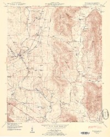
24 topographic sheets cover this place, the earliest surveyed in 1888 and the latest in 1984. It stands in the New Market census division. It lies near Wortham Mill Island. The Survey maps it on the Maysville quadrangle.
On record in Maysville
Buildings and businesses the archive holds for this place. Each opens its own page, with the source record it came from.
On the National Register 1 record
 McCartney-Bone Houselisted 1977
Topographic sheets covering this place
10 surveys from 24 printed sheetsMatched by testing this settlement's coordinate against the published boundary of every sheet in the United States Geological Survey's historical collection. Each opens the scanned sheet at the Survey.
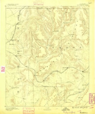
- 1888 USGS Scottsboro quadrangle1:125000
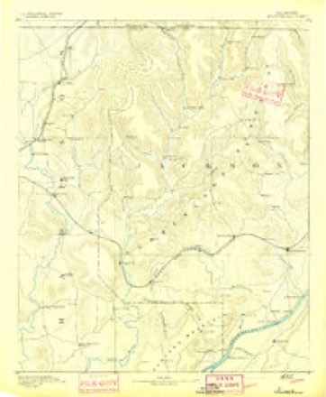
- 1892 USGS Scottsboro quadrangle1:125000, 5 printings
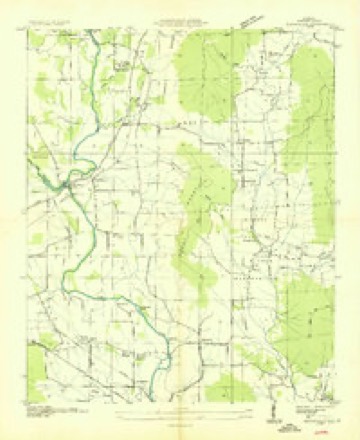
- 1936 USGS Maysville quadrangle1:24000
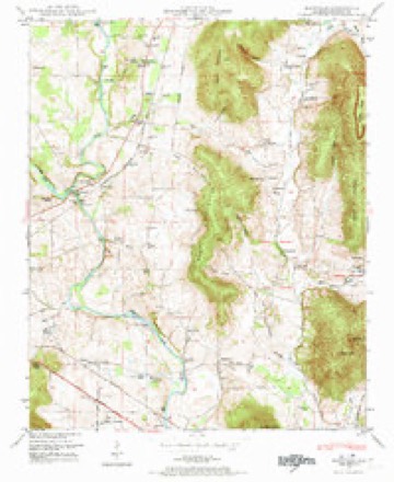
- 1948 USGS Maysville quadrangle1:24000, 5 printings
- 1951 USGS Maysville quadrangle1:24000, 2 printings
- 1956 USGS Gadsden quadrangle1:250000, 3 printings
- 1958 USGS Gadsden quadrangle1:250000
- 1960 USGS Gadsden quadrangle1:250000, 2 printings
- 1963 USGS Gadsden quadrangle1:250000
- 1984 USGS Huntsville quadrangle1:100000, 3 printings




Photographs
1 photograph,Taken for the Office of War Information and the Farm Security Administration, who photographed the country between 1935 and 1944. Works of United States government photographers, with no known restriction on use. Each opens its catalogue record.
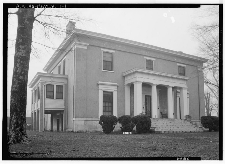
Photographer not recorded. Library of Congress
Fires near this place
50 since 1997Regional context, not property-specific evidence. The federal wildfire occurrence database lists 50 fires within 5 miles of Maysville between 1997 and 2018, burning about 81 acres in total. None started naturally. 11 were recorded as arson. Distance is straight-line from the map coordinates, so a fire counted here may appear on a neighbouring settlement's page as well.
| Reported cause | Fires |
|---|---|
| Debris and open burning | 22 |
| Arson/incendiarism | 11 |
| Missing data/not specified/undetermined | 10 |
| Equipment and vehicle use | 4 |
| Misuse of fire by a minor | 2 |
| Smoking | 1 |
The most recent of them, most recent first, with the day each was reported and the service that recorded it.
| Date | Cause | Size | Reported by | Name on the report |
|---|---|---|---|---|
| 9 September 1998 | Equipment and vehicle use | under an acre | Alabama Forestry Commission | not named |
| 8 September 1999 | Missing data/not specified/undetermined | 1.0 acres | Alabama Forestry Commission | not named |
| 8 September 1999 | Misuse of fire by a minor | under an acre | Alabama Forestry Commission | not named |
| 7 September 2001 | Arson/incendiarism | under an acre | Alabama Forestry Commission | not named |
| 25 September 2006 | Debris and open burning | 1.0 acres | Alabama Forestry Commission | not named |
| 20 September 2000 | Misuse of fire by a minor | under an acre | Alabama Forestry Commission | not named |
| 19 September 1999 | Equipment and vehicle use | 1.0 acres | Alabama Forestry Commission | not named |
| 17 September 1999 | Debris and open burning | under an acre | Alabama Forestry Commission | not named |
Settlements close enough to share some of these fires:
Storms near this place
20 since 2002Regional context, not property-specific evidence. The National Weather Service names Maysville in 20 storm reports between 2002 and 2025: 14 thunderstorm wind, 5 hail, 1 tornado. No death or injury is recorded in these reports. Each account below is quoted exactly as the forecast office filed it, from the NOAA Storm Events Database, and each date opens the federal record of that event.
| When | Event | Place named | Harm | What the report says |
|---|---|---|---|---|
| August 2002 | Thunderstorm Wind | Maysville | $4,000 | Several trees were blown down on the north side of Maysville. |
| April 2025 | Thunderstorm Wind | Maysville | $3,000 | Power lines were knocked down at 1076 Brownsboro Road. |
| December 2025 | Thunderstorm Wind | Maysville | $3,000 | Powerlines were reported down at 215 Finton Ct. |
| August 2008 | Thunderstorm Wind | Maysville | $3,000 | A large tree and a few power lines were blown down. |
| April 2025 | Thunderstorm Wind | Maysville | $2,000 | Power lines were knocked down at 119 Marysa Drive. |
| April 2025 | Thunderstorm Wind | Maysville | $2,000 | Power lines were knocked down at Brownsboro Road at Brock Road. |
| April 2025 | Thunderstorm Wind | Maysville | $2,000 | A transformer was knocked out and on fire at 102 Elvis Presley Blvd. |
| April 2025 | Thunderstorm Wind | Maysville | $2,000 | A transformer was knocked out and throwing sparks at 2971 Gurley Pike. |
| June 2011 | Thunderstorm Wind | Maysville | $2,000 | A tree was blown down on Hurricane Creek road. |
| June 2011 | Thunderstorm Wind | Maysville | $2,000 | A tree was blown along Brownsboro road. |
| May 2024 | Thunderstorm Wind | Maysville | $1,000 | A tree was knocked down which partially blocked the roadway along Ryland Pike Road. |
| April 2025 | Thunderstorm Wind | Maysville | - | A gust to 63 mph was reported by a trained spotter at this location. |
| May 2025 | Tornado (EF2) | Maysville | - | The tornado touched down on Acuff Road, downing a large swath of hardwood trees just east of Boulder Trail. A barn sustained roof damage here as|well, with some uplifting of the roof and peeling back of a few pieces of tin. From here, the tornado snapped and uprooted numerous hardwood trees as it moved across the field toward structures on Killingworth Cove Road. Here, the tornado had its strongest winds of 134 mph with a width of 400 yards. A mobile home was completely destroyed at this location, hurling the mangled frame 150-200 yards from its original location. Debris from the destroyed mobile home was strewn about 225-250 yards across the street and into the field leading to JB Hawkins Road. Two other structures at this location sustained damage. The home next door had significant roof damage, as well as projectiles that penetrated the side of the home in two locations. On the other side of the path on the corner of Killingsworth Cove Road and JB Hawkins Road, another home sustained major structural damage. Only portions of walls were left standing of the home, but survey teams discovered that no anchor bolts were used to attach the home to the foundation. All portions of the bases of walls that were investigated were toe nailed down, owing to the damage sustained at this location. From this location, the tornado climbed the elevation behind the homes on JB Hawkins, snapping and uprooting large swaths of hardwood trees before moving into Jackson County. |
| March 2013 | Hail | Maysville | - | Nickel sized hail was reported. |
| May 2008 | Hail | Maysville | - | Penny size hail was reported in eastern Madison county near Maysville. |
| April 2006 | Hail | Maysville | - | Quarter size hail was reported. |
| April 2006 | Thunderstorm Wind | Maysville | - | Thunderstorm winds knocked down power lines along Highway 72. |
| March 2005 | Hail | Maysville | - | Quarter size hail reported. |
| August 2005 | Thunderstorm Wind | Maysville | - | A few power lines were blown down. |
| August 2002 | Hail | Maysville | - | Quarter size hail was reported in Maysville. |
Nearest settlements
The eight closest, with where each one stands in the county. Distances are straight-line, computed from the Geographic Names Information System coordinates.
| Map | Place | Distance | Sheets |
|---|---|---|---|
| Brownsboro | 1.6 miles | 22 | |
| Ryland | 2.7 miles | 24 | |
| Moontown | 2.9 miles | 22 | |
| Mount Carmel | 4.1 miles | 24 | |
| Greenfield | 4.1 miles | 24 | |
| Bell Factory | 4.4 miles | 24 | |
| McCaleb Mill | 4.6 miles | 24 | |
| Three Forks | 4.6 miles | 24 |
Provenance
This settlement is recorded in the Geographic Names Information System as feature 152256. The sheet list is computed by point-in-boundary test against the United States Geological Survey's historical topographic inventory. Both are works of the United States government and carry no copyright under 17 U.S.C. 105.
Wildfire. Short, Karen C. 2022. Spatial wildfire occurrence data for the United States, 1992-2020 [FPA_FOD_20221014]. 6th Edition. Fort Collins, CO: Forest Service Research Data Archive. https://doi.org/10.2737/RDS-2013-0009.6 Collected with United States Government funding and usable without additional permissions or fees.
Storms. NOAA National Centers for Environmental Information, Storm Events Database https://www.ncei.noaa.gov/stormevents/ A work of the United States government, no copyright under 17 U.S.C. 105. Narratives are quoted verbatim from the National Weather Service report and are not edited or summarised.