 Block
Oak Ridge, Alabama
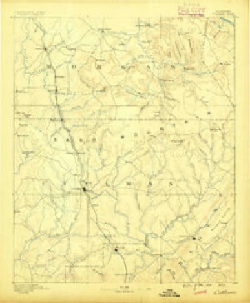
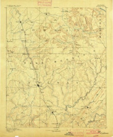
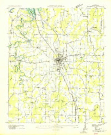
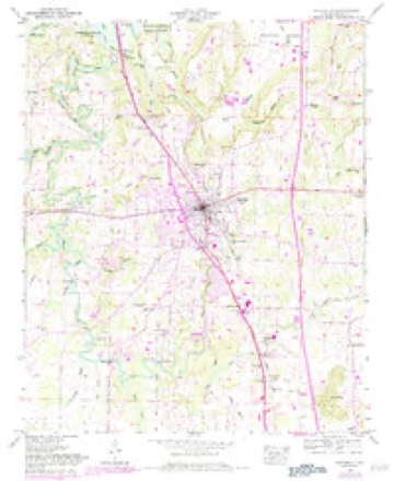
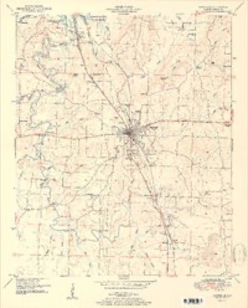
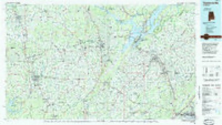
19 topographic sheets cover this place, the earliest surveyed in 1888 and the latest in 1984. It stands in the Danville census division. It lies in ZIP code area 35640. It stands on Goose Pond Branch. The Survey maps it on the Hartselle quadrangle.
Topographic sheets covering this place
10 surveys from 19 printed sheetsMatched by testing this settlement's coordinate against the published boundary of every sheet in the United States Geological Survey's historical collection. Each opens the scanned sheet at the Survey.
- 1888 USGS Cullman quadrangle1:125000
- 1892 USGS Cullman quadrangle1:125000, 4 printings
- 1936 USGS Hartselle quadrangle1:24000
- 1949 USGS Hartselle quadrangle1:24000, 2 printings
- 1951 USGS Hartselle quadrangle1:24000, 2 printings
- 1956 USGS Gadsden quadrangle1:250000, 3 printings
- 1958 USGS Gadsden quadrangle1:250000
- 1960 USGS Gadsden quadrangle1:250000, 2 printings
- 1963 USGS Gadsden quadrangle1:250000
- 1984 USGS Guntersville quadrangle1:100000, 2 printings




Fires near this place
57 since 1994Regional context, not property-specific evidence. The federal wildfire occurrence database lists 57 fires within 5 miles of Oak Ridge between 1994 and 2020, burning about 460 acres in total. None started naturally. 4 were recorded as arson. Distance is straight-line from the map coordinates, so a fire counted here may appear on a neighbouring settlement's page as well.
| Reported cause | Fires |
|---|---|
| Debris and open burning | 20 |
| Equipment and vehicle use | 12 |
| Missing data/not specified/undetermined | 11 |
| Recreation and ceremony | 6 |
| Misuse of fire by a minor | 4 |
| Arson/incendiarism | 4 |
The most recent of them, most recent first, with the day each was reported and the service that recorded it.
| Date | Cause | Size | Reported by | Name on the report |
|---|---|---|---|---|
| 5 September 1995 | Recreation and ceremony | under an acre | Alabama Forestry Commission | not named |
| 19 September 2000 | Arson/incendiarism | under an acre | Alabama Forestry Commission | not named |
| 18 September 2018 | Equipment and vehicle use | 1.0 acres | Alabama Forestry Commission | 20180918-2 |
| 17 September 2000 | Debris and open burning | 1.2 acres | Alabama Forestry Commission | not named |
| 28 August 2018 | Arson/incendiarism | 4.0 acres | Alabama Forestry Commission | 20180828-3 |
| 26 August 1998 | Equipment and vehicle use | 40 acres | Alabama Forestry Commission | not named |
| 17 August 2000 | Equipment and vehicle use | 40 acres | Alabama Forestry Commission | not named |
| 14 August 2000 | Equipment and vehicle use | 5.0 acres | Alabama Forestry Commission | not named |
Settlements close enough to share some of these fires:
Storms near this place
26 since 1995Regional context, not property-specific evidence. The National Weather Service names Oak Ridge in 26 storm reports between 1995 and 2025: 21 thunderstorm wind, 2 flash flood, 1 tornado, 1 flood. No death or injury is recorded in these reports. Each account below is quoted exactly as the forecast office filed it, from the NOAA Storm Events Database, and each date opens the federal record of that event.
| When | Event | Place named | Harm | What the report says |
|---|---|---|---|---|
| December 2009 | Flood | Oak Ridge | $1,000,000 | Up to 7.12 inches of rain fell in Hartselle as reported by a CoCoRahs observer. Resulting runoff produced extensive stream and creek flooding in the Hartselle community. In many locations in the downtown area, water of 2 to 4 feet in depth was reported inundating businesses. Several roads were washed out in the Hartselle area, including Rice Road, Celia Drive, Rustic Lane, and a public street near Westwood Drive. Eighty tons of rocks were used to repair one lane on Celia Drive.||Many roads were washed out near area streams, creeks and some river branches. Over 1 million dollars worth of damage was estimated to have occurred by city officials. Also, in the Somerville area, flooding closed roads. |
| July 1995 | Thunderstorm Wind | Oak Ridge | $45,000 | Large trees were reported down in the Neel and Oak Ridge area of Morgan County. In the Oak Ridge area, one tree fell on two pick-up trucks. Trees were reported blocking five roads in the area, and one tree fell on a mobile home. |
| August 2011 | Thunderstorm Wind | Oak Ridge | $15,000 | Several trees and large branches were downed due to thunderstorm winds on Vaughn Bridge road in Hartselle and at Mud Tavern road at South Chapel Hill. |
| October 2010 | Thunderstorm Wind | Oak Ridge | $10,000 | Several trees were knocked down or partially uprooted along Vaughn Bridge Road. |
| May 2008 | Tornado (EF0) | Oak Ridge | $10,000 | A tornado with peak winds speeds of 95 mph touched down near Goose Pond Road northwest of Hartselle, tracking northeast near Norris Mill Road to around Macabee Drive. The tornado uprooted multiple medium to large trees, including one of 4-foot diameter. Several smaller trees and branches were snapped. |
| May 2009 | Thunderstorm Wind | Oak Ridge | $6,000 | Thunderstorm winds downed trees on Bud Weaver Road and Ausley Bend Road near Hartselle. |
| July 2010 | Thunderstorm Wind | Oak Ridge | $3,000 | A large tree fell on a house along Forrest Chapel Road. A woman, child and baby inside fortunately escaped unharmed. |
| April 2025 | Thunderstorm Wind | Oak Ridge | $2,000 | A tree and power lines were knocked down at Highway 55 and Mount Carmel. |
| April 2025 | Thunderstorm Wind | Oak Ridge | $2,000 | A tree and power lines were knocked down sparking a fire at 2351 Highway 36 W. |
| April 2025 | Thunderstorm Wind | Oak Ridge | $2,000 | A tree and power lines were knocked down at the intersection of Hillview Street NW and Oakwood Street NW. |
| April 2025 | Thunderstorm Wind | Oak Ridge | $2,000 | A tree and power lines were knocked down at 2151 Hillview Street NW. |
| March 2024 | Thunderstorm Wind | Oak Ridge | $2,000 | Multiple trees were knocked down with blockage near Norris Mill and Bowles Bridge Roads. Time estimated by radar. |
| March 2024 | Thunderstorm Wind | Oak Ridge | $2,000 | Trees were knocked down with road blockage near Moss Chapel Road at U.S. Highway 31. Time estimated by radar. |
| February 2011 | Thunderstorm Wind | Oak Ridge | $2,000 | A tree was blown down on Forrest Chapel road in Oakridge. |
| April 2025 | Thunderstorm Wind | Oak Ridge | $1,000 | A tree was knocked down across the roadway at 125 Halbrooks Road. |
| April 2025 | Thunderstorm Wind | Oak Ridge | $1,000 | A tree was knocked down at the intersection of Bud Weaver Road and Vaughn Bridge Road. |
| March 2024 | Thunderstorm Wind | Oak Ridge | $1,000 | Power lines were knocked down near Norris Mill Road and Oak Ridge Lane. Time estimated by radar. |
| July 2024 | Thunderstorm Wind | Oak Ridge | $1,000 | A tree was reported down along Collier Drive in Hartselle. |
| June 2025 | Thunderstorm Wind | Oak Ridge | $500 | A smal tree was reported down near the intersection of Old Vaughn Road and Danville Road. Time was estimated from radar. |
| April 2019 | Thunderstorm Wind | Oak Ridge | $200 | A tree was knocked down near Johnson Road Southwest and Alabama Highway 36. Report relayed via social media. Time estimated from radar. |
| May 2017 | Thunderstorm Wind | Oak Ridge | $200 | A tree was knocked down at 132 Forrest Chapel Road. |
| January 2020 | Thunderstorm Wind | Oak Ridge | - | A roof was blown off of the Liberty Baptist Church on Lane Road. |
| April 2019 | Thunderstorm Wind | Oak Ridge | - | Trees were knocked down partially blocking Mose Chapel Road at Bud Weaver Road. Time estimated from radar. |
| January 2011 | Flash Flood | Oak Ridge | - | Several roads in and around the Hartselle community were impassable due to flash flooding. Some roads impacted more heavily included: Hwy 31 near the Moss Chapel, Powell, Huckaby Bridge, Mount Tabor, Cedar Cove, and Johnson Chapel. |
| May 2010 | Flash Flood | Oak Ridge | - | Main street west of Hartselle was reported impassable due to flooding. Also, reports were received that US 31 north of hwy 36 was becoming impassable. |
| April 2009 | Hail | Oak Ridge | - | Golf ball size hail was reported west of Hartselle in the Oak Ridge community. |
Nearest settlements
The eight closest, with where each one stands in the county. Distances are straight-line, computed from the Geographic Names Information System coordinates.
| Map | Place | Distance | Sheets |
|---|---|---|---|
| Basham | 2.8 miles | 15 | |
| Valley View | 3.0 miles | 19 | |
| Flint City | 3.4 miles | 25 | |
| Neel | 3.6 miles | 17 | |
| Georgia | 3.9 miles | 19 | |
| Hartselle | 4.0 miles | 19 | |
| Burningtree Estates | 4.1 miles | 25 | |
| Longleaf Estates | 4.6 miles | 25 |
Provenance
This settlement is recorded in the Geographic Names Information System as feature 124130. The sheet list is computed by point-in-boundary test against the United States Geological Survey's historical topographic inventory. Both are works of the United States government and carry no copyright under 17 U.S.C. 105.
Wildfire. Short, Karen C. 2022. Spatial wildfire occurrence data for the United States, 1992-2020 [FPA_FOD_20221014]. 6th Edition. Fort Collins, CO: Forest Service Research Data Archive. https://doi.org/10.2737/RDS-2013-0009.6 Collected with United States Government funding and usable without additional permissions or fees.
Storms. NOAA National Centers for Environmental Information, Storm Events Database https://www.ncei.noaa.gov/stormevents/ A work of the United States government, no copyright under 17 U.S.C. 105. Narratives are quoted verbatim from the National Weather Service report and are not edited or summarised.