Block
From the record
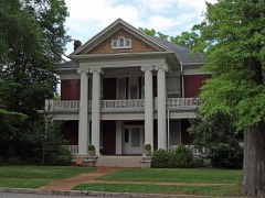
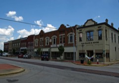
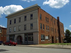
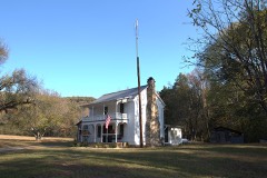
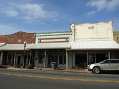
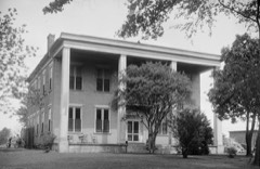
20 National Register listings published here.
Sources: the National Register database, National Park Service
122 topographic sheets and 14 fire insurance atlases across 2 places.
20 National Register listings published here.
Sources: the National Register database, National Park Service
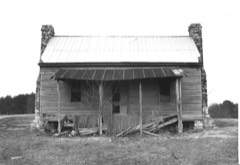
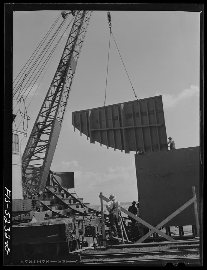
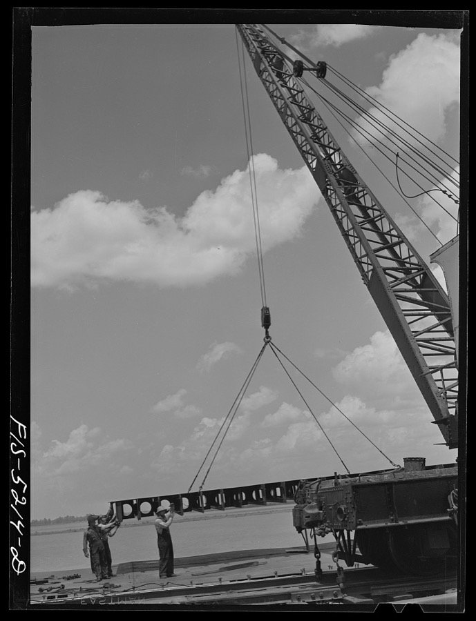
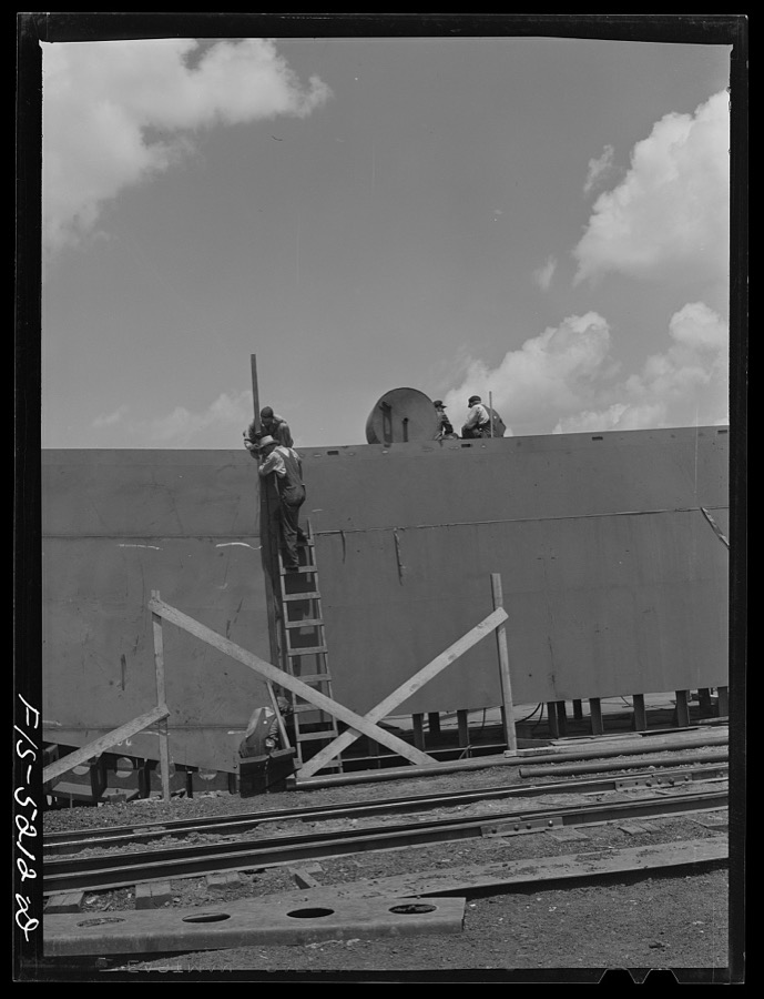
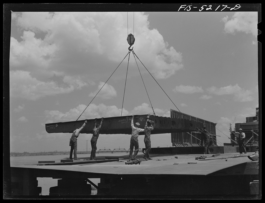
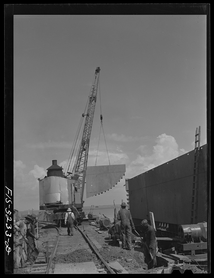
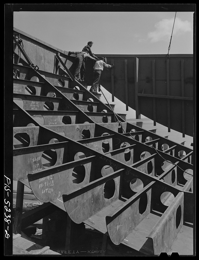
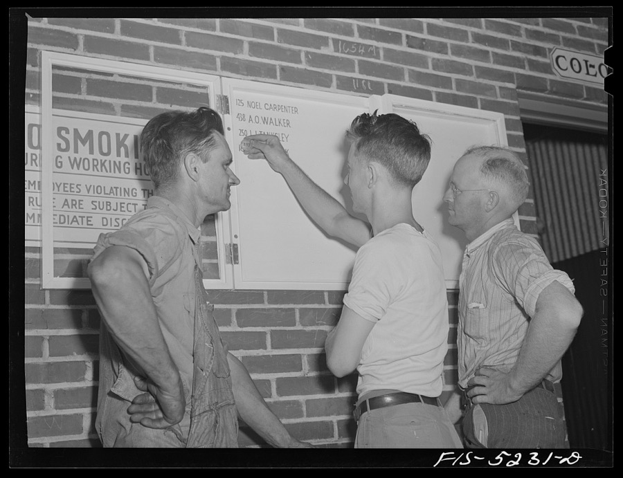
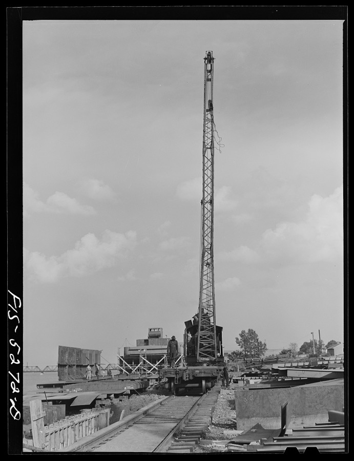
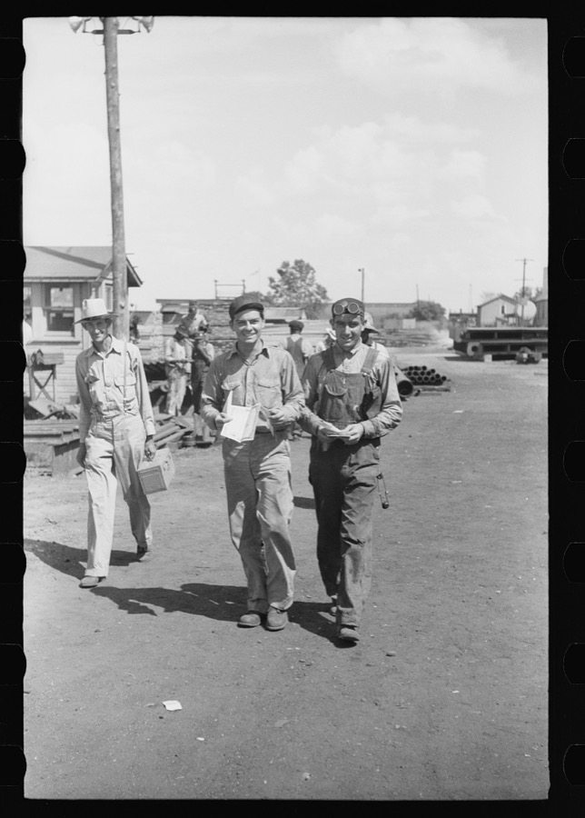
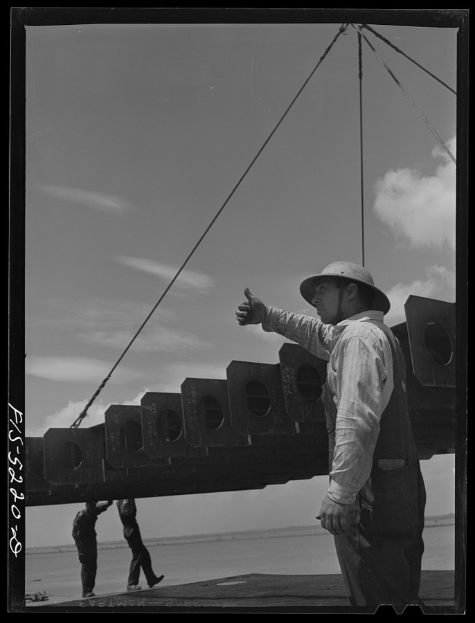
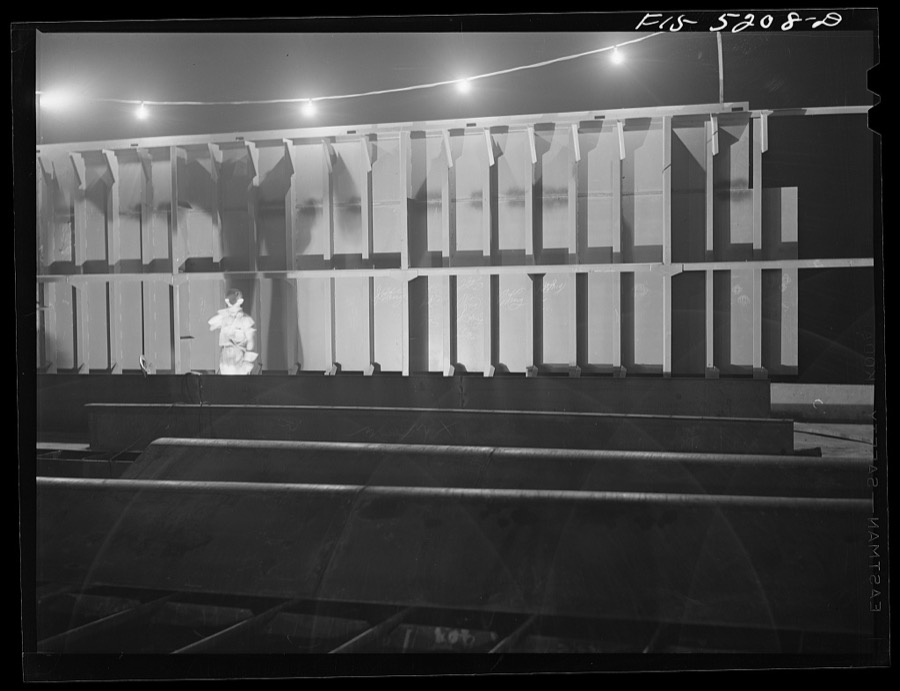
Taken for the Office of War Information and the Farm Security Administration, who photographed the country between 1935 and 1944. Works of United States government photographers, with no known restriction on use. Each opens its catalogue record.


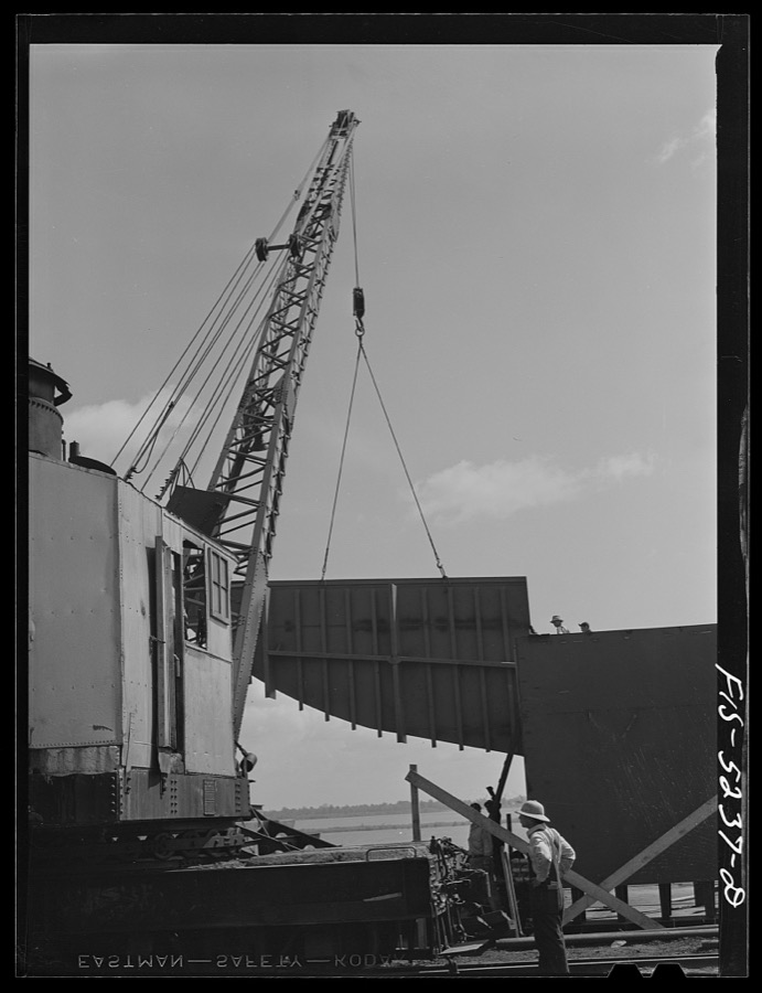


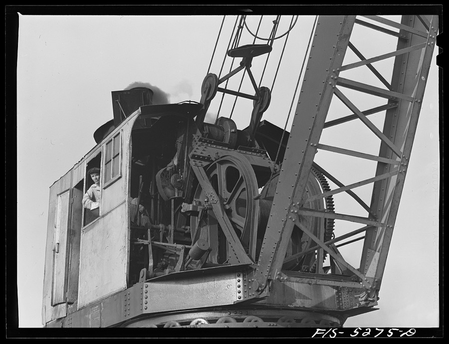
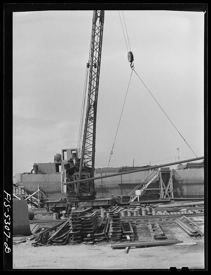
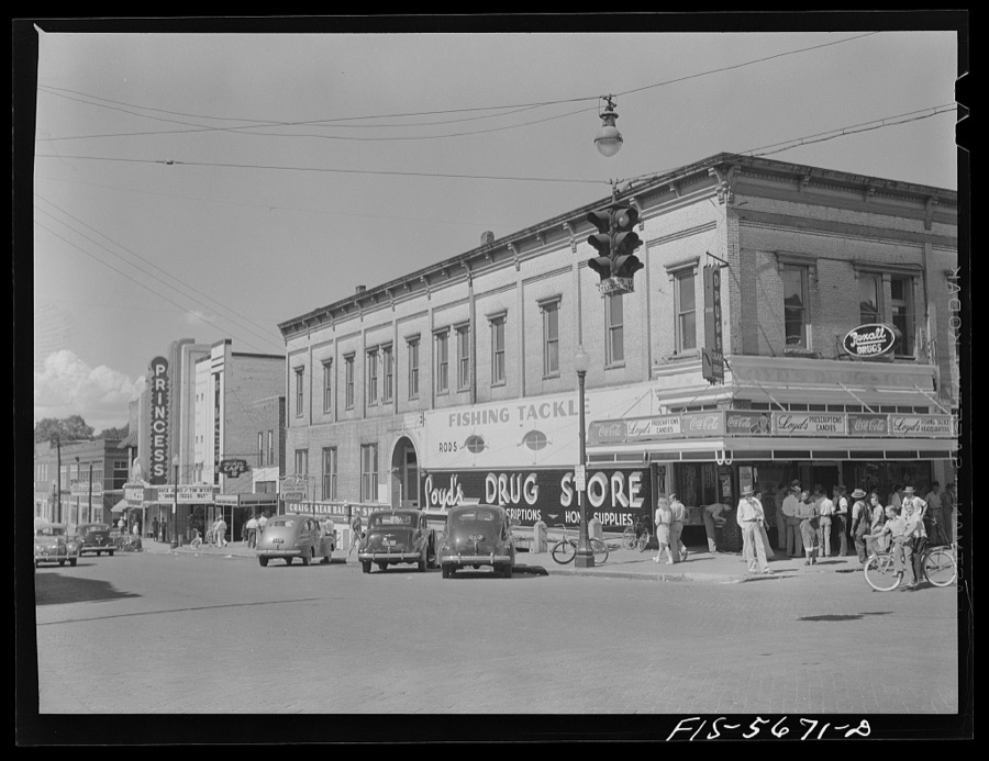

















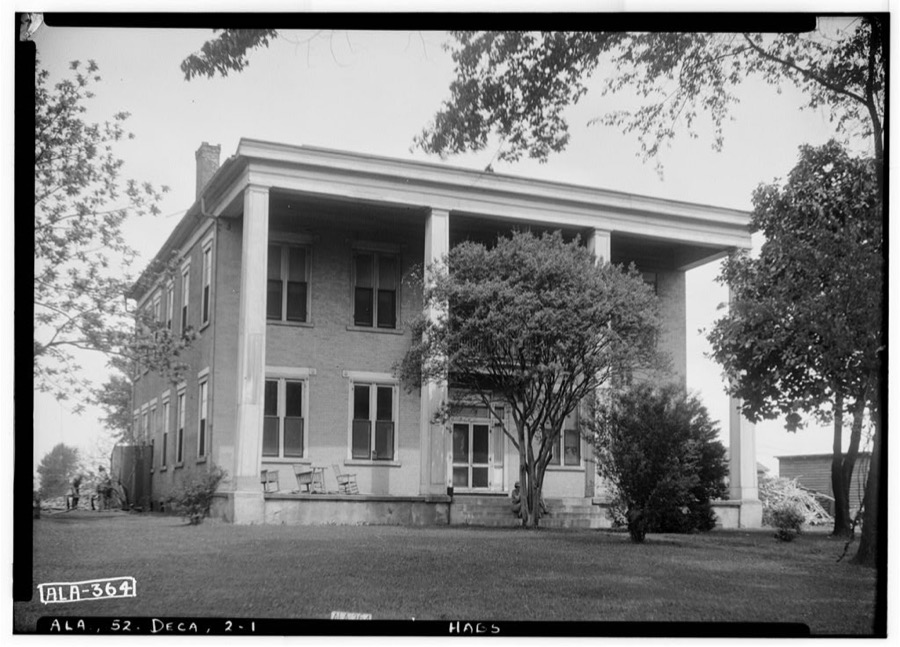
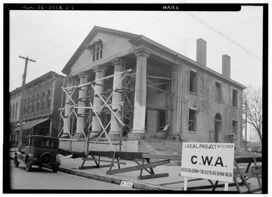
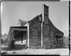
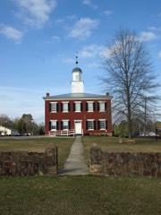
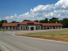
Every property in this county listed on the National Register of Historic Places, with the year it was listed and the federal nomination document.
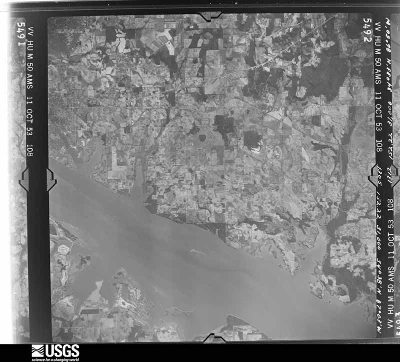
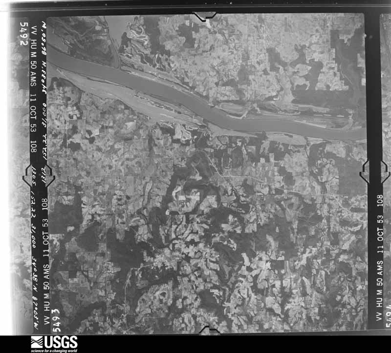
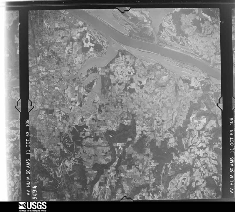
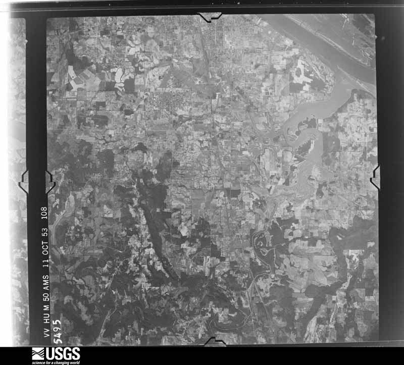
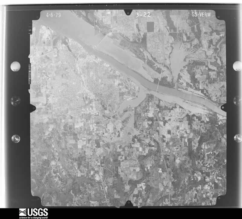
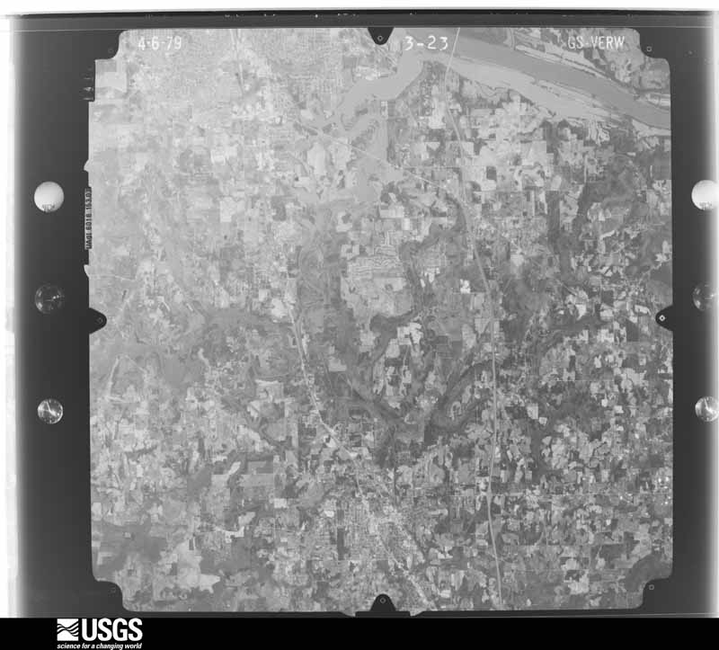
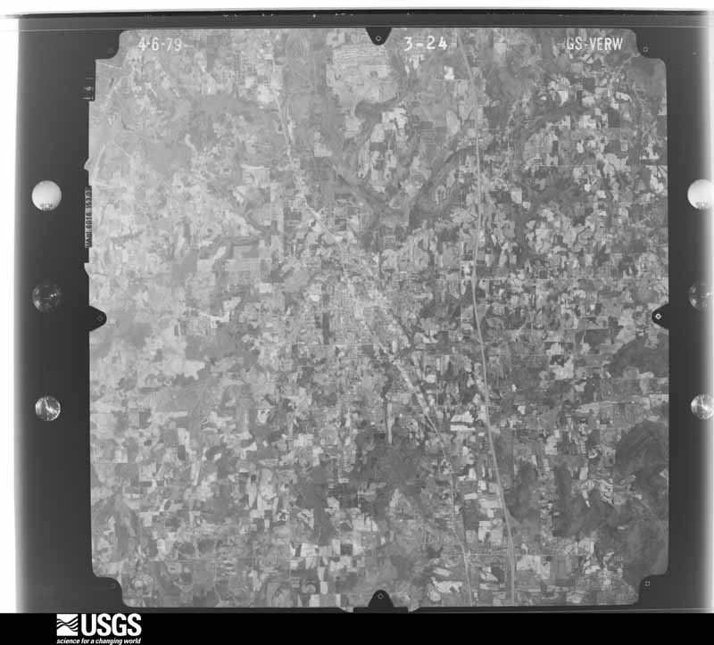
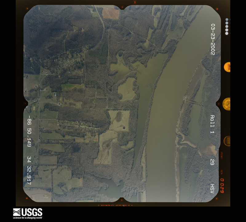
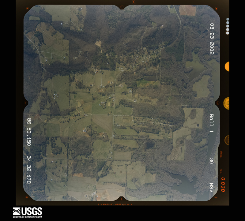
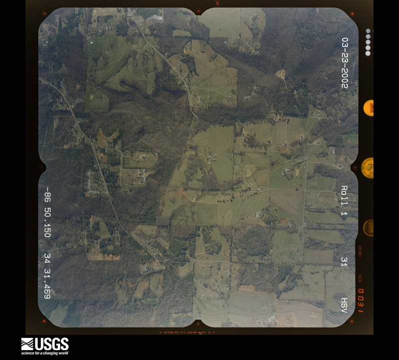
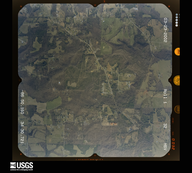
Flown by the U.S. Geological Survey between 1937 and 1989, the Aerial Photo Single Frames collection is the definitive mid-century view of the land: fields, roads and rivers as the camera saw them. The Survey holds 481 frames inside the rectangle that bounds this county; the 24 frames below were taken over the county itself, chosen across the decades of flights (at most four a year from that rectangle), so one flight cannot crowd out the rest. The full set is free to browse and download at EarthExplorer under the dataset Aerial Photo Single Frames.













The thermometers that kept this county's weather, and the gages that measured the flow of its streams, as the federal records hold them. The extremes below are measured values from those records, not estimates.
Who lived here in 1950, one enumeration district at a time, as the Census Bureau described each district. Each row opens its official National Archives result, with Population Schedules and ED Maps available there.
Every wildfire the federal occurrence database records inside this county: 487 of them, burning about 4,551 acres. 6 started naturally and 93 were recorded as arson. Each settlement page carries the fires within five miles of it.
| Reported cause | Fires |
|---|---|
| Debris and open burning | 170 |
| Missing data/not specified/undetermined | 104 |
| Arson/incendiarism | 93 |
| Equipment and vehicle use | 46 |
| Recreation and ceremony | 34 |
| Smoking | 13 |
| Misuse of fire by a minor | 13 |
| Natural | 6 |
| Railroad operations and maintenance | 5 |
| Power generation/transmission/distribution | 1 |
| Fireworks | 1 |
| Other causes | 1 |
The five largest, by the area the report gives. Four of them were set deliberately.
| Date | Cause | Size | Reported by | Name on the report |
|---|---|---|---|---|
| 30 November 1999 | Arson/incendiarism | 385 acres | Alabama Forestry Commission | not named |
| 22 February 2011 | Arson/incendiarism | 134 acres | Alabama Forestry Commission | TRUCK TRAIL, AL |
| 23 February 2007 | Arson/incendiarism | 100 acres | Alabama Forestry Commission | COLE SPRINGS |
| 3 July 2012 | Arson/incendiarism | 97 acres | Alabama Forestry Commission | NOR-20120703-006 |
| 8 March 2016 | Missing data/not specified/undetermined | 83 acres | Alabama Forestry Commission | 20160308-1 |
| 2 October 2014 | Missing data/not specified/undetermined | 70 acres | Alabama Forestry Commission | NOR-20141002-005 |
| 18 January 2014 | Missing data/not specified/undetermined | 63 acres | Alabama Forestry Commission | NOR-20140118-003 |
| 19 February 1994 | Railroad operations and maintenance | 60 acres | Alabama Forestry Commission | not named |
Every settlement page carries the fires within five miles of it - see the settlement index below.
The NOAA Storm Events Database holds 1,098 reports for this county, causing 15 deaths, 251 injuries and about $24,890,750 in recorded property damage. Each settlement page carries the reports that name it.
| Kind of event | Reports |
|---|---|
| Thunderstorm Wind | 671 |
| Hail | 198 |
| Flash Flood | 111 |
| Tornado | 50 |
| Flood | 36 |
| Lightning | 25 |
| Funnel Cloud | 4 |
| Heavy Rain | 2 |
| Dust Devil | 1 |
The most serious of them, by death, then injury, then recorded damage. The accounts are quoted exactly as the forecast office filed them.
| When | Event | Place named | Harm | What the report says |
|---|---|---|---|---|
| April 1955 | Tornado (F4) | not stated | 5 killed, 20 hurt, $2,500,000 | no account filed |
| March 1952 | Tornado (F4) | not stated | 4 killed, 50 hurt, $25,000 | no account filed |
| April 1957 | Tornado (F3) | not stated | 2 killed, 90 hurt, $250 | no account filed |
| December 1967 | Tornado (F2) | not stated | 2 killed, $2,500,000 | no account filed |
| April 2009 | Thunderstorm Wind | Brooksville | 1 killed, $41,000 | Thunderstorm winds downed two large trees onto a mobile home at 531 South Bethel Road. Tragically, the occupant was killed by the fallen trees. |
| March 2023 | Tornado (EF2) | Danville Arpt | 1 killed | A tornado tracked out of far east central Lawrence County into Morgan County. Minor damage was noted around Danville High School with the football scoreboard partially destroyed. The tornado intensified as it tracked east-northeast toward Targum Road. Uprooted trees, minor damage to a home, and a destroyed carport were observed. Tracking east, the tornado uprooted and snapped a significant number of trees along Iron Man Road and Forest Chapel Road. While there was heavy structural damage to single-family homes, the bulk of the damage was due to trees falling on houses. The tornado remained on the ground uprooting trees and tracking toward Vaughn Bridge Road. Near the Vaughn Bridge and Vest Road intersection, the tornado lifted and snapped the anchoring system of a single-wide mobile home. This caused the unit to overturn and roll, destroying the home. One fatality was reported at this location. Given the degree of damage, and strapping of anchors to the I-beam, the damage indicator held consistent with expected wind speed values. As the tornado tracked east, numerous trees were uprooted causing structural damage along Highway 31 and further east on Sparkman Street and through Bethel Road. The tornado likely lifted before the Bethel Road and I-65 intersection. |
| April 1974 | Tornado (F5) | not stated | 56 hurt | no account filed |
| May 1978 | Tornado (F1) | not stated | 11 hurt, $250,000 | no account filed |
| April 2025 | Thunderstorm Wind | Cole Spgs | 6 hurt | Trees were snapped and uprooted at 12 Frost Road and neighboring areas. |
| November 1973 | Tornado (F2) | not stated | 3 hurt, $250,000 | no account filed |
| August 1985 | Tornado (F3) | not stated | 2 hurt, $2,500,000 | no account filed |
| June 2011 | Thunderstorm Wind | Trinity | 2 hurt, $60,000 | A large tree fell onto a house, which was totally destroyed. A family was in the house at the time and a woman and her child were injured. |
| April 2025 | Thunderstorm Wind | Neel | 2 hurt, $50,000 | Trees fell onto a home on Ironman Road injuring two occupants. One suffered severe cuts and a concussion and was treated a local hospital. The other experienced minor bruises. |
| May 1958 | Tornado (F2) | not stated | 1 hurt, $25,000 | no account filed |
| March 2012 | Lightning | Hartselle | 1 hurt, $20,000 | Lightning struck a female who was taking photos with a cell phone of a storm with her arm outside the home through a doorway. The female felt a surge of electricity through her arm, into her neck and out her wrist which appeared bruised. She then fell backwards and suffered a seizure for several minutes, then called 911 for emergency assistance. She was hospitalized overnight and released the next morning. The Morgan County emergency manager reported at least 3 fires sparked by lightning their county. Two 46000 volt circuits were also damaged in Decatur with about 4250 utility customers losing power for a few hours. |
| July 1999 | Lightning | Decatur | 1 hurt, $10,000 | Lightning struck a metal awning at a large home supply store and traveled down a metal pole into the parking lot shocking a man who was loading lumber under the awning. The man was temporarily blinded by the lightning strike but was able to transport himself to a nearby hospital. Doctors kept him overnight but he displayed no serious injuries other than a small exit wound on his left ear. The telephone system in the store was damaged by the lightning strike. |
| September 2025 | Thunderstorm Wind | Echols Xrds | 1 hurt, $3,000 | Multiple trees were knocked down along Cain Road at East Upper River Road. One tree fell onto an SUV, breaking glass producing minor cuts to an occupant. |
| March 1996 | Lightning | Decatur | 1 hurt, $2,000 | no account filed |
| September 2020 | Lightning | Pumpkin Center | 1 hurt | A 14-year old male was struck by lightning at the 1500 block of Neel School Road. Little information was available, but the injury was not believed to be serious. Time and location of strike were confirmed by NOAA's NCEI Severe Weather Data Inventory. |
| April 2011 | Thunderstorm Wind | Union | 1 hurt | A bowing line segment of severe thunderstorms created damaging straight-line winds. The winds blew a tree on a house and caused 1 injury. |
| May 1991 | Thunderstorm Wind | not stated | 1 hurt | no account filed |
| May 1990 | Thunderstorm Wind | not stated | 1 hurt | no account filed |
| August 1985 | Tornado (F3) | not stated | $2,500,000 | no account filed |
| April 1974 | Tornado (F3) | not stated | $2,500,000 | no account filed |
| May 2009 | Lightning | Hartselle | $2,000,000 | Lightning struck a four story, 20,000 square foot house on Breeding Drive north of Hartselle. A mother and child were in the home at the time and escaped without injury, as the fire erupted and quickly spread throughout the house. Tragically, this house was burned to the ground. In addition, the blaze destroyed two antique cars. |
| December 2009 | Flood | Oak Ridge | $1,000,000 | Up to 7.12 inches of rain fell in Hartselle as reported by a CoCoRahs observer. Resulting runoff produced extensive stream and creek flooding in the Hartselle community. In many locations in the downtown area, water of 2 to 4 feet in depth was reported inundating businesses. Several roads were washed out in the Hartselle area, including Rice Road, Celia Drive, Rustic Lane, and a public street near Westwood Drive. Eighty tons of rocks were used to repair one lane on Celia Drive.||Many roads were washed out near area streams, creeks and some river branches. Over 1 million dollars worth of damage was estimated to have occurred by city officials. Also, in the Somerville area, flooding closed roads. |
| August 2007 | Thunderstorm Wind | Austinville | $1,000,000 | Powerlines were blown down at the intersection of Highway 31 and Kayo Road in the Decatur area. |
| August 2007 | Thunderstorm Wind | Ryan Xrds | $1,000,000 | A severe thunderstorm produced wind damage in a swath 3 miles long and 2 miles wide. Numerous large trees were blown down. The winds produced roof damage to multiple chicken houses and outbuildings. |
| April 2011 | Lightning | Pumpkin Center | $500,000 | Lightning sparked a fire at the Bellview Baptist Church on Old Moulton Road. The fire destroyed the education building and fellowship hall. Lightning data from the NCDC Severe Weather Data Inventory correlated the location and time of the strike. |
| December 2009 | Flash Flood | Trinity | $500,000 | Three to six inches of rainfall caused widespread flash flooding across Morgan county and closed numerous roads across the county. Especially hard hit were areas along a line from Massey to Hartselle to Lacey Springs. Isolated higher amounts occurred in the extreme southwestern portions of the county. ||Extensive flash flooding occurred in the Hartselle community, pushed into area businesses and home in the downtown area. Several roads were damaged and closed across the county. Some roads affected included: Rice Road, Celia Drive, Rustic Lane, and a public street near Westwood Drive.||At least one water rescue was needed in the Somerville community, where a car was swept off Gum Springs Road. Conditions were so extreme that even the rescue squad had a hard time bringing the man in the car to safety. |
| June 2009 | Thunderstorm Wind | Griffin Addition | $500,000 | The rear flank downdraft from a large steady state supercell produced straight lined wind gusts between 65 and 75 mph across much of southern and central Morgan county. The damage path from the storm began just over the border in Lawrence county along CR 431 north of Caddo, where several trees were blown down. The damaging winds then spread southeast into southern portions of Decatur and Priceville. Numerous trees were reported down along this portion of the path and some damage to structures occurred. A gust to 75 mph was reported east of Hartselle on Highway 67 S. Damage to structures included: an automobile dealership sign blown down in the southern portions of Decatur and minor damage to homes. Damage was more sporadic near the Stringer community, which is a very rural area. As the storm pushed southeast of Florette, it's rear flank downdraft produced it's most devastating straight lined winds in the Eva, Center Dale, and Gum Pond communities (damage roughly covered 16 square miles). In these locations, numerous trees were snapped or uprooted, including many hardwood trees. Power poles were also snapped and some homes received minor to moderate damage. Peak wind gusts were estimated to reach 95 mph in this portion of the storm track. A few more trees were blown down near the Marshall and Cullman county border from this storm. |
| April 2011 | Tornado (EF3) | Trinity | $400,000 | The tornado briefly crossed rural areas of Northwest Morgan County. High resolution MODIS satellite imagery combined with aerial surveys show a well-defined path of tree/vegetation damage between 1/2 and 3/4 mile wide indicative of low end EF-3 wind speeds of around 140 MPH. Just before crossing the Tennessee River into Limestone County, this tornado may have done some unconfirmed structural damage to a few buildings in an Industrial Park area along Mallard Fox Dr NW and Independence Ave. |
| October 1997 | Lightning | Falkville | $250,000 | Lightning struck an electric meter box at the Roundtop Community Church in Falkville, in the southern part of the county. This started a fire and as a result the entire church was destroyed. |
| November 2001 | Tornado (F2) | Trinity | $250,000 | no account filed |
| November 1992 | Tornado (F0) | not stated | $250,000 | no account filed |
| July 2012 | Lightning | Huntsville Laceys Sp | $200,000 | Lightning sparked a house fire in the attic of a home on Edwards Circle in Laceys Spring. The house was a total loss according to firefighters. Thankfully, no injuries occurred. |
| June 2006 | Lightning | Basham | $200,000 | Lightning sparked a fire destroying a double-wide hilltop home on Mud Tavern Road. A pet dog perished in the fire. Time estimated by radar. Damage amount estimated. |
| August 2011 | Thunderstorm Wind | Trinity | $150,000 | Significant severe thunderstorm winds snapped several wooden power poles near the base along highway 20. One concrete pole was knocked down to the ground and at least one small plane was flipped over at Pryor field. Many residents were without power for over a day due to the numerous trees and power lines that were downed in the area. Based on this evidence from a storm survey, it is estimated that peak winds approached 110 mph. |
| March 2024 | Thunderstorm Wind | Hartselle Arpt | $100,000 | Several trees were knocked down and minor roof damage indicated in social media photos. The damage occurred from Guy Roberts Road, across Barkley Bridge Road to the Powell Road and Garner Road intersection. Roof metal strewn through a field at the intersection of Powell Road and Huckaby Bridge Road. Report from social media. |
| June 2021 | Thunderstorm Wind | Fairview | $100,000 | A powerful small-scale downburst occurred in southeast Decatur, including the Point Mallard neighborhood. Based on newspaper reports and photos, winds were estimated up to 75 mph. The winds produced significant tree damage, including numerous fallen trees, some on area homes. Several power poles were snapped and power lines were down, knocking out power to hundreds of residents in the area.||Further south and across Highway 67/Beltline Road, the downburst knocked down numerous trees within the Wheeler National Wildlife Refuge (NWR). At the visitors Center complex, a tree was knocked onto the building causing roof and water damage. Several trees blocked roads and hiking trails which had to be closed for cleanup. Time estimated by radar. |
| January 2009 | Flood | Huntsville Laceys Sp | $100,000 | Heavy rainfall caused area creeks and streams to flood across much of Morgan county. Some roads that were closed included: portions of Six Mile Road, several roads in Apple Grove, River Loop Road in Lacey Springs, the intersection of Douglas road and Highway 55 near Falkville, and Ruth Road in the Ruth community. |
| October 1997 | Lightning | Hartselle | $90,000 | Lightning struck a switch box and traveled into a house starting a fire in Falkville. The house was completely destroyed. A man inside the house died of smoke inhalation. |
| April 2006 | Tornado (F1) | Danville | $80,000 | The tornado that touched down in southeast Lawrence county continued its track into southwest Morgan county and moved east through Danville, Alabama. The tornado produced light to moderate roof damage to the Danville high school gymnasium roof, roofs of the press boxes at the Danville high school football field and further damage to the back stop and outfield walls at the Danville high school baseball field. The tornado further uprooted several trees and produced minor roof and awning damage to six homes in Danville. The tornado further moved northeast and slightly damaged the roofs of four homes and destroyed a barn along Craze road, about two miles northeast of Danville, Alabama. |
| April 2009 | Tornado (EF1) | Huntsville Laceys Sp | $66,000 | An EF-1 tornado with a peak wind of 105 mph, path length of 1.2, and a maximum path width of 200 yards touched down in a field south of Lower Dry Creek Road. This tornado tracked northeast across Kay Road and across Sherbrook Drive before lifting. Several large trees were uprooted or snapped. Multiple residences sustained minor damage and a shed was destroyed. Greater structural damage resulted from large trees falling on structures and not the tornado itself. |
| June 1998 | Thunderstorm Wind | Countywide | $65,000 | Numerous trees and power lines were down across the county. About 15,000 people were without power in Morgan County. Numerous trees were uprooted on the Calhoun Community College campus in Decatur. A roof of a building in the Priceville shopping center, just east of Decatur, was blown off. |
| February 2000 | Thunderstorm Wind | Countywide | $60,000 | Trees and power lines were knocked down in many locations throughout the county. Some of the fallen trees landed on homes in Decatur causing major damage. Thousands of customers were left without power for several hours in Morgan County |
| March 2010 | Tornado (EF1) | Penn | $50,000 | An EF-1 tornado touched down just inside southwest Morgan county, west of Massey. This tornado tracked east northeast along a 3 mile path before dissipating. Initial damage was seen off of Holladay road and CR 55, where a mobile home was flipped upside down and several surrounding large trees were snapped near their base. Additional damage occurred along Summerford road between Tanner road and CR 55. A small barn was completed destroyed and two chicken houses sustained significant loss roof and siding panels. Just to the east of this location at Safe-T-Shelter, off of CR 55, a portion of the roof was completely lifted off one of their warehouses as the front of the facility collapsed on itself. |
| May 2009 | Tornado (EF1) | Pumpkin Center | $50,000 | The tornado continued its track northeast into western portions of Morgan County. Numerous large trees were uprooted and snapped along it's path. Minor structural damage to homes occurred as trees were knocked down onto them. The tornado lifted about half of a mile north of the intersection of Raper Road and Pleasant Hill Road. |
| May 2009 | Tornado (EF0) | Oakworth | $50,000 | A tornado briefly touched down near the intersection of 7th Avenue and 5th Street in Decatur with peak winds of 80 mph. Trees were uprooted and snapped along the brief damage path. Several homes and vehicles were also damaged by the downed trees. The tornado lifted near the intersection of 16th Avenue and Sherman Street. |
| December 2008 | Flash Flood | Moulton Hgts | $50,000 | Four to Six inches of rainfall produced flash flooding on several roads in Morgan County. Some of the roads which were flooded included the followed: Ipsco, Mud Tavern, Gum Springs Cutoff, Ruth Mountain, Foreman Bottom, Six-Mile Creek, Pleasant Valley, Wilson and River Loop. A few of the roads were washed out. |
| August 2001 | Flash Flood | Countywide | $50,000 | Extensive flooding occurred on many roadways and streams across Morgan County. Many roads were closed through the early afternoon hours and several bridges were flooded. High water made the roads extremely dangerous and impassable. Sandbags were placed around 2 to 3 homes in Hartselle due to flooding. Three businesses sustained minor damage when flood waters entered the buildings. |
| March 1995 | Tornado (F0) | Lacey's Springs | $50,000 | Thunderstorm winds blew the roof off one house and damaged a barn at Eva. What was believed to be a small tornado touched down on Highway 36 just west of Lacey's Springs damaging a house, a barn, and a shed as well as downing numerous trees and power lines. Near Cotaco, thunderstorm winds downed trees and damaged one house. |
| June 1994 | Thunderstorm Wind | not stated | $50,000 | Thunderstorm wind affected Mud Tavern, Falkville, and Harknotselle during the afternoon from 1400 to 1500 CST. Hail that ranged in size from pea to larger than marble occurred for five to seven minutes over much of Harknotselle. Five vehicles were damaged at one Chevrolet dealership. |
| June 1994 | Thunderstorm Wind | Falkville | $50,000 | Morgan County Sheriff's Office reported high wind and trees down along Highway 55 about five miles west of Falkville. |
| May 1994 | Thunderstorm Wind | Somerville | $50,000 | Roof was reported blown off a porch and large trees were down in the Somerville area. |
| July 1995 | Thunderstorm Wind | Oak Ridge | $45,000 | Large trees were reported down in the Neel and Oak Ridge area of Morgan County. In the Oak Ridge area, one tree fell on two pick-up trucks. Trees were reported blocking five roads in the area, and one tree fell on a mobile home. |
| April 2006 | Hail | Hartselle | $40,000 | Tennis ball size hail was reported and produced slight to moderate damage to around ten vehicles and five homes. |
| April 2006 | Hail | Laceys Spg | $40,000 | Golf ball size hail covered the ground to a depth of six inches at the intersection of Deaton road and Highway 36 at Lacey Springs in Morgan county. The golf ball size hail slightly to moderately damaged several vehicles and roofs in this vicinity. |
| February 2000 | Thunderstorm Wind | Hartselle | $40,000 | A large tree fell onto a home damaging it. One outbuilding was totally destroyed. A roof was torn off a car wash in Hartselle with no injuries reported. |
| June 2010 | Thunderstorm Wind | Gum Pond | $36,000 | Multple trees were blown down on Martin road, Gum pond road, and Rock Creek road near Bethel. |
The Survey's mineral resources record lists 7 workings inside this county. 6 still produce and 1 is closed or unrecorded. Each settlement page carries the workings within five miles of it.
| Commodity | Workings |
|---|---|
| Stone, Crushed/Broken | 6 |
| Sand and Gravel, Construction | 1 |
The least common of them first, because a county's hundredth gravel pit says nothing its first ten did not.
| Where | Site | Commodity | Status | Recorded |
|---|---|---|---|---|
| Falkville Quarry | Sand and Gravel, Construction | Producer | ||
| Decatur Quarry | Stone, Crushed/Broken | Producer | ||
| Lacon Plant No. 3 Pit | Stone, Crushed/Broken | Producer | ||
| Lacon Quarry No. 2 | Stone, Crushed/Broken | Past Producer | ||
| Plant 1 Pit | Stone, Crushed/Broken | Producer | ||
| Plant 4 Pit | Stone, Crushed/Broken | Producer | ||
| Plant No. 5 Pit | Stone, Crushed/Broken | Producer |
Named settlements recorded in the Geographic Names Information System, each with the topographic sheets covering it. Villages, hamlets and abandoned places alike. Each is shown with the nearest named watercourse or landform and the survey quadrangle it falls on. The 2 places that were also surveyed for fire insurance come first, with the number of atlases and photographs held for them.
Decatur census division · 35601 · On Dry Branch · Decatur quadrangle
25 sheets, 1888 to 1984
Fire insurance: 11 atlases
Hartselle census division · 35640 · On Town Branch · Hartselle quadrangle
19 sheets, 1888 to 1984
Fire insurance: 3 atlases
Decatur census division · 35601 · On Black Branch · Decatur quadrangle
25 sheets, 1888 to 1984
Danville census division · 35619 · Near Carter Hollow · Massey quadrangle
18 sheets, 1935 to 2000
Eva census division · 35175 · Near Cotaco Valley · Newsome Sinks quadrangle
20 sheets, 1888 to 1984
Decatur census division · 35640 · Near Chestnut Grove Mountain · Trinity quadrangle
15 sheets, 1936 to 1986
Decatur census division · 35601 · On Brush Creek · Decatur quadrangle
25 sheets, 1888 to 1984
Falkville census division · 35622 · Near Lacon Mountain · Falkville quadrangle
20 sheets, 1888 to 1984
Somerville census division · 35670 · On Matney Branch · Mason Ridge quadrangle
24 sheets, 1888 to 1984
Laceys Spring census division · 35175 · Near Pine Ridge · Newsome Sinks quadrangle
20 sheets, 1888 to 1984
Somerville census division · 35670 · Near Mason Ridge · Mason Ridge quadrangle
24 sheets, 1888 to 1984
Hartselle census division · 35603 · On Blue Hole Branch · Decatur quadrangle
25 sheets, 1888 to 1984
Hartselle census division · 35603 · Near Burleson Mountain · Decatur quadrangle
25 sheets, 1888 to 1984
Danville census division · 35619 · Near Campground Mountain · Massey quadrangle
18 sheets, 1935 to 2000
Somerville census division · 35603 · On Cave Spring Branch · Mason Ridge quadrangle
24 sheets, 1888 to 1984
Decatur census division · 35603 · On Brush Creek · Decatur quadrangle
25 sheets, 1888 to 1984
Falkville census division · 35622 · On Cedar Plains Hill · Falkville quadrangle
20 sheets, 1888 to 1984
Eva census division · 35621 · On Pruitt Branch · Lawrence Cove quadrangle
18 sheets, 1888 to 1984
Eva census division · 35670 · Near Roach Back · Center Grove quadrangle
20 sheets, 1888 to 1984
Hartselle census division · 35640 · On Sleighton Branch · Hartselle quadrangle
19 sheets, 1888 to 1984
Falkville census division · 35622 · Near Cosby Hollow · Eva quadrangle
17 sheets, 1888 to 1984
Somerville census division · 35603 · Near Bald Knob · Decatur quadrangle
25 sheets, 1888 to 1984
Somerville census division · 35670 · On Matney Branch · Mason Ridge quadrangle
24 sheets, 1888 to 1984
Decatur census division · 35601 · On Clark Spring Branch · Decatur quadrangle
25 sheets, 1888 to 1984
Falkville census division · 35622 · On Robinson Creek · Falkville quadrangle
20 sheets, 1888 to 1984
Decatur census division · 35603 · On Muddy Branch · Decatur quadrangle
25 sheets, 1888 to 1984
Eva census division · 35670 · On Six Mile Creek · Center Grove quadrangle
20 sheets, 1888 to 1984
Hartselle census division · 35640 · Near Stevenson Hollow · Hartselle quadrangle
19 sheets, 1888 to 1984
Falkville census division · 35640 · Near Cedar Mountain · Somerville quadrangle
20 sheets, 1888 to 1984
Somerville census division · 35670 · Near Vinsant Hollow · Somerville quadrangle
20 sheets, 1888 to 1984
Somerville census division · 35603 · Near Bald Knob · Decatur quadrangle
25 sheets, 1888 to 1984
Laceys Spring census division · 35754 · Near Maddux Cove · Farley quadrangle
23 sheets, 1888 to 1984
Falkville census division · 35622 · On Francis Branch · Falkville quadrangle
20 sheets, 1888 to 1984
Falkville census division · 35640 · On Mack Creek · Falkville quadrangle
20 sheets, 1888 to 1984
Falkville census division · 35622 · On Cedar Creek · Hartselle quadrangle
19 sheets, 1888 to 1984
Decatur census division · 35603 · Near Cedar Mountain · Decatur quadrangle
25 sheets, 1888 to 1984
Somerville census division · 35670 · On Six Mile Creek · Center Grove quadrangle
20 sheets, 1888 to 1984
Laceys Spring census division · 35754 · Near Pine Ridge · Newsome Sinks quadrangle
20 sheets, 1888 to 1984
Decatur census division · 35601 · On Betty Rye Branch · Trinity quadrangle
15 sheets, 1936 to 1986
Falkville census division · 35640 · On Rocky Branch · Somerville quadrangle
20 sheets, 1888 to 1984
Danville census division · 35640 · On Molly Branch · Danville quadrangle
17 sheets, 1935 to 2000
Danville census division · 35640 · On Goose Pond Branch · Hartselle quadrangle
19 sheets, 1888 to 1984
Decatur census division · 35601 · On Clark Spring Branch · Decatur quadrangle
25 sheets, 1888 to 1984
Eva census division · 35670 · Near Widener Cove · Center Grove quadrangle
20 sheets, 1888 to 1984
No longer a settlement
Somerville census division · 35670 · Near McAllister Mountain · Somerville quadrangle
20 sheets, 1888 to 1984
Somerville census division · 35603 · Near Peck Hollow · Decatur quadrangle
25 sheets, 1888 to 1984
Danville census division · 35619 · On Rovers Branch · Danville quadrangle
17 sheets, 1935 to 2000
Decatur census division · 35673 · Jones Crossroads quadrangle
15 sheets, 1936 to 1986
No longer a settlement
Somerville census division · 35670 · On Matney Branch · Mason Ridge quadrangle
24 sheets, 1888 to 1984
Somerville census division · 35603 · Near Bald Knob · Decatur quadrangle
25 sheets, 1888 to 1984
Decatur census division · 35601 · Near Cedar Mountain · Decatur quadrangle
25 sheets, 1888 to 1984
Eva census division · 35087 · Near Pleasant Ridge · Hulaco quadrangle
20 sheets, 1888 to 1984
Somerville census division · 35670 · Near McAllister Mountain · Somerville quadrangle
20 sheets, 1888 to 1984
Somerville census division · 35603 · Near Peck Hollow · Decatur quadrangle
25 sheets, 1888 to 1984
Somerville census division · 35670 · On England Creek · Somerville quadrangle
20 sheets, 1888 to 1984
Somerville census division · 35670 · Near McAllister Mountain · Somerville quadrangle
20 sheets, 1888 to 1984
Laceys Spring census division · 35775 · Near John Black Mountain · Triana quadrangle
23 sheets, 1888 to 1984
Hartselle census division · 35640 · On Town Branch · Hartselle quadrangle
19 sheets, 1888 to 1984
Falkville census division · 35179 · Near Thomas Mountain · Falkville quadrangle
20 sheets, 1888 to 1984
Decatur census division · 35673 · Near Happy Hollow · Trinity quadrangle
15 sheets, 1936 to 1986
Somerville census division · 35640 · On Gum Spring Creek · Somerville quadrangle
20 sheets, 1888 to 1984
Somerville census division · 35670 · On Rocky Branch · Center Grove quadrangle
20 sheets, 1888 to 1984
Eva census division · 35622 · Near Cook Gap Mountain · Eva quadrangle
17 sheets, 1888 to 1984
Eva census division · 35622 · Near Cook Gap Mountain · Eva quadrangle
17 sheets, 1888 to 1984
Laceys Spring census division · 35754 · Near Little Mountain · Triana quadrangle
23 sheets, 1888 to 1984
Hartselle census division · 35640 · Near Stevenson Hollow · Hartselle quadrangle
19 sheets, 1888 to 1984
Decatur census division · 35601 · On Dry Branch · Decatur quadrangle
25 sheets, 1888 to 1984
Laceys Spring census division · 35670 · Near Georgia Mountain · Center Grove quadrangle
20 sheets, 1888 to 1984
Eva census division · 35087 · Near Section Hollow · Hulaco quadrangle
20 sheets, 1888 to 1984
Somerville census division · 35670 · Near Section Mountain · Mason Ridge quadrangle
24 sheets, 1888 to 1984
Decatur census division · 35603 · On Mill Branch · Trinity quadrangle
15 sheets, 1936 to 1986
Laceys Spring census division · 35670 · Near Potato Hill · Center Grove quadrangle
20 sheets, 1888 to 1984
The vanished settlements of Morgan County: the places named above that are no longer on the map.
25 topographic sheets and 11 fire insurance atlases, 1884 to 1953
19 topographic sheets and 3 fire insurance atlases, 1917 to 1948
The complete index, with nothing left out. Each of these is a separate record with its own page: a federal survey report, or the case file that argued a property on to the National Register. Both are public domain and reproduced word for word.
The vanished settlements of Morgan County, the places these records name that are no longer on the map.