 Block
Princeton, Alabama
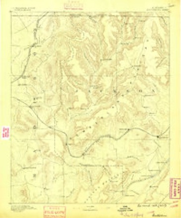
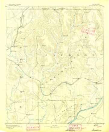
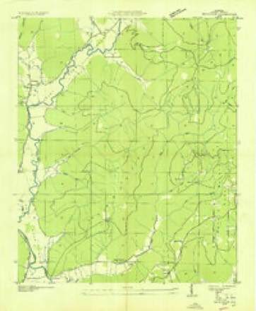
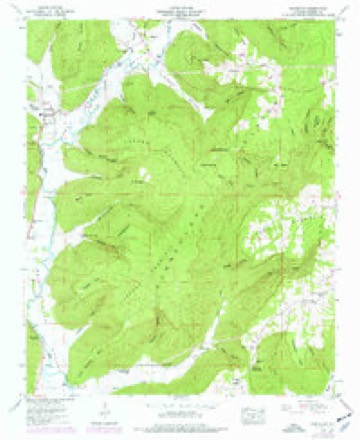
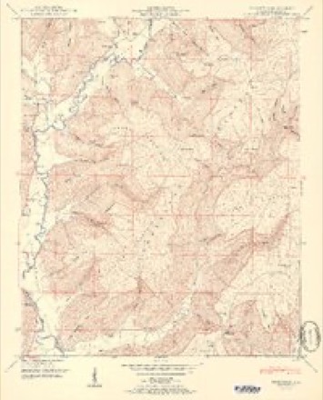
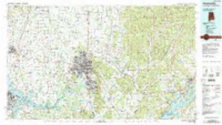
22 topographic sheets cover this place, the earliest surveyed in 1888 and the latest in 1984. It stands in the Princeton census division. It lies in ZIP code area 35766. It lies near Thompson Cove. The Survey maps it on the Princeton quadrangle. It stands 646 feet above sea level.
Topographic sheets covering this place
10 surveys from 22 printed sheetsMatched by testing this settlement's coordinate against the published boundary of every sheet in the United States Geological Survey's historical collection. Each opens the scanned sheet at the Survey.
- 1888 USGS Scottsboro quadrangle1:125000
- 1892 USGS Scottsboro quadrangle1:125000, 5 printings
- 1936 USGS Princeton quadrangle1:24000
- 1948 USGS Princeton quadrangle1:24000, 3 printings
- 1951 USGS Princeton quadrangle1:24000, 2 printings
- 1956 USGS Gadsden quadrangle1:250000, 3 printings
- 1958 USGS Gadsden quadrangle1:250000
- 1960 USGS Gadsden quadrangle1:250000, 2 printings
- 1963 USGS Gadsden quadrangle1:250000
- 1984 USGS Huntsville quadrangle1:100000, 3 printings




Fires near this place
14 since 1998Regional context, not property-specific evidence. The federal wildfire occurrence database lists 14 fires within 5 miles of Princeton between 1998 and 2019, burning about 834 acres in total. None started naturally. 7 were recorded as arson. Distance is straight-line from the map coordinates, so a fire counted here may appear on a neighbouring settlement's page as well.
| Reported cause | Fires |
|---|---|
| Arson/incendiarism | 7 |
| Debris and open burning | 4 |
| Missing data/not specified/undetermined | 3 |
The most recent of them, most recent first, with the day each was reported and the service that recorded it.
| Date | Cause | Size | Reported by | Name on the report |
|---|---|---|---|---|
| 6 September 1999 | Arson/incendiarism | 9.0 acres | Alabama Forestry Commission | not named |
| 29 May 2011 | Arson/incendiarism | 16 acres | Alabama Forestry Commission | CR 65, AL |
| 7 April 2010 | Debris and open burning | 8.0 acres | Alabama Forestry Commission | not named |
| 16 April 2010 | Debris and open burning | 510 acres | Alabama Forestry Commission | not named |
| 8 March 2015 | Missing data/not specified/undetermined | 3.0 acres | Alabama Forestry Commission | NOR-20150308-001 |
| 5 March 2006 | Arson/incendiarism | 4.0 acres | Alabama Forestry Commission | not named |
| 3 March 2006 | Debris and open burning | 63 acres | Alabama Forestry Commission | not named |
| 11 March 2001 | Arson/incendiarism | 30 acres | Alabama Forestry Commission | not named |
Settlements close enough to share some of these fires:
Storms near this place
10 since 2000Regional context, not property-specific evidence. The National Weather Service names Princeton in 10 storm reports between 2000 and 2025: 3 thunderstorm wind, 2 flash flood, 2 tornado, 1 hail. No death or injury is recorded in these reports. Each account below is quoted exactly as the forecast office filed it, from the NOAA Storm Events Database, and each date opens the federal record of that event.
| When | Event | Place named | Harm | What the report says |
|---|---|---|---|---|
| May 2024 | Tornado (EF1) | Princeton | $155,000 | A brief tornado touched down on a ridgetop northwest of Princeton, and then crossed a field as it uprooted and snapped trees before crossing County Road 508. At this location, numerous hardwood and softwood trees were knocked down. Some of the hardwood trees uprooted here were 6-7 feet in diameter, with several pine trees snapped about 10 feet above the ground. It was at this point that the tornado was the strongest, with up to 104 mph winds. Also at this location, a manufactured home (single-wide) sustained major damage, with the home shifting about 10-15 feet back from its original location. There were no tie-downs for the home noted, but more than half of the roof was destroyed with insulation strewn for about 30 yards into the trees behind the home. Further south and east of this location, the tornado dissipated as it crossed over the terrain just east of Lick Fork. |
| January 2012 | Flash Flood | Princeton | $30,000 | Homes were evacuated near the intersection of Highways 79 and 35. Volunteer fire fighters assisted people flooded in their homes at Stevens Gap, between Woodville and Limrock/Aspel. Several roads and intersections were barricaded or closed due to flash flooding throughout west central, central and southwest Jackson County.||In the Woodville and Limrock areas: Babe Wright and Cathedral Caverns Roads, Thomas Lane, County Road 8. 12-18 inches of water on Highway 35.||County Road 20 was flooded in Pleasant Groves.||Several roads were flooded in Hollywood. |
| December 2000 | Thunderstorm Wind | Princeton | $3,000 | Trees and power lines were knocked over along SR 65 in western Jackson County. |
| October 2021 | Thunderstorm Wind | Princeton | $1,000 | Trees were knocked down on CR 3 on Putnam Mountain near Princeton. Time estimated by radar. |
| August 2025 | Flash Flood | Princeton | - | Four to eight inches of water covering Hwy 65 in Holly Tree. Ditches are overflowing and water is rising due to runoff from terrain. |
| September 2021 | Flood | Princeton | - | Hwy 65 underwater and impassable near Princeton. |
| July 2017 | Thunderstorm Wind | Princeton | - | Trees were knocked down onto CR 3. |
| November 2016 | Tornado (EF1) | Princeton | - | DEC 2 2016 Update...|NWS and UAH survey team determined that the Monte Sano EF-2 tornado|tracked into Western Jackson County and crossed over Putnam|Mountain. The team observed mainly EF-1 and EF-0 damage. Numerous|hardwood trees were either snapped or uprooted as the tornado|crossed the western slope of Putnam Mountain along with a homestead|sustaining minor roof damage and damage to a small shed. Near the ridge |top, significant tree damage was reported near a small camp ground. Several|camper trailer sustained damage from the downed trees. Additional|ridge top tree damage was observed slightly further to the WSW along CR-303|but was rated lower to slight beetle rot. The tornado continued downslope |where more hardwood trees were snapped or uprooted along with a camper trailer|that destroyed in the valley. |
| November 2008 | Heavy Rain | Princeton | - | Two to four inches of rainfall fell in less than 12 hours across western portions of Jackson county near the Princeton community. A total of 3.59 inches of rainfall fell during this time. |
| March 2003 | Hail | Princeton | - | penny size hail reported. |
Nearest settlements
The eight closest, with where each one stands in the county. Distances are straight-line, computed from the Geographic Names Information System coordinates.
| Map | Place | Distance | Sheets |
|---|---|---|---|
| Beachboro (historical) | 2.0 miles | 22 | |
| Larkins Fork (historical) | 2.8 miles | 22 | |
| Swaim | 3.0 miles | 22 | |
| Hollytree | 3.1 miles | 23 | |
| Padgett (historical) | 3.7 miles | 23 | |
| Baileytown | 4.0 miles | 22 | |
| Larkin | 4.8 miles | 21 | |
| Estillfork | 6.0 miles | 21 |
Elsewhere
Matched on this settlement's Geographic Names Information System number rather than its name, so it cannot be a different place of the same name in another state.
| Wikipedia article on Princeton | An encyclopaedic summary. Its text is share-alike, so it is linked here rather than copied. |
| Wikidata item Q15051806 | The structured record the population and elevation above come from. Public domain (CC0). |
Provenance
This settlement is recorded in the Geographic Names Information System as feature 153067. The sheet list is computed by point-in-boundary test against the United States Geological Survey's historical topographic inventory. Both are works of the United States government and carry no copyright under 17 U.S.C. 105.
Wildfire. Short, Karen C. 2022. Spatial wildfire occurrence data for the United States, 1992-2020 [FPA_FOD_20221014]. 6th Edition. Fort Collins, CO: Forest Service Research Data Archive. https://doi.org/10.2737/RDS-2013-0009.6 Collected with United States Government funding and usable without additional permissions or fees.
Storms. NOAA National Centers for Environmental Information, Storm Events Database https://www.ncei.noaa.gov/stormevents/ A work of the United States government, no copyright under 17 U.S.C. 105. Narratives are quoted verbatim from the National Weather Service report and are not edited or summarised.