 Block
Seven Hills, Alabama
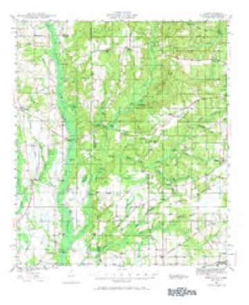
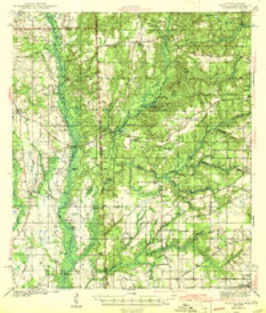
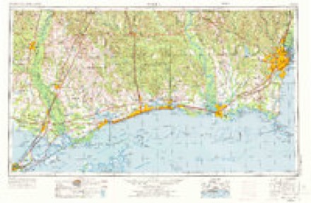
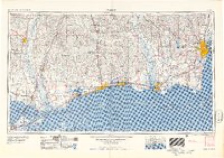
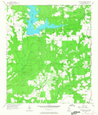
24 topographic sheets cover this place, the earliest surveyed in 1941 and the latest in 1994. It stands in the Tanner Williams census division. It lies in ZIP code area 36695. It stands on Hamilton Creek. The Survey maps it on the Tanner Williams quadrangle.
Topographic sheets covering this place
11 surveys from 24 printed sheetsMatched by testing this settlement's coordinate against the published boundary of every sheet in the United States Geological Survey's historical collection. Each opens the scanned sheet at the Survey.
- 1941 USGS Hurley quadrangle1:62500, 3 printings
- 1943 USGS Hurley quadrangle1:62500, 2 printings
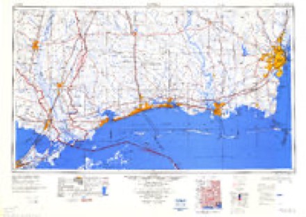
- 1953 USGS Mobile quadrangle1:250000, 3 printings
- 1957 USGS Mobile quadrangle1:250000, 3 printings
- 1957 USGS Tanner Williams quadrangle1:24000, 5 printings
- 1960 USGS Mobile quadrangle1:250000
- 1963 USGS Mobile quadrangle1:250000
- 1965 USGS Mobile quadrangle1:250000
- 1984 USGS Mobile quadrangle1:250000, 3 printings
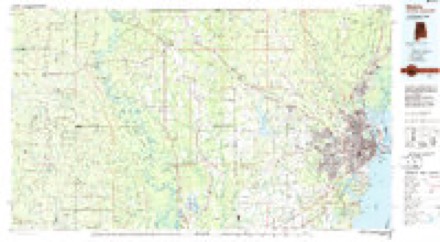
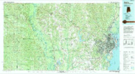
- 1984 USGS Mobile quadrangle1:100000
- 1994 USGS Mobile quadrangle1:100000
Fires near this place
382 since 1994Regional context, not property-specific evidence. The federal wildfire occurrence database lists 382 fires within 5 miles of Seven Hills between 1994 and 2020, burning about 5,465 acres in total. 5 started naturally. 169 were recorded as arson. Distance is straight-line from the map coordinates, so a fire counted here may appear on a neighbouring settlement's page as well.
| Reported cause | Fires |
|---|---|
| Arson/incendiarism | 169 |
| Debris and open burning | 112 |
| Missing data/not specified/undetermined | 50 |
| Recreation and ceremony | 21 |
| Equipment and vehicle use | 12 |
| Misuse of fire by a minor | 10 |
| Natural | 5 |
| Smoking | 2 |
| Railroad operations and maintenance | 1 |
The most recent of them, most recent first, with the day each was reported and the service that recorded it.
| Date | Cause | Size | Reported by | Name on the report |
|---|---|---|---|---|
| 8 September 1995 | Debris and open burning | 5.0 acres | Alabama Forestry Commission | not named |
| 6 September 1997 | Debris and open burning | under an acre | Alabama Forestry Commission | not named |
| 5 September 2006 | Equipment and vehicle use | under an acre | Alabama Forestry Commission | not named |
| 30 September 1994 | Debris and open burning | 2.0 acres | Alabama Forestry Commission | not named |
| 28 September 2019 | Missing data/not specified/undetermined | 10 acres | Alabama Forestry Commission | 20190928-10 |
| 28 September 2003 | Equipment and vehicle use | 3.0 acres | Alabama Forestry Commission | DYKES ROAD, AL |
| 27 September 1995 | Recreation and ceremony | 1.0 acres | Alabama Forestry Commission | not named |
| 26 September 1998 | Arson/incendiarism | 5.0 acres | Alabama Forestry Commission | not named |
Settlements close enough to share some of these fires:
Mines and quarries near this place
8 within 5 milesRegional context, not property-specific evidence. The federal mineral resources record lists 8 workings within 5 miles of Seven Hills: 6 producers, 1 past producer, 1 prospect. 6 still produce. What was taken out: Sand and Gravel, Construction, Clay, Sand and Gravel, Construction, Clay. Distance is straight-line from the map coordinates, so a quarry counted here may appear on a neighbouring settlement's page as well.
| Where | Site | Commodity | Status | Recorded |
|---|---|---|---|---|
| Mob 7 Clay Prospect | Clay | Prospect | ||
| Garry Gurley Co. Pit | Sand and Gravel, Construction | Producer | ||
| Unnamed Quarry | Sand and Gravel, Construction | Producer | Quartz | |
| Unnamed Quarry | Sand and Gravel, Construction | Producer | Quartz | |
| Adams Dirt Pit | Sand and Gravel, Construction, Clay | Producer | Unconsolidated Sediments | |
| Harris Quarry | Sand and Gravel, Construction, Clay | Producer | Unconsolidated Sediments | |
| John Maples Pit | Sand and Gravel, Construction, Clay | Past Producer | ||
| Maples Pit | Sand and Gravel, Construction, Clay | Producer | Unconsolidated Sediments |
Storms near this place
14 since 2004Regional context, not property-specific evidence. The National Weather Service names Seven Hills in 14 storm reports between 2004 and 2023: 5 thunderstorm wind, 4 flash flood, 2 hail, 2 tornado. No death or injury is recorded in these reports. Each account below is quoted exactly as the forecast office filed it, from the NOAA Storm Events Database, and each date opens the federal record of that event.
| When | Event | Place named | Harm | What the report says |
|---|---|---|---|---|
| August 2004 | Lightning | Seven Hills | $500,000 | Lightning struck the roof of a middle school in west Mobile. A fire smoldered overnight before anyone noticed it, damaging thirty to forty percent of the roof. The school is expected to remain closed until after christmas while repairs are made. The students will attend another school while repairs are being made. |
| January 2017 | Thunderstorm Wind | Seven Hills | $10,000 | A large tree was blown down onto a home on Darling Lane. |
| June 2015 | Thunderstorm Wind | Seven Hills | $2,000 | Severe thunderstorm wind gusts blew down power lines near the intersection of Airport Blvd and Calvert Rd. |
| February 2014 | Thunderstorm Wind | Seven Hills | $2,000 | An NWS employee reported a large tree down on Newman Road. |
| May 2016 | Thunderstorm Wind | Seven Hills | $1,000 | A severe thunderstorm wind gusts down a tree at Woodberry Road and Briarcliff Drive. |
| March 2022 | Tornado (EF1) | Seven Hills | - | The tornado touched down on Lakefront Ct where it produced very minor|tree damage, after which the tornado tracked off to the northeast.|The most significant structural damage occurred at a residence near|the intersection of Lakefront Dr and Dogwood Circle. Roof damage|and damage to multiple hardwood/softwood trees was noted. The tornado|then continued off to the northeast where it weakened slightly as it|crossed Scenic View Dr. It then continued northeast and increased in|strength as it approached Busby Rd where multiple softwood trees|were found snapped. The tornado lifted somewhere to the northeast of|Busby Rd before crossing Schmidt Ln and/or Johnson Rd where no damage|was found.||The team surveyed reports of damage on Repoll Rd, but only sporadic|minor wind damage was noted. |
| April 2021 | Thunderstorm Wind | Seven Hills | - | Broken windows reported at a home on the south side of eastern portions of Big Creek Lake. A 2x4 board also pierced through the exterior wall of the home. |
| August 2021 | Flash Flood | Seven Hills | - | Heavy rain caused water to cover roadways on Airport Blvd west of Johnson Road, Newman Road between Airport Blvd and Busby Road, Gaston Loop at Tom Gaston Road, Cat Deakle Road west of Gaston Loop and Tanner Williams at Hubert Pierce. |
| October 2019 | Tornado (EF0) | Seven Hills | - | Security camera footage from an NWS employee shows a brief tornado touchdown on Gwinnett Court West just south of Airport Boulevard. The tornado moved north and damaged the metal roof of a storage facility on Airport Boulevard just east of Snow Road. The storm survey team could not find any additional damage to the north of Airport Boulevard. |
| August 2017 | Flash Flood | Seven Hills | - | Numerous reports of flooding across central and southern Mobile County. |
| January 2010 | Flash Flood | Seven Hills | - | Water was flowing over Newman Road just south of Airport Boulevard. Water depth was reported to be about 6 inches. |
| January 2010 | Flash Flood | Seven Hills | - | Water was flowing over Airport Boulevard one mile west of Johnson Road. Water depth was reported to be 6 inches. |
| June 2023 | Hail | Seven Hills | - | no account filed |
| July 2008 | Hail | Seven Hills | - | no account filed |
Nearest settlements
The eight closest, with where each one stands in the county. Distances are straight-line, computed from the Geographic Names Information System coordinates.
| Map | Place | Distance | Sheets |
|---|---|---|---|
| Alderbrook | 1.4 miles | 24 | |
| Cottage Park Estates | 2.7 miles | 24 | |
| Dawes Point | 2.9 miles | 24 | |
| Dawes | 4.1 miles | 23 | |
| Creekwood | 4.4 miles | 32 | |
| Cottage Hill Estates | 4.4 miles | 32 | |
| Country Squire Estates | 4.5 miles | 32 | |
| Petaluma | 4.6 miles | 24 |
Provenance
This settlement is recorded in the Geographic Names Information System as feature 126559. The sheet list is computed by point-in-boundary test against the United States Geological Survey's historical topographic inventory. Both are works of the United States government and carry no copyright under 17 U.S.C. 105.
Wildfire. Short, Karen C. 2022. Spatial wildfire occurrence data for the United States, 1992-2020 [FPA_FOD_20221014]. 6th Edition. Fort Collins, CO: Forest Service Research Data Archive. https://doi.org/10.2737/RDS-2013-0009.6 Collected with United States Government funding and usable without additional permissions or fees.
Mines and quarries. USGS Mineral Resources Data System (MRDS) https://mrdata.usgs.gov/mrds/ A work of the United States government, no copyright under 17 U.S.C. 105.
Storms. NOAA National Centers for Environmental Information, Storm Events Database https://www.ncei.noaa.gov/stormevents/ A work of the United States government, no copyright under 17 U.S.C. 105. Narratives are quoted verbatim from the National Weather Service report and are not edited or summarised.