 Block
Simmsville, Alabama
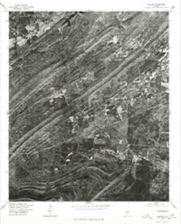
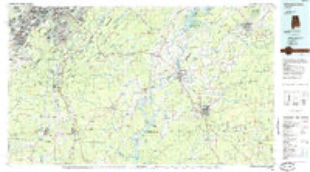
23 topographic sheets cover this place, the earliest surveyed in 1890 and the latest in 1984. It stands in the Alabaster-Helena census division. It lies in ZIP code area 35043. The Survey maps it on the Chelsea quadrangle.
Topographic sheets covering this place
10 surveys from 23 printed sheetsMatched by testing this settlement's coordinate against the published boundary of every sheet in the United States Geological Survey's historical collection. Each opens the scanned sheet at the Survey.
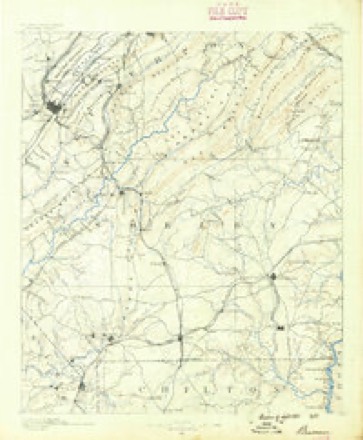
- 1890 USGS Bessemer quadrangle1:125000
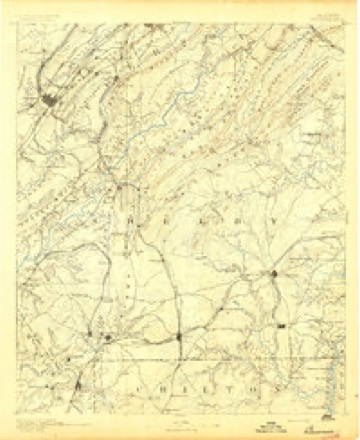
- 1892 USGS Bessemer quadrangle1:125000, 2 printings
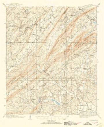
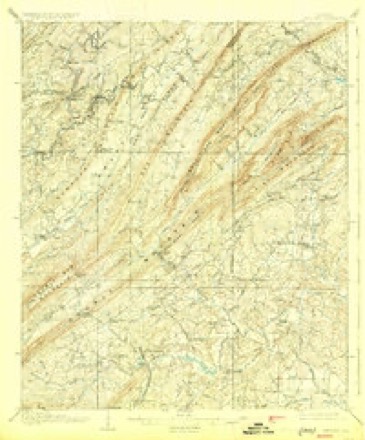
- 1906 USGS Vandiver quadrangle1:62500
- 1908 USGS Vandiver quadrangle1:62500, 3 printings
- 1953 USGS Birmingham quadrangle1:250000, 4 printings
- 1956 USGS Birmingham quadrangle1:250000
- 1957 USGS Birmingham quadrangle1:250000
- 1959 USGS Chelsea quadrangle1:24000, 7 printings
- 1975 USGS Chelsea quadrangle1:24000
- 1984 USGS Birmingham South quadrangle1:100000, 2 printings
Fires near this place
106 since 1994Regional context, not property-specific evidence. The federal wildfire occurrence database lists 106 fires within 5 miles of Simmsville between 1994 and 2020, burning about 1,105 acres in total. 2 started naturally. 21 were recorded as arson. Distance is straight-line from the map coordinates, so a fire counted here may appear on a neighbouring settlement's page as well.
| Reported cause | Fires |
|---|---|
| Debris and open burning | 38 |
| Missing data/not specified/undetermined | 22 |
| Arson/incendiarism | 21 |
| Railroad operations and maintenance | 11 |
| Equipment and vehicle use | 4 |
| Recreation and ceremony | 4 |
| Natural | 2 |
| Power generation/transmission/distribution | 2 |
| Misuse of fire by a minor | 1 |
| Smoking | 1 |
The most recent of them, most recent first, with the day each was reported and the service that recorded it.
| Date | Cause | Size | Reported by | Name on the report |
|---|---|---|---|---|
| 6 September 1995 | Debris and open burning | 1.0 acres | Alabama Forestry Commission | not named |
| 6 September 1995 | Debris and open burning | 2.0 acres | Alabama Forestry Commission | not named |
| 4 September 1995 | Debris and open burning | 3.0 acres | Alabama Forestry Commission | not named |
| 30 September 2016 | Debris and open burning | 2.0 acres | Alabama Forestry Commission | 20160930-6 |
| 27 September 2015 | Missing data/not specified/undetermined | 3.0 acres | Alabama Forestry Commission | NER-20150927-001 |
| 18 September 1999 | Arson/incendiarism | 4.0 acres | Alabama Forestry Commission | not named |
| 14 September 1998 | Arson/incendiarism | 35 acres | Alabama Forestry Commission | not named |
| 1 September 1995 | Debris and open burning | 2.0 acres | Alabama Forestry Commission | not named |
Settlements close enough to share some of these fires:
Mines and quarries near this place
7 within 5 milesRegional context, not property-specific evidence. The federal mineral resources record lists 7 workings within 5 miles of Simmsville: 4 unknowns, 2 past producers, 1 prospect. None of them still produces. What was taken out: Iron, Perlite, Vermiculite. Distance is straight-line from the map coordinates, so a quarry counted here may appear on a neighbouring settlement's page as well.
| Where | Site | Commodity | Status | Recorded |
|---|---|---|---|---|
| Irondale Plant | Vermiculite | Past Producer | ||
| W. R. Grace Irondale Plant | Perlite | Past Producer | ||
| Johnson Prospect | Iron | Prospect | ||
| Unnamed | Iron | Unknown | ||
| Unnamed | Iron | Unknown | ||
| Unnamed | Iron | Unknown | ||
| Unnamed | Iron | Unknown |
Storms near this place
16 since 2008Regional context, not property-specific evidence. The National Weather Service names Simmsville in 16 storm reports between 2008 and 2025: 12 thunderstorm wind, 2 tornado, 2 hail. No death or injury is recorded in these reports. Each account below is quoted exactly as the forecast office filed it, from the NOAA Storm Events Database, and each date opens the federal record of that event.
| When | Event | Place named | Harm | What the report says |
|---|---|---|---|---|
| February 2008 | Tornado (EF1) | Simmsville | $50,000 | A narrow tornado path began just to the lee of Double Oak Mountain, and continued east-northeastward for about a half mile across the Highland Lakes subdivision. Twenty to 30 trees were either uprooted or snapped. Several homes received damage from direct or indirect hits from falling trees. On one street directly in the path of the tornado, the mailboxes on both sides of the street were sucked open. At Pinecliff Circle and Highland Park Drive, at least 3 homes had roofing or siding stripped off. |
| April 2011 | Thunderstorm Wind | Simmsville | $3,000 | Trees and power lines were blown down along County Road 336 and Sunset Lake Drive near Chelsea. |
| June 2011 | Thunderstorm Wind | Simmsville | $2,000 | Several trees were blown down at the intersection of Narrows Parkway and CR-280. |
| July 2011 | Thunderstorm Wind | Simmsville | $2,000 | Multiple trees were reported down in a neighborhood along County Road 69, just south of Chelsea. |
| June 2009 | Thunderstorm Wind | Simmsville | $1,000 | Trees were blown down on CR-36, about a mile from CR-11, west of Chelsea. |
| May 2025 | Thunderstorm Wind | Simmsville | - | A tree fell across County Road 39 just north of the County Road 74 intersection. |
| May 2025 | Thunderstorm Wind | Simmsville | - | Trees were down across Highway 36 near Willow Branch Ln and Highway 11 near Sports Highland Pkwy. |
| July 2021 | Thunderstorm Wind | Simmsville | - | Several trees uprooted in the city of Chelsea. |
| April 2019 | Tornado (EF0) | Simmsville | - | National Weather Service meteorologists surveyed damage in Shelby County and determined that it was consistent with an EF0 tornado, with maximum sustained winds near 80 mph. The tornado touched down just northeast of County Road 11 near County Road 36. This area was inaccessible, and the tornado start point was based upon a NEXRAD tornado debris signature from the KBMX radar. The tornado navigated rough terrain across Ivy Branch and into the northwest portion of a subdivision along Reach Crest Road and Reach Crest Drive, where thin tree trunks were snapped and other trees were uprooted. One tree was uprooted and fell onto a sports utility vehicle, damaging the rear door and knocking out the window. A nearby residence suffered notable roof damage resulting in three holes that penetrated the ceiling sheet rock and causing water damage to portions of the second level.||The tornado continued northeast where limited uplift to a roof occurred and a wind turbine ventilator was torn off the roof and found over 20 feet away from the home. Across the street along a narrow drainage basin, the funneling of inflow winds likely caused wind speed acceleration that knocked over a heavy metal outdoor grill, tore a few downspouts from their wall anchoring, and downed some fencing by snapping the support posts and blowing the wood at least 10 feet. Further northeast a small portion of a covered drive suffered some uplift of sheathing at North Shelby Baptist Church, where a few trees were snapped or uprooted near the entrance of Belcher Drive. To the east of Highway 280, multiple trees were snapped or uprooted along a portion of Old Highway 280 road near Salser Lane. The tornado tracked north-northeast of this point through uninhabited and inaccessible areas and then reached the Highland Lakes Subdivision where it crossed Highland Lakes Drive and affected areas along Southledge Road. The majority of damage here was due to snapped or uprooted trees though some minor roof damage was noted to a home along Southledge Road. Further northeast along Southledge Road near Ledge Circle, a home lost some shingles and a portion of a backyard fence was downed due to the winds.||The tornado continued northeast and affected some areas along Highland Lakes Trail,|Springhill Lane, Springhill Court, Mountain Trace, and Watersedge Circle. Nearly all of the damage in this area was to uprooted or snapped trees. One home did lose a window likely due to a falling tree. Further northeast the tornado produced tree damage on portions of Knollwood Drive, Watermill Circle, Highland Lakes Trail, Sandhurst Circle, Grove Park Parkway, and Grove Park Circle. Along Grove Park Parkway there was some roof damage to a home along with minor damage to two signs and one street light along the roadway. The tornado damage was confined to trees as it continued northeastward affecting portions of Milners Lane, Crescent Circle, Milners Way, Milner Road West, Milner Way, Hugh Daniel Drive, and Greystone Cove Drive. The tornado gradually weakened in this area and dissipated shortly before reaching Lake Hardwood Drive. |
| April 2018 | Thunderstorm Wind | Simmsville | - | Several trees uprooted at the 1200 Block of Old Highway 280. |
| June 2018 | Thunderstorm Wind | Simmsville | - | Numerous trees uprooted along Highway 280 and across Shelby County. |
| March 2017 | Thunderstorm Wind | Simmsville | - | Trees uprooted and power lines downed near the intersection of Old Highway 280 and Oak Tree Drive. |
| June 2015 | Thunderstorm Wind | Simmsville | - | Numerous trees uprooted and power lines downed along Highway 280 in the Greystone community. |
| June 2015 | Thunderstorm Wind | Simmsville | - | Several trees uprooted near Old Highway 280 and Highway 11. |
| June 2019 | Hail | Simmsville | - | no account filed |
| June 2012 | Hail | Simmsville | - | no account filed |
Nearest settlements
The eight closest, with where each one stands in the county. Distances are straight-line, computed from the Geographic Names Information System coordinates.
| Map | Place | Distance | Sheets |
|---|---|---|---|
| Watkins | 1.1 miles | 23 | |
| New Hope | 2.8 miles | 23 | |
| Indian Springs Village | 3.2 miles | 27 | |
| Indian Springs Ranch | 3.3 miles | 27 | |
| Quail Run | 3.5 miles | 27 | |
| Heritage Oaks | 3.6 miles | 22 | |
| Valley Station | 3.7 miles | 27 | |
| East Saginaw | 3.8 miles | 23 |
Elsewhere
Matched on this settlement's Geographic Names Information System number rather than its name, so it cannot be a different place of the same name in another state.
| Wikidata item Q122559262 | The structured record the population and elevation above come from. Public domain (CC0). |
Provenance
This settlement is recorded in the Geographic Names Information System as feature 157065. The sheet list is computed by point-in-boundary test against the United States Geological Survey's historical topographic inventory. Both are works of the United States government and carry no copyright under 17 U.S.C. 105.
Wildfire. Short, Karen C. 2022. Spatial wildfire occurrence data for the United States, 1992-2020 [FPA_FOD_20221014]. 6th Edition. Fort Collins, CO: Forest Service Research Data Archive. https://doi.org/10.2737/RDS-2013-0009.6 Collected with United States Government funding and usable without additional permissions or fees.
Mines and quarries. USGS Mineral Resources Data System (MRDS) https://mrdata.usgs.gov/mrds/ A work of the United States government, no copyright under 17 U.S.C. 105.
Storms. NOAA National Centers for Environmental Information, Storm Events Database https://www.ncei.noaa.gov/stormevents/ A work of the United States government, no copyright under 17 U.S.C. 105. Narratives are quoted verbatim from the National Weather Service report and are not edited or summarised.