 Block
From the record
13 National Register listings published here.
Sources: the National Register database, National Park Service
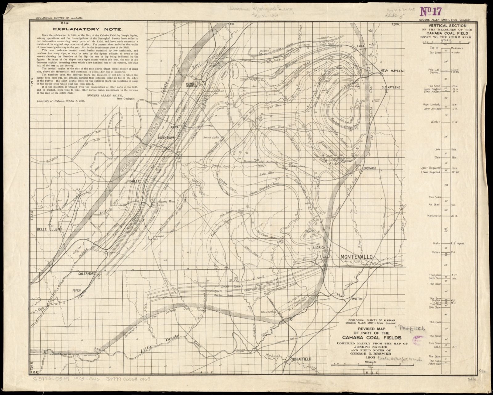
170 topographic sheets and 15 fire insurance atlases across 4 places.
13 National Register listings published here.
Sources: the National Register database, National Park Service
Taken for the Office of War Information and the Farm Security Administration, who photographed the country between 1935 and 1944. Works of United States government photographers, with no known restriction on use. Each opens its catalogue record.
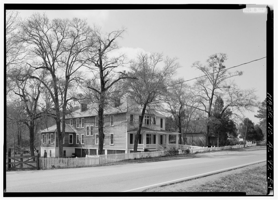
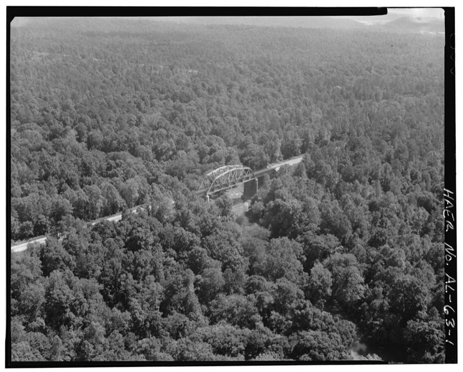
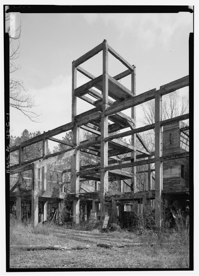
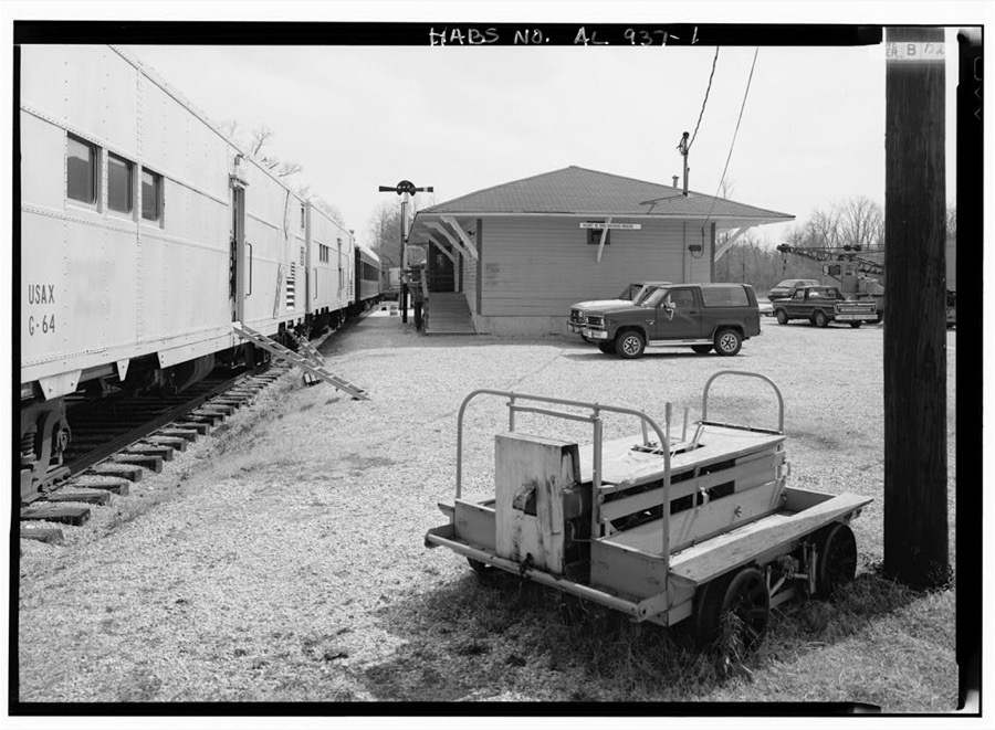
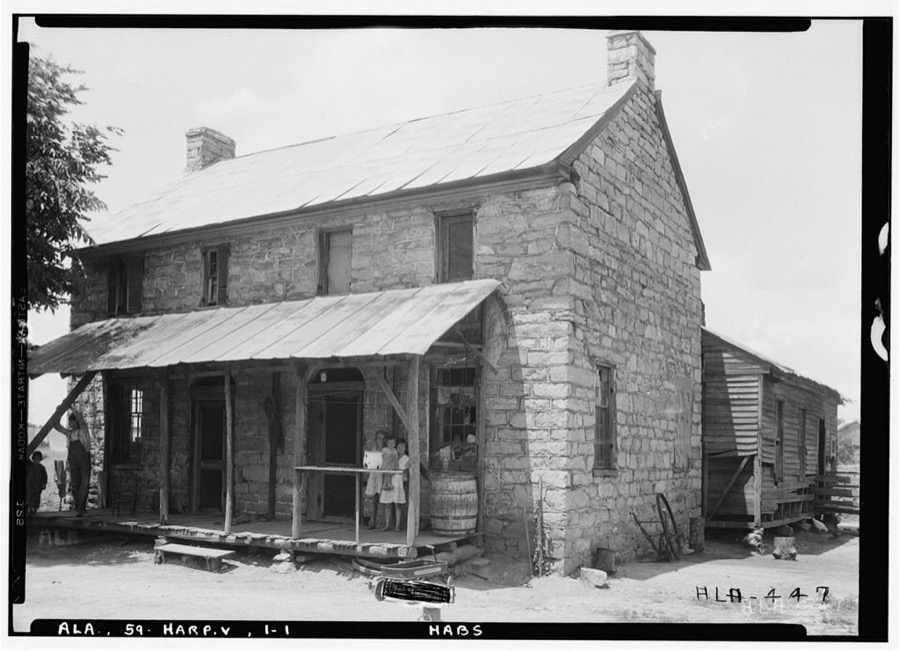
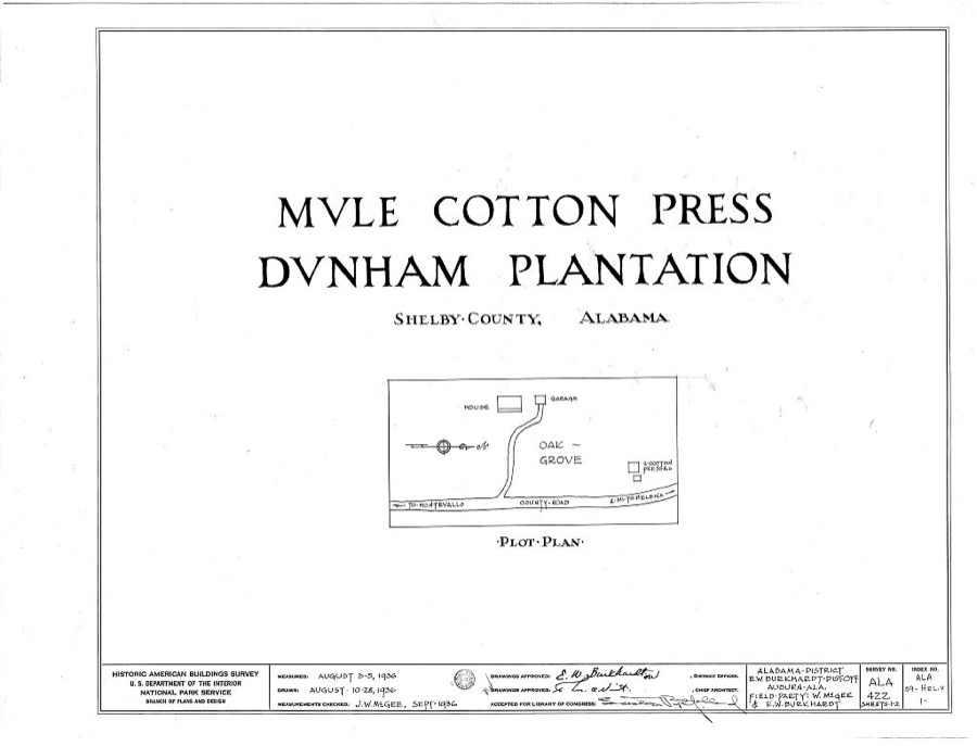
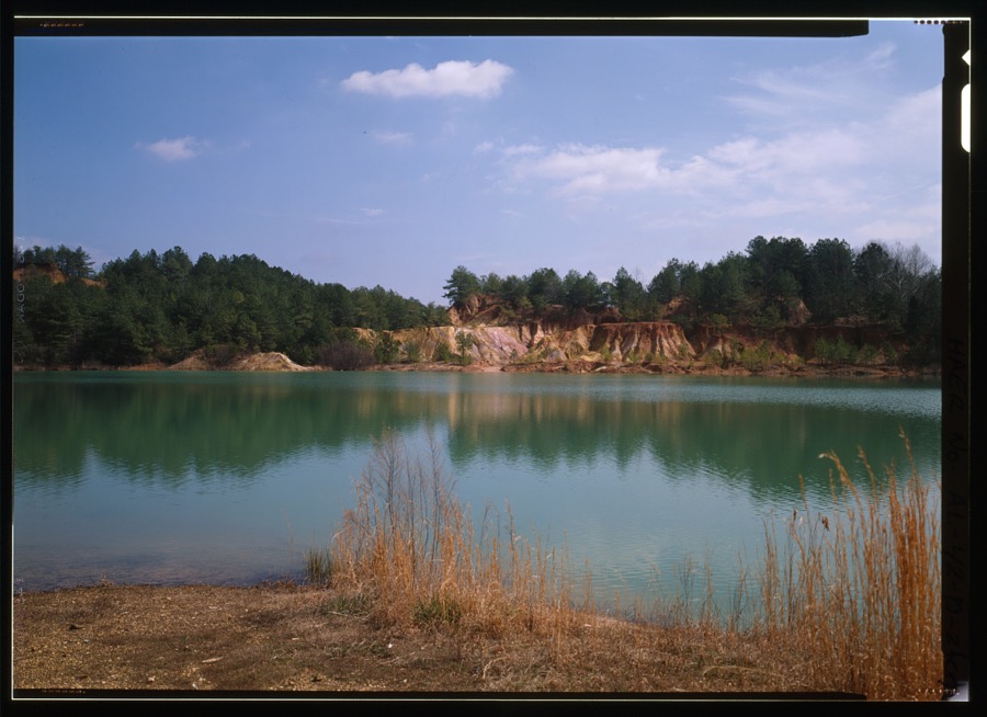
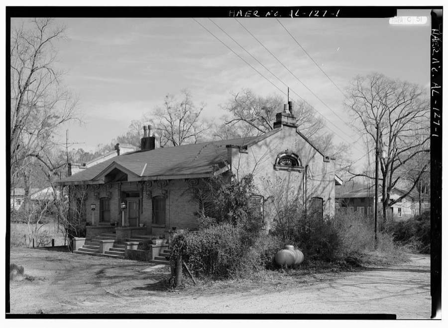
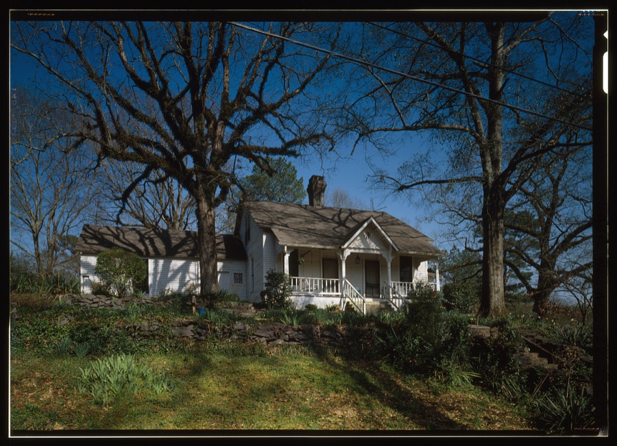
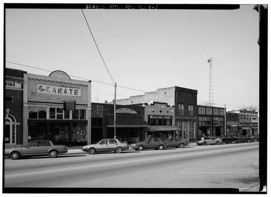
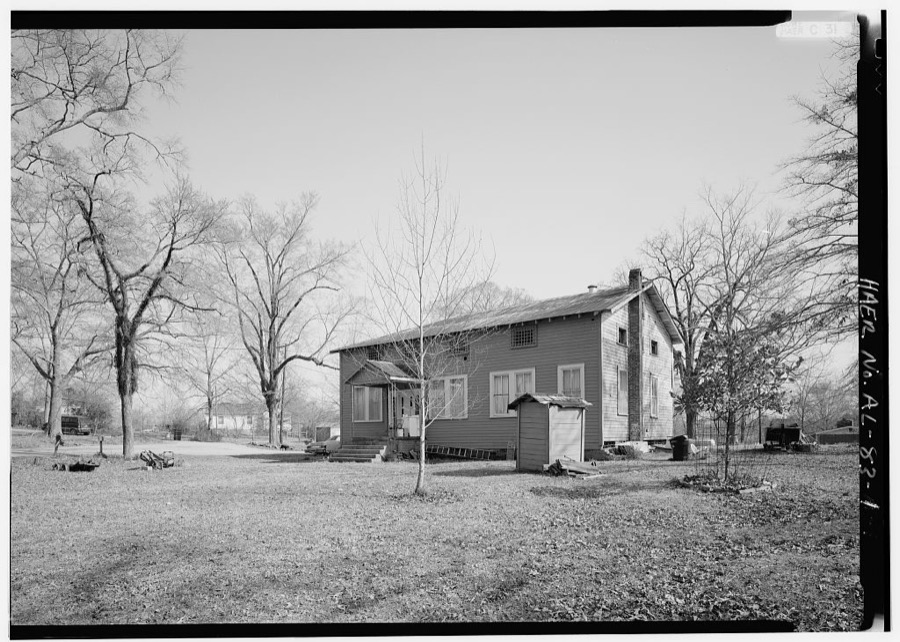
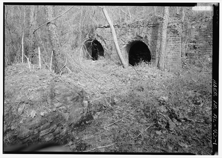
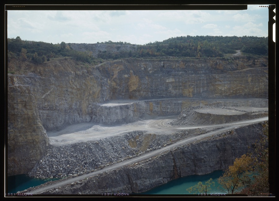
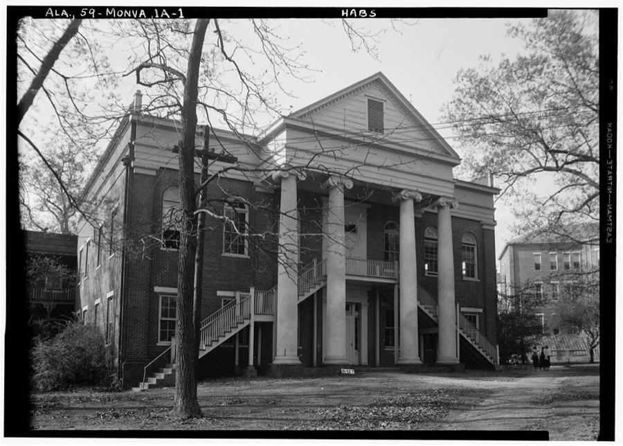
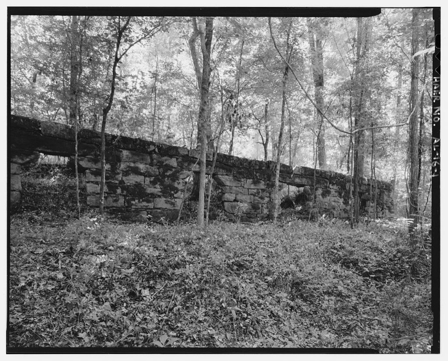
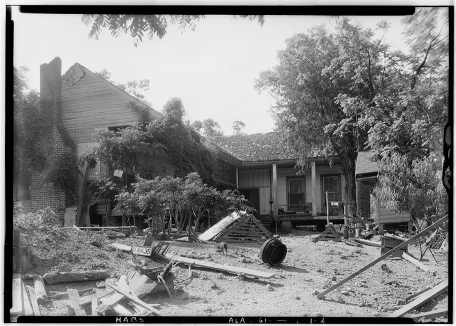
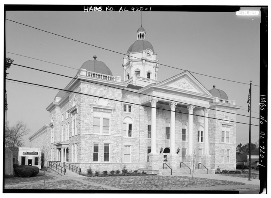
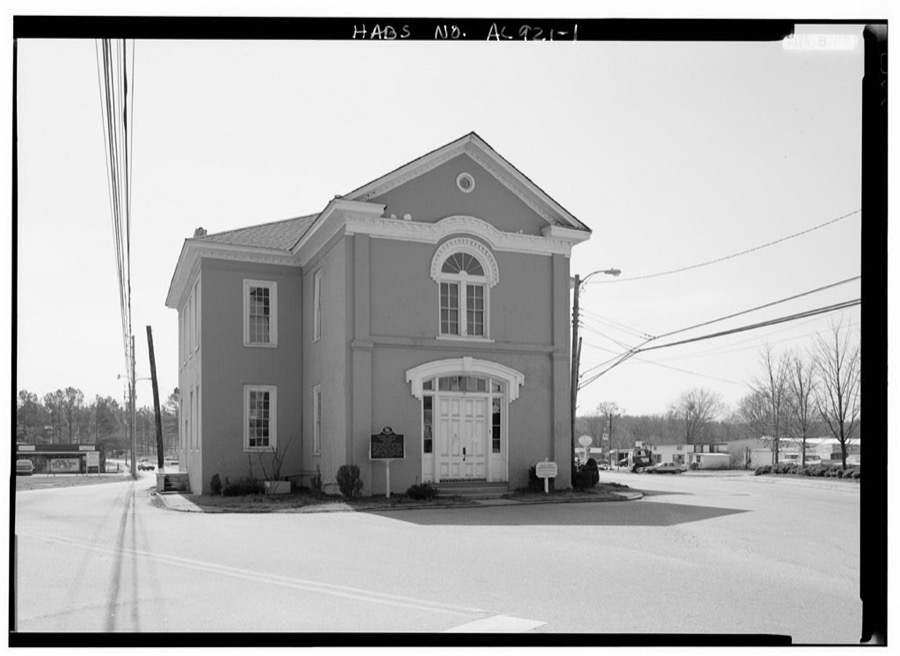
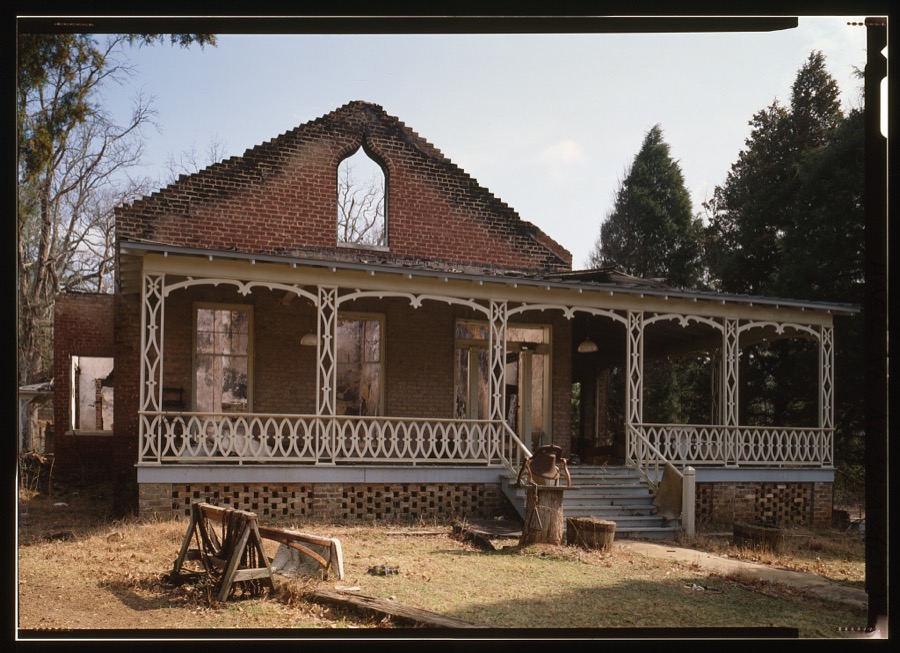
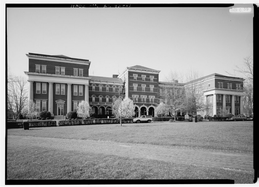
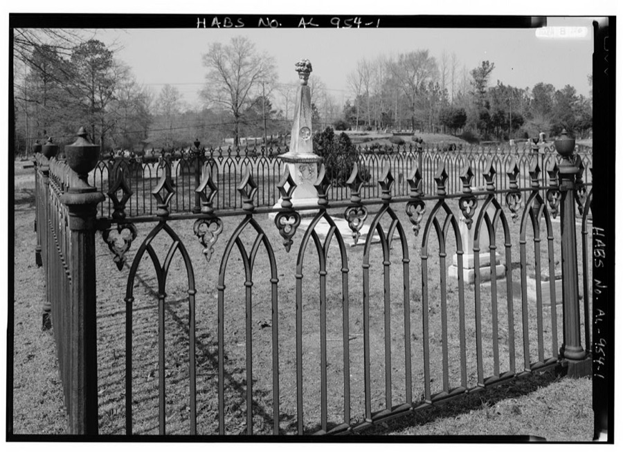
Every property in this county listed on the National Register of Historic Places, with the year it was listed and the federal nomination document.
| Photograph | Property | Type | Listed | Reference |
|---|---|---|---|---|
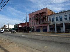 | Calera Downtown Historic District | district | 2006 | 06000188 |
 | Chancellor House | building | 2001 | 01001168 |
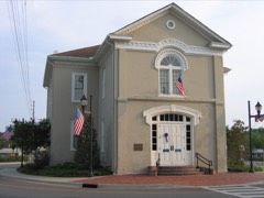 | Columbiana City Hall | building | 1974 | 74000437 |
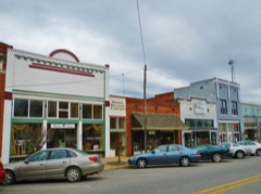 | Downtown Montevallo Historic District | district | 2013 | 13000180 |
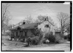 | Farrington Hall | building | 2015 | 15000434 |
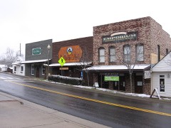 | Helena Historic District | district | 2006 | 06000278 |
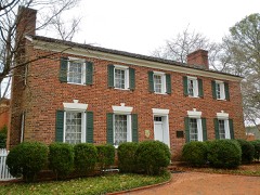 | King House | building | 1972 | 72000179 |
 | McKibbon House | building | 2001 | 01001408 |
 | Peterson Hall | building | 1978 | 78000509 |
 | Peterson-Hall Home | building | 1990 | 90001529 |
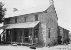 | Rock House, Old | building | 2006 | 06000182 |
| Shoal Creek Club | district | 2022 | 100008439 | |
| Wallace House | building | 2025 | 100011941 |
Selected from the Digital Public Library of America's 1 image records catalogued for this county. Every one shown here carries a public-domain status or a licence that permits reuse on a site that carries advertising; non-commercial, share-alike and restricted images are excluded. The selection is spread across the county's towns (at most eight per town), so no single institution's bulk upload crowds out the rest. Each opens the holding library's record, and the complete set at the Digital Public Library of America is one click away.
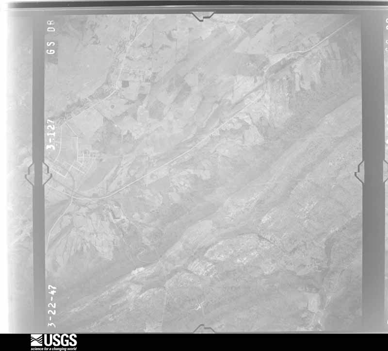
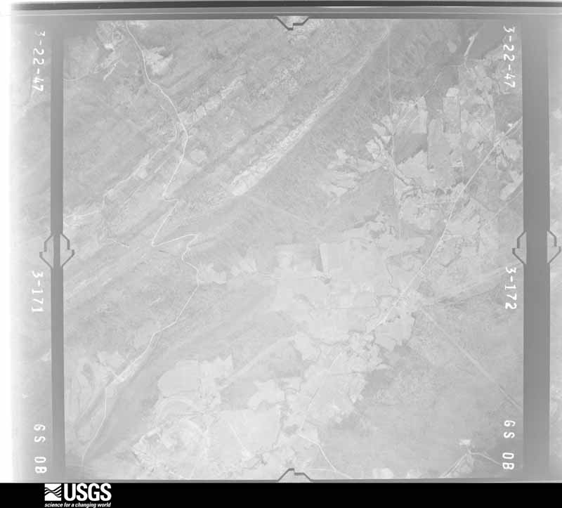
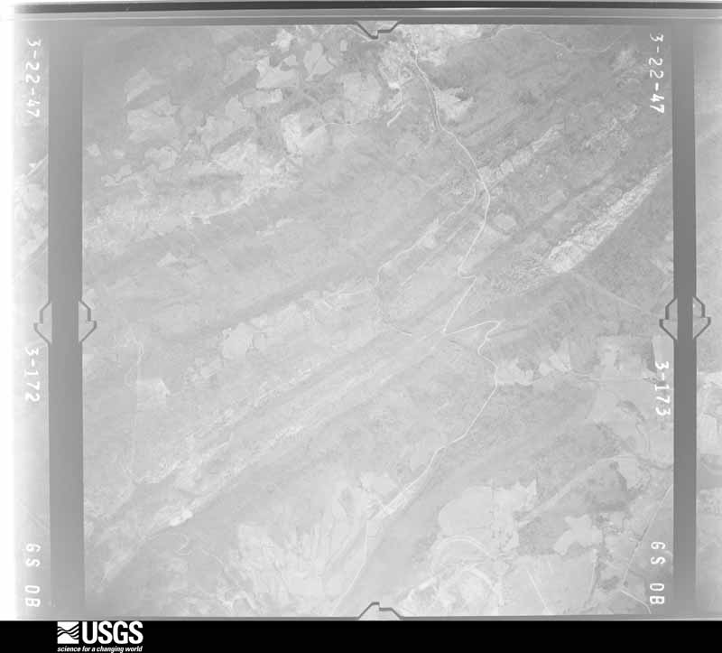
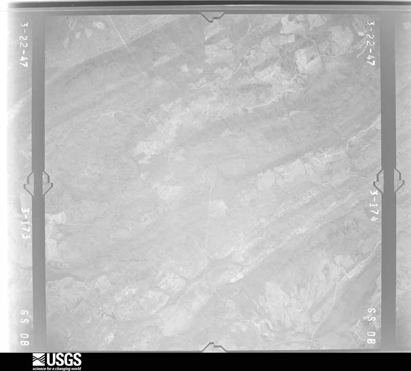
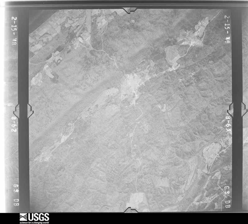
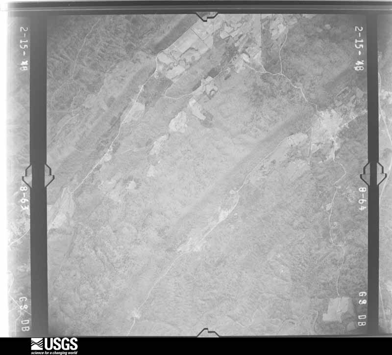
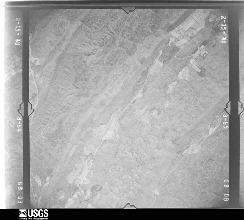
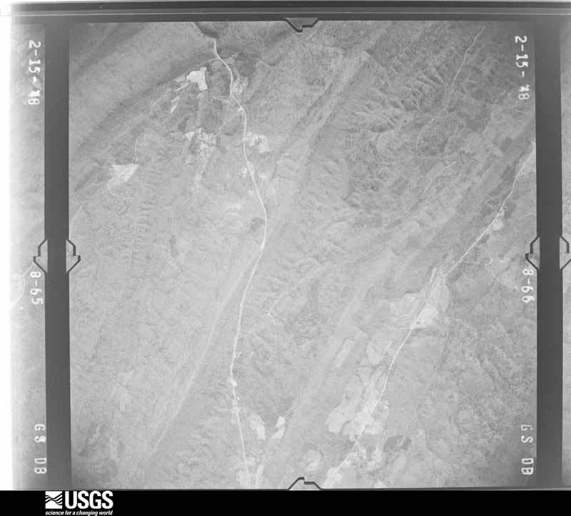
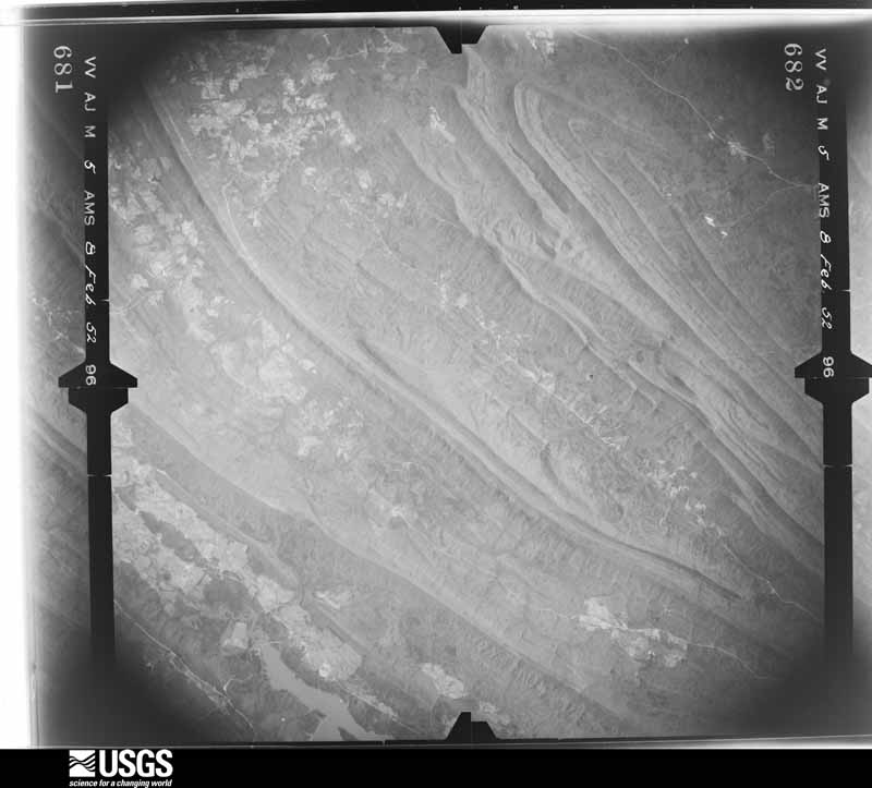
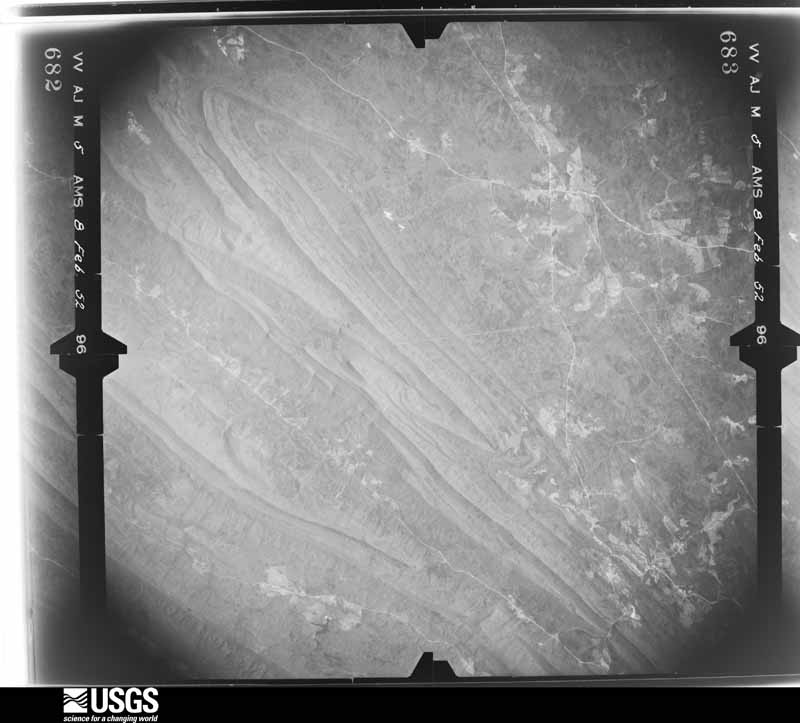
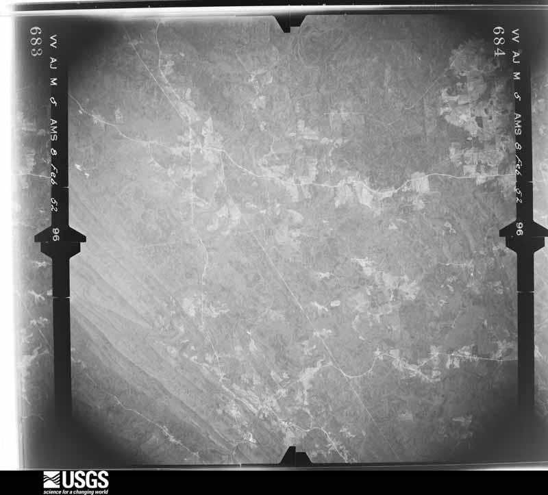
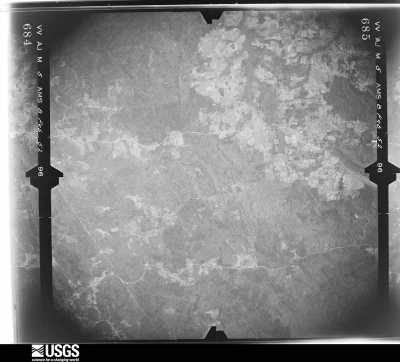
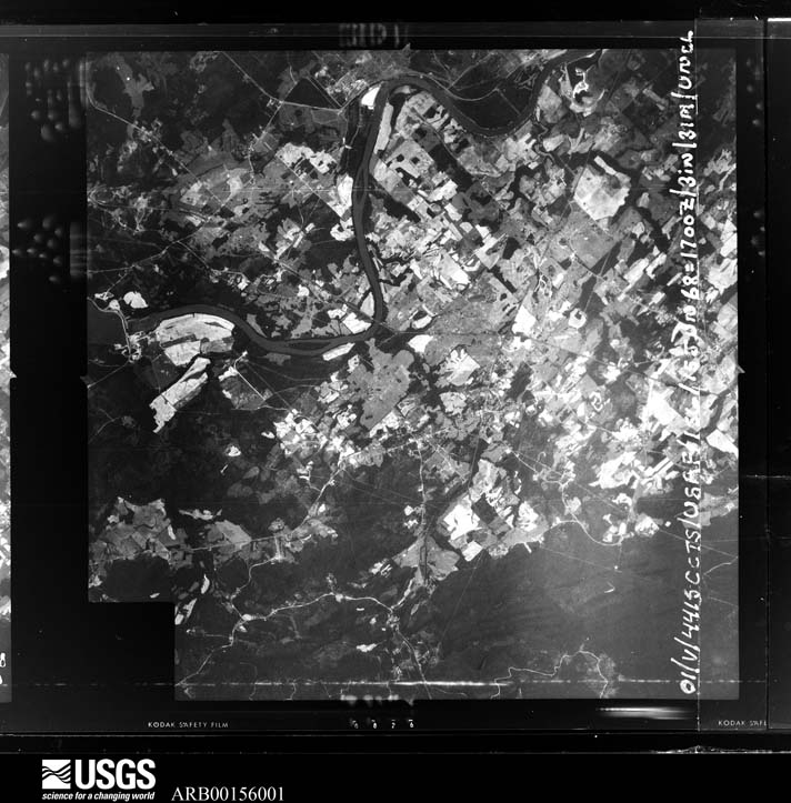
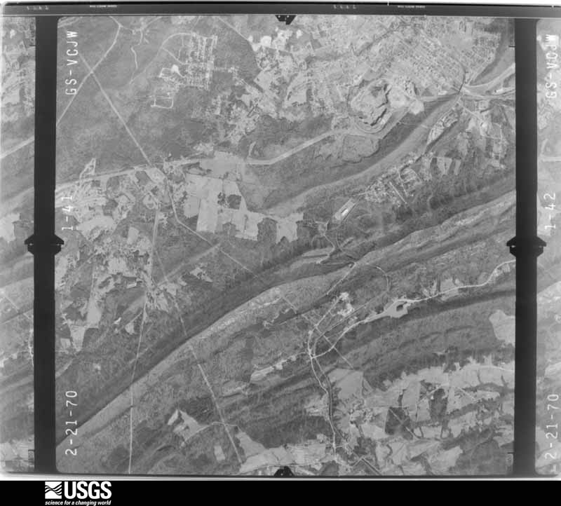
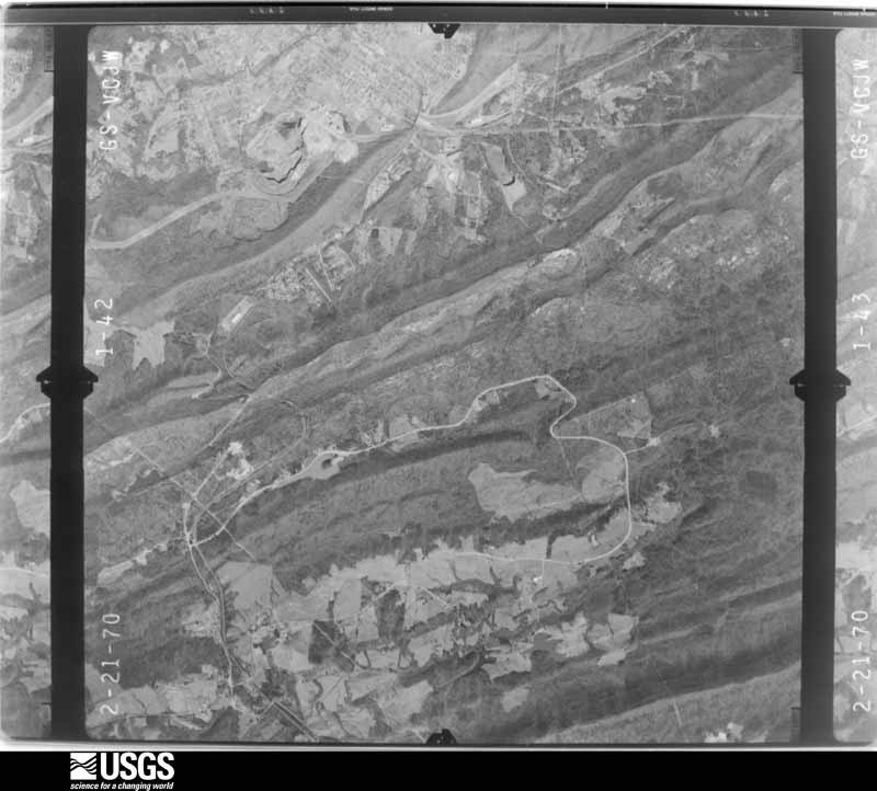
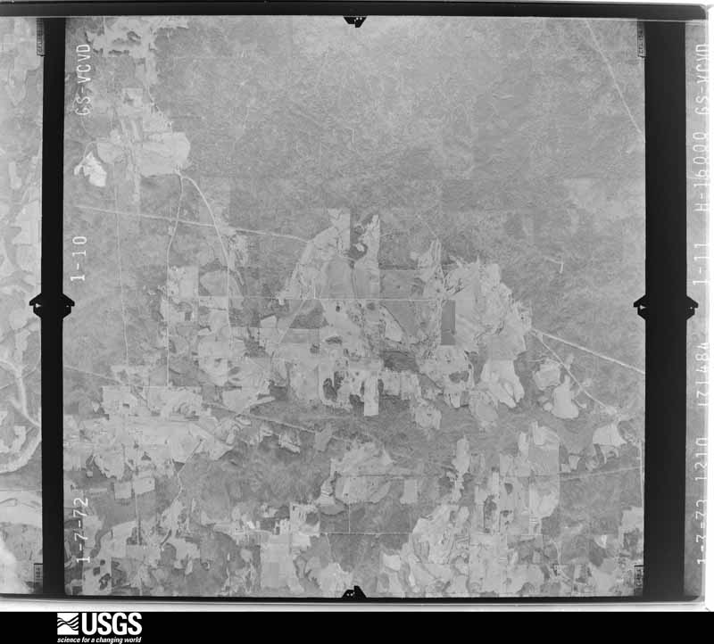
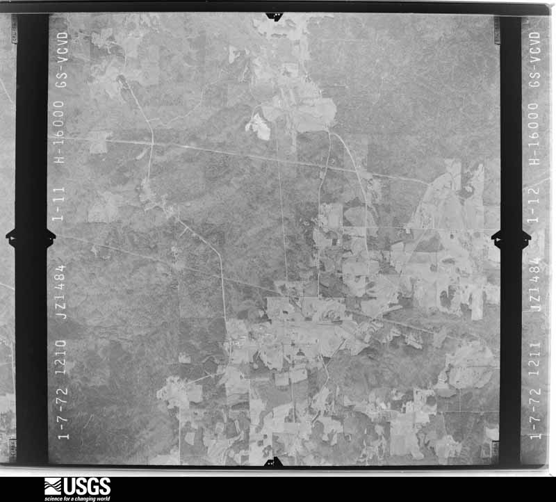
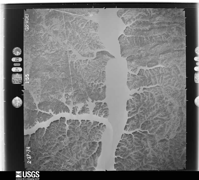
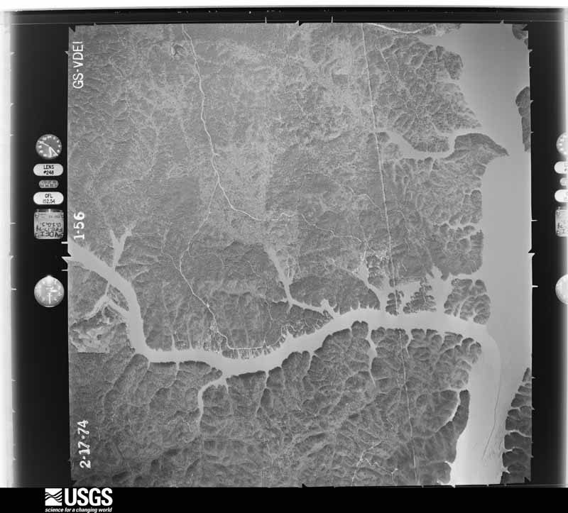
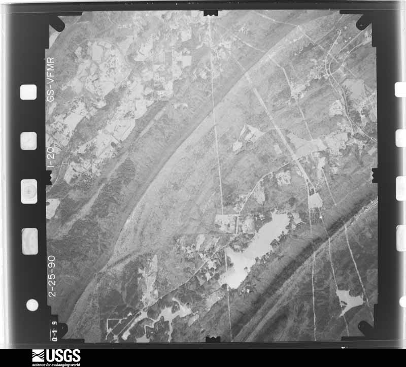
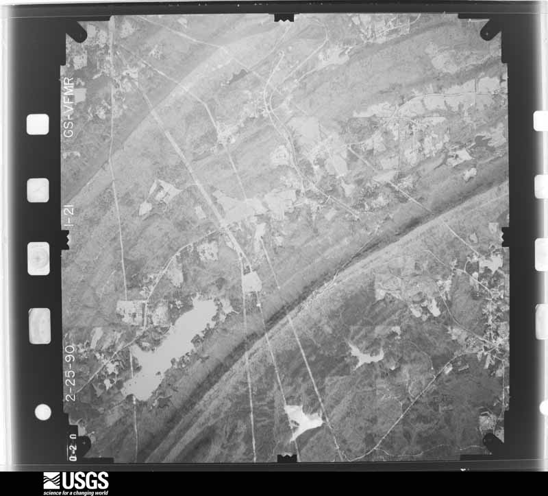
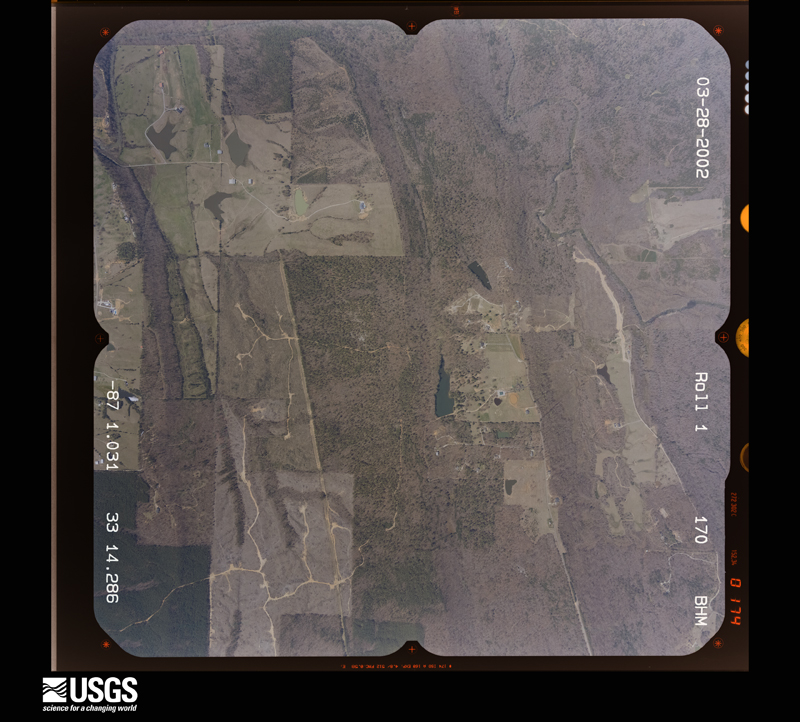
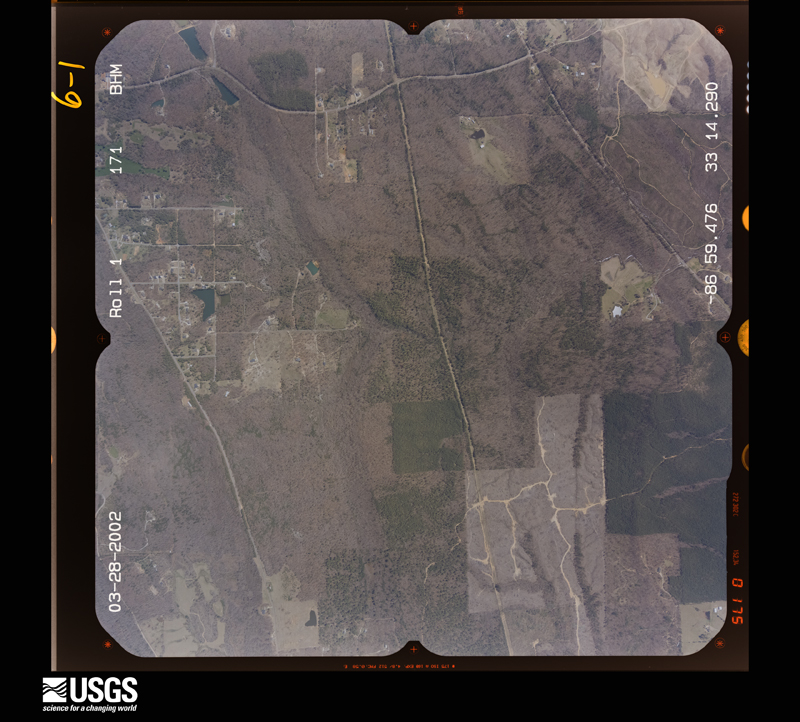
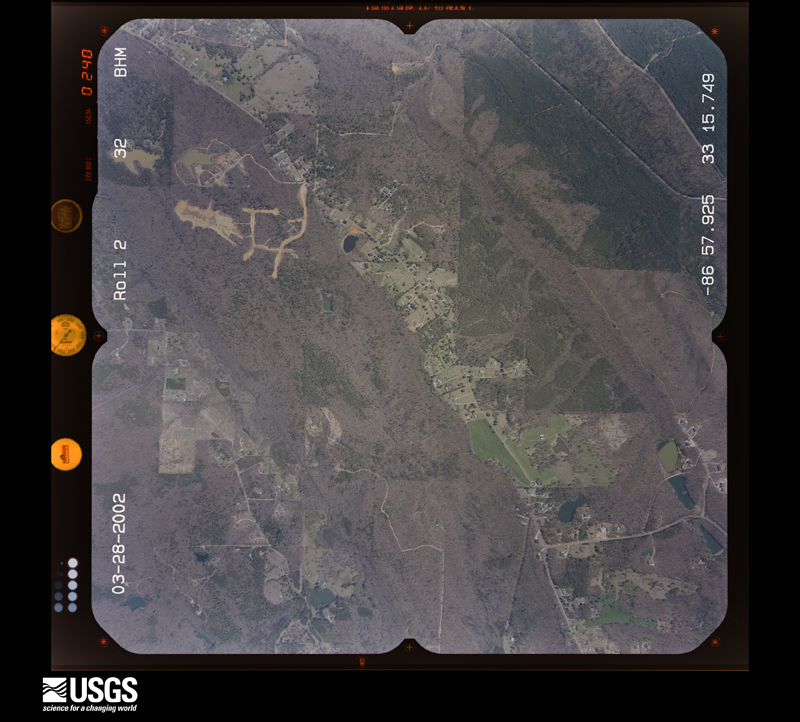
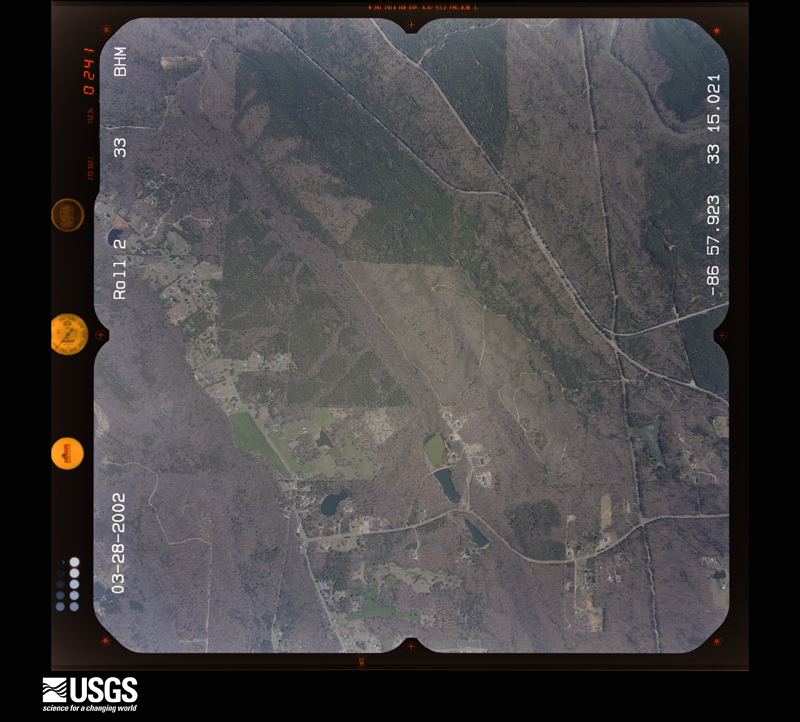
Flown by the U.S. Geological Survey between 1937 and 1989, the Aerial Photo Single Frames collection is the definitive mid-century view of the land: fields, roads and rivers as the camera saw them. The Survey holds 2,250 frames inside the rectangle that bounds this county; the 37 frames below were taken over the county itself, chosen across the decades of flights (at most four a year from that rectangle), so one flight cannot crowd out the rest. The full set is free to browse and download at EarthExplorer under the dataset Aerial Photo Single Frames.
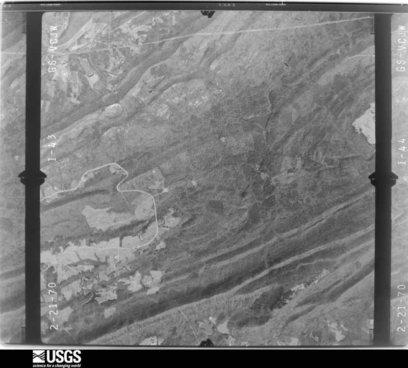
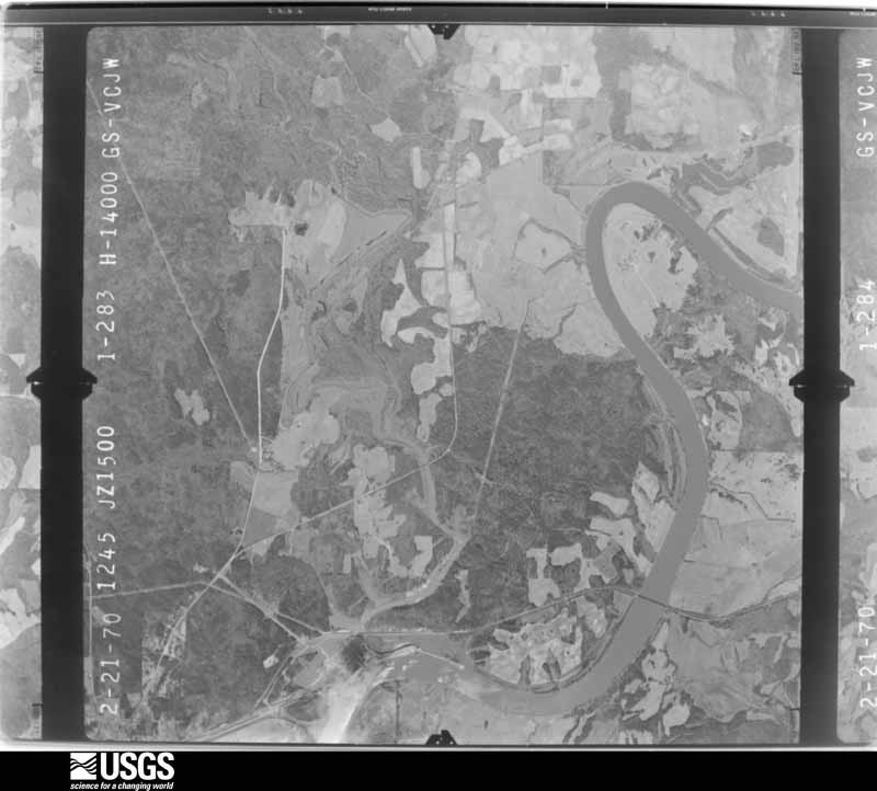
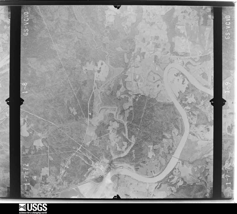
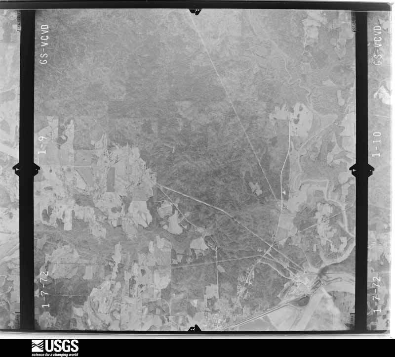
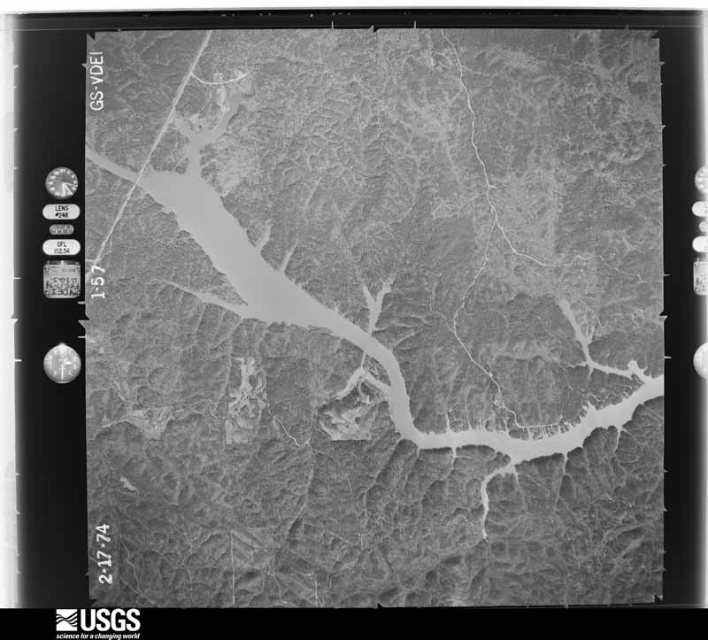
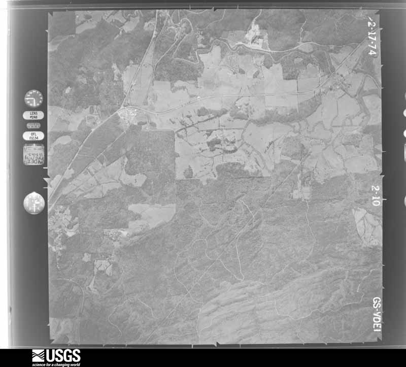
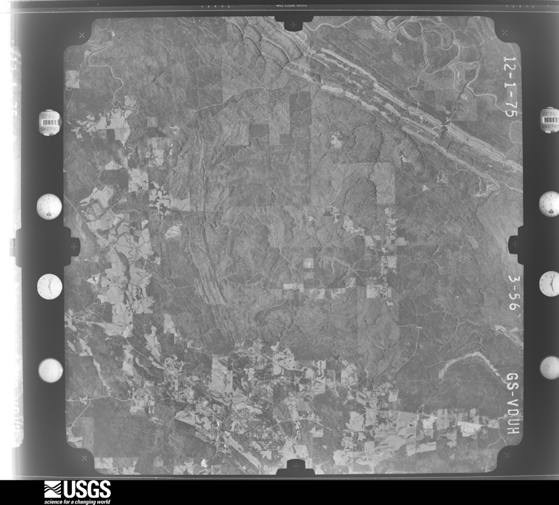
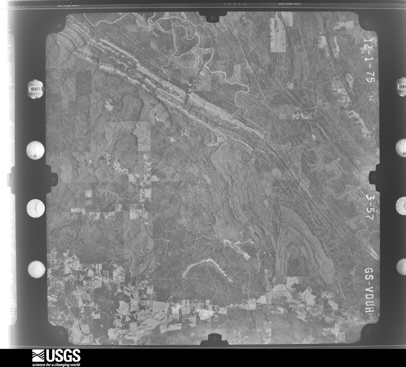
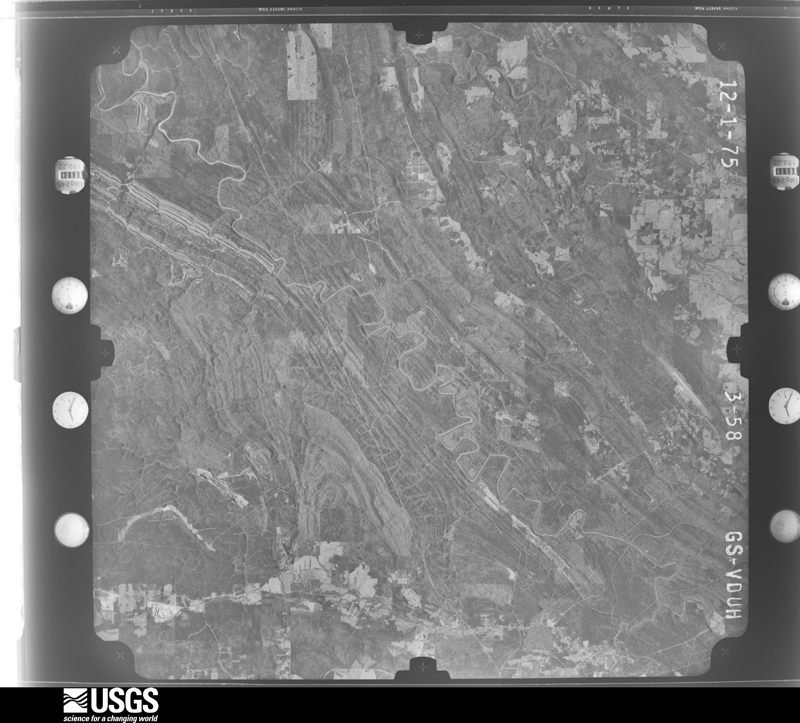
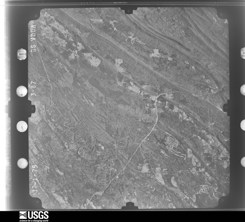
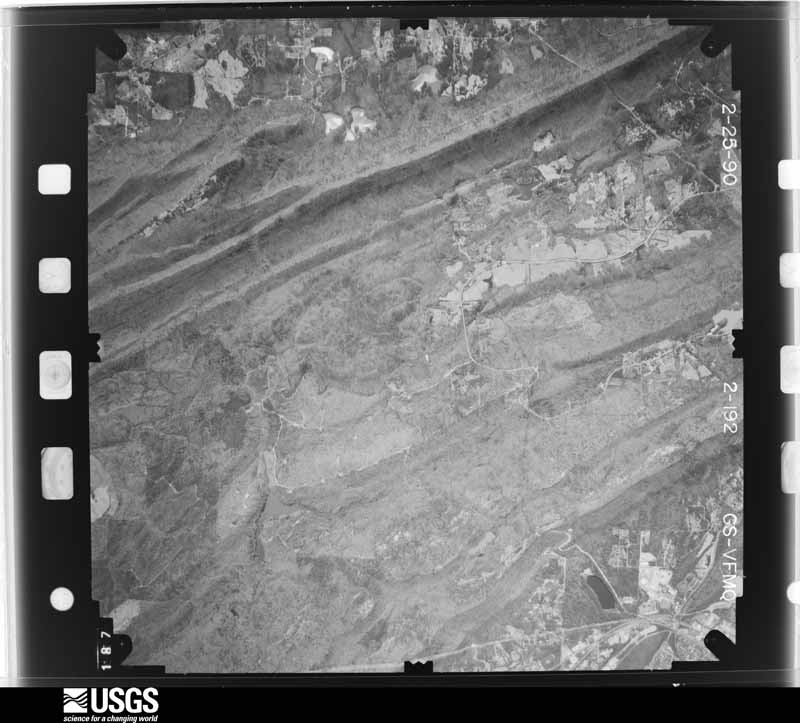
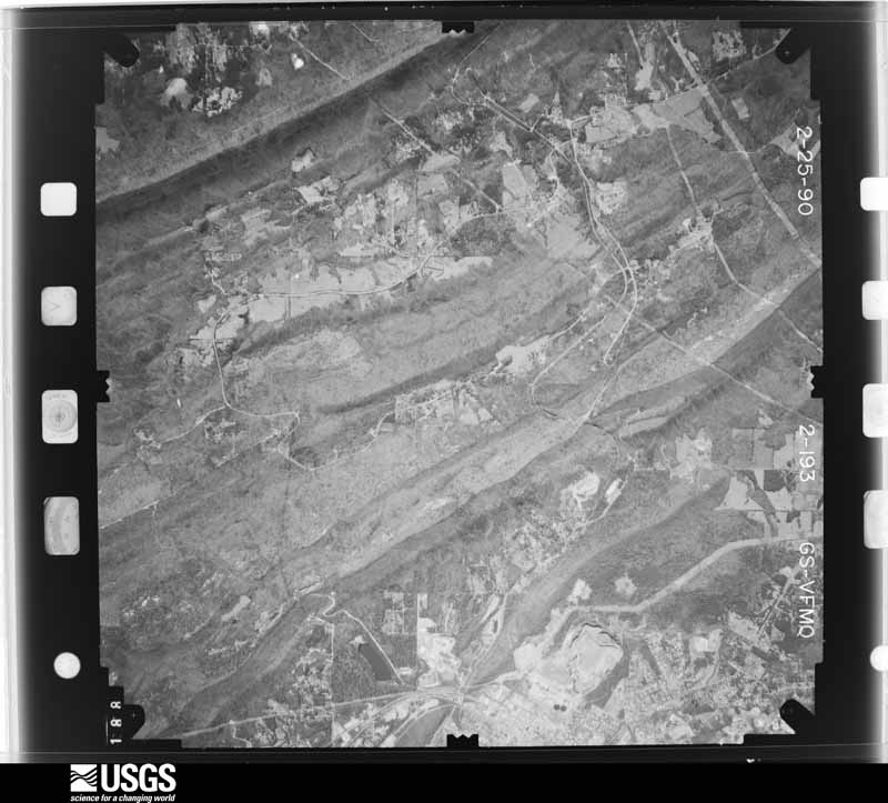
The thermometers that kept this county's weather, and the gages that measured the flow of its streams, as the federal records hold them. The extremes below are measured values from those records, not estimates.
Who lived here in 1950, one enumeration district at a time, as the Census Bureau described each district. Each row opens its official National Archives result, with Population Schedules and ED Maps available there.
Every wildfire the federal occurrence database records inside this county: 1,506 of them, burning about 22,271 acres. 29 started naturally and 544 were recorded as arson. Each settlement page carries the fires within five miles of it.
| Reported cause | Fires |
|---|---|
| Arson/incendiarism | 544 |
| Debris and open burning | 512 |
| Missing data/not specified/undetermined | 207 |
| Recreation and ceremony | 99 |
| Railroad operations and maintenance | 43 |
| Equipment and vehicle use | 30 |
| Natural | 29 |
| Smoking | 17 |
| Misuse of fire by a minor | 11 |
| Power generation/transmission/distribution | 7 |
| Other causes | 5 |
| Fireworks | 2 |
The five largest, by the area the report gives. Three of them were set deliberately.
| Date | Cause | Size | Reported by | Name on the report |
|---|---|---|---|---|
| 15 July 2000 | Natural | 1,800 acres | Alabama Forestry Commission | SHELBY |
| 17 April 1996 | Recreation and ceremony | 1,540 acres | Alabama Forestry Commission | not named |
| 11 July 2000 | Natural | 1,100 acres | Alabama Forestry Commission | not named |
| 26 March 2011 | Missing data/not specified/undetermined | 400 acres | Alabama Forestry Commission | 1989 CR 53, AL |
| 21 February 2010 | Arson/incendiarism | 270 acres | Alabama Forestry Commission | not named |
| 14 February 1998 | Arson/incendiarism | 260 acres | Alabama Forestry Commission | not named |
| 8 September 1999 | Natural | 220 acres | Alabama Forestry Commission | not named |
| 7 July 2000 | Arson/incendiarism | 200 acres | Alabama Forestry Commission | not named |
Every settlement page carries the fires within five miles of it - see the settlement index below.
The NOAA Storm Events Database holds 740 reports for this county, causing 14 deaths, 187 injuries and about $42,090,200 in recorded property damage. Each settlement page carries the reports that name it.
| Kind of event | Reports |
|---|---|
| Thunderstorm Wind | 399 |
| Hail | 196 |
| Flash Flood | 70 |
| Tornado | 52 |
| Lightning | 13 |
| Flood | 5 |
| Heavy Rain | 3 |
| Funnel Cloud | 2 |
The most serious of them, by death, then injury, then recorded damage. The accounts are quoted exactly as the forecast office filed them.
| When | Event | Place named | Harm | What the report says |
|---|---|---|---|---|
| January 1964 | Tornado (F4) | not stated | 10 killed, 6 hurt, $250,000 | no account filed |
| October 2021 | Flash Flood | Elvira | 2 killed | During the evening of the 6th, a north to south low-level boundary set up along the Interstate 65 corridor that became the focus for back-building thunderstorms and heavy rainfall. Over the course of just a few hours, a wide swath of 6-10 inches of rain occurred. Numerous roads became submerged and impassable. Countless water rescues were performed as travelers either became trapped by or drove into flood waters. Flood water several feet deep impacted parts of neighborhoods and townhomes. Several businesses were damaged by flooding. Extreme runoff also caused creeks and other waterways to rapidly swell. There was at least one report of a partial landslide in Pelham, sending dirt, rocks, and pine trees onto the road. A Flash Flood Watch had already been in place for a few days, highlighting the potential for flooding rainfall. A Flash Flood Warning was issued for north Shelby County early in the evening. At least four rounds of thunderstorms occurred, with ongoing and forecast impacts pushing the event to the highest level of flash flooding, a Flash Flood Emergency. Scanner traffic became nonstop with public calls for help and first responder needs for mutual aid and resources. Even after the rain subsided later in the evening hours,|flooding persisted for several more hours. Two deaths occurred when a vehicle was swept off the roadway and into a creek. |
| May 1973 | Tornado (F4) | not stated | 1 killed, 63 hurt, $25,000,000 | no account filed |
| January 1998 | Flash Flood | Countywide | 1 killed, $35,000 | no account filed |
| March 1994 | Tornado (F2) | not stated | 53 hurt, $5,000,000 | A tornado began on the north side of Helena on the Bearden Farm moving northeastward crossing Alabama 261 near Pelham High School. The school suffered some damage. Continuing northeast, the tornado caused damage in a residential section before doing extensive damage to two mobile home parks on the west side of U.S. Highway 31 on the north side of Pelham. The tornado did extensive to businesses in the stretch from the U.S. 31/Alabama 119 intersection to the Alabama 119/Interstate 65 intersection. The tornado continued on its track going through primarily residential areas of Pelham and Indian Springs. The tornado dissipated just before reaching the Meadow Brook area about two miles west of U.S. Highway 280. Areas in the path of the tornado included sections of Chandalar, Green Park South mobile home park, South Gate Mobile Home Park, Indian Springs Village, Broken Bow, Broken Bow South, and Riverchase. |
| February 1990 | Thunderstorm Wind | not stated | 22 hurt | no account filed |
| January 1975 | Tornado (F1) | not stated | 14 hurt, $250,000 | no account filed |
| March 1992 | Thunderstorm Wind | not stated | 7 hurt | no account filed |
| March 1973 | Tornado (F2) | not stated | 5 hurt, $250,000 | no account filed |
| March 2021 | Tornado (EF3) | Boothton | 5 hurt | National Weather Service meteorologists surveyed damage in northern Shelby County and determined that it was consistent with an EF3 tornado, with maximum winds near 140 mph.||This tornado originated in Bibb County and crossed into Shelby County along Shades Creek west of River Road. The tornado traveled northeast in a wooded area along the Cahaba River, paralleling County Highway 13. As the tornado moved into Helena, it caused shingle damage to several homes in the neighborhoods near Old Cahaba Parkway and Hillsboro Parkway. A house that was under construction also collapsed. The tornado intensified again as it crossed Buck Creek near Old Town Helena, snapping numerous trees and causing roof damage. A few homes near Cunningham Drive suffered partial roof loss. The tornado weakened as it crossed New Hope Mountain near Pelham High School, but intensified to EF2 intensity along Crosscreek Trail and Wilderness Road in Pelham. Roofs were removed from four homes with collapse of an exterior wall on two of them, with many other homes suffering varying degrees of roof damage. The tornado also caused several trees to fall on homes in the Chandalar neighborhood. The tornado weakened somewhat by the time it crossed Highway 31 but still damaged the roofs of several businesses and mobile homes while uprooting trees. It began to strengthen again after crossing Interstate 65, paralleling Highway 119 through the south side of Indian Springs Village and far northern portions of Oak Mountain State Park. It continued to uproot or snap numerous trees and continued to cause roof damage to residences. Pockets of EF2 damage were found in neighborhoods south of Heardmont Park and near Oak Mountain Elementary and Intermediate Schools, with significant damage to residences from falling trees and partial roof loss. Significant timber damage with some damage to structures was also noted near the lakes at the north gate to Oak Mountain State Park. The most significant structural damage along the path occurred in the Eagle Point neighborhood just before Highway 280. Several homes suffered complete roof loss, a couple homes suffered collapse of exterior walls, and all walls collapsed for one home on Eagle Valley Drive. The majority of the other homes in the path in this neighborhood suffered varying degrees of roof damage, with numerous trees snapped. After crossing Highway 280, the tornado continued to uproot numerous trees as it moved over Oak Mountain. It caused roof damage along Highland View Drive and in the Highland Lakes neighborhood, including complete roof loss to a residence on Grove Park Way. Varying degrees of roof damage also occurred in the Greystone Farms neighborhood, with significant roof loss on several homes. The tornado crossed Dunnavant Valley Road and caused significant timber damage at Shoal Creek Country Club, and complete roof loss for another residence. The tornado then moved into a wooded area as it crossed Double Oak Mountain, continuing to uproot numerous trees. It crossed Highway 25 near Vandiver and then began to parallel Shelby County Highway 43, causing roof damage to residences and completely destroying a manufactured home on Crabapple Lane. The tornado crossed into St. Clair County near Wolf Creek Road. |
| December 1968 | Tornado (F2) | not stated | 2 hurt, $250,000 | no account filed |
| March 2021 | Tornado (EF1) | Roberta | 2 hurt | National Weather Service meteorologists surveyed damage in southeast Shelby County and determined that it was consistent with an EF1 tornado, with maximum winds near 110 mph. A strong, long-track tornado traveled across Hale, Perry, Bibb, Chilton, and Shelby Counties during the afternoon of March 25, 2021. It is estimated that the tornado had a 98 minute life span, with a path length of 80 miles.||The tornado crossed into Shelby County from Bibb County near the intersection of County Road 201 and 128. The tornado moved into the city of Calera, uprooting trees and blowing over an unanchored mobile home along County Road 67. The tornado then crossed Interstate 65 and moved into a large neighborhood along and northeast of Timberline Drive. The majority of structural damage was confined to loss of shingle and siding. However, at least 3 homes had portions of their roofs removed, 2 of them with significant loss. Next, mostly rural areas were hit between the cities of Columbiana and Calera, south of Highway 70. The last area of notable damage was in Columbiana. Numerous trees were uprooted from Mooney Road to Mardis Ferry Road and numerous homes were heavily damaged by fallen trees. Several mobile homes were impacted near the intersection of Alston Farm Road and Mardis Ferry Road. Most sustained roofing damage or were crushed by fallen trees. One unanchored mobile home was destroyed with 2 injuries that required hospitalization. Other structures were damaged along the path as well. The tornado then quickly weakened, and dissipated as it approached Highway 25 after crossing County Road 7. |
| August 2007 | Lightning | Quito | 2 hurt | Two children sustained minor injuries when they were apparently struck by lightning, at the 4800 block of Caldwell Mill Road in north Shelby County. Both children were knocked to the ground. One got up and was ok, and the other was taken to a local hopital and was later reported to be ok. |
| August 1990 | Thunderstorm Wind | not stated | 2 hurt | no account filed |
| March 2022 | Tornado (EF1) | Wilton | 1 hurt | National Weather Service meteorologists surveyed damage in southwest Shelby County and determined that it was consistent with an EF1 tornado, with maximum winds near 88 mph. This tornado originated in Perry County, crossed through eastern Bibb County, and crossed into Shelby County near Moreland Road. The tornado mostly uprooted softwood trees as it approached the town of Wilton. A few homes were damaged in Wilton, in the area of Church Street due to fallen trees. The tornado continued northeast and dissipated over the University of Montevallo campus where a few trees were blown over, several building windows were blown out and some roofing damage was observed on a few buildings. |
| June 1998 | Lightning | Helena | 1 hurt | A man was struck by lightning while standing in a church parking lot, across from the Helena post office. He was taken to the Shelby County Medical Center and was in good condition. |
| August 1990 | Thunderstorm Wind | not stated | 1 hurt | no account filed |
| April 1985 | Thunderstorm Wind | not stated | 1 hurt | no account filed |
| April 2011 | Tornado (EF1) | Quito | $3,700,000 | A tornado developed along a Quasi-Linear Convective System. It touched down in far northern Shelby County, less than one mile west of the intersection of Valleydale Road and Caldwell Mill Road, and tracked northeastward into southern Jefferson County. The tornado produced damage consistent with an EF1 rating and winds of 100 mph. Numerous trees were knocked down, causing damage to homes, apartment buildings, vehicles and power lines. The tornado crossed into Jefferson County just east of the intersection of Caldwell Mill Rd and Pahokee Trace. |
| March 2010 | Flood | Elvira | $500,000 | What began as flash flooding transitioned into widespread long term flooding across a large portion of Shelby County during the late morning of the 10th. Dozens of roads were closed across the county due to high water, and as many as ten roads were still closed two days later. The hardest hit area was the western portion of the county, especially around the Helena, Pelham, and Alabaster areas, where more than 8 inches of rain fell during the 3 day period. In Alabaster, several vehicles were overcome by high water, and the occupants briefly became trapped. Other communities that experienced flooding included Montevallo, Columbiana, Shelby, and Wilsonville. |
| April 2005 | Tornado (F1) | Helena | $400,000 | National Weather Service meteorologists surveyed the damage that affected the Helena, Alabaster, Pelham, and Chelsea areas early Saturday morning. The tornado has been rated an F1 with winds estimated around 75 miles an hour. The tornado first touched down just west of County Road 93 near the Cahaba Wildlife Management Area in Helena. The tornado moved generally eastward and crossed County Road 17, County Road 58, US 31, Interstate 65 and County Road 11 before ending near County Road 39. The tornado damage path was approximately 11.6 miles long and 100 yards wide at its widest point. The tornado was on the ground from approximately 504 AM CDT to 518 AM CDT. The initial damage was minor with only a few trees uprooted or snapped off west of County Road 17 in Helena. As the tornado crossed County Road 17, it intensified and caused its most significant damage. The most concentrated and significant damage occurred near Scurlock Road and County Road 17 then eastward along County Road 58 to just past County Road 95. Several subdivisions were affected including Braelinn Village, Amberley Woods, Navajo Hills, and Port South. Numerous homes suffered shingle and minor roof damage along with a few broken windows. Many trees and power lines were either blown down or snapped off. Power was unavailable for several hours due to downed power poles. A few homes suffered major damage due to fallen trees. Several automobiles and outbuildings were destroyed. A municipal park in Helena sustained minor damage. As the tornado crossed US 31 near Walmart, several large trees and signs were blown down or snapped off. A few homes just east of US 31 were damaged from fallen trees. For the remainder of the tornadoes path, the damage was relatively minor and mainly affected trees. The tornado crossed the Weatherly subdivision and the Ballantrae Golf Course and subdivision before ending just east of County Road 39 near Hidden Ridge. Begin: 33 16.08/86 53.41 End: 33 16.45/86 41.34 |
| June 2003 | Flash Flood | Pelham | $400,000 | Radar estimated rain was falling at a rate up to 3 inches an hour in Riverchase and Pelham. Rain amounts over a two hour period were from 5 to 6 inches. Several roads were flooded and temporarily impassable. Several small streams rose out of their banks. A few homes were flooded in Riverchase. The Pelham Fire Department performed a few swift water rescues. Seventy-five homes and six businesses received varying degrees of flood damage in Pelham along Highway 261. No injuries were reported. |
| March 2002 | Hail | Helena | $400,000 | no account filed |
| March 1998 | Thunderstorm Wind | Chelsea | $380,000 | no account filed |
| June 2018 | Lightning | Saginaw | $300,000 | Lightning struck a home in the Ballantrae Community and started a fire. The home suffered severe damage from the fire. Homeowner was present when the lightning hit the home. The homeowner safely exited the home when the smoke detectors went off. |
| May 2003 | Hail | Countywide | $250,000 | Several severe thunderstorms moved through Shelby County and generally affected the western part of the county. All of the storms produced dime to golf ball size hail. The largest hail size reported was softball and occurred near Maylene. Some locations that reported hail were Alabaster, Hoover, Helena, Maylene, Indian Springs, Calera and Montevallo. Several locations observed hail covering the ground. A few trees were also blown down. |
| January 1988 | Tornado (F1) | not stated | $250,000 | no account filed |
| May 1984 | Tornado (F2) | not stated | $250,000 | no account filed |
| April 1973 | Tornado (F1) | not stated | $250,000 | no account filed |
| June 2010 | Lightning | Keystone | $200,000 | A lightning strike caused a house to catch fire. Although no one was injured, the fire destroyed the inside of the house and caused a portion of it to collapse. |
| April 2005 | Tornado (F1) | Columbiana | $200,000 | National Weather Service meteorologists surveyed the damage just northeast of Columbiana. It has been determined that the damage was the result of a tornado. The tornado has been rated an F1 onthe Fujita Damage Scale with winds estimated around 75 miles an hour. The tornado touched down approximately 3 miles northeast of downtown Columbiana, just west of County Road 25 across thetrain tracks. The tornado snapped off and uprooted numerous trees and knocked over several powerpoles along its fairly short path. Some of the trees were several feet in diameter. Fallen treessignificantly damaged one home, produced minor damage to a few other homes, destroyed at least 4 vehicles, and destroyed several outbuildings. The tornado crossed County Road 25 and headed eastwardacross mainly rural farmland. The tornado ended near the intersection of Davis Road and County Road5 where a garage sustained roof damage and one large tree was uprooted. The tornado damage path wasapproximately 2.2 miles long and 150 yards wide at its widest point. The tornado started at 522 AM CDT and ended at 523 AM CDT. Begin: 33 12.98/86 35.39 End: 33 13.13/86 33.20 |
| March 1996 | Flash Flood | Countywide | $200,000 | no account filed |
| August 2005 | Thunderstorm Wind | Alabaster Shelby Arp | $175,000 | One airplane was destroyed and one plane was damaged at the Shelby County Airport. A wind gust of 51 MPH (44Knots) was measured at the Shelby County Airport and may have been higher just outside the airport. A few trees were also blown down in the vicinity. A few other trees were blown down in Montevallo and in Liberty Park. |
| March 2010 | Tornado (EF1) | Turner | $170,000 | The tornado first touched down on Fox Valley Road in the Maylene community, where it tossed trampolines and snapped at few small trees. It then traveled northeast, crossing CR-17 just south of the intersection of 1st Ave W. It then struck Fox Valley Apartments and moved into the Stoney Meadow Subdivision, where several homes received minor to substantial roof damage. The most significant damage occurred on Rock View Trail, where siding was stripped off of one home and another home received significant roof damage and had the garage door blown out. Two mature cedar trees were also snapped at this location. The tornado weakened rapidly and continued to produce minor damage as it crossed through the Navajo Trail Subdivision. The last bits of minor roof and fence damage were in the Greenfield Subdivision off of Industrial Park Drive in Alabaster. In total, at least 20 structures were damaged, and dozens of trees were snapped or uprooted. |
| August 2010 | Lightning | Quito | $150,000 | House sustained significant damage after being struck by lightning and catching fire. |
| May 2003 | Tornado (F1) | Wilsonville | $150,000 | no account filed |
| May 2009 | Tornado (EF0) | Quito | $120,000 | The tornado touched down near Ashington Drive, in the Brook Highland area, just southwest of Lake Purdy. It then moved east-northeast, across AL-119, and into the Greystone area. Numerous trees were uprooted along the path. At least 20 homes suffered minor roof damage, mainly the loss of shingles. Other damage was limited to uprooted and snapped trees, especially on the Greystone golf course. The course was closed for a day due to clean up. |
| August 2005 | Thunderstorm Wind | Pelham | $120,000 | no account filed |
| June 2010 | Thunderstorm Wind | Quito | $100,000 | Numerous trees and power lines were blown down in the Inverness and Meadow Brook areas of northern Shelby County, including at the Inverness Landing, Inverness Cliffs, and Lake Heather Estates apartment complexes. A concrete light pole was blown down onto vehicles in the Inverness Plaza parking lot. Inverness Parkway, Caldwell Mill Road and Lakeland Trail were all blocked by downed trees. |
| April 2009 | Hail | Quito | $100,000 | Hail up to the size of golf balls damaged 95 percent of the cars on a car lot on US-280, just south of AL-119. Damage to most of the cars was slight enough so that they could still be sold at discount, though some received more significant dents. |
| June 2006 | Lightning | Helena | $100,000 | no account filed |
| April 2005 | Thunderstorm Wind | Countywide | $100,000 | no account filed |
| May 2004 | Thunderstorm Wind | Pelham | $100,000 | no account filed |
| September 2002 | Flash Flood | Countywide | $100,000 | no account filed |
| August 2005 | Lightning | Alabaster | $90,000 | no account filed |
| July 2000 | Thunderstorm Wind | Countywide | $70,000 | Numerous trees and power lines were knocked down in Shelby County. Several gas stations reported roof damage and gas pumps disabled. Several homes and vehicles were damaged by the downed trees. A few reports were received of dime size hail during these storms. |
| May 2009 | Thunderstorm Wind | Lay Lake | $60,000 | Hundreds of trees were snapped off at CR-71 and South River Road, near Lacoosa Marina. At least 3 homes were damaged by the fallen trees. Several campers also suffered minor damage. A roof was blown off a dry storage boat house, and several other outbuildings were damaged. |
| March 2010 | Flash Flood | Pelham | $50,000 | After briefly letting up for a short time, another burst of heavy rainfall caused flash flooding in the city of Pelham. Several people had to be rescued from flooded townhomes. |
| February 2008 | Tornado (EF1) | Simmsville | $50,000 | A narrow tornado path began just to the lee of Double Oak Mountain, and continued east-northeastward for about a half mile across the Highland Lakes subdivision. Twenty to 30 trees were either uprooted or snapped. Several homes received damage from direct or indirect hits from falling trees. On one street directly in the path of the tornado, the mailboxes on both sides of the street were sucked open. At Pinecliff Circle and Highland Park Drive, at least 3 homes had roofing or siding stripped off. |
| November 2004 | Flash Flood | Countywide | $50,000 | Numerous roads were reported covered with water and were temporarily impassable. Several area streams and creeks rose above bankfull. Doppler radar estimated widespread rain amounts of three to five inches with a few spots approaching 6 inches. Runoff from these storms lasted for several hours after the heaviest rains ended. |
| August 2000 | Thunderstorm Wind | Wilsonville | $50,000 | Numerous trees and power lines were blown down across eastern Shelby County. One mobile home was overturned and a few trees fell onto homes. |
| June 2006 | Lightning | Helena | $50,000 | no account filed |
| December 2011 | Tornado (EF0) | Columbiana | $45,000 | National Weather Service meteorologists surveyed damage in Shelby County and assessed damage that was consistent with a tornado. An EF-0 tornado with winds of 70 to 80 mph briefly touched down in Columbiana along County Road 47 and moved northeast for 1.9 miles and lifted along County Road 25. Along its path, 2 homes were damaged due to falling trees, and another home suffered minor shingle damage. Approximately 50 trees were either snapped or uprooted. |
| August 2000 | Thunderstorm Wind | Harpersville | $45,000 | Numerous trees were knocked down in and around the city of Harpersville. One mobile home was blown off its foundation. One mobile home was rolled over several times and many outbuildings were destroyed. Some of the trees fell onto homes. There were no reported injuries. |
| April 2011 | Tornado (EF1) | Vincent | $44,000 | A tornado initially touched down in far eastern Shelby County and tracked north northeast into western Talladega County. The tornado lifted northeast of Logan Martin Dam. The tornado touched down south of the town of Vincent on County Road 62 where it uprooted dozens of trees. The tornado traveled to the northeast and knocked down additional trees along its path. The damage was consistent with an EF1 rating and winds of 105 mph. ||The tornado crossed the Coosa River and moved into Talladega County, east of Bates Rd. |
| August 2023 | Thunderstorm Wind | Brantleyville | $30,000 | Tree uprooted and fell on a manufactured home, slicing it in half. |
| March 2007 | Tornado (EF1) | Montevallo Flyng X R | $30,000 | The tornado touched down along County Road 17, about 6 miles southwest of Alabaster, and tracked a short distance to the east-northeast. At least 15 large pine trees were snapped off. One home suffered major roof damage and a barn sustained roof damage. |
| April 2011 | Tornado (EF1) | Wilsonville | $28,500 | A tornado touched down 2.5 miles northwest of Wilsonville on Largin Road. The tornado moved northeastward where it snapped or uprooted several trees. As the tornado crossed County Road 441, it strengthened to an EF-1 rating, with maximum winds of 90 mph. One home sustained roof damage, and a horse trailer was thrown at least 100 yards. The tornado lifted just north of Highway 25 near the Lay Lake inlet. |
| May 2009 | Thunderstorm Wind | Quito | $25,000 | Trees were blown down on Stevens Hill Circle, Riverchase Trace, and Old Rocky Ridge Road, in Hoover. Large tents and portable restrooms were blown down at Spain Park. |
| September 2009 | Flash Flood | Helena | $25,000 | Water was flowing over the road at the intersection of CR-52 and CR-17 in Helena. At least a dozen vehicles became trapped and roads had to be closed at Joe Tucker Park, due to flood waters flowing over the spillway there. |
The Survey's mineral resources record lists 68 workings inside this county. 21 still produce and 47 are closed or unrecorded. Each settlement page carries the workings within five miles of it.
| Commodity | Workings |
|---|---|
| Iron | 25 |
| Barium-Barite | 18 |
| Stone, Crushed/Broken | 13 |
| Clay | 5 |
| Calcium | 3 |
| Fire Clay (Refractory) | 2 |
| Manganese | 1 |
| Stone | 1 |
| Sand and Gravel, Construction | 1 |
The least common of them first, because a county's hundredth gravel pit says nothing its first ten did not.
| Where | Site | Commodity | Status | Recorded |
|---|---|---|---|---|
| Calera Plant | Sand and Gravel, Construction | Plant | ||
| Martin Marietta Cement Plant | Stone | Plant | ||
| Shelby Mine | Iron, Manganese | Past Producer | 1849 | |
| Montevallo Mine | Fire Clay (Refractory) | Producer | ||
| No 1 Pit | Fire Clay (Refractory) | Producer | ||
| Alabaster Lime Plant | Calcium | Past Producer | ||
| Landmark Quarry & Lime Mill | Calcium | Producer | ||
| Longview Mine & Lime Plant | Calcium | Producer | ||
| Alabama Refractory Clay Co. Pit | Clay | Producer | ||
| Alabama Refractory Clay Co. Pit | Clay | Producer | ||
| Roberta Pit | Clay | Producer | ||
| She 2 Clay Prospect | Clay | Prospect | ||
| She 5 Clay Prospect | Clay | Prospect | ||
| Calera Quarry | Stone, Crushed/Broken | Producer | ||
| Central Shop | Stone, Crushed/Broken | Plant | ||
| Helena Quarry | Stone, Crushed/Broken | Producer | ||
| Maylene Quarry No. 4 | Stone, Crushed/Broken | Producer | ||
| Montevallo Mine | Stone, Crushed/Broken | Past Producer | ||
| Montevallo Quarry | Stone, Crushed/Broken | Producer | ||
| Montevallo Quarry | Stone, Crushed/Broken | Producer | ||
| Roberta Quarry | Stone, Crushed/Broken | Past Producer | ||
| Roberta Quarry | Stone, Crushed/Broken | Producer | ||
| Scotrock Quarry | Stone, Crushed/Broken | Producer | ||
| Southern Ready Mix Rock Plant | Stone, Crushed/Broken | Producer | ||
| Verlie Quarry | Stone, Crushed/Broken | Producer | ||
| Verlie Quarry | Stone, Crushed/Broken | Producer | ||
| A M Leonard Prospect | Barium-Barite | Prospect | ||
| A and B Mine | Barium-Barite | Producer | ||
| C B Naish Mine | Barium-Barite | Past Producer | ||
| C Johnson Prospect | Barium-Barite | Occurrence | ||
| C V Moore Prospect | Barium-Barite | Unknown | ||
| J E Naish Prospect | Barium-Barite | Prospect | ||
| Longview Lime Works Mine | Barium-Barite | Past Producer | ||
| Longview Saginaw District | Barium-Barite | Past Producer | Residual | |
| Luther Davis Mine | Barium-Barite | Past Producer | ||
| Luther Davis Property | Barium-Barite | Past Producer | Residual | |
| P. Howland | Barium-Barite | Past Producer | Residual | |
| Petrie Howland Mine | Barium-Barite | Past Producer | ||
| R P Tucker Prospect | Barium-Barite | Prospect | ||
| T C Elliott Prospect | Barium-Barite | Occurrence | ||
| T S Florey Prospect | Barium-Barite | Prospect | ||
| T. J. Florey | Barium-Barite | Past Producer | Residual | |
| W W Wyatt Mine | Barium-Barite | Past Producer | ||
| W.W.Wyatt | Barium-Barite | Past Producer | Residual | |
| Chain Gang Pit | Iron | Unknown | ||
| Columbiana Red Ore Prospect | Iron | Occurrence | Hematite | |
| F P Cater Iron Ore Prospect | Iron | Unknown | ||
| Helena, Ne Of | Iron | Past Producer | Residual | |
| Longview | Iron | Past Producer | Residual | |
| No Name Given | Iron | Past Producer | Residual | |
| Shelby Pit/Kingdom Area | Iron | Past Producer | Residual | |
| Siluria, W Of | Iron | Past Producer | Residual | |
| Unnamed | Iron | Unknown | ||
| Unnamed | Iron | Unknown | ||
| Unnamed | Iron | Unknown | ||
| Unnamed | Iron | Unknown | ||
| Unnamed | Iron | Unknown | ||
| Unnamed | Iron | Unknown | ||
| Unnamed | Iron | Unknown | ||
| Unnamed | Iron | Unknown | ||
| Unnamed | Iron | Unknown | ||
| Unnamed | Iron | Unknown | ||
| Unnamed | Iron | Unknown | ||
| Unnamed | Iron | Unknown | ||
| Unnamed | Iron | Unknown | ||
| Unnamed | Iron | Unknown | ||
| Unnamed | Iron | Unknown | ||
| Unnamed | Iron | Unknown |
Named settlements recorded in the Geographic Names Information System, each with the topographic sheets covering it. Villages, hamlets and abandoned places alike. Each is shown with the nearest named watercourse or landform and the survey quadrangle it falls on. The 4 places that were also surveyed for fire insurance come first, with the number of atlases and photographs held for them.
Calera census division · 35040 · Montevallo quadrangle
19 sheets, 1890 to 1984
Fire insurance: 6 atlases
Columbiana census division · 35051 · Columbiana quadrangle
16 sheets, 1890 to 1984
Fire insurance: 3 atlases
Montevallo census division · 35115 · On Davis Creek · Montevallo quadrangle
19 sheets, 1890 to 1984
Fire insurance: 2 atlases
Columbiana census division · 35143 · On Beaver Creek · Shelby quadrangle
17 sheets, 1890 to 1984
Fire insurance: 4 atlases
Vincent census division · 35147 · Near Moore Mountain · Harpersville quadrangle
21 sheets, 1890 to 1984
Alabaster-Helena census division · 35244 · On Patton Creek · Helena quadrangle
27 sheets, 1890 to 1997
Montevallo census division · 35115 · On King Creek · Aldrich quadrangle
18 sheets, 1890 to 1984
Montevallo census division · 35115 · On King Creek · Aldrich quadrangle
18 sheets, 1890 to 1984
Alabaster-Helena census division · 35242 · Cahaba Heights quadrangle
22 sheets, 1890 to 1998
Montevallo census division · 35115 · On Savage Creek · Pea Ridge quadrangle
18 sheets, 1890 to 1984
Alabaster-Helena census division · 35124 · On Hogpen Creek · Helena quadrangle
27 sheets, 1890 to 1997
Montevallo census division · 35115 · On Lick Creek · Pea Ridge quadrangle
18 sheets, 1890 to 1984
Montevallo census division · 35114 · Near Opossum Valley · Alabaster quadrangle
19 sheets, 1890 to 1984
Chelsea census division · 35242 · On Lee Branch · Cahaba Heights quadrangle
22 sheets, 1890 to 1998
Chelsea census division · 35242 · Near New Hope Mountain · Cahaba Heights quadrangle
22 sheets, 1890 to 1998
Alabaster-Helena census division · 35242 · Cahaba Heights quadrangle
22 sheets, 1890 to 1998
Alabaster-Helena census division · 35244 · On Patton Creek · Helena quadrangle
27 sheets, 1890 to 1997
Alabaster-Helena census division · 35124 · On Cahaba Valley Creek · Helena quadrangle
27 sheets, 1890 to 1997
Vincent census division · 35178 · Near Linder Mountain · Vincent quadrangle
22 sheets, 1890 to 1984
Alabaster-Helena census division · 35080 · On Lee Brook · Helena quadrangle
27 sheets, 1890 to 1997
Wilsonville census division · 35186 · On Dry Branch · Wilsonville quadrangle
25 sheets, 1890 to 1984
Vincent census division · 35078 · On Walthall Branch · Harpersville quadrangle
21 sheets, 1890 to 1984
Alabaster-Helena census division · 35124 · Near Dividing Ridge · Helena quadrangle
27 sheets, 1890 to 1997
Chelsea census division · 35043 · On Double Mountain Branch · Chelsea quadrangle
23 sheets, 1890 to 1984
Alabaster-Helena census division · 35080 · On Trigger Creek · Greenwood quadrangle
24 sheets, 1890 to 1984
Alabaster-Helena census division · 35080 · Greenwood quadrangle
24 sheets, 1890 to 1984
Chelsea census division · 35178 · On Glade Branch · Vincent quadrangle
22 sheets, 1890 to 1984
Alabaster-Helena census division · 35080 · On Beaverdam Creek · Greenwood quadrangle
24 sheets, 1890 to 1984
Alabaster-Helena census division · 35115 · Near Pine Ridge · Alabaster quadrangle
19 sheets, 1890 to 1984
Vincent census division · 35078 · On Locust Creek · Harpersville quadrangle
21 sheets, 1890 to 1984
Alabaster-Helena census division · 35080 · On Lee Brook · Helena quadrangle
27 sheets, 1890 to 1997
Alabaster-Helena census division · 35124 · On Johnson Brook · Helena quadrangle
27 sheets, 1890 to 1997
Alabaster-Helena census division · 35124 · On Johnson Brook · Helena quadrangle
27 sheets, 1890 to 1997
Columbiana census division · 35143 · On Spring Creek · Shelby quadrangle
17 sheets, 1890 to 1984
Montevallo census division · 35115 · In Dry Valley · Montevallo quadrangle
19 sheets, 1890 to 1984
Alabaster-Helena census division · 35080 · On Dry Creek · Helena quadrangle
27 sheets, 1890 to 1997
Alabaster-Helena census division · 35242 · Cahaba Heights quadrangle
22 sheets, 1890 to 1998
Alabaster-Helena census division · 35114 · Near Opossum Valley · Alabaster quadrangle
19 sheets, 1890 to 1984
Columbiana census division · 35043 · On Bolivar Creek · Chelsea quadrangle
23 sheets, 1890 to 1984
Alabaster-Helena census division · 35007 · Alabaster quadrangle
19 sheets, 1890 to 1984
Alabaster-Helena census division · 35244 · On Martin Brook · Helena quadrangle
27 sheets, 1890 to 1997
Alabaster-Helena census division · 35080 · On Buck Creek · Helena quadrangle
27 sheets, 1890 to 1997
Alabaster-Helena census division · 35080 · On Dry Creek · Helena quadrangle
27 sheets, 1890 to 1997
Alabaster-Helena census division · 35124 · On Lee Branch · Helena quadrangle
27 sheets, 1890 to 1997
Vincent census division · 35078 · On Moore Branch · Harpersville quadrangle
21 sheets, 1890 to 1984
Montevallo census division · 35115 · On Jesse Creek · Pea Ridge quadrangle
18 sheets, 1890 to 1984
Alabaster-Helena census division · 35007 · Near Pine Ridge · Alabaster quadrangle
19 sheets, 1890 to 1984
Montevallo census division · 35115 · On Hancock Creek · Pea Ridge quadrangle
18 sheets, 1890 to 1984
Montevallo census division · 35115 · On Hancock Creek · Pea Ridge quadrangle
18 sheets, 1890 to 1984
Alabaster-Helena census division · 35124 · On Johnson Branch · Helena quadrangle
27 sheets, 1890 to 1997
Vincent census division · 35078 · On West Fork Tanyard Branch · Harpersville quadrangle
21 sheets, 1890 to 1984
Alabaster-Helena census division · 35244 · On Lacey Branch · Birmingham South quadrangle
26 sheets, 1890 to 1997
Alabaster-Helena census division · 35080 · On Prairie Brook · Helena quadrangle
27 sheets, 1890 to 1997
Alabaster-Helena census division · 35242 · Cahaba Heights quadrangle
22 sheets, 1890 to 1998
Alabaster-Helena census division · 35242 · Cahaba Heights quadrangle
22 sheets, 1890 to 1998
Wilsonville census division · 35186 · Near Bullocks Islands · Wilsonville quadrangle
25 sheets, 1890 to 1984
Wilsonville census division · 35186 · Near Bullocks Islands · Wilsonville quadrangle
25 sheets, 1890 to 1984
Alabaster-Helena census division · 35124 · On Lee Branch · Helena quadrangle
27 sheets, 1890 to 1997
Alabaster-Helena census division · 35124 · Near Dividing Ridge · Helena quadrangle
27 sheets, 1890 to 1997
Alabaster-Helena census division · 35124 · Near Dividing Ridge · Helena quadrangle
27 sheets, 1890 to 1997
Wilsonville census division · 35186 · Near Bullocks Islands · Wilsonville quadrangle
25 sheets, 1890 to 1984
Alabaster-Helena census division · 35124 · On Dry Brook · Helena quadrangle
27 sheets, 1890 to 1997
Alabaster-Helena census division · 35124 · Near Little Valley · Helena quadrangle
27 sheets, 1890 to 1997
Alabaster-Helena census division · 35244 · On Lacey Branch · Birmingham South quadrangle
26 sheets, 1890 to 1997
Alabaster-Helena census division · 35242 · Cahaba Heights quadrangle
22 sheets, 1890 to 1998
Alabaster-Helena census division · 35242 · Cahaba Heights quadrangle
22 sheets, 1890 to 1998
Alabaster-Helena census division · 35124 · On Johnson Branch · Helena quadrangle
27 sheets, 1890 to 1997
Columbiana census division · 35051 · On Little Beeswax Creek · Columbiana quadrangle
16 sheets, 1890 to 1984
Alabaster-Helena census division · 35007 · On Peavine Creek · Helena quadrangle
27 sheets, 1890 to 1997
Vincent census division · 35078 · On Morgan Creek · Harpersville quadrangle
21 sheets, 1890 to 1984
Chelsea census division · 35242 · Near New Hope Mountain · Cahaba Heights quadrangle
22 sheets, 1890 to 1998
Chelsea census division · 35176 · On Buckhorn Branch · Cooks Springs quadrangle
21 sheets, 1889 to 1984
Alabaster-Helena census division · 35080 · On Peel Creek · Pea Ridge quadrangle
18 sheets, 1890 to 1984
Alabaster-Helena census division · 35124 · Helena quadrangle
27 sheets, 1890 to 1997
Alabaster-Helena census division · 35242 · On Jeb Branch · Cahaba Heights quadrangle
22 sheets, 1890 to 1998
Alabaster-Helena census division · 35124 · On Lee Branch · Helena quadrangle
27 sheets, 1890 to 1997
Alabaster-Helena census division · 35114 · Near Opossum Valley · Alabaster quadrangle
19 sheets, 1890 to 1984
Alabaster-Helena census division · 35115 · Near Cahaba Valley · Alabaster quadrangle
19 sheets, 1890 to 1984
Alabaster-Helena census division · 35242 · Cahaba Heights quadrangle
22 sheets, 1890 to 1998
Alabaster-Helena census division · 35242 · Cahaba Heights quadrangle
22 sheets, 1890 to 1998
Columbiana census division · 35143 · On Spring Creek · Shelby quadrangle
17 sheets, 1890 to 1984
Alabaster-Helena census division · 35007 · Near Pine Ridge · Alabaster quadrangle
19 sheets, 1890 to 1984
Calera census division · 35115 · Near Cahaba Valley · Alabaster quadrangle
19 sheets, 1890 to 1984
Alabaster-Helena census division · 35115 · Near Pine Ridge · Alabaster quadrangle
19 sheets, 1890 to 1984
Montevallo census division · 35115 · Near Cahaba Valley · Alabaster quadrangle
19 sheets, 1890 to 1984
Alabaster-Helena census division · 35242 · Cahaba Heights quadrangle
22 sheets, 1890 to 1998
Alabaster-Helena census division · 35080 · On Mossboro Branch · Greenwood quadrangle
24 sheets, 1890 to 1984
Columbiana census division · 35143 · Near Kelley Mountain · Shelby quadrangle
17 sheets, 1890 to 1984
Columbiana census division · 35051 · Near Columbiana Mountain · Columbiana quadrangle
16 sheets, 1890 to 1984
Alabaster-Helena census division · 35242 · Near Little Valley · Chelsea quadrangle
23 sheets, 1890 to 1984
Montevallo census division · 35114 · Near Opossum Valley · Alabaster quadrangle
19 sheets, 1890 to 1984
Columbiana census division · 35051 · On Flat Branch · Wilsonville quadrangle
25 sheets, 1890 to 1984
Alabaster-Helena census division · 35080 · Near Gold Ridge · Helena quadrangle
27 sheets, 1890 to 1997
Montevallo census division · 35115 · On Pea Ridge · Pea Ridge quadrangle
18 sheets, 1890 to 1984
Alabaster-Helena census division · 35124 · Near Fungo Valley · Helena quadrangle
27 sheets, 1890 to 1997
Columbiana census division · 35143 · On Kates Branch · Shelby quadrangle
17 sheets, 1890 to 1984
Alabaster-Helena census division · 35007 · On Peavine Creek · Helena quadrangle
27 sheets, 1890 to 1997
Alabaster-Helena census division · 35124 · On Dry Brook · Helena quadrangle
27 sheets, 1890 to 1997
Alabaster-Helena census division · 35242 · Cahaba Heights quadrangle
22 sheets, 1890 to 1998
Calera census division · 35040 · Near Dry Valley · Montevallo quadrangle
19 sheets, 1890 to 1984
Alabaster-Helena census division · 35080 · On Trigger Creek · Helena quadrangle
27 sheets, 1890 to 1997
Alabaster-Helena census division · 35124 · Near Dividing Ridge · Helena quadrangle
27 sheets, 1890 to 1997
Montevallo census division · 35115 · Near Pine Ridge · Alabaster quadrangle
19 sheets, 1890 to 1984
Alabaster-Helena census division · 35007 · On Johnson Branch · Helena quadrangle
27 sheets, 1890 to 1997
Alabaster-Helena census division · 35080 · On Lee Brook · Helena quadrangle
27 sheets, 1890 to 1997
Columbiana census division · 35143 · On Kelley Branch · Wilsonville quadrangle
25 sheets, 1890 to 1984
Alabaster-Helena census division · 35242 · On Jeb Branch · Cahaba Heights quadrangle
22 sheets, 1890 to 1998
Alabaster-Helena census division · 35244 · On Acton Creek · Helena quadrangle
27 sheets, 1890 to 1997
Alabaster-Helena census division · 35244 · On Martin Brook · Greenwood quadrangle
24 sheets, 1890 to 1984
Columbiana census division · 35143 · On Kates Branch · Shelby quadrangle
17 sheets, 1890 to 1984
Chelsea census division · 35147 · Near Tater Hill · Vincent quadrangle
22 sheets, 1890 to 1984
Alabaster-Helena census division · 35242 · Cahaba Heights quadrangle
22 sheets, 1890 to 1998
Montevallo census division · 35115 · On Murry Creek · Pea Ridge quadrangle
18 sheets, 1890 to 1984
Alabaster-Helena census division · 35080 · On Buck Creek · Helena quadrangle
27 sheets, 1890 to 1997
Alabaster-Helena census division · 35080 · On Mossboro Branch · Pea Ridge quadrangle
18 sheets, 1890 to 1984
Alabaster-Helena census division · 35080 · On Shaw Creek · Pea Ridge quadrangle
18 sheets, 1890 to 1984
Alabaster-Helena census division · 35244 · Near Little Valley · Helena quadrangle
27 sheets, 1890 to 1997
Wilsonville census division · 35186 · Near Bullocks Islands · Wilsonville quadrangle
25 sheets, 1890 to 1984
Alabaster-Helena census division · 35007 · On Dry Creek · Helena quadrangle
27 sheets, 1890 to 1997
Montevallo census division · 35115 · Near Dry Valley · Montevallo quadrangle
19 sheets, 1890 to 1984
Alabaster-Helena census division · 35124 · On Dry Brook · Helena quadrangle
27 sheets, 1890 to 1997
Chelsea census division · 35176 · On Tunnel Branch · Vandiver quadrangle
21 sheets, 1890 to 1984
Vincent census division · 35178 · On Blue Spring Branch · Vincent quadrangle
22 sheets, 1890 to 1984
Alabaster-Helena census division · 35244 · On Martin Brook · Greenwood quadrangle
24 sheets, 1890 to 1984
Columbiana census division · 35143 · On Reed Creek · Shelby quadrangle
17 sheets, 1890 to 1984
Alabaster-Helena census division · 35007 · Near Opossum Valley · Alabaster quadrangle
19 sheets, 1890 to 1984
Montevallo census division · 35115 · On Black Branch · Aldrich quadrangle
18 sheets, 1890 to 1984
Alabaster-Helena census division · 35124 · Near Dividing Ridge · Helena quadrangle
27 sheets, 1890 to 1997
Alabaster-Helena census division · 35242 · Cahaba Heights quadrangle
22 sheets, 1890 to 1998
Alabaster-Helena census division · 35114 · On Dry Creek · Alabaster quadrangle
19 sheets, 1890 to 1984
Chelsea census division · 35051 · On Spring Branch · Westover quadrangle
20 sheets, 1890 to 1984
19 topographic sheets and 6 fire insurance atlases, 1889 to 1938
17 topographic sheets and 4 fire insurance atlases, 1905 to 1923
16 topographic sheets and 3 fire insurance atlases, 1909 to 1935
19 topographic sheets and 2 fire insurance atlases, 1933
The complete index, with nothing left out. Each of these is a separate record with its own page: a federal survey report, or the case file that argued a property on to the National Register. Both are public domain and reproduced word for word.