 Block
West Bend, Alabama
12 topographic sheets cover this place, the earliest surveyed in 1953 and the latest in 1984. It stands in the Coffeeville census division. It lies in ZIP code area 36524. It stands on West Bend Creek. The Survey maps it on the Coffeeville Lock And Dam quadrangle.
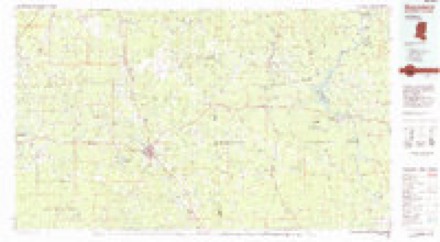
Topographic sheets covering this place
5 surveys from 12 printed sheetsMatched by testing this settlement's coordinate against the published boundary of every sheet in the United States Geological Survey's historical collection. Each opens the scanned sheet at the Survey.
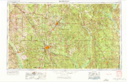
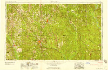
- 1953 USGS Hattiesburg quadrangle1:250000, 4 printings
- 1958 USGS Hattiesburg quadrangle1:250000, 2 printings
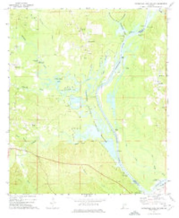
- 1971 USGS Coffeeville Lock And Dam quadrangle1:24000, 2 printings
- 1984 USGS Hattiesburg quadrangle1:250000, 2 printings
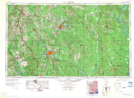
- 1984 USGS Waynesboro quadrangle1:100000, 2 printings
Fires near this place
43 since 1994Regional context, not property-specific evidence. The federal wildfire occurrence database lists 43 fires within 5 miles of West Bend between 1994 and 2020, burning about 335 acres in total. 1 started naturally. 4 were recorded as arson. Distance is straight-line from the map coordinates, so a fire counted here may appear on a neighbouring settlement's page as well.
| Reported cause | Fires |
|---|---|
| Debris and open burning | 17 |
| Missing data/not specified/undetermined | 7 |
| Recreation and ceremony | 5 |
| Equipment and vehicle use | 4 |
| Arson/incendiarism | 4 |
| Power generation/transmission/distribution | 3 |
| Smoking | 2 |
| Natural | 1 |
The most recent of them, most recent first, with the day each was reported and the service that recorded it.
| Date | Cause | Size | Reported by | Name on the report |
|---|---|---|---|---|
| 7 September 2011 | Power generation/transmission/distribution | under an acre | Alabama Forestry Commission | LENOIR LANDING RD., AL |
| 3 September 2019 | Debris and open burning | 10 acres | Alabama Forestry Commission | 20190903-1 |
| 20 September 2010 | Missing data/not specified/undetermined | 70 acres | Alabama Forestry Commission | not named |
| 16 September 2015 | Missing data/not specified/undetermined | 2.0 acres | Alabama Forestry Commission | SWR-20150916-001 |
| 16 September 1997 | Equipment and vehicle use | 2.0 acres | Alabama Forestry Commission | not named |
| 28 August 2006 | Missing data/not specified/undetermined | 24 acres | Alabama Forestry Commission | not named |
| 27 August 2000 | Debris and open burning | 30 acres | Alabama Forestry Commission | not named |
| 16 August 2019 | Debris and open burning | 5.0 acres | Alabama Forestry Commission | 20190816-13 |
Settlements close enough to share some of these fires:
Storms near this place
11 since 2009Regional context, not property-specific evidence. The National Weather Service names West Bend in 11 storm reports between 2009 and 2023: 3 hail, 3 thunderstorm wind, 2 tornado, 1 flood. The reports record 2 injuries. Each account below is quoted exactly as the forecast office filed it, from the NOAA Storm Events Database, and each date opens the federal record of that event.
| When | Event | Place named | Harm | What the report says |
|---|---|---|---|---|
| March 2021 | Tornado (EF2) | West Bend | 2 hurt | The tornado started on Sunlight Church Road in Wayne County, MS just west of the Choctaw County line. The tornado moved into extreme southwest Choctaw County and produced high end EF-1 intensity damage on CR 2 where several chicken houses were heavily damaged and numerous softwood and hardwood trees were downed or snapped. The tornado lost intensity as it headed northeast toward Silas, but still produced pockets of EF-1 damage especially in the Silas area, near Silas Branch. The tornado continued northeast and produced spotty, mainly light tree damage north of Highway 84 and toward Womack Hill. However, the tornado quickly strengthened and widened as it approached the Tombigbee River and crossed into northwest Clarke County. The tornado produced significant and extensive damage to large swaths of trees from the Trotter Road area right along the river, northeast to Campbell's landing road and to near the Marengo County line. Based on aerial footage of the extensive tree damage, the tornado was given an EF-2 intensity rating. A few river camp houses suffered roof damage. An older home on Campbell's Landing Road was heavily damaged and two people in the home suffered minor injuries. Adjacent modular homes suffered minor damage. |
| June 2017 | Flash Flood | West Bend | $50,000 | Flash flooding resulted in a portion of north bound Highway 69 collapsing. A section of Tallahatta Springs Road about 5 miles west of Highway 49 caved in. |
| September 2009 | Flood | West Bend | $5,000 | Three families were evacuated near the West Bend area of Clarke county due to river flooding along the Tombigbee River. Two families were evacuated on Trotter Road with one family having to leave their residence on Little Grove Hill Road. |
| June 2015 | Thunderstorm Wind | West Bend | $2,000 | Severe thunderstorm wind gusts blew down two trees onto Gumball Lane, 5 miles north of Coffeeville. |
| June 2023 | Thunderstorm Wind | West Bend | - | High winds downed trees blocking road on Highway 69 at Bethel Road. |
| January 2020 | Thunderstorm Wind | West Bend | - | High winds downed trees in the Coffeeville area. |
| April 2020 | Tornado (EF1) | West Bend | - | The tornado touched down approximately three quarters of a|mile west of West Bend Road and moved northwest across West Bend Road before |lifting. Numerous pine trees were snapped along the path. The start|point of the path is estimated. There was also a much larger area of|straight line wind damage observed around the area, with winds estimated|at 60-80, which resulted in tree damage. |
| March 2023 | Hail | West Bend | - | no account filed |
| February 2014 | Heavy Rain | West Bend | - | no account filed |
| May 2012 | Hail | West Bend | - | no account filed |
| May 2010 | Hail | West Bend | - | no account filed |
Nearest settlements
The eight closest, with where each one stands in the county. Distances are straight-line, computed from the Geographic Names Information System coordinates.
| Map | Place | Distance | Sheets |
|---|---|---|---|
| Fakit Chipunta (historical) | 4.3 miles | 12 | |
| Coffeeville | 5.1 miles | 12 | |
| Center Point | 6.0 miles | 12 | |
| Cunningham | 6.0 miles | 12 | |
| Smyer | 7.3 miles | 12 | |
| Woods Bluff | 8.5 miles | 12 | |
| Tattlersville | 8.7 miles | 12 | |
| McEntyre | 8.9 miles | 7 |
Provenance
This settlement is recorded in the Geographic Names Information System as feature 155300. The sheet list is computed by point-in-boundary test against the United States Geological Survey's historical topographic inventory. Both are works of the United States government and carry no copyright under 17 U.S.C. 105.
Wildfire. Short, Karen C. 2022. Spatial wildfire occurrence data for the United States, 1992-2020 [FPA_FOD_20221014]. 6th Edition. Fort Collins, CO: Forest Service Research Data Archive. https://doi.org/10.2737/RDS-2013-0009.6 Collected with United States Government funding and usable without additional permissions or fees.
Storms. NOAA National Centers for Environmental Information, Storm Events Database https://www.ncei.noaa.gov/stormevents/ A work of the United States government, no copyright under 17 U.S.C. 105. Narratives are quoted verbatim from the National Weather Service report and are not edited or summarised.