 Block
From the record
21 National Register listings published here.
Sources: the National Register database, National Park Service
57 topographic sheets and 5 fire insurance atlases across 2 places.
21 National Register listings published here.
Sources: the National Register database, National Park Service
Taken for the Office of War Information and the Farm Security Administration, who photographed the country between 1935 and 1944. Works of United States government photographers, with no known restriction on use. Each opens its catalogue record.
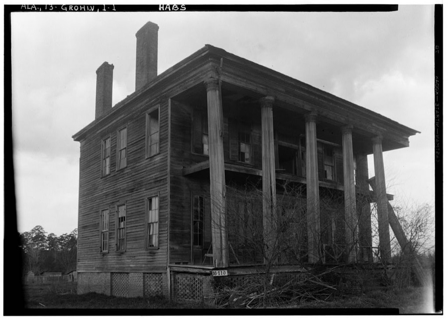
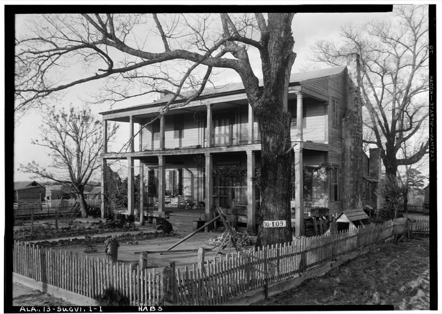
Every property in this county listed on the National Register of Historic Places, with the year it was listed and the federal nomination document.
| Photograph | Property | Type | Listed | Reference |
|---|---|---|---|---|
 | Airmount Grave Shelter | structure | 2000 | 00000142 |
 | Alston-Cobb House | building | 1979 | 79000382 |
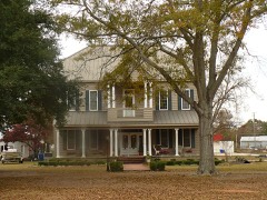 | Bush House | building | 1999 | 99000885 |
 | Clarke Mills | building | 1998 | 98000411 |
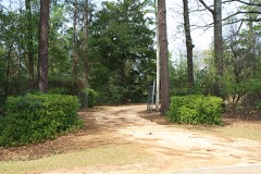 | Stephen Beech Cleveland House | building | 1999 | 99000886 |
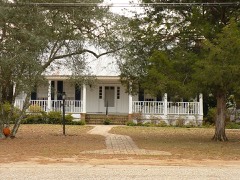 | John A. Coate House | building | 1999 | 99000887 |
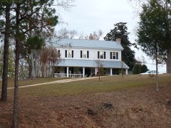 | Cobb House | building | 1999 | 99000888 |
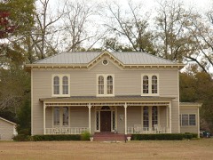 | Dickinson House | building | 1978 | 78000485 |
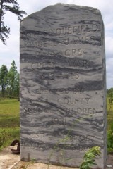 | Fort Sinquefield | site | 1974 | 74000403 |
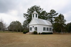 | Gainestown Methodist Church and Cemetery | building | 1999 | 99000889 |
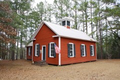 | Gainestown Schoolhouse | building | 1992 | 92000033 |
 | Grove Hill Courthouse Square Historic District | district | 1998 | 98000410 |
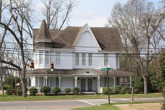 | Jackson Historic District | district | 1998 | 97001656 |
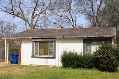 | Doit W. McClellan Lustron House | building | 2000 | 00000136 |
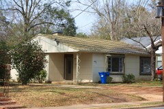 | J.P. McKee Lustron House | building | 2000 | 00000132 |
 | Isaac Nettles Gravestones | object | 2000 | 00000141 |
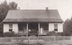 | Jesse Pickens Pugh Farmstead | building | 1999 | 99000890 |
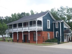 | Thomasville Historic District | district | 1999 | 99000151 |
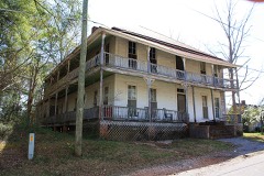 | Whatley Historic District | district | 1998 | 98000409 |
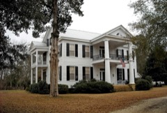 | Wilson-Finlay House | building | 1978 | 78000484 |
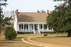 | Woodlands | building | 1980 | 80000683 |
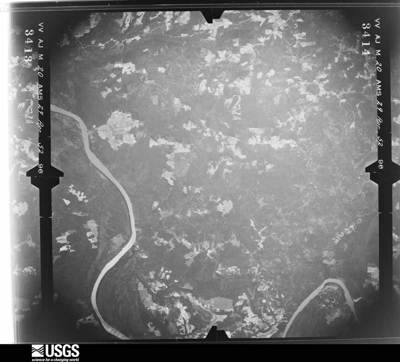
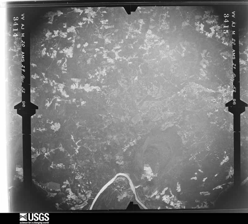
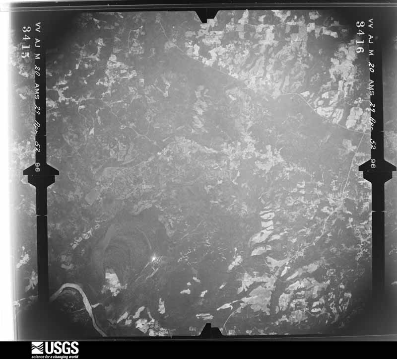
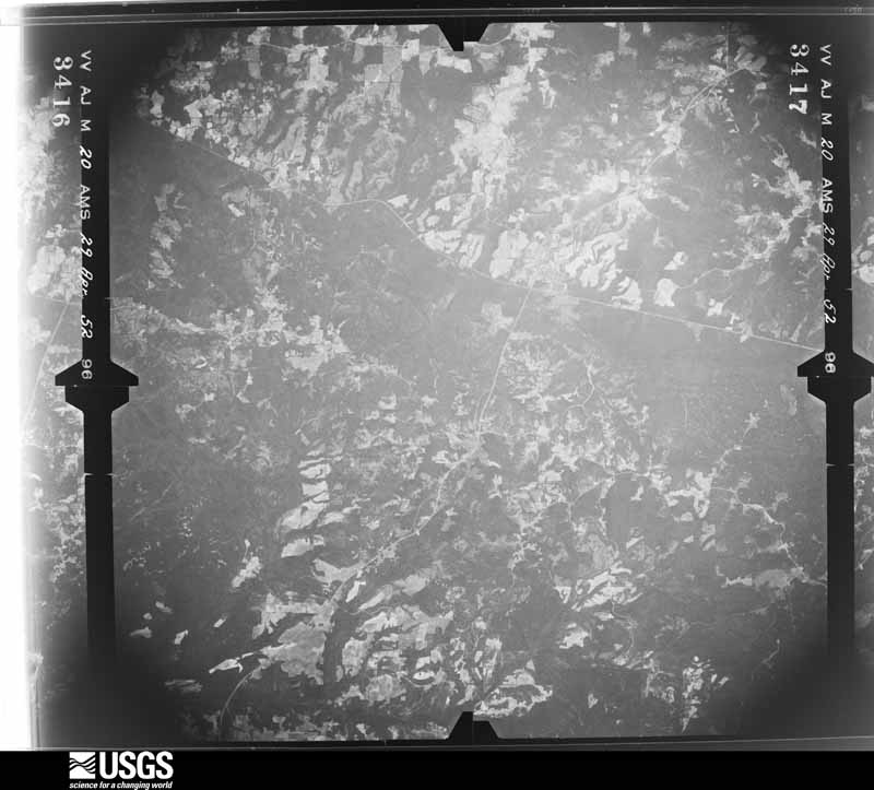
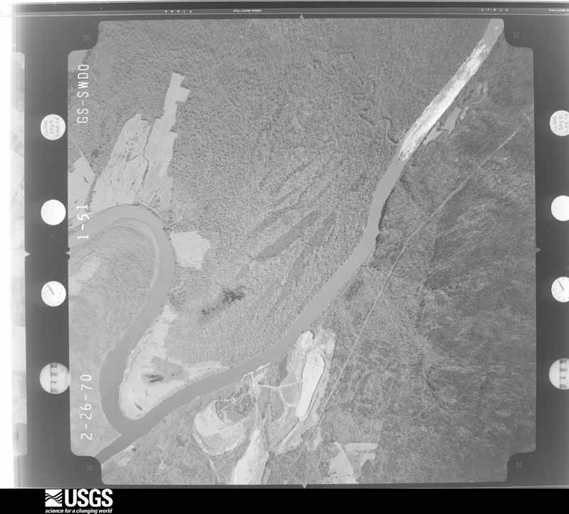
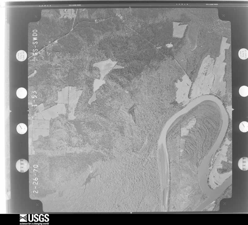
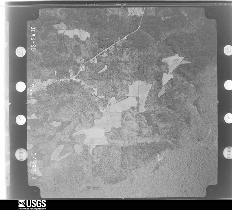
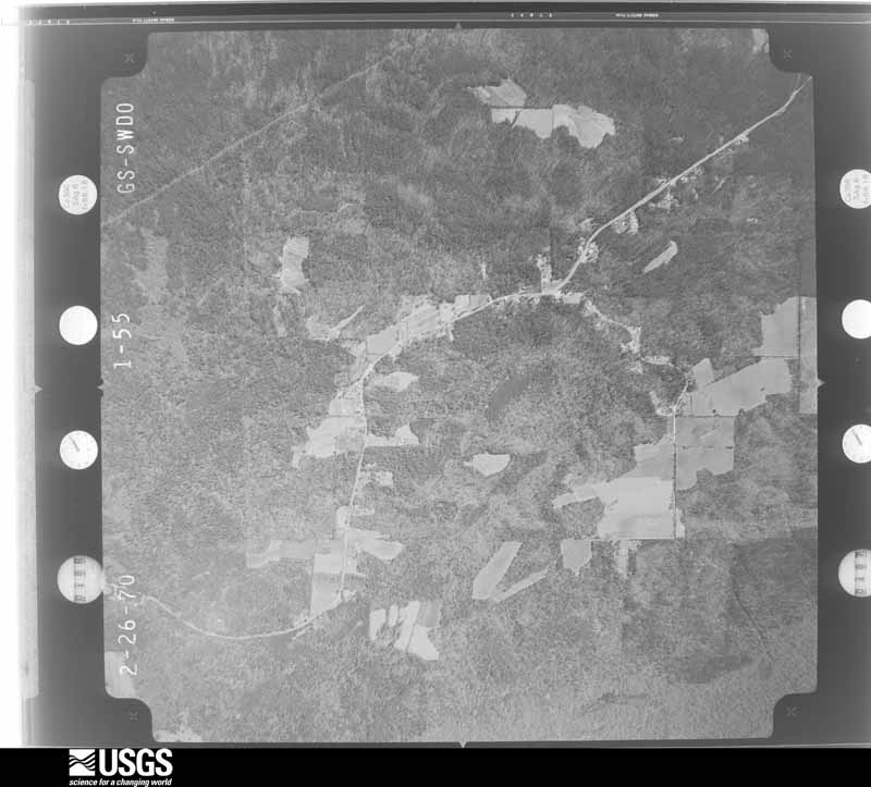
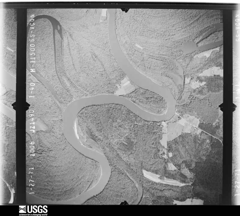
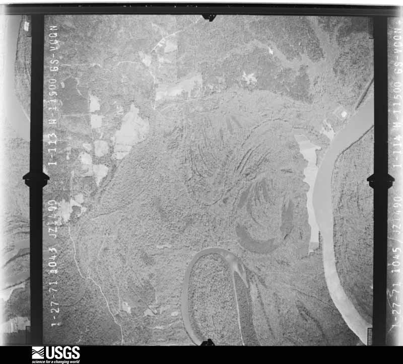
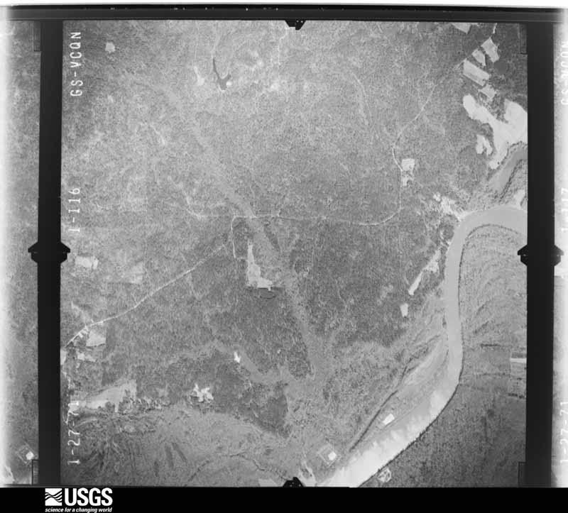
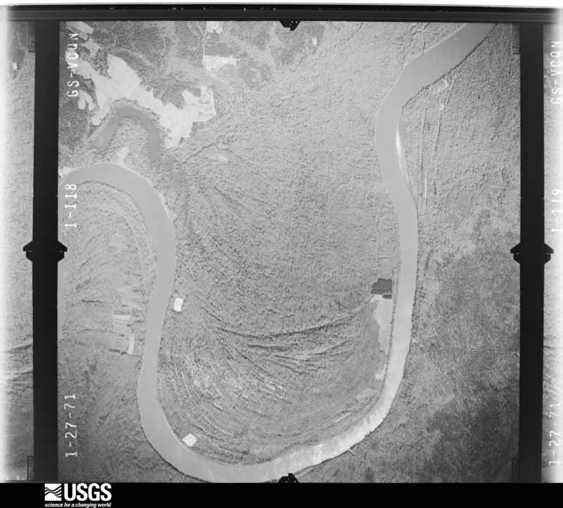
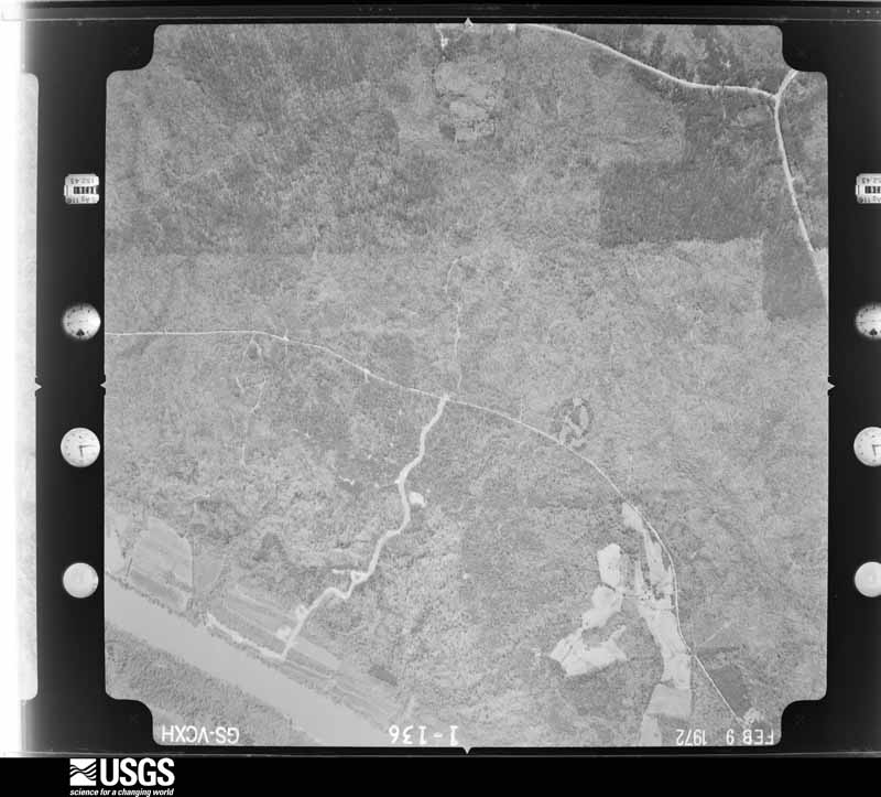
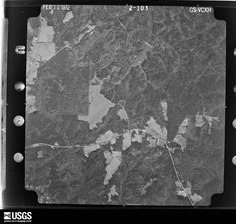
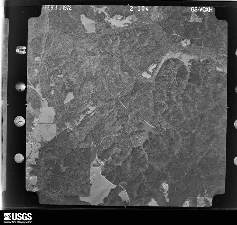
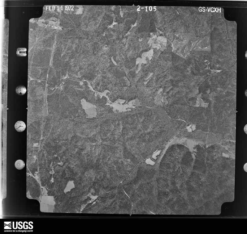
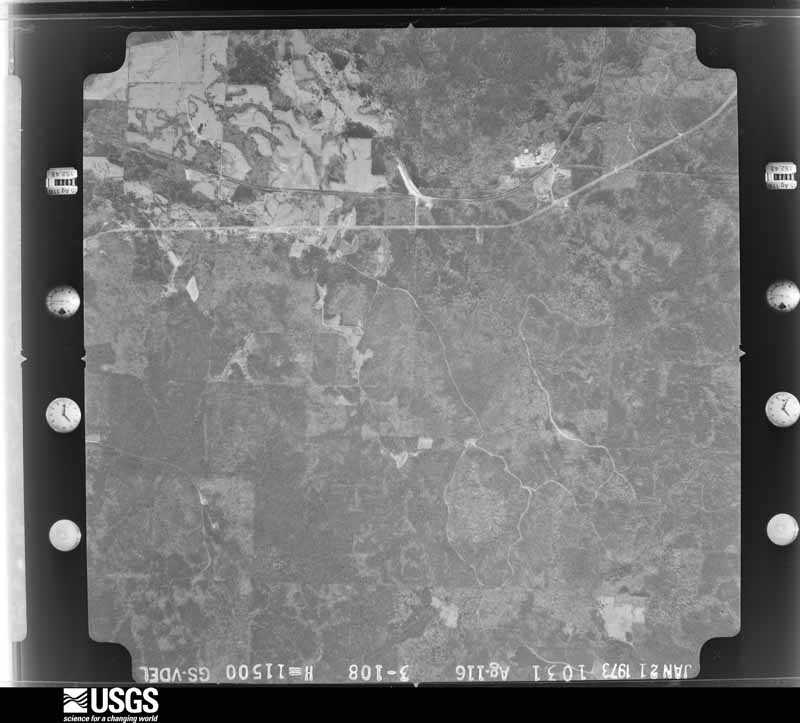
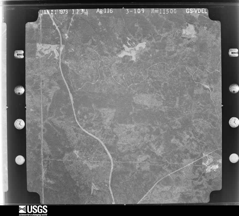
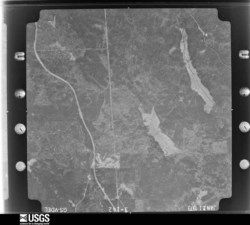
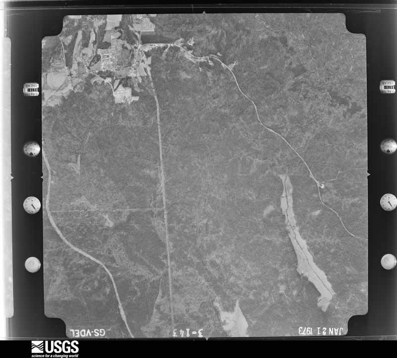
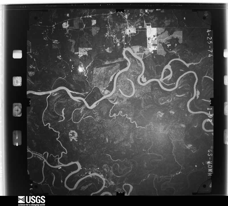
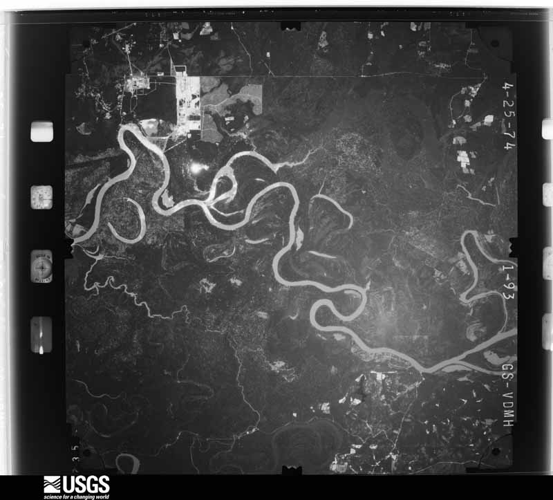
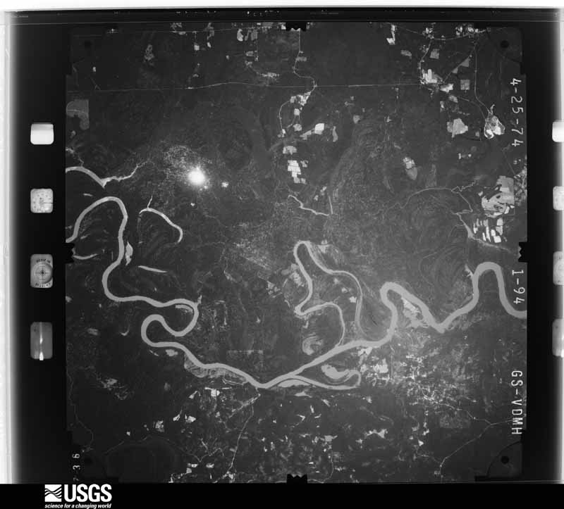
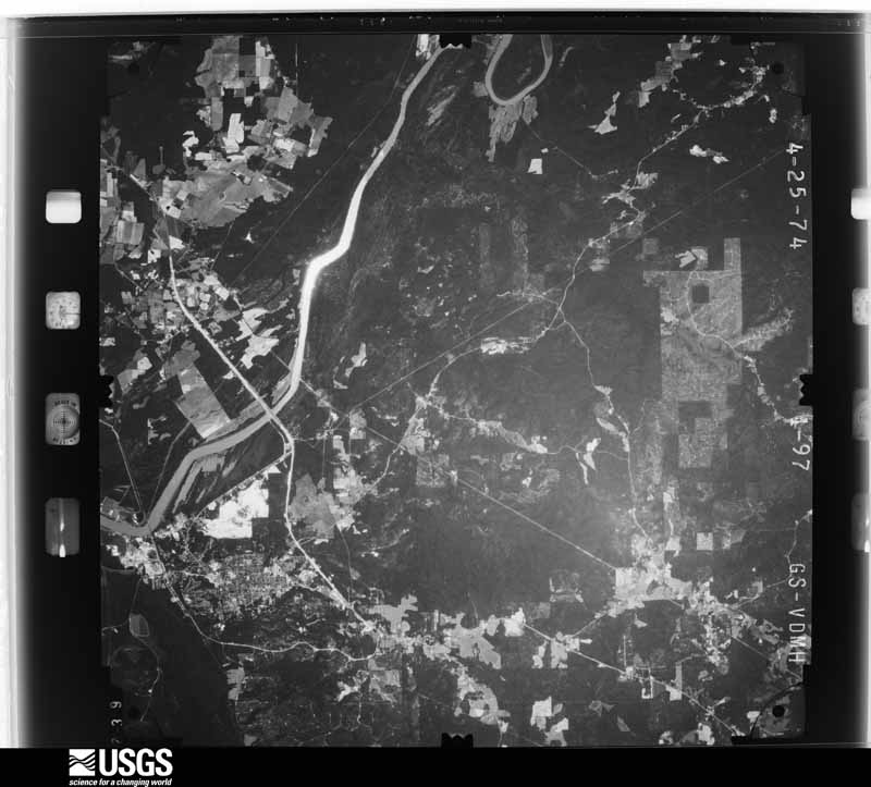
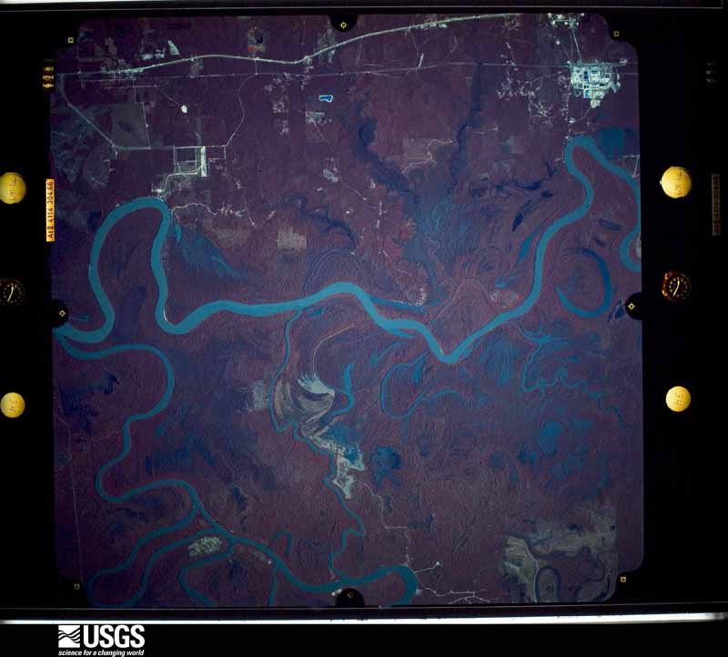
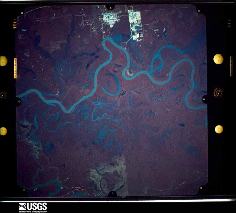
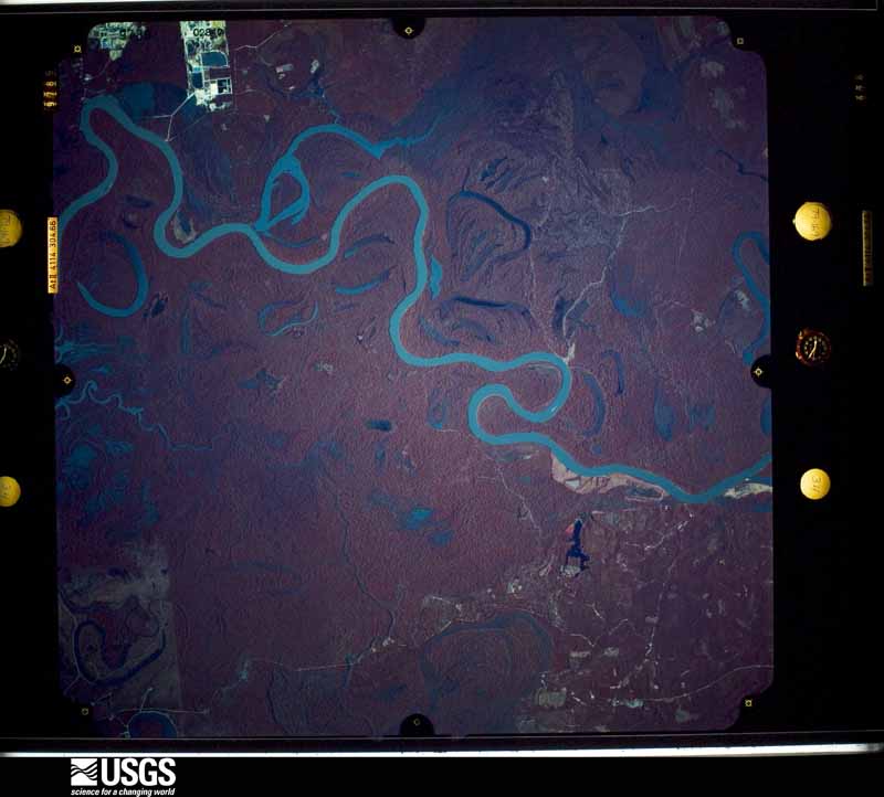
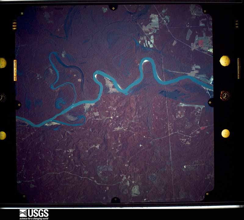
Flown by the U.S. Geological Survey between 1937 and 1989, the Aerial Photo Single Frames collection is the definitive mid-century view of the land: fields, roads and rivers as the camera saw them. The Survey holds 2,256 frames inside the rectangle that bounds this county; the 33 frames below were taken over the county itself, chosen across the decades of flights (at most four a year from that rectangle), so one flight cannot crowd out the rest. The full set is free to browse and download at EarthExplorer under the dataset Aerial Photo Single Frames.

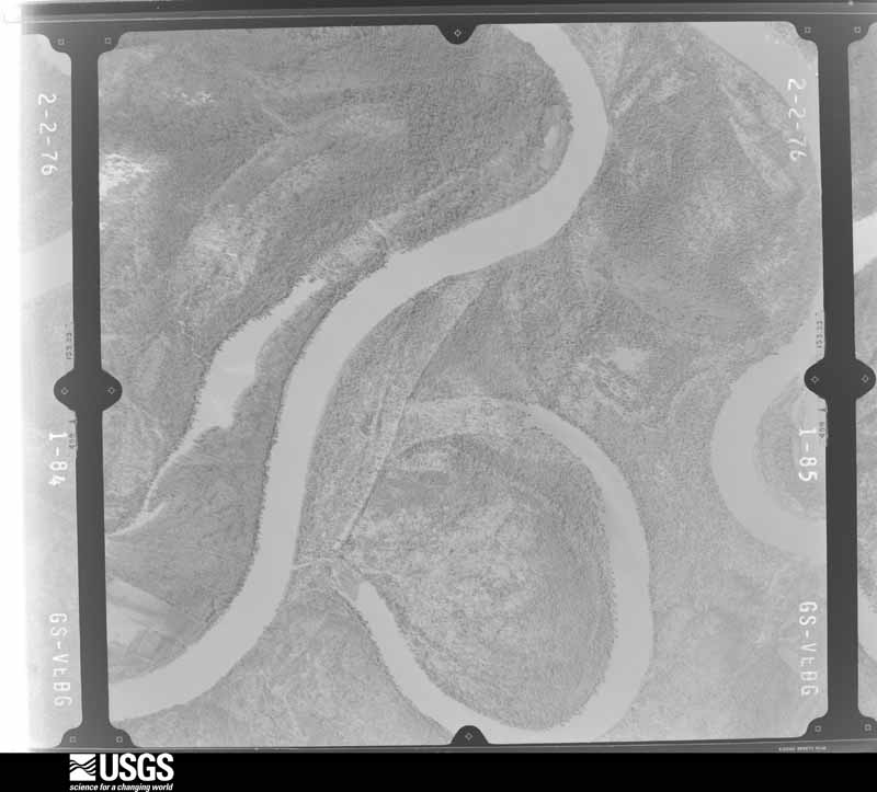
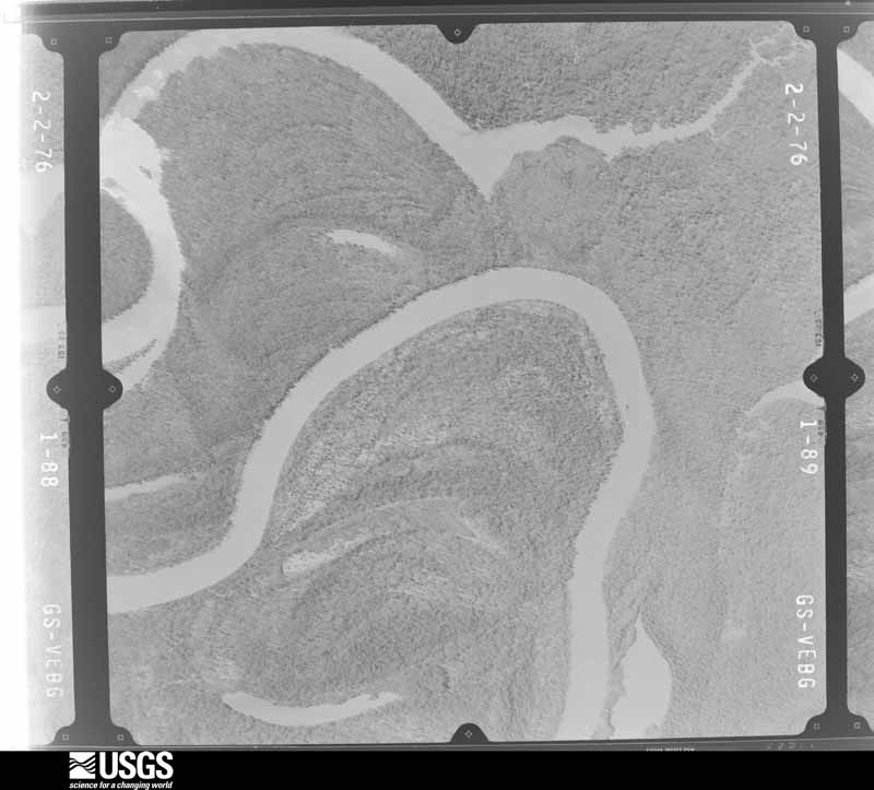
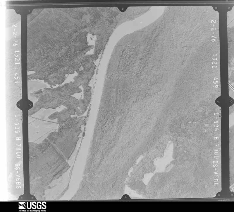
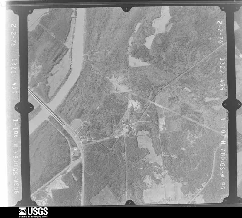
The thermometers that kept this county's weather, and the gages that measured the flow of its streams, as the federal records hold them. The extremes below are measured values from those records, not estimates.
Who lived here in 1950, one enumeration district at a time, as the Census Bureau described each district. Each row opens its official National Archives result, with Population Schedules and ED Maps available there.
Every wildfire the federal occurrence database records inside this county: 828 of them, burning about 9,080 acres. 45 started naturally and 107 were recorded as arson. Each settlement page carries the fires within five miles of it.
| Reported cause | Fires |
|---|---|
| Debris and open burning | 264 |
| Missing data/not specified/undetermined | 200 |
| Arson/incendiarism | 107 |
| Equipment and vehicle use | 85 |
| Recreation and ceremony | 50 |
| Natural | 45 |
| Smoking | 34 |
| Misuse of fire by a minor | 18 |
| Railroad operations and maintenance | 14 |
| Power generation/transmission/distribution | 10 |
| Other causes | 1 |
The five largest, by the area the report gives. None of them was recorded as arson.
| Date | Cause | Size | Reported by | Name on the report |
|---|---|---|---|---|
| 22 February 2011 | Missing data/not specified/undetermined | 2,332 acres | Alabama Forestry Commission | CO RD 19, AL |
| 29 May 2011 | Natural | 226 acres | Alabama Forestry Commission | HWY 154 (MM 13), AL |
| 20 September 2013 | Missing data/not specified/undetermined | 182 acres | Alabama Forestry Commission | SWR-20130920-001 |
| 5 June 2011 | Missing data/not specified/undetermined | 131 acres | Alabama Forestry Commission | 3490 OLD LINE ROAD, AL |
| 27 May 2018 | Natural | 125 acres | Alabama Forestry Commission | 20180527-2 |
| 28 April 2006 | Natural | 103 acres | Alabama Forestry Commission | not named |
| 3 October 2010 | Missing data/not specified/undetermined | 101 acres | Alabama Forestry Commission | not named |
| 6 March 1994 | Debris and open burning | 100 acres | Alabama Forestry Commission | not named |
Every settlement page carries the fires within five miles of it - see the settlement index below.
The NOAA Storm Events Database holds 564 reports for this county, causing no deaths, 25 injuries and about $8,220,750 in recorded property damage. Each settlement page carries the reports that name it.
| Kind of event | Reports |
|---|---|
| Thunderstorm Wind | 322 |
| Hail | 121 |
| Tornado | 45 |
| Flash Flood | 45 |
| Lightning | 17 |
| Funnel Cloud | 7 |
| Heavy Rain | 4 |
| Flood | 3 |
The most serious of them, by death, then injury, then recorded damage. The accounts are quoted exactly as the forecast office filed them.
| When | Event | Place named | Harm | What the report says |
|---|---|---|---|---|
| March 1996 | Tornado (F1) | Jackson Muni Arpt | 15 hurt, $1,000,000 | no account filed |
| November 1979 | Tornado (F2) | not stated | 2 hurt, $250,000 | no account filed |
| March 2021 | Tornado (EF2) | West Bend | 2 hurt | The tornado started on Sunlight Church Road in Wayne County, MS just west of the Choctaw County line. The tornado moved into extreme southwest Choctaw County and produced high end EF-1 intensity damage on CR 2 where several chicken houses were heavily damaged and numerous softwood and hardwood trees were downed or snapped. The tornado lost intensity as it headed northeast toward Silas, but still produced pockets of EF-1 damage especially in the Silas area, near Silas Branch. The tornado continued northeast and produced spotty, mainly light tree damage north of Highway 84 and toward Womack Hill. However, the tornado quickly strengthened and widened as it approached the Tombigbee River and crossed into northwest Clarke County. The tornado produced significant and extensive damage to large swaths of trees from the Trotter Road area right along the river, northeast to Campbell's landing road and to near the Marengo County line. Based on aerial footage of the extensive tree damage, the tornado was given an EF-2 intensity rating. A few river camp houses suffered roof damage. An older home on Campbell's Landing Road was heavily damaged and two people in the home suffered minor injuries. Adjacent modular homes suffered minor damage. |
| May 1986 | Thunderstorm Wind | not stated | 2 hurt | no account filed |
| April 2018 | Flash Flood | Tallahatta Spgs | 1 hurt, $1,200,000 | Five to nine inches of rain fell in a short duration along and east and west of the Highway 43 corridor from Thomasville to southwest of Grove Hill. At the height of the flash flood event, Highway 43 near Bassett Creek was covered in 6 feet of water. Several other roads in this area were also submerged in several feet of water, including Butler Drive in Thomasville. Multiple vehicles were submerged across the area. Approximately 20 water rescues had to be made from houses and residences with rescues reported 5 miles southwest of Grove Hill up toward Fulton. 25 homes experienced significant flooding. The flash flooding also resulted in significant infrastructure damage to roads, water lines, and drainage. The Clarke County Emergency Management Director reported 9.2 inches of rainfall. |
| March 1996 | Tornado (F0) | Thomasville | 1 hurt, $75,000 | no account filed |
| January 1953 | Tornado (F3) | not stated | 1 hurt, $25,000 | no account filed |
| April 1995 | Thunderstorm Wind | Jackson | 1 hurt, $5,000 | Trees were blown down just northeast of Jackson along County Road 10. A tree was blown onto a mobile home damaging the mobile home and injuring an occupant. |
| January 2017 | Flash Flood | Jackson | $750,000 | Significant flash flooding occurred in the Jackson, AL area due to 5 to 7 inches of rain falling over a very short period of time. 5 1/2 inches were measured in just 90 minutes. Numerous homes and roads flooded, with a few water rescues becoming necessary. Numerous homes on Cherry Avenue were flooded. 3 mobile homes were flooded on Warren Street. The Fish House Restaurant was also flooded. Several roads suffered damage. |
| June 1998 | Thunderstorm Wind | Countywide | $500,000 | A line of severe thunderstorms moved through the county from west to east between 1045 pm and 1140 pm. Trees and power lines were blown down throughout the county. Some of the trees fell onto homes and businesses in the Jackson area where nine buildings were damaged. Electricity was out across much of the county because of downed power lines. Around 200 am near Toddtown (between Jackson and Grove Hill) a family was using candles to light their home. Tragically the candle started a fire in the home and a wheelchair bound female was killed in the fire. |
| March 2001 | Flash Flood | Countywide | $365,000 | no account filed |
| February 2020 | Flood | Woodbluff | $250,000 | Flooding on the Tombigbee River in Clarke County started on February 7th, 2020 and did not end until March 17th, 2020. At the Coffeeville Lock and Dam, the river crested at 46.85 feet on February 22nd, which is right near the major flood level of 47 feet. At Leroy, the river crested at 33.35 feet on February 22nd, which is in moderate flood levels. In total, 18 structures were flooded along the river in Clarke County. Two of the structures had 2 to 3 feet of water in them. Most of the structures are camp houses, but approximately 4 of them are primary residences. |
| December 1983 | Tornado (F1) | not stated | $250,000 | no account filed |
| March 1971 | Tornado (F3) | not stated | $250,000 | no account filed |
| November 2004 | Tornado (F1) | Chilton | $200,000 | An F1 tornado touched down just southwest of Highway 154 near Chilton. The tornado moved northeast along Highway 154 for about three miles before dissipating. The tornado damaged thirteen homes and destroyed three manufactured homes. Most of the homes were damaged when the tornado first touched down just southwest of Chilton. The area that the tornado struck is not heavily populated. No injuries were reported. |
| November 2014 | Tornado (EF1) | Salitpa | $150,000 | This tornado produced a non-continuous damage path. The storm moved out of Washington County and into Clarke County east of St. Stephens. The storm continued northeast and crossed the Tombigbee river into Clarke County. The tornado caused damage along Bolen Town Road where numerous trees were snapped and a large tree was completely uprooted and fell on a house, causing extensive damage. An older home suffered roof damage near Toddtown. Tree damage continued along Highway 69 before the storm weakened with damage ending near Antioch Road. |
| April 2011 | Tornado (EF2) | Gainestown | $145,000 | The tornado touched down taking a large section of roof off of a wood frame single story home near the center of circulation, pulling a single-wide mobile home off of its foundation on the north side of the circulation, and lifting off the roof of a nearby double-wide mobile home on the south side of the circulation. The tornado circulation quickly widened to 200 yards and strengthened, rolling another single-wide mobile home 60 yards then causing it to disintegrate as it hit a large tree. The mobile home's bent undercarriage was left about 60 yards to the left of the tornado path. The tornado continued to the east and quickly lifted in a pine forest. |
| April 2011 | Tornado (EF1) | Carlton | $102,000 | Aerial survey by Alabama Forestry Commission indicated a 300 to 600 yard wide path of trees snapped or blown over on the Fred T. Stimpson State Game Preserve. Several power poles and lines were snapped, and a storage shed was destroyed. The timber losses of large longleaf pine and slash pine were estimated to be close to 3 million dollars. |
| December 2018 | Flash Flood | Whatley | $100,000 | Extensive flash flooding occurred in Clarke County due to 5 to 8 inches of rain that fell in a short duration. The most extensive flooding occurred in the Thomasville and Fulton areas, particularly around Bassett Creek. 31 roads were flooded and 15 were damaged. 2 homes in Fulton along School Street were flooded. Flooding also occurred along Highway 43 just south of Thomasville near Dummy Line Road, stranding vehicles. |
| May 2006 | Hail | Thomasville | $100,000 | Large hail from a thunderstorm damaged numerous vehicles and several roofs just south of Thomasville. The local EMA director was on the phone with the National Weather Service reporting the hail, when his windshield was busted out by the baseball size hail. The large hail lasted for several minutes and caused widespread damage in the south part of town. |
| April 1999 | Tornado (F0) | Thomasville | $100,000 | A F0 tornado touched down along County Road 48 at Bashi Hwy or about 3 miles northwest of Thomasville. About 100 trees were blown down. Some trees were snapped off about 40 feet in the air; the branches below were completely stripped off. The tornado then skipped northeast, briefly touching down along U.S. Highway 43 or 3 miles north of Thomasville. Again, trees were blown down along with power lines and telephone wires. An automobile was damaged when it hit a tree across a road. No structural damage to any homes or injuries were reported. The tornado lifted back into the cloud just northeast of U.S. Highway 43. Most of the fallen trees were facing to the northeast. |
| January 2008 | Thunderstorm Wind | Thomasville | $75,000 | A thunderstorm produced high winds that damaged the High School sports complex and downed trees. |
| August 2014 | Lightning | Grove Hill | $65,000 | Lightning struck a 911 tower and caused 65 thousand dollars in damage to the tower and phone system. |
| July 2016 | Lightning | Thomasville | $60,000 | Lightning struck the Thomasville 911 call center causing 60k in damage. |
| January 2019 | Flash Flood | Tallahatta Spgs | $50,000 | Water rescues on Limestone Circle in 2 homes with 6 total people. One car with water up to the windows and 4 to 5 feet of water over Limestone Circle. |
| June 2017 | Flash Flood | West Bend | $50,000 | Flash flooding resulted in a portion of north bound Highway 69 collapsing. A section of Tallahatta Springs Road about 5 miles west of Highway 49 caved in. |
| May 2009 | Lightning | Jackson | $50,000 | Lightning struck an O'Reilly's auto parts store and caused a fire. |
| April 2009 | Flash Flood | Fulton | $50,000 | Heavy rains from a thunderstorm flooded the fire department and post office in Fulton. Water also covered the railroad tracks near Fulton. |
| December 1995 | Thunderstorm Wind | Manila and Gosport | $50,000 | High winds blew shingles from 10 homes in Wrights Corner which is near Manilla. Several trees were also blown down. A roof was also damaged by high winds near Gosport. Trees and power lines were also blown down. No injuries were reported at either location. |
| April 1994 | Thunderstorm Wind | not stated | $50,000 | Trees were reportedly blown down all across Clarke County during a thunderstorm that occurred around 1815 CST. A plane anchored at the Grove Hill airport was flipped and just east of the airport an old armory occupied by a tire company suffered roof damage. Several trees fell on buildings causing some structural damage. Much of the reported damage occurred in and around Grove Hill. About 1500 electric customers were without power. |
| June 1994 | Thunderstorm Wind | Jackson | $50,000 | Thunderstorm wind damaged temporary classroom buildings and took off an awning at the Gillmore Elementary School in Jackson. In Alma, about eight miles east of Jackson, five trees were blown down by the wind and seven acres of corn was laid flat. |
| June 1994 | Thunderstorm Wind | Alma | $50,000 | Thunderstorm wind damaged temporary classroom buildings and took off an awning at the Gillmore Elementary School in Jackson. In Alma, about eight miles east of Jackson, five trees were blown down by the wind and seven acres of corn was laid flat. |
| March 1996 | Tornado (F1) | Coffeeville | $50,000 | no account filed |
| July 2013 | Thunderstorm Wind | Talahatta | $40,000 | Clarke County Emergency Management reported trees and power lines blown down in severe thunderstorm winds on Tallahatta Road approximately 8 miles west of Thomasville. Also reported pea size hail. |
| April 2007 | Thunderstorm Wind | Salitpa | $40,000 | The large thunderstorm bow echo continued moving east and blew down several trees and powerlines near Salitpa. A few of the trees fell on homes and caused roof damage. Heavy rains also caused minor street flooding. |
| April 2017 | Lightning | Thomasville | $30,000 | A lightning strike caused a house fire along Finley Crossing Road. |
| March 2016 | Thunderstorm Wind | Bashi | $30,000 | Winds estimated at 70 mph damaged a house. |
| March 2016 | Thunderstorm Wind | Thomasville | $30,000 | Winds estimated at 70 mph damaged blew the roof off a house and downed trees on cars. |
| March 2016 | Thunderstorm Wind | Thomasville | $30,000 | Winds estimated at 70 mph damaged the awning at the Chevron in Thomasville and caused structural damage at the Clarke County Pole company. |
| February 2013 | Tornado (EF1) | Salitpa | $30,000 | The tornado touched down in a deeply wooded area west of|County Road 34 in eastern Washington county. The tornado quickly|intensified to EF-1 strength as it crossed County Road 34 damaging|the roofs of a few homes and blowing down numerous pine trees. The|tornado continued northeast across the Tombigbee river crossing into|Clarke County where it produced damage on old lock road to 3 wood|frame homes (blowing one off of its masonry block foundation)...|rolling one single wide mobile home over onto its side...and blowing|another single wide mobile home off of its blocks. The tornado|continued east across highway 69 snapping several pine trees. The|tornado then dissipated in a deeply wooded area east of highway 69|before reaching U.S. Highway 43 north of Jackson. A second brief|tornado formed from this same thunderstorm a short distance farther|southeast near Highway 43 (see Antioch tornado with this event). |
| May 2003 | Thunderstorm Wind | Gainestown | $30,000 | High thunderstorm winds blew down several trees near Gainestown, one falling on the roof of a house, producing damage. Half dollar sized hail was also reported with this storm. |
| March 1996 | Lightning | Jackson | $30,000 | no account filed |
| January 2019 | Flash Flood | Rural | $25,000 | Water flowing over both side of Highway 43. |
| September 2018 | Flash Flood | Morvin | $25,000 | Buxton Chapel Road closed due to washout from flooding. |
| September 2018 | Flash Flood | Jackson | $25,000 | Wiggins Road closed due to a washout from flooding. |
| June 2017 | Tornado (EF0) | Whatley | $25,000 | A brief EF-0 tornado touched down on a private hunting cap just west of Amityville Road. The tornado damaged a 100 to 150 pine trees along its short path. |
| February 2016 | Thunderstorm Wind | Jackson | $25,000 | Winds estimated at 60 mph downed a tree on a house on maple Drive. |
| April 2014 | Lightning | Grove Hill | $25,000 | Lightning struck a house and started a fire. |
| February 2013 | Flash Flood | Scyrene | $25,000 | Heavy rains caused several roads to be washed out in portions of the county. |
| July 2009 | Thunderstorm Wind | Jackson | $25,000 | Winds estimated at 70 mph blew the roof of a National Guard armory off. A large portion of the roof landed on a vehicle in the parking lot. Multiple trees were also blown down. |
| July 2009 | Thunderstorm Wind | Grove Hill | $25,000 | Winds estimated at 70 mph downed a large limb on a vehicle on Highway 43. It caused two injuries and one of them was transported to a hospital. |
| March 1996 | Tornado (F1) | Suggsville | $25,000 | no account filed |
| April 1992 | Tornado (F1) | not stated | $25,000 | no account filed |
| May 1983 | Tornado (F2) | not stated | $25,000 | no account filed |
| March 1980 | Tornado (F1) | not stated | $25,000 | no account filed |
| July 2020 | Lightning | Grove Hill | $22,000 | A lightning strike to the 911 center damaged multiple radios. |
| November 2022 | Lightning | Alma | $20,000 | Lightning struck a house and caused a fire. |
| January 2017 | Thunderstorm Wind | Alma | $20,000 | Winds estimated at 70 mph damaged several homes in the Perry Chapel community. |
| February 2012 | Thunderstorm Wind | Jackson | $20,000 | An isolated microburst occurred at the Harper Headstart School. The school sustained roof damage...with nearly all the tar roofing material peeled off...metal fencing was flattened and the school lost electrical power due to a transformer catching fire. |
| December 2000 | Lightning | Grove Hill | $20,000 | Lightning struck an abandoned house near Grove Hill. The house caught on fire and most of it was destroyed before the fire department could put the fire out. |
The Survey's mineral resources record lists 27 workings inside this county. 10 still produce and 17 are closed or unrecorded. Each settlement page carries the workings within five miles of it.
| Commodity | Workings |
|---|---|
| Sand and Gravel, Construction | 18 |
| Bromine | 5 |
| Fullers Earth | 1 |
| Zeolites | 1 |
| Clay | 1 |
| Stone, Crushed/Broken | 1 |
| Fullers Earth, Zeolites | 1 |
The least common of them first, because a county's hundredth gravel pit says nothing its first ten did not.
| Where | Site | Commodity | Status | Recorded |
|---|---|---|---|---|
| Cla 3 Clay Prospect | Clay | Prospect | ||
| Old Fuller Earth Mine | Fullers Earth, Zeolites | Past Producer | Heulandite | |
| Suggsville Pit | Stone, Crushed/Broken | Past Producer | ||
| Tallahatta Claystone, Clarke County | Fullers Earth, Zeolites | Prospect | BEDDED | |
| Bolen Well and Upper Salt Works | Bromine | Occurrence | Underground | |
| Bush Well | Bromine | Occurrence | 1902 | |
| Lower Salt Works | Bromine | Occurrence | Halite | |
| The Mccorquodale Well | Bromine | Occurrence | Underground | |
| The Salt Mountain Well | Bromine | Occurrence | 1904 | |
| 02 | Sand and Gravel, Construction | Past Producer | ||
| Finch Pit | Sand and Gravel, Construction | Producer | ||
| Grove Hill Pit | Sand and Gravel, Construction | Past Producer | ||
| Hamilton Pit | Sand and Gravel, Construction | Producer | ||
| Hebron Pit | Sand and Gravel, Construction | Past Producer | ||
| Jackson Pit | Sand and Gravel, Construction | Producer | ||
| Parker Pit | Sand and Gravel, Construction | Past Producer | ||
| Paul Thomas Pit | Sand and Gravel, Construction | Producer | ||
| Pit #3 | Sand and Gravel, Construction | Producer | ||
| Pit #4 | Sand and Gravel, Construction | Producer | ||
| Pit Number 1 | Sand and Gravel, Construction | Producer | ||
| Pit Number 2 | Sand and Gravel, Construction | Producer | Quartz | |
| Scyrenne Pit | Sand and Gravel, Construction | Past Producer | ||
| Unnamed Quarry | Sand and Gravel, Construction | Producer | Quartz | |
| Unnamed Quarry | Sand and Gravel, Construction | Producer | Quartz | |
| Unnamed Quarry | Sand and Gravel, Construction | Occurrence | Quartz | |
| W.T. Ratliff Sand & Gravel Co. Pit | Sand and Gravel, Construction | Past Producer | ||
| Whatley Pit | Sand and Gravel, Construction | Past Producer |
Named settlements recorded in the Geographic Names Information System, each with the topographic sheets covering it. Villages, hamlets and abandoned places alike. Each is shown with the nearest named watercourse or landform and the survey quadrangle it falls on. The 2 places that were also surveyed for fire insurance come first, with the number of atlases and photographs held for them.
Jackson census division · 36545 · Jackson quadrangle
8 sheets, 1953 to 1986
Fire insurance: 3 atlases
Thomasville census division · 36784 · Thomasville quadrangle
8 sheets, 1953 to 1986
Fire insurance: 2 atlases
Grove Hill census division · 36451 · Near Orange Hill · Whatley quadrangle
7 sheets, 1953 to 1986
Thomasville census division · 36784 · On Johnson Creek · Bashi quadrangle
8 sheets, 1953 to 1986
Coffeeville census division · 36727 · On Tallahatta Creek · Morvin quadrangle
8 sheets, 1953 to 1986
Coffeeville census division · 36524 · By Ball Bluff · Coffeeville quadrangle
12 sheets, 1953 to 1984
Coffeeville census division · 36727 · On Cunningham Branch · Woods Bluff quadrangle
12 sheets, 1953 to 1984
Fulton census division · 36436 · On Little Bassett Creek · Fulton East quadrangle
7 sheets, 1953 to 1986
Coffeeville census division · 36727 · Near Campbell Mountain · Woods Bluff quadrangle
12 sheets, 1953 to 1984
Coffeeville census division · 36524 · On Flat Woods Creek · Coffeeville Lock And Dam quadrangle
12 sheets, 1953 to 1984
No longer a settlement
Fulton census division · 36446 · On Orphans Creek · Fulton East quadrangle
7 sheets, 1953 to 1986
Thomasville census division · 36784 · On Johnson Creek · Bashi quadrangle
8 sheets, 1953 to 1986
Grove Hill census division · 36482 · On Mackey Branch · Claiborne quadrangle
7 sheets, 1953 to 1986
Jackson census division · 36545 · On Tattilaba Creek · Jackson quadrangle
8 sheets, 1953 to 1986
Thomasville census division · 36524 · On Little Harris Creek · McEntyre quadrangle
7 sheets, 1953 to 1986
Coffeeville census division · 36784 · On Perry Branch · Morvin quadrangle
8 sheets, 1953 to 1986
Coffeeville census division · 36727 · On Bashi Creek · Woods Bluff quadrangle
12 sheets, 1953 to 1984
Fulton census division · 36784 · On Bassett Creek · Fulton East quadrangle
7 sheets, 1953 to 1986
Thomasville census division · 36784 · On Tantroft Branch · Fulton West quadrangle
8 sheets, 1953 to 1986
Thomasville census division · 36784 · On Dick Mill Creek · Morvin quadrangle
8 sheets, 1953 to 1986
Coffeeville census division · 36545 · Tattlersville quadrangle
12 sheets, 1953 to 1984
Walker Springs census division · 36545 · On Hand Pole Branch · Walker Springs quadrangle
8 sheets, 1953 to 1986
Coffeeville census division · 36524 · On West Bend Creek · Coffeeville Lock And Dam quadrangle
12 sheets, 1953 to 1984
Grove Hill census division · 36482 · On Fishers Creek · Whatley quadrangle
7 sheets, 1953 to 1986
Coffeeville census division · 36727 · By Woods Bluff · Woods Bluff quadrangle
12 sheets, 1953 to 1984
The vanished settlements of Clarke County: the places named above that are no longer on the map.
8 topographic sheets and 3 fire insurance atlases, 1930 to 1949
8 topographic sheets and 2 fire insurance atlases, 1939
The complete index, with nothing left out. Each of these is a separate record with its own page: a federal survey report, or the case file that argued a property on to the National Register. Both are public domain and reproduced word for word.
The vanished settlements of Clarke County, the places these records name that are no longer on the map.