 Block
Chickasawba, Arkansas
10 topographic sheets cover this place, the earliest surveyed in 1939 and the latest in 1986. It stands in Chickasawba Township. It lies in ZIP code area 72315. It stands on Chickasawba Mound. The Survey maps it on the Blytheville quadrangle.
On record in Chickasawba
Buildings and businesses the archive holds for this place. Each opens its own page, with the source record it came from.
On the National Register within a mile 2 records
The National Register names another town for these. They stand within one mile of this settlement's coordinate.
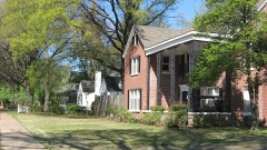 West Main Street Residential Historic Districtlisted 2010 · 0.5 miles away
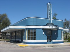 Blytheville Greyhound Bus Stationlisted 1987 · 0.9 miles away
Topographic sheets covering this place
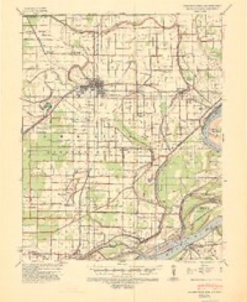
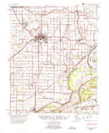
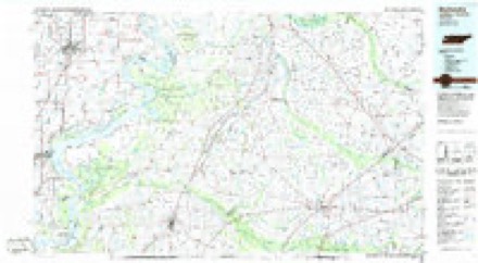
7 surveys from 10 printed sheetsMatched by testing this settlement's coordinate against the published boundary of every sheet in the United States Geological Survey's historical collection. Each opens the scanned sheet at the Survey.
- 1939 USGS Blytheville quadrangle1:62500
- 1955 USGS Blytheville quadrangle1:62500
- 1956 USGS Blytheville quadrangle1:250000, 2 printings
- 1959 USGS Blytheville quadrangle1:250000
- 1972 USGS Blytheville quadrangle1:24000, 2 printings
- 1976 USGS Blytheville quadrangle1:62500
- 1986 USGS Blytheville quadrangle1:100000, 2 printings
Storms near this place
2 since 2017Regional context, not property-specific evidence. The National Weather Service names Chickasawba in 2 storm reports between 2017 and 2018: 1 flash flood, 1 flood. No death or injury is recorded in these reports. Each account below is quoted exactly as the forecast office filed it, from the NOAA Storm Events Database, and each date opens the federal record of that event.
| When | Event | Place named | Harm | What the report says |
|---|---|---|---|---|
| June 2017 | Flash Flood | Chickasawba | $10,000 | Street and parking lots flooded along with standing water in fields with depths of 4 to 6 inches across Blytheville. |
| August 2018 | Flood | Chickasawba | - | Rain of over 6 inches in 10 hours caused extensive street flooding, ponding and interruption of city services including trash pickup. |
Nearest settlements
The eight closest, with where each one stands in the county. Distances are straight-line, computed from the Geographic Names Information System coordinates.
| Map | Place | Distance | Sheets |
|---|---|---|---|
| Blytheville | 0.2 miles | 10 | |
| North Sabie (historical) | 2.3 miles | 10 | |
| Dogwood | 2.4 miles | 10 | |
| Gosnell | 3.4 miles | 10 | |
| Burton | 3.6 miles | 12 | |
| Yarbro | 3.7 miles | 10 | |
| Promised Land | 4.2 miles | 12 | |
| Lemsford | 4.8 miles | 9 |
Elsewhere
Matched on this settlement's Geographic Names Information System number rather than its name, so it cannot be a different place of the same name in another state.
| Wikidata item Q122590191 | The structured record the population and elevation above come from. Public domain (CC0). |
Provenance
This settlement is recorded in the Geographic Names Information System as feature 61868. The sheet list is computed by point-in-boundary test against the United States Geological Survey's historical topographic inventory. Both are works of the United States government and carry no copyright under 17 U.S.C. 105.
Storms. NOAA National Centers for Environmental Information, Storm Events Database https://www.ncei.noaa.gov/stormevents/ A work of the United States government, no copyright under 17 U.S.C. 105. Narratives are quoted verbatim from the National Weather Service report and are not edited or summarised.