 Block
Yarbro, Arkansas
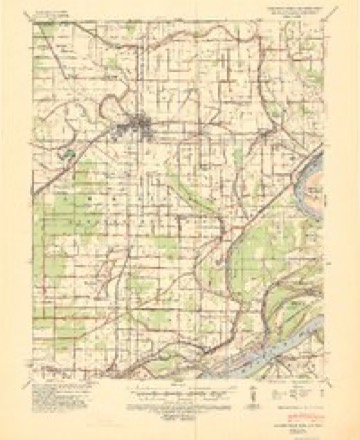
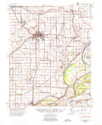
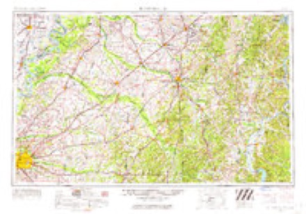
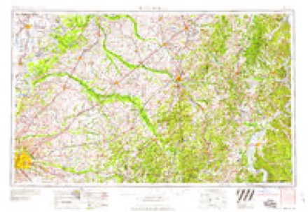
10 topographic sheets cover this place, the earliest surveyed in 1939 and the latest in 1986. It stands in Chickasawba Township. It lies in ZIP code area 72315. The Survey maps it on the Blytheville quadrangle.
Topographic sheets covering this place
7 surveys from 10 printed sheetsMatched by testing this settlement's coordinate against the published boundary of every sheet in the United States Geological Survey's historical collection. Each opens the scanned sheet at the Survey.
- 1939 USGS Blytheville quadrangle1:62500
- 1955 USGS Blytheville quadrangle1:62500
- 1956 USGS Blytheville quadrangle1:250000, 2 printings
- 1959 USGS Blytheville quadrangle1:250000
- 1972 USGS Blytheville quadrangle1:24000, 2 printings
- 1976 USGS Blytheville quadrangle1:62500
- 1986 USGS Blytheville quadrangle1:100000, 2 printings
Storms near this place
9 since 1998Regional context, not property-specific evidence. The National Weather Service names Yarbro in 9 storm reports between 1998 and 2022: 6 thunderstorm wind, 1 hail, 1 tornado, 1 flood. No death or injury is recorded in these reports. Each account below is quoted exactly as the forecast office filed it, from the NOAA Storm Events Database, and each date opens the federal record of that event.
| When | Event | Place named | Harm | What the report says |
|---|---|---|---|---|
| March 2008 | Thunderstorm Wind | Yarbro | $25,000 | Straight line winds knocked down several telephone poles and damaged a few transformers in Yarbro. |
| April 2018 | Thunderstorm Wind | Yarbro | $20,000 | Power lines down along Highway 61 near the state line. |
| September 2022 | Thunderstorm Wind | Yarbro | $10,000 | Multiple trees and powerlines down three miles east-northeast of Gosnell. |
| June 2002 | Thunderstorm Wind | Yarbro | $10,000 | An automobile repair shop had several garage doors blown in. A small metal building was blown down. Some fencing was also blown down. |
| June 1998 | Thunderstorm Wind | Yarbro | $10,000 | Several cars were blown off Interstate 55 near the Arkansas-Missouri border. |
| May 2022 | Thunderstorm Wind | Yarbro | $5,000 | Powerlines down on Highway 150 north of Blytheville. |
| May 2003 | Tornado (F0) | Yarbro | $1,000 | A tornado briefly touched down near Yarbro producing little damage. |
| April 2003 | Hail | Yarbro | $10 | no account filed |
| March 2016 | Flood | Yarbro | - | Heavy rain caused flooding in the Blytheville area. Franklin Road was flooded. |
Nearest settlements
The eight closest, with where each one stands in the county. Distances are straight-line, computed from the Geographic Names Information System coordinates.
| Map | Place | Distance | Sheets |
|---|---|---|---|
| North Sabie (historical) | 2.0 miles | 10 | |
| Gosnell | 3.5 miles | 10 | |
| Blytheville | 3.6 miles | 10 | |
| Chickasawba | 3.7 miles | 10 | |
| Calumet | 4.0 miles | 10 | |
| Paepcke (historical) | 4.3 miles | 10 | |
| Burton | 5.0 miles | 12 | |
| Number Nine | 5.5 miles | 12 |
Provenance
This settlement is recorded in the Geographic Names Information System as feature 56583. The sheet list is computed by point-in-boundary test against the United States Geological Survey's historical topographic inventory. Both are works of the United States government and carry no copyright under 17 U.S.C. 105.
Storms. NOAA National Centers for Environmental Information, Storm Events Database https://www.ncei.noaa.gov/stormevents/ A work of the United States government, no copyright under 17 U.S.C. 105. Narratives are quoted verbatim from the National Weather Service report and are not edited or summarised.