 Block
Ferndale, Arkansas
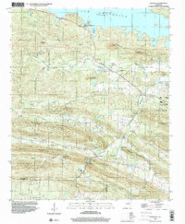
16 topographic sheets cover this place, the earliest surveyed in 1890 and the latest in 1994. It stands in Big Rock Township. It lies near Buzzard Mountain. The Survey maps it on the Ferndale quadrangle.
On record in Ferndale
Buildings and businesses the archive holds for this place. Each opens its own page, with the source record it came from.
On the National Register 1 record
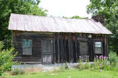 Doe Branch Post Officelisted 2001
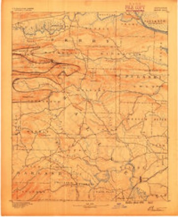
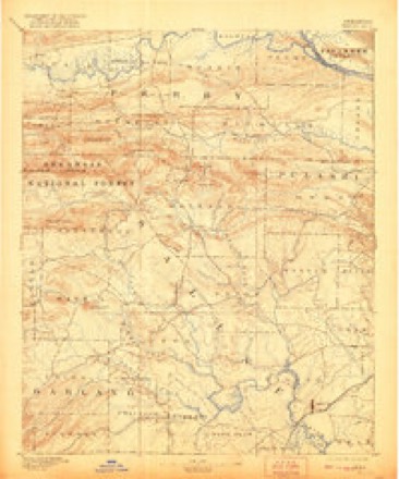
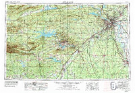
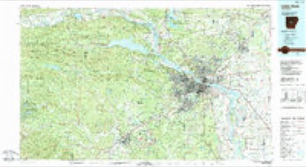
Topographic sheets covering this place
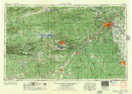
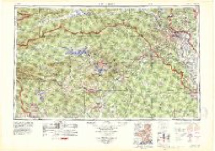
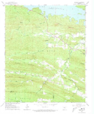
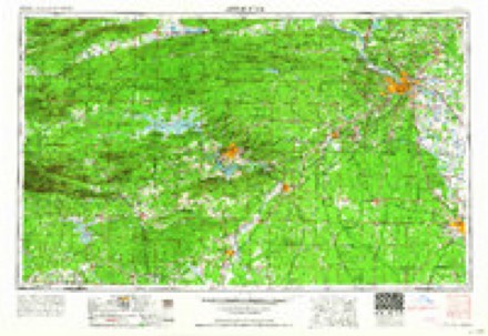
9 surveys from 16 printed sheetsMatched by testing this settlement's coordinate against the published boundary of every sheet in the United States Geological Survey's historical collection. Each opens the scanned sheet at the Survey.
- 1890 USGS Benton quadrangle1:125000
- 1894 USGS Benton quadrangle1:125000, 5 printings
- 1955 USGS Little Rock quadrangle1:250000
- 1956 USGS Little Rock quadrangle1:250000
- 1960 USGS Little Rock quadrangle1:250000
- 1963 USGS Ferndale quadrangle1:24000, 4 printings
- 1964 USGS Little Rock quadrangle1:250000
- 1985 USGS Little Rock quadrangle1:100000
- 1994 USGS Ferndale quadrangle1:24000
Fires near this place
98 since 1997Regional context, not property-specific evidence. The federal wildfire occurrence database lists 98 fires within 5 miles of Ferndale between 1997 and 2019, burning about 1,525 acres in total. 7 started naturally. 18 were recorded as arson. Distance is straight-line from the map coordinates, so a fire counted here may appear on a neighbouring settlement's page as well.
| Reported cause | Fires |
|---|---|
| Debris and open burning | 28 |
| Missing data/not specified/undetermined | 28 |
| Arson/incendiarism | 18 |
| Recreation and ceremony | 12 |
| Natural | 7 |
| Equipment and vehicle use | 4 |
| Misuse of fire by a minor | 1 |
The most recent of them, most recent first, with the day each was reported and the service that recorded it.
| Date | Cause | Size | Reported by | Name on the report |
|---|---|---|---|---|
| 28 September 1999 | Arson/incendiarism | 1.0 acres | Arkansas Forestry Commission | not named |
| 16 September 1999 | Arson/incendiarism | 60 acres | Arkansas Forestry Commission | not named |
| 14 September 2000 | Equipment and vehicle use | 7.0 acres | Arkansas Forestry Commission | not named |
| 11 September 2010 | Arson/incendiarism | 2.0 acres | Arkansas Forestry Commission | not named |
| 1 September 2000 | Arson/incendiarism | 10 acres | Arkansas Forestry Commission | not named |
| 9 August 1999 | Arson/incendiarism | 3.0 acres | Arkansas Forestry Commission | not named |
| 4 August 2008 | Natural | 19 acres | Arkansas Forestry Commission | not named |
| 30 August 2000 | Missing data/not specified/undetermined | 20 acres | Arkansas Forestry Commission | not named |
Settlements close enough to share some of these fires:
Mines and quarries near this place
8 within 5 milesRegional context, not property-specific evidence. The federal mineral resources record lists 8 workings within 5 miles of Ferndale: 4 unknowns, 3 prospects, 1 occurrence. None of them still produces. What was taken out: Slate, Dimension, Nickel, Talc-Soapstone, Nickel, Silica. Distance is straight-line from the map coordinates, so a quarry counted here may appear on a neighbouring settlement's page as well.
| Where | Site | Commodity | Status | Recorded |
|---|---|---|---|---|
| Big Bear Mining Co. | Copper | Unknown | ||
| H. J. White Prospect | Silica | Unknown | ||
| Unnamed | Nickel | Occurrence | Pyrite, Pyrrhotite, Soapstone | |
| Wallis Soapstone Pit | Talc-Soapstone, Nickel | Prospect | ||
| Duke-Warner Pit | Nickel, Talc-Soapstone | Prospect | ||
| Inman Soapstone Prospect | Nickel, Talc-Soapstone | Prospect | ||
| No Name | Slate, Dimension | Unknown | ||
| No Name | Slate, Dimension | Unknown |
Storms near this place
41 since 1993Regional context, not property-specific evidence. The National Weather Service names Ferndale in 41 storm reports between 1993 and 2024: 17 thunderstorm wind, 15 hail, 5 tornado, 3 flash flood. The reports record 3 deaths and 25 injuries. Each account below is quoted exactly as the forecast office filed it, from the NOAA Storm Events Database, and each date opens the federal record of that event.
| When | Event | Place named | Harm | What the report says |
|---|---|---|---|---|
| April 2014 | Tornado (EF3) | Ferndale | 3 killed, 25 hurt, $13,000,000 | A tornado began west of the Ferndale area, near the Saline/Pulaski County line. This was the first of five tornadoes produced by the same supercell thunderstorm. According to the American Red Cross, 7 houses were destroyed, 24 had major damage, 9 houses and 1 mobile home had minor damage, and 76 houses were affected in Pulaski County. Three members of one family, a 48-year-old male, a 20-year-old female, and a 14-year-old female, were killed in a house on Deer Dr. Communities affected included Ferndale and Roland. The tornado crossed the eastern portion of Lake Maumelle. The tornado exited Pulaski County 1.6 miles northeast of Roland, as it crossed the Arkansas River, and entered Faulkner County 0.6 mile southwest of Palarm. |
| April 2011 | Tornado (EF1) | Ferndale | $800,000 | This was the beginning of the tornado that was destined to cause major damage in Vilonia. In this section of Pulaski County, most of the damage consisted of trees being blown down. In addition, four large power transmission towers near the Arkansas River were destroyed. The tornado exited Pulaski County 1.31 miles northeast of Natural Steps and continued into Faulkner County 2.42 miles south of Palarm. |
| September 1993 | Thunderstorm Wind | Ferndale | $5,000 | Thunderstorm winds downed a few trees and power lines. |
| June 2012 | Thunderstorm Wind | Ferndale | $3,000 | Trees were blown down, blocking Col. Glenn Rd. |
| July 1994 | Thunderstorm Wind | Ferndale | $500 | A few trees were blown down. |
| March 2024 | Hail | Ferndale | - | Quarter-sized hail fell in the vicinity of Shady Grove on the western side of the Little Rock metro. |
| May 2024 | Hail | Ferndale | - | Dime-sized hail fell near the Shady Grove community. |
| May 2024 | Hail | Ferndale | - | Quarter-sized hail fell in the community of Shady Grove on the western side of the Little Rock metro. |
| July 2024 | Heavy Rain | Ferndale | - | A 24 hour rainfall total of 7.31 inches was measured at Ferndale. |
| July 2022 | Hail | Ferndale | - | Delayed report...several social media videos were seen of quarter sized hail falling between Ferndale and Paron near the Pulaski and Saline county line. |
| June 2021 | Flash Flood | Ferndale | - | A picture on social media showed water moving across a neighborhood road in Ferndale. |
| October 2020 | Thunderstorm Wind | Ferndale | - | A 12 inch diameter tree was blown down near the intersection of Denny and Weldon Rd. |
| June 2019 | Thunderstorm Wind | Ferndale | - | Trees were blown down. Some were down on power lines and one fell on a shed. |
| February 2019 | Thunderstorm Wind | Ferndale | - | Trees were blown down. |
| July 2018 | Thunderstorm Wind | Ferndale | - | Extensive tree damage and power lines were down in the vicinity of Waldenwood Lane and Denny Road. Roof damage was reported to several homes, along with chimney damage. |
| July 2018 | Thunderstorm Wind | Ferndale | - | Numerous trees were blown down at Denny Road and Ferndale Cutoff. |
| March 2017 | Thunderstorm Wind | Ferndale | - | Numerous trees and powerlines were blown down in the Ferndale area. |
| June 2017 | Flash Flood | Ferndale | - | Water was flowing over a portion of the road in Ferndale. |
| May 2016 | Thunderstorm Wind | Ferndale | - | A few trees were down and signs blown over near Burlingame Rd. south of Kanis. |
| April 2015 | Thunderstorm Wind | Ferndale | - | Trees were blown down near the intersection of Kanis and Burlingame roads. |
| April 2011 | Hail | Ferndale | - | The hail fell at the intersection of Col. Glenn Rd. and Whispering Pine Rd. |
| April 2007 | Hail | Ferndale | - | Hail slightly larger than softball size was reported on Garrison Road. |
| April 2007 | Flash Flood | Ferndale | - | Roads were flooded in the vicinity of Highway 10 and Barrett Road. |
| October 2007 | Thunderstorm Wind | Ferndale | - | Approximately 70 to 75 trees were reported down. |
| July 2002 | Thunderstorm Wind | Ferndale | - | Thunderstorm winds downed some trees. |
| December 2001 | Tornado (F0) | Ferndale | - | The storm that produced a weak tornado in western Saline County just north of Owensville spawned yet another weak tornado (F0) in western Pulaski County. The tornado touched down about 3 miles southeast of Ferndale and tracked northeast. The tornado mostly affected areas on hilltops, with trees uprooted and falling on at least one house. Some structural damage resulted at the home, with the roof mainly affected. The tornado dissipated roughly 5 miles southwest of Maumelle. |
| May 2001 | Thunderstorm Wind | Ferndale | - | Thunderstorm winds blew down several trees in the Ferndale area. |
| May 2000 | Tornado (F1) | Ferndale | - | A weak tornado briefly touched down in western Pulaski County about 3 miles southeast of Ferndale. The tornado downed about 20 to 30 trees...some large...with one tree on a shed. Only minor structural damage was noted, with a window blown out of a house. |
| April 1998 | Tornado (F0) | Ferndale | - | The Saline County tornado moved into Pulaski County 5.5 miles south of Ferndale at approximately 150 am CDT. The tornado travelled northeast for about 4.5 miles before lifting. Damage along the track of the tornado consisted of mainly trees and power lines being blown down. The damage was consistent with an F0 rating. |
| February 2017 | Hail | Ferndale | - | no account filed |
| April 2015 | Hail | Ferndale | - | no account filed |
| April 2015 | Hail | Ferndale | - | no account filed |
| May 2014 | Hail | Ferndale | - | no account filed |
| March 2011 | Hail | Ferndale | - | no account filed |
| November 2005 | Hail | Ferndale | - | no account filed |
| June 2001 | Hail | Ferndale | - | no account filed |
| August 2000 | Thunderstorm Wind | Ferndale | - | no account filed |
| January 1999 | Hail | Ferndale | - | no account filed |
| September 1998 | Thunderstorm Wind | Ferndale | - | no account filed |
| February 1998 | Hail | Ferndale | - | no account filed |
| March 1996 | Thunderstorm Wind | Ferndale | - | no account filed |
Nearest settlements
The eight closest, with where each one stands in the county. Distances are straight-line, computed from the Geographic Names Information System coordinates.
| Map | Place | Distance | Sheets |
|---|---|---|---|
| Holly Springs | 3.5 miles | 20 | |
| Northpoint | 3.9 miles | 16 | |
| Banty (historical) | 4.2 miles | 25 | |
| Pinnacle | 4.6 miles | 20 | |
| Shady Grove | 4.7 miles | 20 | |
| Twin Springs | 4.8 miles | 25 | |
| Martindale | 5.6 miles | 25 | |
| Alpine | 6.4 miles | 25 |
Provenance
This settlement is recorded in the Geographic Names Information System as feature 57749. The sheet list is computed by point-in-boundary test against the United States Geological Survey's historical topographic inventory. Both are works of the United States government and carry no copyright under 17 U.S.C. 105.
Wildfire. Short, Karen C. 2022. Spatial wildfire occurrence data for the United States, 1992-2020 [FPA_FOD_20221014]. 6th Edition. Fort Collins, CO: Forest Service Research Data Archive. https://doi.org/10.2737/RDS-2013-0009.6 Collected with United States Government funding and usable without additional permissions or fees.
Mines and quarries. USGS Mineral Resources Data System (MRDS) https://mrdata.usgs.gov/mrds/ A work of the United States government, no copyright under 17 U.S.C. 105.
Storms. NOAA National Centers for Environmental Information, Storm Events Database https://www.ncei.noaa.gov/stormevents/ A work of the United States government, no copyright under 17 U.S.C. 105. Narratives are quoted verbatim from the National Weather Service report and are not edited or summarised.